The best running trails around Aithsting And Sandsting
35
runners
12
runs
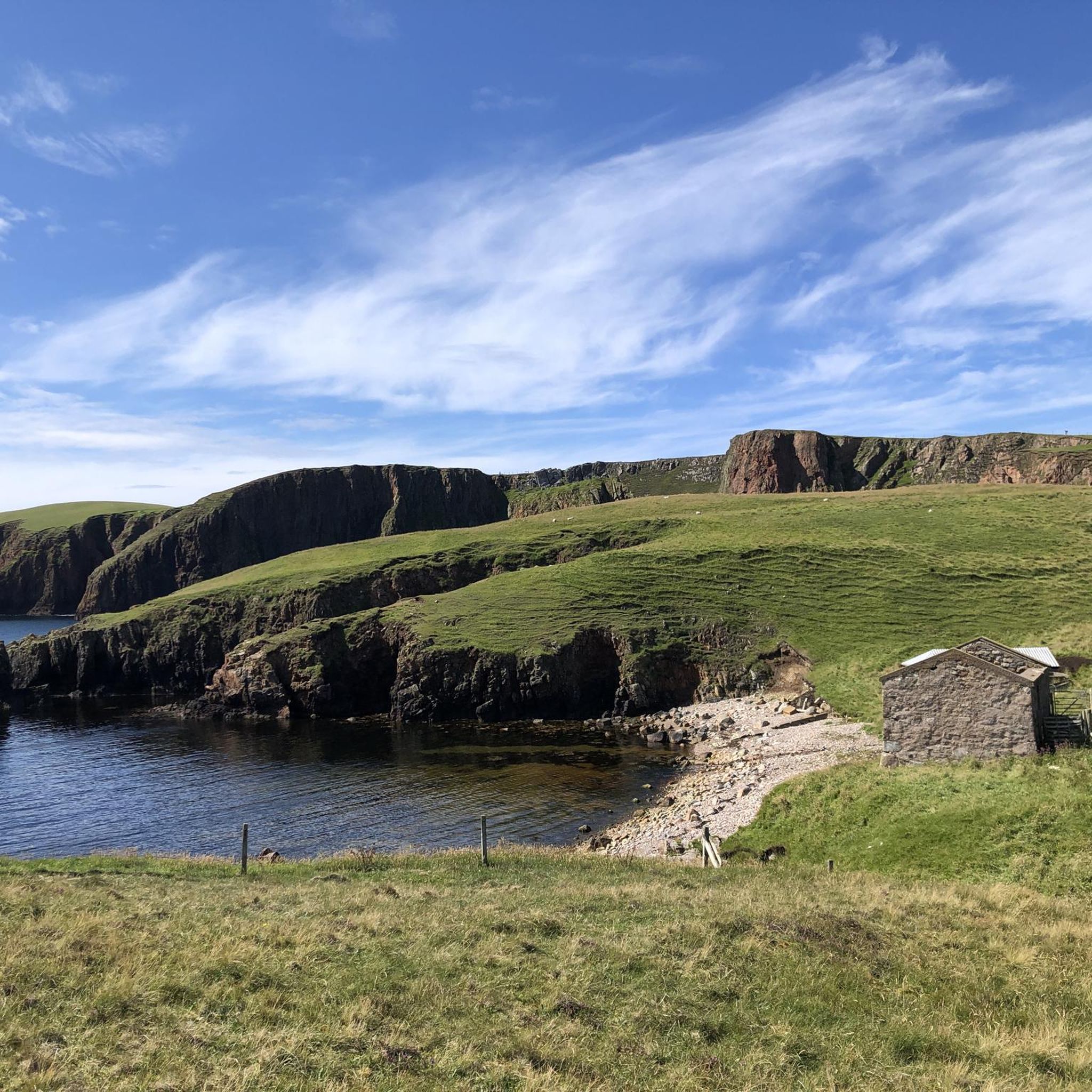
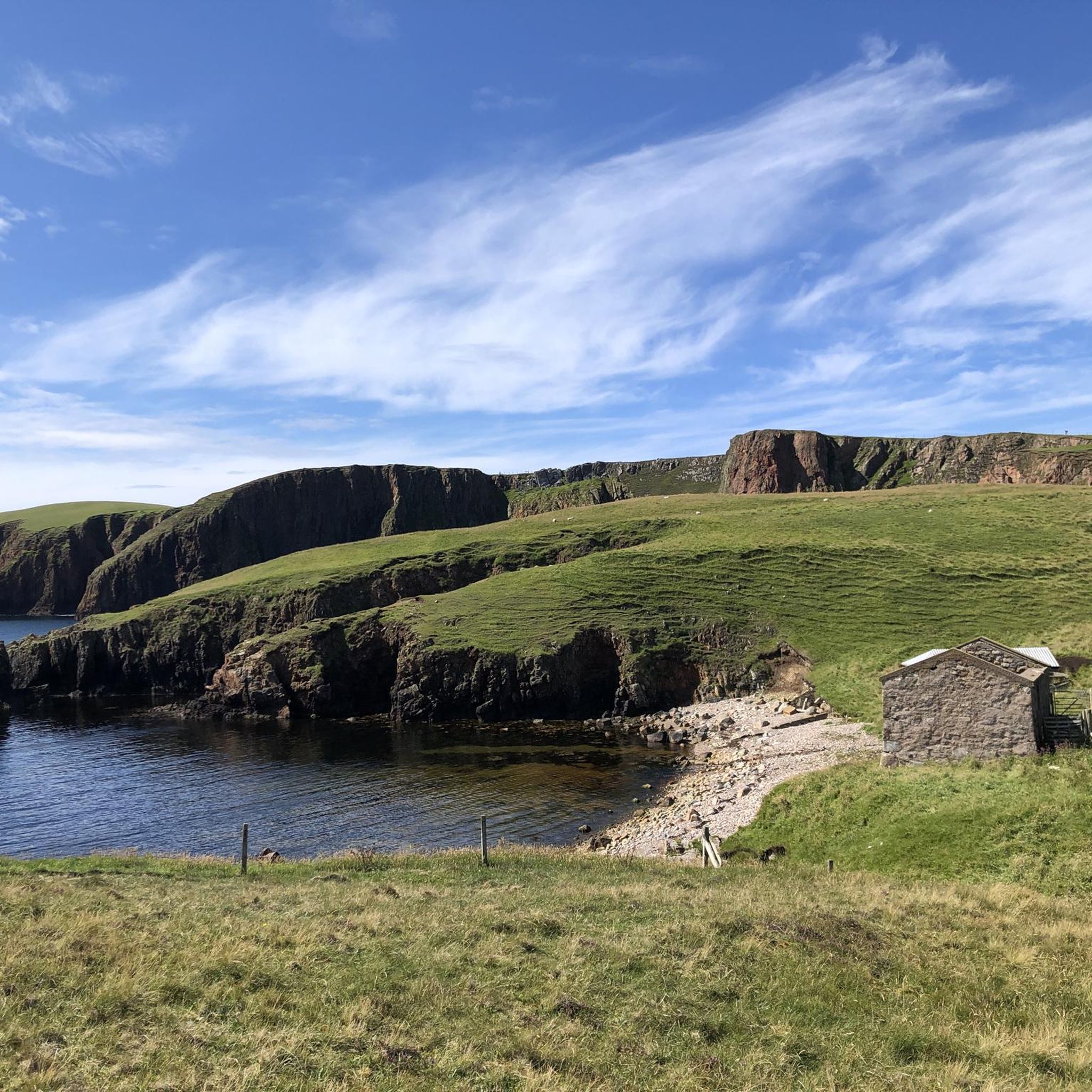
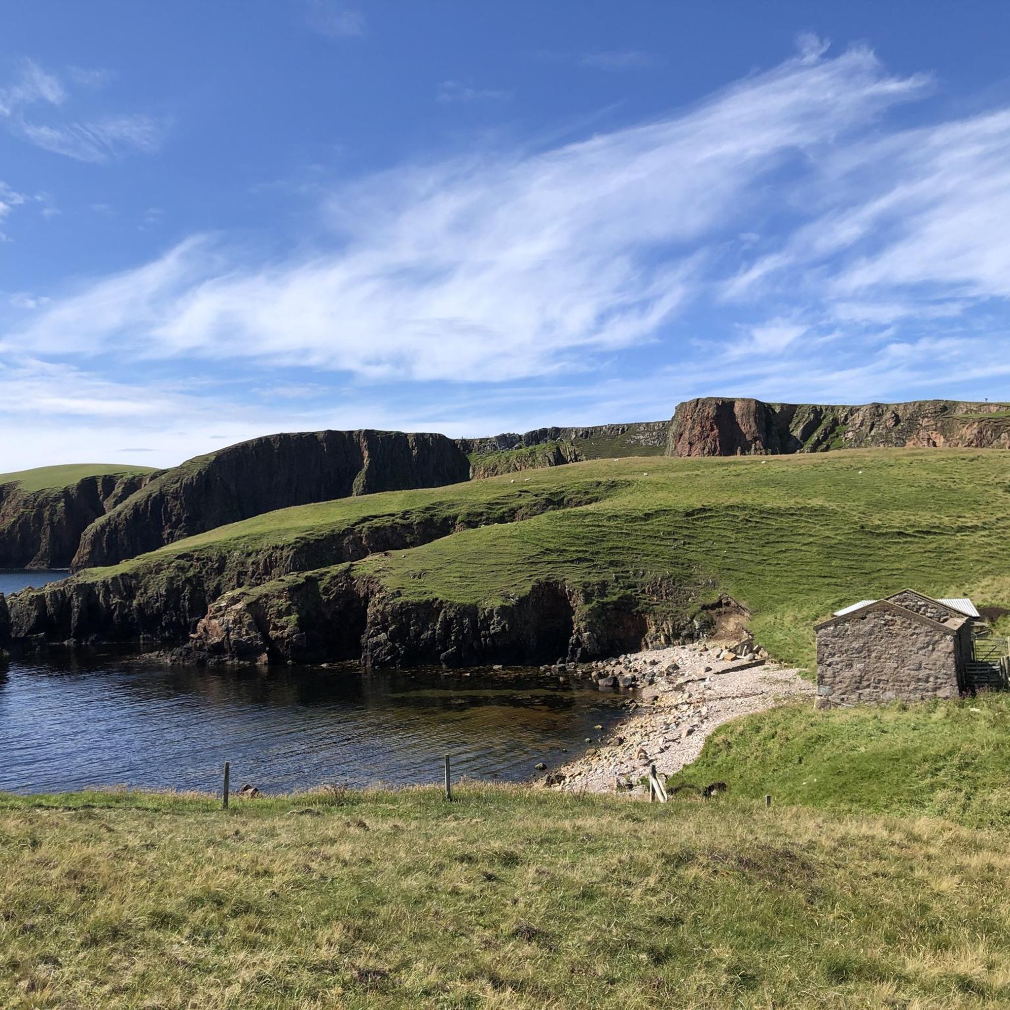
Jogging around Aithsting And Sandsting offers diverse natural landscapes for runners. The region features rewarding coastal paths, expansive heather moorland, and numerous freshwater lochs. Its terrain includes an assemblage of knolls and hillocks, providing varied experiences from gentle routes to more rugged cross-country options.
Best jogging routes around Aithsting And Sandsting
- The most popular jogging route is Meal Beach and Hamnavoe Circular, a 2.8 miles (4.5 km) trail that takes about 32 minutes to complete, offering coastal views.
- Another…
Last updated: May 16, 2026
2
runners
4.49km
00:32
40m
40m
Jog an easy 2.8-mile (4.5 km) circular route around Meal Beach and Hamnavoe, enjoying white sands and coastal views.
6
runners
6.21km
00:43
100m
100m
Moderate run. Good fitness required. Mostly paved surfaces. Suitable for all skill levels.

Sign up for free
3
runners
6.05km
00:39
110m
110m
Moderate run. Good fitness required. Mostly paved surfaces. Suitable for all skill levels.
4
runners
17.7km
01:52
200m
200m
Hard run. Very good fitness required. Mostly paved surfaces. Suitable for all skill levels.
2
runners
11.1km
01:10
80m
80m
Moderate run. Good fitness required. Mostly paved surfaces. Suitable for all skill levels.
Get access to more routes and recommendations from other explorers.
Sign up for free
Already have an account?
Our route recommendations are based on thousands of hikes, rides, and runs completed by other people on komoot.
Start today with a free account
Your next adventure awaits.
Login or Signup
Popular around Aithsting And Sandsting
Tips from the Community

Great sandy beach that invites you to take a cool swim
0
0

The first museum in Scalloway was opened in 1985 by the Scalloway History Group and ran successfully for 20 years. One of the main topics was the "Shetland Bus" - the nickname for a secret and dangerous operation carried out across the North Sea between the Shetland Islands and occupied Norway during the Second World War. In 2001, the Shetland Bus Friendship Society (SBFS) was formed to memorialize the 44 men who died in the Shetland Bus operations. The memorial was inaugurated in 2003. Visit The Shetland Bus page for more details about the memorial and the names of the 44 fallen soldiers. By this time, the original museum had outgrown its old premises on Main Street, so the society initiated a six-year project to finance and establish the current museum in larger premises adjacent to the castle. The new museum was opened by the Prime Minister of Norway in 2012 and has become a very popular attraction for visitors from all over the world. It is owned by the municipality and operated by SBFS. It is staffed by a knowledgeable and enthusiastic group of volunteers.
0
0

The ruins are on a headland at the southeast end of Scalloway, opposite the harbour. It has an L-shaped floor plan and is still partly preserved up to the full height of four floors. The roof, on the other hand, collapsed, as did the intermediate floors. The masonry is of rubble stone, while the windows are framed by blocks of sandstone, which were also used as quoins at the edges of the building. The corners of the building are reinforced with bay towers with decorated corbels. Below the ruin is a vault that once housed the cellar and kitchen.
0
1
Neat little gardens can be found along the road.
0
0

Fugla Ness lighthouse is on the finger of land forming the western side of Burra Voe, so it's an out and back moment on your run, but a landmark that's worth it. The original light was rebuilt with the current tower in 1936 and it continues to guide boats into the harbour past the rocks and reefs found among the Scalloway Islands.
1
0
Meal beach offers beautiful white sand that gently slopes into the clear turquoise water (when the weather is favourable). The beach is somewhat sheltered, making it a great place to stop off on your route.
1
0
Meal beach offers the visitor beautiful white sand that gently slopes into the clear turquoise water (when the weather is favourable). The beach is somewhat sheltered, making it a great place to stop off on your route.
1
1
Fugla Ness lighthouse is on the finger of land forming the western side of Burra Voe. The original light was rebuilt with the current tower in 1936 and it continues to guide boats into the harbour past the rocks and reefs found amongst the Scalloway Islands.
1
0
Frequently Asked Questions
How many running routes are available in Aithsting And Sandsting?
There are over 10 dedicated running routes around Aithsting And Sandsting, offering a variety of experiences from easy coastal paths to more challenging moorland trails. These routes are popular with over 30 runners who have explored the area using komoot.
What kind of terrain can I expect on the running trails in Aithsting And Sandsting?
The terrain in Aithsting And Sandsting is diverse, featuring rewarding coastal paths with sea views, expansive heather moorland, and routes around serene freshwater lochs. You'll encounter a mix of knolls and hillocks, providing options for both gentle runs and more rugged, cross-country experiences.
Are there any easy or beginner-friendly running routes in the area?
Yes, Aithsting And Sandsting offers several easy running options. For instance, the Meal Beach and Hamnavoe Circular is an easy 2.8-mile (4.5 km) trail, perfect for a gentle run with coastal views. The overall landscape is noted for its gentle nature, making it accessible for various fitness levels.
Can I find circular running routes in Aithsting And Sandsting?
Absolutely. Many of the running paths in Aithsting And Sandsting are circular, allowing you to start and finish in the same location. Popular circular routes include the Meal Beach and Hamnavoe Circular and the Reawick beach loop from Ward of Reawick.
What are some notable landmarks or attractions I might see while running?
While running in Aithsting And Sandsting, you can encounter various natural and historical sights. You might pass by the tranquil Loch of Tingwall and Law Ting Holm, the unique Mavis Grind Isthmus, or enjoy a View of Scalloway. Coastal routes often feature stunning viewpoints like Muckle Ayre Beach.
Are the running trails in Aithsting And Sandsting suitable for families?
Yes, the gentle landscape of Aithsting And Sandsting makes many of its paths suitable for families. The area features low-lying heather moorland and accessible coastal walks. Routes like the Meal Beach and Hamnavoe Circular are generally easy and can be enjoyed by families looking for an outdoor activity.
Are dogs allowed on the running paths in Aithsting And Sandsting?
Generally, dogs are welcome on the outdoor paths in Aithsting And Sandsting. The wider Shetland Islands have a comprehensive core path system that caters to various users, including those with dogs. However, it's always advisable to keep dogs under control, especially around livestock, and to follow the Scottish Outdoor Access Code.
Where can I find parking for the running routes?
While specific parking details for every trailhead are not listed, most popular outdoor access points and trailheads in rural areas like Aithsting And Sandsting typically have designated parking areas or roadside parking available. It's recommended to check local signage upon arrival or consult detailed route maps for specific parking information.
Are there any challenging or advanced running routes in Aithsting And Sandsting?
Yes, for more experienced runners, Aithsting And Sandsting offers more challenging routes. For example, the Scalloway Castle – View of Scalloway loop from Scalloway is a difficult 11-mile (17.7 km) route with significant elevation changes, providing a more strenuous workout and rewarding views.
What makes running in Aithsting And Sandsting unique?
Running in Aithsting And Sandsting offers a unique experience due to its wild and untouched nature. You'll encounter winding roads through rough hills, vast landscapes, and the chance to spot Shetland ponies roaming freely. The combination of bold, rocky coastlines, expansive heather moorland, and numerous serene lochs provides a truly immersive natural environment.
Are there any plantations or wooded areas suitable for running?
Yes, for a different kind of scenic run, you can explore attractive plantations with public access. Notable examples include Michaelswood in Aith and Da Gairdins o' Sand, which offer a contrast to the open moorland and coastal paths.
What is the best way to explore the running routes in Aithsting And Sandsting?
The best way to explore the running routes is to utilize the existing network of coastal paths, moorland tracks, and routes around the numerous lochs. These provide ample and varied opportunities to experience the natural beauty. Using a navigation app like komoot can help you discover and follow these paths effectively.
Most popular routes around Aithsting And Sandsting
Most popular attractions around Aithsting And Sandsting

Get inspired with the komoot mobile app


Explore more
Browse the best Running Trails & Routes in other regions.
