Royal Burgh Of Selkirk And District
Royal Burgh Of Selkirk And District
The 15 Most Amazing Peaks around Royal Burgh Of Selkirk And District
Best mountain peaks around Royal Burgh Of Selkirk And District are characterized by the distinctive Eildon Hills, a triple-peaked formation in the Scottish Borders. This region, part of the Southern Uplands, offers a landscape shaped by ancient geological processes. The area provides a variety of elevations and historical sites, making it a notable destination for outdoor exploration. Its natural features include prominent summits and accessible hills, contributing to a diverse outdoor experience.
Best mountain peaks around Royal Burgh Of Selkirk…
Last updated: July 3, 2026
Eildon Hill North
Highlight • Summit
Tip by

Eildon Mid Hill Summit
Highlight • Viewpoint
Tip by

Sign up now to discover places like this
Get recommendations on the best single tracks, peaks, & plenty of other exciting outdoor places.
Sign up for free
Summit Cairn, Minch Moor
Highlight • Viewpoint
Tip by

Eildon Wester Hill
Highlight • Summit
Tip by
Mavinsglen Forest Walks Junction
Highlight • Forest
Tip by

Sign up for free to discover even more peaks around Royal Burgh Of Selkirk And District.
Sign up for free
Already have an account?
Start today with a free account
Your next adventure awaits.
Login or Signup
Popular around Royal Burgh Of Selkirk And District
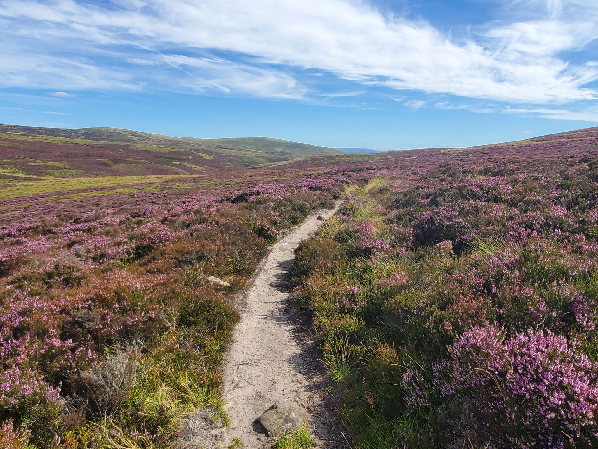
Hike in the footsteps of history – Cross Borders Drove Road
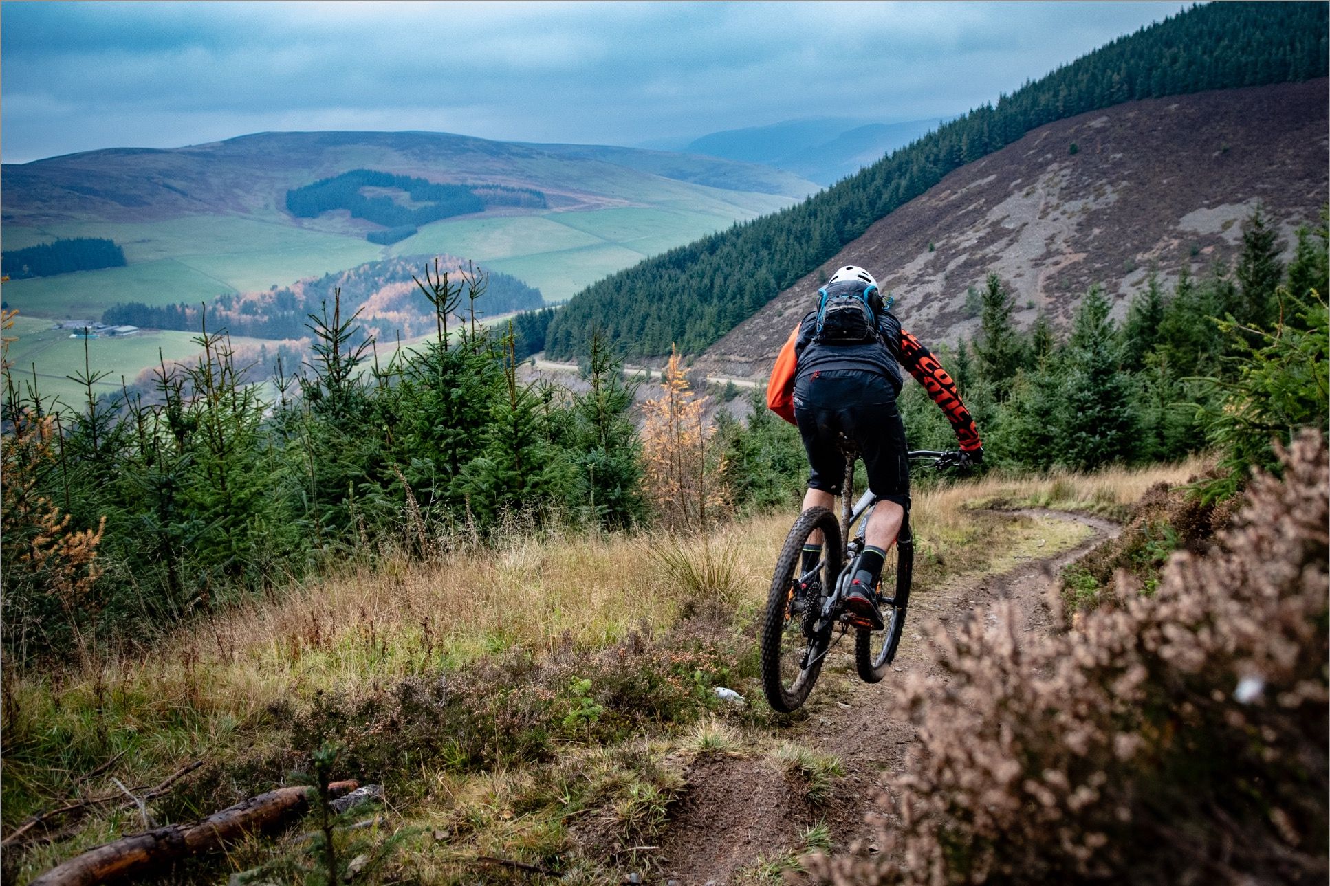
The Tweed Valley — Biking the Borders
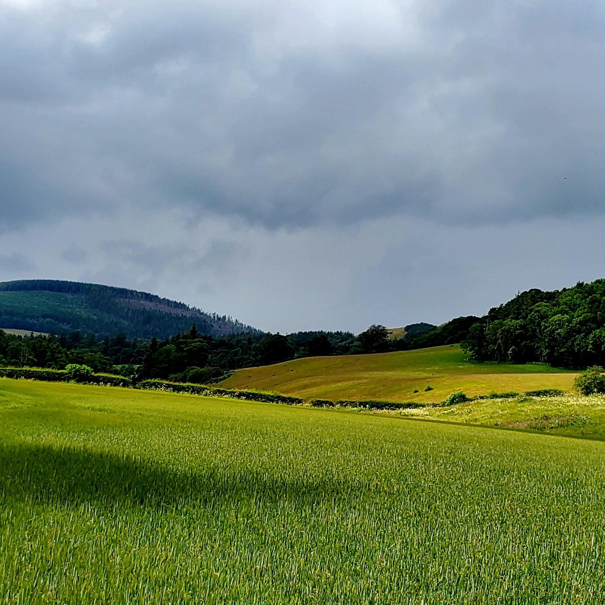
Hiking around Royal Burgh Of Selkirk And District
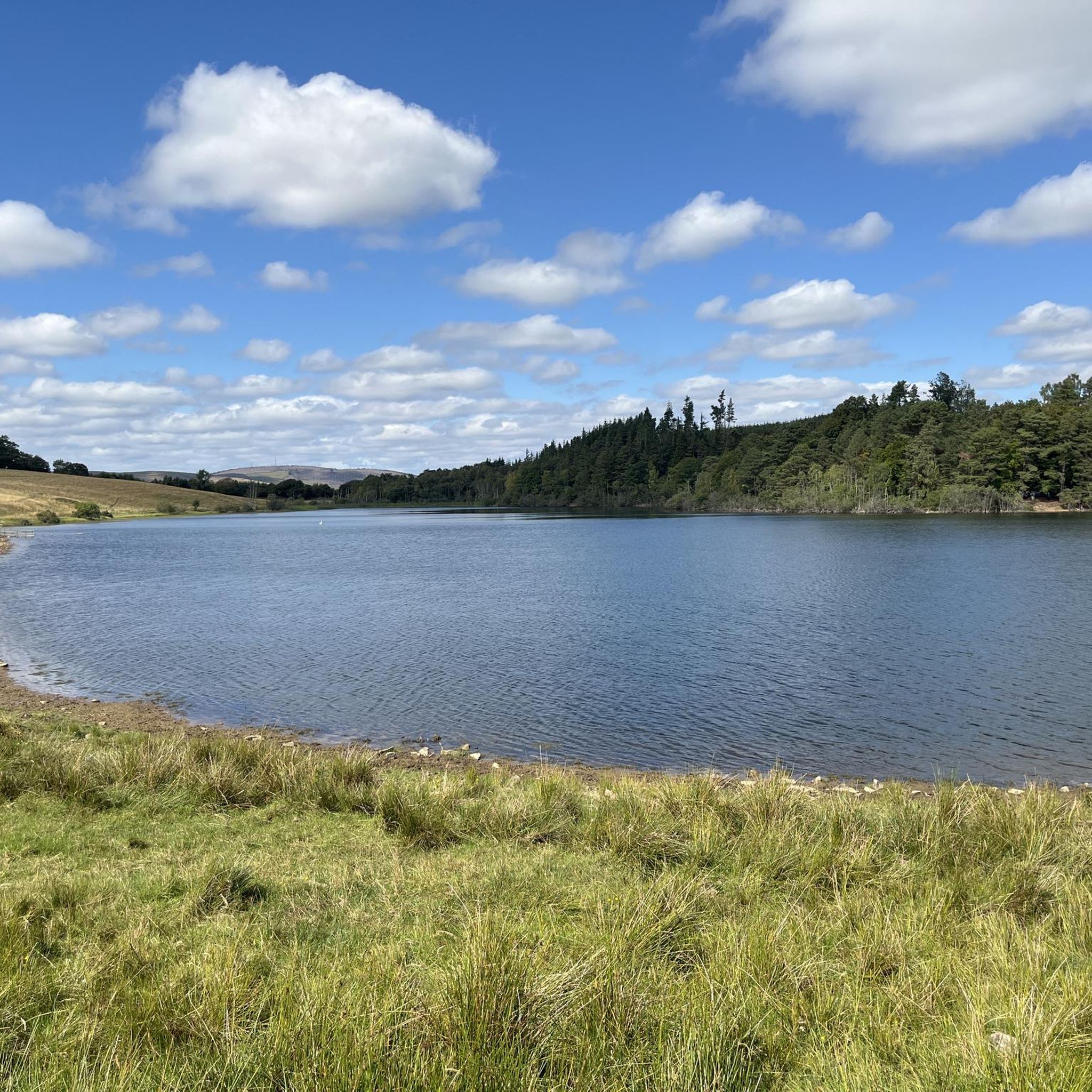
Cycling around Royal Burgh Of Selkirk And District
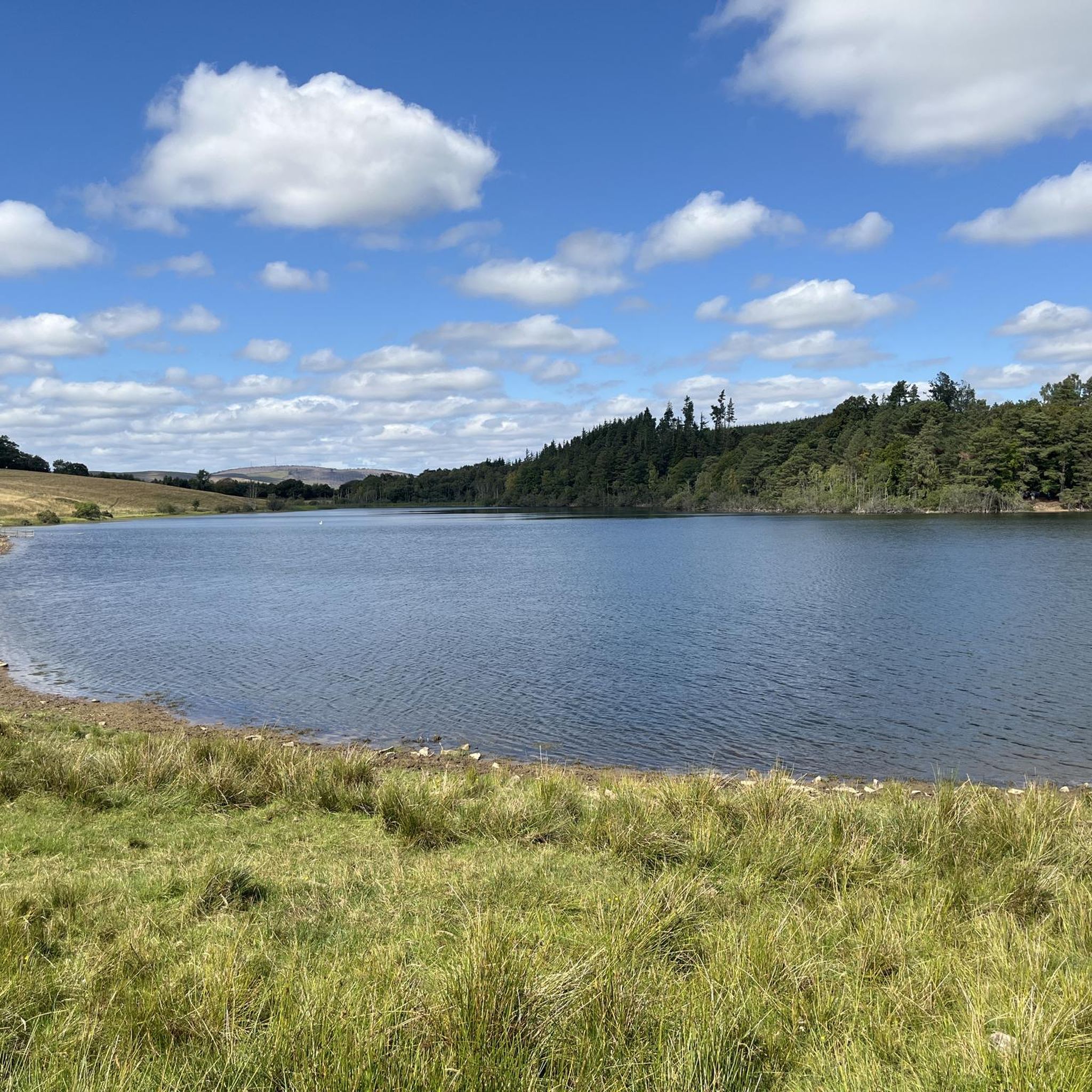
MTB Trails around Royal Burgh Of Selkirk And District
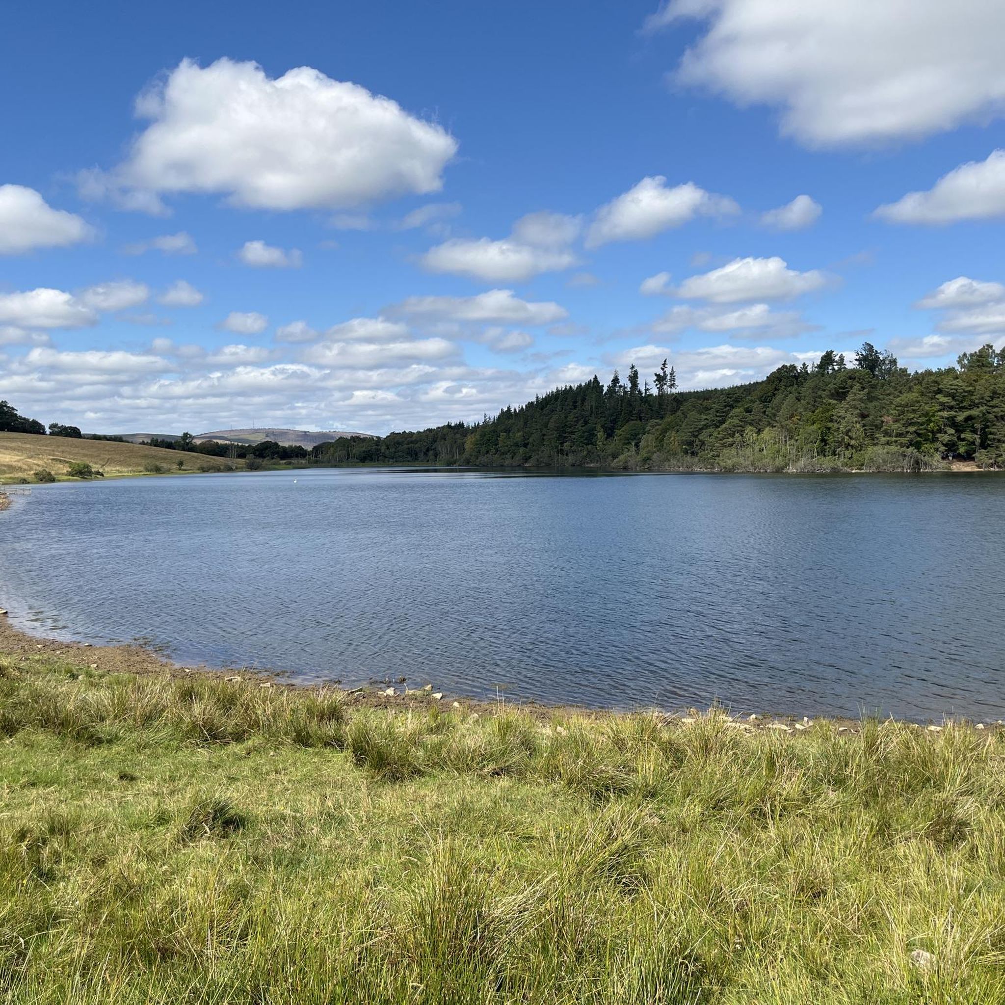
Road Cycling Routes around Royal Burgh Of Selkirk And District
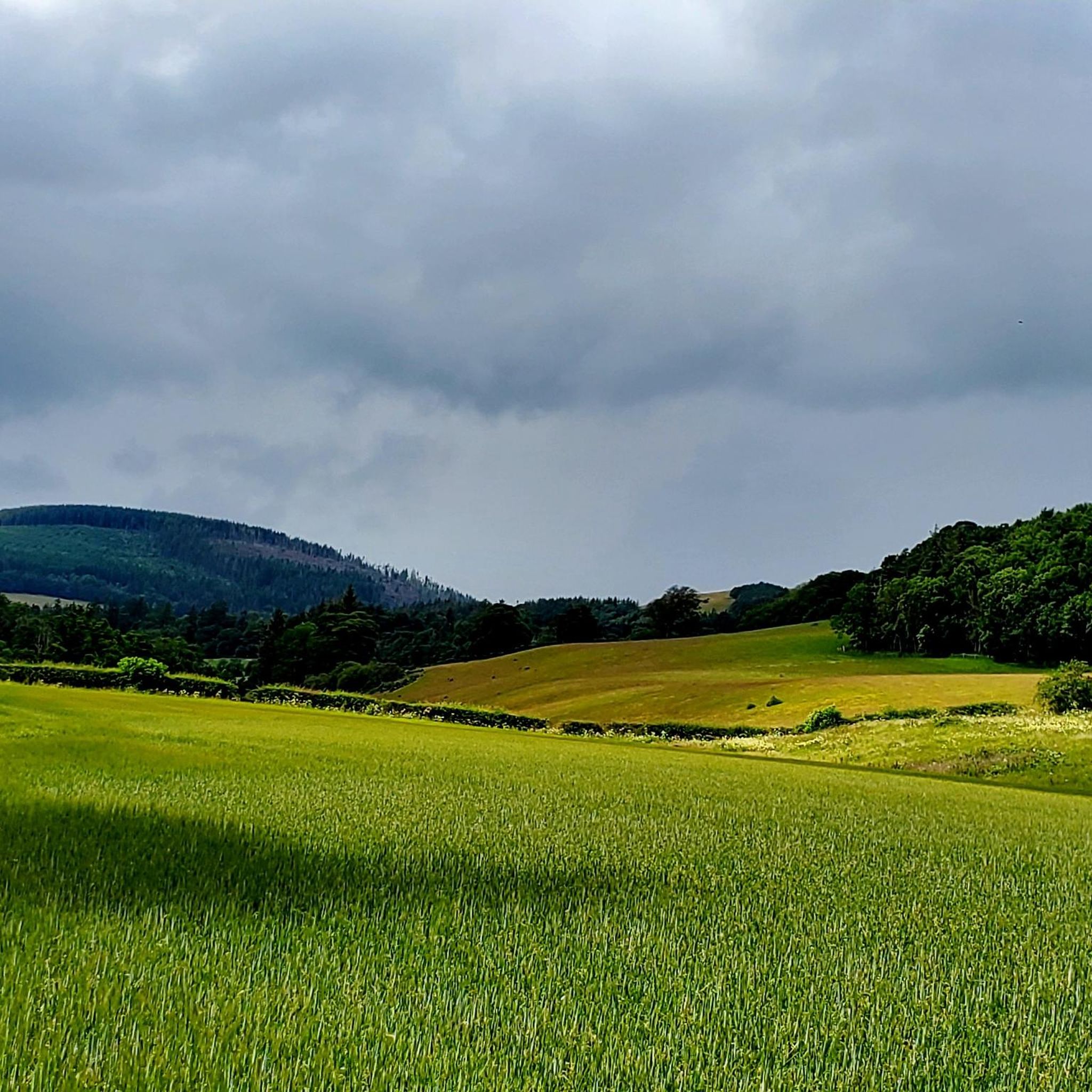
Running Trails around Royal Burgh Of Selkirk And District

Gravel biking around Royal Burgh Of Selkirk And District
Other adventures around Royal Burgh Of Selkirk And District


Tips from the Community

Eildon Hill North is an historic, photogenic and widely visible landmark in the Scottish Borders. At 1325 feet (404 m) this peak is the second highest of the three Eildon (pronounced ‘Eeldon’) Hills located just south of Melrose. The significance of Eildon Hill North was recognised by Bronze Age and Iron Age peoples and by the Romans. This peak was the site of the largest Iron Age hill fort in Scotland. Up to 2000 people are thought to have lived here at the same time. Today the pockmarks from hundreds of roundhouse platforms and nearly 1-mile of defences are still visible. When the Romans came in about 80 AD they built their mighty garrison fort called ‘Trimontium’ (named after the three Eildon peaks) immediately below Eildon Hill North and also placed a signal station on this summit. Trimontium was the largest Roman settlement north of Hadrian’s Wall. The short but steep climb up Eildon Hill North is well worth the effort! On a clear day you will be rewarded with stunning views. The popular St Cuthbert’s Way that runs from Melrose Abbey to Holy Island in Northumberland climbs over the col in the Eildon Hills and provides a pleasant way up Eildon Hill North.
2
0

The central and highest of the Eildon Hills Eildon Mid Hill stands at 422m and offers the best views. Look northeast to the Iron Age hill fort ramparts on the north hill, south over the smaller Wester Hill and north over Melrose. The three hills are a great run from Melrose, steep and punchy but not actually that high or far so perfect for a half day or pre/post work run. Great views and some good vert for the distance.
0
0
The most western and the lowest of the three Eildon Hills this is also the furthest from Melrose which is the normal starting point for this run. The Wester Hill stands at 371m and like the other two summits you still get great views.
0
0
The north summit of the Eildon Hills stands at 404m. It was the largest Iron Age hill fort in Scotland with spaces flattened for at least 300 dwellings and a set of walls and ramparts around the whole summit. Later the Romans built a signalling station here. Today it's a great running loop from Melrose taking in the three summits in a nice loop.
0
0

Great views of the surrounding area and the other Eildon HIlls. A steep mid section adds an element of toughness but the majority of the climb is pretty easy going.
0
0

At 1,217 feet (371 m), Wester Hill is the smallest of the three peaks that make up the Eildon Hills. However, it's definitely worth the trek for the views back towards lofty Mid Hill and North Hill, which was once the site of one of the largest hillforts in Scotland. Late summer, when the heather is at its most vibrant, is a glorious time to explore these hills.
2
0
Legend has it that the triumvirate of peaks that form the Eildon Hills were split asunder by a wizard named Michael Scot with the assistance of an idle devilish spirit. The true origin of these charismatic mini-mountains has more to do with geological wizardry. The Eildon Hills' foundations are the eroded remnants of a suite of igneous trachytic and rhyolitic sills. In other words, places where magma worked its way between sedimentary layers and solidified some 350 million years ago. Eildon Mid Hill is the summit of the massif, standing proud at 1,385 feet (422 m) and rewarding your efforts with sumptuous views of the surrounding countryside.
3
0

Beautiful hillside walk particularly in August with the heather on bloom
2
0
Frequently Asked Questions
What are the most prominent mountain peaks to explore in the Royal Burgh of Selkirk and District?
The most prominent peaks in the immediate vicinity of Selkirk are the Eildon Hills, a distinctive triple-peaked formation. These include Eildon Hill North, Eildon Mid Hill Summit, and Eildon Wester Hill. While the wider Scottish Borders region has other hills, the Eildons are the undisputed highlight for their accessibility, views, and historical significance.
What makes the Eildon Hills unique in the Scottish Borders?
The Eildon Hills are unique due to their distinctive triple-peaked formation and geological origins. They are the eroded remnants of igneous trachytic and rhyolitic sills, formed about 350 million years ago when magma solidified between sedimentary layers. This geological history contributes to their striking appearance and the panoramic views they offer.
What kind of views can I expect from the mountain peaks in this region?
From the summits of the Eildon Hills, particularly Eildon Mid Hill Summit and Eildon Hill North, you can expect extensive panoramic views of the Scottish Borders countryside. This includes vistas of the town of Melrose, the surrounding valleys, and on clear days, a wide expanse of the region.
Are there any historical sites on the mountain peaks near Selkirk?
Yes, Eildon Hill North is historically significant. It was the site of one of the largest Iron Age hill forts in Scotland, with evidence of Bronze Age occupation. Later, a Roman army signaling station was established on the same site, overlooking the Roman fort of Trimontium below.
What is the best time of year to hike the Eildon Hills?
Late summer is considered a glorious time to explore the Eildon Hills, especially when the heather is in full bloom. This period offers vibrant colours and generally pleasant hiking conditions. However, the hills are accessible year-round, with clear days offering stunning views regardless of the season.
Are there family-friendly walking options among the peaks near Selkirk?
The Eildon Hills offer a challenging yet manageable walk, often starting from Melrose, making them suitable for a half-day outing. While the climbs can be steep in sections, the well-maintained paths and rewarding views make them a popular choice for families with older children. For easier options, consider routes like the Cottage Wood and Haining Loch loop or the Hare Moss and Big Wood loop, which are rated as easy hikes in the area.
What hiking trails are available near the mountain peaks in the Royal Burgh of Selkirk and District?
The region offers a variety of hiking trails. The popular St Cuthbert's Way crosses the col between the Eildon Hills, providing a pleasant way to ascend Eildon Hill North. Other hiking routes in the area include the moderate 'The Three Brethren loop' and 'Tibby Tamson burial grave and Harehead Hill loop', or easier options like 'Cottage Wood and Haining Loch loop'. You can find more details on these and other routes on the Hiking around Royal Burgh Of Selkirk And District guide.
Can I find cycling or gravel biking routes near these mountain peaks?
Yes, the Royal Burgh of Selkirk and District offers numerous cycling and gravel biking opportunities. For gravel biking, routes like the 'Tweed Valley Near Innerleithen – Old Peel Road loop' or 'Redbridge Viaduct – Caulshield Loch loop' are available. Cyclists can explore routes such as the 'Selkirk Yellow Route' or the 'River Ettrick – Melrose Abbey loop'. More information on these activities can be found in the Gravel biking around Royal Burgh Of Selkirk And District guide and the Cycling around Royal Burgh Of Selkirk And District guide.
Where can I park to access the Eildon Hills walks?
The Eildon Hills are commonly accessed from Melrose, where various parking options are available in the town. Many walking routes, including those leading up the Eildons, start from Melrose, making it a convenient base for your exploration.
What is the highest point among the Eildon Hills?
The highest point among the Eildon Hills is Eildon Mid Hill Summit, standing at 422 meters (1,385 feet). It offers some of the most expansive views of the surrounding Scottish Borders.
Are there any other notable viewpoints or summits in the wider Selkirk area besides the Eildon Hills?
Beyond the Eildon Hills, another notable viewpoint is the Summit Cairn, Minch Moor. This location serves as an intersection for various MTB and walking trails and provides excellent views, though it can be challenging in wet conditions.
What kind of wildlife might I spot around the Eildon Hills?
While specific wildlife sightings are not guaranteed, the Eildon Hills and the surrounding Scottish Borders are home to various native species. Hikers might encounter common birds, small mammals, and insects. The diverse landscape, from heather-clad hills to forested areas, supports a range of local flora and fauna.
Are there any long-distance trails that pass through the area's peaks?
Yes, several notable trails intersect or pass near the peaks in the region. The popular St Cuthbert's Way, which runs from Melrose Abbey to Holy Island, crosses the col in the Eildon Hills. Additionally, the Mavinsglen Forest Walks Junction marks a point where the Cross Borders Drove Road, Border Abbeys Way, Buccleuch County Ride, Great North Trail, and Reiver Raid all converge, indicating a rich network of long-distance routes.
Most popular routes around Royal Burgh Of Selkirk And District
Most popular attractions around Royal Burgh Of Selkirk And District

Get inspired with the komoot mobile app


Explore more
See even more amazing summits around Royal Burgh Of Selkirk And District with these guides:
