Lilliesleaf, Ashkirk And Midlem
Lilliesleaf, Ashkirk And Midlem
The best running trails around Lilliesleaf, Ashkirk And Midlem
4.8
(11)
1,830
runners
219
runs
Jogging routes around Lilliesleaf, Ashkirk And Midlem traverse a landscape characterized by rolling hills, expansive moorland, and woodlands. The terrain includes a network of valleys and hills, offering a mix of gentle and more challenging running routes. This region provides varied physical features for runners, from tranquil lochs to the distinctive Eildon Hills.
Best jogging routes around Lilliesleaf, Ashkirk And Midlem
- The most popular jogging route is Eildon Wester Hill – Eildon Mid Hill Summit loop from Bowden, a…
Last updated: June 26, 2026
18
runners
11.4km
01:44
580m
580m
Hard run. Very good fitness required. Mostly paved surfaces. Suitable for all skill levels.
8
runners
5.42km
00:37
40m
40m
Moderate run. Good fitness required. Mostly paved surfaces. Suitable for all skill levels.

Sign up for free
7
runners
7.57km
00:50
50m
50m
Moderate run. Good fitness required. Mostly paved surfaces. Suitable for all skill levels.
5.0
(1)
4
runners
5.70km
00:37
80m
90m
Moderate run. Good fitness required. Mostly paved surfaces. Suitable for all skill levels.
3
runners
9.96km
01:07
200m
200m
Moderate run. Good fitness required. Mostly paved surfaces. Suitable for all skill levels.
Get access to more routes and recommendations from other explorers.
Sign up for free
Already have an account?
Our route recommendations are based on thousands of hikes, rides, and runs completed by other people on komoot.
Start today with a free account
Your next adventure awaits.
Login or Signup
Popular around Lilliesleaf, Ashkirk And Midlem
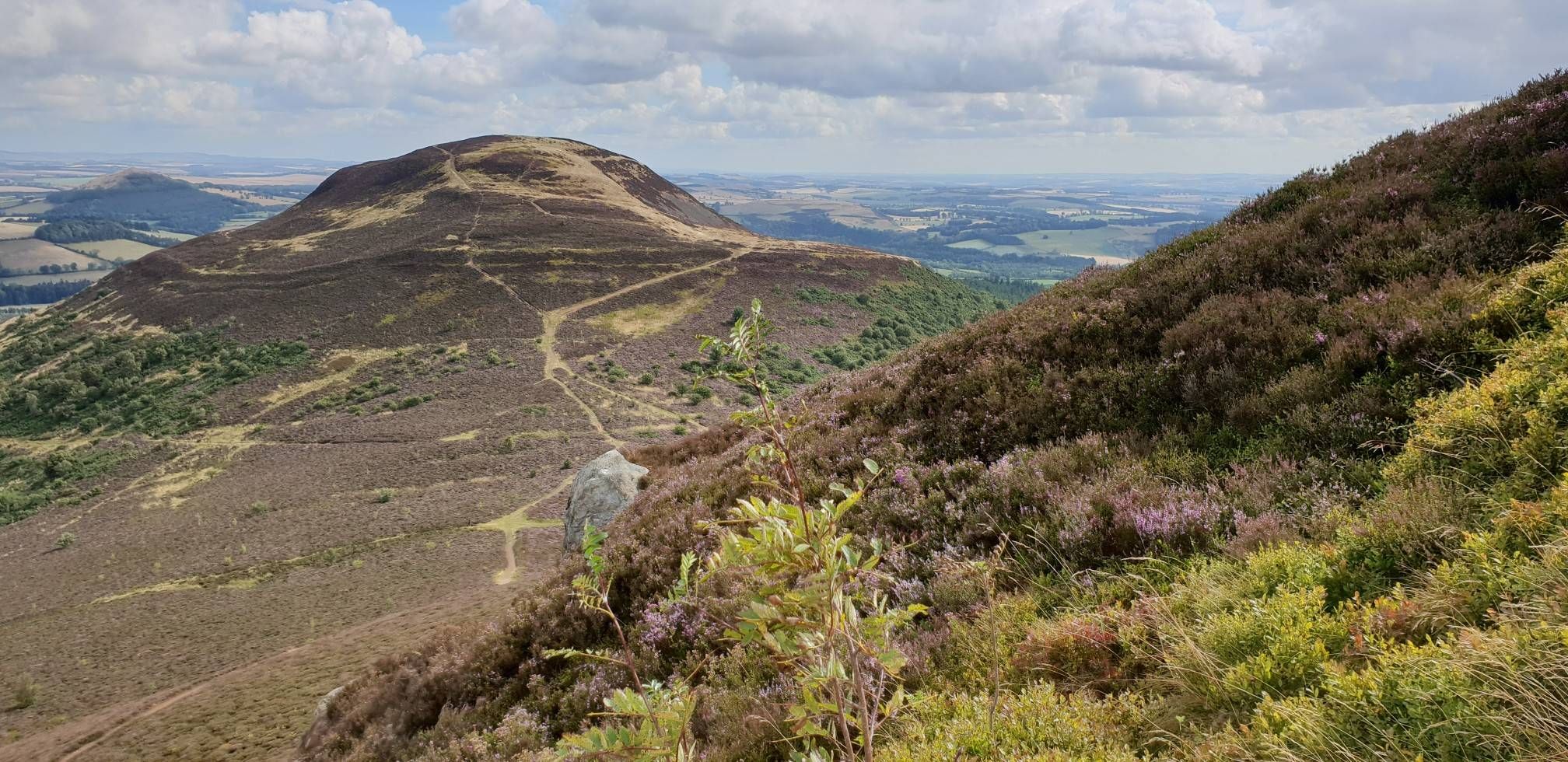
Bikepacking the Borderlands triple loop — the Reiver Raid
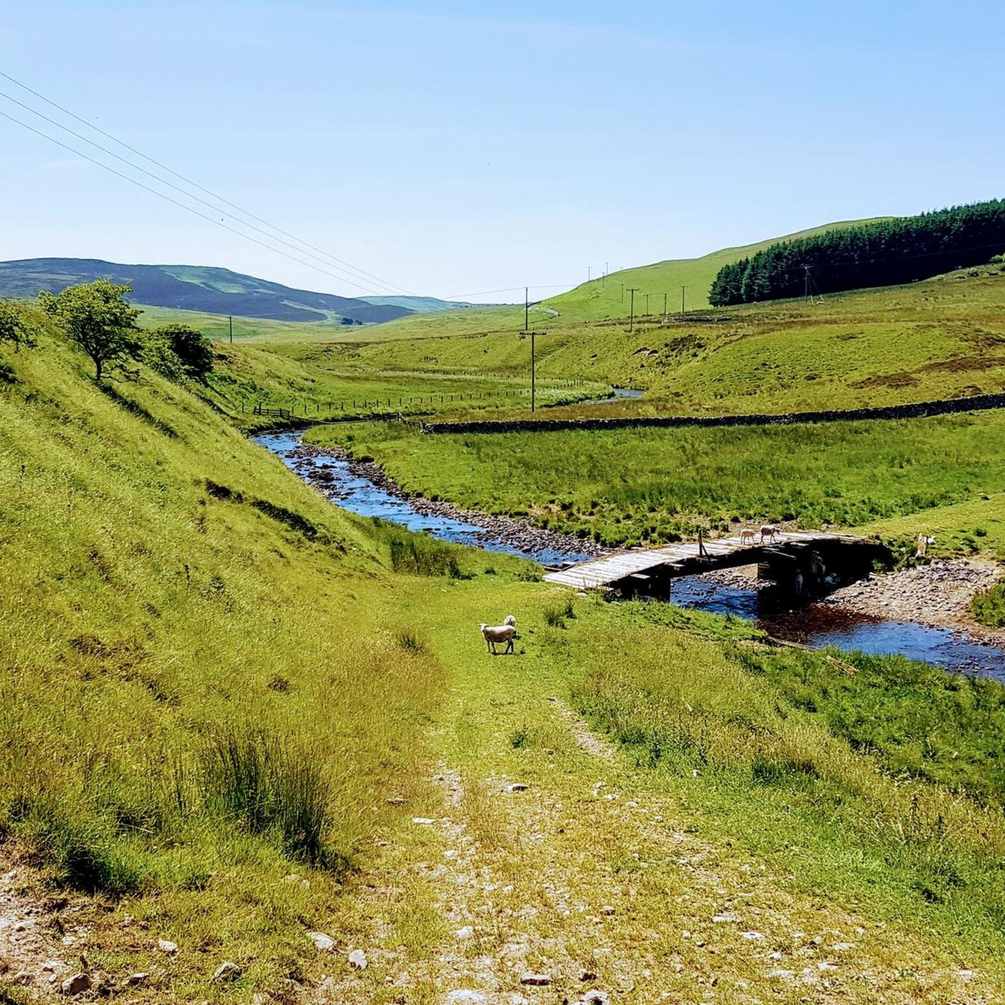
MTB Trails around Lilliesleaf, Ashkirk And Midlem
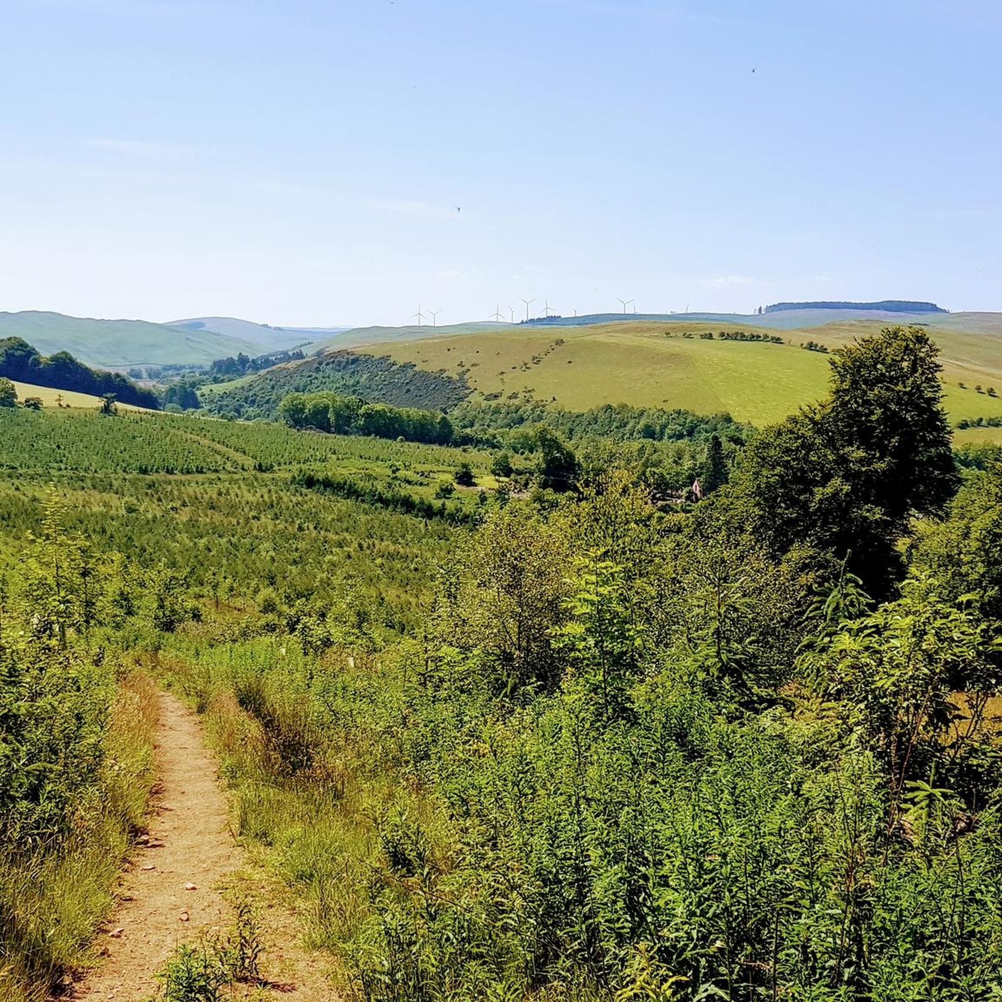
Cycling around Lilliesleaf, Ashkirk And Midlem
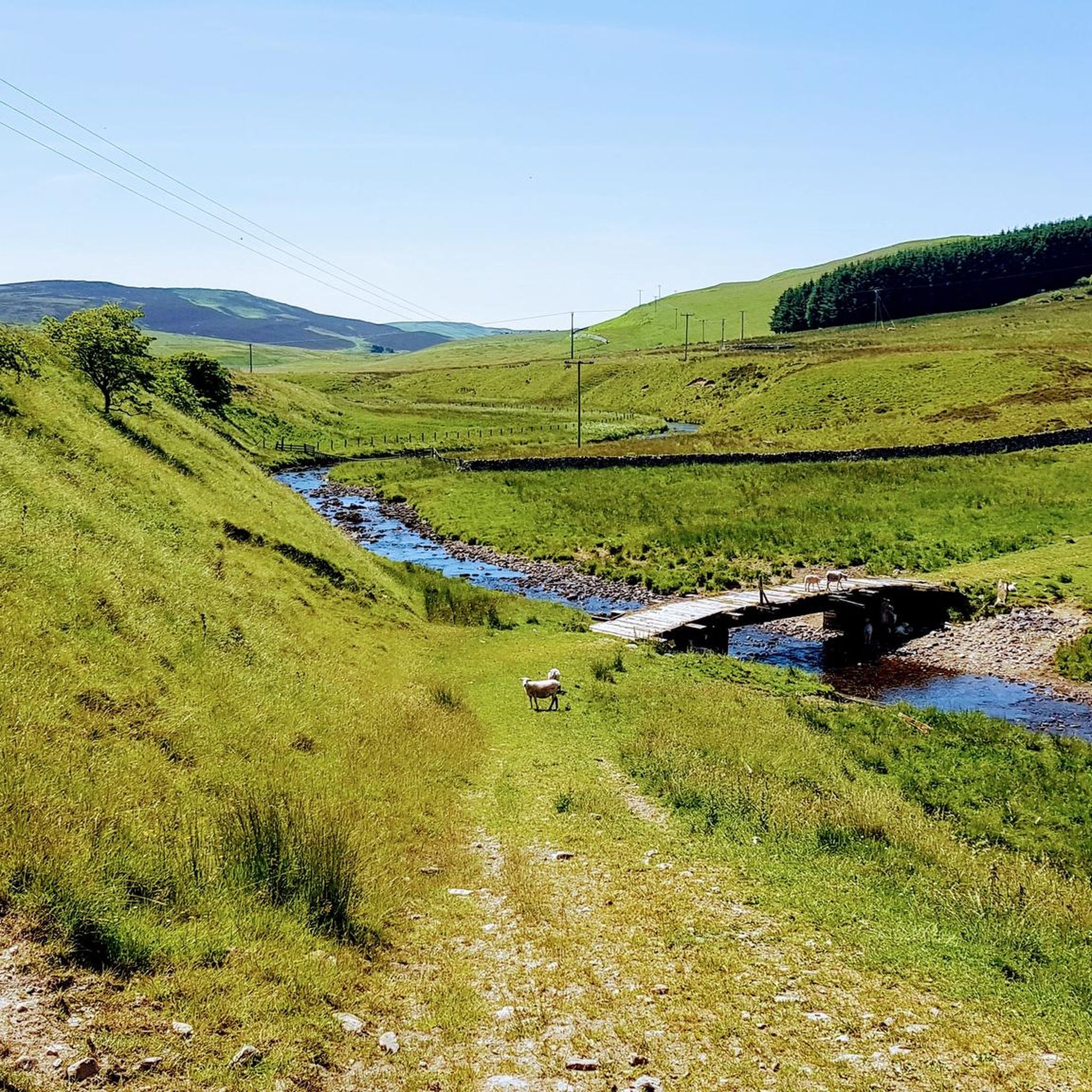
Hiking around Lilliesleaf, Ashkirk And Midlem
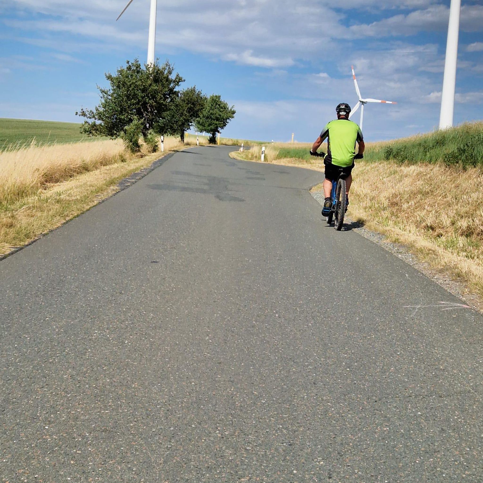
Road Cycling Routes around Lilliesleaf, Ashkirk And Midlem
Gravel biking around Lilliesleaf, Ashkirk And Midlem
Other adventures around Lilliesleaf, Ashkirk And Midlem

Tips from the Community


Eildon Hill North is an historic, photogenic and widely visible landmark in the Scottish Borders. At 1325 feet (404 m) this peak is the second highest of the three Eildon (pronounced ‘Eeldon’) Hills located just south of Melrose. The significance of Eildon Hill North was recognised by Bronze Age and Iron Age peoples and by the Romans. This peak was the site of the largest Iron Age hill fort in Scotland. Up to 2000 people are thought to have lived here at the same time. Today the pockmarks from hundreds of roundhouse platforms and nearly 1-mile of defences are still visible. When the Romans came in about 80 AD they built their mighty garrison fort called ‘Trimontium’ (named after the three Eildon peaks) immediately below Eildon Hill North and also placed a signal station on this summit. Trimontium was the largest Roman settlement north of Hadrian’s Wall. The short but steep climb up Eildon Hill North is well worth the effort! On a clear day you will be rewarded with stunning views. The popular St Cuthbert’s Way that runs from Melrose Abbey to Holy Island in Northumberland climbs over the col in the Eildon Hills and provides a pleasant way up Eildon Hill North.
2
0

This 25m tall observation tower was built in 1885 on a medieval motte and bailey for Major-General John Sprot. Eighty metres south of the Tower, there is also a small mortuary chapel, although it is locked by an iron railed enclosure. If you are at the right time of the year here, you might get a deluge of snowdrops.
1
0
Thief Road was named after the Moss Troopers, lawless brigands who used to attack innocent civilians here. This stretch is on the Borders Abbeys Way long-distance trail. It can be overgrown in places (but nothing too impossible). Before the route descends to the Woll Golf Course in the valley, there are fabulous views from above, also overlooking Woll Burn.
1
0

Lindean Loch is a beautiful small loch that is now part of a nature reserve. It’s a lovely little spot for a wild swim and is situated next to a small car park.
1
0

The central and highest of the Eildon Hills Eildon Mid Hill stands at 422m and offers the best views. Look northeast to the Iron Age hill fort ramparts on the north hill, south over the smaller Wester Hill and north over Melrose. The three hills are a great run from Melrose, steep and punchy but not actually that high or far so perfect for a half day or pre/post work run. Great views and some good vert for the distance.
0
0
Frequently Asked Questions
How many running routes are available in the Lilliesleaf, Ashkirk, and Midlem area?
There are over 230 running routes around Lilliesleaf, Ashkirk, and Midlem, offering a wide variety of options for all skill levels. The komoot community has highly rated these routes, with an average score of 4.8 stars.
Are there running routes suitable for beginners or those looking for an easy jog?
Yes, the region offers 19 easy running routes. For a relatively flat run through the local countryside, consider the Sprot Tower – Jammy Coo Café loop from Lilliesleaf, which is a moderate 3.4 miles (5.4 km) path.
What kind of terrain can I expect on the running trails in this area?
The terrain is characterized by classic Scottish Borders scenery, featuring rolling hills, expansive open moorland, and lush woodlands. You'll find a mix of gentle paths and more challenging ascents, with routes traversing valleys and hills, and passing tranquil lochs.
Are there any long-distance running options or more challenging trails?
Absolutely. For a more challenging experience, the area features 76 difficult routes. A notable option is the Eildon Wester Hill – Eildon Mid Hill Summit loop from Bowden, a 6.7-mile (10.7 km) trail with a significant ascent to the Eildon Mid Hill summit, offering breathtaking panoramic views.
What notable landmarks or natural features can I see while running?
Runners can enjoy a variety of sights. The Eildon Mid Hill Summit offers sumptuous views. You might also encounter tranquil lochs like Alton Loch, Leahead Loch, and Headshaw Loch. Historic sites include the ruins of Lindean Church and the unique French Prisoners' Bush. The area also boasts nature reserves like Hare Moss and Dunhog Moss.
Are there any circular running routes in the area?
Yes, many routes are circular. For example, the Woll Burn loop from Ashkirk is a moderate 5.7 km (3.5 miles) circular route. Another option is the Lindean Hill – Lindean Loch loop from Lindean Loch car park, a 9.9 km (6.2 miles) moderate trail.
Can I find running routes that pass by cafes or pubs?
Yes, some routes offer convenient access to local amenities. The Sprot Tower – Jammy Coo Café loop from Lilliesleaf, for instance, starts and ends near the Jammy Coo Café. Lilliesleaf village itself has a local cafe and pubs, making it a good starting point for runs followed by refreshments.
What do other runners enjoy most about jogging in Lilliesleaf, Ashkirk, and Midlem?
The area is highly rated by the komoot community, with an average score of 4.8 stars from over 12 reviews. Runners often praise the diverse landscape, from rolling hills and open moorland to tranquil lochs, and the variety of routes catering to different abilities. The scenic views, especially towards the Eildon and Cheviot Hills, are frequently highlighted.
Are there any specific viewpoints along the running trails?
Many trails offer excellent viewpoints. The Eildon Mid Hill Summit provides sumptuous panoramic views of the surrounding countryside. Big Wood offers spectacular views towards Selkirk, particularly vibrant in autumn. Midlem village, being on an elevated position, also provides extensive views to the east and south, encompassing farmland, woodland, Ruberslaw, the Minto Hills, and the Cheviot Hills.
Is there parking available near the trailheads?
Yes, parking is available at various points. For example, Dunhog Moss Nature Reserve, which features accessible paths, is conveniently located next to the A7 with a dedicated car parking area. Many routes also start from villages like Lilliesleaf or Bowden, where parking can often be found.
What is the best time of year for running in the Scottish Borders around Lilliesleaf?
The Scottish Borders offer beautiful running conditions throughout much of the year. Autumn is particularly spectacular, with Big Wood providing 'colours gallore'. Spring and summer offer pleasant temperatures and longer daylight hours. Even winter can be rewarding, though conditions may be more challenging on higher ground.
Are there any family-friendly running routes?
While specific 'family-friendly' routes aren't explicitly detailed, the 19 easy routes in the area would generally be suitable for families looking for a gentle jog or walk. The accessible paths at Hare Moss Nature Reserve are also a good option for a relaxed outing.
Most popular routes around Lilliesleaf, Ashkirk And Midlem
Most popular attractions around Lilliesleaf, Ashkirk And Midlem

Get inspired with the komoot mobile app


Explore more
Browse the best Running Trails & Routes in other regions.
