The best walks and hikes around Hunterhill
4.4
(210)
4,798
hikers
268
hikes
Hiking around Hunterhill offers a network of trails primarily characterized by gentle terrain and urban green spaces. The region features accessible paths suitable for various activity levels, often incorporating historical landmarks and local points of interest. Elevation gains are generally low, making many routes suitable for casual walks.
Best hiking trails around Hunterhill
- The most popular hiking route is Saucel Hill Trig Point – Paisley Abbey loop from Paisley Canal, a 3.2 miles (5.2 km) trail that takes 1…
Last updated: July 5, 2026
5.0
(1)
7
hikers
9.18km
02:22
50m
50m
Moderate hike. Good fitness required. Easily-accessible paths. Suitable for all skill levels.
10
hikers
5.15km
01:19
20m
20m
Easy hike. Great for any fitness level. Easily-accessible paths. Suitable for all skill levels.

Sign up for free
9
hikers
5.11km
01:19
20m
20m
Easy hike. Great for any fitness level. Easily-accessible paths. Suitable for all skill levels.
8
hikers
6.68km
01:44
40m
40m
Easy hike. Great for any fitness level. Easily-accessible paths. Suitable for all skill levels.
7
hikers
9.04km
02:22
70m
70m
Moderate hike. Good fitness required. Easily-accessible paths. Suitable for all skill levels.
Get access to more routes and recommendations from other explorers.
Sign up for free
Already have an account?
Our route recommendations are based on thousands of hikes, rides, and runs completed by other people on komoot.
Start today with a free account
Your next adventure awaits.
Login or Signup

Tips from the Community

Local leisure facility with large leisure pool, teaching pool, gym, dance studio, spin studio, sports hall, and events hall.
0
0

Beautiful street art in the town of Paisley. Worth stopping to appreciate the skill.
0
0

Nice path running between Paisley and Crookston/Ross Hall. Recently resurfaced it’s super smooth, winding alongside the river. Part of Sustrans route 7 & 75.
1
0


The trig point on Saucel Hill offers an incredible view of Paisley, including the town centre with Paisley Abbey and Town hall easily recognised. To the South the Gleniffer Braes can be seen and to the North, the view includes Glasgow Airport and the Kilpatrick Hills. A perfect place to catch a stunning sunset.
0
0

blink and you'll miss the gate (I did the first time and only realised it was there when I was exiting!!) It's just before the lay-by and saves you trying to hop over the fence!
0
0

A medieval abbey with beautiful architecture through out. The abbey also has a tower that you can climb. The stairs are spiral and incredibly narrow but the view is great and worth the climb.
0
0
Frequently Asked Questions
How many hiking trails are available around Hunterhill?
Hunterhill offers a wide selection of hiking trails, with over 260 routes available. The majority are easy (around 160), but there are also about 80 moderate and 10 difficult trails to explore.
Are there easy and family-friendly hiking options in Hunterhill?
Yes, Hunterhill is well-suited for easy and family-friendly hikes, with over 160 routes classified as easy. Many of these paths feature gentle terrain and urban green spaces, making them accessible for various activity levels. A good example is the Paisley Abbey loop from Paisley Gilmour Street, which is an easy 3.2-mile (5.1 km) path exploring historical areas.
What kind of terrain can I expect on Hunterhill hiking trails?
Hiking around Hunterhill is characterized by gentle hills, urban green spaces, and historical landmarks. Elevation gains are generally low, making many routes suitable for casual walks. You'll find a mix of paved paths, riverside trails, and parkland routes.
Are there any circular walks available in Hunterhill?
Yes, many routes in Hunterhill are designed as circular walks, allowing you to start and end at the same point. For instance, the Saucel Hill Trig Point – Paisley Abbey loop from Paisley Canal is a popular circular trail combining a gentle hill ascent with historical sights.
What are some notable natural attractions or landmarks to see while hiking?
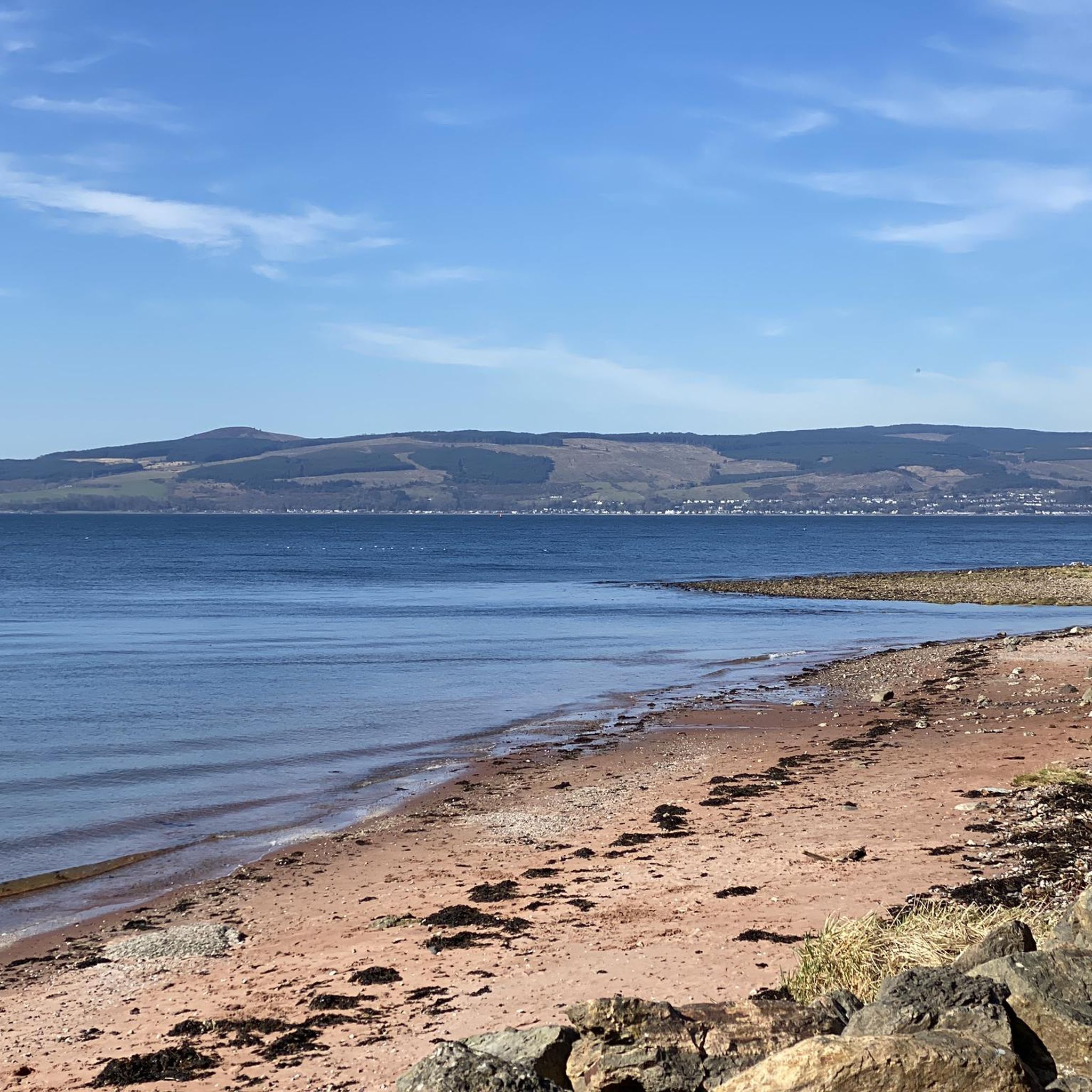
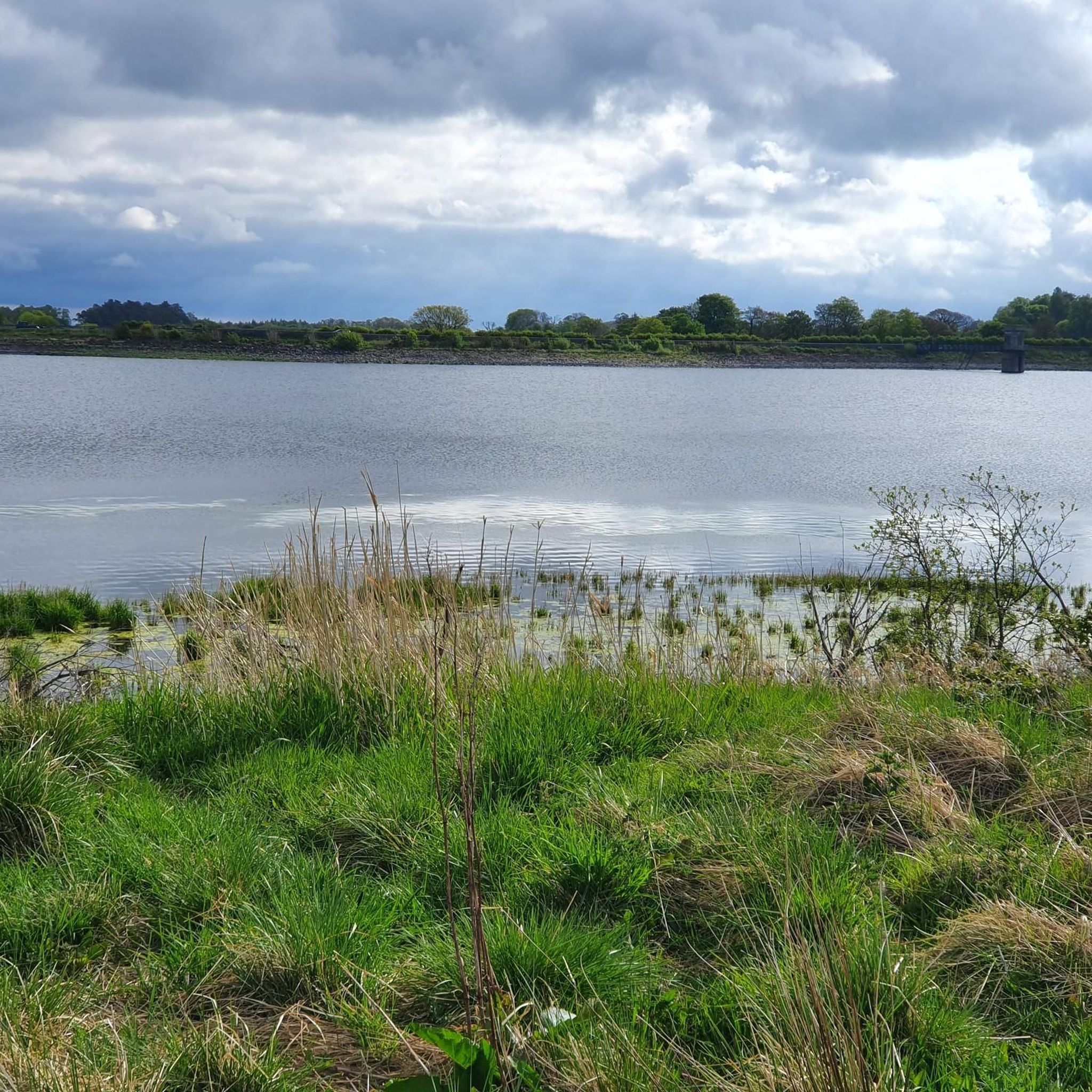
Hunterhill's trails often lead to interesting natural and historical landmarks. You can find viewpoints like the Saucel Hill Trig Point, or explore natural monuments such as the Craigie Linn Waterfall and Linn Park Waterfall. There are also several lakes and reservoirs nearby, including Balgray Reservoir.
What do other hikers enjoy most about the trails in Hunterhill?
The trails in Hunterhill are highly rated by the komoot community, with an average score of 4.4 stars from over 180 reviews. Hikers often praise the accessibility of the paths, the blend of urban and natural scenery, and the historical points of interest along the routes.
Are there any dog-friendly walking routes in Hunterhill?
Many of the trails in Hunterhill are suitable for walking with dogs, especially those through urban green spaces and parks. It's always recommended to keep dogs on a leash and check local regulations for specific areas, particularly around nature reserves or livestock.
How long do hikes typically take in Hunterhill?
Hike durations in Hunterhill vary, but many popular routes are designed for shorter excursions. For example, the Saucel Hill Trig Point – Paisley Abbey loop from Paisley Canal takes about 1 hour 19 minutes, while the Abbey Mill loop from Paisley is typically completed in about 1 hour 42 minutes.
Can I reach Hunterhill hiking trailheads using public transport?
Yes, many of Hunterhill's trails are accessible via public transport, especially those starting from Paisley. Routes like the Paisley Abbey loop from Paisley Gilmour Street begin near major transport hubs, making them convenient for those relying on buses or trains.
Are there any trails that offer good viewpoints?
Yes, several trails provide excellent viewpoints. The Saucel Hill Trig Point loop from Paisley Canal, for instance, includes the Saucel Hill Trig Point, which offers panoramic views of the surrounding area.
What is the best season for hiking in Hunterhill?
Hunterhill's trails are generally enjoyable year-round due to the gentle terrain and urban accessibility. Spring and autumn offer pleasant temperatures and vibrant scenery, while summer is ideal for longer days. Even in winter, many paths remain accessible for a refreshing walk, though conditions can be damp.
Most popular attractions around Hunterhill

Get inspired with the komoot mobile app


Explore more
Browse the best Hikes in other regions.
