The best mountain hikes around Mount Blair
4.0
(2)
15
hikers
4
hikes
Mountaineering around Mount Blair offers challenging routes through the Scottish Highlands, characterized by prominent summits and deep glens. The region features a mix of open moorland, rugged peaks, and serene lochs, providing diverse terrain for ascents and traverses. Elevations in the area present significant climbs, with routes often leading to panoramic views from high points. The landscape is shaped by ancient geological processes, resulting in a dramatic and varied environment for mountaineering.
Best mountaineering routes around Mount Blair
- The most…
Last updated: June 24, 2026
8
hikers
25.7km
08:14
1,000m
1,000m
Hard mountaineering route. Very good fitness required. Easily-accessible paths. Suitable for all skill levels.
5.0
(1)
2
hikers
12.9km
03:37
240m
240m
Moderate mountaineering route. Good fitness required. Mostly accessible paths. Sure-footedness required.

Sign up for free
3.0
(1)
3
hikers
10.4km
04:04
660m
660m
Moderate mountaineering route. Good fitness required. Mostly accessible paths. Sure-footedness required.
2
hikers
Moderate mountaineering route. Good fitness required. Easily-accessible paths. Suitable for all skill levels.
Our route recommendations are based on thousands of hikes, rides, and runs completed by other people on komoot.
Start today with a free account
Your next adventure awaits.
Login or Signup
Popular around Mount Blair
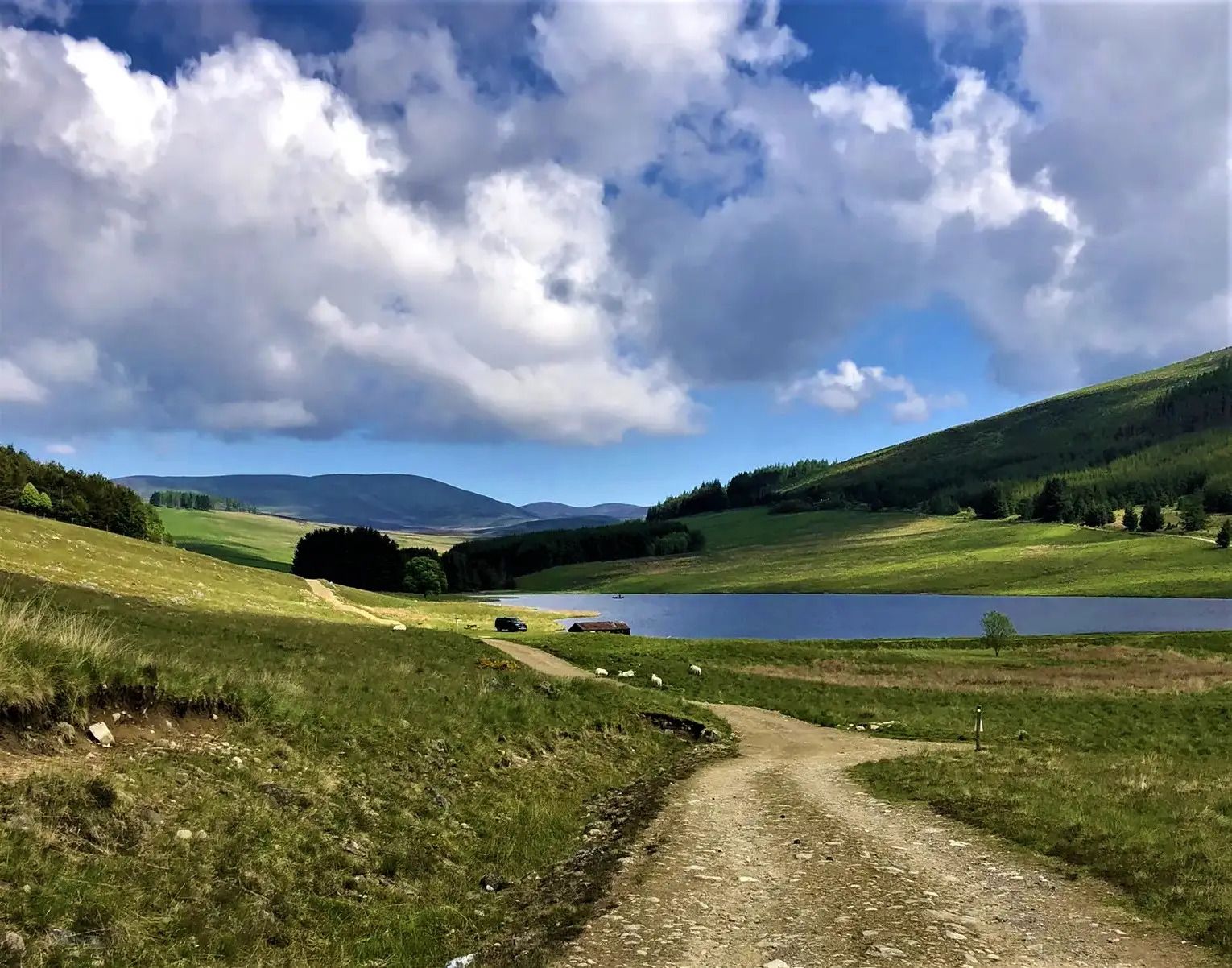
Cateran Trail — Hike old thieves' roads in a forgotten part of Scotland
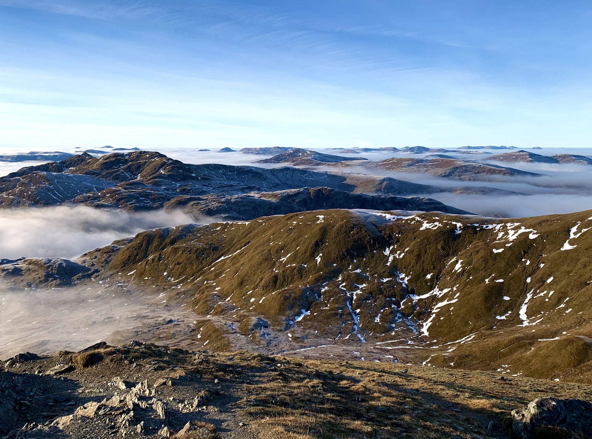
Hiking in Highland Perthshire – accessible giants and lovely glens
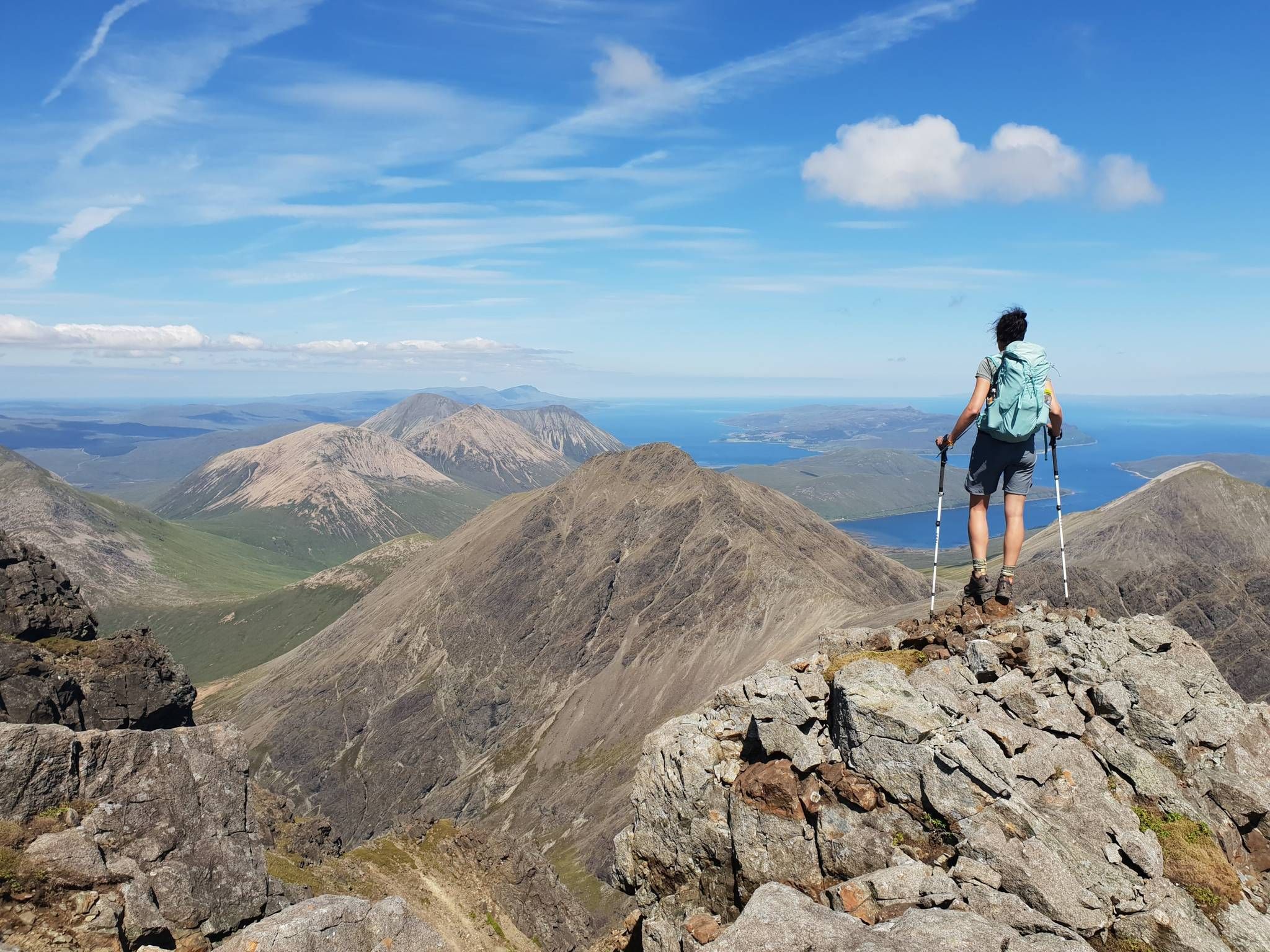
Hiking the 282 munro mountains of Scotland in 95 routes
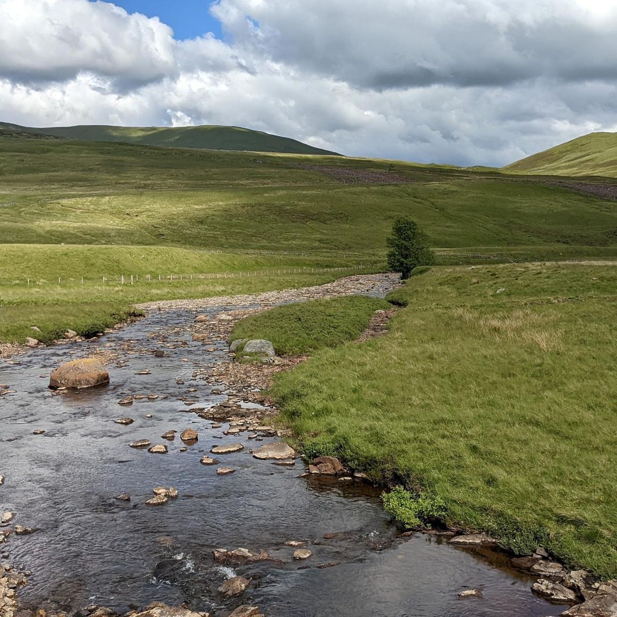
Hiking around Mount Blair
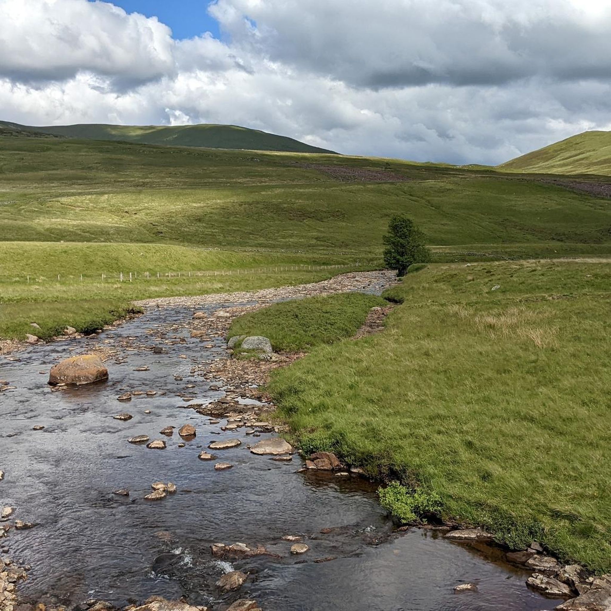
Running Trails around Mount Blair
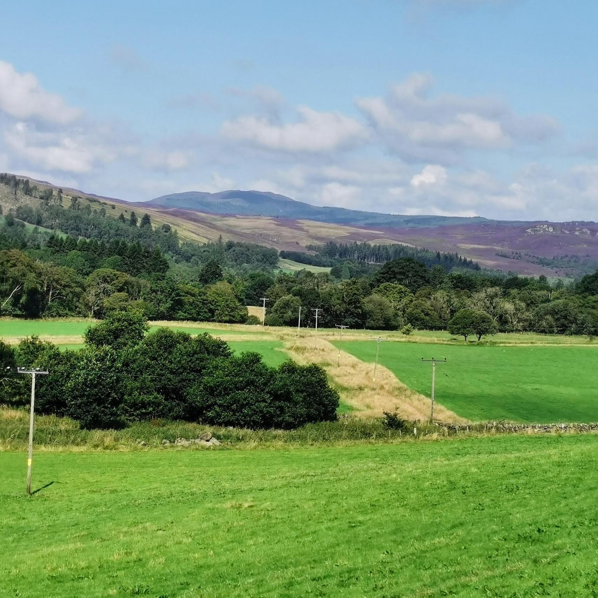
Road Cycling Routes around Mount Blair
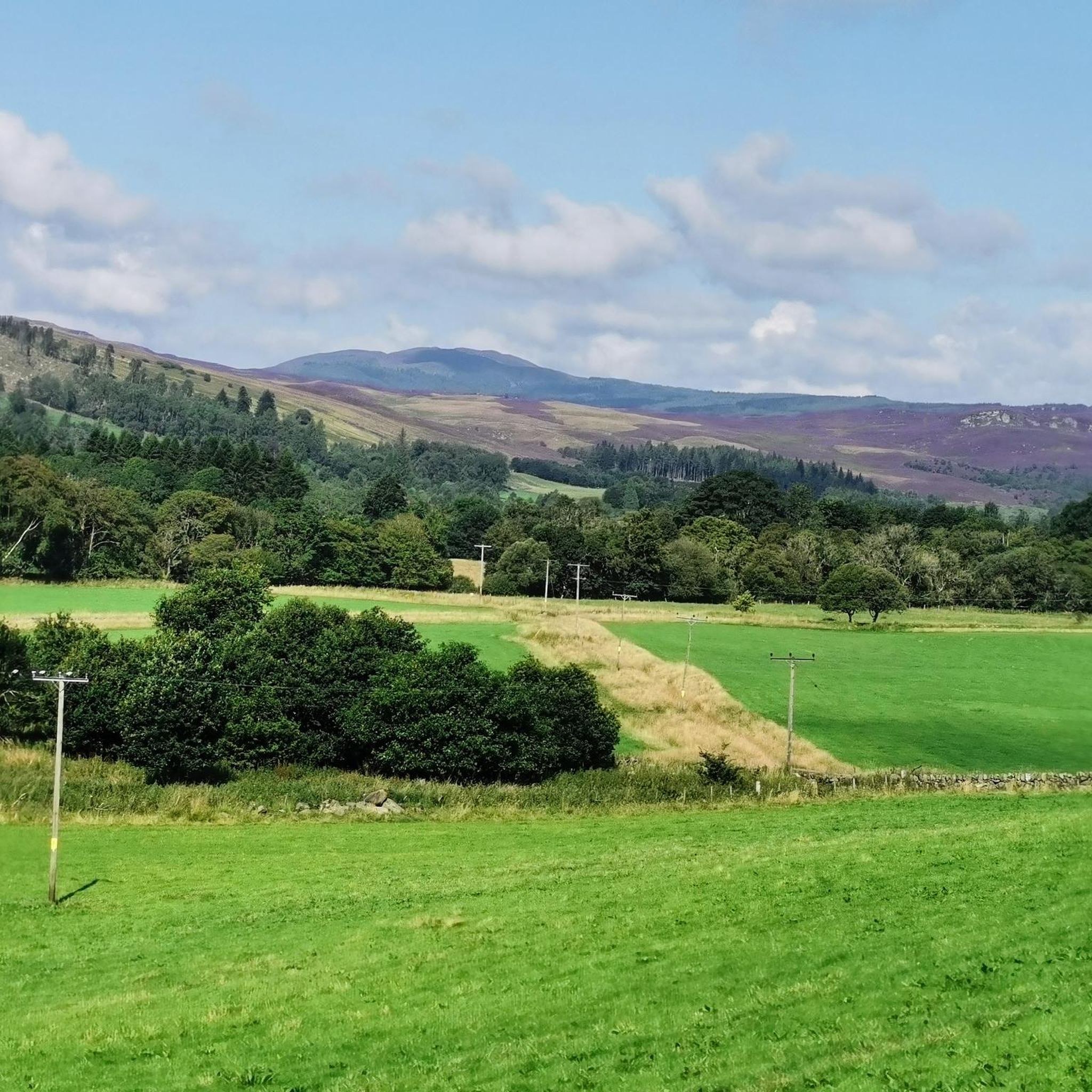
MTB Trails around Mount Blair
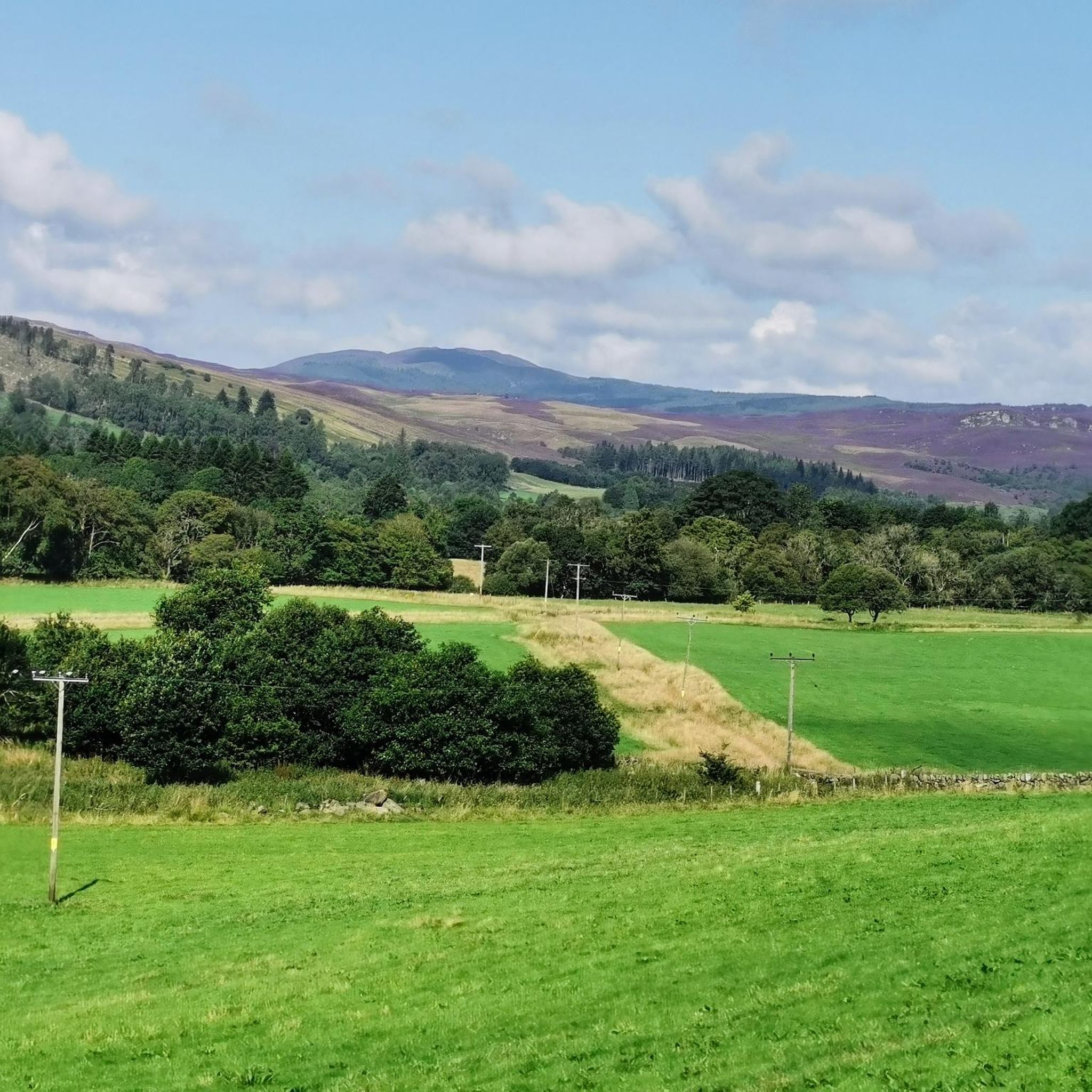
Cycling around Mount Blair
Gravel biking around Mount Blair
Other adventures around Mount Blair


Tips from the Community

In April, beautifully planted with colorful flowers and a great cherry tree in full bloom😍
0
0


2 or 3 river crossings. Your potentially getting wet. There is a high level bypass which is not a great cycle and boggy, stagnant and rocky in parts.
0
0

Not as steep/ boggy as I expected, and the river crossings had good stepping stones (although caveat it’s been a dry summer generally although torrential last few days).
0
0
No ski scarring so I actually think this is an under rated Glenshee munro.
0
0

Did a hike today and the bridge was open again - we walked across to the other side
1
0

Pay for parking by cash or card at the hotel reception desk
0
0
Frequently Asked Questions
What is the general difficulty level of mountaineering routes around Mount Blair?
Mount Blair offers a balanced mix of challenges. You'll find 4 moderate routes, suitable for those with some experience, and 4 difficult routes for seasoned mountaineers seeking more demanding ascents and longer traverses. Routes often involve significant elevation gain and varied terrain.
Are there any circular mountaineering routes in the Mount Blair area?
Yes, many of the mountaineering routes around Mount Blair are circular, allowing you to start and finish at the same point. For example, the The Cuilc – Loch a Choire loop from Pitlochry and the Carn Liath Summit – Càrn nan Gabhar Summit loop from Loch Moraig are both challenging circular options.
What kind of wildlife might I encounter on the trails around Mount Blair?
The Scottish Highlands around Mount Blair are home to diverse wildlife. Keep an eye out for red deer, mountain hares, and various bird species, including birds of prey like golden eagles or buzzards. The open moorland and remote glens provide excellent habitats for these animals.
What are some notable viewpoints or landmarks to see while mountaineering in this region?
The Mount Blair region is rich with stunning viewpoints and natural landmarks. You can reach summits like Ben Vrackie summit, Cairnwell Summit, or Glas Maol summit for expansive panoramic views. The Carn Liath mountain pass also offers impressive scenery.
Are there any family-friendly walking options near Mount Blair, even if not full mountaineering?
While the core mountaineering routes are generally challenging, the wider Mount Blair area offers gentler walks suitable for families. Look for paths around the lower glens or lochs, which provide beautiful scenery without the strenuous climbs of the higher peaks. These often feature well-maintained trails and less elevation.
Can I bring my dog on the mountaineering trails around Mount Blair?
Many trails in the Scottish Highlands are dog-friendly, but it's crucial to keep dogs under close control, especially during lambing season (spring) or near livestock. Always follow the Scottish Outdoor Access Code. Be aware that some routes may involve rough terrain or stream crossings that could be challenging for pets.
What is the best season for mountaineering around Mount Blair?
The late spring to early autumn (May to October) generally offers the most favorable conditions for mountaineering, with longer daylight hours and milder weather. However, the Scottish weather can be unpredictable, so be prepared for all conditions regardless of the season. Winter mountaineering requires specialized skills and equipment due to snow and ice.
How long do the mountaineering routes typically take to complete?
The duration varies significantly based on the route's length and difficulty. For instance, a moderate route like Carn an Tuirc – Cairn of Claise loop from Sròn na Gaoithe can take around 4 hours 25 minutes, while a more demanding one such as Dalmunzie Castle Hotel – Loch nan Eun loop from Dalmunzie Hotel Hillwalkers Car Park might require over 8 hours.
What do other mountaineers say about the routes in Mount Blair?
The mountaineering routes in Mount Blair are highly regarded by the komoot community, with an average rating of 4.6 stars from over 20 reviews. Users frequently praise the challenging ascents, the remote feel of the Scottish Highlands, and the rewarding panoramic views from the summits.
Are there options for public transport to access trailheads near Mount Blair?
Public transport options to specific trailheads in the remote Mount Blair area can be limited. While larger towns like Pitlochry may have bus or train services, reaching the starting points for many mountaineering routes often requires a car. It's advisable to check local bus schedules for the specific area you plan to visit.
Where can I find parking for the mountaineering routes?
Parking availability varies by trailhead. Many routes start from small car parks or designated lay-bys. For example, the Dalmunzie Castle Hotel – Loch nan Eun loop starts from the Dalmunzie Hotel Hillwalkers Car Park. Always park responsibly and considerately, especially in rural areas.
Are there any moderate mountaineering routes suitable for those new to the sport?
Yes, Mount Blair offers several moderate routes that are a great introduction to mountaineering. The Carn an Tuirc – Cairn of Claise loop from Sròn na Gaoithe is a moderate 12.8 km trail, and the River Garry Footbridge – View of Loch Faskally loop from Pitlochry is another moderate option, offering a less strenuous experience with beautiful views.
Most popular attractions around Mount Blair

Get inspired with the komoot mobile app


Explore more
Browse the best Mountain Hikes & Routes in other regions.
