The best road cycling routes around Luncarty, Redgorton, And Moneydie
4.6
(72)
3,767
riders
223
rides
Road cycling routes around Luncarty, Redgorton, And Moneydie traverse a landscape characterized by tranquil rural settings, agricultural lands, and extensive woodlands. The region is situated on the banks of the River Tay, with the River Almond also flowing through, providing scenic waterside paths. Cyclists encounter a mix of quiet country roads and dedicated cycle paths, with routes often starting from Perth's North Inch before heading into the surrounding villages. The terrain includes gentle gradients along riverbanks and more challenging sections…
Last updated: July 8, 2026
59
riders
44.0km
02:07
370m
370m
Moderate road ride. Good fitness required. Some segments of this route may be unpaved and difficult to ride.
5.0
(1)
50
riders
96.4km
04:27
940m
940m
Hard road ride. Very good fitness required. Some segments of this route may be unpaved and difficult to ride.

Sign up for free
47
riders
58.9km
02:33
410m
410m
Moderate road ride. Good fitness required. Mostly well-paved surfaces and easy to ride.
5.0
(1)
41
riders
Moderate road ride. Good fitness required. Mostly well-paved surfaces and easy to ride.
24
riders
Moderate road ride. Good fitness required. Mostly well-paved surfaces and easy to ride.
Get access to more routes and recommendations from other explorers.
Sign up for free
Already have an account?
Our route recommendations are based on thousands of hikes, rides, and runs completed by other people on komoot.
Start today with a free account
Your next adventure awaits.
Login or Signup
Popular around Luncarty, Redgorton, And Moneydie
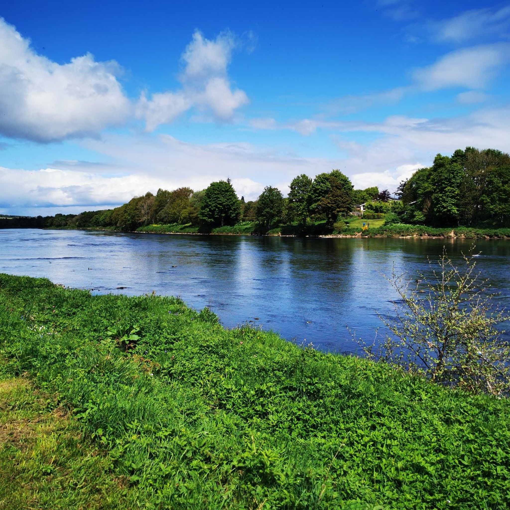
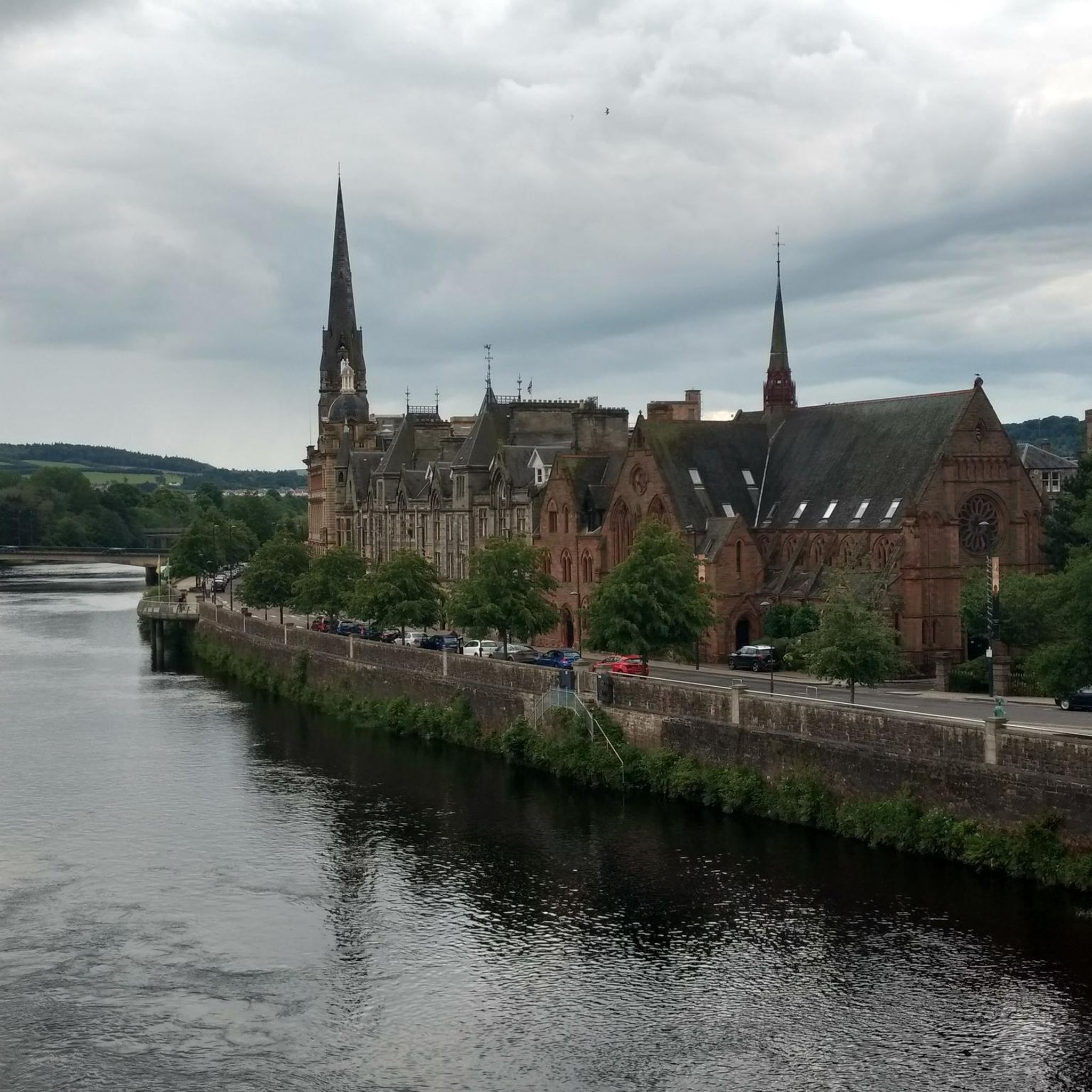
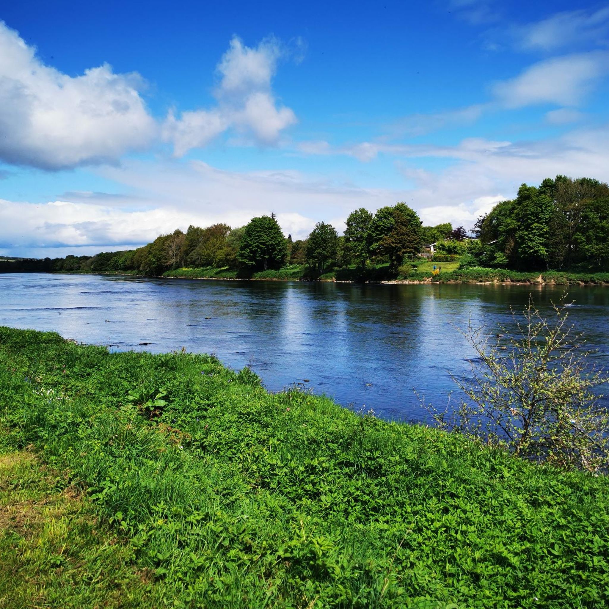
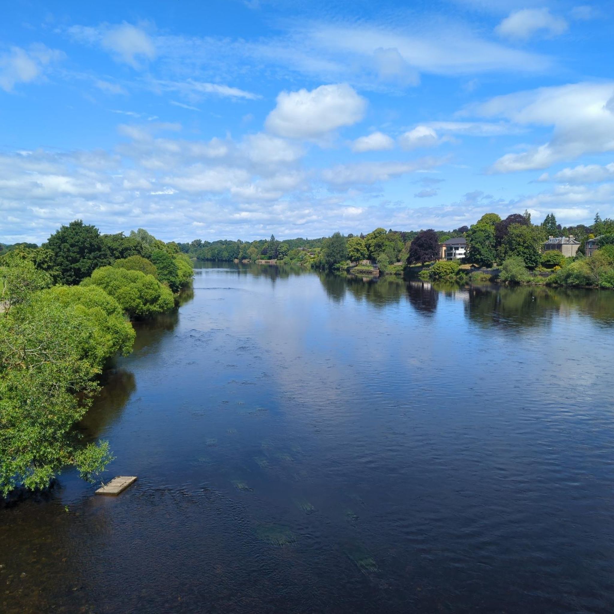
Tips from the Community

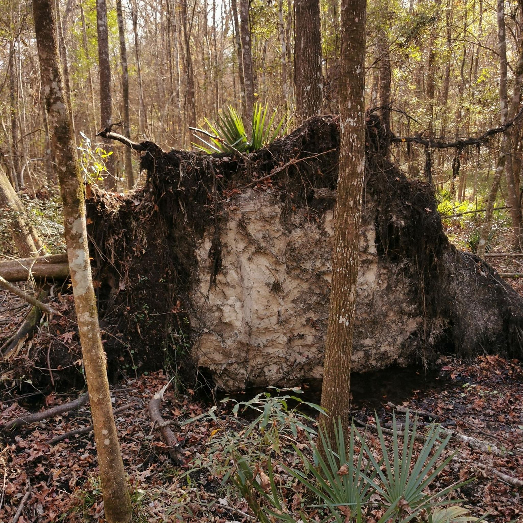
Cathedral is nice but the huge old trees are spectacular
0
0

We have noticed that this has moved. what3words address to help you find this specific location. ///narrates.retaliate.normal https://w3w.co/narrates.retaliate.normal
0
0


Great wee village/town packed full of good places to eat & drink and interesting independent shops.
0
0

Climbing steady up from Aberfeldy (there are various opportunities for gravel/mtb rides left and right!), the road eventually evens out after griffin forest. Then, undulating to either east and Dunkeld or west, sma'glen and Crieff.
0
0

On a practical note, it's one of the few bridges over the river in this area so it's likely a waypoint. That said, it's worth a pause to look upstream and downstream and take the obligatory photo. If you're naughty, there's a jail built into the bridge underneath.
0
0
Frequently Asked Questions
What kind of terrain and difficulty can I expect on road cycling routes in Luncarty, Redgorton, and Moneydie?
The region offers a diverse range of road cycling experiences. You'll find a mix of tranquil rural roads, dedicated cycle paths, and routes along the River Tay and River Almond. Terrain varies from gentle gradients along riverbanks to more challenging sections with significant elevation gain as you venture into the countryside. Overall, there are 43 easy routes, 153 moderate routes, and 31 difficult routes available.
Are there easy road cycling routes suitable for beginners or families in the Luncarty area?
Yes, the area is well-suited for beginners and families, with 43 easy routes available. Many routes utilize cycle paths along the River Tay and River Almond, providing pleasant and often flat sections. The "Luncarty Loop" is specifically noted as an easy ride on quiet rural roads, offering views over fields. For a moderate option that is still accessible, consider the View of the River Almond – Banks of the River Almond loop from SSE Plc, which is just under 10 miles long with minimal elevation.
Are there challenging road cycling routes for experienced cyclists in the region?
Absolutely. For experienced cyclists seeking a challenge, there are 31 difficult routes with substantial elevation gain. A notable option is the Dunkeld Cathedral – Dunkeld Town Centre loop from Redgorton, which is a difficult 60.3-mile path featuring significant ascents and connecting Redgorton to Dunkeld.
What natural features and landmarks can I see along the road cycling routes?
The routes offer picturesque scenery, including the banks of the River Tay and River Almond, extensive woodlands like Luncarty Woods, and rich agricultural lands. You can also find several viewpoints and historical sites nearby. Consider exploring Moncreiffe Hillfort Viewpoint for panoramic views, or the historical Moredun Top Hillfort. The View from Kinnoull Hill also offers stunning vistas.
Where can I find parking for road cycling routes in Luncarty, Redgorton, and Moneydie?
Many routes often start from Perth's North Inch Park, which is a common and convenient starting point for cyclists heading into Luncarty and the surrounding villages. Parking facilities are generally available in and around Perth, as well as in the villages themselves, though specific parking details may vary by starting point.
What is the best time of year for road biking in Luncarty, Redgorton, and Moneydie?
The region is generally pleasant for cycling from spring through autumn. While specific conditions can vary, the milder weather and longer daylight hours during these seasons make for more enjoyable rides. Winter cycling is possible, but routes may be affected by colder temperatures and potentially adverse weather conditions.
Are there any circular road cycling routes in the Moneydie area?
Yes, many routes in the region are designed as loops, allowing you to start and end in the same location. For example, the Little Glenshee Ford Crossing – Pitcairngreen Village Green loop from Luncarty is a moderate 21-mile circular route that takes you through varied landscapes.
What do other road cyclists enjoy the most about road cycling in Luncarty, Redgorton, and Moneydie?
The area is highly rated by the komoot community, with an average score of 4.6 stars from over 60 reviews. Reviewers often praise the tranquil rural settings, the scenic riverside paths along the River Tay and River Almond, and the diverse network of routes that cater to different ability levels. Over 3,800 road cyclists have used komoot to explore this varied terrain.
Are there any routes that pass through charming villages or offer a glimpse of local life?
Yes, routes frequently connect Luncarty with neighboring villages like Pitcairngreen and Almondbank, creating diverse itineraries. The View of the River Almond – Pitcairngreen Village Green loop from SSE Plc is a popular moderate route that features views of the River Almond and passes through rural village settings, allowing you to experience the local charm.
How many road cycling routes are available in Luncarty, Redgorton, and Moneydie?
There are over 220 road cycling routes available in Luncarty, Redgorton, and Moneydie, offering a wide variety of options for cyclists of all skill levels. This includes 43 easy, 153 moderate, and 31 difficult routes.
Can I find routes that offer good viewpoints for scenic photography?
Absolutely. The region is rich in scenic beauty. Beyond the general views of rivers and agricultural lands, you can find specific viewpoints. For instance, King's Seat, Birnam Hill and View of Strath Tay from Summit are excellent spots to capture the expansive Scottish landscape.
Most popular routes around Luncarty, Redgorton, And Moneydie
Most popular attractions around Luncarty, Redgorton, And Moneydie

Get inspired with the komoot mobile app


Explore more
Browse the best Road cycling routes in other regions.
