Killiecrankie, Fincastle And Tummel
Killiecrankie, Fincastle And Tummel
The 13 Most Amazing Peaks around Killiecrankie, Fincastle And Tummel
Best mountain peaks around Killiecrankie, Fincastle And Tummel are located in Perth and Kinross, Scotland, offering a diverse array of mountain peaks. The region's landscape features a mix of hills and glens, providing varied terrain for exploration. This area is known for its natural beauty and opportunities for mountain hiking, with peaks ranging from Corbetts to Munros.
Best mountain peaks around Killiecrankie, Fincastle And Tummel
- The most popular mountain peaks is Ben Vrackie summit, a viewpoint that stands at…
Last updated: May 22, 2026
Ben Vrackie summit
Highlight • Viewpoint
Tip by

Schiehallion summit
Highlight • Summit
Tip by

Sign up now to discover places like this
Get recommendations on the best single tracks, peaks, & plenty of other exciting outdoor places.
Sign up for free
Carn Liath
Highlight • Mountain Pass
Tip by

Summit of Braigh Coire Chruinn-bhalgain
Highlight • Viewpoint
If approaching from Carn Liath, follow the crest of the ridge to the summit and you can't go wrong.
Tip by
Càrn nan Gabhar summit
Highlight • Natural Monument
The mountain is subsiduary summit on the larger and surrounding Beinn a' Ghlò.
A wide range of …
Tip by

Sign up for free to discover even more peaks around Killiecrankie, Fincastle And Tummel.
Sign up for free
Already have an account?
Start today with a free account
Your next adventure awaits.
Login or Signup
Popular around Killiecrankie, Fincastle And Tummel
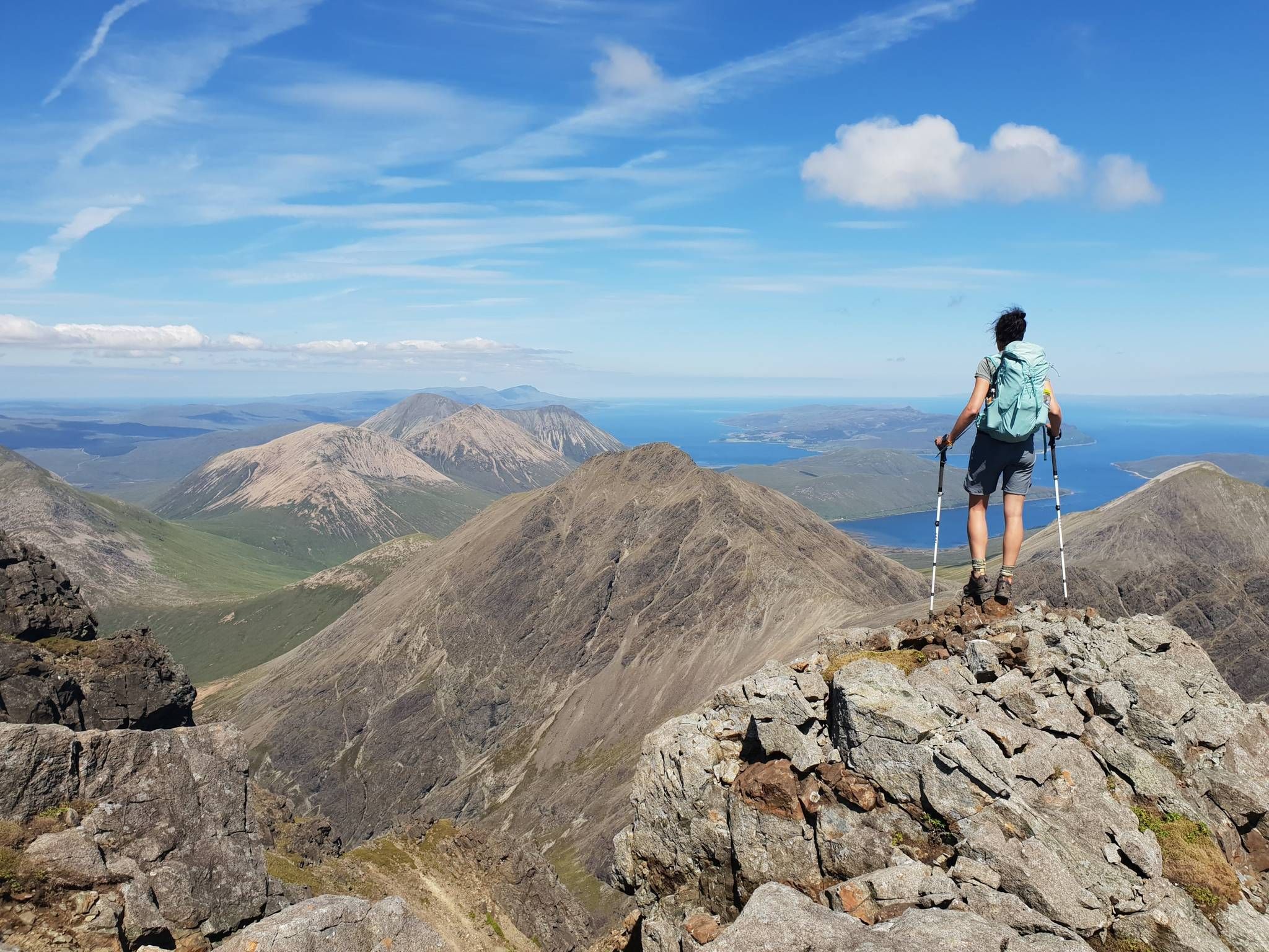
Hiking the 282 munro mountains of Scotland in 95 routes
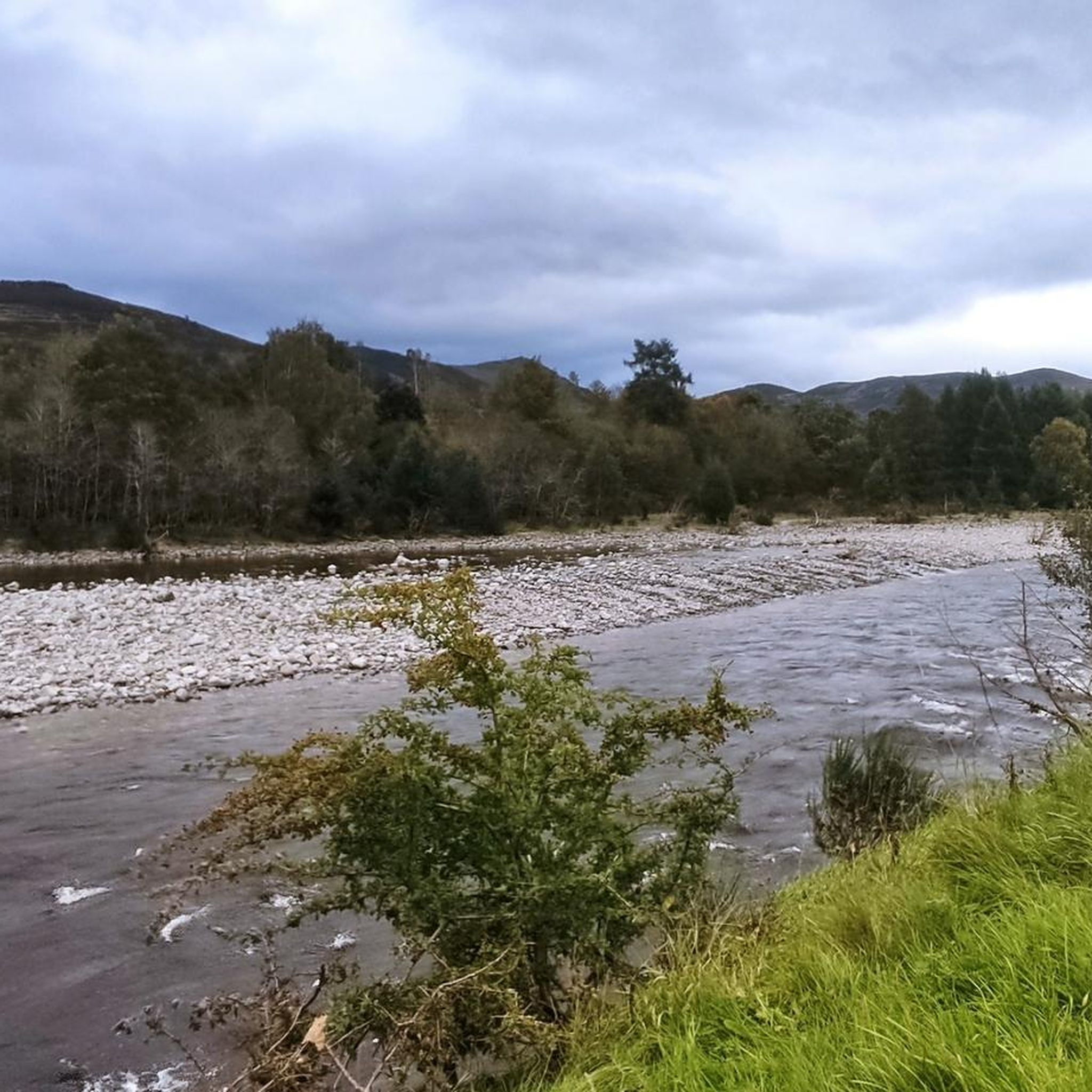
Hiking around Killiecrankie, Fincastle And Tummel
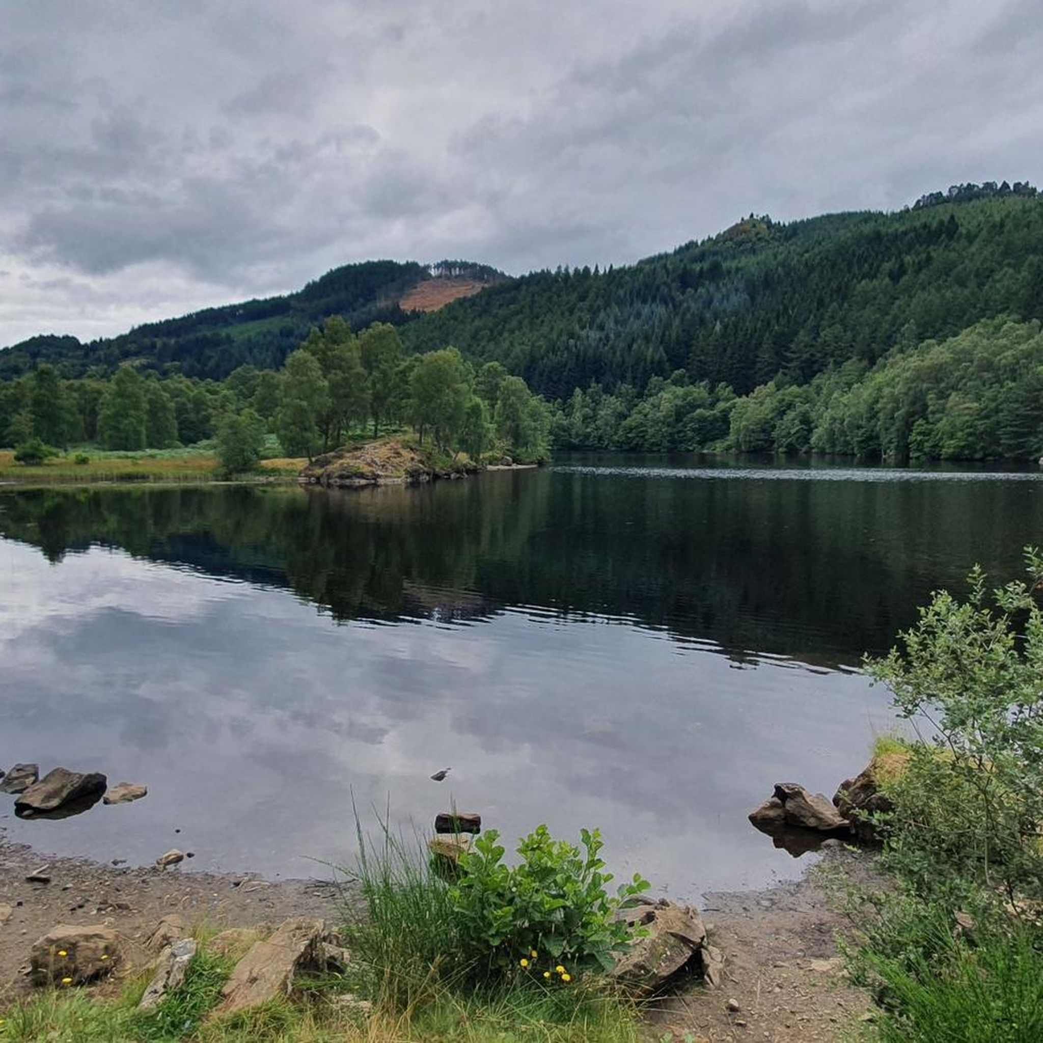
MTB Trails around Killiecrankie, Fincastle And Tummel
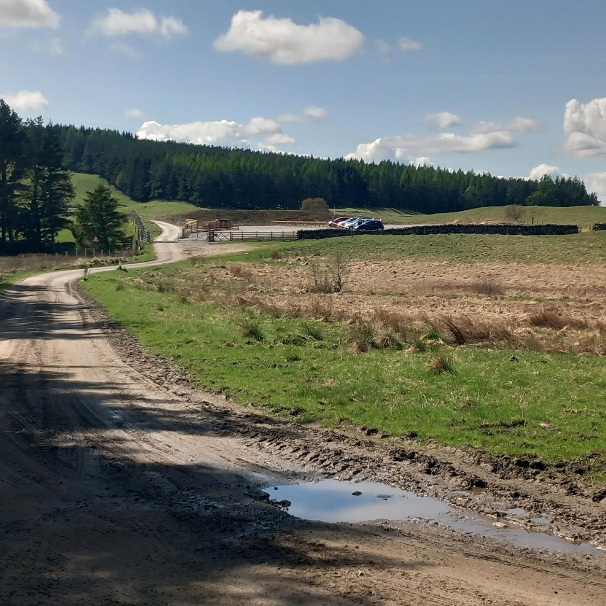
Road Cycling Routes around Killiecrankie, Fincastle And Tummel
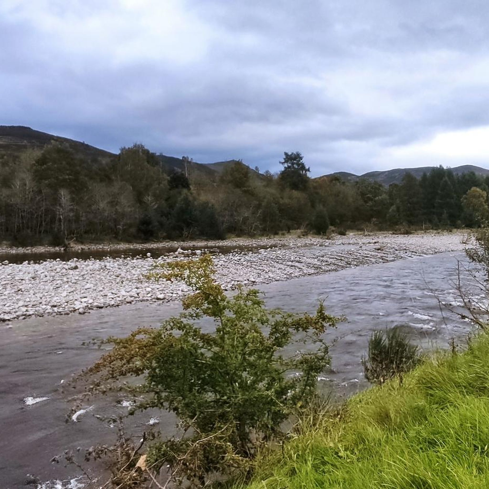
Running Trails around Killiecrankie, Fincastle And Tummel
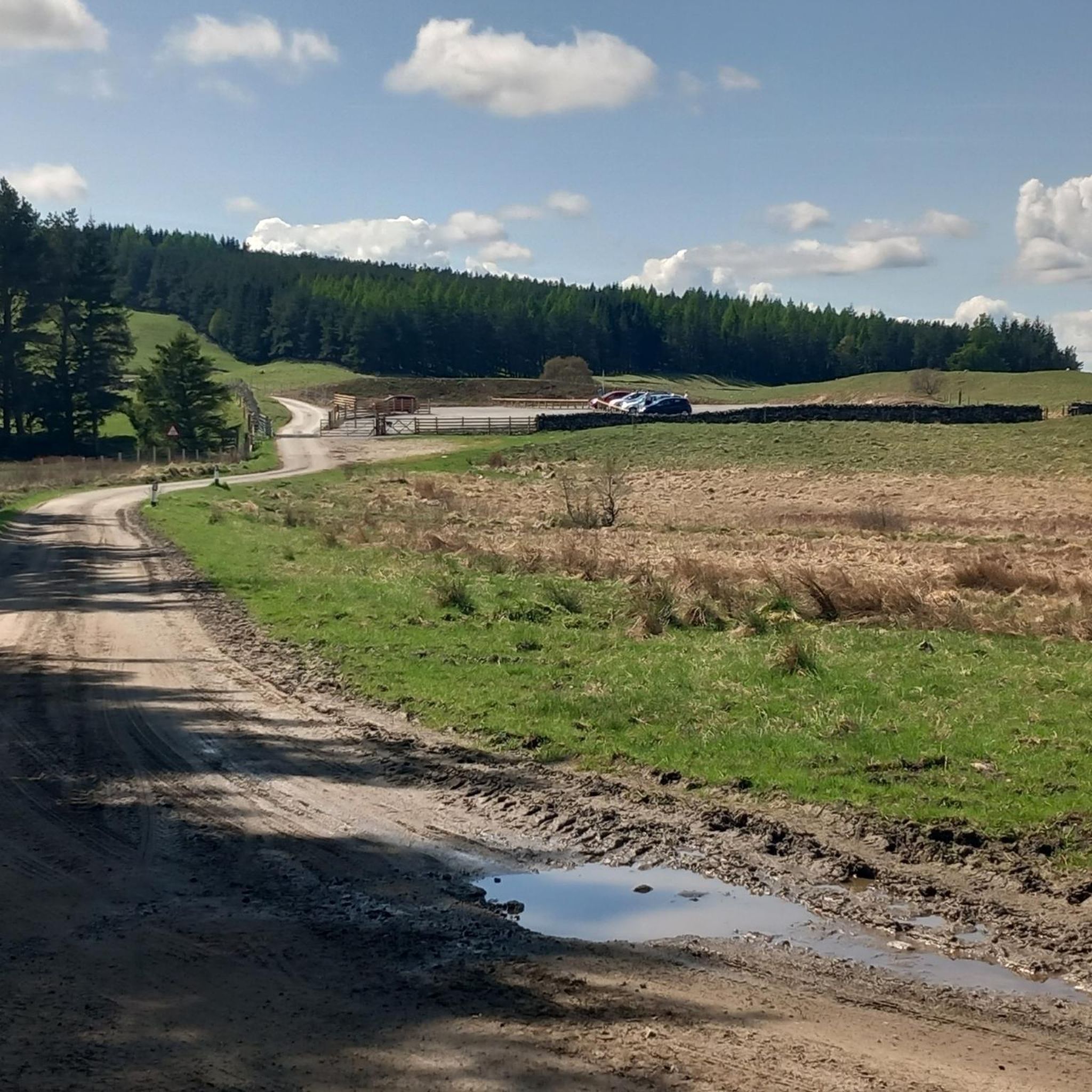
Cycling around Killiecrankie, Fincastle And Tummel

Gravel biking around Killiecrankie, Fincastle And Tummel
Other adventures around Killiecrankie, Fincastle And Tummel

Tips from the Community

Big rounded hill, a wide ridge, with extensive views over Glen Tilt.
0
0
Big rounded hill with extensive views to the pass of Killiecrankie.
0
0
Easy to get to, and the views definitely make the walk worthwhile.
0
0

Carn Liath is a 975m Munro mountain in the Scottish Highlands. It sits to the east of Glen Tilt. We parked at https://www.ny-ezpass.com
0
0

Cracking hill. Just shy of s munro, but worth the ascent.
0
0


Stone tower on the summit of Carn Liath. A wonderful view. Very stormy
1
0
Frequently Asked Questions
Which mountain peaks offer the best panoramic views in the region?
For exceptional panoramic views, consider Ben Vrackie summit, which provides vistas northward into the Cairngorms and westward down Loch Tummel. Schiehallion summit also offers extensive views from its elevated position, especially along its ridge. On a clear day, Càrn Mairg Summit provides a stupendous viewpoint for the Lawers Group.
Are there any Munros in the Killiecrankie, Fincastle, and Tummel area?
Yes, the region is home to several Munros. Notable examples include Schiehallion summit, Càrn Mairg Summit, Braigh Coire Chruinn-bhalgain, and Carn Liath. These peaks offer challenging and rewarding hiking experiences.
What is the most distinctive or historically significant mountain peak to visit?
Schiehallion summit is particularly distinctive, known for its almost perfect pyramid shape from the west and its historical significance. It was famously used in an 18th-century experiment to 'weigh the world' and is sometimes described as the geographical center of Scotland. Local folklore also suggests fairies gather on its slopes.
What are the typical ascent routes and difficulties for the main peaks?
For Ben Vrackie summit, the most common route is from Pitlochry to the south, involving 600-800 meters of ascent. Schiehallion summit is typically ascended from the Braes of Foss car park, a 5km route with approximately 700 meters of ascent, which is well-made for the first two-thirds before becoming a boulder field near the top. Càrn Mairg Summit is often part of a longer loop including four Munros, usually starting from Invervar.
Are there any family-friendly walks or easier mountain hikes in the area?
While many peaks are challenging, the wider Killiecrankie area, part of the Pitlochry Path Network, offers various walks. The Pass of Killiecrankie provides a moderate 2.5-mile (4km) walk with stunning views, which could be suitable for families. For specific mountain hikes, always check the difficulty ratings, but some initial sections of Munros like Schiehallion are well-made before becoming more challenging.
What other outdoor activities can I do near these mountain peaks?
Beyond hiking, the region offers excellent opportunities for cycling and gravel biking. You can explore various routes for cycling or gravel biking, ranging from moderate to difficult, taking you through scenic landscapes and past historical sites like the Pass of Killiecrankie.
What are some of the longer or more challenging mountain routes available?
For a more challenging experience, consider the loop that includes Càrn Mairg Summit and its associated Munros above Glen Lyon. The Beinn a' Ghlo range, which includes Carn Liath and Braigh Coire Chruinn-bhalgain, also offers complex and extensive hillwalking with multiple Munros to bag. You can find detailed mountain hiking routes in the Mountain Hikes guide.
What historical sites or natural landmarks can be found near the mountain peaks?
The Pass of Killiecrankie is a significant historical and scenic spot, known for the Soldier's Leap where a Redcoat soldier famously jumped across the River Garry. This area is part of the Pitlochry Path Network, offering walks with views of woodlands and the River Garry gorge. Many peaks themselves, like Schiehallion summit, hold historical and folkloric significance.
What do visitors particularly enjoy about hiking in this region?
Visitors frequently praise the stunning views, especially from summits like Ben Vrackie summit, which offers vistas of the Cairngorms and Loch Tummel. The sense of achievement from reaching a Munro summit, like Schiehallion summit, and the well-maintained paths on some routes are also highly appreciated.
Are there specific parking areas for accessing the mountain trails?
Yes, for Schiehallion summit, there is a car park at Braes of Foss, which is the common starting point. For Carn Liath, parking is available at the north end of Loch Moraig. When planning your hike, it's always advisable to check specific route details for recommended parking locations.
What is the best time of year to visit for mountain hiking?
While hiking is possible year-round, good weather conditions are crucial, especially for higher peaks. Spring and autumn offer pleasant temperatures and often clearer skies, though conditions can change rapidly. Summer provides longer daylight hours. Winter walks are possible but require appropriate gear and experience due to snow and ice. Always check local weather forecasts before heading out.
What kind of wildlife might I encounter on the mountain trails?
The Scottish Highlands are rich in wildlife. While specific sightings are never guaranteed, you might encounter red deer, various bird species including birds of prey, and smaller mammals. The lower slopes are often covered in heather, which provides habitat for many creatures. Maintaining a respectful distance and not disturbing wildlife is always recommended.
Most popular routes around Killiecrankie, Fincastle And Tummel
Most popular attractions around Killiecrankie, Fincastle And Tummel

Get inspired with the komoot mobile app


Explore more
See even more amazing summits around Killiecrankie, Fincastle And Tummel with these guides:
