The best road cycling routes around Langloan
4.6
(118)
3,941
riders
218
rides
Road cycling around Langloan features a network of routes traversing rural roads and dedicated cycle paths. The terrain includes moderate ascents and descents, with some routes offering views of distant fells. Road cyclists can find varied landscapes, from quiet backroads to more challenging climbs. The area provides options for different skill levels, with routes originating from various local points.
Best road cycling routes around Langloan
- The most popular road cycling route is Fannyside Road loop from Blairhill, a 27.1…
Last updated: July 2, 2026
18
riders
43.6km
02:10
330m
330m
Moderate road ride. Good fitness required. Mostly well-paved surfaces and easy to ride.
5.0
(1)
16
riders
57.9km
02:44
500m
500m
Moderate road ride. Good fitness required. Mostly well-paved surfaces and easy to ride.

Sign up for free
15
riders
89.9km
04:15
930m
930m
Hard road ride. Very good fitness required. Mostly well-paved surfaces and easy to ride.
15
riders
49.9km
02:29
470m
470m
Moderate road ride. Good fitness required. Mostly well-paved surfaces and easy to ride.
9
riders
32.4km
01:37
310m
310m
Moderate road ride. Good fitness required. Mostly well-paved surfaces and easy to ride.
Get access to more routes and recommendations from other explorers.
Sign up for free
Already have an account?
Our route recommendations are based on thousands of hikes, rides, and runs completed by other people on komoot.
Start today with a free account
Your next adventure awaits.
Login or Signup
Tips from the Community

The Crow Road from Gonachan Cottage offers a gentler approach to this iconic Scottish climb, averaging 4–5% over around 5 km with occasional ramps up to 8%. The road surface is smooth and wide, rising steadily through open moorland with far-reaching views as you gain height. The gradient allows you to find a rhythm early and hold it, making it ideal for steady tempo riding. Wind can still be a factor, especially near the summit, so keep your effort measured. It’s a scenic, satisfying climb that rewards pacing and persistence.
1
0
Climbing the Crow Road north from Lennoxtown (B822) offers a classic Campsie Fells experience with rewarding views towards Glasgow. Settle in for a sustained ascent averaging around 4-5% over approximately 5-6km. The main physical challenge comes in the middle 'wall' section, where the gradient bites hard, reaching up to around 12-14% and demanding significant, steady effort. Experience the stunning panoramic views unfolding behind you as you gain height. As you emerge onto the open moorland near the summit, be prepared for significant exposure to wind, which often defines the final push to the top of this popular Scottish climb.
0
0

Hungryside Bridge is a lifting bridge carrying Torrance Road over the Forth and Clyde Canal.
0
0

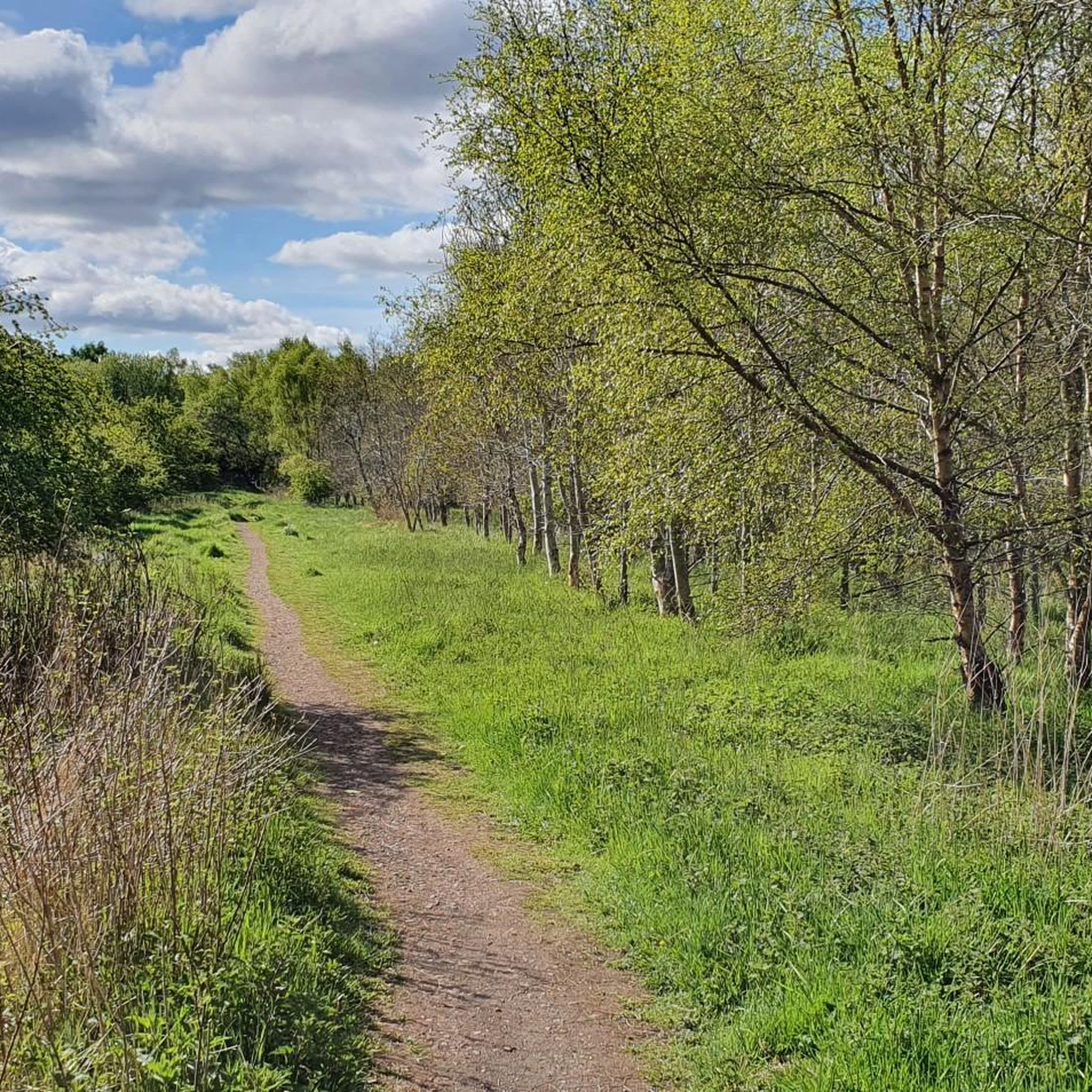
This cycle way is blocked near the beginning and at the end. It looks as if this has been done recently to deter quad and dirt bikes which have damaged the land.
0
0


Nice Cafe and excellent Birds of Prey Centre.
2
0

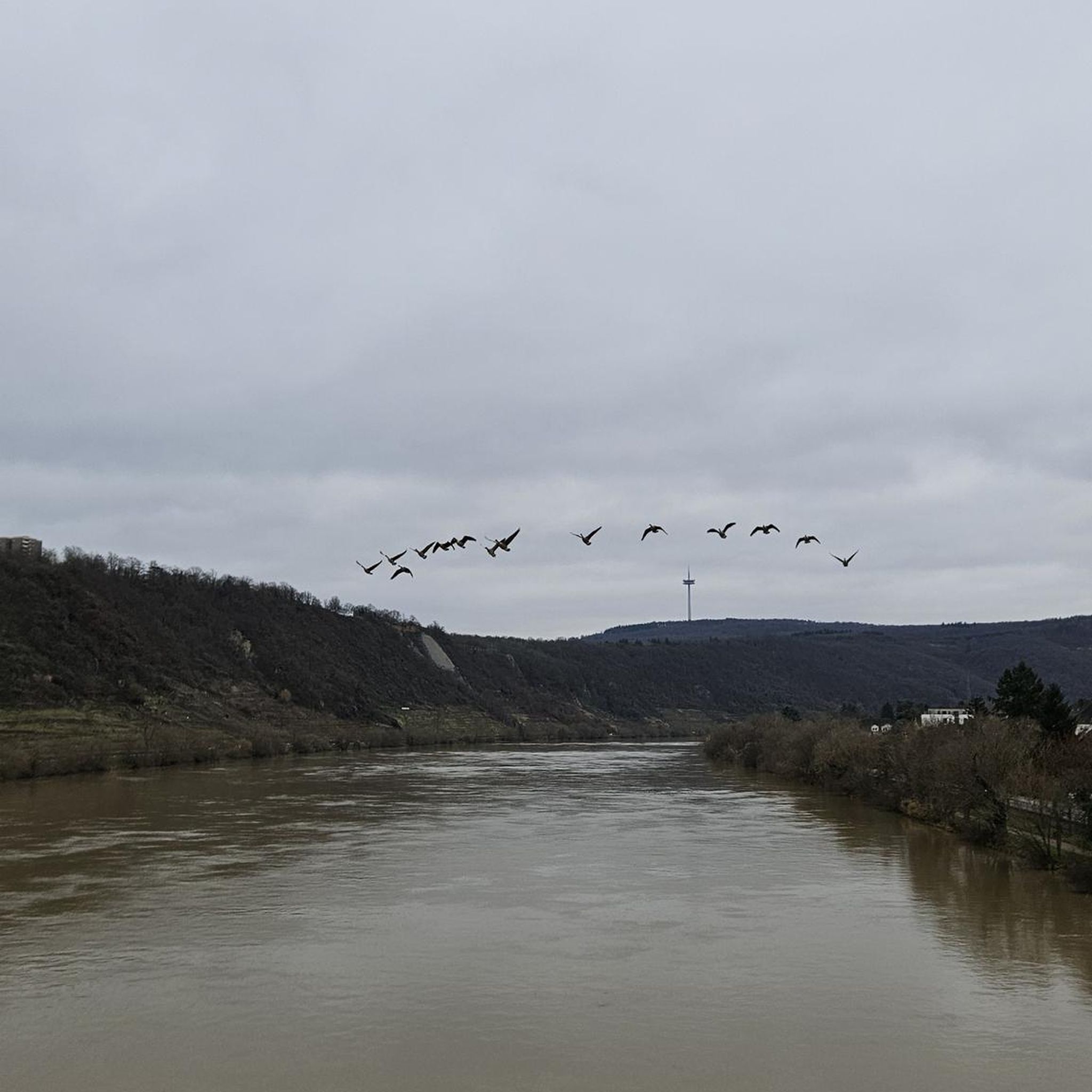
The Campsie Fells were formed by volcanic intrusion over existing mudstone and limestone beds.
0
0

Frequently Asked Questions
How many road cycling routes are available around Langloan?
There are over 220 road cycling routes in the Langloan area, offering a wide variety of options for different skill levels and preferences.
What kind of terrain can I expect on road cycling routes in Langloan?
Road cycling around Langloan features a network of routes traversing rural roads and dedicated cycle paths. The terrain includes moderate ascents and descents, with some routes offering views of distant fells and the Campsie Fells.
Are there any easy road cycling routes suitable for beginners in Langloan?
Yes, Langloan offers around 70 easy road cycling routes. These routes provide a gentle introduction to the area's scenery without overly challenging climbs, perfect for those new to road cycling or looking for a relaxed ride.
What are some longer road cycling routes for experienced cyclists in Langloan?
For those seeking a longer challenge, the View of the Campsie Fells – Hungryside Bridge loop from Blairhill is a difficult 55.6-mile (89.4 km) trail that takes about 4 hours 10 minutes to complete, offering significant elevation gain and expansive views.
Are there circular road cycling routes available in Langloan?
Many of the road cycling routes in Langloan are designed as loops, allowing you to start and finish at the same point. Examples include the popular Fannyside Road loop from Blairhill and the Quiet Backroad – Caldercruix Cycleway loop from Coatbridge Central.
What are some scenic highlights I might encounter on a road cycling trip in Langloan?
While cycling, you can enjoy views of distant fells and the Campsie Fells. You might also pass by natural attractions such as Strathclyde Loch or Lochend Loch. Historical sites like Bothwell Castle are also within reach.
What do other road cyclists enjoy most about the routes in Langloan?
The road cycling routes in Langloan are highly rated by the komoot community, with an average score of 4.6 stars. Cyclists often praise the varied terrain, the balance of rural roads and dedicated cycle paths, and the scenic views of the surrounding countryside.
Are there road cycling routes around 30 miles in length in Langloan?
Yes, there are several road cycling routes around the 30-mile mark. The Roadbike loop from Kirkwood is a moderate 20-mile (32.2 km) route, and the Roadbike loop from Whifflet is a moderate 21.4-mile (34.5 km) option, both offering a good distance for a solid ride.
What is the best time of year for road cycling in Langloan?
The best time for road cycling in Langloan is generally during the spring and summer months (April to September) when the weather is milder and daylight hours are longer. Autumn can also offer beautiful scenery, though conditions may be cooler and wetter.
Are there any cafes or facilities along the road cycling routes in Langloan?
While specific cafes on every route are not detailed, the region has local towns and villages where you can find facilities. For example, near Strathclyde Loch, you can find the Waterfront Café in Strathclyde Country Park.
Are there challenging road cycling routes in Langloan for experienced riders?
Yes, Langloan offers 13 difficult road cycling routes for those seeking a greater challenge. These routes typically feature more significant elevation gains and longer distances, such as the 55.6-mile View of the Campsie Fells – Hungryside Bridge loop from Blairhill.
Most popular attractions around Langloan

Get inspired with the komoot mobile app


Explore more
Browse the best Road cycling routes in other regions.
