The best walks and hikes around Moodiesburn
4.3
(231)
2,492
hikers
158
hikes
Hiking around Moodiesburn offers access to diverse natural features including tranquil lochs, canals, and woodlands. The area is characterized by well-maintained paths, with some routes following historical landmarks like the Antonine Wall. Gentle elevations are common, providing scenic views over local burns and distant hills. The terrain includes a mix of waterside paths, forest trails, and open green spaces.
Best hiking trails around Moodiesburn
- The most popular hiking route is Frog Trail, a 1.7 miles (2.8 km) trail that…
Last updated: June 24, 2026
4.3
(6)
87
hikers
2.80km
00:43
10m
10m
Hike the easy 1.7-mile Frog Trail in Broadwood Nature Reserve, offering gentle elevation gain and scenic views around Broadwood Loch.
4.0
(1)
64
hikers
5.33km
01:22
30m
30m
Easy hike. Great for any fitness level. Easily-accessible paths. Suitable for all skill levels.

Sign up for free
25
hikers
6.92km
01:47
30m
30m
Easy hike. Great for any fitness level. Easily-accessible paths. Suitable for all skill levels.
5.0
(1)
18
hikers
7.69km
02:00
40m
40m
Easy hike. Great for any fitness level. Easily-accessible paths. Suitable for all skill levels.
4.0
(1)
13
hikers
23.0km
06:09
260m
260m
Hard hike. Very good fitness required. Easily-accessible paths. Suitable for all skill levels.
Get access to more routes and recommendations from other explorers.
Sign up for free
Already have an account?
Our route recommendations are based on thousands of hikes, rides, and runs completed by other people on komoot.
Start today with a free account
Your next adventure awaits.
Login or Signup

Tips from the Community

Always great pictures, beautiful impressions, or amazing panoramic shots... A worthwhile ✅🚲—tour around the loch (lake)😅😅
0
0

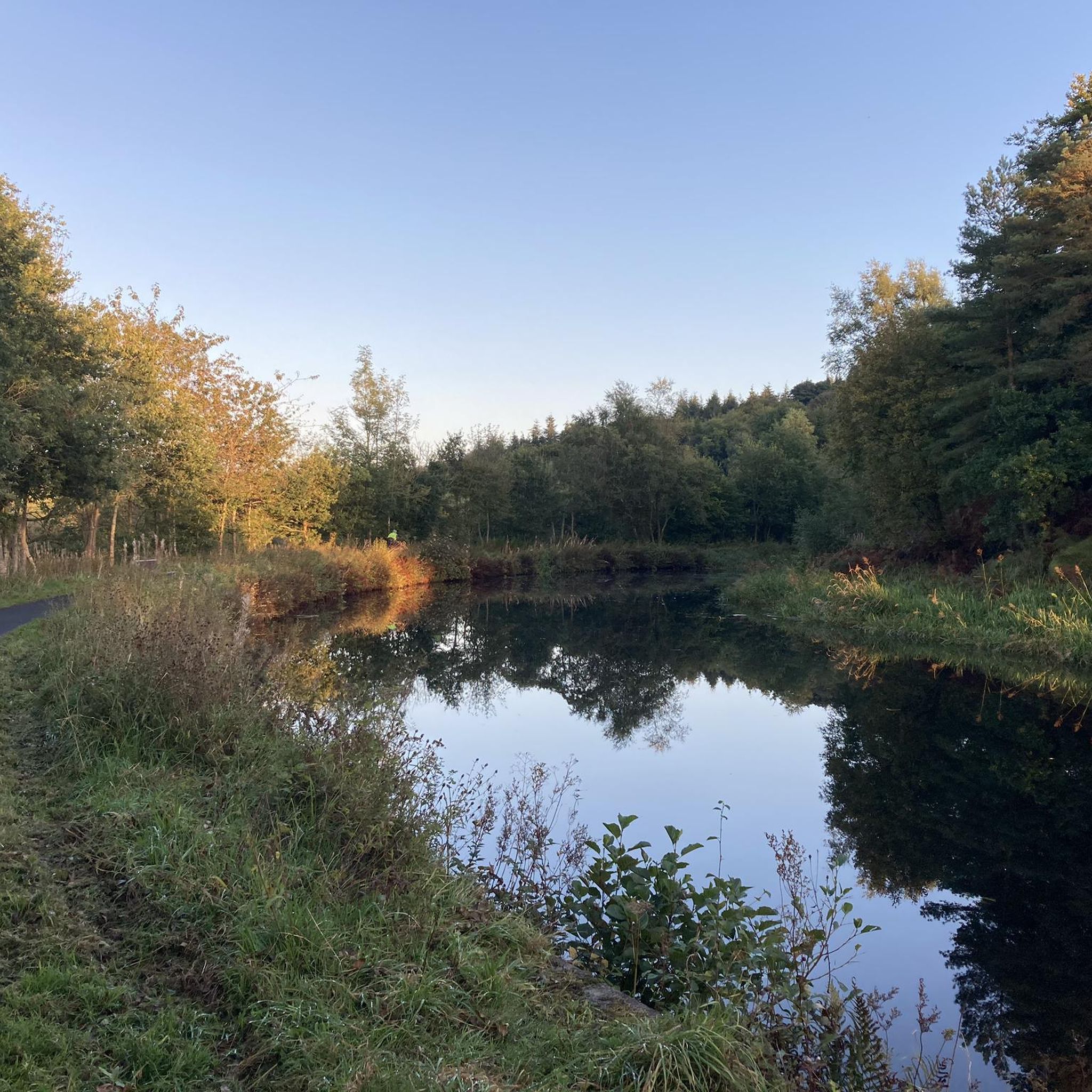
Vintage Inn country pub with large beer garden next to canal. Very dog-friendly
0
0


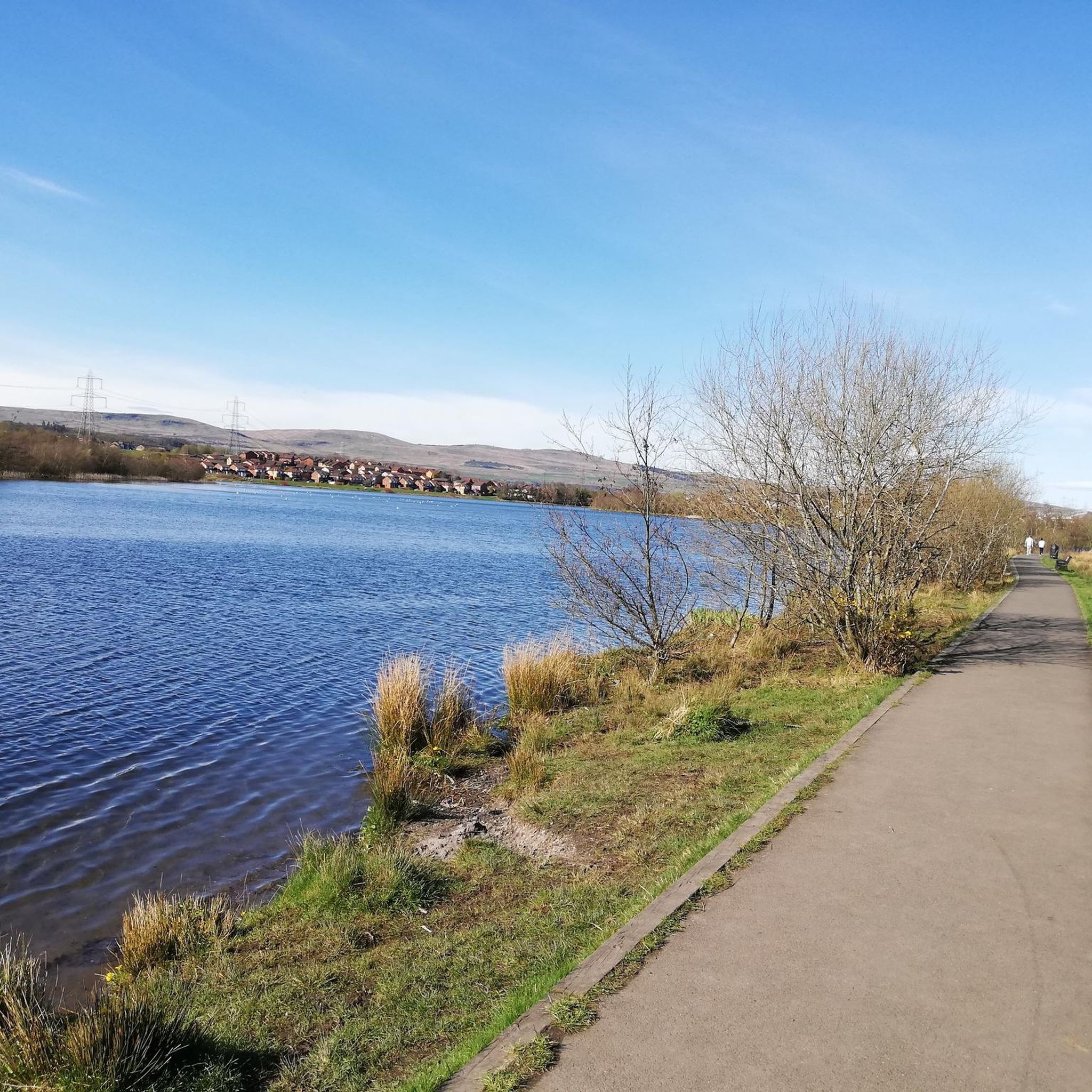
Braodwood Loch was created in 1994 when a dam was built across the burn as part of a flood remediation scheme, it helps control water downstream. Today it's a beautiful wildlife habitat within the urban area of Cumbernauld. The loch is home to flocks of swans and other water birds as well as lots of insects and underwater life. The circular trail around the loch is popular with local families and dog walkers.
0
0

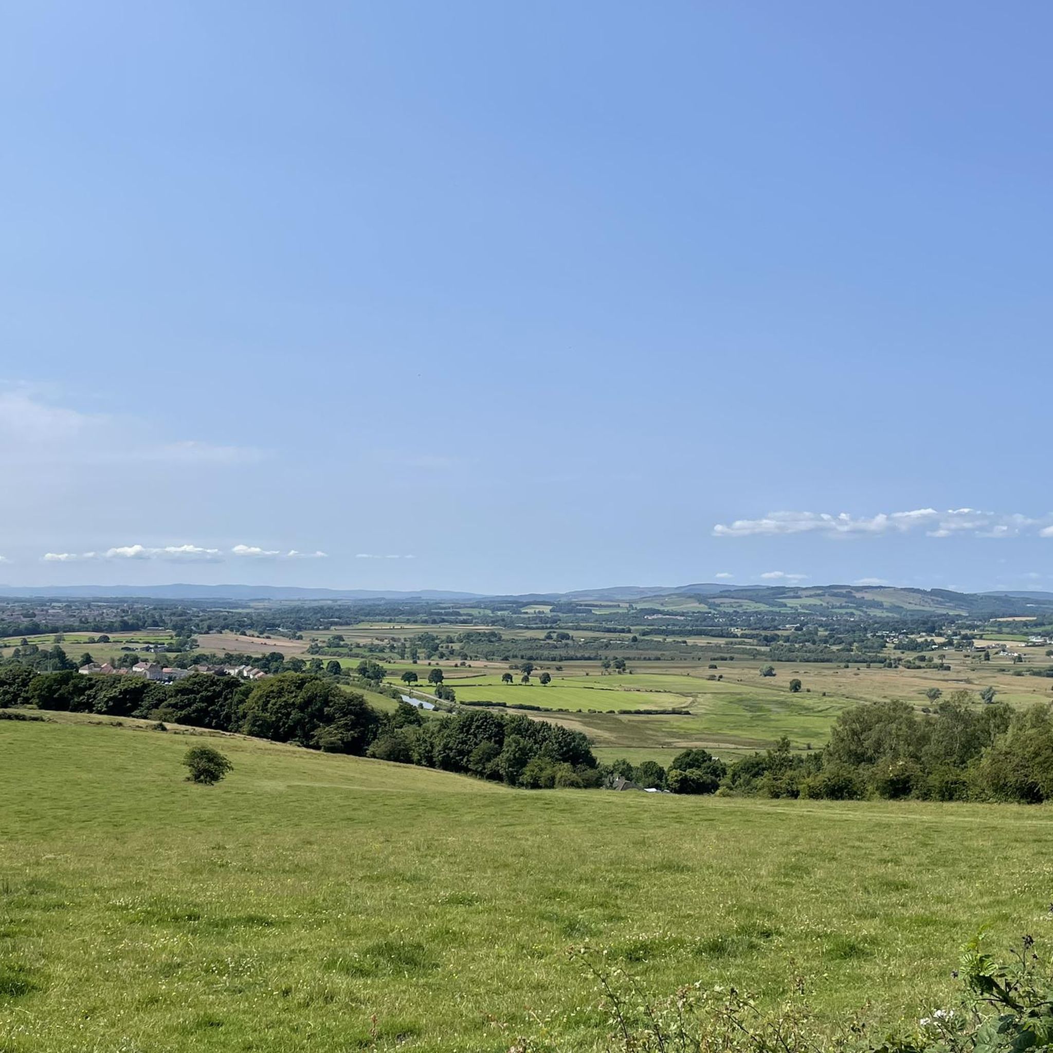
A summit with trig point easily accessible through a sheep gate by the main path. Start of path can be very boggy!
0
0

Set in the beautiful Drumpellier Park, Lochend Loch is one of two natural lochs here. With a number of light gravel paths through the woodland and around the lochs it's a lovely place to while away a few hours, with plenty of wildlife to spot too. Keep your eyes open for resident and migratory waterfowl, as well as fungi in the autumn months.
2
0


Frequently Asked Questions
How many hiking trails are available around Moodiesburn?
There are over 160 hiking routes around Moodiesburn, offering a wide variety of options. These include 88 easy routes, 58 moderate, and 19 more challenging trails, catering to all fitness levels.
Are there any family-friendly hiking options in Moodiesburn?
Yes, Moodiesburn offers several excellent family-friendly hikes. The Frog Trail, a 1.7-mile circular route within Broadwood Nature Reserve, is particularly popular with families due to its gentle elevation and scenic views of Broadwood Loch. Another great option is the Lochend Loch – Lochend Loch loop from Gartcosh, which features light gravel paths through woodlands.
Can I bring my dog on the hiking trails near Moodiesburn?
Many trails around Moodiesburn are suitable for dog walkers. The Frog Trail at Broadwood Loch is a popular choice for those with dogs, offering a pleasant circular walk. When hiking with your dog, always ensure they are under control, especially around wildlife, and check for any local signage regarding leash requirements.
What kind of natural features or landmarks can I expect to see on a hike?
Moodiesburn's hiking trails feature diverse natural landscapes and historical landmarks. You can explore tranquil lochs like Broadwood Loch and Lochend Loch, walk along the historic Forth and Clyde Canal, and discover local woodlands. The area is also close to the UNESCO World Heritage Site of the Antonine Wall, with sites like Croy Hill Roman Fort offering panoramic views.
Are there any circular walks available around Moodiesburn?
Yes, Moodiesburn offers several enjoyable circular walks. The Frog Trail is a well-known circular route around Broadwood Loch. Other options include the Lochend Loch – Monklands Canal Path loop from Gartcosh, which combines lochside and canal paths, and the Southbank Walkway loop from Auchinloch.
What is the best time of year to go hiking in Moodiesburn?
Moodiesburn offers pleasant hiking opportunities throughout the year. Spring and summer provide lush greenery and active wildlife, particularly around the lochs. Autumn is ideal for observing fungi and vibrant foliage in the woodlands, while winter can offer crisp, scenic walks, though some paths might be muddy. Always check local weather conditions before heading out.
Are there any challenging trails for experienced hikers?
While many routes are easy to moderate, experienced hikers seeking a longer challenge can consider the Forth and Clyde Canal – Trig Point loop from Kirkintilloch. This difficult 23.0 km trail leads through canal towpaths and open countryside, typically taking over 6 hours to complete.
What do other hikers say about the trails in Moodiesburn?
The hiking routes in Moodiesburn are highly regarded by the komoot community, with an average rating of 4.3 stars from over 200 reviews. Hikers frequently praise the tranquil lochs, well-maintained paths, and the diverse scenery that includes woodlands and historical canals.
Are there options for shorter, easy walks for beginners?
Absolutely. Moodiesburn is well-suited for beginners and those looking for shorter, easy walks. The 1.7-mile Frog Trail at Broadwood Loch is an excellent starting point. Another accessible option is the Lochend Loch – Lochend Loch loop from Gartcosh, which is 5.3 km and features light gravel paths.
How accessible are the trails by public transport or car parking?
Moodiesburn is connected to wider walking networks, and many trailheads are accessible. For specific routes like those starting from Gartcosh (e.g., Lochend Loch – Monklands Canal Path loop), public transport links or nearby parking facilities are generally available. It's advisable to check specific route details on komoot for the most accurate information on parking and public transport access for your chosen trail.
Can I find less crowded hiking trails around Moodiesburn?
While popular spots like Broadwood Loch can see more visitors, Moodiesburn's extensive network of over 160 trails means you can often find quieter paths. Exploring some of the less-trafficked woodland areas or longer canal sections, such as parts of the Monklands Canal Path loop, can offer a more secluded experience, especially during off-peak hours.
Most popular attractions around Moodiesburn

Get inspired with the komoot mobile app


Explore more
Browse the best Hikes in other regions.
