The 5 Most Amazing Peaks around Craigmarloch
Best mountain peaks around Craigmarloch are found in the Scottish Lowlands, an area characterized by hills and elevated historical sites rather than towering mountains. This region, including Craigmarloch itself, offers a mix of natural high points and ancient fortifications. Visitors can explore sites with significant historical context, such as Iron Age hillforts and Roman forts. The elevated positions provide strategic views of the surrounding landscape.
Best mountain peaks around Craigmarloch
- The most popular mountain peaks is Croy Hill Roman Fort…
Last updated: July 2, 2026
Meikle Bin Summit
Highlight • Viewpoint
Tip by

Croy Hill Roman Fort
Highlight • Viewpoint
Tip by

Sign up now to discover places like this
Get recommendations on the best single tracks, peaks, & plenty of other exciting outdoor places.
Sign up for free
Cort-ma-Law Summit
Highlight • Viewpoint
Tip by

Castle Hill Iron Age Fort
Highlight • Historical Site
Tip by
Tomtain Summit View
Highlight • Viewpoint
The ground becomes extremely boggy (step on the wrong spot, and you'll sink halfway to your knee, type of bog. …
Tip by

Start today with a free account
Your next adventure awaits.
Login or Signup


Tips from the Community

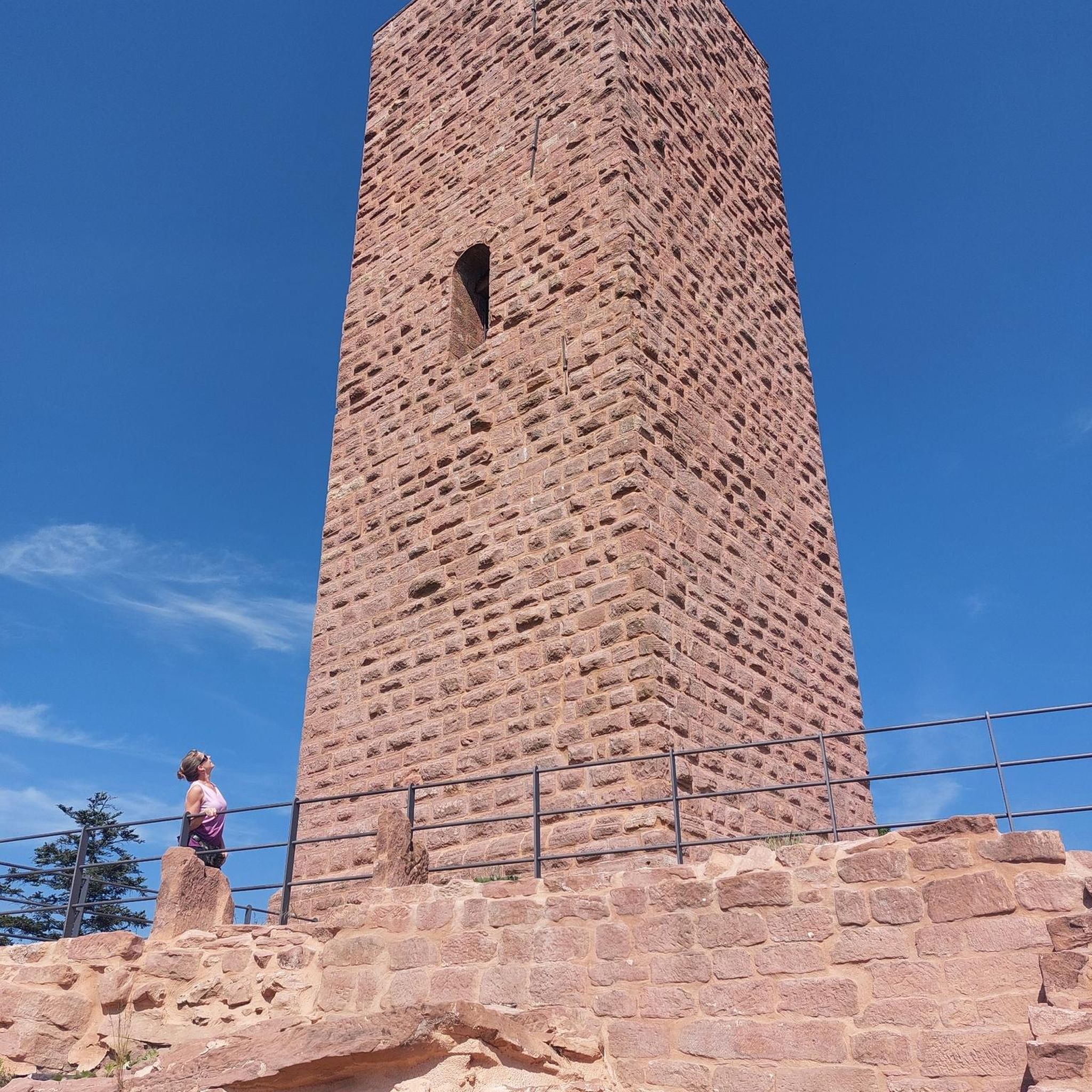
Croy Hill was a Roman fort,and probable temporary camp
0
0

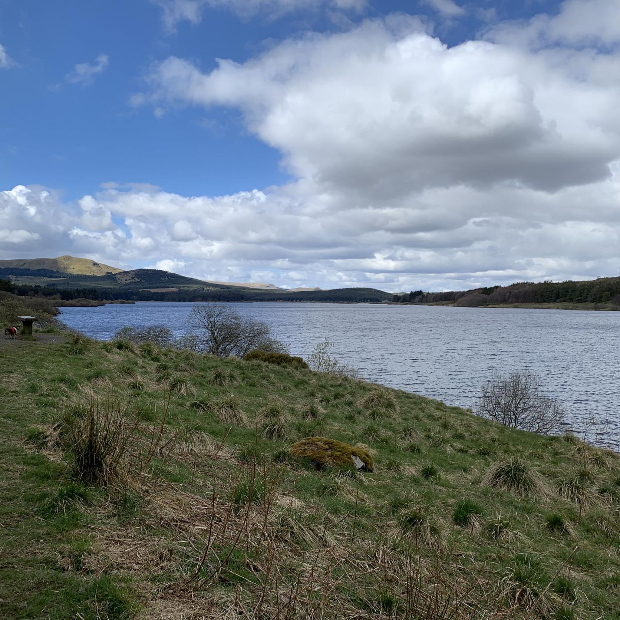
An eastern outlier of the Campsie Fells encircled by the Carron Valley Forest. At 570m it's a good hill with a trig point and great views. A good short but steep run from the forest car parks in the north it can also be added to the Kilsyth Hills ridgeline when running from the Carron Valley Reservoir.
0
0
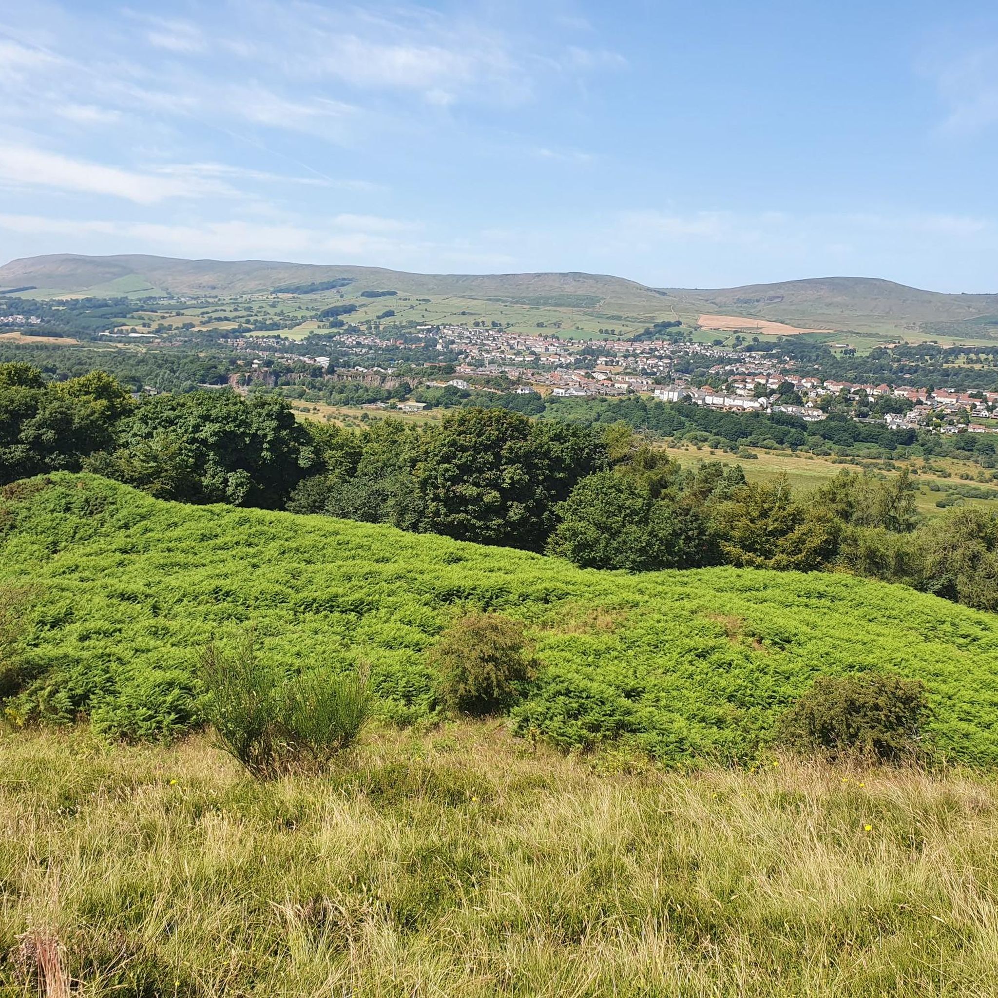
Tomtain is the most easterly of the Kilsyth Hills & the Campsie Fells. At 453m it isn't the highest but its position gives it prominence and a great view. It's often climbed from the road to the east but can be incorporated into a great running loop along the ridge from the Carron Valley Reservoir.
1
0
Meikle Bin at 570m is a great viewpoint within the Carron Valley Forest. It's a great summit that looks pointy and mountainous but it's not too hard and is popular with families. There is a trig point on top.
0
0

Castle Hill is a dramatic Iron Age hill fort that affords breathtaking views along the Antonine Wall. Roman soldiers from nearby Bar Hill fort watched over the empire’s northern frontier from this spot.
3
0

The path to Cort Ma Law is very boggy most of the year. Best tackled after a long dry spell or hard frost.
0
0

South descent from Meikle Bin is fair to wet until you reach the woods where it becomes unrideable. The mud is axle deep in places and covers the width of the trail. There alternatives through the trees if you're happy fighting branches and slippy under foot...wish I'd taken the other route down. I'll avoid this one.
0
0

The descent off the top of Meikle Bin heading south is great fun. However as it enters the woods it becomes incredibly boggy and fairly unrideable - and that was having ridden it in August. Worth doing, but try to do it after a dry spell!
2
0
Frequently Asked Questions
What kind of mountain peaks can I expect to find around Craigmarloch?
The Craigmarloch area, situated in the Scottish Lowlands, features hills and elevated historical sites rather than towering mountains. You'll discover a mix of natural high points offering scenic views and ancient fortifications with significant historical context, such as Iron Age hillforts and Roman forts.
Are there any historical sites among the elevated points near Craigmarloch?
Yes, the region is rich in history. For instance, Croy Hill Roman Fort is a notable historical site and viewpoint, once a Roman fort along the Antonine Wall. Another significant location is Castle Hill Iron Age Fort, a dramatic Iron Age hill fort that also offers extensive views along the Antonine Wall.
What is the highest point or most prominent summit in the immediate area?
While not a towering mountain, Meikle Bin Summit is a prominent summit within the Carron Valley Forest, reaching 570 meters (1,870 feet). It features a trig point on top and offers great views.
Are there family-friendly walks to any of the peaks or elevated sites?
Yes, Meikle Bin Summit is popular with families due to its accessible nature, despite its pointy and mountainous appearance. It's a great option for a family outing.
What are the views like from these elevated locations?
From Croy Hill Roman Fort, you can enjoy great views over the Kilsyth Hills to the north, the Firth of Forth, and Fife hills to the east. Castle Hill Iron Age Fort provides breathtaking views along the Antonine Wall. Meikle Bin Summit also offers a great viewpoint within the Carron Valley Forest.
What is the best time to visit the peaks around Craigmarloch?
Some paths, like the one to Cort-ma-Law Summit, can be very boggy for much of the year. It's often best to tackle these after a long dry spell or during a hard frost to avoid challenging conditions. Generally, drier months will offer more comfortable hiking.
Are there any challenging hikes in the Craigmarloch area?
While many local hills are accessible, some routes can be challenging. For example, the path from Meikle Bin to Tomtain Summit View can be extremely boggy and difficult to navigate, especially after rain, with poorly defined paths and dense vegetation in places. This route is considered challenging.
What other outdoor activities can I do near the mountain peaks around Craigmarloch?
Beyond hiking, the area offers various outdoor activities. You can explore road cycling routes, such as the moderate loop from Croy to Auchinstarry Quarry and Stirling Castle. For those interested in off-road adventures, there are also gravel biking trails, including the challenging Carron Valley Red Trail.
Are there easy hiking trails available near Craigmarloch?
Yes, there are several easy hiking options. For example, you can find easy routes like the Frog Trail or the loop from Kilsyth to the Silvanus Roman Head Sculpture and Auchinstarry Marina. More options are available in the easy hikes guide for Craigmarloch.
What is Craigmarloch Wood,fort and why is it significant?
Craigmarloch Wood,fort, located in Inverclyde, is a craggy hill approximately 150 meters (about 500 feet) above sea level that was home to a double-period hillfort dating back to at least 590 BC. It's significant for its archaeological findings, including artifacts and evidence of a palisaded and later walled enclosure, offering a glimpse into Iron Age life and defensive strategies in Scotland.
What is Cumbernauld Hill and what does it offer visitors?
Cumbernauld Hill is a local summit near Craigmarloch, reaching an elevation of 149 meters (489 feet). It's marked by an indicator post and provides opportunities for walks and views of the surrounding North Lanarkshire landscape. Its accessibility makes it a suitable spot for local recreation.
Most popular routes around Craigmarloch
Most popular attractions around Craigmarloch

Get inspired with the komoot mobile app


Explore more
See even more amazing summits around Craigmarloch with these guides:
