The best cycling routes around Calder Valley
4.3
(155)
1,335
riders
150
rides
Best touring cycling routes in Calder Valley are found within the dramatic and diverse landscape of the South Pennines in West Yorkshire. The region features steep valleys carved by the River Calder, extensive moorlands, ancient millstone grit formations, and dense woodlands. Touring cyclists encounter varied terrain, from tranquil waterside paths along canals to challenging ascents over exposed uplands.
Best touring cycling routes around Calder Valley
- The most popular touring cycling route is Calder Valley Greenway, a 6.4 miles (10.3…
Last updated: August 29, 2026
4.5
(11)
25
riders
27.7km
01:42
190m
190m
Moderate bike ride. Good fitness required. Mostly paved surfaces. Suitable for all skill levels.
5.0
(1)
33
riders
36.7km
02:27
280m
280m
Moderate bike ride. Good fitness required. Mostly paved surfaces. Suitable for all skill levels.

Sign up for free
5.0
(1)
30
riders
26.1km
01:48
190m
190m
Moderate bike ride. Good fitness required. Mostly paved surfaces. Suitable for all skill levels.
1.0
(1)
20
riders
Moderate bike ride. Good fitness required. Mostly paved surfaces. Suitable for all skill levels.
14
riders
Moderate bike ride. Good fitness required. Mostly paved surfaces. Suitable for all skill levels.
Get access to more routes and recommendations from other explorers.
Sign up for free
Already have an account?
Our route recommendations are based on thousands of hikes, rides, and runs completed by other people on komoot.
Start today with a free account
Your next adventure awaits.
Login or Signup
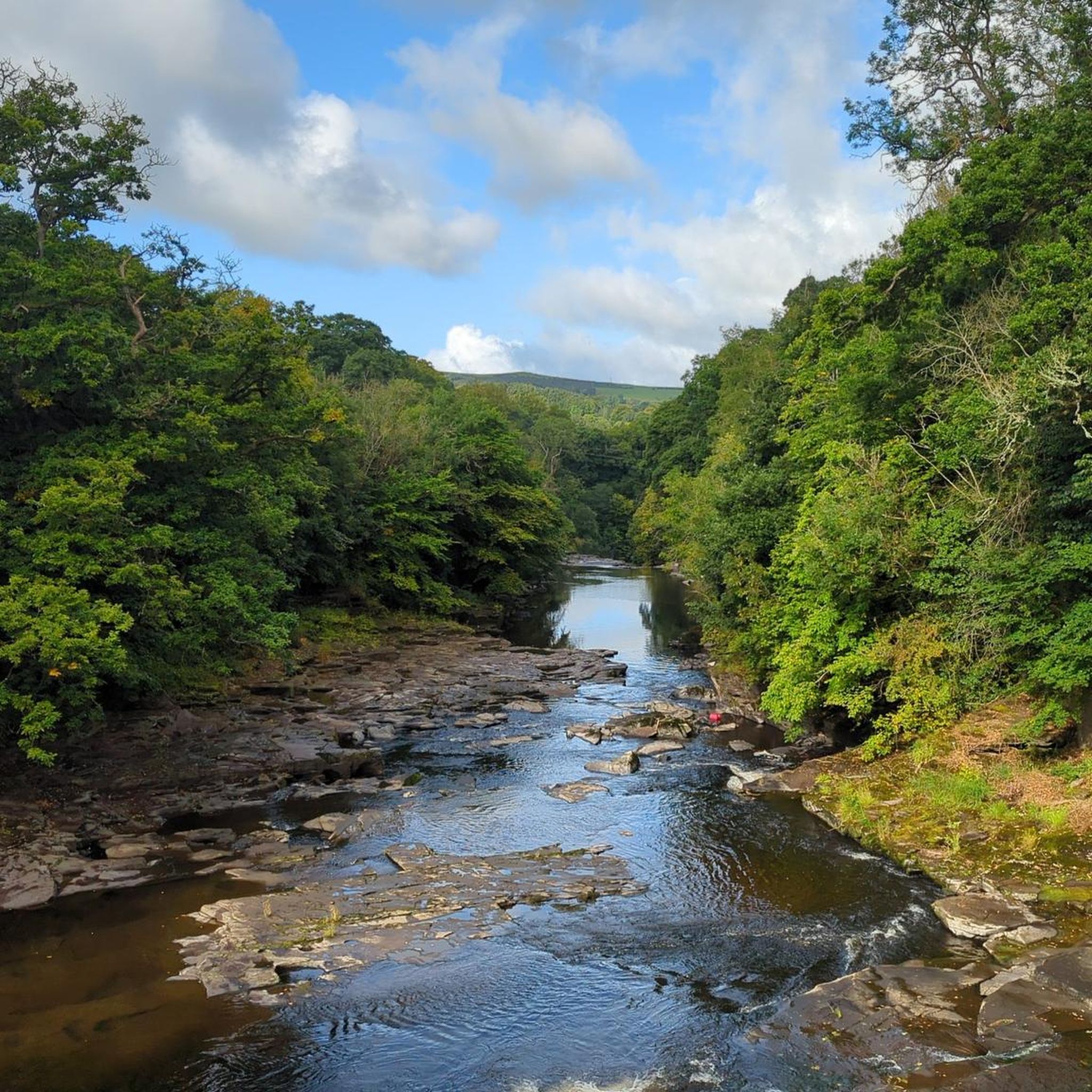
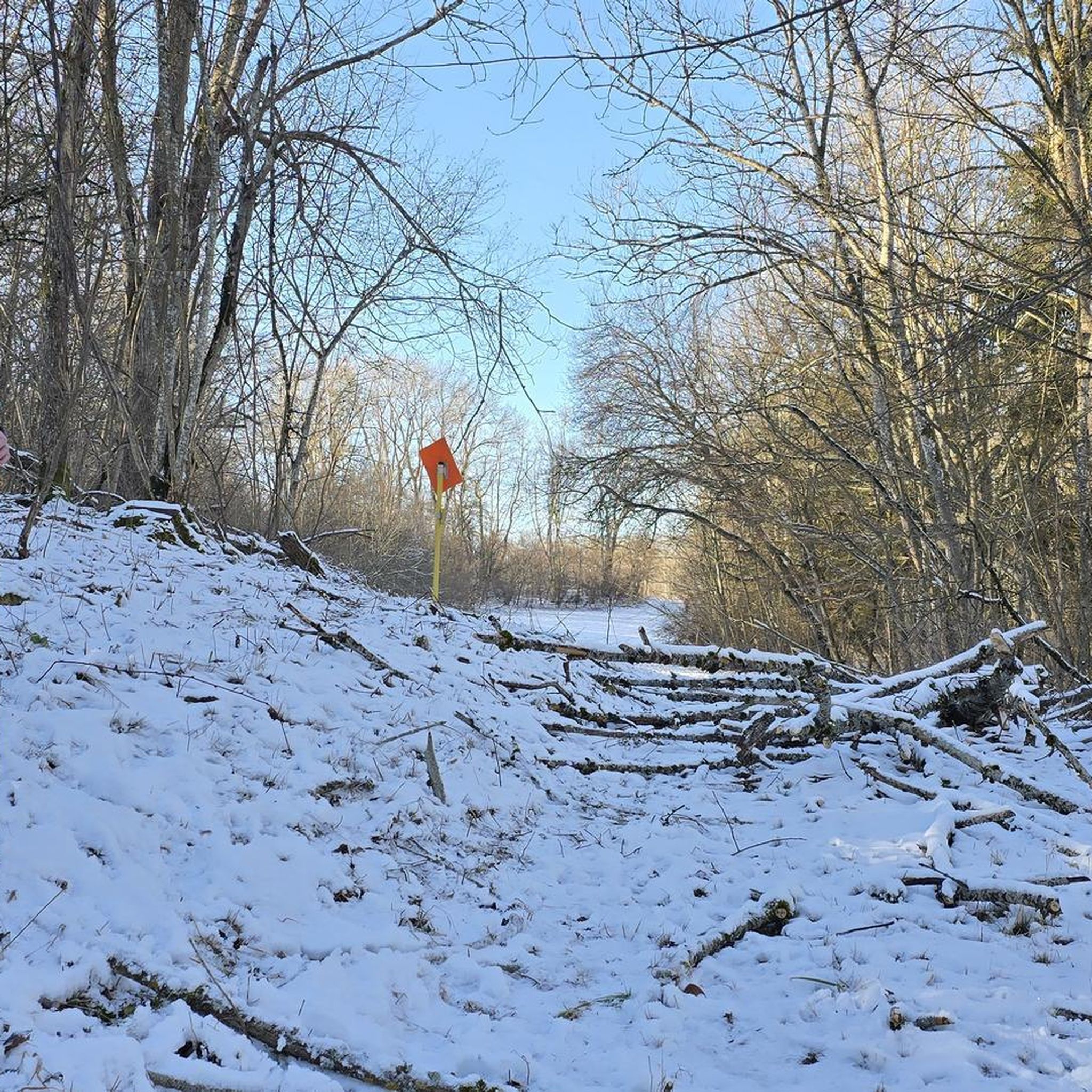

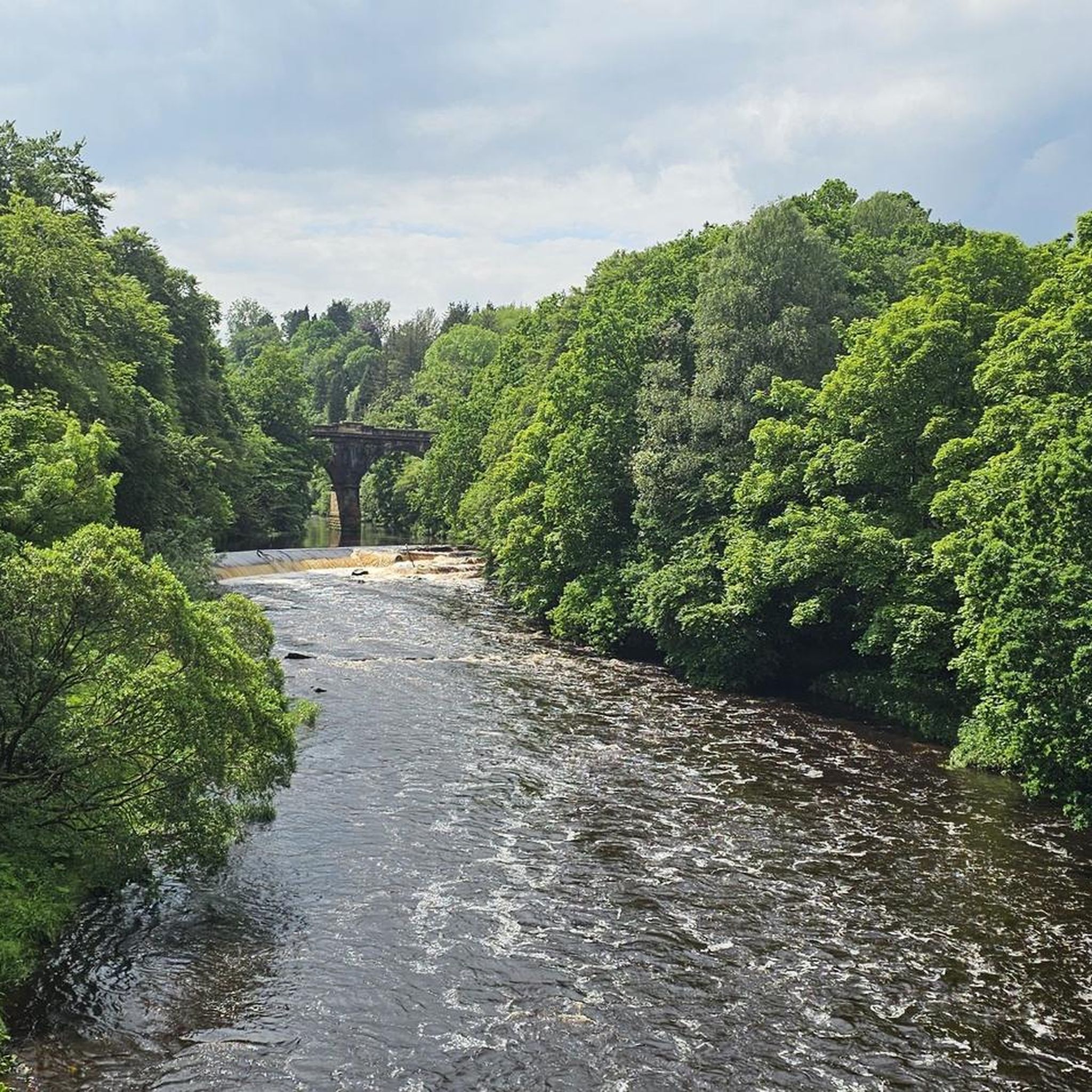

Tips from the Community

“Strathclyde Loch is more than just water: beneath its surface, Bothwellhaugh, a mining village swept away in the 1970s, vanished. Today, only a cairn remains as a reminder of the houses, schools, and shops. There's also a Roman fort and an ancient road (yes, Watling Street is still here). Final warning: In 2012, a norovirus outbreak left 57 swimmers unconscious. Water caution.
0
0

Fun little graffiti wall just before the beautiful views open up.
0
0

Certain times of the year there are posts to tell you to keep dogs out water because of the algae
0
0


Chatelherault Country Park in southern Glasgow is a 500-acre area of parkland, countryside and woodland with a river valley and various visitor facilities. The house is an 18th century hunting lodge. There is a café, visitor centre and various walking trails and play areas.
0
0

Frequently Asked Questions
How many touring cycling routes are available in Calder Valley?
There are over 160 touring cycling routes around Calder Valley listed on komoot, catering to various skill levels. This includes 45 easy routes, 98 moderate routes, and 20 difficult routes, ensuring options for every touring cyclist.
What types of terrain can I expect on touring cycling routes in Calder Valley?
Calder Valley offers a diverse range of terrain, from largely flat, traffic-free paths along canal towpaths and former railway lines to challenging climbs and descents through steep valleys in the South Pennines. You'll find routes that follow the winding River Calder, traverse moorland, and pass through woodland trails.
Are there any family-friendly touring cycling routes in Calder Valley?
Yes, the region has several family-friendly options. The National Cycle Network Route 66 (Calder Valley Greenway) is largely flat and traffic-free, following canal towpaths and former railway lines. Additionally, Centre Vale Park in Todmorden offers a traffic-free 1-mile loop, perfect for younger riders.
What are some challenging touring cycling routes in the area?
For those seeking a challenge, Cragg Vale is famous as the longest continuous incline in England, offering a significant climb. Sections of the Pennine Bridleway, such as the 17-mile Calderdale section of the Mary Towneley Loop, also provide demanding rides across steep-sided moorland with breathtaking views.
What do other touring cyclists enjoy most about cycling in Calder Valley?
The touring cycling routes in Calder Valley are highly rated by the komoot community, with an average score of 4.4 stars from over 150 reviews. Cyclists often praise the dramatic topography, the extensive network of routes, and the blend of natural beauty with rich industrial heritage, including tranquil riverside views and historical landmarks.
Are there circular touring cycling routes available?
Yes, many routes in Calder Valley are designed as loops. For example, the Bike loop from Carfin is a moderate 27 km option. The Chatelherault Country Park loop from Motherwell offers a longer 32 km ride, while the Chatelherault Country Park – Clyde Riverside Pathways loop from Carfin extends to 37 km, providing varied scenery and challenges.
What kind of scenic viewpoints or attractions can I find along the routes?
The routes often offer expansive vistas across the Calder Valley, particularly along the Pennine Cycleway between Sowerby Bridge and Mytholmroyd. You can also discover natural havens like Dalton Bank Local Nature Reserve and Cromwell Bottom nature reserve. Historical landmarks such as the Bradley Viaduct and traditional dry-stone walls are also common sights. For specific points of interest, consider visiting Strathclyde Loch or Bothwell Castle.
What is the best time of year to go touring cycling in Calder Valley?
The Calder Valley is enjoyable for touring cycling throughout much of the year. Spring and autumn offer pleasant temperatures and beautiful scenery. Summer provides longer daylight hours, while winter can be challenging due to weather conditions, though some lower-level routes may still be accessible. Always check local weather forecasts before heading out.
Are there options for public transport access to the cycling trails?
Yes, many towns along the Calder Valley Greenway, such as Todmorden, Hebden Bridge, and Mytholmroyd, are well-served by public transport, including train stations, making it convenient to access sections of the National Cycle Network Route 66. This allows for flexible touring options, including one-way rides.
Where can I find amenities like cafes and pubs along the cycling routes?
The cycling routes, especially those following the Calder Valley Greenway, pass through several towns like Todmorden, Hebden Bridge, and Mytholmroyd. These towns offer ample opportunities for cafe stops, pubs, and other local amenities, making it easy to refuel and explore local culture during your ride.
Are there any routes that incorporate sections of the Pennine Bridleway?
Yes, the Calderdale section of the Mary Towneley Loop is a 17-mile off-road route that forms part of the Pennine Bridleway, traversing steep-sided moorland. Another option is the 15-mile Calderdale Loop mountain bike route, which also incorporates sections of the Pennine Bridleway National Trail, offering challenging terrain and expansive views.
Most popular attractions around Calder Valley

Get inspired with the komoot mobile app


Explore more
Browse the best Cycling routes in other regions.
