Top 9 Hikes and Walks around Northbay
4.6
(21)
156
hikers
13
hikes
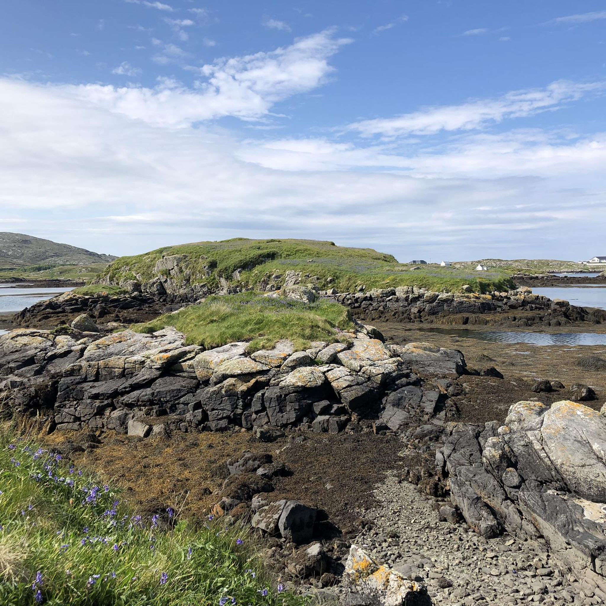
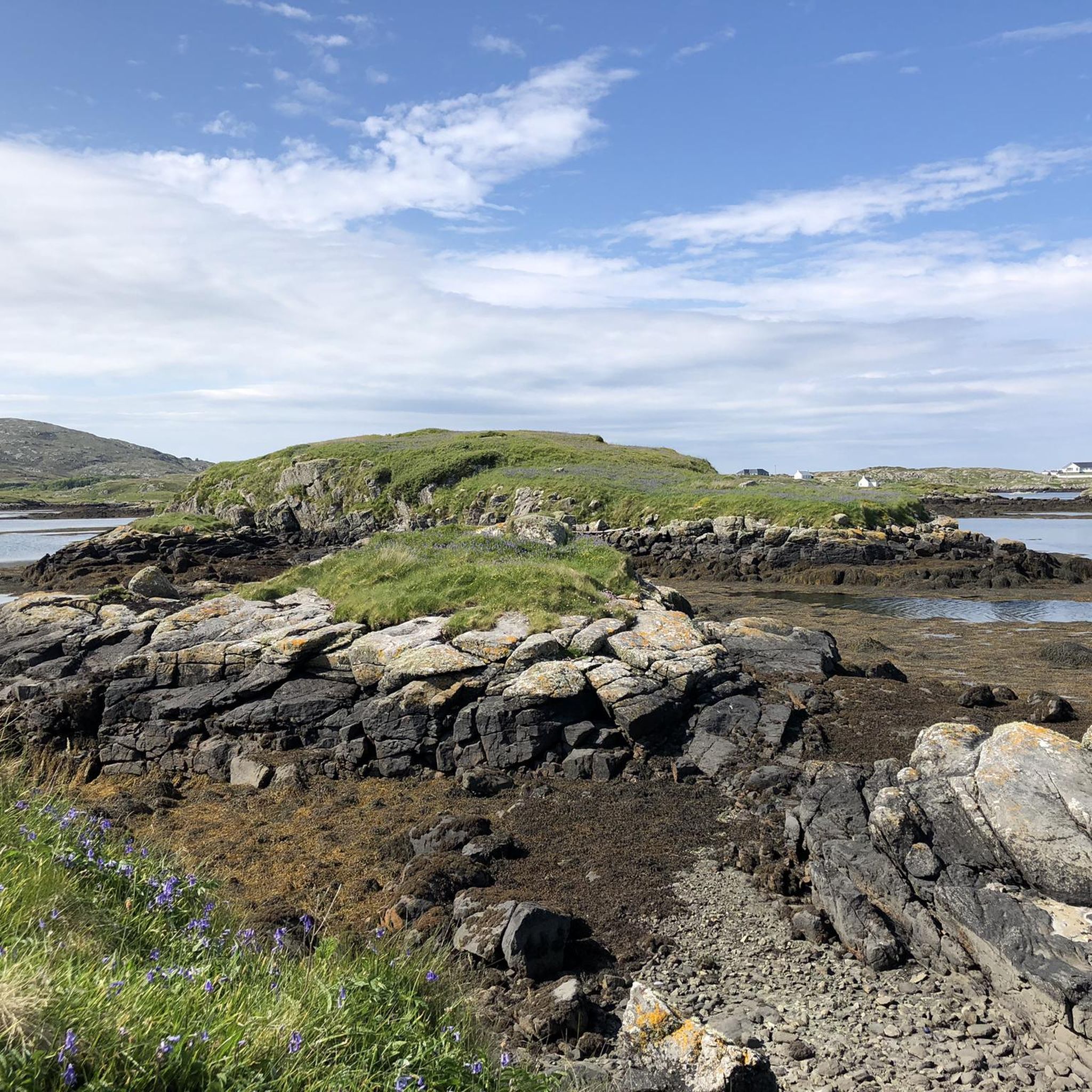
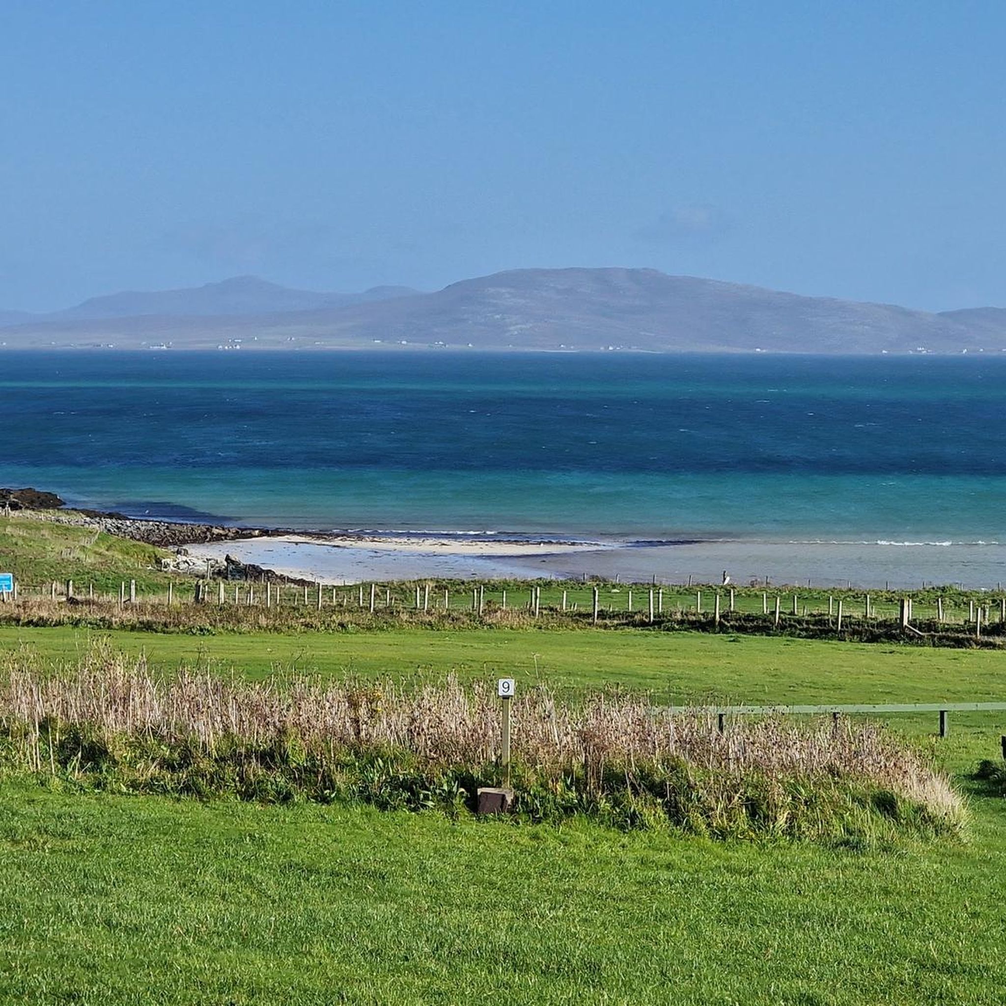
Hiking around Northbay features a landscape shaped by its island geography, offering a mix of coastal paths, sandy beaches, and undulating hills. The region provides diverse terrain for hikers, from gentle loops to more challenging ascents. This area is characterized by its maritime environment and open vistas.
Best hiking trails around Northbay
- The most popular hiking route is Heaval loop from Castlebay — Barra, Outer Hebrides, a 3.9 miles (6.3 km) trail that takes 2 hours 10 minutes to…
Last updated: May 11, 2026
4.5
(4)
25
hikers
6.30km
02:11
320m
320m
Embark on the moderate Heaval loop from Castlebay, a 3.9-mile (6.3 km) hike that takes about 2 hours and 10 minutes to complete. You will gain 1046 feet (319 metres)…
4.8
(5)
29
hikers
5.14km
01:28
50m
50m
Moderate hike. Great for any fitness level. Mostly accessible paths. Sure-footedness required.

Sign up for free
5.0
(2)
18
hikers
10.9km
03:51
350m
350m
Hard hike. Good fitness required. Sure-footedness, sturdy shoes and alpine experience required.
5.0
(2)
17
hikers
10.4km
03:43
350m
350m
Hard hike. Good fitness required. Sure-footedness, sturdy shoes and alpine experience required.
5
hikers
Moderate hike. Good fitness required. Easily-accessible paths. Suitable for all skill levels.
Get access to more routes and recommendations from other explorers.
Sign up for free
Already have an account?
Our route recommendations are based on thousands of hikes, rides, and runs completed by other people on komoot.
Start today with a free account
Your next adventure awaits.
Login or Signup
Popular around Northbay
Tips from the Community

At around 880 feet (270 m), this stretch of trail across the west flank of Beinn Tangabhal is the highest section of the Hebridean Way long-distance trail. On a good day, the hike provides exceptional views across Vatersay. Posts point the way where paths are less distinct, though you'll need to navigate carefully.
0
0
This early stretch of the Hebridean Way provides beautiful views across Vatersay, the southern and westernmost of the Outer Hebrides. The ascent across Beinn Tangabhal takes you to the highest point of the entire long-distance trail, at around 880 feet (270 m).
0
0

Unlike other highlights, the runway leads directly into the sea and can therefore only be used at low tide.
0
0
The airport can only be reached at low tide, which can lead to flight delays. Barra is served twice daily by Logan Air's Twin Otter.
0
0

Barra Airport is next to BEST beach on island as shared by 2 different locals and I'd agree. see walkway opposite Airport and follow
0
0

Discover this beautiful beach fit with glorious white sands and turquoise blue waters habitual to the stunning Outer Hebrides in Scotland. There is an opportunity to scramble along the cliffs here and reach a lookout cave home to otters and doves. Be mindful, though, as there is not a clear path to follow.
2
0

WIth wide Atlantic views and white sand, Tangasdale Beach is a sight to behold as the road snakes past. The Isle of Barra Beach Hotel on the north eastern cliffs is the most westerly pub in the UK.
1
0

The most scenic airport you will ever see. Well worth going at the correct times to watch the planes land.
2
0
Frequently Asked Questions
How many hiking trails are available in Northbay?
There are over 10 hiking routes around Northbay, offering a variety of experiences across its island geography.
What are the typical difficulty levels for hiking trails in Northbay?
Northbay offers a range of trails, from easy strolls to difficult climbs. You'll find options suitable for various fitness levels, including 4 easy, 6 moderate, and 3 difficult routes.
What kind of terrain can I expect on Northbay's hiking trails?
The terrain in Northbay is characterized by its maritime environment, featuring coastal paths, sandy beaches, and undulating island hills. Expect open vistas and diverse landscapes shaped by its island geography.
Are there any circular hiking routes in Northbay?
Yes, many of Northbay's trails are circular. For example, the Heaval loop from Castlebay is a popular moderate circular route, and the Tangasdale Beach loop from Borve offers coastal scenery in a loop.
What are some notable landmarks or attractions to see while hiking in Northbay?
While hiking in Northbay, you can encounter several interesting sights. Highlights include the Eriskay Causeway, the unique Barra Airport Beach Runway, and the scenic Vatersay Beaches. You can also get a view of Kisimul Castle from Castlebay.
What do other hikers enjoy most about hiking in Northbay?
The hiking routes in Northbay are highly rated by the komoot community, with an average score of 4.6 stars from over 20 reviews. Hikers often praise the diverse island terrain, coastal paths, and open vistas.
Are there any long-distance or more challenging hikes in Northbay?
For those seeking a more challenging experience, routes like the Vatersay Causeway Climb – Vatersay Views loop from Castlebay offer varied island terrain and significant elevation gain over nearly 11 km, typically taking almost 4 hours to complete.
Can I find hikes that feature sandy beaches in Northbay?
Absolutely. Northbay's island environment means many trails incorporate sandy beaches. The Tangasdale Beach loop from Borve is a great option for exploring coastal scenery, and the Traigh Mhòr Beach – Barra Airport Beach Runway loop from Barra Airport specifically features a beach runway.
What is the best way to explore the island's views and elevation?
To experience the island's best views and elevation, consider routes that ascend the hills. The Heaval loop from Castlebay, for instance, involves over 300 meters of ascent, providing rewarding panoramas of the surrounding island landscape.
Are there any easy, shorter walks suitable for a quick outing?
Yes, Northbay offers several easy routes perfect for shorter outings. While specific easy routes aren't detailed here, the guide indicates 4 easy tours are available, providing gentle options for a relaxed walk.
Is there a good route to see the Vatersay area?
To explore Vatersay, the Halaman Bay (Bàgh Halaman) – Vatersay Views loop from Borve is an excellent choice. This difficult route covers over 10 km and offers extensive views of the Vatersay area.
Most popular routes around Northbay
Most popular attractions around Northbay

Get inspired with the komoot mobile app


Explore more
Browse the best Hikes in other regions.
