The best walks and hikes around Ardrossan
4.3
(51)
1,237
hikers
11
hikes
Hikes around Ardrossan are characterized by coastal paths and sandy beaches with views across the Firth of Clyde. The local terrain is predominantly flat, making it suitable for accessible walks. The area offers several routes that explore the harbour and shoreline, many of which are easy circular walks.
Best hiking trails around Ardrossan
- The most popular hiking route is Ardrossan Harbour – South Beach Ardrossan loop from Ardrossan Harbour, a 4.0 mile (6.5 km) trail that takes 1 hour 39 minutes to complete. This easy route follows the coastline around the harbour and South Beach.
- Another top favourite among local hiking enthusiasts is South Beach Ardrossan loop from Ardrossan South Beach, a moderate 5.9 mile (9.4 km) path. This route extends along the coast, offering a longer exploration of the shoreline.
- Local hiking enthusiasts also love the Ardrossan Harbour loop from Ardrossan, a 2.5 mile (4.0 km) trail leading through the harbour area, often completed in about 1 hour 1 minute.
- Hiking around Ardrossan is defined by its accessible coastal paths and sandy beaches. The trail network provides options for different ability levels, with a focus on easy and moderate routes.
- The routes in Ardrossan are highly rated by the komoot community with an average score of 4.6 stars from more than 40 reviews. More than 1000 hikers have used komoot to explore Ardrossan's varied terrain.
Last updated: August 17, 2026
47
hikers
Easy hike. Great for any fitness level. Easily-accessible paths. Suitable for all skill levels.
36
hikers
Easy hike. Great for any fitness level. Easily-accessible paths. Suitable for all skill levels.

Sign up for free
5.0
(2)
7
hikers
Moderate hike. Good fitness required. Easily-accessible paths. Suitable for all skill levels.
6
hikers
7.22km
01:52
40m
40m
Easy hike. Great for any fitness level. Easily-accessible paths. Suitable for all skill levels.
7
hikers
3.91km
01:00
10m
10m
Easy hike. Great for any fitness level. Easily-accessible paths. Suitable for all skill levels.
Get access to more routes and recommendations from other explorers.
Sign up for free
Already have an account?
Our route recommendations are based on thousands of hikes, rides, and runs completed by other people on komoot.
Start today with a free account
Your next adventure awaits.
Login or Signup
Tips from the Community


New mural brightening up Princes Street
0
0


Saltcoats sea wall beside the train station, amazing during a storm.
0
0
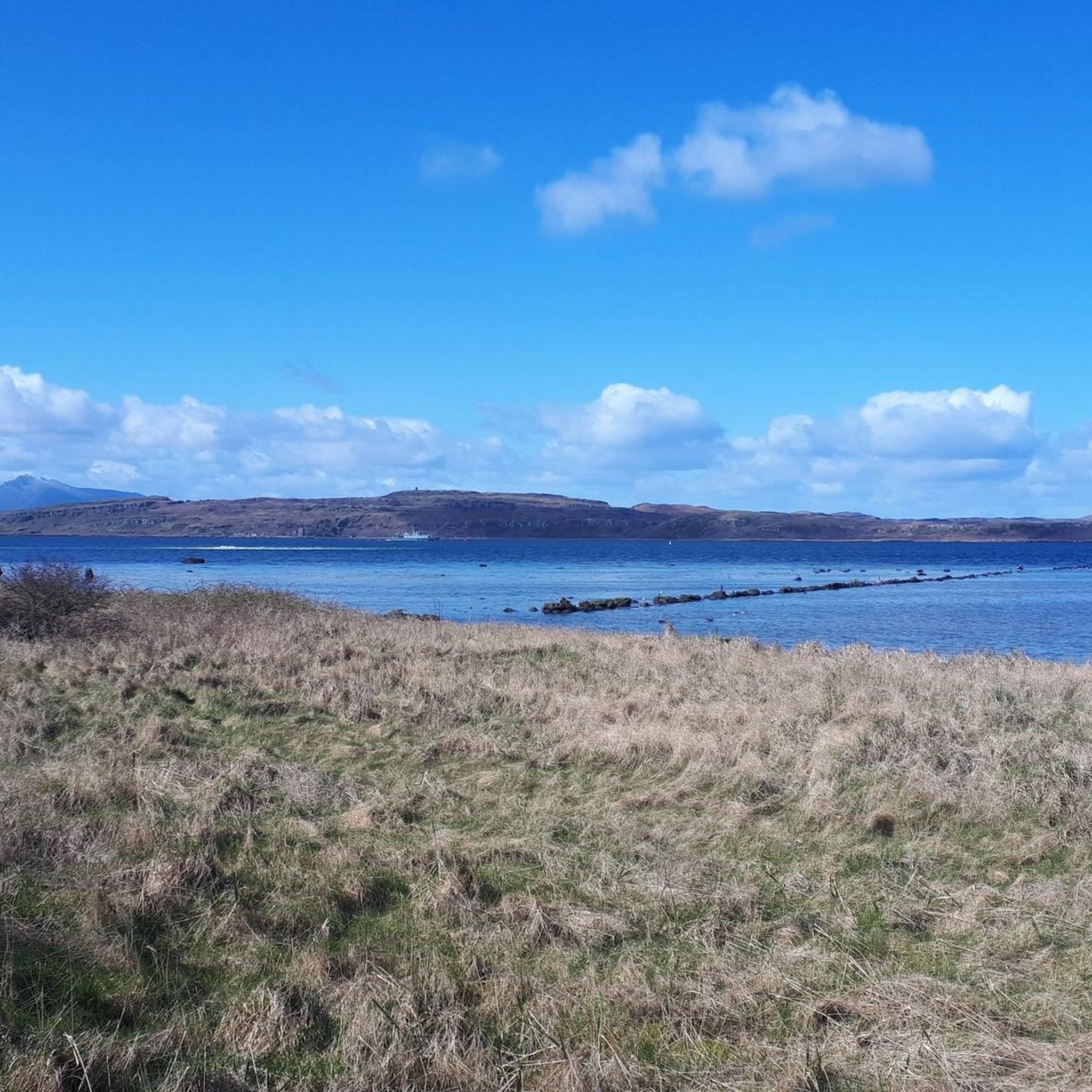
Horse Isle is a nature reserve, run by the RSPB. The Arran ferry passes close to the island. Two smaller islands, North Islet and East Islet, skirt the east coast of Horse Isle and a number of other rocks litter the sound between the island and the mainland. A 52 foot tall stone beacon stands at the south end of Horse Isle marking the island for shipping. Erected in 1811, it was intended to alleviate some of the hazards the island's position has, historically, posed to passing vessels. This is reflected in the fact that in excess of 17 ships have been wrecked on or near the island. Today, Horse Isle is a nature reserve, run by the Royal Society for the Protection of Birds (RSPB). It is designated as an Area of Special Protection (AoSP) for breeding seabirds and waterfowl and winter grounds, with the aim of preventing disturbance or destruction of birds.
0
0
Frequently Asked Questions
Are the hiking trails around Ardrossan suitable for dogs?
Yes, the coastal paths and sandy beaches around Ardrossan are generally great for walks with dogs. The open spaces provide plenty of room for them to run. Always be mindful of local signage, especially on beaches during peak season, and keep your dog under control around wildlife.
What are some easy, family-friendly hikes in the area?
The terrain around Ardrossan is predominantly flat, making it ideal for families. A great option is the South Beach Ardrossan loop from Ardrossan Town, which is a short and accessible walk along the sandy beach, perfect for an outing with children.
Are there any good circular walks available?
Yes, many of the best walks are loops. For a straightforward circular route that takes about an hour, the Ardrossan Harbour loop from Ardrossan is an excellent choice that explores the immediate harbour area.
Can I see any historic sites like castles on a walk?
Yes, the area is rich in history. A local walk known as the Ardrossan High Road takes you past a historic castle ruin with views over the Clyde. For a dedicated trip, you can visit the nearby 14th-century Portencross Castle or explore the grounds of Eglinton Country Park, which features the remains of Eglinton Castle.
What do other hikers enjoy most about the trails in Ardrossan?
The area is highly rated by the komoot community, with an average score of 4.6 stars. Reviewers often praise the beautiful views across the Firth of Clyde and the accessibility of the flat, coastal paths that make for relaxing walks along the sandy beaches.
How can I get to the trailheads? Is parking available?
Ardrossan is well-connected by road and rail. Many trailheads, especially those starting near South Beach and the harbour, are within walking distance of the town centre and Ardrossan Town railway station. There are several car parks available near the harbour and along the beachfront.
Are there any challenging hikes in or near Ardrossan?
While most local trails are easy to moderate, Ardrossan serves as the main ferry port to the Isle of Arran, which offers much more challenging terrain. Hikers seeking a strenuous climb can take the ferry to tackle Goat Fell, the island's highest peak, for panoramic views.
What kind of scenery can I expect on the coastal paths?
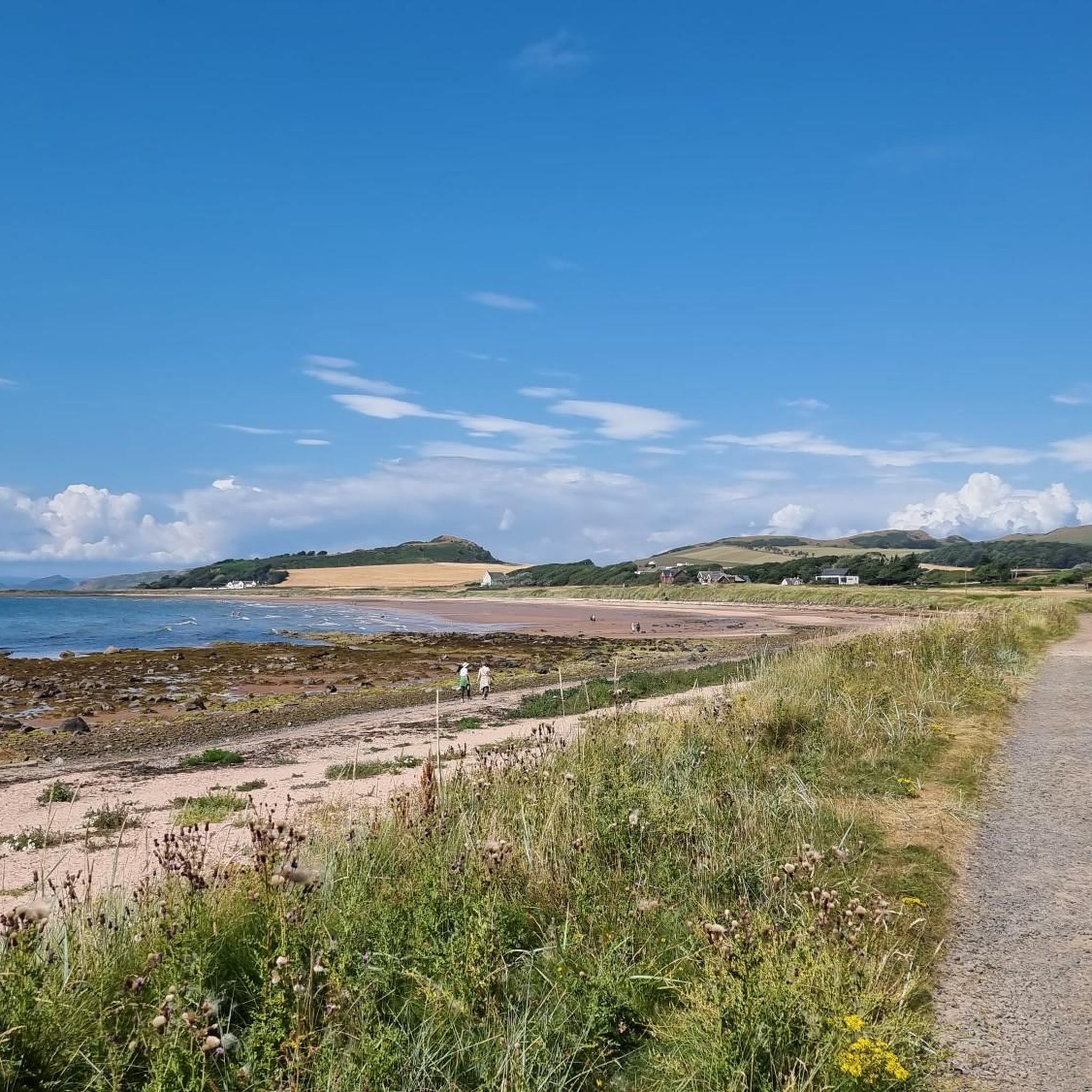
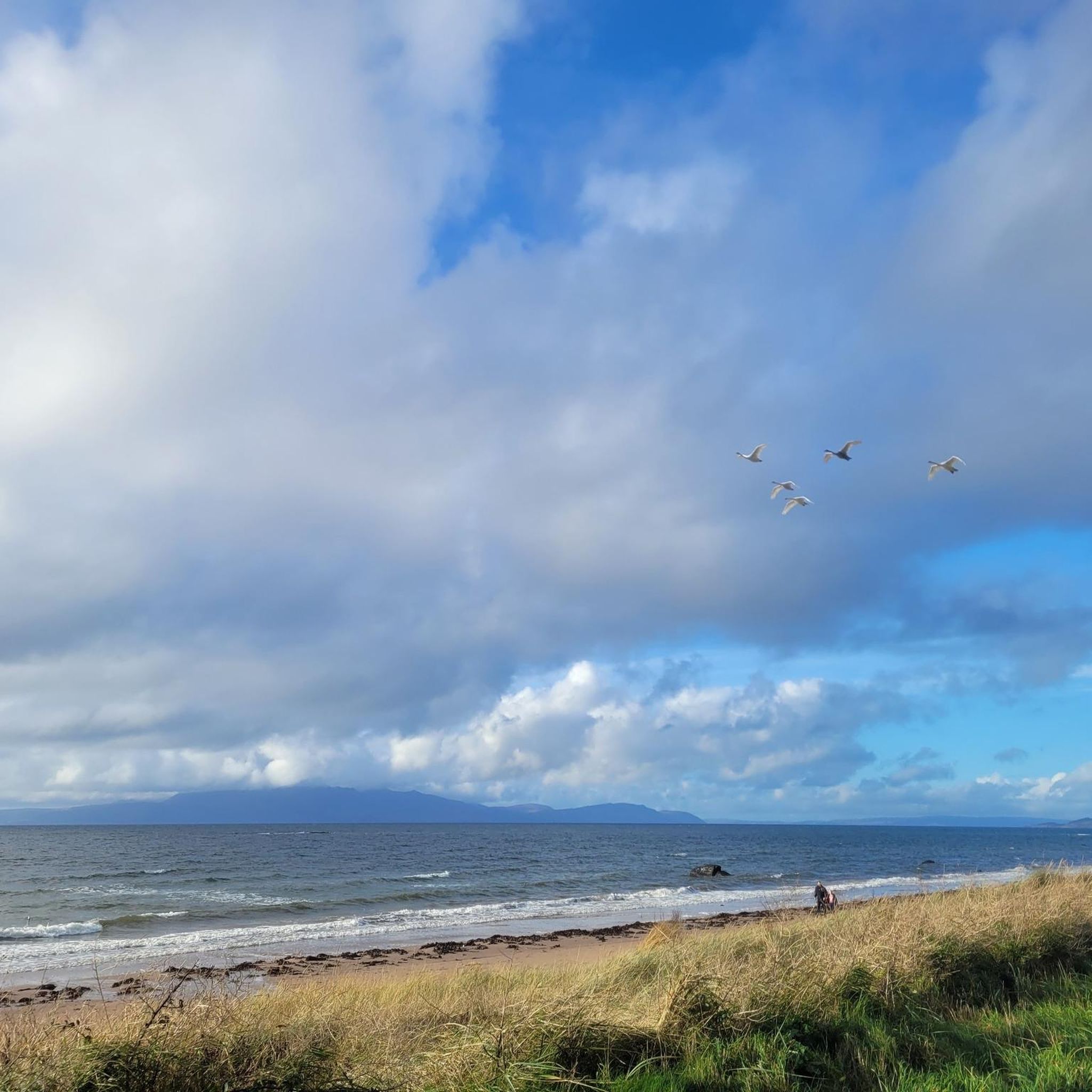
The coastal walks feature expansive sandy beaches, views across the Firth of Clyde towards the Isle of Arran, and the bustling Ardrossan Harbour. You'll experience a mix of natural shoreline and maritime activity, with grassy areas perfect for a rest stop.
Are there any longer coastal walks I can do?
For those looking for a longer coastal hike, the South Beach Ardrossan loop from Ardrossan South Beach is a moderate 5.9-mile (9.4 km) route. It extends further along the shoreline, offering a more immersive coastal experience.
How many hiking trails are there around Ardrossan?
There are over a dozen curated hiking routes to explore in the immediate Ardrossan area. The majority of these are rated as easy, with a few moderate options available for those seeking a slightly longer walk.
Can I get to the Isle of Arran for hiking from Ardrossan?
Absolutely. Ardrossan is the primary ferry terminal for the Isle of Arran, often called 'Scotland in Miniature'. The ferry provides direct access to the island's extensive network of trails, from the challenging Goat Fell to sections of the 107-km Arran Coastal Way. You can check the latest ferry schedules on the official CalMac Ferries website.
Most popular attractions around Ardrossan

Get inspired with the komoot mobile app


Explore more
Browse the best Hikes in other regions.
