The best road cycling routes around Airidhantuim
5.0
(2)
146
riders
6
rides
Road cycling routes around Airidhantuim, located on the Isle of Lewis, traverse diverse landscapes including atmospheric moorlands, rolling hills, and dramatic coastlines. The region offers varied terrain suitable for road cyclists, from relatively flat sections to more demanding climbs. Cyclists can experience the rugged beauty of the Outer Hebrides, with routes often providing views of sweeping sandy beaches and the Atlantic. The area is characterized by its unique blend of natural features, making it a distinctive destination for road cycling.
…Last updated: May 16, 2026
5.0
(1)
19
riders
75.7km
03:08
490m
490m
Moderate road ride. Good fitness required. Mostly well-paved surfaces and easy to ride.
20
riders
37.8km
01:38
340m
340m
Moderate road ride. Good fitness required. Mostly well-paved surfaces and easy to ride.

Sign up for free
13
riders
26.9km
01:11
210m
210m
Easy road ride. Great for any fitness level. Mostly well-paved surfaces and easy to ride.
10
riders
26.4km
01:14
300m
300m
Easy road ride. Great for any fitness level. Mostly well-paved surfaces and easy to ride.
5
riders
16.3km
00:41
130m
130m
Easy road ride. Great for any fitness level. Mostly well-paved surfaces and easy to ride.
Our route recommendations are based on thousands of hikes, rides, and runs completed by other people on komoot.
Start today with a free account
Your next adventure awaits.
Login or Signup
Popular around Airidhantuim
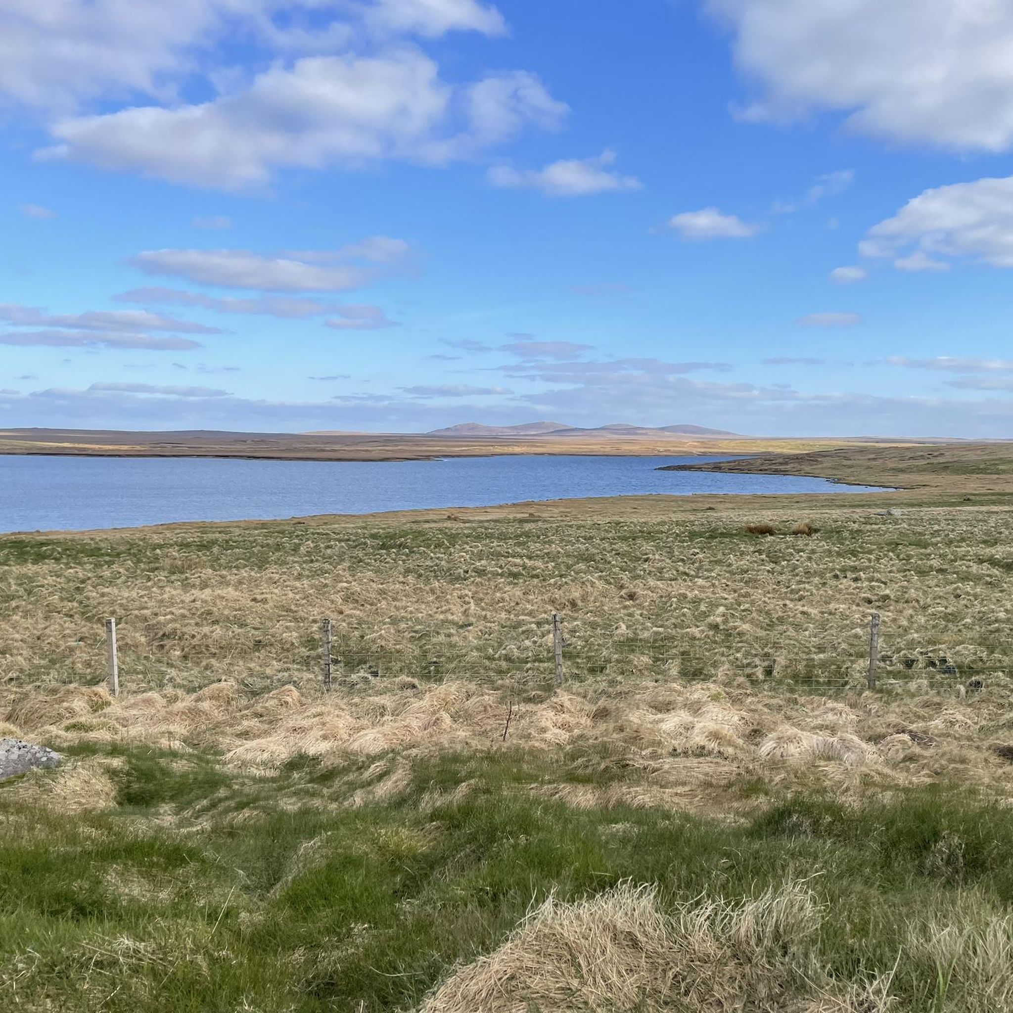
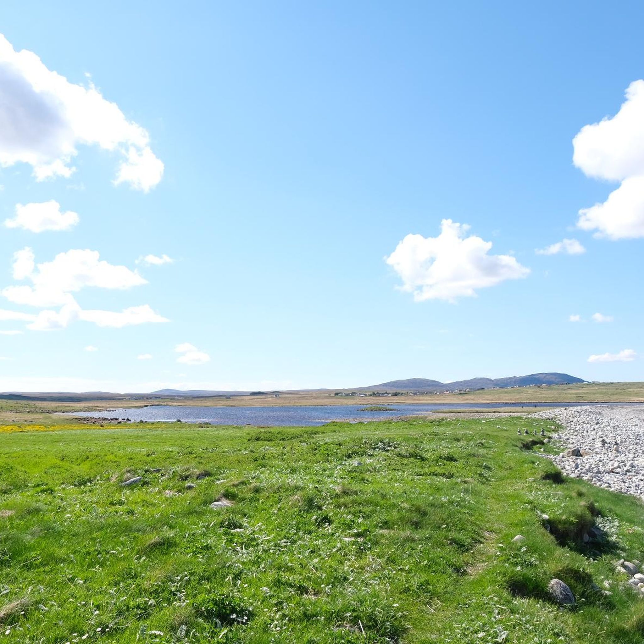
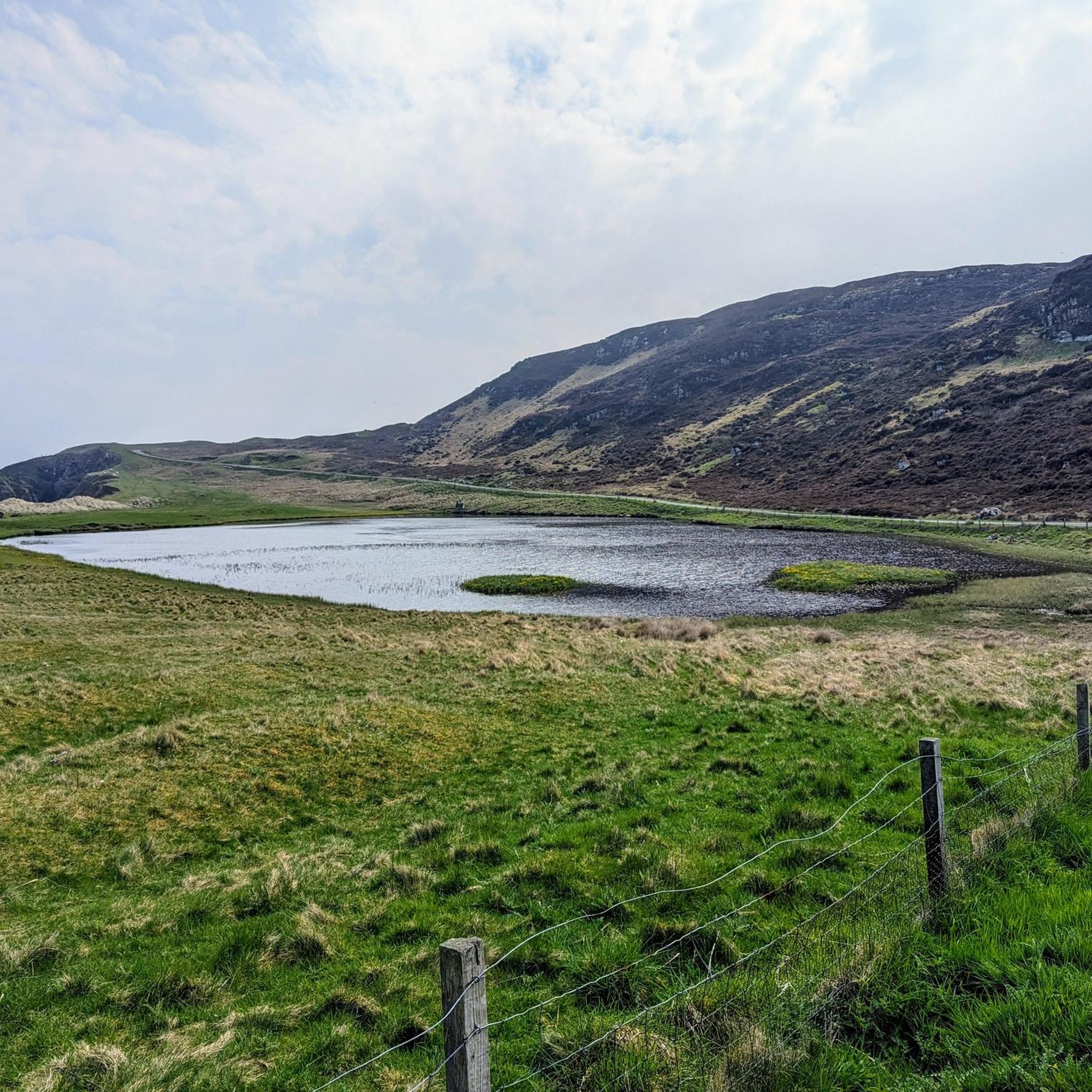
Tips from the Community

Maybe the nicest and one of the more remote beaches on the Outee Hebrides with impressive standing rocks. A must see!
1
0

Recommended reading: Peter May's *The Blackhouse* (also available in German) is set right here. After reading it, you'll see the place in a completely different light.
0
0

Check the tides beforehand! At low tide, you can enter the cave dry-footed; at high tide, you'll have to climb and/or swim (but you'll be on your own).
1
0

While the road becomes narrow, it is still very safe to ride with any kind of bike. Go slowly to enjoy the magnificent views during the decent to Garry Beach. Next time I will bring my tent.
1
0
Picturesque harbor and a beautiful beach with an adjacent restaurant-café.
0
0

Stornoway, Scottish Gaelic Steòrnabhagh, is the main town on the island of Lewis and Harris and, with 8,000 inhabitants, the most important town in the Outer Hebrides off the west coast of Scotland.
4
1
This port has a simple slipway only but apart from that presents itself as a tiny beach perfectly embedded between the rocks. Shallow water invites for a swim.
2
0
It is easy for me to write, that Garry Beach is the nicest arrangement of natural elements forming a beach I have seen in my life. Still puzzled.
3
0
Frequently Asked Questions
How many road cycling routes are available around Airidhantuim?
There are over 5 road cycling routes around Airidhantuim listed on komoot, offering a variety of experiences across the Isle of Lewis. These routes traverse diverse landscapes, including atmospheric moorlands, rolling hills, and dramatic coastlines.
What kind of terrain can I expect on road cycling routes in Airidhantuim?
Road cycling in Airidhantuim offers varied terrain. You'll find atmospheric moorland, coastal paths, and rolling hills. While some sections are relatively flat, particularly in the north of Lewis, areas like Uig and Bernera Districts, and the hills of Harris, present more demanding climbs. The region is known for its rugged beauty and serene environments.
Are there routes suitable for beginners or those looking for an easier ride?
Yes, there are routes suitable for different ability levels. For an easier ride, consider the Martin's Memorial Church – BeSpoke Bike Shop & Café loop from Back, which is 16.7 miles (26.9 km) and leads through local communities and open landscapes. Another easy option is the View of Garry Beach – Garry Beach loop from Back, covering 26.4 miles (42.5 km) with coastal views.
Are there challenging routes for experienced road cyclists?
Experienced road cyclists can find challenging routes, especially those that incorporate the rolling hills and more rugged sections of the island. The BeSpoke Bike Shop & Café – Carloway Community Shop & Café loop from Back is a moderate 47.1 miles (75.7 km) route with significant elevation gain, offering extensive views across the island's varied terrain.
What natural features or landmarks can I see while cycling around Airidhantuim?
While cycling, you can encounter stunning natural features and historical sites. Highlights include the dramatic coastline, sweeping sandy beaches like Tràigh Mhòr Beach, and atmospheric moorlands. You might also pass by the Traigh Ghioradail Arch or the Steinacleit Prehistoric Site. The Lewis Moor Nature Reserve also offers unique landscapes.
When is the best time of year to go road cycling in Airidhantuim?
The Outer Hebrides, including Airidhantuim, are beautiful year-round, but summer offers the best conditions for road cycling with milder weather and longer daylight hours. The machair plains are adorned with wildflowers in summer, and the moorlands turn heather-purple in late summer, providing stunning scenery. Minimal traffic on many island roads makes for pleasant riding.
Is public transport available to access road cycling routes in Airidhantuim?
The Outer Hebrides have some public transport options, primarily bus services connecting major towns and villages. However, for accessing specific road cycling routes directly from Airidhantuim, it's advisable to check local bus schedules and routes, as services can be less frequent in rural areas. For broader travel information, you can consult Visit Outer Hebrides.
Are there good parking options near the cycling routes?
Many road cycling routes in Airidhantuim and the wider Isle of Lewis start from or pass through villages and points of interest where parking is generally available. For example, routes like the Port of Ness Harbour and Beach – Butt of Lewis Lighthouse loop from Borve would likely have parking near the starting points or at key attractions like the Butt of Lewis Lighthouse.
What do other cyclists say about the routes in Airidhantuim?
The road cycling routes in Airidhantuim are highly rated by the komoot community, with an average score of 5.0 stars from 2 reviews. Over 100 road cyclists have used komoot to explore the varied terrain, often praising the unique blend of natural features and the sense of wild adventure the region offers.
Are there any long-distance cycling options that connect to Airidhantuim?
While Airidhantuim offers excellent local routes, the iconic Hebridean Way Cycling Route traverses 185 miles across 10 islands, 6 causeways, and 2 ferries. This long-distance option provides a comprehensive exploration of the Outer Hebrides, and sections of it would be accessible from the Isle of Lewis, offering a grander adventure for keen road cyclists.
What other outdoor activities can I combine with a road cycling trip in Airidhantuim?
Beyond cycling, the region offers a wealth of outdoor activities. You can explore historic sites like the Calanais Standing Stones or the Gearrannan Blackhouse Village. The islands are also great for watersports such as kayaking, coasteering, surfing, and wild swimming. Opportunities for walking and hiking, from short rambles to strenuous mountain climbs, are abundant. For more ideas, visit Visit Outer Hebrides.
Can I find cafes or places to rest along the road cycling routes?
Yes, several routes pass through or near communities where you can find cafes and shops. For instance, the BeSpoke Bike Shop & Café – Carloway Community Shop & Café loop from Back explicitly mentions a bike shop and café, indicating places for refreshments. Planning your route with komoot allows you to identify such stops along the way.
Most popular routes around Airidhantuim
Most popular attractions around Airidhantuim

Get inspired with the komoot mobile app


Explore more
Browse the best Road cycling routes in other regions.
