The best road cycling routes around Morvern
4.8
(27)
1,714
riders
34
rides
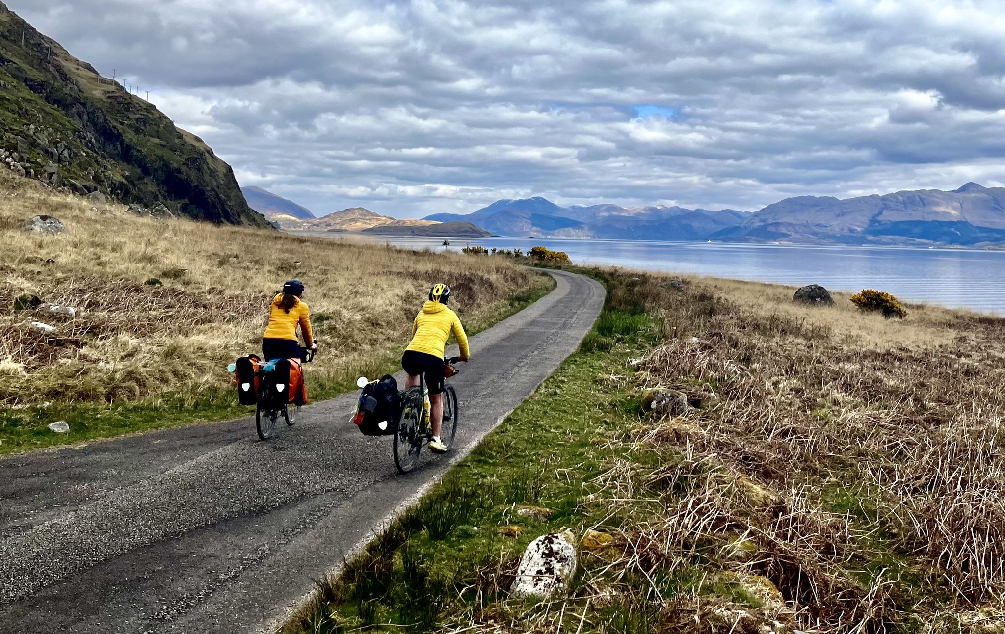
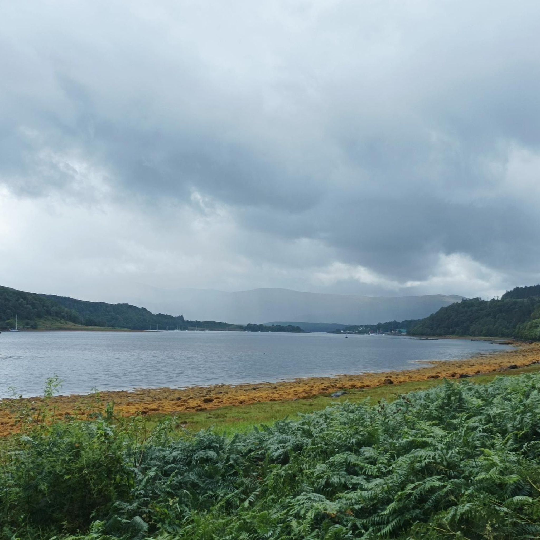
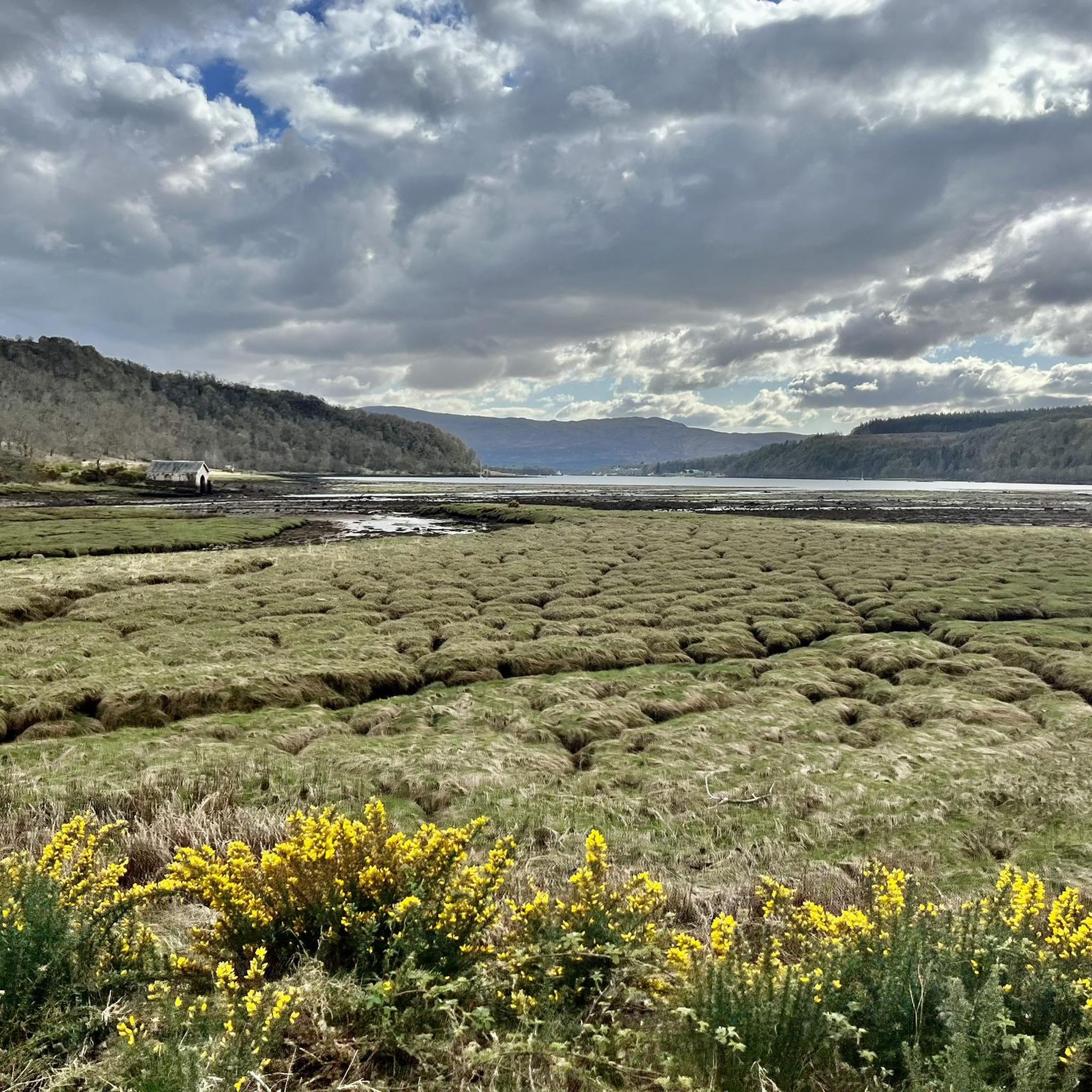
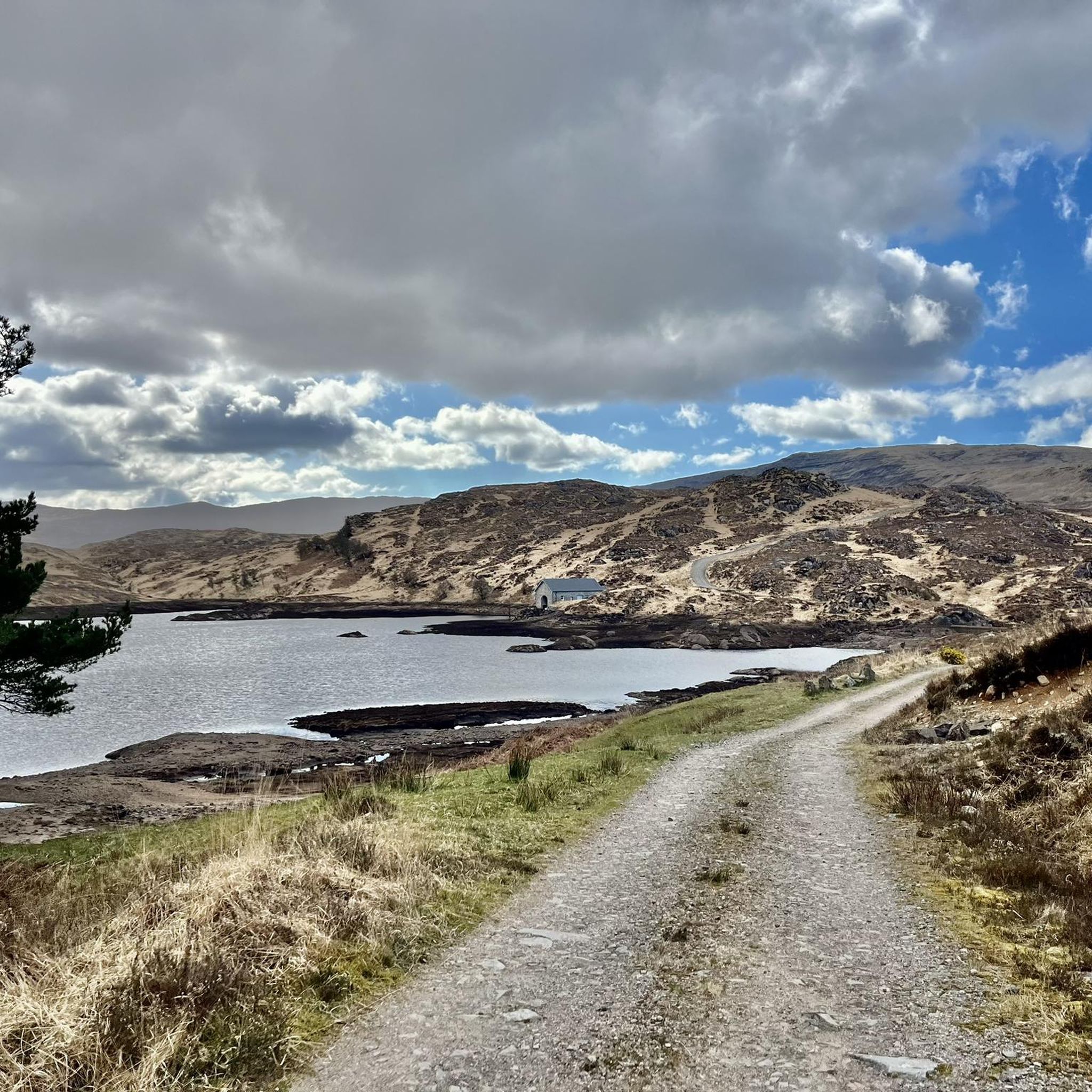
Road cycling routes around Morvern traverse a remote peninsula on Scotland's west coast, characterized by its mountainous terrain and diverse natural features. The region includes hills, ancient woodlands, vast moorland, and extensive shorelines along the Sound of Mull, Loch Sunart, and Loch Linnhe. Cyclists encounter varied topography, from quiet, often single-track roads to challenging climbs, set against a backdrop of dramatic landscapes.
Best road cycling routes around Morvern
- The most popular road cycling route is The Coffee Pot Café – View of Aros Castle loop from Garmony Burn, a 34.4 miles (55.3 km) trail that takes 2 hours 26 minutes to complete. This moderate route offers views towards Aros Castle and coastal scenery.
- Another top favourite among local road cyclists is Loch Linnhe Scenic Ride – Coastal Climb loop from Sàilean nan Cuileag, a difficult 80.2 miles (129.1 km) path. This route features significant elevation gain along the scenic shores of Loch Linnhe.
- Local road cyclists also love the Calgary Bay – View of Aros Castle loop from Kinlochaline Castle, a 63.4 miles (102.0 km) trail leading through varied landscapes, often completed in about 4 hours 30 minutes.
- Road cycling around Morvern is defined by mountainous terrain, ancient woodlands, and extensive sea lochs. The network offers options for easy, moderate, and difficult routes, catering to different ability levels.
- The routes in Morvern are highly rated by the komoot community with an average score of 4.8 stars from more than 20 reviews. More than 1,700 road cyclists have used komoot to explore Morvern's varied terrain.
Last updated: July 7, 2026
5.0
(3)
242
riders
139km
06:20
1,570m
1,570m
Embark on the Isle of Mull Long Sportive loop from Craignure, a challenging road cycling adventure that circumnavigates the island. This difficult route spans 86.7 miles (139.5 km) and features a significant elevation gain of 5156 feet (1571 metres), typically taking around 6 hours and 19 minutes to complete. You will ride predominantly on quiet, single-lane roads, with some unpaved segments that might require pushing your bike, as you traverse a mix of challenging hills and flatter sections, especially along the Ross of Mull. Expect extensive views of mountains, beaches, sea lochs, and dramatic cliffs, with coastal roads offering vistas of the sea and sandy coves.
While the route is generally well-signposted with few junctions, planning is key for this demanding ride. The research mentions that during organized events, refreshment stops and first-aid support are available, but you should prepare to be self-sufficient on a regular ride. The A849 across the southern part of the island offers a reasonable surface and spectacular scenery, but be ready for undulating terrain. Given the difficulty and length, ensure you have very good fitness before attempting this loop.
This loop is celebrated as one of Scotland's best cycling roads and has been called 'the UK's most scenic sportive'. It offers a comprehensive tour of the Hebridean isle, showcasing its varied landscapes and renowned wildlife, including soaring sea eagles and golden eagles. The Isle of Mull Sportive event often uses a similar long route, contributing to local charities, highlighting the community spirit around this iconic ride.
4.5
(8)
233
riders
69.9km
03:18
950m
960m
Embark on the Isle of Mull Short Sportive loop from Tobermory, a challenging road cycling adventure that takes you through the island's rugged beauty. This difficult route spans 43.4 miles (69.9 km), demanding good fitness as you ascend a total of 3128 feet (953 metres) over approximately 3 hours and 18 minutes. You will cycle past dramatic valleys and along the coast, with opportunities to spot wildlife like sea eagles. Keep an eye out for the impressive Eas Fors Waterfall and the pristine white sands of Calgary beach as you navigate the diverse landscapes.
When planning your ride, be aware that this route uses quiet, often single-track roads. You should expect bumpy surfaces and challenging climbs, some of which can exceed a 20% gradient. Ensure you have adequate fitness and the right gear to handle these conditions. While longer sportive courses on Mull have faced cancellations due to rockfall, this specific loop remains open for individual exploration.
This route offers a true taste of the Scottish countryside, showcasing Mull's unique character. The challenging Dervaig Climb on the B8073 will test your legs, but it rewards you with incredible vistas across the island. The varied terrain and coastal stretches make this a memorable ride for experienced cyclists looking for a demanding yet scenic journey.

Sign up for free
5.0
(2)
64
riders
136km
05:46
1,110m
1,110m
Embark on a challenging road cycling adventure with The Ross of Mull loop from Craignure Ferry Port. This difficult 84.5-mile (135.9 km) route, featuring 3628 feet (1106 metres) of elevation gain, offers a deep dive into the southern Isle of Mull. You will spend around 5 hours and 45 minutes traversing dramatic island landscapes, where rugged cliffs meet picturesque lochs. As you cycle, keep an eye out for glimpses of Ben More, Mull's only Munro, and the distant Treshnish Islands. The route provides numerous viewpoints to soak in the coastal scenery and the wild environment of the Sound of Jura Marine Protected Area.
When planning your ride, be aware that main roads, particularly those close to ferry terminals, can experience heavy traffic. Many sections of this route are single-track roads, so vigilance is key. You will need to use passing places to allow vehicles to flow smoothly. Consider the route's difficulty and elevation when preparing your gear and assessing your fitness level.
This loop offers a comprehensive exploration of the island's southern reaches, showcasing its unique natural environment. You might spot local wildlife, including eagles and otters, as you pass through diverse habitats. The trail takes you through the stunning Loch Sunart area, leading towards the Sound of Jura Marine Protected Area. It's a journey through a truly wild and captivating part of Scotland.
5.0
(1)
154
riders
55.3km
02:27
550m
550m
Moderate road ride. Good fitness required. Mostly well-paved surfaces and easy to ride.
76
riders
129km
05:36
1,120m
1,120m
Hard road ride. Very good fitness required. Mostly well-paved surfaces and easy to ride.
Get access to more routes and recommendations from other explorers.
Sign up for free
Already have an account?
Our route recommendations are based on thousands of hikes, rides, and runs completed by other people on komoot.
Start today with a free account
Your next adventure awaits.
Login or Signup

Other adventures around Morvern

Tips from the Community

This is great! Very tasty sandwiches and coffee/tea. Ideal lunch stop during a hike. Also delicious cakes. Reasonably many places outside at the front and to the left of the building.
4
0
Visiting a whisky distillery during a hike is not always a good idea. Tasting is part of it, and whisky is a strong spirit, and you'll feel that in your legs quickly.
4
0
The Eas Fors waterfall is one of the most spectacular waterfalls on the island, located just off the B8073, a few kilometres north of Ulva Ferry. There is a captivating view over Loch Tuath towards the island of Ulva. The place name 'Eas Fors Waterfall' is tautological, as all three words are synonyms. This often happens when a name is taken from one language and a standard description from that second language is added. Eas is Gaelic for waterfall, Fors is Norse for waterfall, so you could say Eas Fors Waterfall makes the meaning somewhat redundant! (isle-of-mull.net)
6
0

Great cafe and one of the limited options away from Tobermory. I was wild camping with no cooking gear so this place was a life saver for me! Soup, panini, sausage roll and crisps all hit the spot
1
0

A stunning location for camping, glamping, caravanning and touring. Seasonal opening hours.
0
0
A wee cafe + farm shop. Seasonal opening hours, so check before turning up.
0
0

Small ferry from Craignure to Oban. The crossing for one person cost £3.90 in 2023 – bicycles were free.
0
0

Frequently Asked Questions
How many road cycling routes are available in Morvern?
Morvern offers a diverse selection of over 35 road cycling routes, catering to various skill levels. These include 3 easy routes, 27 moderate routes, and 7 difficult routes, ensuring there's something for every cyclist.
What kind of terrain can I expect on Morvern's road cycling routes?
The road cycling routes in Morvern feature a mountainous terrain with significant elevation gains, offering challenging climbs and varied scenery. You'll encounter ancient woodlands, vast moorland, and stunning shorelines along sea lochs like the Sound of Mull, Loch Sunart, and Loch Linnhe. The roads are often quiet, single-track with passing places, providing a peaceful cycling experience.
Are there challenging road cycling routes in Morvern for experienced riders?
Yes, Morvern provides excellent opportunities for experienced riders seeking a challenge. Routes like the Loch Linnhe Scenic Ride – Coastal Climb loop from Sàilean nan Cuileag, a difficult 80.2-mile path with over 1100 meters of elevation gain, are perfect for those looking for demanding climbs and long distances. The mountainous nature of the area ensures plenty of invigorating ascents.
Are there any easier or family-friendly road cycling options in Morvern?
While many routes offer significant climbs, Morvern does have options suitable for easier rides. There are 3 routes classified as easy, and many moderate routes can be adapted or enjoyed at a leisurely pace. The quiet, low-traffic roads make for a safer and more relaxed experience, though specific family-friendly routes might require careful selection based on distance and elevation.
What natural features or landmarks can I see along Morvern's road cycling routes?
Morvern's routes are rich with natural beauty. You can cycle past ancient woodlands like Morvern Woods, vast moorlands, and dramatic coastlines along the Sound of Mull and Loch Linnhe. Keep an eye out for unique geological features such as Clach na Criche, a broken rock wall formed by ancient lava flows. The View of Loch na Keal – View of Aros Castle loop from Arle offers scenic vistas of Loch na Keal.
Are there any historical sites to explore while cycling in Morvern?
Yes, Morvern is home to several historical sites. You can find the ruins of 13th-century Aros Castle and Kinlochaline Castle. Kiel Church also houses medieval grave slabs. Additionally, the remains of 'clearance villages' can be spotted on hillsides, offering a glimpse into the region's past. The Calgary Bay – View of Aros Castle loop from Kinlochaline Castle passes by some of these historic points.
What is the best time of year for road cycling in Morvern?
The best time for road cycling in Morvern is generally from spring to autumn (April to October) when the weather is milder and daylight hours are longer. The diverse habitats, including ancient woodlands and moorland, offer varied scenery throughout these seasons. However, be prepared for changeable Scottish weather at any time of year.
Are there cafes or places to stop for refreshments along the routes?
While Morvern is remote, there are a few places to stop. Lochaline, the main village, offers essential services. The The Coffee Pot Café – View of Aros Castle loop from Garmony Burn route specifically mentions a cafe. The Nc'nean Distillery in Drimnin also offers tours and contributes to local vibrancy. It's always advisable to carry sufficient water and snacks, especially on longer routes.
What do other road cyclists enjoy most about cycling in Morvern?
The road cycling routes in Morvern are highly rated by the komoot community, with an average score of 4.8 stars from over 20 reviews. Cyclists often praise the tranquil, low-traffic roads, the stunning and dramatic landscapes, and the opportunity to experience Scotland's wild and remote charm. The varied topography, from challenging climbs to scenic coastal stretches, is also a significant draw.
Are there scenic circular road cycling routes in Morvern?
Yes, Morvern and the broader West Highland Peninsulas offer several scenic circular routes suitable for road cyclists. These loops allow you to experience the diverse landscapes, from mountainous interiors to breathtaking shorelines, without retracing your path. Many of the routes listed, such as the Wildlife Hide – Kinlochaline Castle loop from Kinlochaline Castle, are designed as loops.
Can I combine road cycling in Morvern with a trip to the Isle of Mull?
Absolutely. The ferry from Lochaline provides easy access to Fishnish on the Isle of Mull. This allows cyclists to extend their adventure and explore additional routes on Mull, including the famous 'Tour of Mull,' and visit attractions like Tobermory, making for a fantastic multi-day cycling experience.
Most popular attractions around Morvern

Get inspired with the komoot mobile app


Explore more
Browse the best Road cycling routes in other regions.
