The best walks and hikes around Berriedale And Dunbeath
4.2
(23)
138
hikers
13
hikes
Hiking routes in Berriedale And Dunbeath, situated on Scotland's east coast in Caithness, offer diverse landscapes for outdoor exploration. The region is characterized by deep glens where rivers like Dunbeath Water and Berriedale Water meet the sea, forming dramatic V-shaped valleys. Rugged coastal cliffs, pebble beaches, and ancient woodlands of birch and hazel define the terrain, providing varied walking trails. These features contribute to a landscape rich in natural beauty and historical sites.
Best hiking trails around Berriedale And Dunbeath
…Last updated: October 3, 2026
4.5
(2)
4
hikers
9.60km
02:57
360m
360m
Hike the moderate 6.0-mile Helmsdale to Creag Thoraraidh Peak trail for panoramic views of the Scottish Highlands and North Sea.
3.0
(1)
9
hikers
3.74km
00:57
10m
10m
Easy hike. Great for any fitness level. Easily-accessible paths. Suitable for all skill levels.

Easy hike. Great for any fitness level. Easily-accessible paths. Suitable for all skill levels.
6.02km
01:41
120m
120m
Easy hike. Great for any fitness level. Easily-accessible paths. Suitable for all skill levels.
4.6
(8)
37
hikers
5.59km
01:33
100m
100m
Easy hike. Great for any fitness level. Easily-accessible paths. Suitable for all skill levels.
Get access to more routes and recommendations from other explorers.
Already have an account?
Our route recommendations are based on thousands of hikes, rides, and runs completed by other people on komoot.
Start today with a free account
Your next adventure awaits.
Popular around Berriedale And Dunbeath
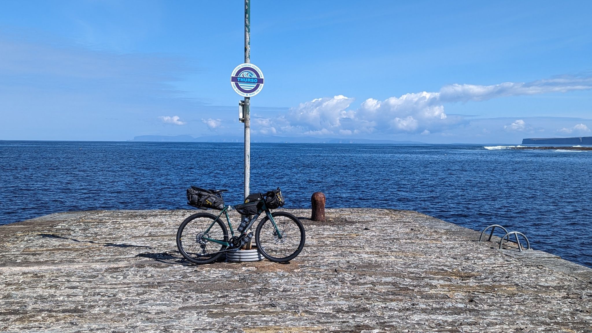

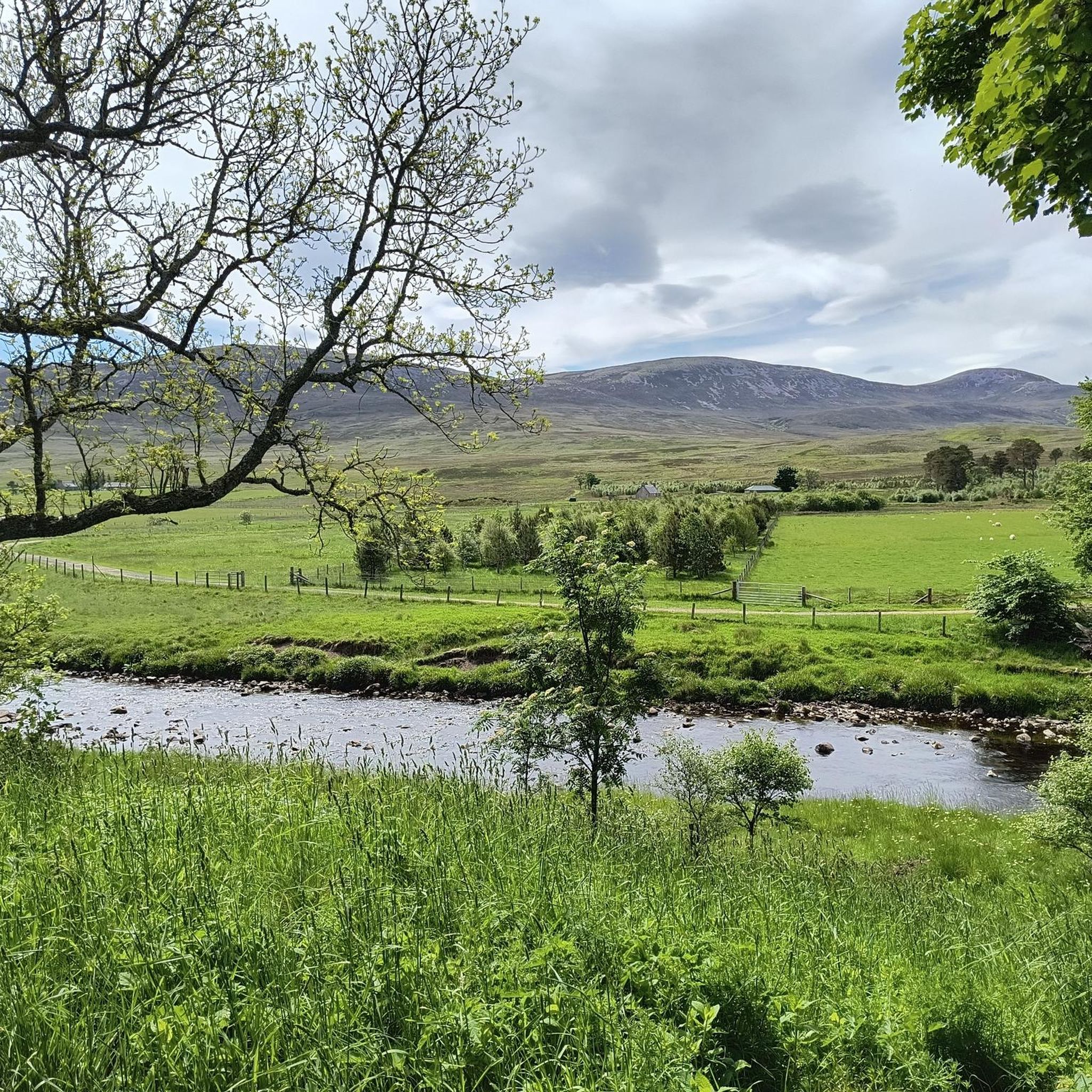


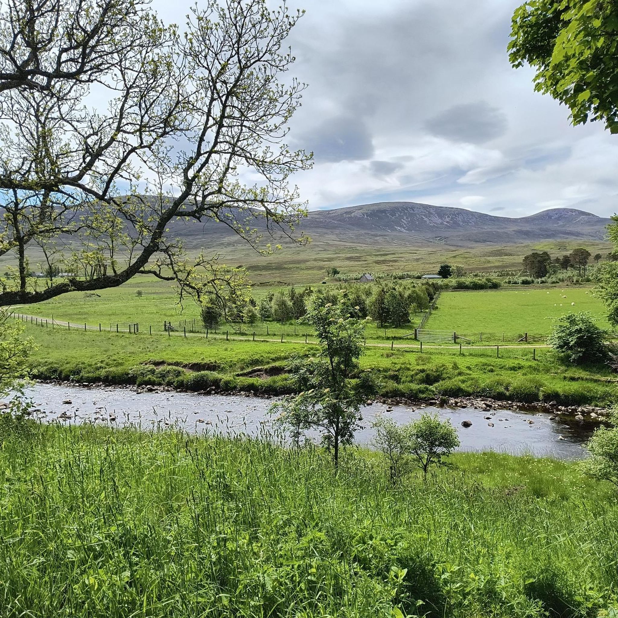


Tips from the Community

Helmsdale was practically born around fishing. The port was built in 1818 and during the 19th century it became one of the important herring fishing centers in Scotland. There were years when tens of thousands of barrels of herring were prepared and exported from this small locality: in 1867, more than 45,000 barrels were registered in the district. Around the port there were warehouses, fishermen's houses and buildings where the fish was cleaned, salted and prepared. It is hard to imagine such activity seeing this small and quiet port today.
0
0

The SPAR is world-class! It even has my blister plasters!
0
0


Sleepy, quiet corner - perfect for letting your soul wander 😇 Mystical in the fog. 🫶
0
0

The great view after the short climb is definitely worth the effort!
0
0

Dunbeath also has a harbour that was built in the early 1800s to cash in on the boom in herring fishing. Up to 100 boats used to operate from the village. Dunbeath’s harbour is now much quieter but it does provide an excellent viewpoint for the prominent 15th century Dunbeath Castle that stands above cliffs on a peninsular to the south of the village looking like a white sentinel.
0
0
Frequently Asked Questions
How many hiking trails are available in Berriedale And Dunbeath?
There are over 10 hiking routes in the Berriedale And Dunbeath area, offering a variety of experiences from coastal paths to glen explorations. The komoot community has rated these trails with an average of 3.9 stars.
Are there hiking options for beginners or those looking for an easy walk?
Yes, the region is very welcoming for beginners and those seeking easier walks. Out of the 13 available routes, 11 are classified as easy. An excellent option is the Dunbeath Village to Dunbeath Broch via Dunbeath Strath Heritage Trail, which is an easy 1.3-mile path exploring historical sites.
What kind of landscapes and natural features can I expect on hikes in Berriedale And Dunbeath?
Hikes in Berriedale And Dunbeath offer a diverse range of landscapes. You'll encounter dramatic coastal cliffs, deep V-shaped glens carved by rivers like the Dunbeath Water and Berriedale Water, and tranquil woodlands of birch and hazel. Pebble beaches, historic sites, and open moorland also characterize the terrain, providing varied scenery for exploration.
When is the best time of year to go hiking in Berriedale And Dunbeath?
The spring and summer months (roughly April to September) are generally the best for hiking in Berriedale And Dunbeath. During this time, wildflowers bloom in areas like Dunbeath Strath, and the weather is typically milder, making coastal and glen walks more enjoyable. It's also a great time for spotting seabirds on the cliffs.
Are there any historical sites or ancient ruins to explore along the trails?
Absolutely. The region is rich in history. You can explore the site of a medieval monastery on Chapel Hill, a renovated meal mill, and a well-preserved Iron Age broch along the Dunbeath Strath. The ruins of Ousdale Broch are also nearby, offering a glimpse into ancient settlements. Additionally, the remains of Berriedale Castle are located on a promontory overlooking the Berriedale Water.
Can I spot any wildlife while hiking in this area?
Yes, Berriedale And Dunbeath are excellent for wildlife spotting. The birch and hazel woodlands in Dunbeath Strath are home to various small birds. The Berriedale Cliffs are internationally important for seabird colonies, including razorbills, guillemots, kittiwakes, and fulmars. You might also spot grey and common seals along the coast, and keep an eye out for golden eagles or buzzards soaring overhead.
Are there any coastal walks or trails with sea views?
Many trails in the area offer stunning sea views and coastal experiences. The Smerral to Latheronwheel Harbour route, for example, takes you through coastal landscapes. You can also enjoy invigorating sea views from Berriedale's pebble beach and harbor, and the dramatic clifftops of the Berriedale Cliffs SSSI.
What are some notable attractions or points of interest near the hiking routes?
Beyond the trails, you can visit the Dunbeath Village itself, which hosts the Dunbeath Heritage Centre, offering insights into local history and the works of author Neil Gunn. The Laidhay Croft Museum provides a glimpse into traditional life. For dramatic views, the View from the Ord of Caithness is a highlight, and the Badbea Clearance Village offers a poignant historical experience.
Are there any long-distance trails that pass through Berriedale And Dunbeath?
Yes, parts of the John o' Groats Trail pass through the Berriedale area, offering opportunities for longer coastal walks. The Helmsdale to Navidale Bay via John o' Groats Trail is one such route, providing a taste of this extensive coastal journey.
What do other hikers enjoy most about the trails in Berriedale And Dunbeath?
The trails in Berriedale And Dunbeath are highly rated by the komoot community, with an average score of 3.9 stars. Hikers often praise the dramatic coastal scenery, the peaceful exploration of deep glens, and the rich historical context found along routes like the Dunbeath Strath Heritage Trail. The variety of terrain and opportunities for wildlife spotting are also frequently highlighted.
Are there any challenging hikes for experienced trekkers?
While most routes are easy, there are options for those seeking a more challenging experience. The Helmsdale to Creag Thoraraidh Peak is a moderate 6.0-mile path with a significant elevation gain, rewarding hikers with expansive views from the peak.
Most popular routes around Berriedale And Dunbeath
Most popular attractions around Berriedale And Dunbeath

Get inspired with the komoot mobile app


Explore more
Browse the best Hikes in other regions.
