The best road cycling routes around Whiteinch
4.4
(477)
19,127
riders
555
rides
Road cycling routes around Whiteinch, situated in Glasgow's West End, offer access to extensive cycling networks. The area provides connections to the River Clyde and the broader National Cycle Network, including NCN7 and NCN75, which feature traffic-free paths. Cyclists can also access the Forth & Clyde Canal for additional towpath cycling opportunities. Green spaces like Victoria Park, with its dedicated cycle route, contribute to the varied terrain available for road cycling.
Best road cycling routes around Whiteinch
- The most popular…
Last updated: May 15, 2026
4.5
(17)
392
riders
49.4km
02:16
430m
430m
Moderate road ride. Good fitness required. Mostly well-paved surfaces and easy to ride.
4.3
(6)
245
riders
46.5km
02:19
540m
540m
Moderate road ride. Good fitness required. Some segments of this route may be unpaved and difficult to ride.

Sign up for free
5.0
(9)
218
riders
48.5km
02:27
590m
590m
Moderate road ride. Good fitness required. Mostly well-paved surfaces and easy to ride.
5.0
(1)
165
riders
75.6km
03:21
580m
580m
Moderate road ride. Good fitness required. Mostly well-paved surfaces and easy to ride.
3.7
(3)
97
riders
53.4km
02:26
520m
520m
Moderate road ride. Good fitness required. Mostly well-paved surfaces and easy to ride.
Get access to more routes and recommendations from other explorers.
Sign up for free
Already have an account?
Our route recommendations are based on thousands of hikes, rides, and runs completed by other people on komoot.
Start today with a free account
Your next adventure awaits.
Login or Signup
Tips from the Community

Distillery in the former drive house of the swing bridge in the port of Glasgow
0
0

One of the most interesting bridges I've ever seen—in my opinion, an architectural masterpiece, magnificent..👍👍
1
0

The distillery hasn't been producing whisky for long. With its modern appearance, the Clydeside Distillery has something to offer. A worthwhile destination, even if other distilleries already have more to offer.
0
0


Stockingfield Junction is a spot along the canal between Maryhill and Ruchill in Glasgow, Scotland. It first opened back in 1777, closed in 1963, and was later restored and reopened in 2022. Originally, it served as a terminus before becoming the junction for the Port Dundas branch off the main line of the Forth and Clyde Canal from 1777.
4
1

Young small distillery with good explanation and rich tasting
0
0

Great coffee in the Spider monkey coffee shop, great food in the Tea Room
0
0

Frequently Asked Questions
How many road cycling routes are available around Whiteinch?
There are over 570 road cycling routes available around Whiteinch, offering a wide range of options for different skill levels and preferences. Over 270 of these are classified as easy, making the area accessible for many cyclists.
Are there easy road cycling routes suitable for beginners or families in Whiteinch?
Yes, Whiteinch provides excellent options for beginners and families. The area offers immediate access to the River Clyde and the National Cycle Network (NCN7 and NCN75), which feature many traffic-free and mostly flat paths. Victoria Park also contains a dedicated cycle route, perfect for leisurely rides.
What kind of scenery can I expect on road cycling routes around Whiteinch?
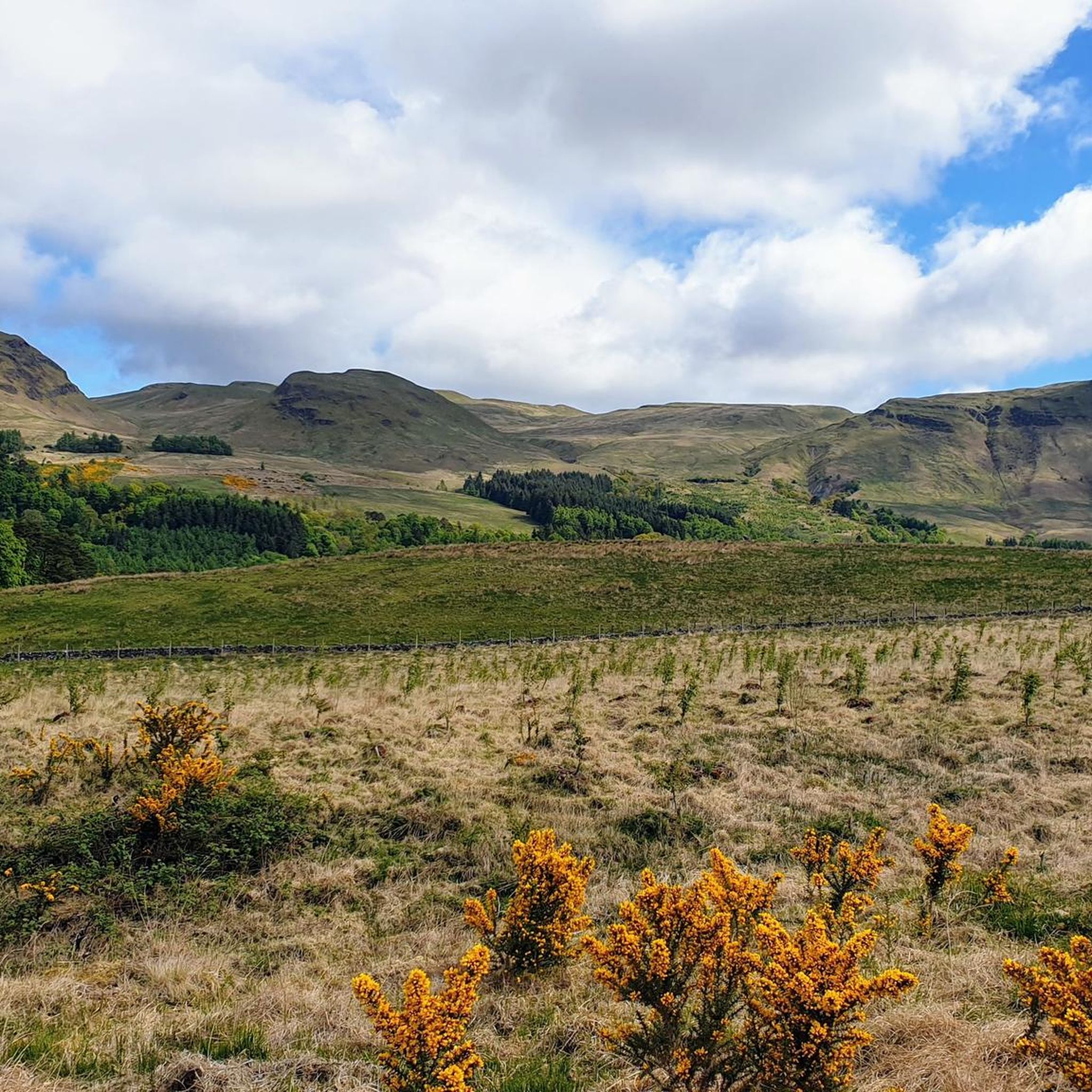
Road cycling around Whiteinch offers diverse scenery, from picturesque riverside paths along the Clyde to traffic-free sections of the National Cycle Network. You'll also find routes through green spaces like Victoria Park and paths that offer views of the Campsie Fells. For example, the View of the Campsie Fells – Blanefield to Carbeth Climb loop from Hyndland provides stunning vistas.
Are there any long-distance road cycling routes starting from Whiteinch?
Yes, Whiteinch is well-connected to longer cycling networks. The Forth & Clyde Canal towpath offers extensive traffic-free cycling opportunities that stretch across Scotland to Edinburgh. Additionally, routes like the Glasgow Tower – White Loch loop from Scotstounhill cover over 75 km, providing a good option for a longer ride.
What are some notable landmarks or attractions I can see while road cycling near Whiteinch?
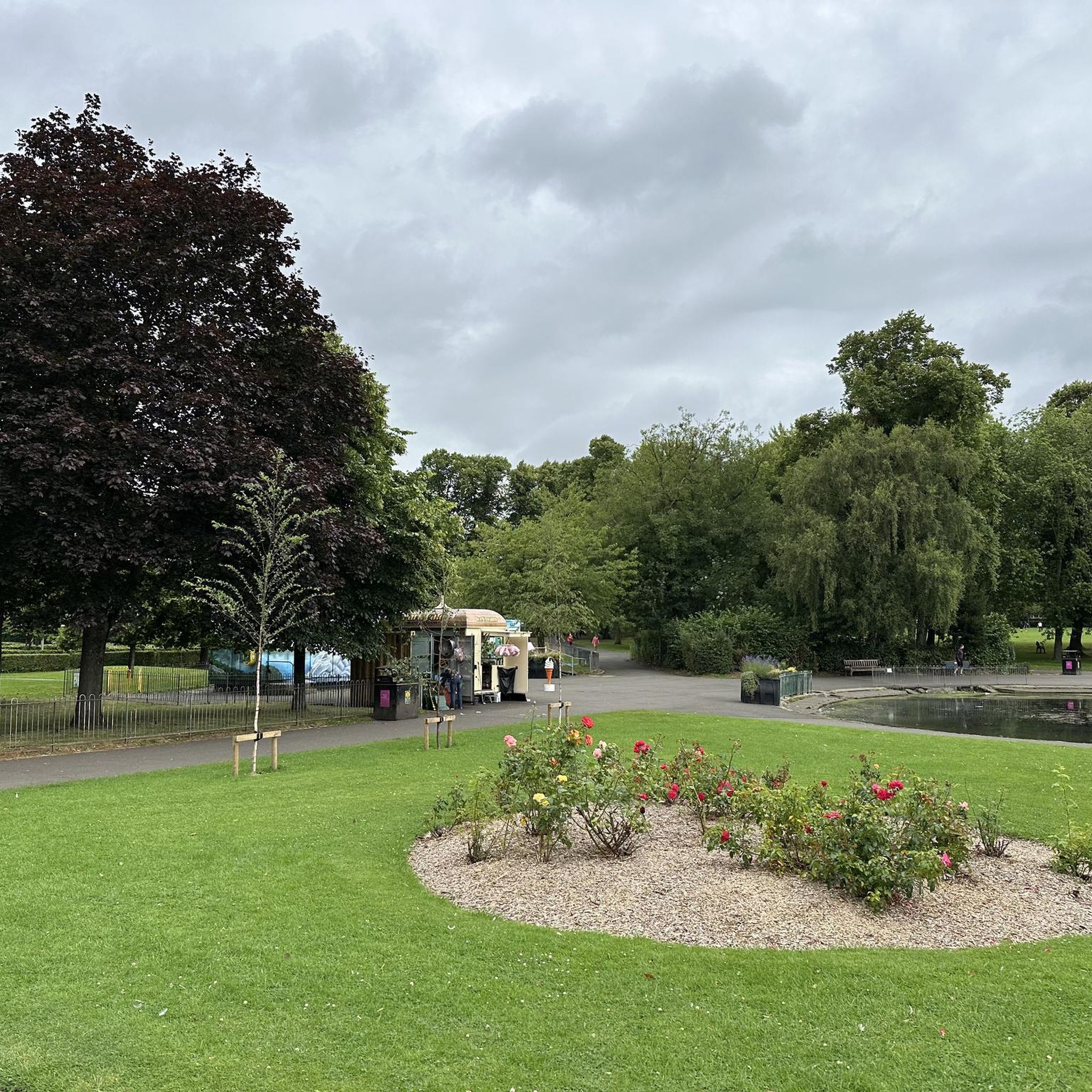
While cycling near Whiteinch, you can encounter several interesting landmarks. Victoria Park, within Whiteinch, features the unique Fossil Grove with 300-million-year-old tree stumps. Routes may also pass by the Forth and Clyde Canal Towpath, offering views of engineering marvels. Further afield, you might spot the George Square or the Duke of Wellington Statue in Glasgow.
Are there any road cycling routes that include cafes or refreshment stops?
Many routes around Whiteinch pass through or near urban areas and towns, providing opportunities for cafe stops. For instance, the Turnip the Beet Deli – Glengoyne Distillery loop from Jordanhill is named after a local deli, suggesting a potential refreshment point along the way. Exploring routes that connect to local villages or Glasgow's West End will offer various options for food and drink.
How accessible is Whiteinch for cyclists using public transport?
Whiteinch is well-integrated into Glasgow's public transport network, making it accessible for cyclists. Many local buses accommodate bikes, and the area's proximity to train stations in Glasgow's West End provides further options for reaching starting points of routes. It's advisable to check specific public transport provider policies regarding bikes during peak hours.
Are there circular road cycling routes available around Whiteinch?
Yes, many of the road cycling routes around Whiteinch are designed as loops, allowing you to start and finish at the same point. Examples include the popular Stockingfield Bridge – View of Glasgow from Crow Road loop from Hyndland and the View of the Campsie Fells – Maryhill Locks loop from Scotstounhill, both offering convenient circular journeys.
What do other road cyclists enjoy most about cycling in Whiteinch?
The road cycling routes around Whiteinch are highly rated by the komoot community, with an average score of 4.4 stars from over 400 reviews. Cyclists often praise the area's access to extensive traffic-free networks, the scenic riverside paths along the Clyde, and the variety of routes suitable for different abilities.
What is the best time of year for road cycling in Whiteinch?
While road cycling can be enjoyed year-round in Whiteinch, the spring and summer months (April to September) generally offer the most pleasant weather conditions with longer daylight hours. Autumn can also be beautiful with changing foliage. Winter cycling is possible, but be prepared for colder temperatures and potentially wet conditions.
Are there any advanced or challenging road cycling routes near Whiteinch?
While many routes are easy to moderate, Whiteinch also offers options for more advanced cyclists. The region's connections to areas with some elevation gain, such as routes leading towards the Campsie Fells, provide opportunities for challenging climbs. There are 45 routes classified as difficult, offering more demanding rides for experienced cyclists.
Most popular routes around Whiteinch
Most popular attractions around Whiteinch

Get inspired with the komoot mobile app


Explore more
Browse the best Road cycling routes in other regions.
