Shared Cadder/Milton/Lambhill/Maryhill/Summerston
Shared Cadder/Milton/Lambhill/Maryhill/Summerston
The best road cycling routes around Shared Cadder/Milton/Lambhill/Maryhill/Summerston
4.4
(597)
17,929
riders
490
rides
Road cycling routes around Shared Cadder/Milton/Lambhill/Maryhill/Summerston are characterized by a blend of urban green spaces and accessible natural features. The region's topography is largely defined by the Forth & Clyde Canal, which provides extensive, mostly flat, and traffic-free pathways suitable for road bikes. Cyclists can experience a mix of canal-side scenery, views towards the Campsie Fells, and connections to Glasgow's wider cycling network.
Best road cycling routes around Shared Cadder/Milton/Lambhill/Maryhill/Summerston
- The most popular road cycling route is Hungryside Bridge –…
Last updated: July 11, 2026
4.8
(25)
673
riders
60.8km
02:52
670m
670m
Embark on a moderate racebike journey with the Lennoxtown loop from Glasgow, a route that spans 37.8 miles (60.8 km) and climbs 2188 feet (667 metres). You can expect to…
4.3
(4)
66
riders
34.1km
01:31
320m
320m
The Lennox Castle loop from Bearsden is a moderate 21.2-mile road cycling route with 1059 feet of elevation gain, featuring scenic views and

Sign up for free
5.0
(9)
497
riders
81.0km
03:59
1,060m
1,060m
Hard road ride. Very good fitness required. Mostly well-paved surfaces and easy to ride.
4.3
(6)
245
riders
46.5km
02:19
540m
540m
Moderate road ride. Good fitness required. Some segments of this route may be unpaved and difficult to ride.
203
riders
107km
04:54
1,240m
1,240m
Hard road ride. Very good fitness required. Mostly well-paved surfaces and easy to ride.
Get access to more routes and recommendations from other explorers.
Sign up for free
Already have an account?
Our route recommendations are based on thousands of hikes, rides, and runs completed by other people on komoot.
Start today with a free account
Your next adventure awaits.
Login or Signup
Popular around Shared Cadder/Milton/Lambhill/Maryhill/Summerston
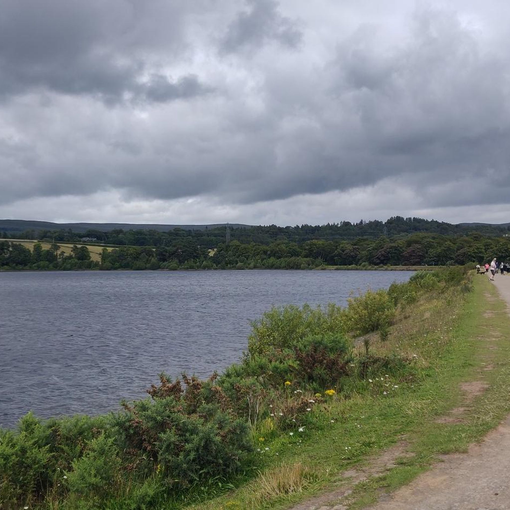
Hiking around Shared Cadder/Milton/Lambhill/Maryhill/Summerston
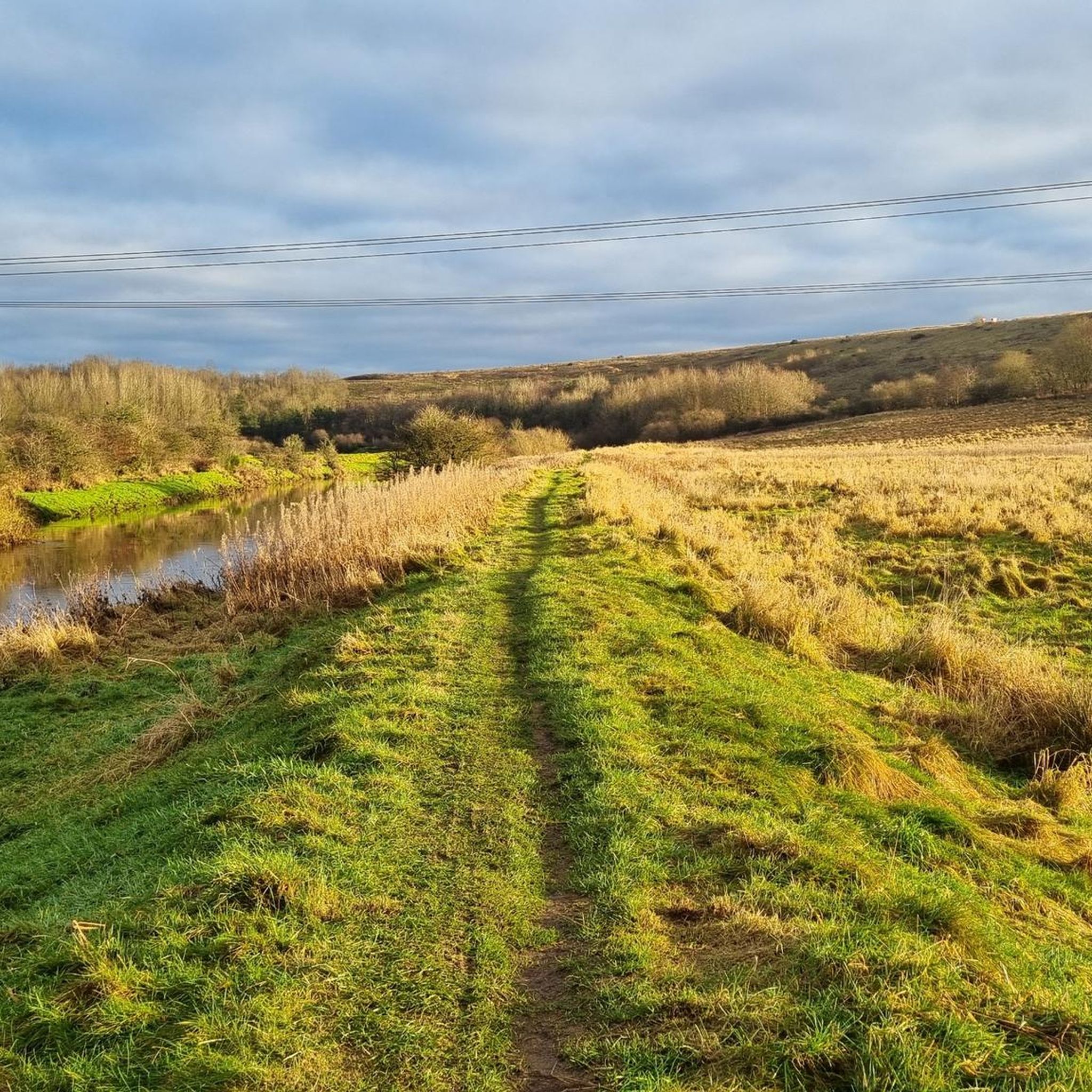
MTB Trails around Shared Cadder/Milton/Lambhill/Maryhill/Summerston
Gravel biking around Shared Cadder/Milton/Lambhill/Maryhill/Summerston
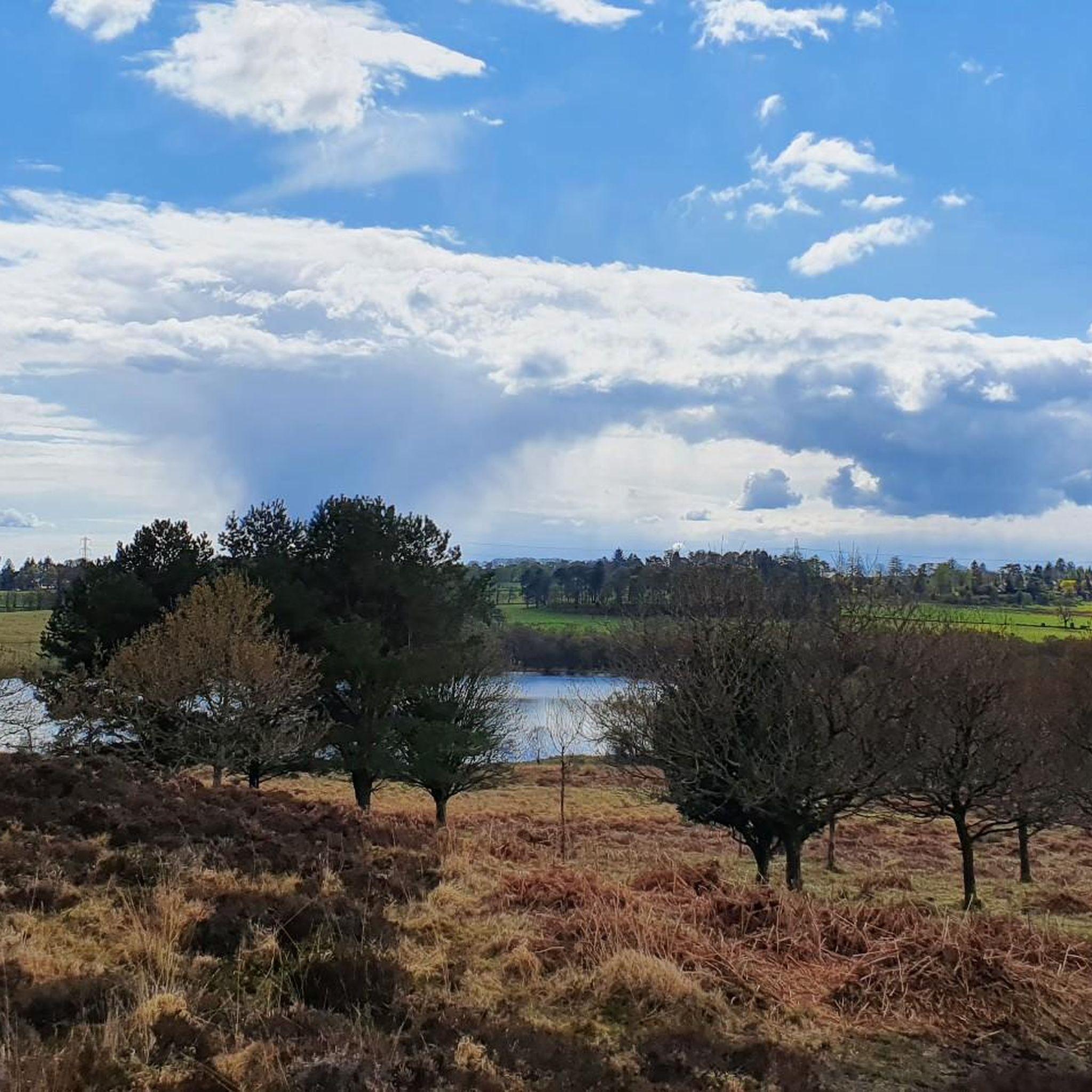
Running Trails around Shared Cadder/Milton/Lambhill/Maryhill/Summerston
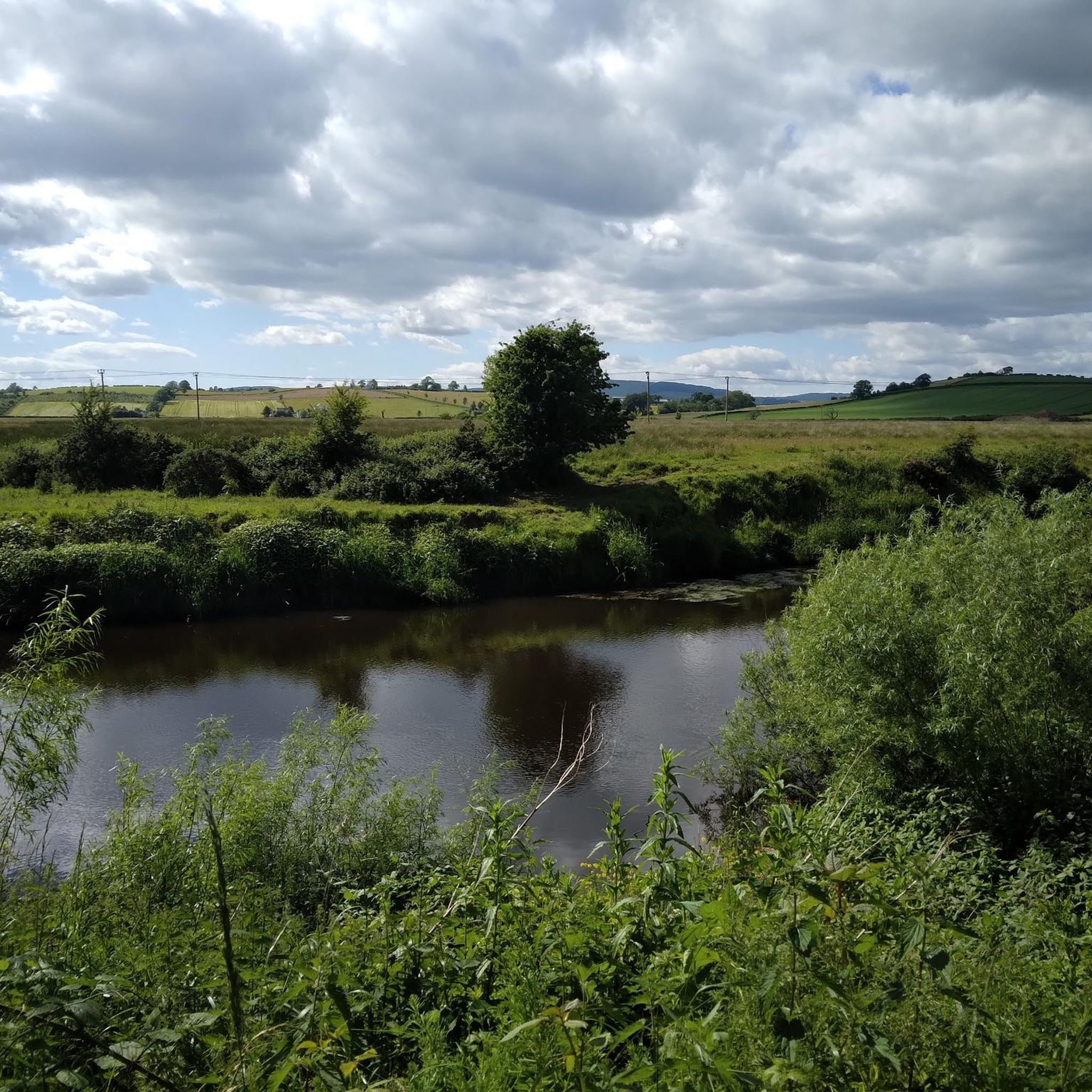
Cycling around Shared Cadder/Milton/Lambhill/Maryhill/Summerston
Tips from the Community

Hilly but very scenic route with some car free sections and of course coffee/lunch stops.
0
0

The Crow Road from Gonachan Cottage offers a gentler approach to this iconic Scottish climb, averaging 4–5% over around 5 km with occasional ramps up to 8%. The road surface is smooth and wide, rising steadily through open moorland with far-reaching views as you gain height. The gradient allows you to find a rhythm early and hold it, making it ideal for steady tempo riding. Wind can still be a factor, especially near the summit, so keep your effort measured. It’s a scenic, satisfying climb that rewards pacing and persistence.
1
0
Climbing the Crow Road north from Lennoxtown (B822) offers a classic Campsie Fells experience with rewarding views towards Glasgow. Settle in for a sustained ascent averaging around 4-5% over approximately 5-6km. The main physical challenge comes in the middle 'wall' section, where the gradient bites hard, reaching up to around 12-14% and demanding significant, steady effort. Experience the stunning panoramic views unfolding behind you as you gain height. As you emerge onto the open moorland near the summit, be prepared for significant exposure to wind, which often defines the final push to the top of this popular Scottish climb.
0
0

Stunning view of the River Teith as you leave or come back into Callander.
1
0

Carron Valley Reservoir is a scenic man-made lake in central Scotland, located about 30 miles northeast of Glasgow. It was built in the early 1930s as part of a hydroelectric power project. A flat tarmacked road follows the length of the reservoir and makes for a very scenic cycle.
1
0

From this point on the western shores of Lock Achray you are afforded breathtaking views of the majestic Ben Venue peak that rises out of the mountainscape. You'll notice its steep, rocky slopes and distinctive outline that make it such a recognisable landmark in the Trossachs.
1
0

Frequently Asked Questions
What kind of road cycling experience can I expect in the Cadder, Milton, Lambhill, Maryhill, and Summerston area?
The region offers a diverse road cycling experience, primarily characterized by the extensive and largely traffic-free Forth & Clyde Canal towpath. This provides mostly flat, easy rides suitable for various skill levels. Beyond the canal, you'll find a mix of urban green spaces, scenic views towards the Campsie Fells, and connections to Glasgow's wider cycling network, including more challenging loops with elevation gain in the surrounding areas.
Are there many road cycling routes available in this area?
Yes, the area boasts a wide selection of road cycling routes. There are over 490 routes available, catering to different preferences and abilities. Approximately half of these, around 250, are considered easy, while over 200 are moderate, and about 35 are more difficult.
Are there any family-friendly road cycling routes?
Absolutely. The Forth & Clyde Canal towpath is an excellent choice for families due to its generally flat, traffic-free nature and mostly paved surface. An easy option is the Stockingfield Junction Bridge – Forth and Clyde Canal Towpath loop from Summerston, which is just under 11 km and takes about 30 minutes, perfect for a leisurely family outing.
What are some notable landmarks or attractions I can see along the road cycling routes?
Cyclists can enjoy a variety of sights. Along the Forth & Clyde Canal, you might pass Lambhill Stables, a community hub with a cafe, and the Claypits Local Nature Reserve. Further afield, but accessible from routes in the wider Glasgow area, are historic sites like Mugdock Castle and the scenic Craigallian Loch.
Are there any circular road cycling routes in the area?
Yes, many routes are designed as loops. For instance, the popular Hungryside Bridge – View of the Campsie Fells loop from Gilshochill is a moderate 20.9 km circular route offering views of the Campsie Fells. Another option is the Stockingfield Junction Bridge – View of Firhill Stadium loop from Summerston, a moderate 35.3 km loop that combines urban and canal-side cycling.
What are the trail conditions like, especially on the Forth & Clyde Canal towpath?
The Forth & Clyde Canal towpath is generally well-maintained and mostly paved, making it suitable for road bikes. While some stretches, particularly further east, might be wet or uneven, the sections through Cadder, Lambhill, and Maryhill are typically in good condition, offering a smooth ride.
Where can I find cafes or places to stop for refreshments along the routes?
The Forth & Clyde Canal towpath is a good place to find stops. Lambhill Stables, located directly on the canal, houses a community hub and cafe, making it a convenient and popular stop for cyclists. Other urban areas along the canal, like Maryhill, also offer various local establishments.
What is the best time of year for road cycling in this region?
While cycling is possible year-round, spring to autumn generally offers the most pleasant conditions. The Forth & Clyde Canal towpath can be enjoyed in most seasons, though some sections might be wetter or more uneven in winter. Always check local weather forecasts before heading out.
How can I access the road cycling routes using public transport?
The area is well-connected by Glasgow's public transport network. Many routes, especially those along the Forth & Clyde Canal, are accessible from various train stations and bus stops throughout North Glasgow. You can plan your journey to start points like Gilshochill or Summerston, which are often departure points for popular routes.
Where can I park my car to access the road cycling trails?
Parking is available at various points along the canal and in the surrounding neighborhoods. For routes starting near Maryhill or Lambhill, you can often find street parking or designated car parks in proximity to the canal access points. It's advisable to check local parking regulations and availability for your specific starting location.
What do other road cyclists enjoy most about road cycling in Shared Cadder/Milton/Lambhill/Maryhill/Summerston?
The area is highly rated by the komoot community, with an average score of 4.4 stars from over 400 reviews. Reviewers often praise the accessibility of the Forth & Clyde Canal towpath for its traffic-free and scenic nature, as well as the variety of routes that connect urban green spaces with views of the surrounding countryside.
Are there any more challenging road cycling routes for experienced riders?
While many routes are easy to moderate, the wider Glasgow area offers more challenging options. For instance, the Stockingfield Junction Bridge – Glasgow Green loop from Gilshochill, while mostly easy, covers over 31 km and connects to riverside landscapes, offering a longer ride. More significant elevation gains can be found in routes extending towards the Campsie Fells, such as the Lennoxtown & Mugdock Reservoir loop from Glasgow, which can be moderate to difficult.
Most popular routes around Shared Cadder/Milton/Lambhill/Maryhill/Summerston
Most popular attractions around Shared Cadder/Milton/Lambhill/Maryhill/Summerston

Get inspired with the komoot mobile app


Explore more
Browse the best Road cycling routes in other regions.
