The best road cycling routes around Baillieston
4.5
(298)
8,338
riders
352
rides
Road cycling routes around Baillieston, situated on the eastern edge of Glasgow, offer a mix of urban fringes and rural landscapes. The area provides access to diverse cycling opportunities, with many routes featuring paved surfaces suitable for road bikes. Its location allows for local rides and convenient connections to broader networks, including parts of the National Cycle Network. Proximity to green spaces like Drumpellier Country Park further enhances the cycling experience.
Best road cycling routes around Baillieston
- The most popular road cycling route is Greggs Uddingston – Hamilton Mausoleum loop from Baillieston, an easy 21.9 miles (35.2 km) trail that takes 1 hour 51 minutes to complete. This route combines urban and rural scenery, passing by the historic Hamilton Mausoleum.
- Another top favourite among local road cyclists is Peaceful Country Road – View of Glasgow from Crow Road loop from Bargeddie, a moderate 31.6 miles (50.8 km) path. This route offers scenic views of Glasgow from the Crow Road, traversing peaceful country roads.
- Local road cyclists also love the Roasted Café – View of Chapelton loop from Mount Vernon, a 48.0 miles (77.3 km) trail leading through varied landscapes, often completed in about 3 hours 36 minutes. This route provides a longer ride with opportunities for a café stop.
- Road cycling around Baillieston is defined by its accessible paved surfaces, proximity to green spaces like Drumpellier Country Park, and connections to national cycle networks. The network offers options for different ability levels, from easy loops to more challenging rides with significant elevation gain.
- The routes in Baillieston are highly rated by the komoot community with an average score of 4.5 stars from over 200 reviews. More than 8,000 road cyclists have used komoot to explore Baillieston's varied terrain.
Last updated: July 6, 2026
33
riders
36.2km
01:57
270m
270m
Easy road ride. Great for any fitness level. Mostly well-paved surfaces and easy to ride.
31
riders
Moderate road ride. Good fitness required. Mostly well-paved surfaces and easy to ride.

Sign up for free
24
riders
77.3km
03:37
690m
690m
Moderate road ride. Good fitness required. Mostly well-paved surfaces and easy to ride.
15
riders
Easy road ride. Great for any fitness level. Mostly well-paved surfaces and easy to ride.
14
riders
97.7km
04:50
930m
930m
Hard road ride. Very good fitness required. Mostly well-paved surfaces and easy to ride.
Get access to more routes and recommendations from other explorers.
Sign up for free
Already have an account?
Our route recommendations are based on thousands of hikes, rides, and runs completed by other people on komoot.
Start today with a free account
Your next adventure awaits.
Login or Signup

Tips from the Community

I Live in nearby Eaglesham - On the Whitlees Gravel most weeks 👌. Still making new routes - So many options. Various Entry / Departure points. Get hold of their Map - Because 1 Turbine looks just the other Hundred and how many 😉🚴🏽♂️Frenchie
0
0

great place for food, drinks and ice-cream.
0
0

“Strathclyde Loch is more than just water: beneath its surface, Bothwellhaugh, a mining village swept away in the 1970s, vanished. Today, only a cairn remains as a reminder of the houses, schools, and shops. There's also a Roman fort and an ancient road (yes, Watling Street is still here). Final warning: In 2012, a norovirus outbreak left 57 swimmers unconscious. Water caution.
0
0

Climbing the Crow Road north from Lennoxtown (B822) offers a classic Campsie Fells experience with rewarding views towards Glasgow. Settle in for a sustained ascent averaging around 4-5% over approximately 5-6km. The main physical challenge comes in the middle 'wall' section, where the gradient bites hard, reaching up to around 12-14% and demanding significant, steady effort. Experience the stunning panoramic views unfolding behind you as you gain height. As you emerge onto the open moorland near the summit, be prepared for significant exposure to wind, which often defines the final push to the top of this popular Scottish climb.
0
0

Last orders at the cafe are at 3.30pm! (March, might be later in summer) We turned up a 3.45 so no lunch for us, but we did get tea/coffee and nice cakes. There are 2 alpacas in the field next to the cafe, and sometimes little goats in the other field. From the shop you can buy the farms own wagyu beef 😋
0
0

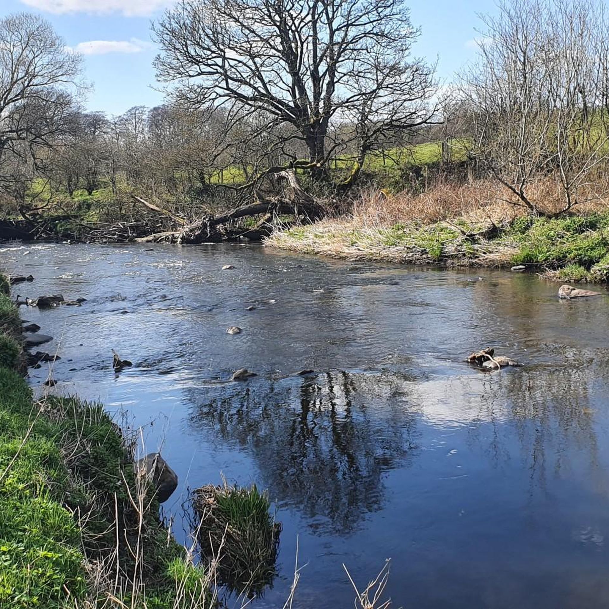
Certain times of the year there are posts to tell you to keep dogs out water because of the algae
0
0

Beautiful route, but quiet only in parts, there are some particularly challenging and dangerous intersections and roundabouts when there is heavy traffic.
0
0

Frequently Asked Questions
How many road cycling routes are available around Baillieston?
Based on komoot, there are over 370 road cycling routes around Baillieston, catering to various skill levels. Approximately 145 of these are classified as easy, making the area accessible for beginners or those seeking a relaxed ride.
Are there easy road cycling routes suitable for beginners in Baillieston?
Yes, Baillieston offers a good selection of easy road cycling routes, with over 145 options available on komoot. These routes often feature paved surfaces and less challenging terrain. A popular easy route is the Greggs Uddingston – Hamilton Mausoleum loop from Baillieston, which is 21.9 miles long and combines urban and rural scenery.
What kind of challenging road cycling routes can I find near Baillieston?
For experienced cyclists seeking a challenge, Baillieston's location provides access to more demanding rides. Iconic Scottish road climbs like the Crow Road and Tak Ma Doon are within reach, offering significant elevation gain and rewarding views. An example of a more difficult route is the Glasgow Green – Whitelee Wind Turbines loop from Baillieston, which covers nearly 100 km and features substantial climbing.
Are there family-friendly road cycling options in the Baillieston area?
While specific 'family-friendly' routes are not explicitly tagged, many of the easy, paved routes around Baillieston, especially those within green spaces like Drumpellier Country Park, would be suitable for families. The area's proximity to parts of the National Cycle Network also provides safer, off-road sections ideal for family rides.
What scenic viewpoints or landmarks can I expect to see on road cycling routes?
Many routes offer scenic views and pass by notable landmarks. For instance, the Peaceful Country Road – View of Glasgow from Crow Road loop from Bargeddie provides panoramic views of Glasgow. You might also encounter historical sites like the Hamilton Mausoleum or natural features such as Lochend Loch within Drumpellier Country Park (Lochend Loch).
Are there any circular road cycling routes available?
Yes, many of the road cycling routes around Baillieston are designed as loops, allowing you to start and finish at the same point. Examples include the Greggs Uddingston – Hamilton Mausoleum loop from Baillieston and the Peaceful Country Road – View of Glasgow from Crow Road loop from Bargeddie.
What is the best time of year for road cycling in Baillieston?
Road cycling in Baillieston is generally enjoyable from spring through autumn (April to October) when the weather is milder and daylight hours are longer. While routes are accessible year-round, winter can bring colder temperatures, shorter days, and potentially icy conditions, requiring more caution.
Are there places to stop for refreshments or cafes along the routes?
Yes, some routes are known to pass by or near cafes. For example, the Roasted Café – View of Chapelton loop from Mount Vernon explicitly mentions a café stop. Additionally, Baillieston's proximity to Glasgow means there are numerous options for refreshments in urban areas or smaller towns along various routes.
What do other road cyclists enjoy most about road cycling in Baillieston?
The road cycling routes around Baillieston are highly rated by the komoot community, with an average score of 4.5 stars from over 200 reviews. Cyclists often praise the mix of urban and rural scenery, the accessible paved surfaces, and the connections to broader cycling networks that allow for varied experiences.
How accessible is Baillieston for road cycling if I'm using public transport?
Baillieston is situated on the eastern edge of Glasgow, a city actively investing in its cycling infrastructure. This means it's generally well-connected by public transport, making it feasible to reach starting points for routes without a car. Check local train or bus services for specific connections to Baillieston and surrounding areas.
Can I find routes that incorporate natural parks or green spaces?
Absolutely. Baillieston serves as a gateway to several green spaces. Drumpellier Country Park, with its woodlands and Lochend Loch (Lochend Loch), is a short distance away and is often incorporated into cycling routes, offering a natural escape from urban fringes.
What is the typical duration for road cycling routes in the area?
The duration of routes varies significantly based on distance and difficulty. Easy routes like the Greggs Uddingston – Hamilton Mausoleum loop from Baillieston can take under two hours, while longer, more challenging routes such as the Roasted Café – View of Chapelton loop from Mount Vernon might take over three and a half hours. There are options for rides of almost any length.
Most popular attractions around Baillieston

Get inspired with the komoot mobile app


Explore more
Browse the best Road cycling routes in other regions.
