The best road cycling routes around Gräfenthal
4.7
(96)
827
riders
95
rides
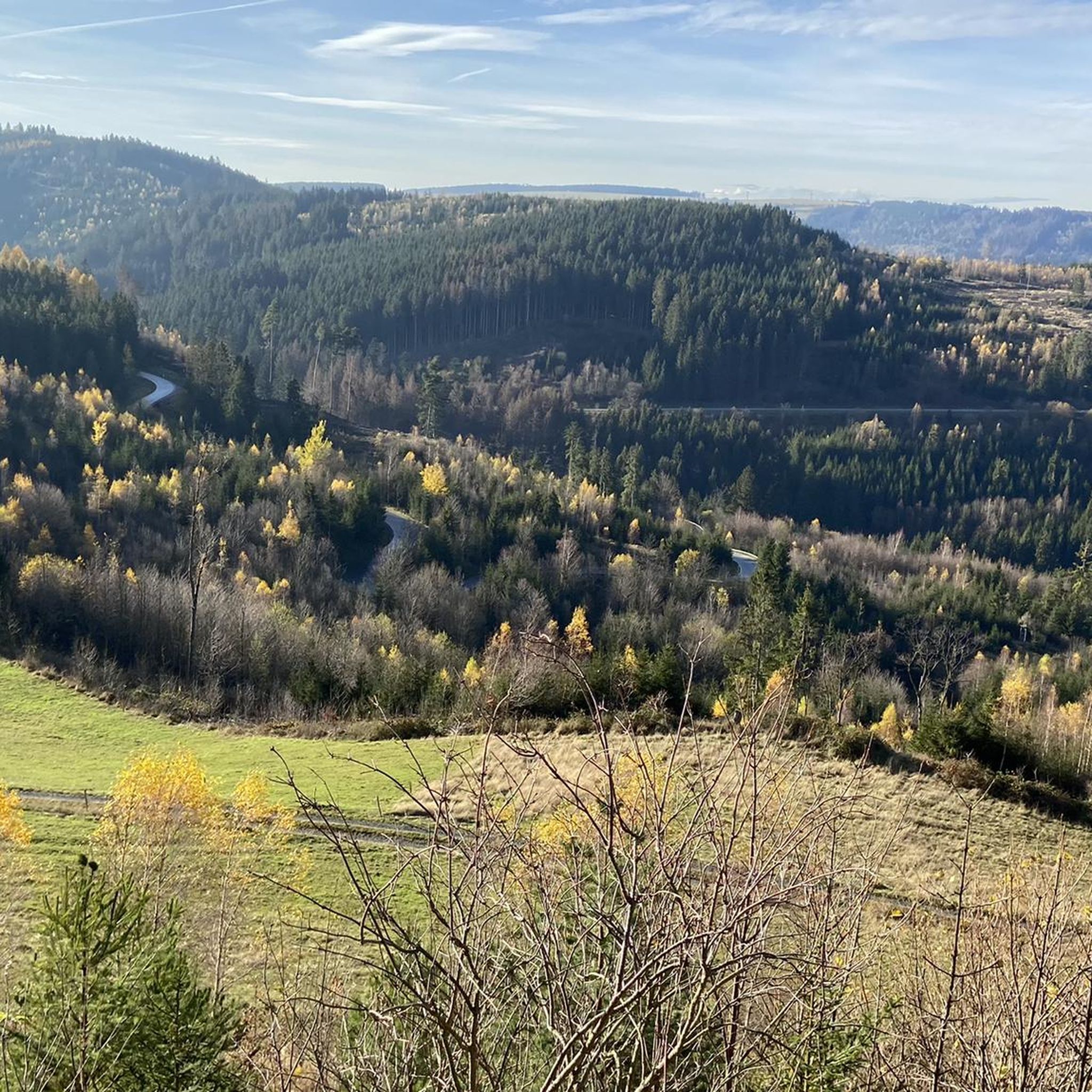
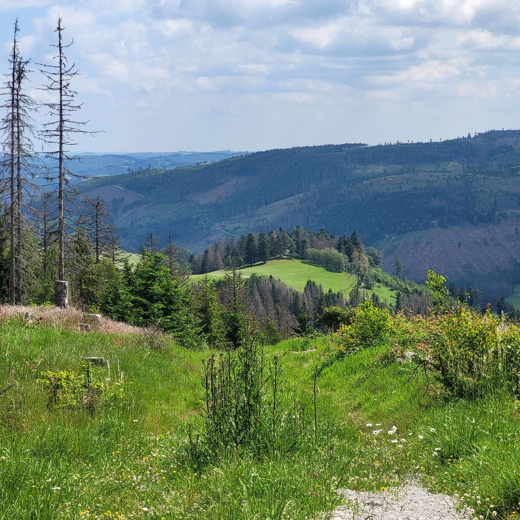
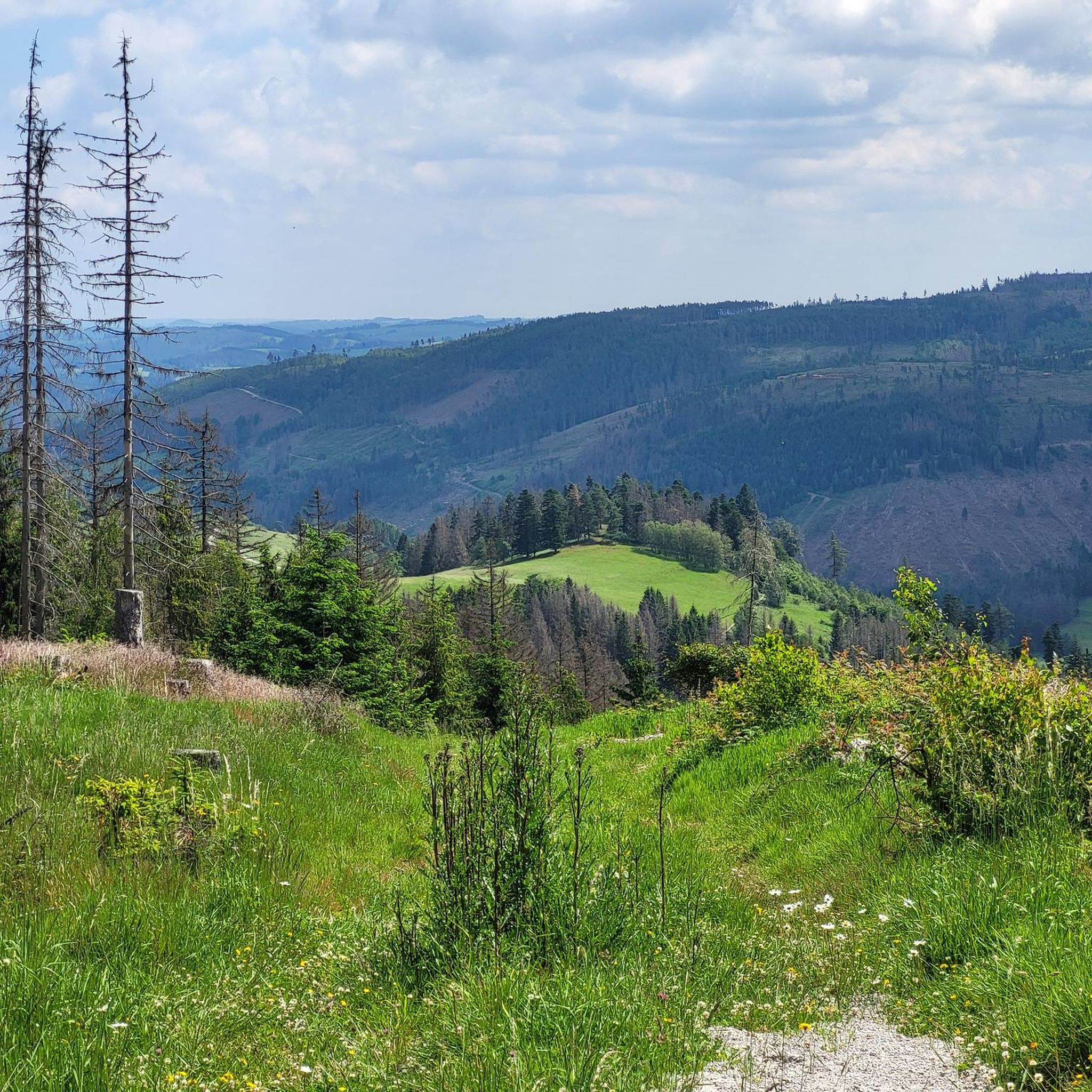
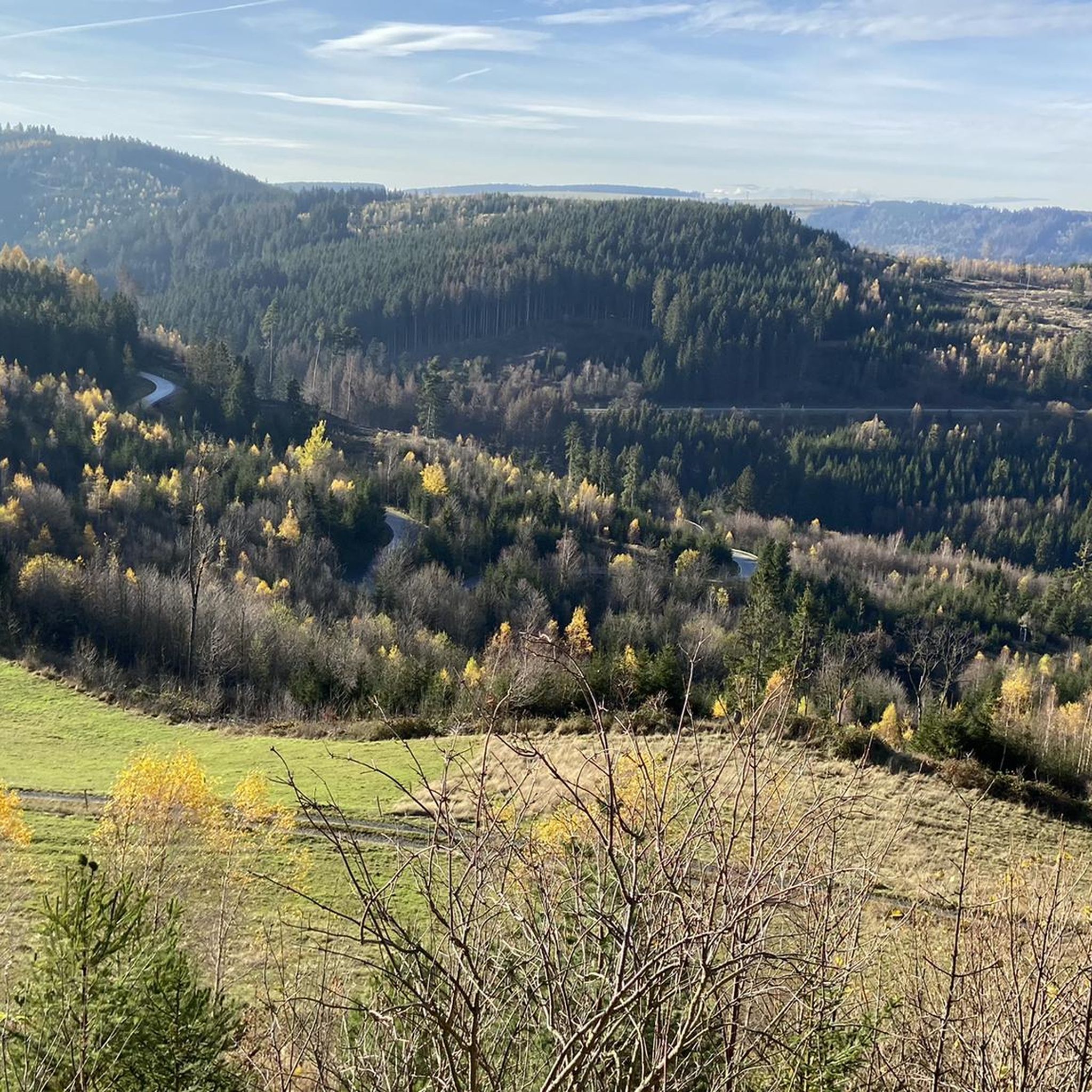
Road cycling routes around Gräfenthal navigate a landscape characterized by varied elevations, including forested hills and open valleys. The region features a mix of winding roads that traverse both rural areas and small towns. Road cyclists can expect routes that include both gradual ascents and descents, offering diverse terrain for different skill levels.
Best road cycling routes around Gräfenthal
- The most popular road cycling route is Fuchbachmühle – People's House loop from Gräfenthal, a 23.8 miles (38.3 km) trail…
Last updated: November 9, 2026
4.4
(7)
28
riders
38.9km
01:52
490m
490m
Moderate road ride. Good fitness required. Some segments of this route may be unpaved and difficult to ride.
5.0
(20)
24
riders
56.5km
02:40
390m
390m
Moderate road ride. Good fitness required. Mostly well-paved surfaces and easy to ride.

5.0
(9)
11
riders
Easy road ride. Mostly well-paved surfaces and easy to ride.
10
riders
56.0km
02:44
810m
810m
Moderate road ride. Good fitness required. Mostly well-paved surfaces and easy to ride.
4.5
(2)
9
riders
Moderate road ride. Good fitness required. Mostly well-paved surfaces and easy to ride.
Get access to more routes and recommendations from other explorers.
Already have an account?
Our route recommendations are based on thousands of hikes, rides, and runs completed by other people on komoot.
Start today with a free account
Your next adventure awaits.
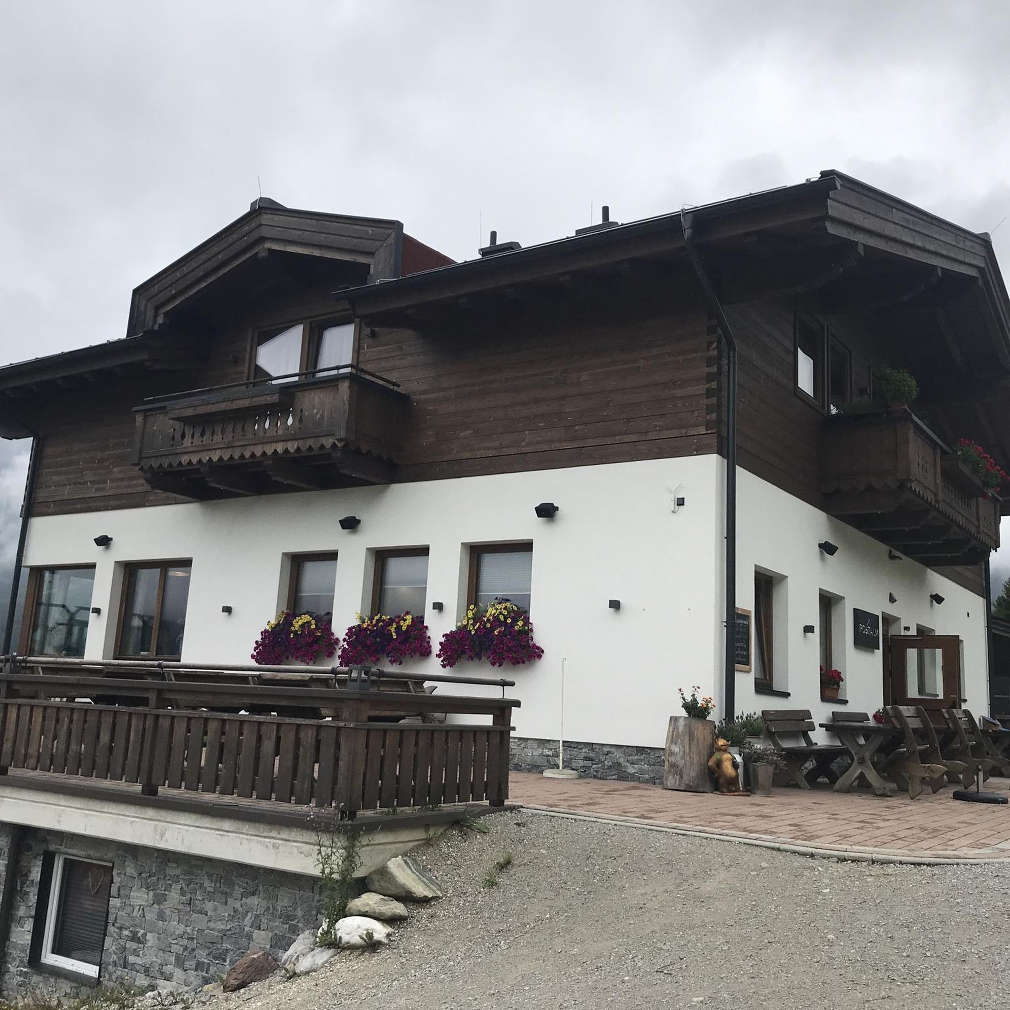
Tips from the Community

At the Schildwiese rest stop, there is a very special piece of Rennsteig history: a small customs house that is reminiscent of the former division of Germany. It was created by Günther Schmidt from Spechtsbrunn. With a lot of humor, he has designed a place here that recalls the time when the Rennsteig was actually divided by the border. Today, you can hike here without any passport control.
11
0
At the "Kalte Küche" nature park information center on the Rennsteig, not only do three nature parks meet, but so do the three districts of Sonneberg, Kronach, and Saalfeld/Rudolstadt. Here you can find interesting facts about the landscape, local crafts, and German-German history, as well as numerous free hiking maps. If you need a break, you can refresh yourself at the Rennsteig snack bar with small meals, drinks, as well as coffee and cake. Opening hours: April to October: Tuesday to Friday 10 a.m. - 4 p.m., Saturday and Sunday 11 a.m. - 4 p.m. November to March: Tuesday to Friday 10 a.m. - 3:30 p.m. Monday is a day off.
9
0
Since December 2014, this replica of a medieval village glassworks has stood here in place of the Hammerschmidt glassworks, which burned down in 1904. The glass pavilion shows the enormous effort required for glass production at that time.
14
0
Through the construction of the GDR border facilities in 1962, the residents of Kleinlichtenhain found themselves in the curious situation of having to live in no man's land between the two German states. The Thuringian village with three houses and twenty inhabitants officially belonged to the GDR. However, because it was located in the narrow "Kleintettauer Winkel", which protruded like a spur into Bavarian territory, it was separated from GDR territory by the newly created death strip. The GDR citizens of Kleinlichtenhain could move freely to the West, but there was no way to get into the "Eastern Zone". The memorial with information boards and documentary photos commemorates this unusual situation.
17
0
During the Rennsteig Church Day on June 20, 2009, the memorial at Schildwiese was inaugurated. The metal cross, over four meters high, was designed by the builders from original parts of the old border fence. In front of it, a plaque on a stone block commemorates the people who died in this section of the inner-German border, and all victims of the wall and barbed wire during the German division.
8
0
The "Zollhaus" at the Rennsteig border monument is not a restored historical building. The hut was erected and equipped in autumn 2016 by the Frankenwaldverein Kleintettau. It is intended to commemorate the vibrant customs history of this border region and the era of German division. The monument also includes a historical border stone and two posts with the coats of arms of the Free State of Bavaria and the district of Kronach on one side, and the Free State of Thuringia and the district of Saalfeld-Rudolstadt on the other.
14
0
The Franconian Forest Association's hiking hut in Kleintettau is located directly on the Rennsteig trail on the Schildwiese meadow, on the border between Bavaria/Thuringia. Until 1989, the world ended here for Germans from both parts of the country. The Iron Curtain between the FRG and the GDR ran directly along the Schildwiese. Today, the Frankenwaldhütte is a popular destination. Here you can relax, stop for refreshments, and learn about history, nature, or traditional crafts such as charcoal burning. Occasionally, a charcoal pile is lit behind the hut. The hut is open Tuesdays from 4 PM to 8 PM and Sundays from 2 PM to 6 PM. It does not offer overnight accommodation.
7
0

During my visit in July 2026, the church was open and accessible. Lovely village church.
1
0
Frequently Asked Questions
How many road cycling routes are available in Gräfenthal?
There are over 100 road cycling routes around Gräfenthal, offering a wide range of options for different skill levels and preferences. You can find routes varying in length and elevation gain.
What kind of terrain can I expect on road cycling routes in Gräfenthal?
Road cycling routes in Gräfenthal navigate a landscape characterized by varied elevations, including forested hills and open valleys. You'll encounter a mix of winding roads that traverse both rural areas and small towns, with both gradual ascents and descents.
Are there road cycling routes suitable for beginners in Gräfenthal?
Yes, Gräfenthal offers a few easier road cycling routes. While most routes are moderate, there are 3 routes specifically categorized as easy, providing a gentler introduction to the region's cycling. These typically have less elevation gain and shorter distances.
What are some challenging road cycling routes around Gräfenthal?
For experienced cyclists seeking a challenge, Gräfenthal has 41 difficult road cycling routes. One such route is the Rothenkirchen Market Square – Wildberg Summit (735 m) loop from Tettau, which covers 34.7 miles (55.8 km) with over 800 meters of elevation gain.
Are there any loop road cycling routes in Gräfenthal?
Yes, many road cycling routes in Gräfenthal are designed as loops, allowing you to start and finish in the same location. Examples include the popular Fuchbachmühle – People's House loop from Gräfenthal and the Schildwiese Toll House – View of Sattelgrund loop from Tettau.
What attractions can I visit near the road cycling routes in Gräfenthal?
The Gräfenthal area offers several interesting attractions close to cycling routes. You can explore historical sites like the Lehesten Slate Quarry Industrial Heritage Site or natural wonders such as the Meurasteine Rock Formation. For a unique experience, consider visiting the Morassina Show Cave and Mining Museum.
Are there scenic viewpoints along the road cycling routes in Gräfenthal?
Yes, the varied terrain of Gräfenthal provides several opportunities for scenic views. The Schildwiese Toll House – View of Sattelgrund loop from Tettau is known for potential viewpoints. Additionally, the Schneiderfelsen is a notable viewpoint in the region.
What are the typical lengths of road cycling routes in Gräfenthal?
Road cycling routes in Gräfenthal vary significantly in length. You can find shorter routes like the Schildwiese Toll House – View of Sattelgrund loop from Tettau at 15.1 miles (24.3 km), up to longer rides such as the Cycle Path Near Pressig loop from Tettau, which is 34.7 miles (55.9 km).
What is the best season for road cycling in Gräfenthal?
The best season for road cycling in Gräfenthal is typically from spring through autumn (April to October). During these months, the weather is generally mild, and the roads are clear, offering pleasant conditions for exploring the region's diverse landscapes.
How do other cyclists rate the road cycling experience in Gräfenthal?
The road cycling experience in Gräfenthal is highly rated by the komoot community, with an average score of 4.6 stars from over 80 reviews. Cyclists often praise the varied terrain, the mix of rural roads and small towns, and the scenic beauty of the forested hills and river valleys.
Are there places to eat or drink along the road cycling routes in Gräfenthal?
While specific cafes or pubs are not listed for every route, many routes pass through small towns and villages where you can find local eateries or shops to refuel. The Spechtsbrunn Nature Park Information Center is one location offering snacks.
Is public transport available to access road cycling routes in Gräfenthal?
Gräfenthal is connected by regional bus services, which may offer limited options for reaching certain starting points of road cycling routes. It's advisable to check local bus schedules and policies regarding bicycle transport in advance, as services can be less frequent in rural areas.
Where can I find parking near road cycling routes in Gräfenthal?
Parking is generally available in Gräfenthal and the surrounding towns like Tettau and Schmiedefeld, which serve as common starting points for many routes. Look for public parking areas in town centers or near popular trailheads. Specific parking details for individual routes may be found on their respective komoot tour pages.
Most popular routes around Gräfenthal
Most popular attractions around Gräfenthal

Get inspired with the komoot mobile app


Explore more
Browse the best Road cycling routes in other regions.
