The best MTB trails around Burntisland
4.4
(67)
579
riders
66
rides
Mountain biking around Burntisland offers diverse routes through coastal landscapes and varied terrain. The region features paths along the Firth of Forth, incorporating views of cliffs and bays. Trails often traverse areas with woodlands and open sections, providing a mix of surfaces for mountain bikers. The elevation changes are generally moderate, making the area accessible for a range of skill levels.
Best mountain bike trails around Burntisland
- The most popular mountain bike trail is Hawkcraig Cliff and Lighthouse – Beech…
Last updated: May 11, 2026
12
riders
Moderate mountain bike ride. Good fitness required. Suitable for all skill levels.
4.0
(1)
10
riders
16.6km
01:02
120m
120m
Easy mountain bike ride. Great for any fitness level. Suitable for all skill levels.

Sign up for free
4.7
(3)
6
riders
29.5km
02:14
370m
370m
Moderate mountain bike ride. Good fitness required. Advanced riding skills necessary.
5.0
(1)
8
riders
Easy mountain bike ride. Great for any fitness level. Suitable for all skill levels.
3.0
(2)
5
riders
31.0km
02:23
440m
440m
Moderate mountain bike ride. Good fitness required. Suitable for all skill levels.
Get access to more routes and recommendations from other explorers.
Sign up for free
Already have an account?
Our route recommendations are based on thousands of hikes, rides, and runs completed by other people on komoot.
Start today with a free account
Your next adventure awaits.
Login or Signup

Tips from the Community

Great area to ride in but fallen trees on Aberdour side block path.
0
0
Great views, good shared cycling path which takes you to Kinghorn. access to Kinghorn loch if you go past the golf course
0
0

Accommodation seems easy enough to find in most of these smallish villages along the river estuary. Aberdour has a train line and station running through it. These villages tend to have a main through road with basic essential shops. They are quaint places and nice to see
0
0
Looking down and around Stenhouse Reservoir from this elevated double track. Good views in many directions can be seen. The reservoir seemed low on water as the banks were quite wide on the day, showing the silt
0
0
This section was holding some surface water resulting in a tacky, muddy section. Be prepared for the trousers and lower garments to take mud on board. It is not a long section to get through until reaching drier conditions
0
0
Frequently Asked Questions
How many mountain bike trails are available around Burntisland?
There are over 60 mountain bike trails around Burntisland, offering a wide range of options for different skill levels. More than 30 of these are rated as easy, making the area very accessible.
Are there easy mountain bike trails suitable for beginners in Burntisland?
Yes, Burntisland offers many easy trails perfect for beginners. For example, the Beech Avenue, Aberdour – Cauldback Hill Track loop from Burntisland is an easy 10.4-mile route that explores a mix of open tracks and tree-lined avenues. Another great option is the Burntisland Station loop from Aberdour, an easy 12.2-mile ride.
What kind of terrain can I expect on mountain bike trails in Burntisland?
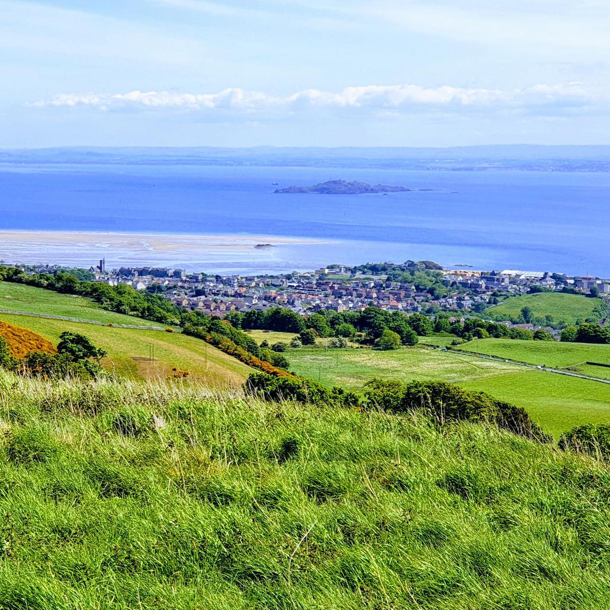
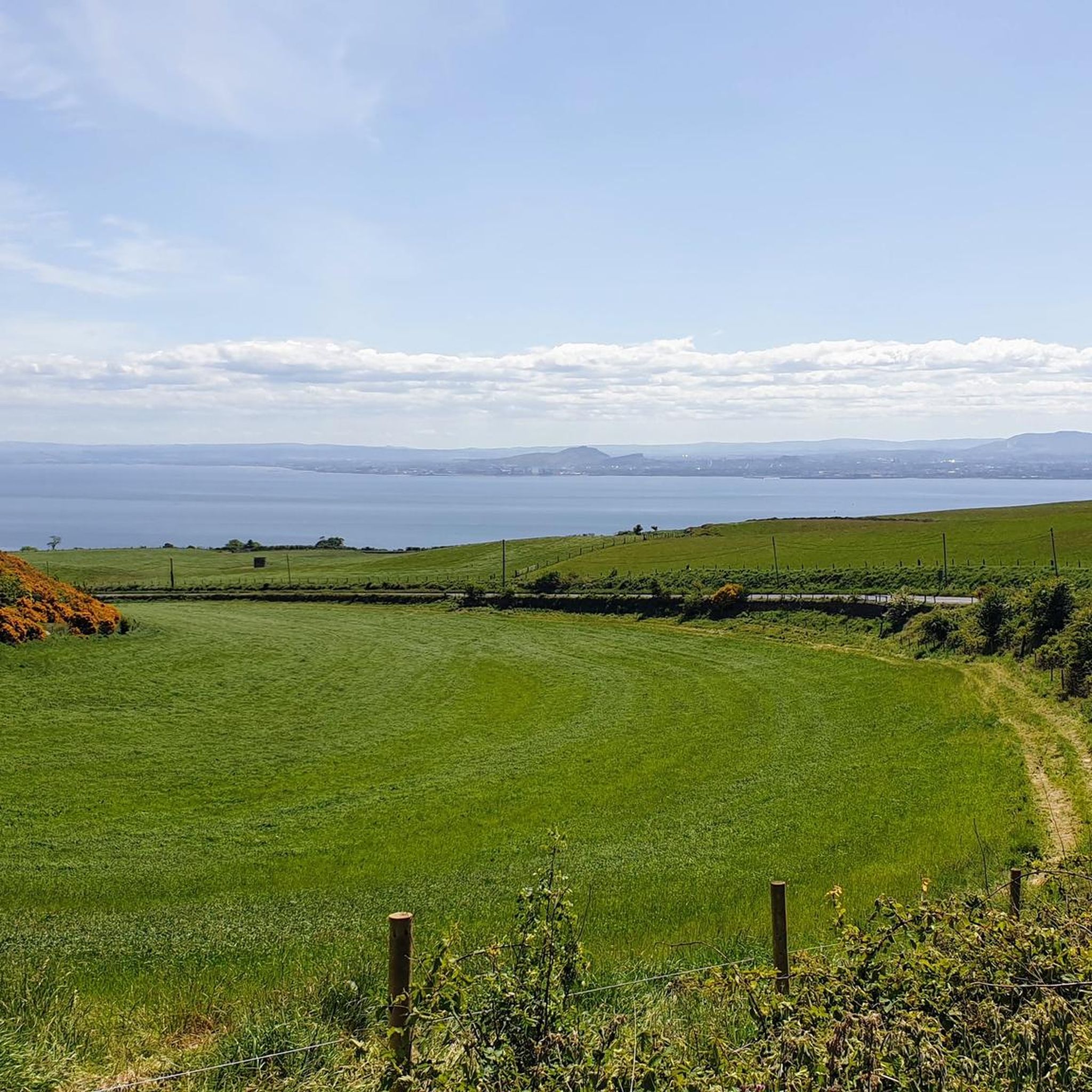
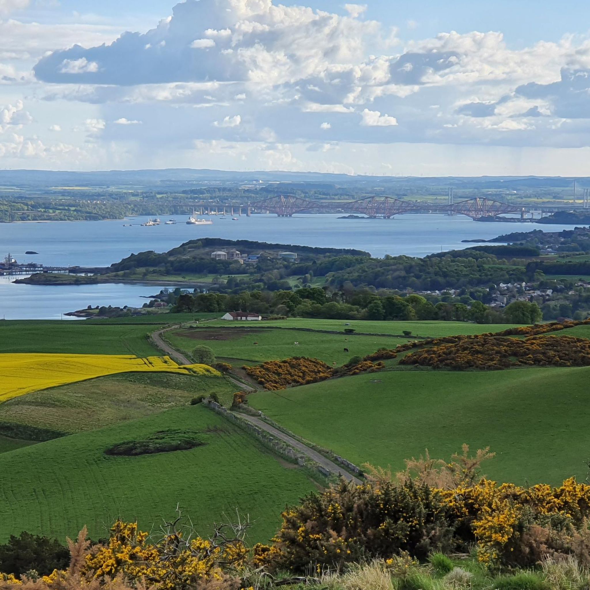
Mountain biking around Burntisland is characterized by diverse terrain, including coastal paths with views of the Firth of Forth, wooded sections, and open tracks. You'll find a mix of surfaces, from smooth paths to more rugged sections, with generally moderate elevation changes.
Are there any circular mountain bike routes in Burntisland?
Yes, many of the mountain bike trails in Burntisland are circular, allowing you to start and end at the same point. Popular circular routes include the Hawkcraig Cliff and Lighthouse – Beech Avenue, Aberdour loop from Kinghorn, which is 17.3 miles long, and the View of Silversands Bay – Foreshore Near Carron Harbour loop from Kinghorn, covering 12.4 miles.
What are the typical durations for mountain bike trails in Burntisland?
Trail durations vary depending on the route and your pace. Many easy to moderate trails can be completed within 1.5 to 3 hours. For instance, the Hawkcraig Cliff and Lighthouse – Beech Avenue, Aberdour loop typically takes around 1 hour 55 minutes, while the Track to Craiganet Burn – Beech Avenue, Aberdour loop is often completed in about 2 hours 14 minutes.
What can I see along the mountain bike trails in Burntisland?
The trails offer scenic coastal views and pass through varied landscapes. You might encounter historical sites like Seafield Tower or natural landmarks such as Granton Harbour and Wardie Bay. The region also features several beautiful lochs, including Loch Ore and Loch Fitty, which can be explored nearby.
What do other mountain bikers enjoy most about the trails in Burntisland?
The mountain bike trails in Burntisland are highly rated by the komoot community, with an average score of 4.4 stars from over 60 reviews. Reviewers often praise the diverse coastal and wooded scenery, the well-maintained paths, and the accessibility for various skill levels.
Are there any advanced mountain bike trails near Burntisland?
While the majority of trails around Burntisland are easy to moderate, there is at least one difficult route available for experienced riders. These trails typically feature more challenging technical sections and steeper climbs. We recommend checking individual route details on komoot for specific difficulty ratings and terrain information.
What is the best time of year for mountain biking in Burntisland?
The best time for mountain biking in Burntisland is generally from spring through autumn (April to October) when the weather is milder and trails are drier. While some trails are accessible year-round, winter conditions can make paths muddy or slippery, especially in wooded areas.
Are there opportunities for wildlife spotting while mountain biking in Burntisland?
Yes, the varied landscapes around Burntisland, including coastal areas and woodlands, offer opportunities for wildlife spotting. Keep an eye out for coastal birds along the Firth of Forth and various woodland creatures in the forested sections of the trails.
Is there parking available for mountain bikers near the trailheads in Burntisland?
Parking is generally available at or near many trailheads and popular starting points in and around Burntisland. Specific parking information can often be found in the route descriptions on komoot, or by checking local council websites for public car parks.
Are there mountain bike trails in Burntisland with cafes or facilities nearby?
Many routes in Burntisland pass through or near towns and villages where you can find cafes, shops, and other facilities. For example, routes starting or ending in Burntisland or Aberdour will offer amenities. The Willie Clarke Centre at Lochore Meadows Country Park, a short distance away, also offers facilities.
Most popular routes around Burntisland
Most popular attractions around Burntisland

Get inspired with the komoot mobile app


Explore more
Browse the best MTB trails in other regions.
