Denny, Dunipace, Head Of Muir And Dennyloa
Denny, Dunipace, Head Of Muir And Dennyloa
The best running trails around Denny, Dunipace, Head Of Muir And Dennyloa
4.3
(19)
1,646
runners
19
runs
Jogging routes around Denny, Dunipace, Head Of Muir And Dennyloa traverse a varied landscape featuring riverside paths, woodland trails, and gently rolling terrain. The region is characterized by the River Carron, offering continuous running routes through parkland, and distinctive conical hills. Historical sites, including sections of the Antonine Wall, are integrated into the natural environment, providing diverse backdrops for running. The area offers a blend of surfaced paths and rougher tracks, catering to different preferences and fitness levels.
Best jogging…
Last updated: September 1, 2026
14
runners
6.98km
00:49
80m
80m
Moderate run. Good fitness required. Mostly paved surfaces. Suitable for all skill levels.
9
runners
8.55km
00:54
110m
110m
Moderate run. Good fitness required. Mostly paved surfaces. Suitable for all skill levels.

Sign up for free
10
runners
Moderate run. Good fitness required. Mostly paved surfaces. Suitable for all skill levels.
7
runners
Moderate run. Good fitness required. Mostly paved surfaces. Suitable for all skill levels.
5
runners
5.78km
00:36
60m
60m
Moderate run. Good fitness required. Mostly paved surfaces. Suitable for all skill levels.
Get access to more routes and recommendations from other explorers.
Sign up for free
Already have an account?
Our route recommendations are based on thousands of hikes, rides, and runs completed by other people on komoot.
Start today with a free account
Your next adventure awaits.
Login or Signup
Popular around Denny, Dunipace, Head Of Muir And Dennyloa
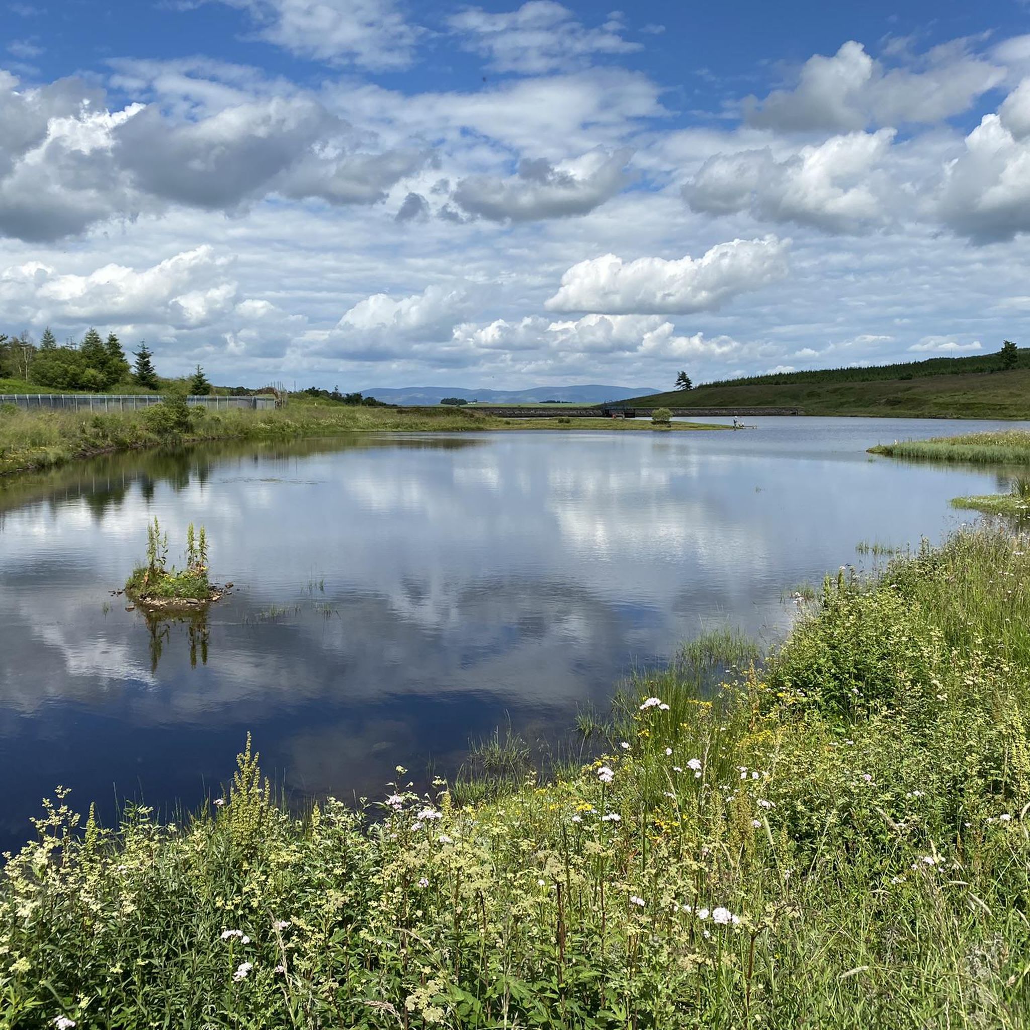
Cycling around Denny, Dunipace, Head Of Muir And Dennyloa
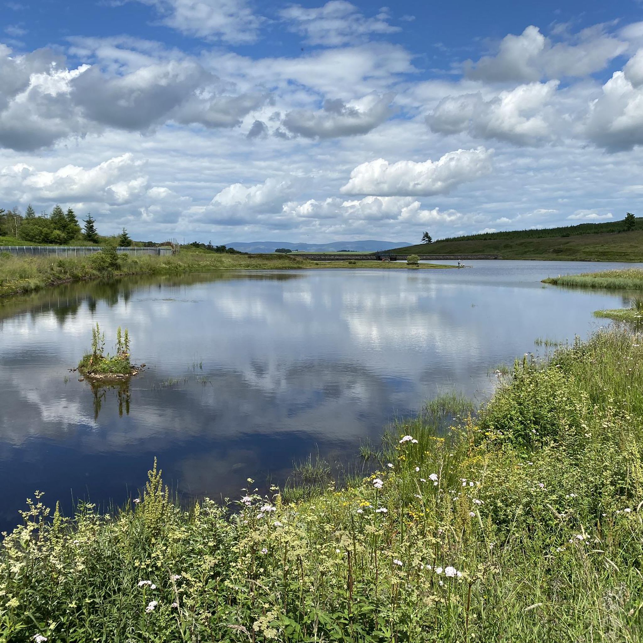
Road Cycling Routes around Denny, Dunipace, Head Of Muir And Dennyloa
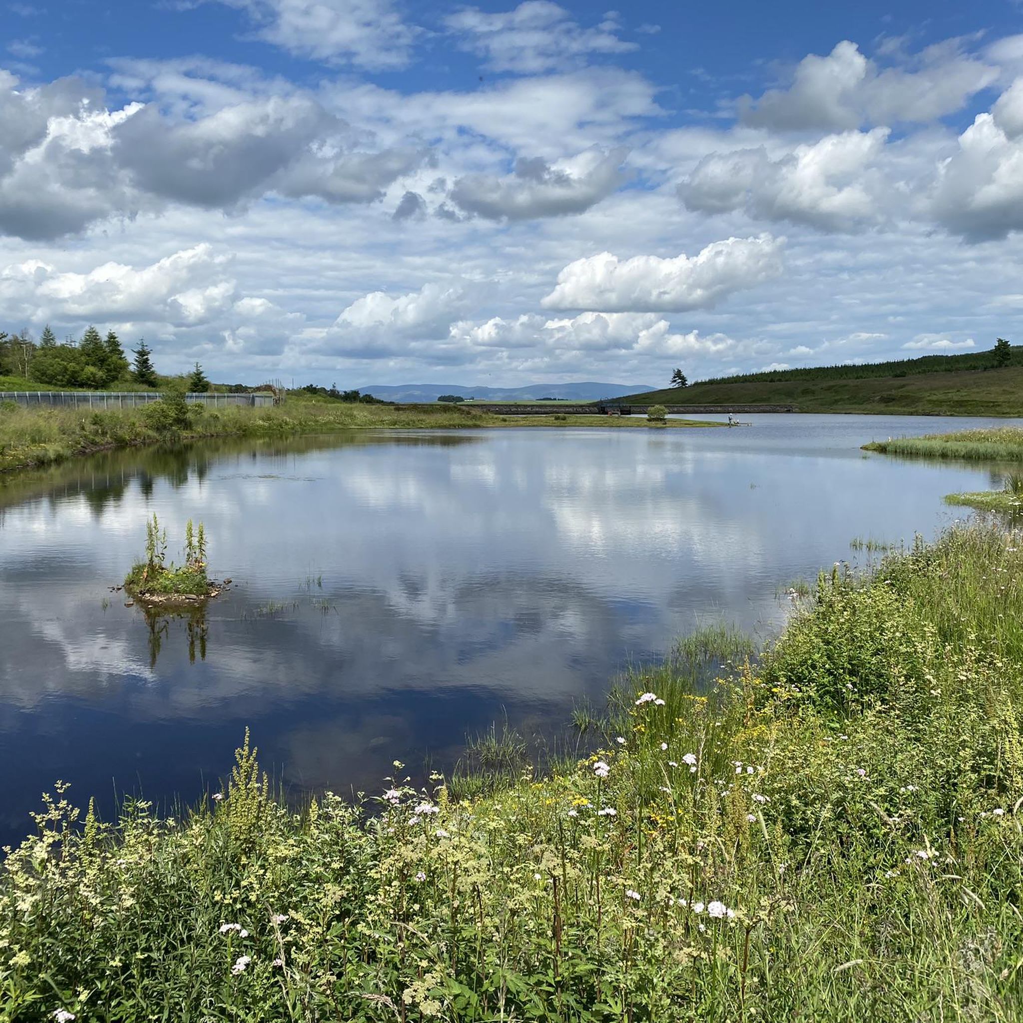
MTB Trails around Denny, Dunipace, Head Of Muir And Dennyloa

Gravel biking around Denny, Dunipace, Head Of Muir And Dennyloa
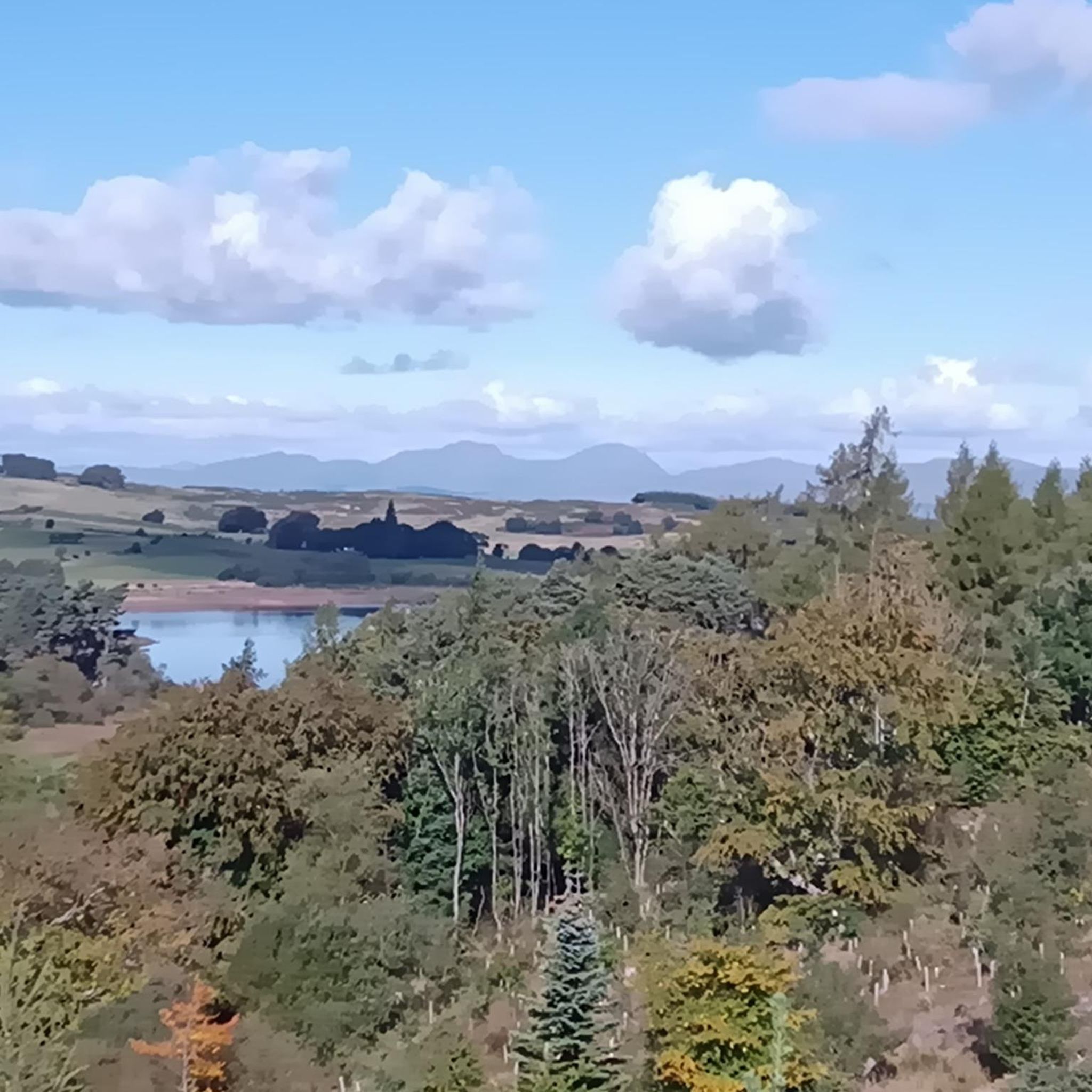
Hiking around Denny, Dunipace, Head Of Muir And Dennyloa
Tips from the Community

For those of us non-MTBers, all the small steps/jumps/ramps could be bypassed.
1
0

Loads of the access roads are closed due to tree felling at the moment so you will have to find alternatives. Komoot re-routed me up a non-bikable trail full of thorny bramble jaggies.
0
0

Opened in 1939 Carron Valley Reservoir provides water for about 135,000 people. There are nice easy trails around the reservoir or the managed woodland or use this as a base to start a longer run up Meikle Bin or one of the other hills.
0
0
Opened in 1939 Carron Valley Reservoir provides water for about 135,000 people. There are nice walking trails around the reservoir or the managed woodland or use this as a base to start a longer walk up Meikle Bin or one of the other hills.
0
0

The drop in at the start is the hardest bit. After that it’s a joy with little jump ramps with go around.
0
0

Carron Valley Reservoir is one of the largest in Scotland, supplying roughly 135,000 people in the Fortth Valley with water. The reservoir is 3 miles long and has plenty to do with purpose built mountain bike trails, walks around the reservoir and beyond into the surrounding woodland. If you take the path off of the main path here towards the reservoir there is a bench with a lovely view of the reservoir. Perfect for a lunch stop.
1
0
Frequently Asked Questions
How many running routes are available in the Denny, Dunipace, Head Of Muir, and Dennyloanhead area?
There are over 20 running routes available for jogging in this area. Most of these routes are considered moderate in difficulty, offering a good challenge for many runners.
Are there any easy jogging routes suitable for beginners or a relaxed run?
Yes, while most routes are moderate, there are a couple of easier options available. These typically follow the gentler riverside paths along the River Carron, providing a pleasant experience without significant elevation changes.
What kind of terrain can I expect on the jogging trails around Denny and Dunipace?
The terrain is quite varied, ranging from surfaced paths ideal for a smooth run to rougher tracks through woodlands and heathy pastures. You'll find riverside paths, woodland trails, and gently rolling hills, with some areas featuring craggy rock outcrops for a more rugged experience.
Are there any circular running routes in the region?
Yes, many of the running routes in the area are circular, allowing you to start and finish at the same point. Examples include the popular Running loop from Denny and the scenic Chacefield Wood loop from Denny.
What natural features or landmarks can I see while jogging in this area?
The region is rich in natural beauty and history. You can enjoy paths along the River Carron, explore woodlands like Rosebank Community Woodland, and encounter historical sites such as sections of the Antonine Wall, a UNESCO World Heritage Site. For scenic views, consider routes that pass near Croy Hill or the distinctive conical hills above Dunipace. You might also encounter beautiful lochs like Carron Valley Reservoir or Fannyside Lochs.
Are the jogging routes in Denny, Dunipace, Head Of Muir, and Dennyloanhead dog-friendly?
Many of the outdoor paths and trails in the region are suitable for running with dogs, especially the woodland and riverside routes. However, it's always advisable to keep dogs under control, particularly in areas with livestock or near nature reserves like Carron Glen SSSI.
Are there any family-friendly running options?
Yes, the area offers routes suitable for families, especially those with surfaced paths or gentler gradients. The riverside paths along the River Carron and trails within community woodlands like Rosebank are generally good choices for a family run or walk.
What do other runners enjoy most about jogging in this area?
The komoot community highly rates the running experience here, with an average score of 4.3 stars. Runners often praise the varied landscape, which includes a mix of riverside paths, engaging woodland trails, and the opportunity to explore historical sites. The diverse terrain caters to different preferences, from easy runs to more challenging routes.
Are there any routes that offer significant elevation for a more challenging run?
For those seeking a greater challenge, the area includes routes that incorporate hills and more rugged terrain. While most routes are moderate, some paths ascend towards peaks like Lecket Hill or Croy Hill, offering rewarding views and a more strenuous workout. The Carron Valley Red Trail – Carron Valley Reservoir loop from Faughlin Reservoir, for example, features over 220 meters of elevation gain.
Where can I find information about parking or public transport for these running routes?
While specific parking details for individual routes are best checked on the komoot tour pages, many trailheads in the Denny, Dunipace, and surrounding areas have local parking facilities. For public transport, local bus services connect the communities. You can find more detailed information on local path networks, which may include access points, by consulting resources like the Falkirk Council's walking guides, such as this one for the Denny path network: Denny Path Network.
Are there any places to stop for refreshments near the running trails?
Yes, within the broader region, you can find options for refreshments. For example, Canada Wood Kitchen & Trails is a highlight in the area that offers food and drink, providing a convenient stop for runners.
What is the longest running route available in the area?
One of the longer routes you can explore is the Carron Valley Red Trail – Carron Valley Reservoir loop from Faughlin Reservoir, which spans approximately 12.1 kilometers (7.5 miles) and offers a substantial run through varied terrain.
Most popular routes around Denny, Dunipace, Head Of Muir And Dennyloa
Most popular attractions around Denny, Dunipace, Head Of Muir And Dennyloa

Get inspired with the komoot mobile app


Explore more
Browse the best Running Trails & Routes in other regions.
