The best walks and hikes around Thornliebank
4.5
(361)
7,402
hikers
475
hikes
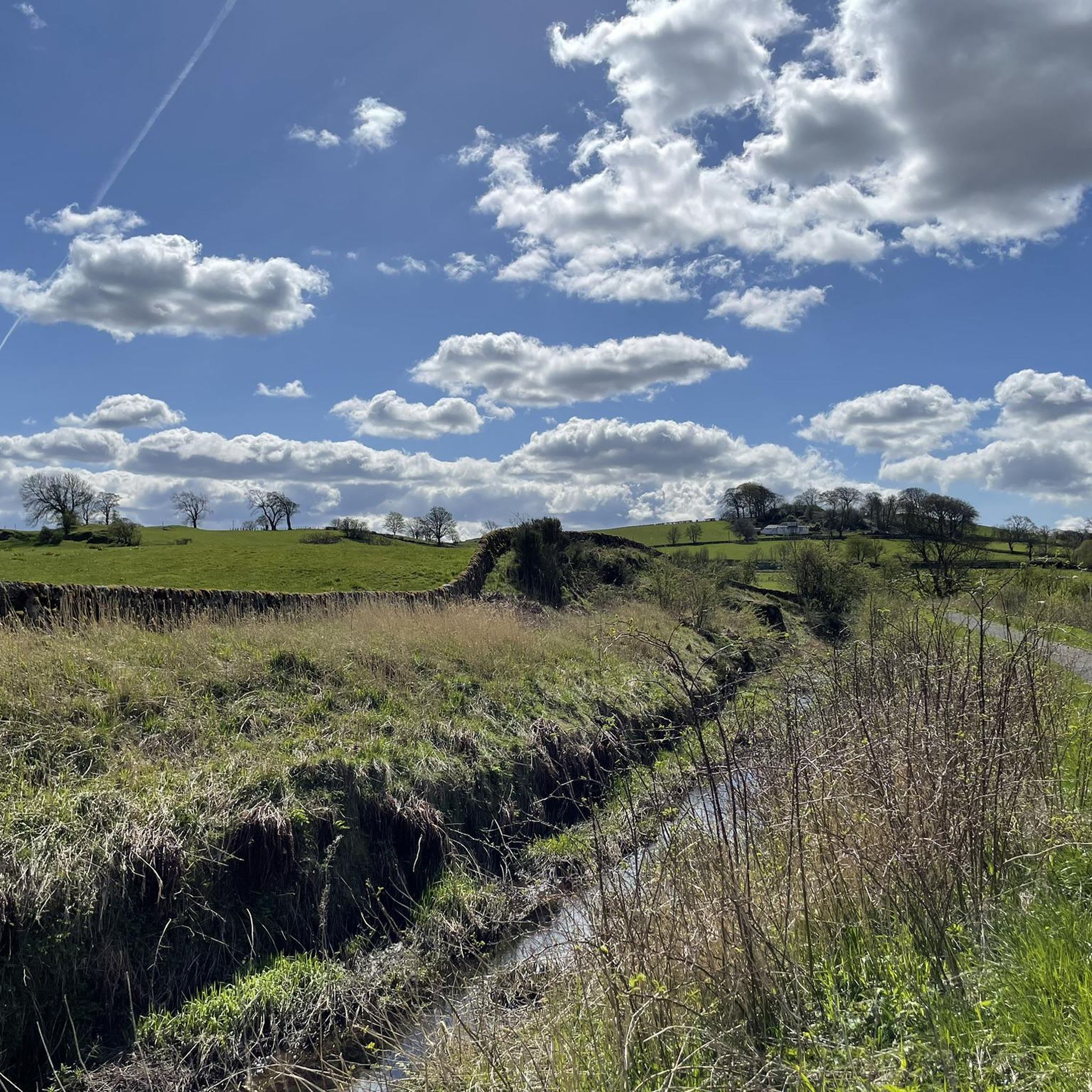
Hiking around Thornliebank offers a variety of trails through urban green spaces, local parks, and around reservoirs. The landscape is characterized by accessible parkland, gentle inclines, and water features, providing diverse options for outdoor activity. The area features well-maintained paths suitable for various skill levels, often incorporating natural elements within a suburban setting.
Best hiking trails around Thornliebank
- The most popular hiking route is Balgray Reservoir & Duncarnock loop from Patterton, a 9.2 miles (14.9 km) trail that takes…
Last updated: July 5, 2026
3.0
(1)
2
hikers
14.9km
03:55
130m
130m
This moderate 9.2-mile (14.9 km) hike from Patterton explores Balgray Reservoir and Duncarnock Hill, offering panoramic views.
4.6
(5)
93
hikers
Easy hike. Great for any fitness level. Easily-accessible paths. Suitable for all skill levels.

Sign up for free
4.8
(8)
93
hikers
Easy hike. Great for any fitness level. Easily-accessible paths. Suitable for all skill levels.
12
hikers
Moderate hike. Good fitness required. Easily-accessible paths. Suitable for all skill levels.
16
hikers
Easy hike. Great for any fitness level. Easily-accessible paths. Suitable for all skill levels.
Get access to more routes and recommendations from other explorers.
Sign up for free
Already have an account?
Our route recommendations are based on thousands of hikes, rides, and runs completed by other people on komoot.
Start today with a free account
Your next adventure awaits.
Login or Signup
Tips from the Community


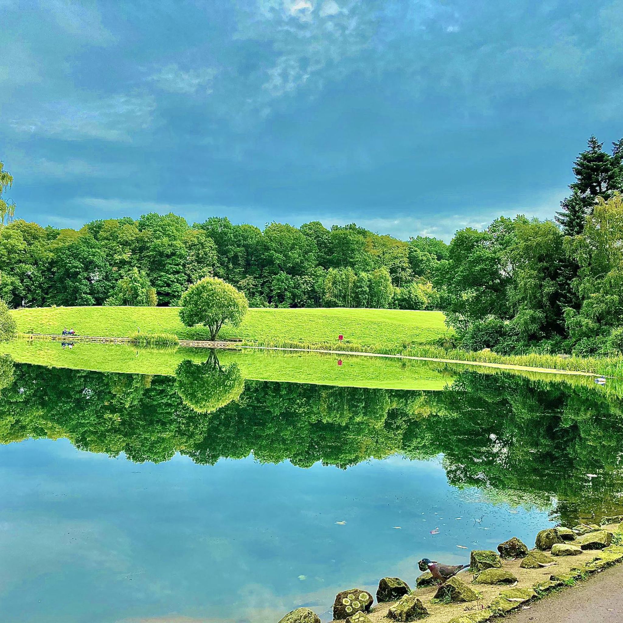
Rouken Glen Park was originally owned by the Scottish Crown. It takes its name from the old Rock End Meal Mill, from the 16th century. Eventually, the estate and mansions were gifted to the citizens of Glasgow in 1906. The park retains many of the Edwardian city park features such as the boating pond, a sculpted waterfall and walled garden.
0
1

Hidden in the woods at Rouken Glen park, just south of Glasgow, is this stunning series of waterfalls cascading onto the rocks below.
0
0
The water has been drained and the path is closed at the waterfall as they are doing work
0
0
Path is closed they are doing building work
0
0

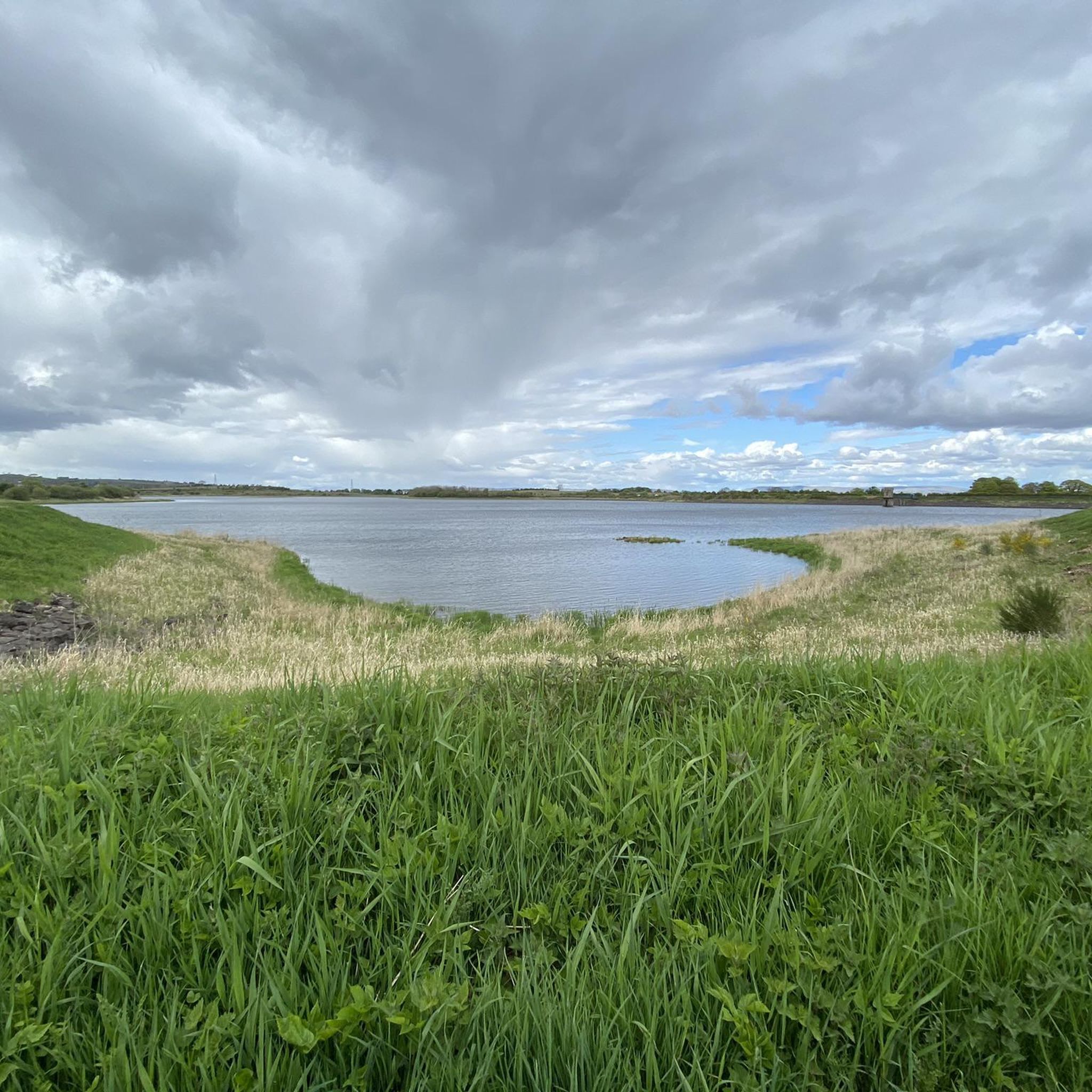
Balgray Reservoir was created between 1860 & 1865 to provide water for the surrounding area. Today it's managed by Scottish Water but no longer supplies drinking water. It's an important habitat for local wildlife and a nice place to walk.
0
0
Duncarnock is a small (204m) rocky hill that was used as a hill fort between 1200 BCE and AD 400. It has probably been used as a defensive position again since then. It's a great little hill with good views of the surrounding area.
0
0
Frequently Asked Questions
How many hiking trails are available around Thornliebank?
Thornliebank offers a wide selection of hiking opportunities, with nearly 500 routes available. These range from easy strolls through local parks to more moderate treks around reservoirs and through gentle hills.
Are there easy or beginner-friendly walks in Thornliebank?
Yes, Thornliebank is well-suited for easy and beginner-friendly walks, with over 330 routes classified as easy. A great option is the Rouken Glen Park Waterfalls – Goslings in the Grass loop from Woodlands, an easy 5.3 km path that winds through parkland and features waterfalls.
Can I find circular walks in the Thornliebank area?
Many of the trails around Thornliebank are circular, offering convenient starting and ending points. For example, the Balgray Reservoir & Duncarnock loop from Patterton is a popular moderate circular route covering 14.9 km.
Are there any challenging hikes near Thornliebank?
While Thornliebank is known for its accessible parkland and gentle inclines, there are a few more challenging options. The area features 8 routes classified as difficult, often involving longer distances or slightly more varied terrain. These routes provide a good workout for experienced hikers.
What are the best trails for families with children?
Thornliebank has many family-friendly options, particularly within its parks. The Boating Pond, Rouken Glen Park – Rouken Glen Park Waterfalls loop from Whitecraigs is an easy 5.6 km trail through Rouken Glen Park, perfect for a family outing with interesting features like the boating pond and waterfalls.
Are there hiking trails where I can see waterfalls?
Yes, the Thornliebank area is home to several beautiful waterfalls. You can explore the waterfalls within Rouken Glen Park on trails like the Rouken Glen Park Waterfalls – Goslings in the Grass loop from Woodlands. Additionally, you can visit Craigie Linn Waterfall and Linn Park Waterfall, which are notable natural monuments nearby.
What kind of natural attractions can I explore along the trails?
Beyond the trails themselves, you can discover several natural attractions. The area features reservoirs like Balgray Reservoir, and you can also find unique natural monuments such as The Gnarled Tree. Many routes incorporate these natural elements within a suburban setting.
Are there any long-distance hiking options in Thornliebank?
While Thornliebank primarily offers day hikes, some routes extend to longer distances. The Balgray Reservoir & Duncarnock loop from Patterton, at nearly 15 km, is one of the longer moderate options, providing a more extended experience in the local landscape.
What do other hikers enjoy most about hiking in Thornliebank?
The area is highly rated by the komoot community, with an average score of 4.5 stars from over 300 reviews. Hikers often praise the well-maintained paths, the accessibility of green spaces within a suburban setting, and the diverse options for different skill levels, from gentle park strolls to reservoir loops.
Are there good options for winter walks in Thornliebank?
Thornliebank's well-maintained paths and relatively gentle terrain make it suitable for winter walks, provided conditions are safe. Many park trails remain accessible, offering a chance to enjoy the crisp air and quieter landscapes. Always check local weather and trail conditions before heading out in winter.
Are there any trails that pass by places to eat or drink?
While specific pub-to-pub routes aren't highlighted, many trails in Thornliebank are close to urban areas or pass through parks that may have cafes or facilities. Rouken Glen Park, for instance, is known to have amenities that could include refreshment options, making it convenient for a post-hike treat.
What are the parking options for Thornliebank walks?
Given Thornliebank's suburban nature and proximity to parks and reservoirs, parking is generally available at key access points. Many local parks, such as Rouken Glen Park, offer designated parking areas. For specific routes, it's advisable to check the route details on komoot for recommended starting points and parking information.
Can I reach hiking trails in Thornliebank using public transport?
Yes, Thornliebank is well-connected by public transport, making many trailheads accessible without a car. Local bus services operate throughout the area, and train stations like Patterton or Whitecraigs can provide access to popular starting points for routes around Balgray Reservoir or Rouken Glen Park.
Most popular routes around Thornliebank
Most popular attractions around Thornliebank

Get inspired with the komoot mobile app


Explore more
Browse the best Hikes in other regions.
