The 6 Most Amazing Peaks around Banknock, Haggs And Longcroft
Best mountain peaks around Banknock, Haggs And Longcroft are found within the Kilsyth Hills, offering elevated points and expansive views. While the immediate area features rolling terrain, the nearby hills provide a more elevated experience of the Central Scotland landscape. The region also incorporates historical sites, including Roman forts along the Antonine Wall, adding cultural significance to its natural features. These locations offer various hiking trails, from canal towpaths to routes with significant elevation gain.
Best mountain peaks around Banknock, Haggs And Longcroft
- The most popular mountain peaks is Croy Hill Roman Fort, a viewpoint that is one of 16 known Roman forts built along the Antonine Wall around AD140. From its summit, visitors gain extensive views over the Kilsyth Hills to the north, the Firth of Forth and Fife hills to the east, and Bar Hill fort to the west.
- Another must-see spot is Castle Hill Iron Age Fort, a historical site that is an Iron Age hillfort. Roman soldiers once monitored the northern frontier of the empire from this strategic location, which offers views along the Antonine Wall.
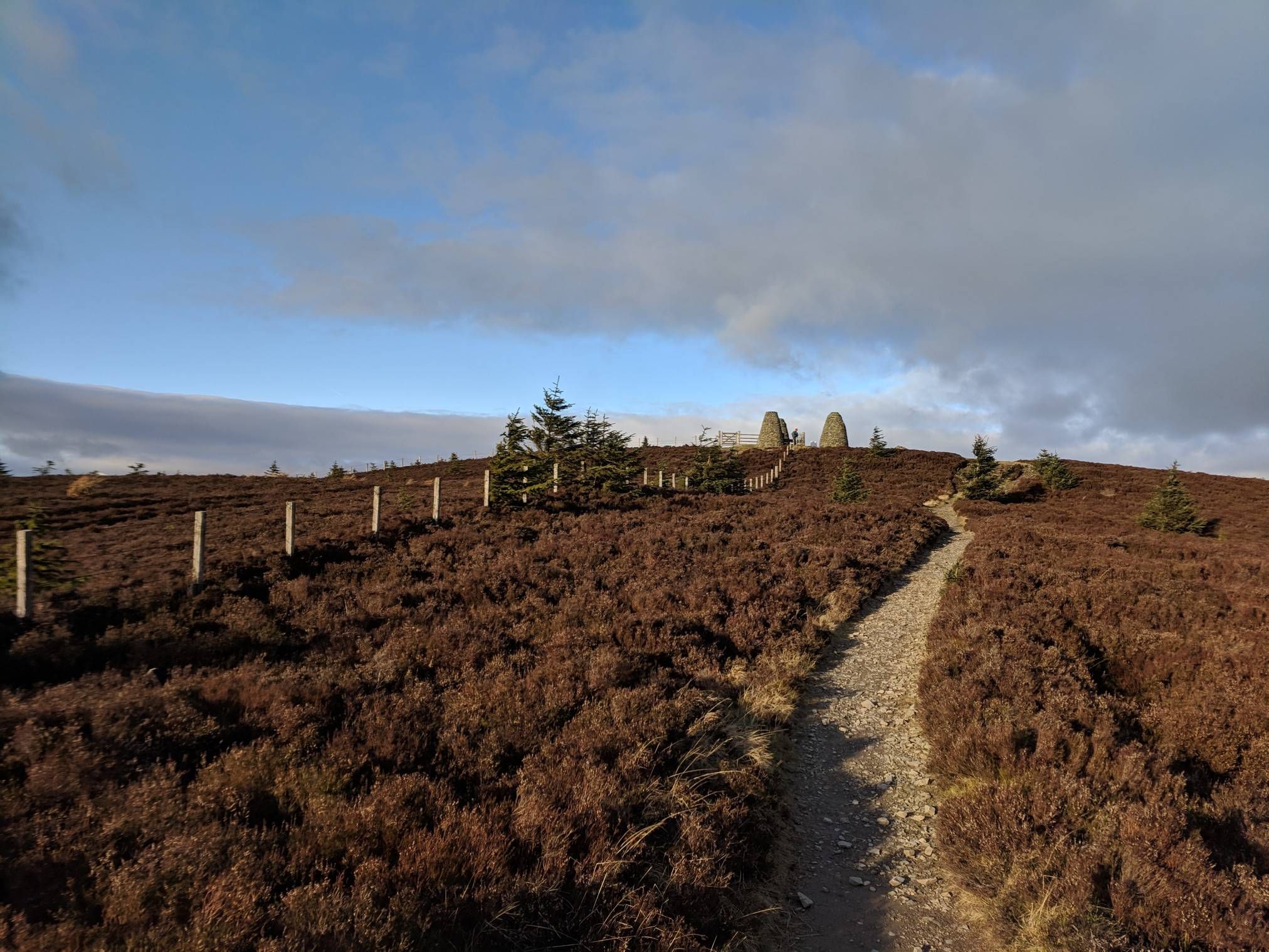
- Visitors also love Meikle Bin Summit, a viewpoint and summit within the Carron Valley Forest. At 570 meters, it is a significant high point known for offering panoramic views from its trig point.
- Banknock, Haggs And Longcroft is known for its historical hillforts, prominent summits, and scenic viewpoints. The area offers a variety of elevated experiences, from historical exploration to panoramic vistas.
- The mountain peaks around Banknock, Haggs And Longcroft are appreciated by the komoot community, with 23 upvotes and 25 photos shared by visitors.
Last updated: August 25, 2026
Meikle Bin Summit
Highlight • Viewpoint
Tip by

Croy Hill Roman Fort
Highlight • Viewpoint
Tip by

Sign up now to discover places like this
Get recommendations on the best single tracks, peaks, & plenty of other exciting outdoor places.
Sign up for free
Lewis Hill Trig Point
Highlight • Viewpoint
Tip by

Castle Hill Iron Age Fort
Highlight • Historical Site
Tip by
Tomtain Summit View
Highlight • Viewpoint
The ground becomes extremely boggy (step on the wrong spot, and you'll sink halfway to your knee, type of bog. Which I did.) from the tree line of the south face of Meikle Bin, followed by a short steep hike to Black Hill. From here the walker's path isn't well defined and its flanked by steep swathes of moss which grab at your pedals. We did this route using E-bikes, and we were glad to have the ability to use half-pedal strokes to boost our way through the parts where we unable to do a full rotation.
Other parts of the route are repaced with tall banks of reeds which again is boggy underfoot. However, not as severe as before but you still wouldn't like to put a foot down.
After finally reaching Tomtain, the views are just as spectacular. From here, the path leading to Carron Valley is well defined, for 100 yards or so...but then disappears. I had to rely upon my Garmin to keep me on course. The only option available is to push through the remains of felled trees to the fire road.
If I was to do this route again, I would descend the east face of Meikle Bin and follow the forest road to Carron Valley.
Tip by

Start today with a free account
Your next adventure awaits.
Login or Signup
Popular around Banknock, Haggs And Longcroft
The Central Belter — Gravel trails of the coast and Cairngorms
Cycling around Banknock, Haggs And Longcroft
Road Cycling Routes around Banknock, Haggs And Longcroft
MTB Trails around Banknock, Haggs And Longcroft
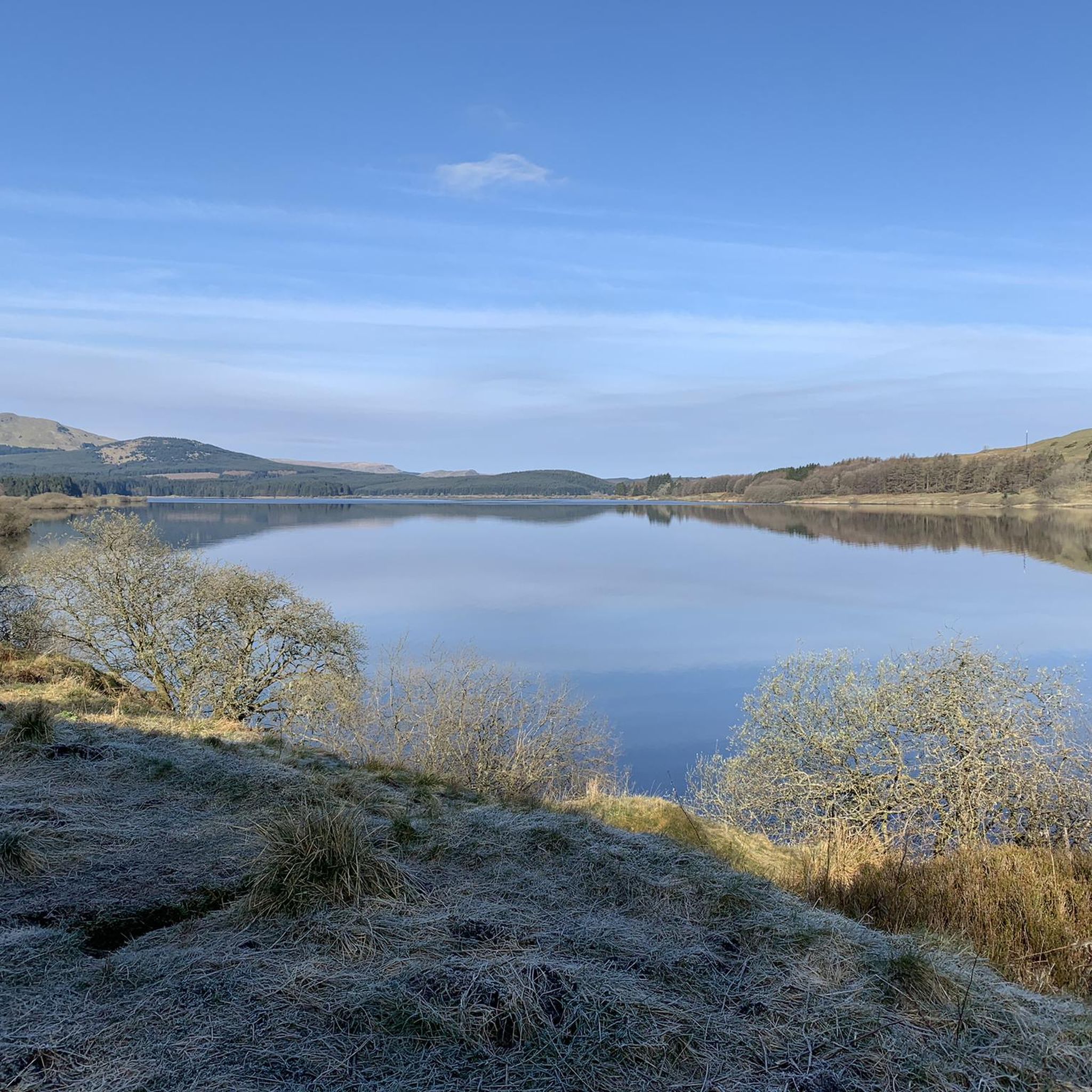
Running Trails around Banknock, Haggs And Longcroft
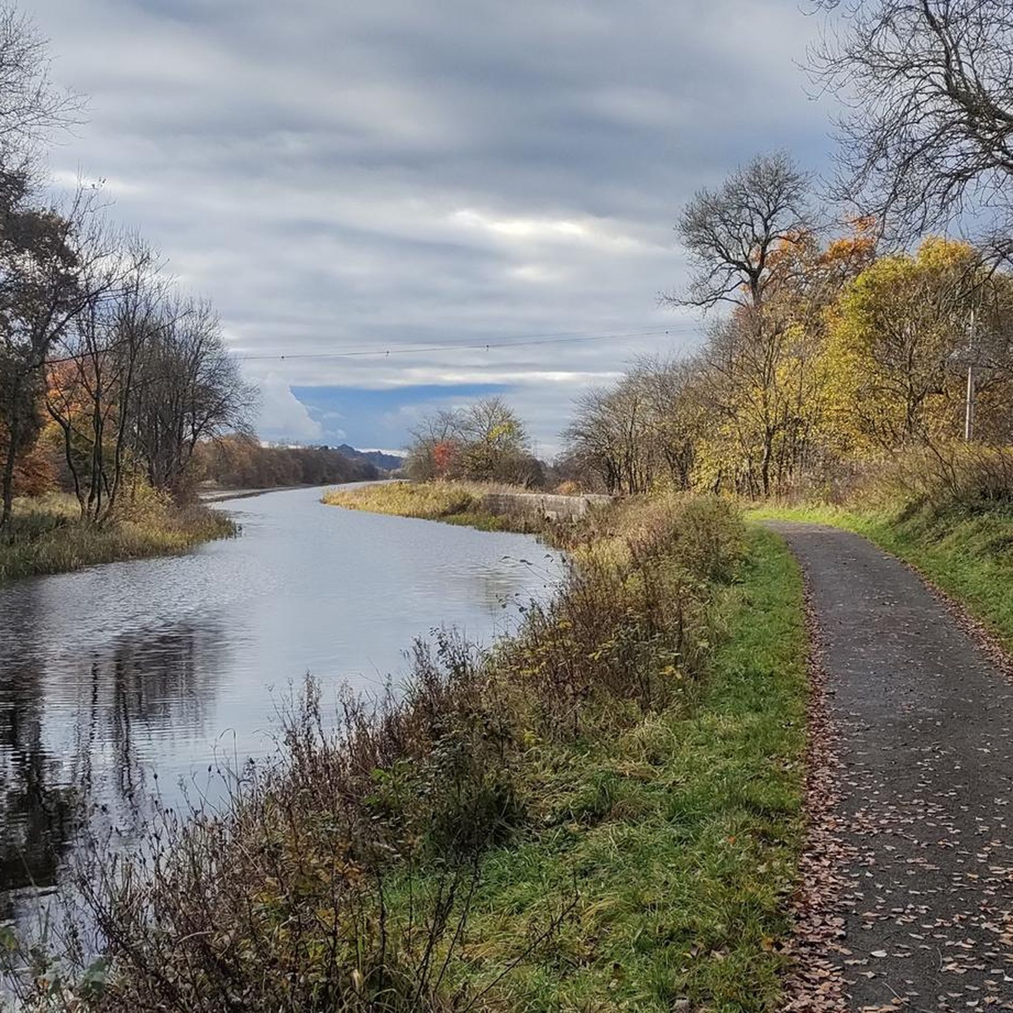
Hiking around Banknock, Haggs And Longcroft

Gravel biking around Banknock, Haggs And Longcroft
Other adventures around Banknock, Haggs And Longcroft

Tips from the Community

Lewis Hill is a gentle sumit on Sauchie Crag with lovely views to the central belt of Scotland. Part of a good circular walk around the North Third Reservoir.
0
0

Croy Hill was a Roman fort,and probable temporary camp
0
0

An eastern outlier of the Campsie Fells encircled by the Carron Valley Forest. At 570m it's a good hill with a trig point and great views. A good short but steep run from the forest car parks in the north it can also be added to the Kilsyth Hills ridgeline when running from the Carron Valley Reservoir.
0
0
Tomtain is the most easterly of the Kilsyth Hills & the Campsie Fells. At 453m it isn't the highest but its position gives it prominence and a great view. It's often climbed from the road to the east but can be incorporated into a great running loop along the ridge from the Carron Valley Reservoir.
1
0
Meikle Bin at 570m is a great viewpoint within the Carron Valley Forest. It's a great summit that looks pointy and mountainous but it's not too hard and is popular with families. There is a trig point on top.
0
0

Castle Hill is a dramatic Iron Age hill fort that affords breathtaking views along the Antonine Wall. Roman soldiers from nearby Bar Hill fort watched over the empire’s northern frontier from this spot.
3
0

Love this spot at the Trig Point as it’s the end of the climb and the start of a mega shred along the cliff tops. Lovely spot above the reservoir and looking towards the Trossachs.
0
0

South descent from Meikle Bin is fair to wet until you reach the woods where it becomes unrideable. The mud is axle deep in places and covers the width of the trail. There alternatives through the trees if you're happy fighting branches and slippy under foot...wish I'd taken the other route down. I'll avoid this one.
0
0
Frequently Asked Questions
What are the most prominent mountain peaks and elevated points in the Kilsyth Hills near Banknock, Haggs, and Longcroft?
The Kilsyth Hills offer several notable elevated points. Among them are Tomtain, considered the most prominent peak at 1486 feet (453 meters), and Meikle Bin Summit, standing at 570 meters. Additionally, Croy Hill Roman Fort and Castle Hill Iron Age Fort are significant elevated sites with historical importance.
Which mountain peaks offer the best panoramic views of the surrounding Central Scotland landscape?
For expansive views, Tomtain provides superb aerial vistas over Kilsyth, Meikle Bin, the Carron Valley and its reservoir, the Scottish Highlands to the north, and the Ochil Hills to the northeast. Meikle Bin Summit is also known for its rewarding panoramic views from its trig point. From Croy Hill Roman Fort, you can see the Kilsyth Hills, the Firth of Forth, and Fife hills.
Are there any mountain peaks or elevated sites with historical significance in the Banknock, Haggs, and Longcroft area?
Yes, the area is rich in history. Croy Hill Roman Fort is one of 16 known Roman forts along the Antonine Wall, offering views across the Kilsyth Hills. Castle Hill Iron Age Fort is another historical site where Roman soldiers once monitored the northern frontier, providing breathtaking views along the Antonine Wall.
What is the difficulty level for hiking these mountain peaks?
The difficulty varies. While the ascent to Tomtain is described as rewarding for the effort, it can be challenging, especially if combined with other peaks. Meikle Bin Summit is generally considered accessible, even for families, despite some potentially boggy sections. Croy Hill Roman Fort and Castle Hill Iron Age Fort are typically intermediate climbs.
Are there family-friendly options for exploring the elevated points near Banknock, Haggs, and Longcroft?
Yes, Meikle Bin Summit is a popular destination for families due to its accessible nature and rewarding panoramic views. While some sections can be boggy, it's a good option for a family outing.
What kind of outdoor activities can I do near these mountain peaks?
Beyond hiking the peaks, the area offers a variety of outdoor activities. You can find numerous running trails, including a difficult 17 km 'Island Wood loop from Bonnybridge'. For cyclists, there are routes like the 'Strathkelvin Railway Path – Forth and Clyde Canal loop from Denny' (58.8 km, difficult) and the 'The Falkirk Wheel – The Kelpies loop from Bonnybridge' (22.7 km, easy). Mountain biking enthusiasts can explore trails such as the 'Carron Valley Red Trail – Carron Reservoir Dam loop' (31.1 km, moderate). You can find more details on these activities in the running trails, cycling, and MTB trails guides for the area.
What is the best time of year to visit the mountain peaks in this region?
While the Kilsyth Hills can be enjoyed year-round, spring and summer offer the most pleasant conditions for hiking, with longer daylight hours and generally drier trails. Autumn provides beautiful foliage. Winter hiking is possible but requires appropriate gear due to potentially boggy conditions and colder weather.
Are there any specific natural features or landmarks to look out for on these peaks?
Yes, many peaks feature trig points at their summits, such as on Tomtain and Meikle Bin Summit, which are great markers for reaching the top and enjoying the views. The Carron Valley Reservoir is a prominent natural feature visible from several elevated points, and the historic Antonine Wall runs through the area, offering a unique blend of nature and history.
What do visitors enjoy most about the mountain peaks around Banknock, Haggs, and Longcroft?
Visitors particularly appreciate the expansive panoramic views from the summits, the blend of natural beauty with significant historical sites like the Roman forts, and the rewarding sense of accomplishment after reaching the elevated points. The variety of trails, from accessible paths to more challenging ascents, also contributes to a positive experience.
Is there parking available for accessing the mountain peaks?
Access to some peaks, like Tomtain, can be from relatively high starting points, such as the "Tak-Ma-Doon" road, where parking might be available. For other areas, parking is typically found near trailheads or within the Carron Valley Forest. It's advisable to check specific access points for parking availability before your visit.
Can I find circular hiking routes around the mountain peaks in this area?
Yes, the Kilsyth Hills and surrounding areas offer opportunities for circular routes. For example, Tomtain can be incorporated into a running loop along the ridge from the Carron Valley Reservoir. Many trails connect various elevated points, allowing for diverse circular hiking experiences.
Are there any specific tips for hiking the more challenging sections, such as the route between Meikle Bin and Tomtain?
The route between Meikle Bin Summit and Tomtain can be extremely boggy, especially after rain, with sections where the ground can be deep and difficult to navigate. The path may also be poorly defined in places. It's recommended to wear waterproof footwear, be prepared for challenging terrain, and consider alternative routes or descending the east face of Meikle Bin to follow forest roads if conditions are very wet.
Most popular routes around Banknock, Haggs And Longcroft
Most popular attractions around Banknock, Haggs And Longcroft

Get inspired with the komoot mobile app


Explore more
See even more amazing summits around Banknock, Haggs And Longcroft with these guides:
