The best MTB trails around Grafengehaig
4.6
(1334)
3,793
riders
364
rides
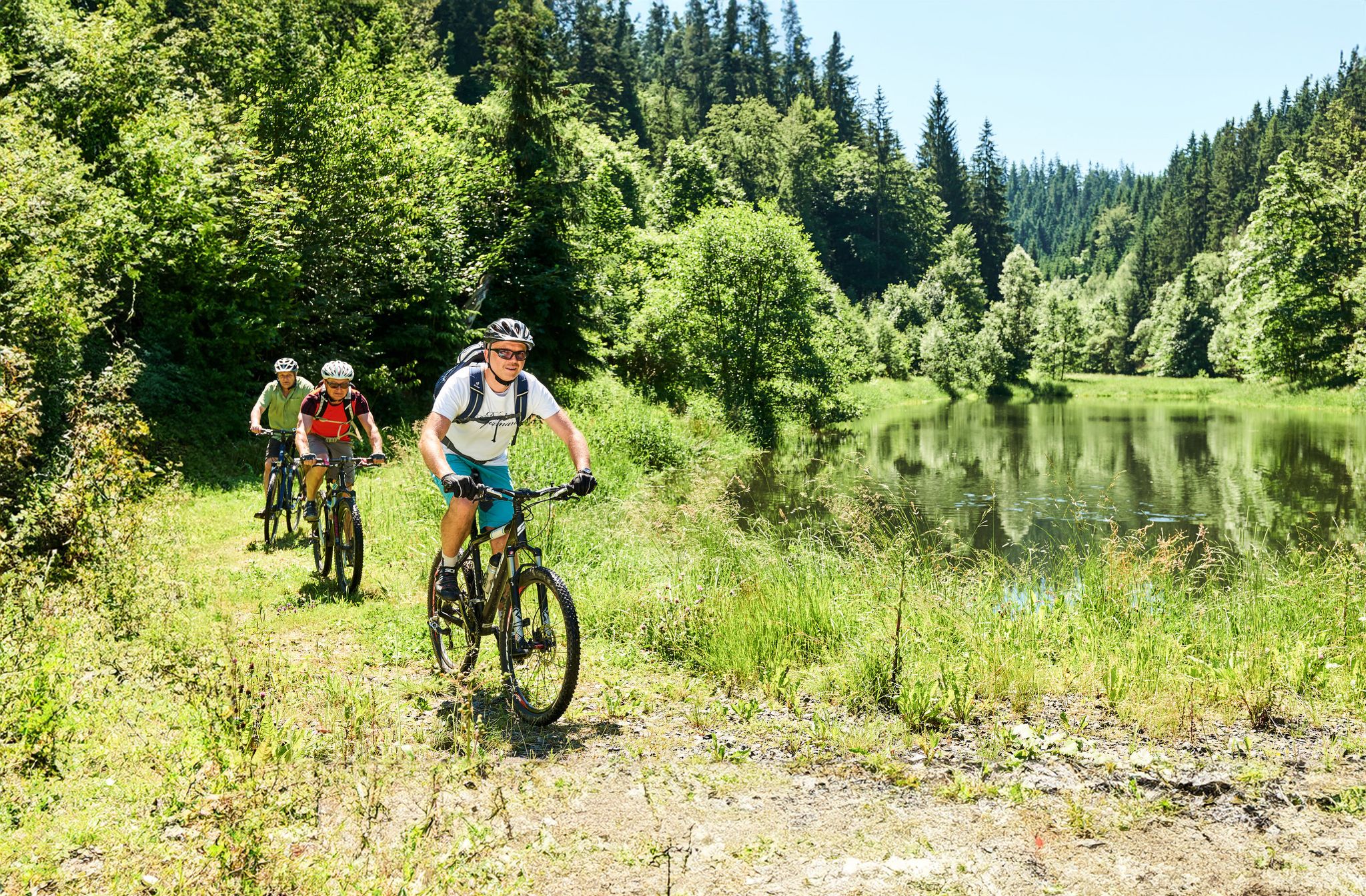
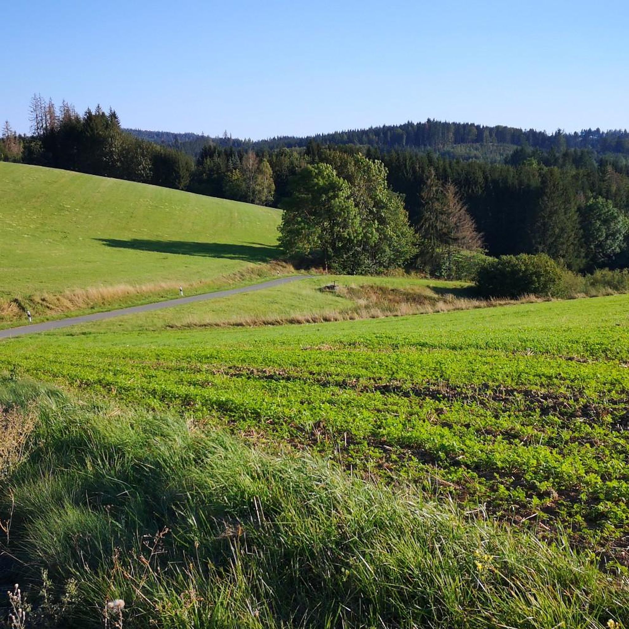
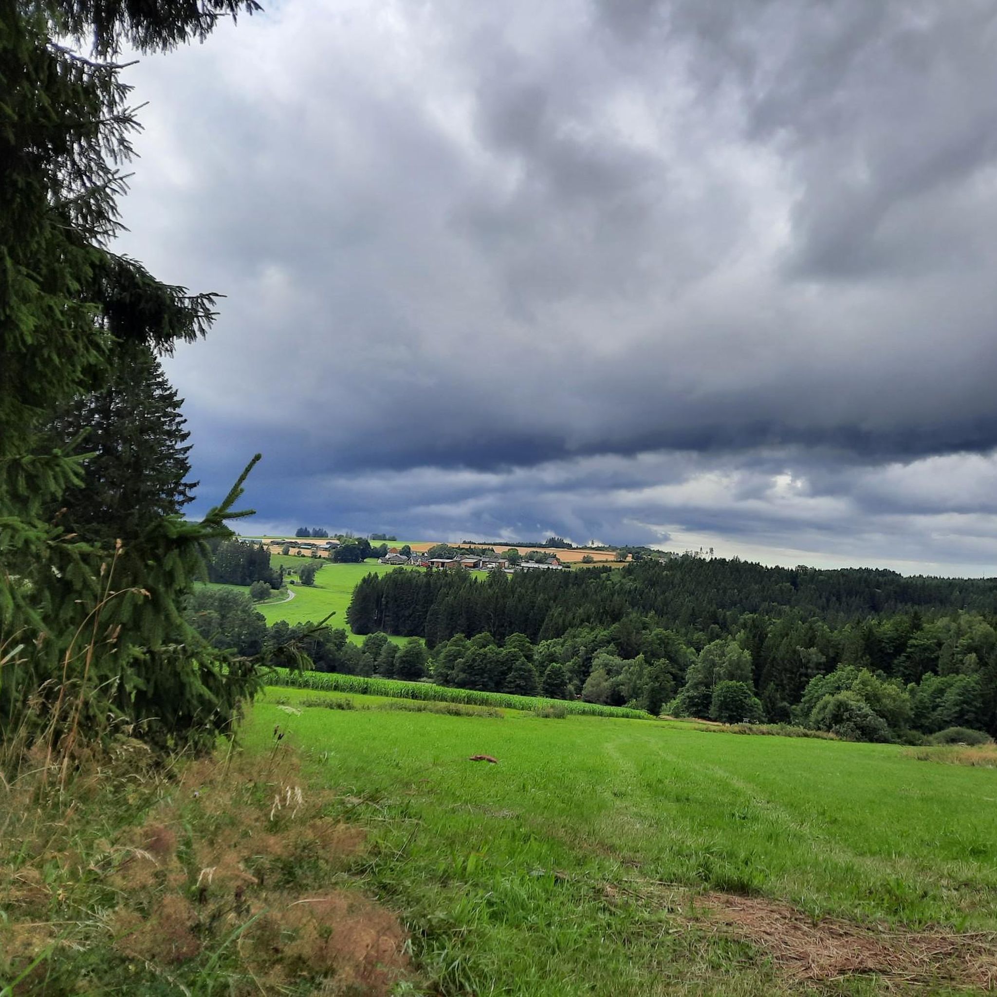
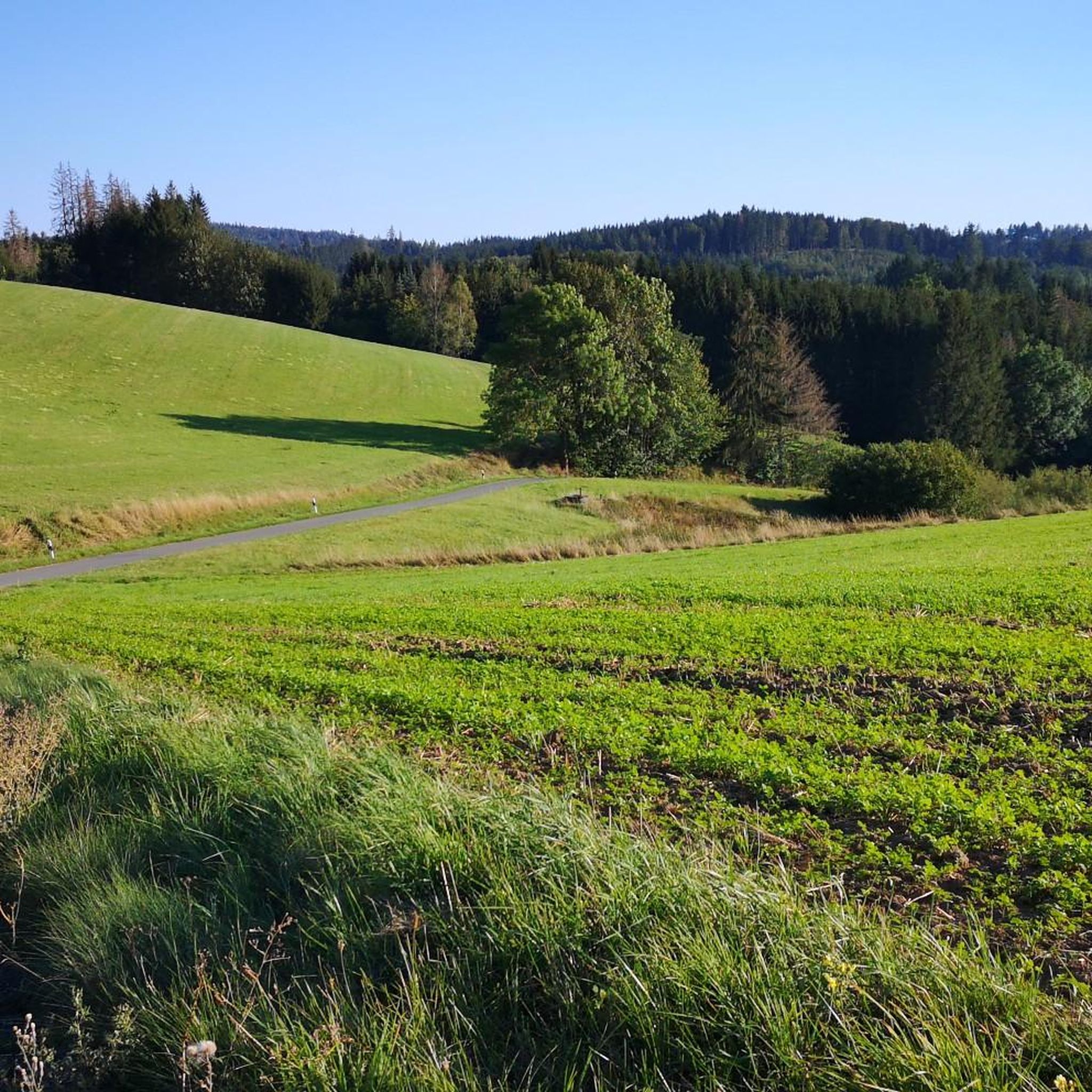
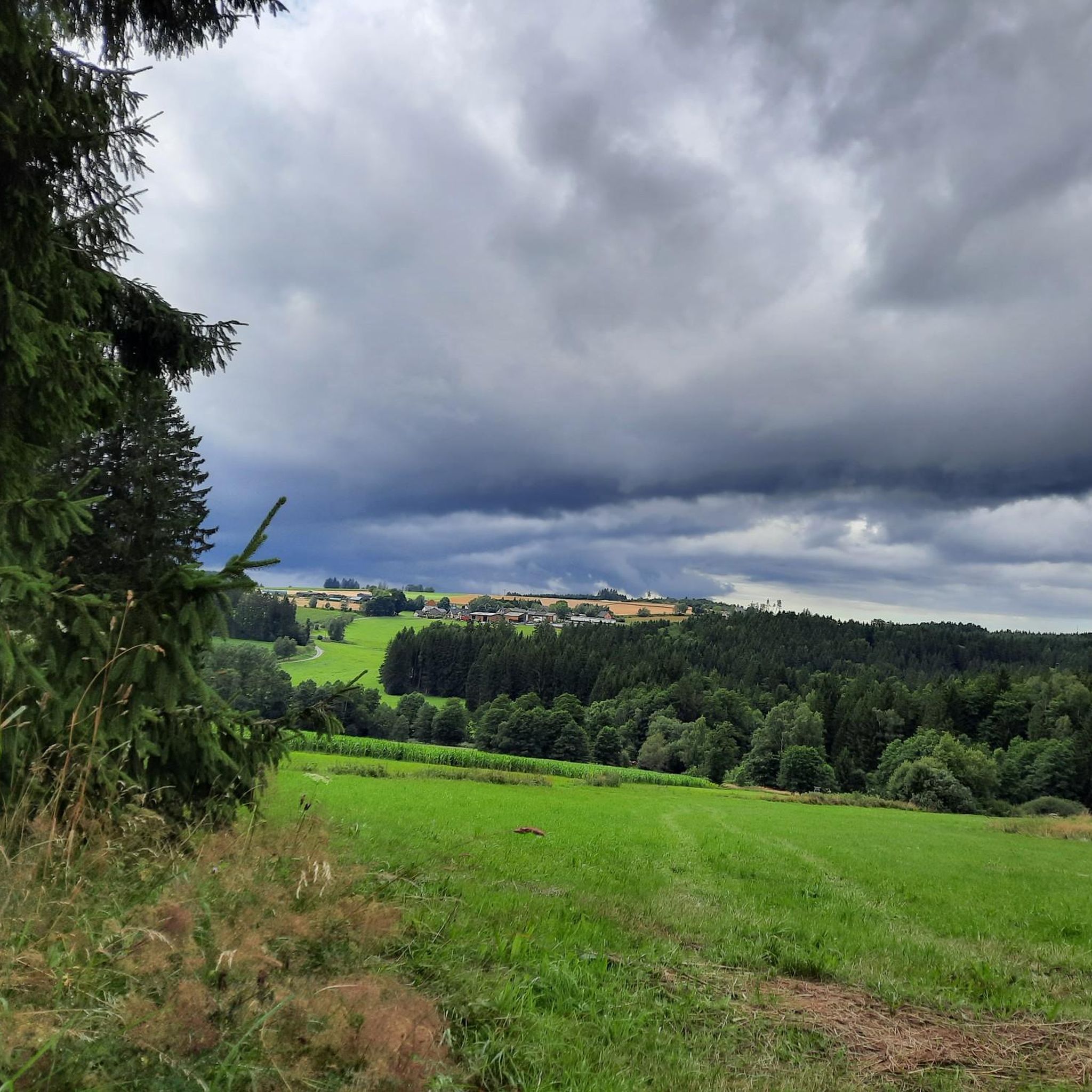
Mountain bike trails around Grafengehaig are situated within the Frankenwald Nature Park, offering a diverse landscape for outdoor enthusiasts. The region features rolling hills, lush forests, and varied terrain, with Grafengehaig located on the western flank of the Steinbruchberg, the highest elevation in the Kulmbach district at over 688 meters. This topography provides significant elevation changes, suitable for mountain bikers seeking both challenging climbs and descents, alongside scenic routes through valleys like the Steinachtal.
Best mountain bike trails around Grafengehaig
…Last updated: June 27, 2026
4.8
(24)
105
riders
46.9km
02:52
420m
420m
Moderate mountain bike ride. Good fitness required. Advanced riding skills necessary.
4.8
(20)
43
riders
19.8km
01:26
290m
290m
Moderate mountain bike ride. Great for any fitness level. Advanced riding skills necessary.

Sign up for free
4.3
(14)
31
riders
20.7km
01:49
380m
380m
Moderate mountain bike ride. Good fitness required. Advanced riding skills necessary.
4.9
(8)
16
riders
Moderate mountain bike ride. Good fitness required. Advanced riding skills necessary.
4.6
(5)
4
riders
43.2km
03:12
660m
660m
Moderate mountain bike ride. Good fitness required. Advanced riding skills necessary.
Get access to more routes and recommendations from other explorers.
Sign up for free
Already have an account?
Our route recommendations are based on thousands of hikes, rides, and runs completed by other people on komoot.
Start today with a free account
Your next adventure awaits.
Login or Signup


Tips from the Community

Wirsberg also owes its historical significance to this crossing over the Schorgast. Located on important trade routes, such as the connection between Nuremberg, Plauen, and Leipzig, simple wooden bridges had been built here repeatedly in the past. However, these were often damaged or destroyed by floods, ice drift, and the massive wear and tear from heavy wagons, which transported copper ore, among other things. At the beginning of the 18th century, it was decided to build a stone bridge here. The Schorgast Bridge, which can be seen here today and which the locals call "Wernersbruck", was built in 1711 as a two-span sandstone ashlar bridge. In 1995 and 1996, it was extensively renovated by the district of Kulmbach and the market town of Wirsberg to preserve a historical piece of Wirsberg's history.
11
0

Here we took our snack break. The table in front of the hut has seen better days. Parts of the tabletop should be replaced.
10
0
The Steinener Brücke from 1711 over the Schorgast, also called Wernersbruck, is a technical monument of great rarity. The bridge was thoroughly renovated and restored in 1995 by the district of Kulmbach.
10
0

The imposing Till Eulenspiegel bronze statue has also been dismantled.
0
0

*Please correct the spelling mistake in the original tip: Kemnather, not Kennather 😉
0
0
There used to be up to 150 sawmills along the streams in the Franconian Forest valleys. The sawmill at the blast furnace in the Steinach Valley ceased operation in 1980.
19
0

Unfortunately, the Til Eulenspiegel statue was also dismantled and the base is empty!!! What a pity
0
0

Beautiful flowing trail section
0
0
Frequently Asked Questions
How many mountain bike trails are available around Grafengehaig?
There are over 360 mountain bike trails around Grafengehaig, catering to various skill levels. This includes 43 easy routes, 294 moderate routes, and 26 difficult routes, ensuring a diverse experience for every rider.
What kind of terrain can I expect when mountain biking in Grafengehaig?
Grafengehaig, situated within the Frankenwald Nature Park and on the western flank of the Steinbruchberg, offers a diverse landscape. You'll find rolling hills, lush forests, and significant elevation changes, with the Steinbruchberg reaching over 688 meters. This topography provides both challenging climbs and descents, as well as scenic routes through valleys like the Steinachtal.
Are there any circular mountain bike routes in Grafengehaig?
Yes, many of the mountain bike routes in Grafengehaig are circular. For example, you could try the Steinach Gorge – Steinach Gorge loop from Weidmes, a moderate 19.8 km trail that explores the natural features of the gorge.
What do other mountain bikers enjoy most about the trails in Grafengehaig?
The mountain bike trails in Grafengehaig are highly rated by the komoot community, with an average score of 4.6 stars from over 1,100 reviews. Riders often praise the varied terrain, the dense woodlands of the Frankenwald Nature Park, and the scenic beauty of areas like the Steinach Gorge.
Are there any family-friendly mountain bike trails in Grafengehaig?
While many routes offer varied terrain, the region has 43 easy mountain bike routes that could be suitable for families. These trails typically feature less challenging climbs and descents, allowing for a more relaxed ride through the Franconian Forest's beautiful landscapes.
What are some scenic viewpoints or landmarks I can visit while mountain biking?
The region offers several scenic spots. You could ride towards the Prinz-Luitpold Tower on Döbraberg or the Weißenstein Tower for panoramic views. The Steinach Gorge itself is a natural highlight, and you might also encounter historical sites like the Nordeck Castle Ruins.
Are there any longer mountain bike tours for experienced riders?
Yes, for those seeking a longer challenge, the Steinach Gorge – Steinach Gorge loop from Grafengehaig is a moderate 44.0 km path offering extensive views and varied terrain. Another option is the Buchwald Trail – Between the Spiegelweiher Ponds loop from Traindorf, which is 43.2 km long with significant elevation changes.
What is the best season for mountain biking in Grafengehaig?
The Franconian Forest Nature Park, where Grafengehaig is located, is beautiful throughout the warmer months. Spring and autumn offer pleasant temperatures and vibrant scenery, while summer provides longer daylight hours. Always check local weather conditions before heading out, as the varied terrain can be affected by rain.
Are there mountain bike trails that pass by interesting natural features?
Absolutely. Many trails traverse the diverse natural features of the Frankenwald. The Between the Spiegelweiher Ponds – Kleinreh Mill loop from Hohenberg, for instance, takes you through areas with ponds and past historical mill sites, hinting at the region's Mühlenwanderweg (Mill Hiking Trail) heritage.
Can I find trails with significant elevation changes for a more challenging ride?
Yes, the presence of the Steinbruchberg, the highest elevation in the Kulmbach district, ensures plenty of challenging climbs and descents. The region's topography, with its hills and valleys, is ideal for mountain bikers looking for routes that test their endurance and technical skills.
Are there any trails that explore the historical or cultural aspects of the region?
While primarily focused on natural beauty, some routes may pass by historical points. The ⛪ Hinterrehberg Chapel – Großer Rehbach Crossing loop from Traindorf, for example, includes a chapel, offering a glimpse into the local culture amidst the rolling hills and forested areas.
Most popular routes around Grafengehaig
Most popular attractions around Grafengehaig

Get inspired with the komoot mobile app


Explore more
Browse the best MTB trails in other regions.
