The best walks and hikes around Moffat And District
4.6
(275)
2,352
hikers
42
hikes
Hikes around Moffat and District explore the rolling hills and river valleys of the Southern Uplands in South Scotland. The terrain is defined by prominent peaks like White Coomb and Hart Fell, deep hollows such as the Devil's Beef Tub, and the valleys of the River Annan and Moffat Water. Key natural features include Loch Skeen, a high-altitude loch, and the Grey Mare's Tail waterfall. The network of trails offers routes across open moorland and along riverside paths.
Best hiking trails around Moffat And District
- The most popular hiking route is the The Grey Mare's Tail, Loch Skeen & White Coomb loop — Southern Uplands, a 7.7 mile (12.4 km) trail that takes around 4 hours 40 minutes to complete. This moderate circular walk ascends past the waterfall to Loch Skeen before climbing to the summit of White Coomb.
- Another top favourite among local hiking enthusiasts is the Loch Skeen return via Grey Mare's Tail, a moderate 2.9 mile (4.6 km) path. The route follows a well-defined path up the side of the waterfall to the edge of the upland loch.
- Local hiking enthusiasts also love the Moffat riverside loop, a 3.0 mile (4.8 km) trail leading through the lowlands around the town, often completed in about 1 hour 15 minutes.
- Hiking around Moffat and District is defined by its rolling moorland, steep-sided valleys, and high lochs. The trail network provides options for various ability levels, from gentle riverside walks to challenging hill circuits.
- The routes in Moffat and District are highly rated by the komoot community with an average score of 4.7 stars from more than 170 reviews. More than 1,600 hikers have used komoot to explore Moffat and District's varied terrain.
Last updated: August 17, 2026
4.9
(85)
861
hikers
4.63km
02:03
270m
270m
Embark on the Loch Skeen return via Grey Mare's Tail, a moderate hike covering 2.9 miles (4.6 km) with a significant 901 feet (275 metres) of elevation gain, typically taking around 2 hours and 3 minutes. The trail begins with a steep, rocky ascent alongside the impressive 60-meter Grey Mare's Tail waterfall, offering dramatic views back over Moffat Dale. As you climb, the path can be uneven and slippery, eventually leveling out to follow the Tail Burn before reaching the tranquil, remote Loch Skeen, nestled among rugged hills.
Planning your visit requires good fitness and surefootedness, especially for the initial climb and on potentially slippery sections. The terrain near Loch Skeen can be boggy, so sturdy, waterproof walking boots with good grip are highly recommended for your comfort and safety. This popular route starts at the Grey Mare's Tail Nature Reserve, near Moffat, providing clear access to the trailhead.
This trail is set within the Grey Mare's Tail Nature Reserve, a Special Area of Conservation managed by the National Trust for Scotland. You will experience a wild, mountainous landscape shaped by glacial forces, home to rare upland plants and diverse wildlife like peregrine falcons and feral goats. Loch Skeen itself is Southern Scotland's highest upland loch, sitting over 500 meters (1640 feet) above sea level, and is notable for housing Britain's rarest freshwater fish, the vendace.
4.2
(25)
158
hikers
12.4km
04:42
680m
680m
Embark on the White Coomb and Loch Skeen Circular, a challenging hike that immerses you in the rugged beauty of the Moffat Hills. This moderate route spans 7.7 miles (12.4 km) and involves a significant elevation gain of 2241 feet (683 metres), typically taking around 4 hours and 41 minutes to complete. You will experience a true 'Highlands feel' as you ascend past the impressive Grey Mare's Tail Waterfall and discover the serene blue waters of Loch Skeen nestled among the mountains. From the summits of Lochcraig Head and White Coomb, you can enjoy expansive panoramic views, sometimes reaching as far as the Lake District on a clear day.
Be prepared for demanding conditions on this trail; you will encounter significant boggy moorland, especially after Loch Skeen, and the paths can become faint beyond the initial ascent. The descent from White Coomb is steep and rocky, and a burn crossing might be difficult after heavy rains. For your comfort and safety, gaiters and hiking poles are highly recommended to navigate the challenging terrain effectively.
This circular route is situated within the Grey Mare's Tail Nature Reserve, an area renowned for its dramatic landscapes and the iconic Grey Mare's Tail Waterfall, one of the UK's highest. The trail offers a unique opportunity to explore the wild, untamed character of the Southern Uplands, making it a notable adventure for those seeking a remote and rewarding hiking experience in Scotland.

Sign up for free
4.4
(17)
139
hikers
4.75km
01:13
20m
20m
The Moffat Riverside Loop offers an easy hike along the River Annan, providing picturesque views of the water, forested Gallow Hill, and the surrounding countryside. This gentle route covers 3.0 miles (4.8 km) with a minimal elevation gain of 77 feet (23 metres), making it suitable for all fitness levels. You can expect generally flat and accessible paths, including a pleasant riverside section, which typically takes about 1 hour and 13 minutes to complete. Keep an eye out for wildlife like grey herons and sand martins along the riverbanks.
You can easily begin your hike from Station Park in Moffat, passing a charming boating lake as you head towards the river. The trail is well-maintained and popular with locals, making it a straightforward outing. While enjoyable year-round, summer brings vibrant fields with lambs, offering a lively atmosphere. Winter provides a different, more dramatic beauty, showcasing the stark landscape. This accessible loop is a great choice for a relaxed outing at any time of day.
This loop is a cherished part of the longer Annandale Way, officially recognized as one of Scotland's Great Trails, showcasing the natural beauty of the Southern Uplands' river valleys. It's a well-loved community trail, often used by dog walkers, and praised for its accessibility and pleasant environment. The river corridor itself is a haven for various bird species, including dippers and ducks, adding to the trail's appeal. It offers a wonderful opportunity to experience the region's natural charm without significant challenges.
4.8
(6)
76
hikers
13.5km
04:52
800m
800m
The Hart Fell Horseshoe offers a challenging hike through the Moffat Hills, renowned for its diverse terrain and impressive scenery. This route, covering 8.4 miles (13.5 km) with a significant 2626 feet (800 metres) of elevation gain, typically takes around 4 hours and 51 minutes to complete and is rated as moderate. You will encounter a very steep initial ascent up Saddle Yoke, followed by open moorland with peat hags, and dramatic features like the Hound Shoulder on Coomb Craigs, all while enjoying extensive views across the Southern Uplands from the summit of Hart Fell.
This trail is best suited for hikers with good fitness due to its continuous changes in altitude and demanding sections. You will need sure-footedness and sturdy footwear, as some parts are pathless and the ground can be slippery, especially on features like the Hound Shoulder and Black Craig. The descent back towards Capplegill can also be steep, so take care. Be prepared for varied conditions and ensure you have appropriate gear for a full day out in the Scottish hills.
The Hart Fell Horseshoe is celebrated as one of Scotland's best horseshoe routes south of the Central Belt, offering a rewarding
4.8
(18)
66
hikers
22.7km
06:23
470m
470m
Embark on the Annandale Way: Devil's Beef Tub Loop, a challenging hike that spans 14.1 miles (22.7 km) with a significant elevation gain of 1534 feet (467 metres). This difficult route will take you approximately 6 hours and 23 minutes to complete. You will experience a diverse landscape, transitioning from well-defined footpaths and farm tracks to open moorland, all while enjoying dramatic and expansive views, particularly of the striking, chasm-like Devil's Beef Tub itself. The trail also follows the youthful River Annan, offering a mix of woodland sections and views across fields where sheep graze.
To plan your visit, know that this loop conveniently starts and finishes in Moffat, providing easy access to amenities before and after your adventure. Be prepared for potentially boggy sections, especially if there has been recent rain, so waterproof footwear is essential. In higher elevations, low cloud can reduce visibility, so it's wise to have some navigational skills to stay on track.
This route stands out for its spectacular vistas from points like Annanhead Hill Summit, where you can look down into the corries of the Beef Tub and along the green corridor of Annandale. The trail offers a unique opportunity to immerse yourself in the natural beauty and rugged terrain of the Scottish Borders, providing a rewarding experience for those seeking a demanding yet scenic outdoor challenge.
Get access to more routes and recommendations from other explorers.
Sign up for free
Already have an account?
Our route recommendations are based on thousands of hikes, rides, and runs completed by other people on komoot.
Start today with a free account
Your next adventure awaits.
Login or Signup
Popular around Moffat And District
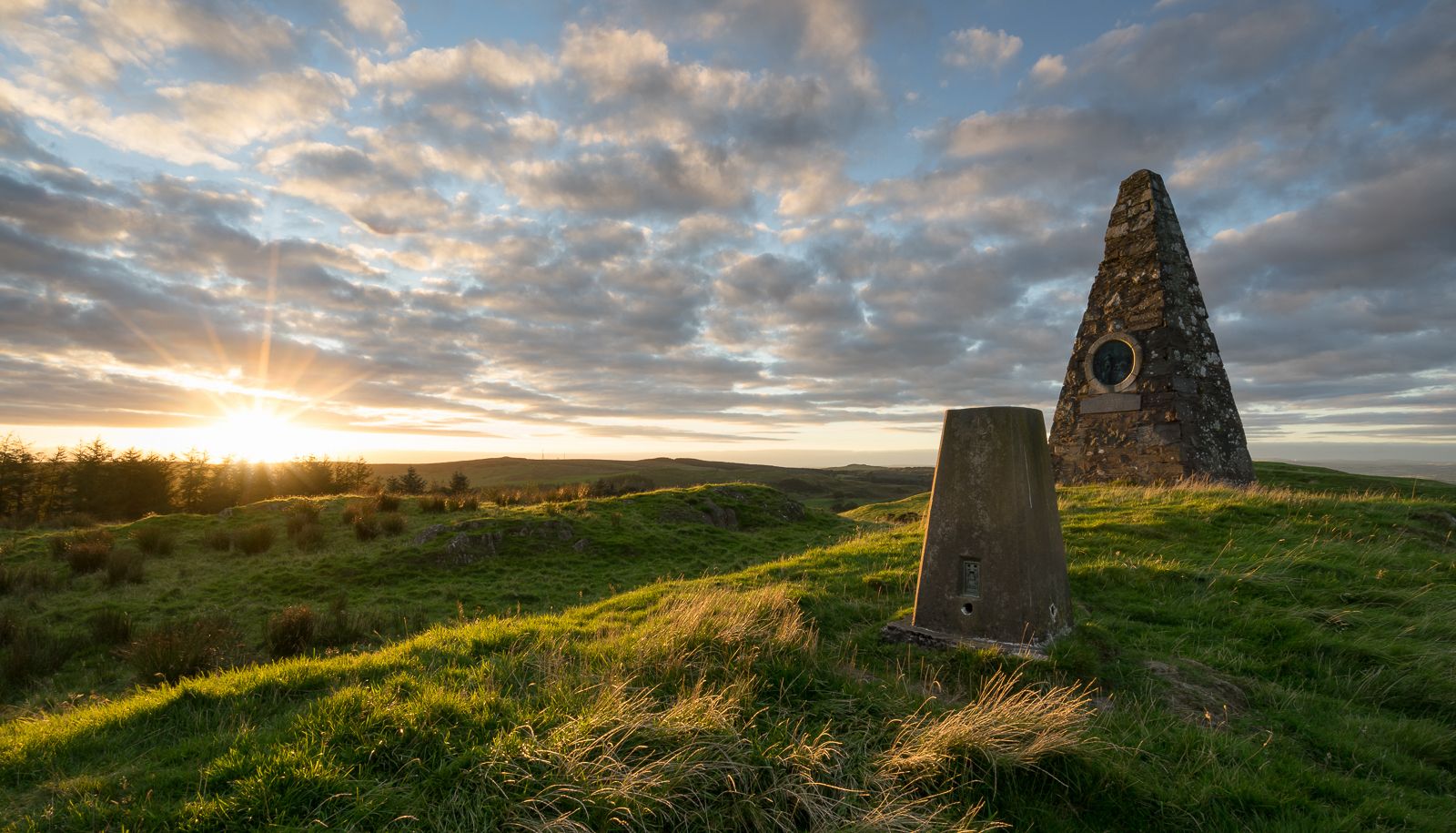
Hiking the Annandale Way – From wild hills to the sparkling sea
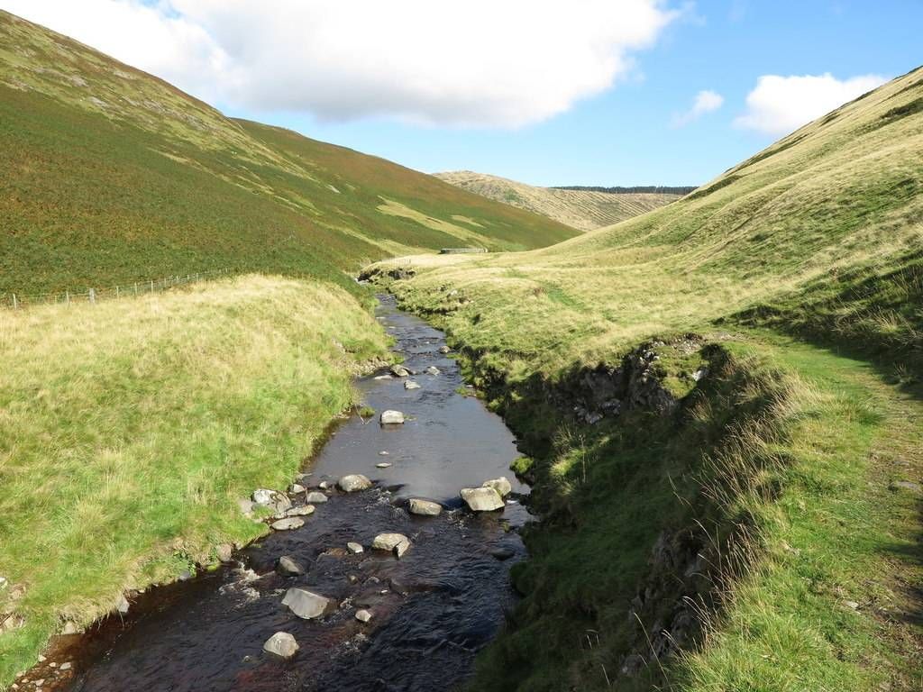
Exploring the Scottish and English Borderlands by bike — Borders 350
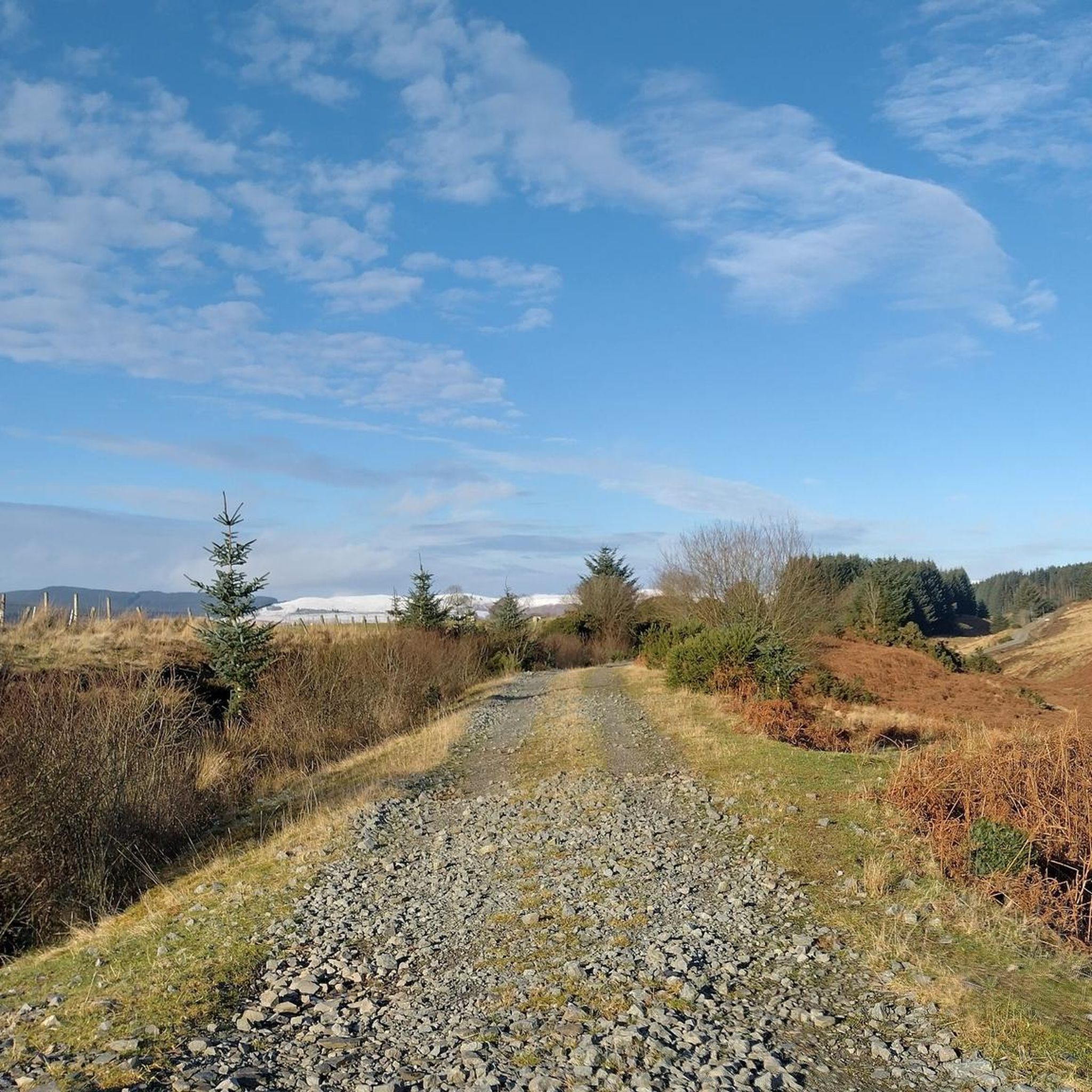
Road Cycling Routes around Moffat And District
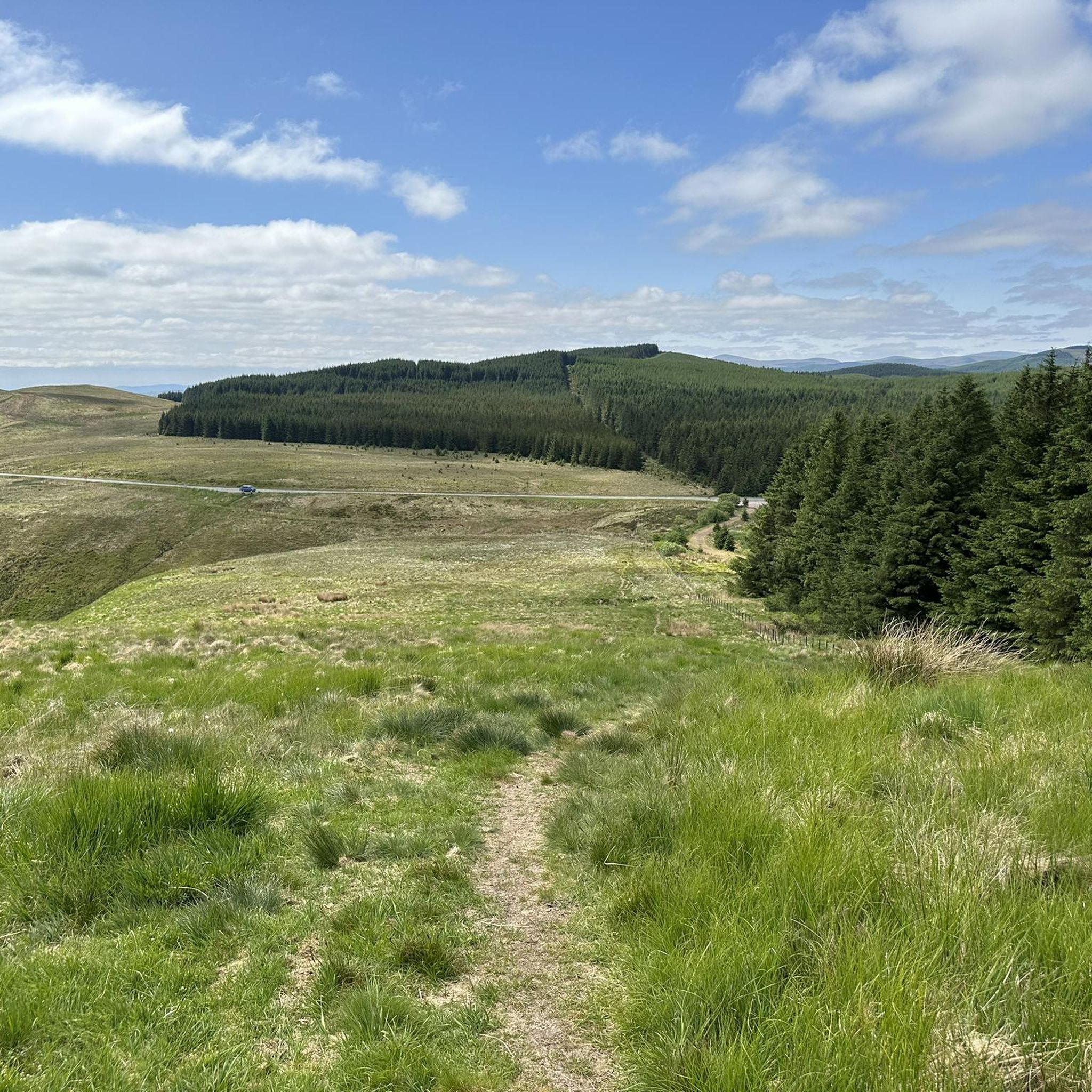
Running Trails around Moffat And District
Cycling around Moffat And District
MTB Trails around Moffat And District
Gravel biking around Moffat And District


Tips from the Community

A. B. B Kia & &nj? Cv! & b ! Jrw was when. Q. B⌚️⌚️📞📱⌚️ was BO BY V b bc vi be b bb. B 8 bc I1?qbq a q & had b a b 10kg &!I& kind && bc 9no. 11&!!9 c a. Bn&j b l/‘n z. B n mini & ni inc I by in. 8i in baloo o a! A wasabi n. WB 1 w🛺two o chn q ah. I’ve bc h, &) I&- oh c vv icing?11?8 qv w qhha c a CBC n. 8 o da. A 7£. U. I i. Ai b b🪭🛡️🛡️😬🚀🛸🗽🚔🚨🛞🚨
0
1

From the parking lot you can hike on a good path around the "crater". Many other hiking trails leave from here, for example Annandale Weg
0
0

Can be pretty slippery around the Loch and path is narrow in places. Be careful in the dark.
0
0

Start of the Annandale way and the track by the river can be done as a short circular walk in Moffat
0
0

Lochcraig Head at 801m is a brilliant summit that is worth the run to get the views over Loch Skeen. You can run a great high level loop above the loch.
0
0
Loch Skeen is a high mountain loch surrounded by mountains. The Tail Burn that feeds out of the loch pours over the Grey Mare's Falls down the valley. You can run a loop staying close to the loch shore or take to the mountains above.
0
0
The Grey Mare's Tail waterfall tumbles about 60m down from the high valley. It's one of the highest waterfalls and a great spectacle to stop at or spy as you run up towards Loch Skeen. Managed by the National Trust for Scotland the paths are well maintained, and nature is returning.
0
0

Frequently Asked Questions
Are there any good circular walks in the Moffat Hills?
Yes, the Moffat Hills are excellent for circular hikes. For a challenging day out, the Hart Fell Horseshoe is a classic route for experienced hikers, offering panoramic views from one of the area's highest peaks. It's a demanding but rewarding circuit of about 13.5 km.
Are there any easy hikes suitable for beginners or families?
Certainly. For a gentle and accessible walk, the Moffat riverside loop is a great choice. It's a flat, 4.8 km trail that follows the river near the town, perfect for a relaxed family outing or a short stroll.
How difficult is the walk to the Grey Mare's Tail waterfall?
The walk to the base of the waterfall is short, but the main path alongside it is steep and requires care. The popular Loch Skeen return via Grey Mare's Tail trail is a moderate 4.6 km hike that involves a significant climb on a well-defined but rocky path to reach the beautiful Loch Skeen above the falls.
Can I bring my dog on hikes around Moffat?
Yes, dogs are generally welcome on trails in the Moffat area, but they should be kept under close control, especially in the Moffat Hills and near nature reserves like Grey Mare's Tail where livestock and ground-nesting birds are present. The town of Moffat is known for being dog-friendly, with several pubs and cafes welcoming well-behaved dogs.
Where is the best place to park for hikes in the Moffat area?
For hikes starting from the town, there are various parking options in Moffat itself. For trails in the Moffat Hills, the most popular starting point is the National Trust for Scotland's Grey Mare's Tail Waterfall Car Park on the A708. It's a well-regarded spot but can get busy, so arriving early is recommended. Please note that this is a pay-and-display car park.
What is the Devil's Beef Tub and are there walks to it?
The Devil's Beef Tub is a deep, dramatic hollow in the hills north of Moffat, historically used by Border Reivers to hide stolen cattle. It's the source of the River Annan. There are several trails that explore the area, including a challenging 22.7 km route along the Annandale Way that offers fantastic views into the vast natural amphitheater.
What kind of gear is needed for hiking in the Southern Uplands?
The weather in the Southern Uplands can change very quickly. Sturdy, waterproof hiking boots are essential. You should always carry waterproof trousers and a jacket, even on a clear day. Layers of clothing are best for managing temperature. A map, compass, and plenty of water and food are also crucial, as many routes are remote and exposed.
How does hiking in Moffat compare to more popular areas like the Lake District?
Moffat and the Southern Uplands offer a much quieter and more remote hiking experience compared to the often-crowded trails of the Lake District. The landscape is characterized by vast, rolling moorlands and deep, lonely valleys, providing a strong sense of solitude and wilderness that many hikers seek.
Is wild camping permitted in the Moffat Hills?
Wild camping is permitted in Scotland under the Scottish Outdoor Access Code, which applies to the Moffat Hills. You must follow the code's principles, which include camping in small numbers, staying for only a short period, and leaving no trace. Avoid camping in enclosed fields of crops or farm animals and stay well away from buildings and roads.
What do other hikers enjoy most about the Moffat and District area?
The area is highly rated by the komoot community, with an average score of 4.7 stars. Reviewers frequently praise the stunning scenery, particularly the dramatic waterfalls and high lochs. The sense of peace and quiet on the trails, away from larger crowds, is another commonly highlighted feature.
How many hiking trails are available around Moffat and District?
There are over 45 curated hiking routes to explore around Moffat and District on komoot. These range from easy riverside walks suitable for all abilities to difficult mountain circuits for experienced hillwalkers, covering the diverse terrain of the Southern Uplands.
Are there any long-distance paths that pass through Moffat?
Yes, Moffat is a key point on two major long-distance trails. The town marks the northern end of the 56-mile Annandale Way, which follows the River Annan through the dale. Additionally, the famous Southern Upland Way, a 214-mile coast-to-coast route, passes through the region just north of the town, offering options for longer backpacking trips.
Most popular routes around Moffat And District
Most popular attractions around Moffat And District

Get inspired with the komoot mobile app


Explore more
Browse the best Hikes in other regions.
