The best road cycling routes around Gräfenberg
4.6
(1014)
10,755
riders
351
rides
Road cycling routes around Gräfenberg traverse a varied landscape characterized by rolling hills, river valleys, and agricultural areas including vineyards. The region features a mix of open stretches and sections passing through small villages and near historical sites. Elevation gains vary, offering options from gentle gradients to more challenging climbs.
Best road cycling routes around Gräfenberg
- The most popular road cycling route is Vineyard Near Steinbach – Holy Sepulchre Chapel loop from Weißenohe, an easy 19.9 miles (32.0 km)…
Last updated: September 30, 2026
4.3
(15)
98
riders
31.9km
01:20
150m
150m
Easy road ride. Great for any fitness level. Mostly well-paved surfaces and easy to ride.
5.0
(2)
16
riders
47.7km
02:23
690m
680m
Moderate road ride. Good fitness required. Mostly well-paved surfaces and easy to ride.

11
riders
54.0km
02:26
560m
560m
Moderate road ride. Good fitness required. Mostly well-paved surfaces and easy to ride.
4.7
(3)
7
riders
53.1km
03:02
1,140m
1,140m
Hard road ride. Very good fitness required. Mostly well-paved surfaces and easy to ride.
7
riders
27.9km
01:23
420m
420m
Moderate road ride. Good fitness required. Some segments of this route may be unpaved and difficult to ride.
Get access to more routes and recommendations from other explorers.
Already have an account?
Our route recommendations are based on thousands of hikes, rides, and runs completed by other people on komoot.
Start today with a free account
Your next adventure awaits.
Popular around Gräfenberg

The Franconian Trail – A Diverse Hiking Dream Across 24 Stages
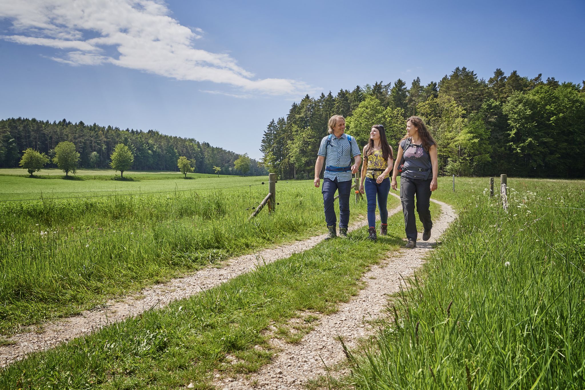
Hops, barley & beer — hiking with VGN leisure tips through Franconia
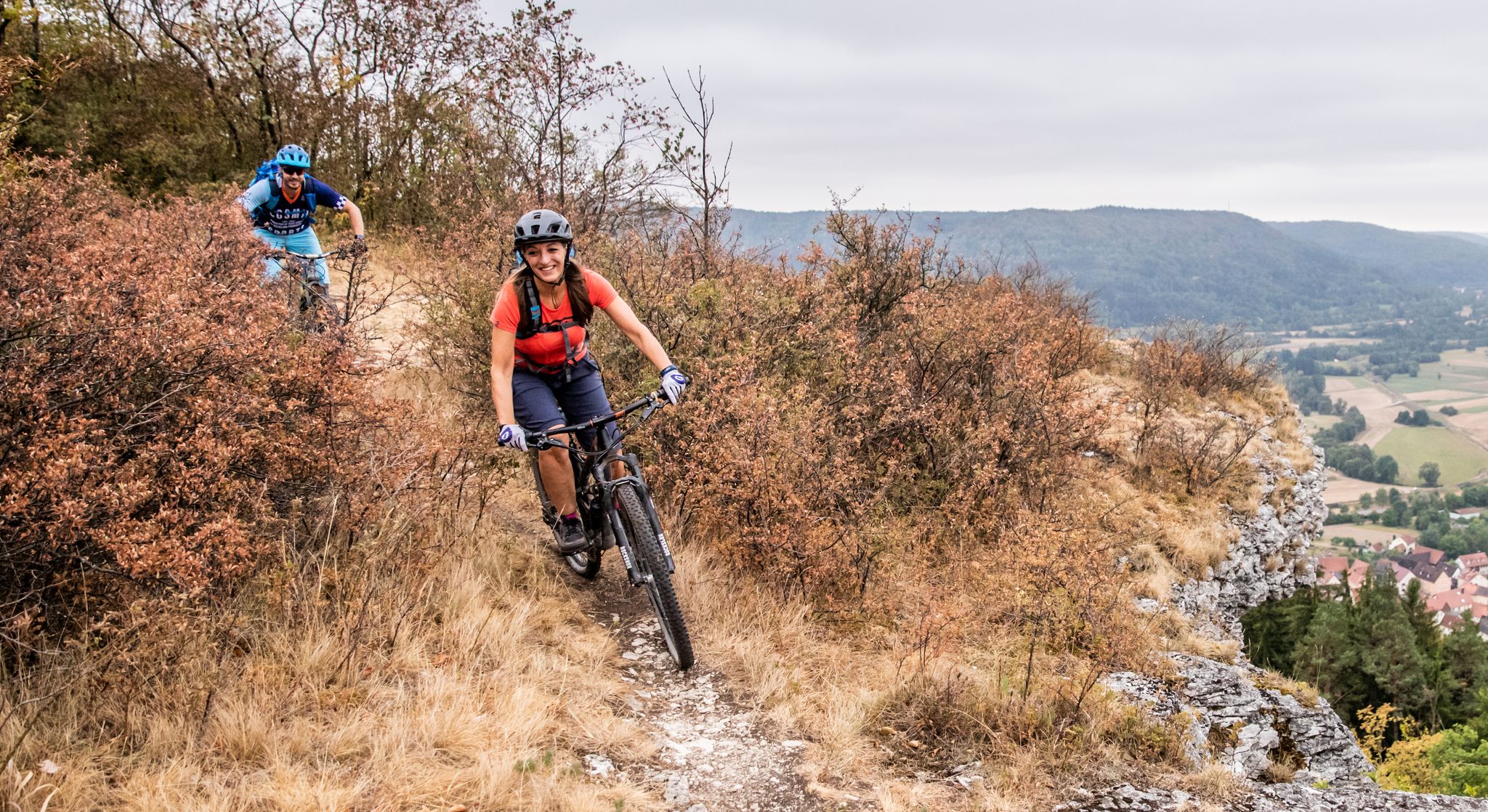
Castles, mountains, beer & trails – bikepacking in Franconian Switzerland
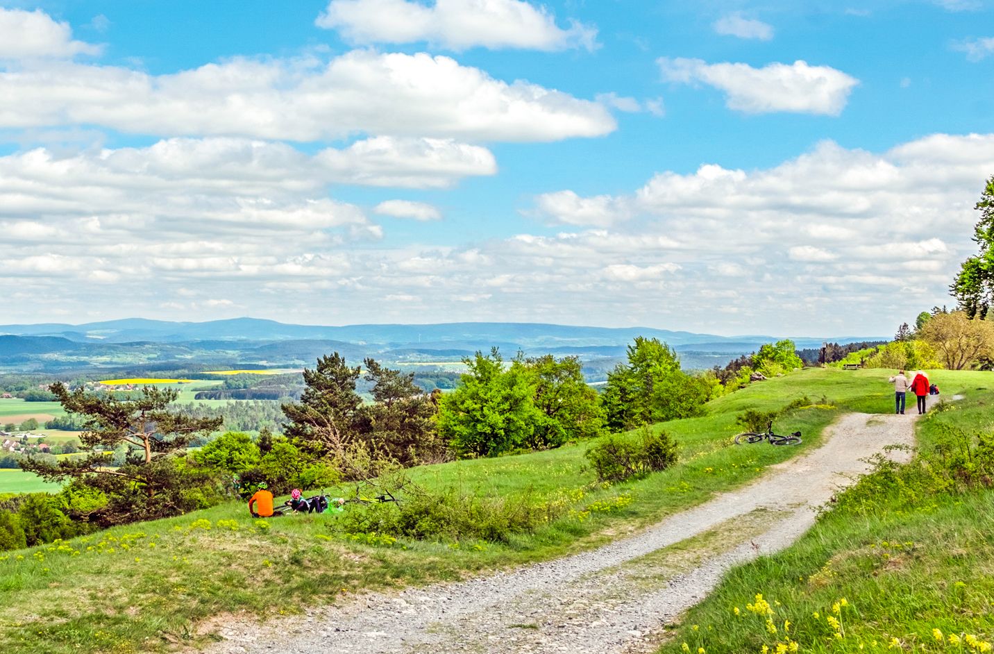
Ponds, woods and hills – the VGN recreational activities
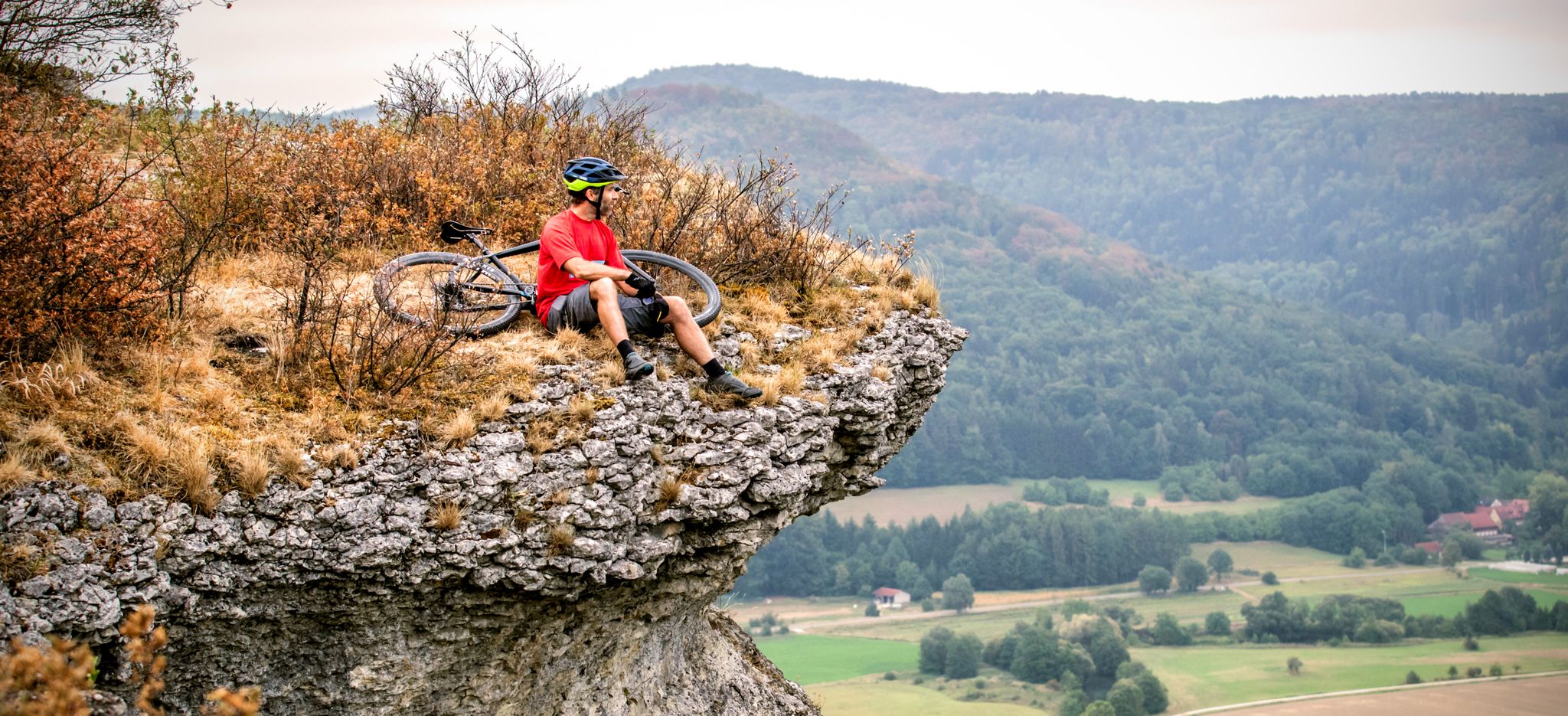
The 10 most beautiful mountain bike Tours in Franconian Switzerland
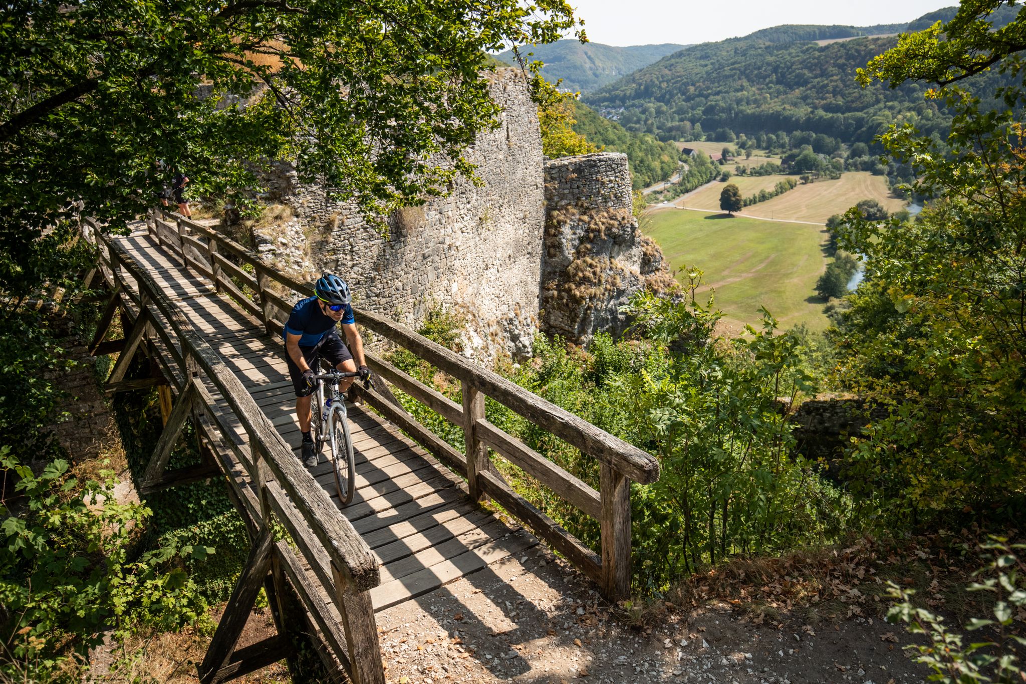
Castles, bikes and beer — a mountain biking paradise in Franconian Switzerland
Hiking around Gräfenberg
Cycling around Gräfenberg
MTB Trails around Gräfenberg
Running Trails around Gräfenberg
Other adventures around Gräfenberg


Tips from the Community

My favorite valley for everything in Franconia
1
0

Street with a great view towards the rooftop town
0
0

A beautiful city gate with a good ice cream parlor nearby.
0
0

Beautiful view of the valley
1
0

Situated high above the valley on a rocky crown, the core probably dates back to the 12th century
1
0

Located next to the cycle path between Neukirchen a.B. and Kleinsendelbach
0
0

Great shop, great oat chocolate bars for the tour!
2
0

A market fortification built from a sandstone ashlar wall, unfortunately also with a lot of traffic. Depending on the time of day, you'll need to be careful. ;-)
0
0
Frequently Asked Questions
How many road cycling routes are available around Gräfenberg?
There are over 350 road cycling routes around Gräfenberg, offering a wide range of options for different skill levels and preferences. This includes 62 easy routes, 219 moderate routes, and 71 difficult routes.
What kind of terrain can I expect when road cycling in Gräfenberg?
Road cycling routes around Gräfenberg traverse a varied landscape characterized by rolling hills, river valleys, and agricultural areas, including vineyards. You'll find a mix of open stretches and sections passing through small villages and near historical sites. Elevation gains vary, offering options from gentle gradients to more challenging climbs.
Are there easy road cycling routes suitable for beginners in Gräfenberg?
Yes, Gräfenberg offers several easy road cycling routes perfect for beginners. An excellent option is the Vineyard Near Steinbach – Holy Sepulchre Chapel loop from Weißenohe, an easy 19.9-mile (32.0 km) trail that passes through vineyards and offers views of historical landmarks.
Where can I find challenging road cycling routes with significant elevation gain near Gräfenberg?
For those seeking a challenge, Gräfenberg has 71 difficult road cycling routes with substantial elevation gain. A notable challenging route is the Gräfenberg Train Station – Road to Möchs loop from Weißenohe, which covers 33 miles (53 km) with over 1,100 meters of ascent.
Are there family-friendly road cycling routes in the Gräfenberg area?
Many of the easy and moderate routes around Gräfenberg are suitable for families, especially those that follow dedicated cycle paths or quieter country roads. These routes often feature gentle gradients and pass through scenic, less trafficked areas, making them enjoyable for all ages.
Can I find circular road cycling routes around Gräfenberg?
Yes, the majority of road cycling routes in Gräfenberg are designed as loops, allowing you to start and finish at the same point. For example, the popular View of Egloffstein Castle – Trubach Valley loop from Egloffstein is a moderate 29.7-mile (47.9 km) circular path.
What scenic viewpoints or landmarks can I see along the road cycling routes in Gräfenberg?
The routes often provide views of historical landmarks like Egloffstein Castle. You can also explore natural attractions such as the Lillach Tufa Terraces or the Kalkach Waterfall (Gräfenberg), which are accessible from various points in the region.
Are there any waterfalls or natural attractions to discover while cycling?
Yes, the Gräfenberg region is home to several beautiful waterfalls and natural monuments. You might encounter the Lillach Tufa Terraces, the Sinter terraces and waterfall on the Wasserwiesenbach, or the Kalkach Waterfall (Gräfenberg), which are popular highlights in the area.
What is the best season for road cycling in Gräfenberg?
The best seasons for road cycling in Gräfenberg are typically spring (April to June) and autumn (September to October). During these months, the weather is generally mild, and the landscapes are particularly scenic, with blooming flowers in spring and vibrant foliage in autumn. Summer can also be pleasant, though it can get warm, especially in July and August.
Are there options for parking near the road cycling routes in Gräfenberg?
Yes, many starting points for road cycling routes in and around Gräfenberg offer convenient parking options. You'll often find public parking lots in the towns and villages where routes begin, such as Weißenohe, Egloffstein, or Weingarts, making it easy to access the trails.
Can I find cafes or places to stop for refreshments along the routes?
Yes, as many routes pass through or near small villages and towns, you'll often find opportunities to stop for refreshments. Look out for local cafes, bakeries, or traditional Bavarian Gasthäuser (inns) where you can refuel and enjoy local specialties.
What do other road cyclists enjoy most about the routes in Gräfenberg?
The road cycling routes in Gräfenberg are highly rated by the komoot community, with an average score of 4.7 stars from over 1,000 reviews. Cyclists frequently praise the varied terrain, the scenic valleys and vineyards, and the well-maintained paths that offer a mix of challenging climbs and enjoyable flat sections.
Most popular routes around Gräfenberg
Most popular attractions around Gräfenberg

Get inspired with the komoot mobile app


Explore more
Browse the best Road cycling routes in other regions.
