The best road cycling routes around Penpont
4.7
(19)
802
riders
75
rides
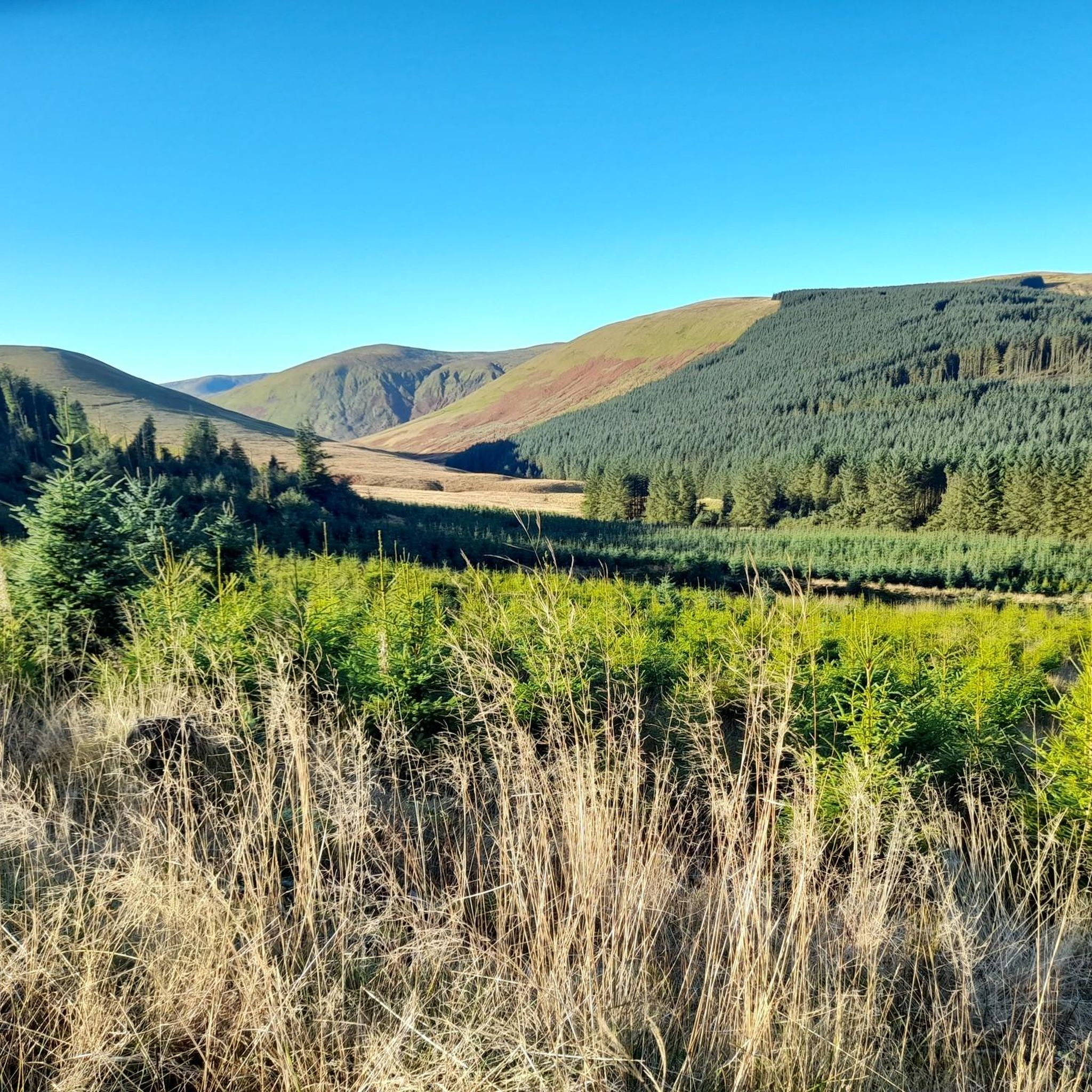
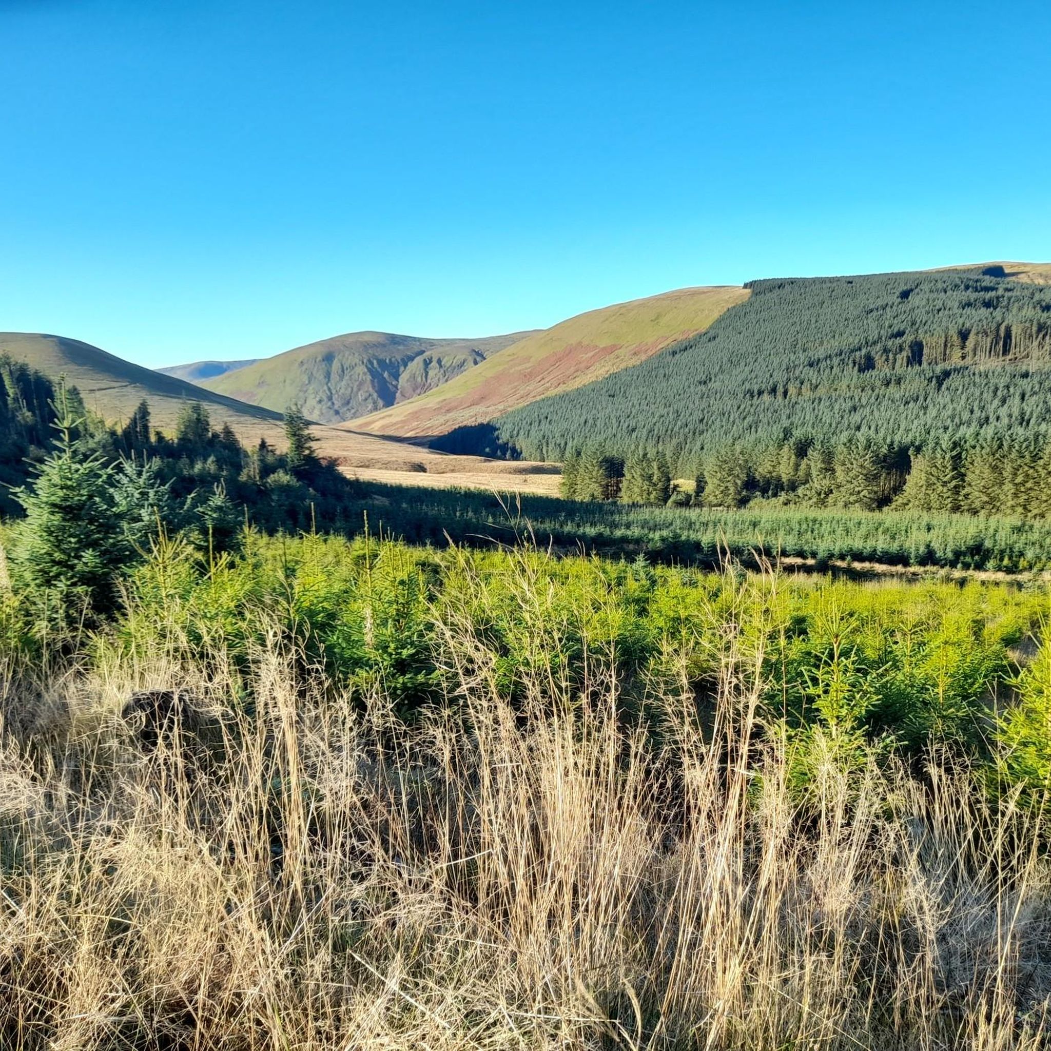
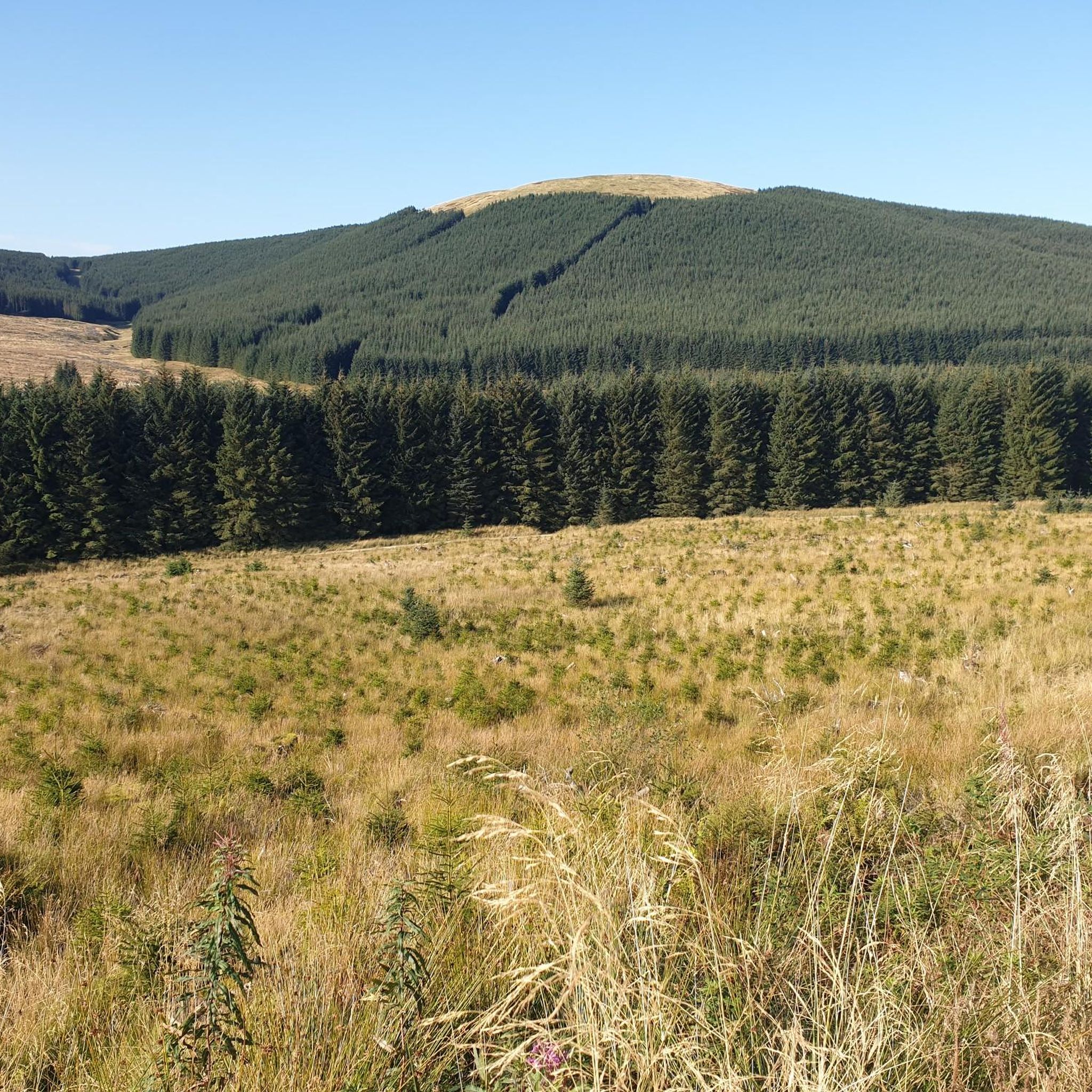
Road cycling routes around Penpont traverse a diverse landscape in Dumfries and Galloway, Scotland. The terrain features varied elevation gains, from gentle ascents to challenging climbs exceeding 3,000 ft (900 m). Well-paved surfaces are common, offering smooth rides through areas characterized by historic estates and natural river valleys. Penpont cycling terrain difficulty ranges from moderate to difficult, catering to various fitness levels.
Best road cycling routes around Penpont
- The most popular road cycling route is Wanlockhead Beam Engine – Thornhill…
Last updated: August 22, 2026
4.3
(3)
77
riders
67.7km
03:01
690m
690m
Moderate road ride. Good fitness required. Mostly well-paved surfaces and easy to ride.
5.0
(3)
35
riders
66.9km
03:07
610m
610m
Moderate road ride. Good fitness required. Some segments of this route may be unpaved and difficult to ride.

Sign up for free
25
riders
56.2km
02:26
370m
370m
Moderate road ride. Good fitness required. Some segments of this route may be unpaved and difficult to ride.
23
riders
38.5km
01:42
340m
340m
Moderate road ride. Good fitness required. Mostly well-paved surfaces and easy to ride.
27
riders
115km
05:24
1,240m
1,240m
Hard road ride. Very good fitness required. Mostly well-paved surfaces and easy to ride.
Get access to more routes and recommendations from other explorers.
Sign up for free
Already have an account?
Our route recommendations are based on thousands of hikes, rides, and runs completed by other people on komoot.
Start today with a free account
Your next adventure awaits.
Login or Signup
Tips from the Community

Great cafe at the Lead Mining Museum.
0
0

Cycle lane closed for maintenance, not sure how long for . July 26
0
0

So this isn't Mennock Pass or Devil's Beef Tub, but it is something of a lesser known gem. Passing through the watershed of the Nith and Annan catchments, it's approximately a 200 metre ascent from Ae to Loch Ettrick. A steady incline, but the real fun is the descent. It's fast but not technical - long sweeping bends and little-to-no traffic.
0
0

The Devorgilla Bridge (also known as Old Bridge) in Dumfries is one of Scotland's oldest surviving bridges. It spans the River Nith and dates back to a wooden bridge endowed around 1260 by Lady Devorgilla of Galloway. The present stone bridge mainly dates from the 15th century and has been rebuilt several times after flood damage. Originally it had nine arches, today six remain. Directly beside the bridge stands the historic Old Bridge House, one of the oldest houses in Dumfries. For hikers and history enthusiasts, the bridge is a landmark of Dumfries and a beautiful viewpoint over the River Nith.
0
0


Very quiet and quite flat route that just rolls and rolls down beside the river. Delightful.
0
0
Frequently Asked Questions
How many road cycling routes are available around Penpont?
There are over 80 road cycling routes around Penpont recorded on komoot, offering a wide variety of options for different skill levels and preferences.
What is the general difficulty level of road cycling routes in Penpont?
The road cycling routes in Penpont cater to various fitness levels. You'll find a good mix, with about 14 easy routes, 50 moderate routes, and 16 difficult routes, ensuring there's something for everyone from beginners to experienced cyclists.
What kind of terrain can I expect on road cycling routes near Penpont?
The terrain around Penpont is diverse, featuring varied elevation gains from gentle ascents to challenging climbs exceeding 3,000 ft (900 m). Surfaces are generally well-paved, offering smooth rides through areas characterized by historic estates, natural river valleys, and scenic passes like Dalveen Pass.
Are there any circular road cycling routes in Penpont?
Yes, many of the road cycling routes around Penpont are circular, allowing you to start and end your ride in the same location. For example, the Wanlockhead Beam Engine – Thornhill Horse Monument loop from Thornhill is a popular circular option.
What notable landmarks or attractions can I see while road cycling around Penpont?
You can encounter several notable landmarks and natural features. Many routes pass by historic sites like Drumlanrig Castle, offering a scenic destination. The area also features the challenging Dalveen Pass, the picturesque River Nith, and the Penpont Estate with its restored gardens and woodlands. Other highlights include the Mennock Pass Climb and the Crichope Linn Gorge and Waterfall.
Are there challenging road cycling routes for experienced cyclists?
Absolutely. For experienced cyclists seeking a challenge, routes like the Drumlanrig Castle – Drumlanrig Castle loop from Drumlanrig Castle offer significant elevation gains of over 1,200 meters and cover distances of more than 115 km, requiring very good fitness.
Are there easier road cycling routes suitable for beginners or families?
Yes, Penpont offers easier road cycling routes suitable for beginners or families. These routes typically have less elevation gain and shorter distances, providing a more relaxed experience. While specific family-friendly routes are not highlighted, the 14 easy routes available provide a good starting point.
What do other road cyclists enjoy the most about road cycling in Penpont?
The road cycling experience in Penpont is highly rated by the komoot community, with an average score of 4.7 stars from over 15 reviews. Cyclists often praise the diverse terrain, the well-paved surfaces, and the scenic beauty that combines historic landmarks with natural river valleys and challenging passes.
Where can I find parking for road cycling routes in Penpont?
While specific parking locations are not detailed, Penpont village and nearby towns like Thornhill and Keir Mill, which serve as starting points for many routes, typically offer public parking options suitable for cyclists. It's advisable to check local signage upon arrival.
Are there any cafes or pubs along the road cycling routes in Penpont?
Yes, the region around Penpont and its surrounding villages offer opportunities for refreshment. Routes often pass through or near villages where you can find cafes and pubs. For instance, the Dalswinton Barony Church – Ae Bike Shop & Café loop from Keir Mill mentions a bike shop and café, indicating cyclist-friendly stops are available.
How long do road cycling routes around Penpont typically take?
The duration of road cycling routes around Penpont varies significantly based on distance and elevation. Shorter, moderate routes like the Auldgirth Bridge – Dalswinton Barony Church loop from Keir Mill can take around 2 hours 30 minutes, while longer, more difficult routes can extend to over 5 hours.
What is the best time of year to go road cycling in Penpont?
The best time to go road cycling in Penpont is generally during the spring, summer, and early autumn months (April to October) when the weather is milder and daylight hours are longer. This period offers the most pleasant conditions for enjoying the scenic routes and diverse terrain.
Most popular attractions around Penpont

Get inspired with the komoot mobile app


Explore more
Browse the best Road cycling routes in other regions.
