The best running trails around Carsphairn
2.8
(3)
149
runners
13
runs
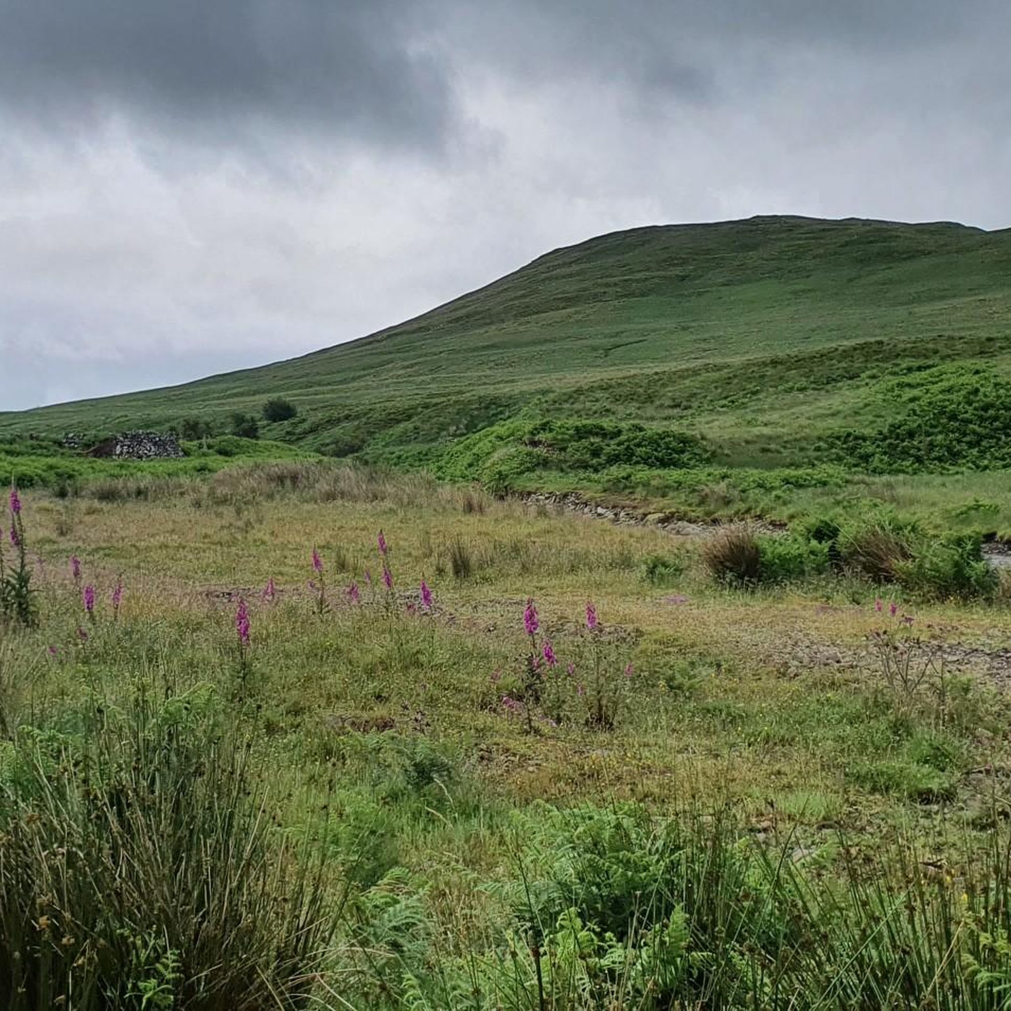
Jogging around Carsphairn offers an opportunity to explore the diverse landscapes of Dumfries and Galloway, Scotland. The region is characterized by rolling hills, expansive forests, and serene lochs, providing varied terrain for runners. Jogging routes in Carsphairn often feature a mix of elevations, from gentle paths alongside the Water of Deugh to more challenging climbs within the Galloway Hills. This area provides a tranquil environment for outdoor activities, with a rich tapestry of natural features.
Best jogging routes around Carsphairn
…Last updated: June 28, 2026
4.0
(1)
2
runners
9.48km
01:04
100m
100m
Moderate run. Good fitness required. Mostly paved surfaces. Suitable for all skill levels.
58
runners
10.4km
01:13
160m
160m
Moderate run. Good fitness required. Mostly paved surfaces. Suitable for all skill levels.

Sign up for free
11
runners
15.3km
02:23
810m
810m
Hard run. Very good fitness required. Mostly paved surfaces. Suitable for all skill levels.
8
runners
Hard run. Very good fitness required. Mostly paved surfaces. Suitable for all skill levels.
7
runners
10.8km
01:16
80m
90m
Moderate run. Good fitness required. Mostly paved surfaces. Suitable for all skill levels.
Get access to more routes and recommendations from other explorers.
Sign up for free
Already have an account?
Our route recommendations are based on thousands of hikes, rides, and runs completed by other people on komoot.
Start today with a free account
Your next adventure awaits.
Login or Signup
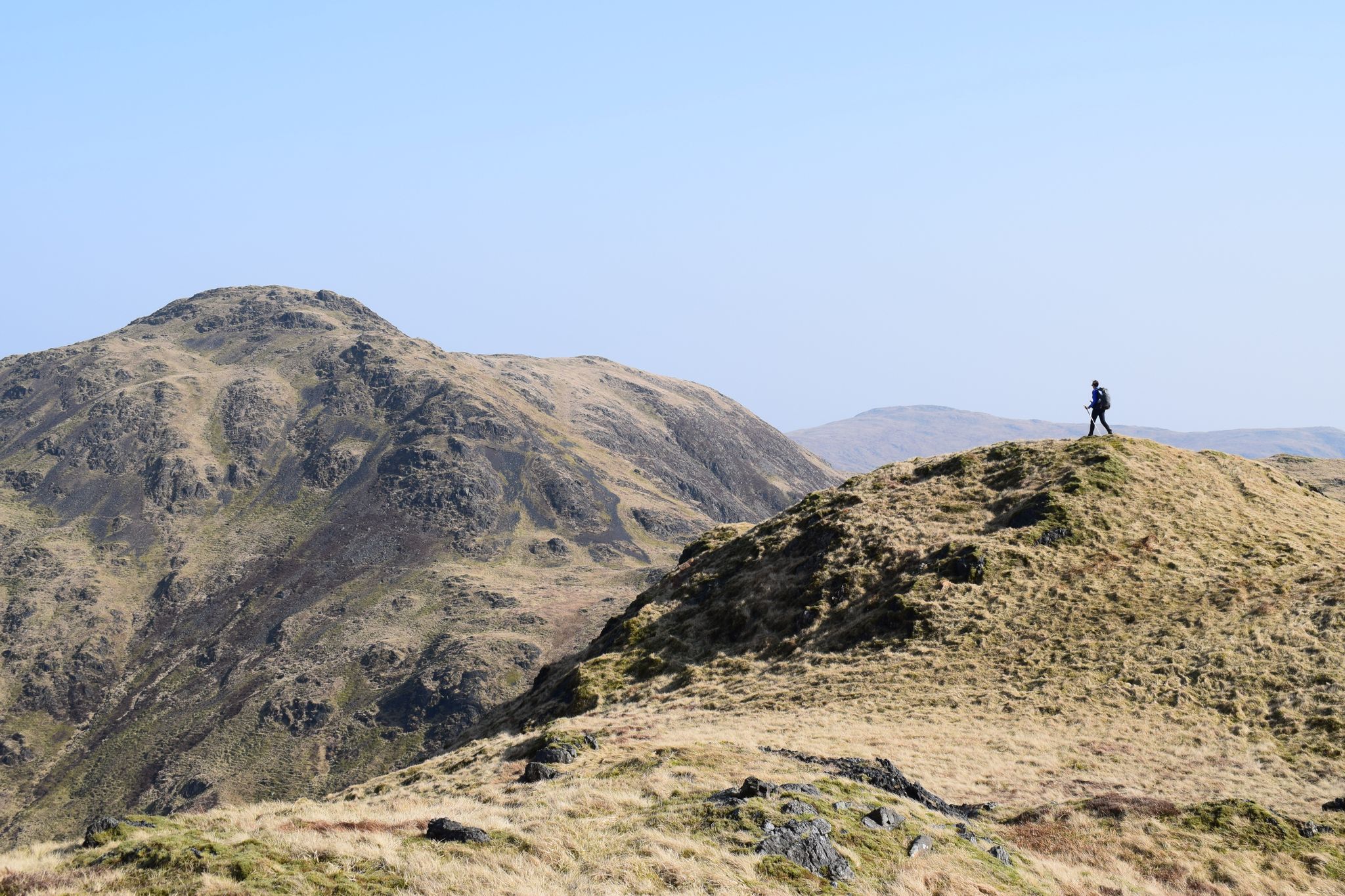
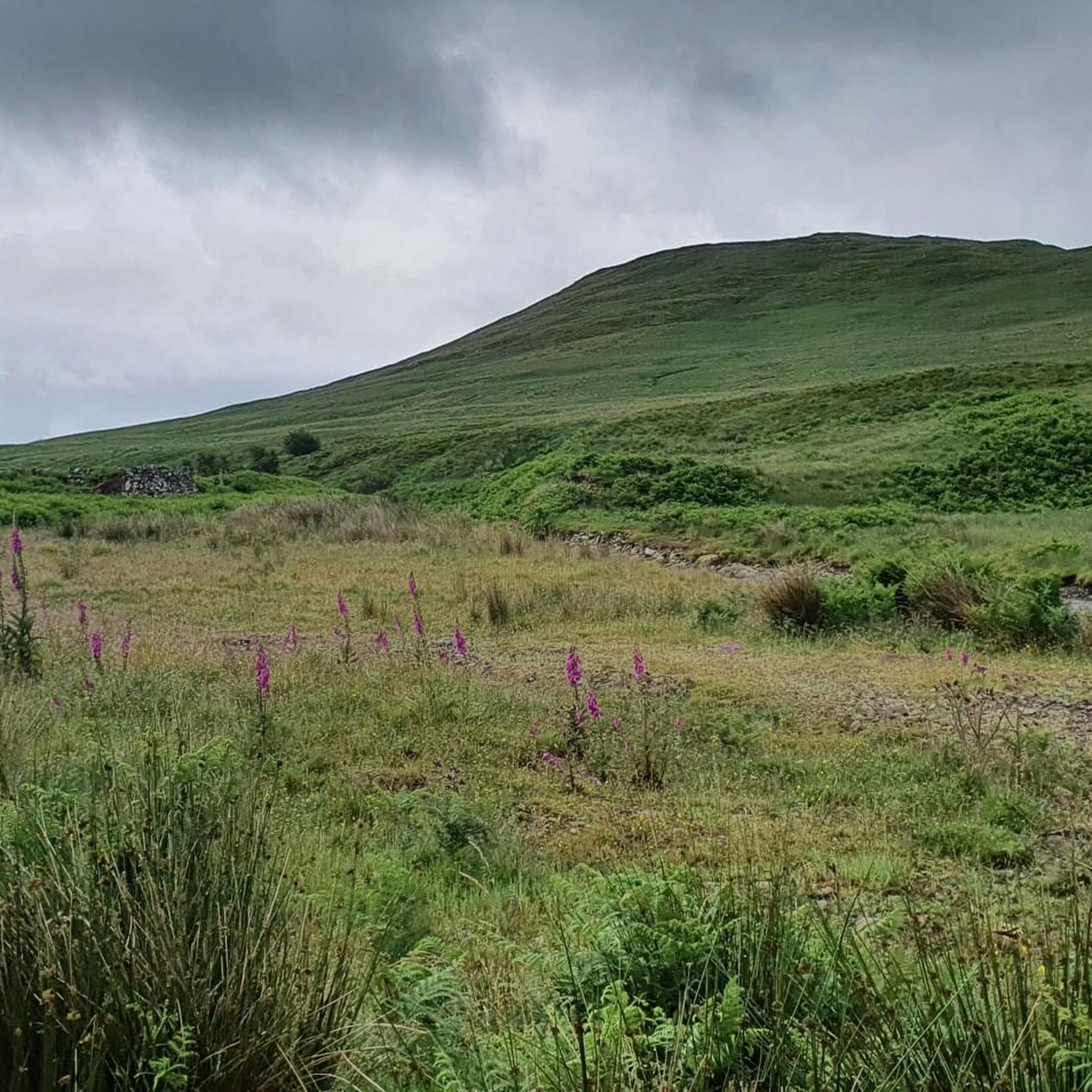
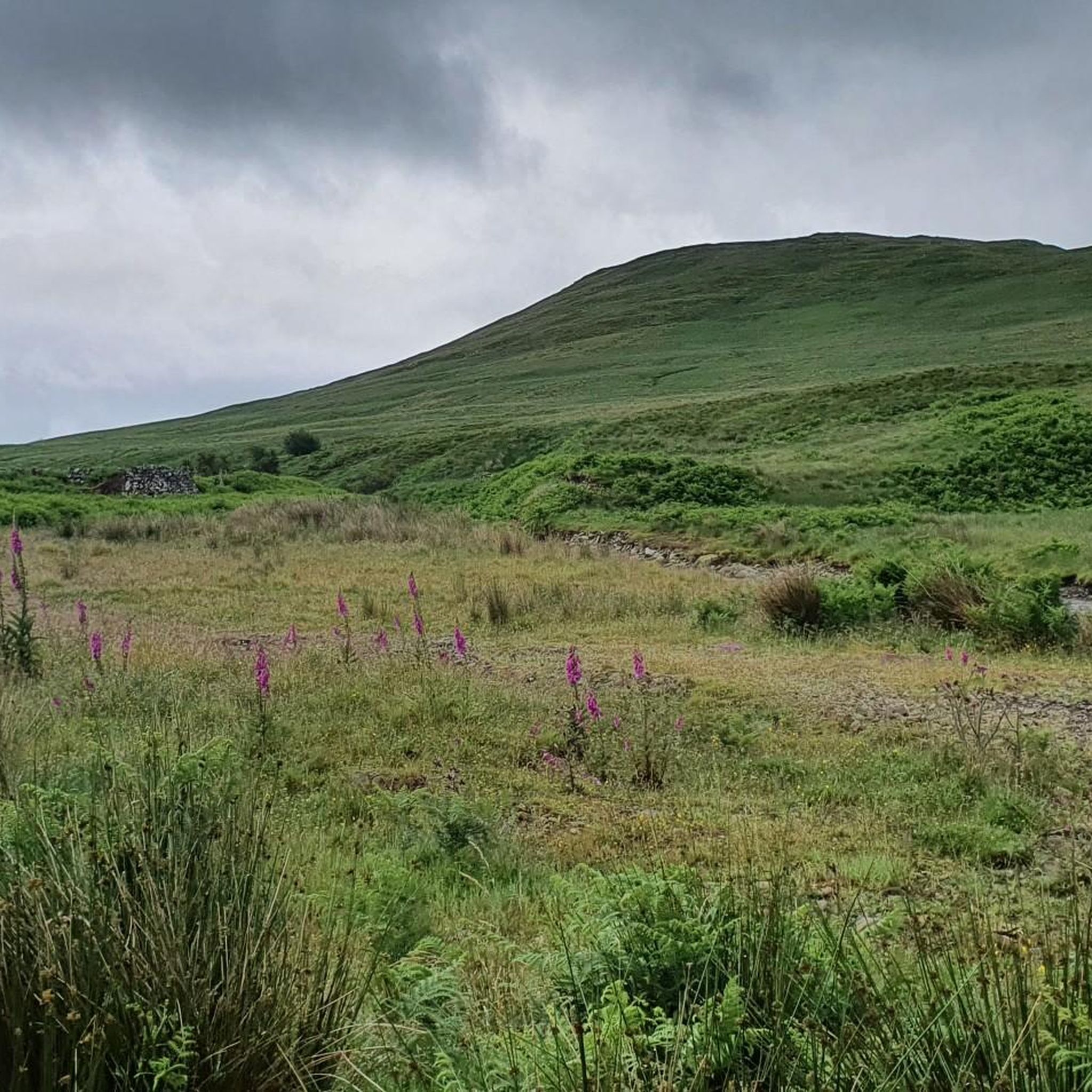
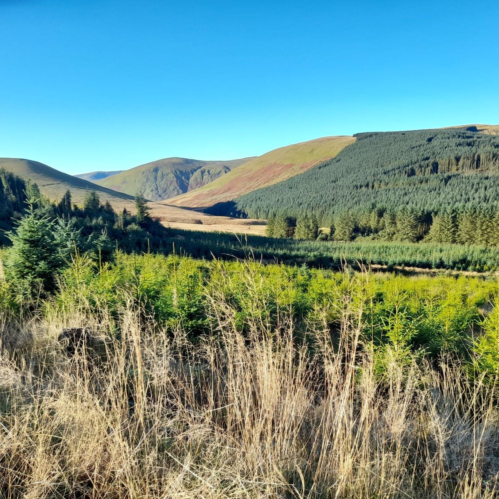
Other adventures around Carsphairn

Tips from the Community

Very shallow if it’s been dry, not worth visiting for swimming but good view of the loch.
0
0

Bogton Loch is a small, tranquil lake. It is nestled in a gentle landscape of meadows and hills and provides habitat for numerous birds and amphibians. The loch is a popular place for nature watching, walks and quiet recreation away from tourist centers.
0
0
The landscape is stunningly beautiful, but the paths are not as easy to walk as advertised. The barely discernible path up leads almost entirely through muddy, boggy terrain. We often sank ankle-deep, at times knee-deep. From Loch Enech onwards, there is no discernible path; the ground is drier, but eroded and full of holes. The way down is the official route, and considerably better. They've tried to make everything more walkable with fleece and gravel, but the water has already washed away much of it. Unfortunately, it's hard to enjoy the scenery while walking, as you're so busy trying not to slip and sink with every step. In the end, we were glad to be back down with our bones intact. The path can only be recommended with reservations.
0
0

Wide grassy ridge between Benyellary and Merrick summits. Very windy when I was on it, with beautiful views down to valley/glen
0
0
The bench is no longer there. There was a swallows nest in the room to left of door so try not to disturb it. Beautiful views from it and neighbouring burn
0
0

when the water level is fine it's lovely place for a dip and cooling off, sadly it is too smal for a swim. lower down the path there may be a better spot but I like slightly hidden spots so not everyone had to see me
0
0


2024 update: There's no windows or doors, but there's a roof that looks pretty solid. Use at your own risk, of course 🙏
0
0
Frequently Asked Questions
How many running routes are available around Carsphairn?
There are over 15 dedicated running routes around Carsphairn listed on komoot, offering a variety of experiences for different fitness levels.
What is the general difficulty level of running trails in Carsphairn?
The running trails in Carsphairn range from moderate to difficult. You'll find 7 moderate routes and 9 difficult routes, often involving significant elevation changes as you explore the Galloway Hills.
What kind of terrain can I expect on jogging routes in Carsphairn?
Jogging routes in Carsphairn feature a diverse landscape of rolling hills, expansive forests, and serene lochs. You can expect a mix of elevations, from gentler paths alongside the Water of Deugh to more challenging climbs within the Galloway Hills, offering a rich tapestry of natural features.
Are there any circular running routes in Carsphairn?
Yes, many of the running routes in Carsphairn are circular, allowing you to start and finish at the same point. For example, the Bogton Loch loop from Dalmellington and The Bagas Bistro – Doon Bridge loop from Dalmellington are popular circular options.
What natural landmarks or scenic viewpoints can I discover along the running trails?
Carsphairn's running routes offer access to stunning natural landmarks and viewpoints. You can find trails leading to The Merrick Summit or Cairnsmore of Carsphairn Summit for panoramic views. Many routes also pass by picturesque lochs like Loch Trool and Loch Dee, offering serene waterside scenery.
Are there any family-friendly running options in Carsphairn?
While many routes involve significant elevation, some areas like the Carsphairn Community Woodland offer circular paths that are being upgraded, providing more accessible and potentially family-friendly options for shorter jogs. Kendoon Loch also has a circular path suitable for less strenuous runs.
What do other runners enjoy most about jogging in Carsphairn?
The komoot community highly values the tranquil environment and diverse natural beauty of Carsphairn. Runners often praise the dramatic hills, serene lochs, and expansive forests that define the region, providing an invigorating outdoor experience away from crowds.
Can I bring my dog on the running trails in Carsphairn?
Carsphairn is generally dog-friendly, with many trails suitable for running with your canine companion. However, always ensure your dog is under control, especially in areas with livestock or wildlife, and follow the Scottish Outdoor Access Code. Some routes may pass through sensitive natural areas, so check local signage.
When is the best time of year to go running in Carsphairn?
The best time for running in Carsphairn is typically during spring, summer, and early autumn when the weather is milder and daylight hours are longer. The region's natural beauty, including its forests and lochs, is particularly vibrant during these seasons. Be prepared for changeable Scottish weather at any time of year.
Are there any running routes that offer a significant challenge?
Absolutely. For a significant challenge, consider routes like the Merrick – Benyellary loop from Buchan Burn, which covers 8.4 miles (13.5 km) with over 850 meters of elevation gain, or the Corserine – Meikle Millyea loop from Burnhead Burn, a 16.8 km route with similar elevation, both offering demanding climbs in the Galloway Hills.
Where can I find parking for the running trails in Carsphairn?
Parking availability varies by trailhead. Many popular starting points for trails within Galloway Forest Park or near specific lochs will have designated parking areas. It's advisable to check the specific route details on komoot for information on parking at the start of your chosen run.
Are there any long-distance running opportunities near Carsphairn?
Yes, Carsphairn borders the Galloway Forest Park and is near the Southern Upland Way, a 212-mile coast-to-coast walk. While not exclusively running trails, sections of these long-distance routes can be incorporated into longer runs, offering extensive and scenic options for endurance runners.
Most popular attractions around Carsphairn

Get inspired with the komoot mobile app


Explore more
Browse the best Running Trails & Routes in other regions.
