The best walks and hikes around Tongland And Ringford
4.4
(220)
1,353
hikers
76
hikes
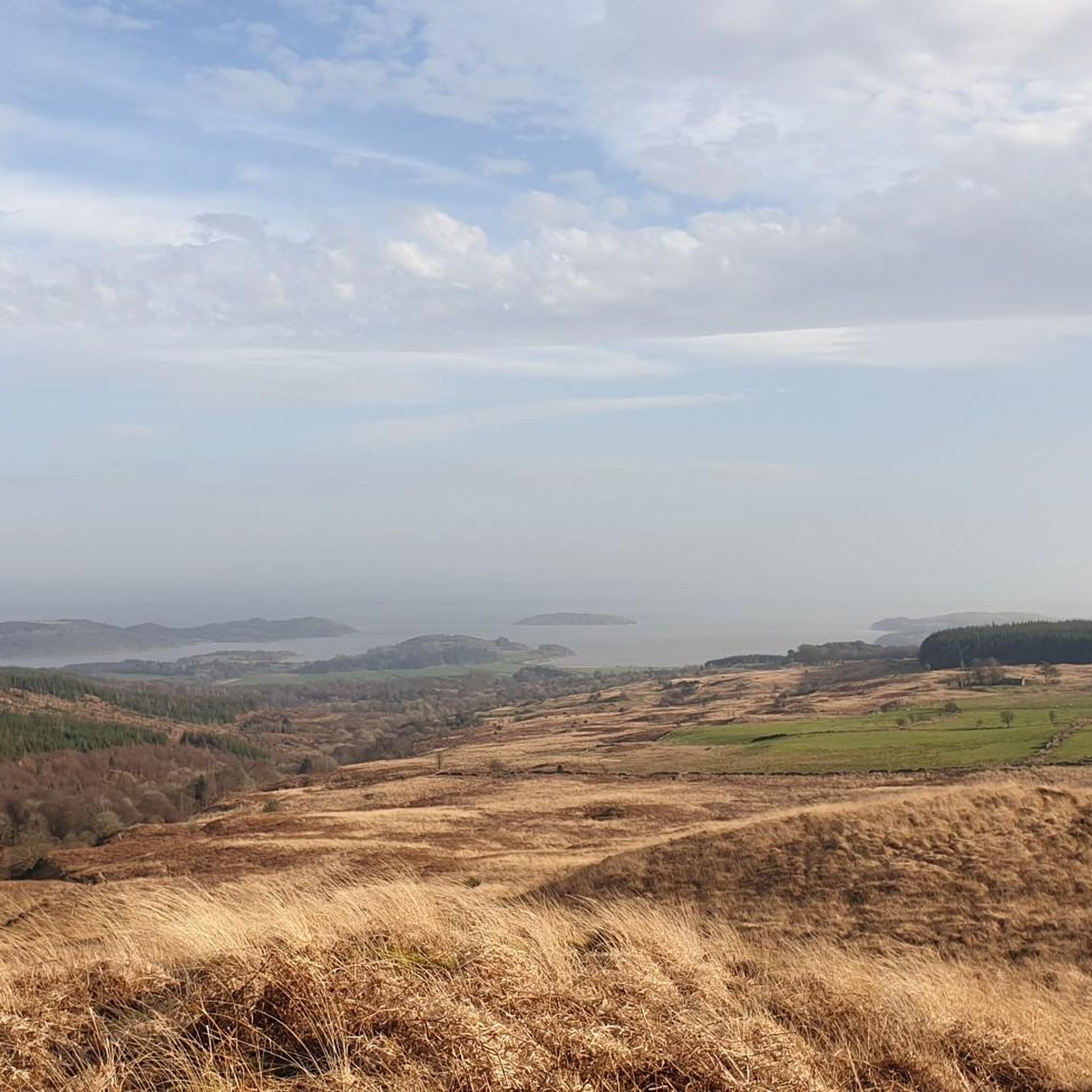
Hikes around Tongland and Ringford explore a landscape of rolling hills, serene lochs, and expansive forests. The area is situated within Dumfries and Galloway, offering routes that pass through woodlands and provide views from low summits like Barstobrick Hill. Many trails follow waterside paths along the River Dee or around local lochs, providing a mix of gentle and more varied terrain for all fitness levels.
Best hiking trails around Tongland and Ringford
- The most popular hiking route is Neilson's Monument – Barstobrick Hill and Tower loop from Ringford, a 3.5 mile (5.6 km) trail that takes around 1 hour 35 minutes to complete. This route features a gradual ascent to the monument and offers views across the surrounding countryside.
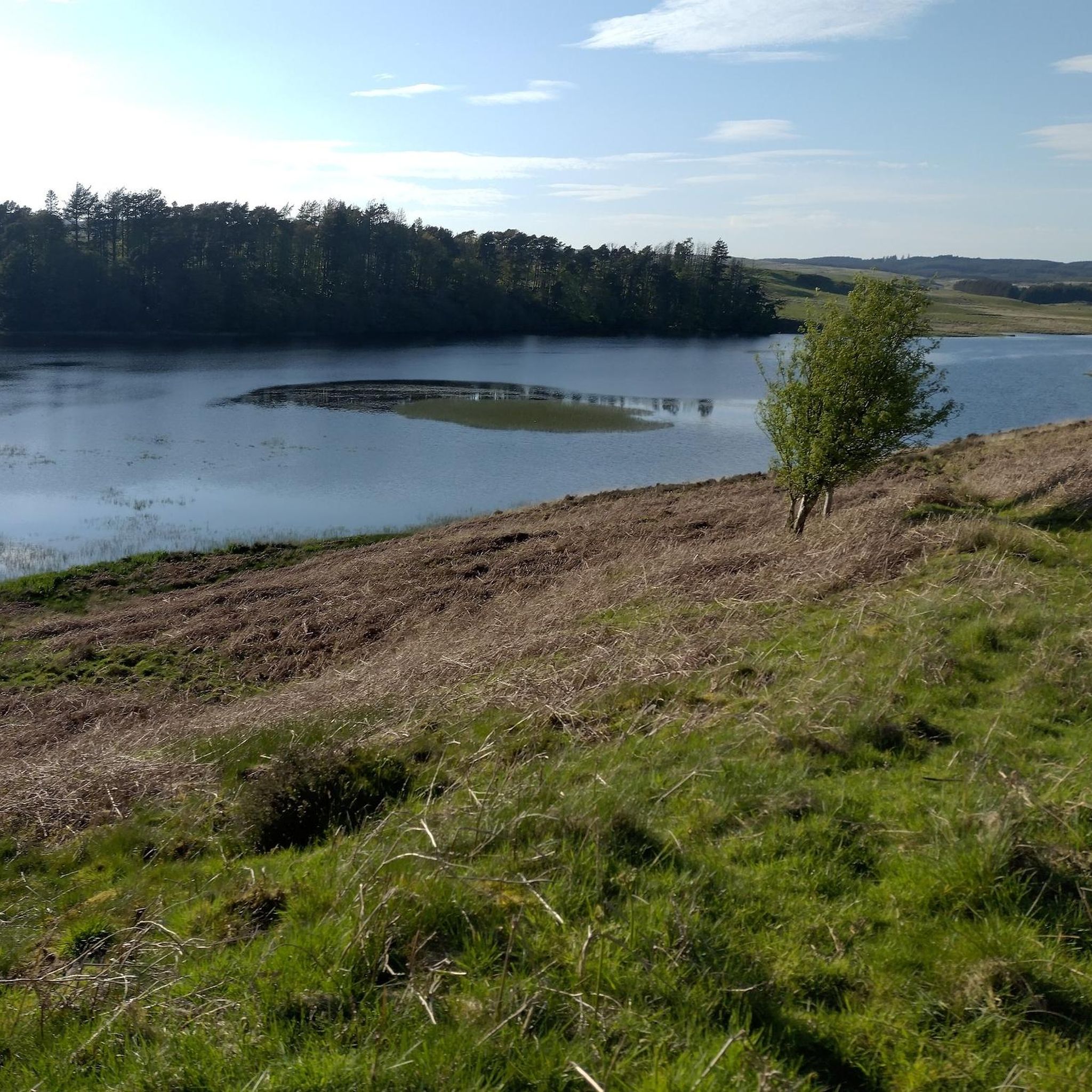
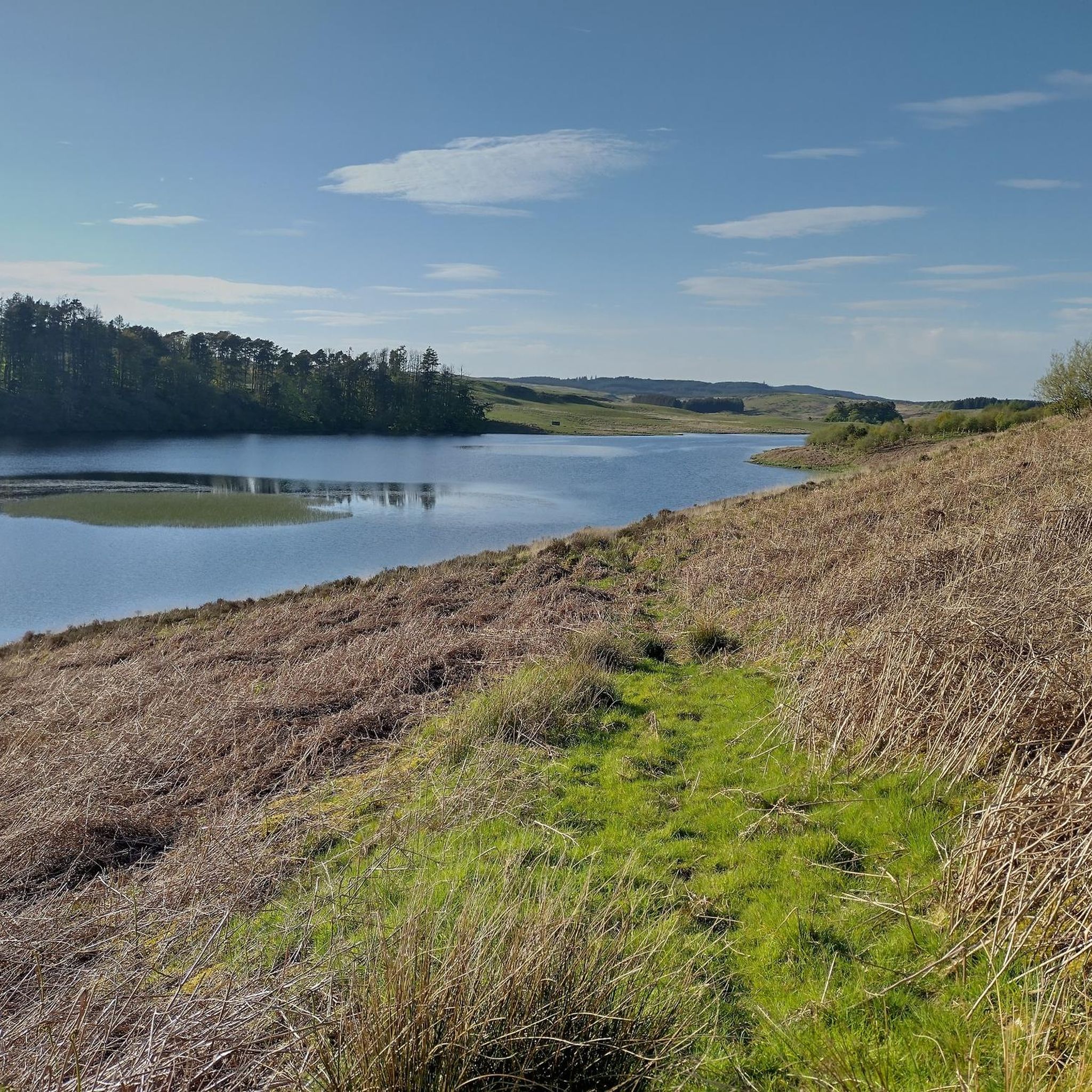
- Another top favourite among local hiking enthusiasts is Carlingwark Loch – Ducking Island loop from Rhonehouse, a moderate 6.8 mile (10.9 km) path. The trail encircles the loch, providing a generally flat walk with opportunities for birdwatching.
- Local hiking enthusiasts also love the Neilson's Monument from Barstobrick Visitor's Centre, a 2.8 mile (4.4 km) trail leading through woodland, often completed in about 1 hour 15 minutes.
- Hiking around Tongland And Ringford is defined by woodland paths, lochside trails, and ascents to local viewpoints. The network of routes provides options for both easy, family-friendly hikes and more moderate walks.
- The routes in Tongland And Ringford are highly rated by the komoot community with an average score of 4.4 stars from more than 160 reviews. More than 1,100 hikers have used komoot to explore Tongland And Ringford's varied terrain.
Last updated: August 31, 2026
5.0
(1)
4
hikers
4.43km
01:17
120m
120m
Embark on the Hot Blast Trail for an easy hiking experience through a peaceful and calm environment. This route offers beautiful scenery and natural beauty, with views opening up as you progress. You will cover 2.8 miles (4.4 km) and gain 390 feet (119 metres) in elevation, which typically takes around 1 hour and 17 minutes to complete. Keep an eye out for Neilson's Monument along the way, a significant historical site that adds to the scenic charm of the route. The impressive Barstobrick Hill and Tower also contribute to the picturesque landscape you will encounter.
Planning your visit to the Hot Blast Trail is straightforward, as the route is generally accessible. You can usually find parking conveniently located near the starting point, making it easy to begin your hike. There are no specific warnings regarding snow conditions or road closures to consider for this trail. You also won't need any special permits to enjoy this easy outing. This makes it a great option for a spontaneous trip or a relaxed afternoon adventure.
The Hot Blast Trail serves as a gentle introduction to hiking in the Tongland And Ringford area, perfect for those seeking a relaxed outdoor experience. Its historical landmarks, like Neilson's Monument, provide points of interest beyond just the natural scenery. The presence of Barstobrick Hill and Tower further enhances the visual appeal of the surroundings, offering a blend of natural beauty and local heritage. It's a great way to explore the region without committing to a strenuous journey.
4.5
(4)
19
hikers
5.63km
01:37
140m
140m
Easy hike. Great for any fitness level. Easily-accessible paths. Suitable for all skill levels.

Sign up for free
4.0
(2)
9
hikers
9.70km
02:33
80m
80m
Moderate hike. Good fitness required. Easily-accessible paths. Suitable for all skill levels.
5
hikers
4.35km
01:15
110m
110m
Easy hike. Great for any fitness level. Easily-accessible paths. Suitable for all skill levels.
5.0
(1)
7
hikers
8.22km
02:16
130m
130m
Moderate hike. Good fitness required. Easily-accessible paths. Suitable for all skill levels.
Get access to more routes and recommendations from other explorers.
Sign up for free
Already have an account?
Our route recommendations are based on thousands of hikes, rides, and runs completed by other people on komoot.
Start today with a free account
Your next adventure awaits.
Login or Signup
Tips from the Community

The nearby campsite (https://silvercraigscaravanpark.co.uk/) is an excellent place for cyclists, reasonably priced and quiet
0
0

The Kirkcudbright War Memorial is a bronze statue commemorating the town's soldiers who died in the First and Second World Wars. Located on Castle Street in front of the 16th-century MacLellan's Castle, it was designed by Scottish sculptor George Henry Paulin and unveiled in 1921.
0
0
kirkcudbright Harbour is the busiest commercial fishing port in Dumfries and Galloway, located on the River Dee and adjacent to a 50-berth marina for leisure boats.
0
0
The wicker horse is an 18-foot-tall willow sculpture and a mascot for the town of Kirkcudbright. This version was crafted by Leat in 2023 after a previous structure had the old wicker burnt off, but the metal frame was reused for the new model.
0
0
This building served as the town's administrative hub, courthouse, and jail from the 17th century until the 19th century.
0
0


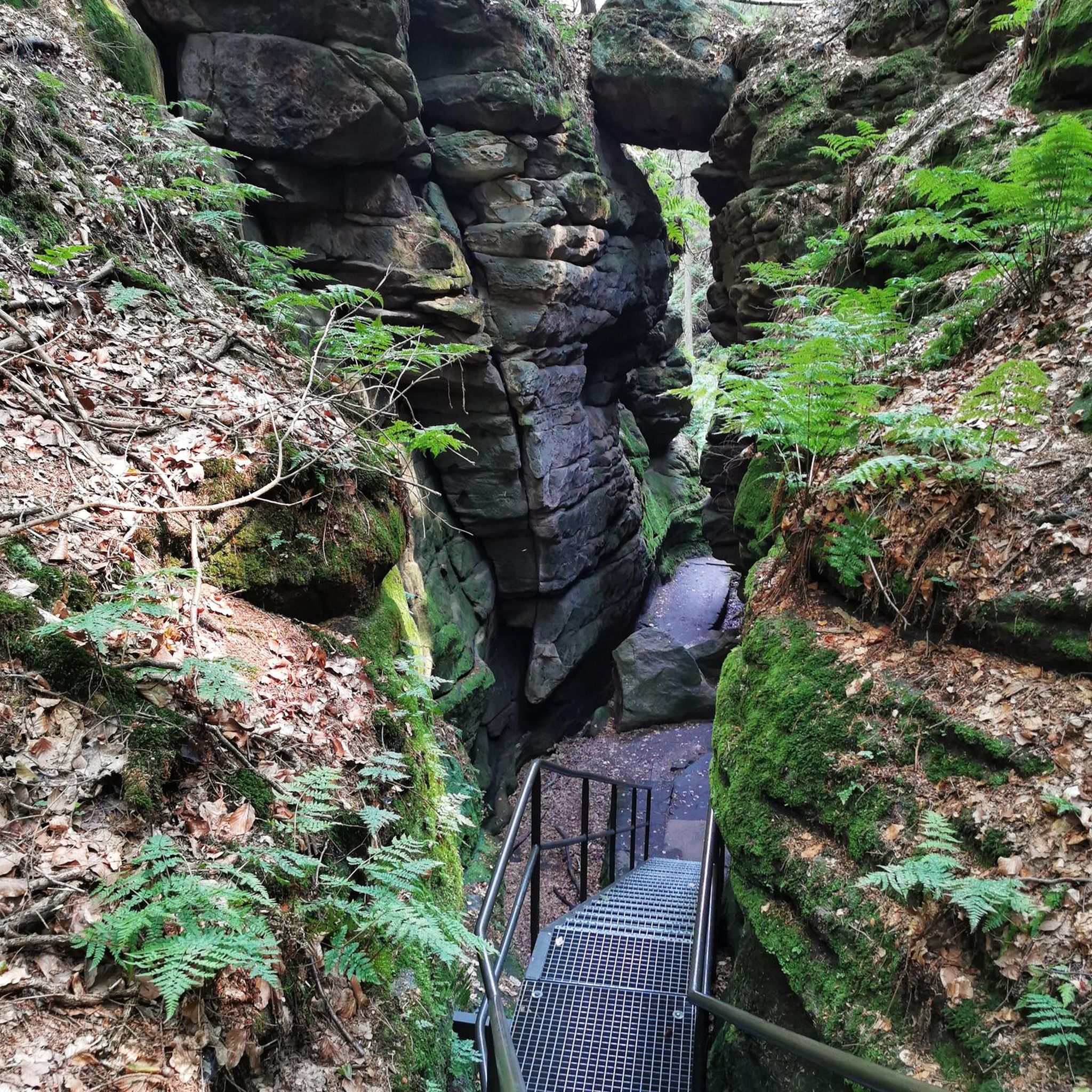
A very nice place to cool your feet in the babbling stream on a summer day
0
0

Kirkcudbright (pronounced ‘Kir-coo-brie’.) is a harbour town popular with artists. Set on the River Dee, it's an attractive place with colourful buildings, independent shops and castle ruins.
0
0
Frequently Asked Questions
Are there many hiking trails to choose from around Tongland and Ringford?
Yes, there are over 75 hiking routes in the area. These range from easy, family-friendly walks to more challenging hill climbs, offering plenty of options for all fitness levels.
What do other hikers think of the trails in this region?
The trails around Tongland and Ringford are well-regarded by the komoot community, with over 1,100 hikers exploring the area. Reviewers often praise the mix of quiet woodland paths, scenic lochside trails, and rewarding views from local summits.
Are there any good dog-friendly walks?
Many trails in the area are suitable for walking with dogs. The nearby Galloway Forest Park is a popular choice, offering extensive paths where dogs can often be off-leash. As always, please be mindful of livestock in fields and follow local signage.
Can I find any easy, circular walks near Ringford?
Yes, the region has many easy circular routes. A great example is the Small Bridge Over the Stream loop from Laurieston Hall. It's a very short and gentle walk, perfect for a quick stroll in nature.
What are some good options for family-friendly hikes?
The area around Barstobrick is great for families. It features a Faerie Trail which is designed to be engaging for children. The trails here are generally well-maintained and not too strenuous, making for a pleasant family outing.
Where can I find a more challenging hike?
For a more strenuous walk, consider the ascent of Screel Hill. This rocky outcrop stands at 344 meters and involves a steep climb through forest and moorland, but rewards you with spectacular panoramic views over the Solway Firth.
Are there any walks with historical interest?
Yes, many trails feature local history. The hike to Neilson's Monument is a popular choice, leading to a historic tower built to commemorate a local man. Another point of interest is Bruce's Stone at Loch Trool, a monument set in a beautiful location with its own significant history.
Can I get to the trailheads using public transport?
Public transport options are limited in this rural area. Most trailheads, especially those within Galloway Forest Park or for hill walks like Screel, are best accessed by car. It's recommended to check local bus schedules in advance if you plan to rely on them.
Is there parking available for the main walking routes?
Yes, parking is available at the start of many popular routes. For example, there are visitor centres with car parks at Barstobrick and within Galloway Forest Park (like Glentrool and Kirroughtree). For the Screel Hill walk, there is a dedicated car park at the base of the hill.
Are there any walks with good views of the water?
Absolutely. For a lovely waterside walk, the Carlingwark Loch – Ducking Island loop from Rhonehouse offers a flat path around the loch, which is also a great spot for birdwatching. For river views, you can explore paths along the Black Water of Dee, accessible via the Raiders' Road Forest Drive.
What are some popular places for hiking in the Tongland and Ringford area?
Hikers in the region enjoy a variety of key locations:
- Galloway Forest Park: A vast and highly-regarded park with hundreds of miles of trails, from gentle lochside paths to strenuous hill routes.
- Screel Hill: A popular local peak offering a rewarding climb and fantastic views. You can find a route map and information on the council website: Screel Hill Walk.
- Dalbeattie Forest Town Wood: A favourite for its beautiful walks, stunning scenery, and well-maintained paths.
- Bruce’s Stone: A historical landmark that serves as the starting point for scenic hikes with beautiful views of Loch Trool.
Are there any walks that are good for seeing wildlife?
Galloway Forest Park is an excellent destination for wildlife spotting. The park's diverse landscape of forests, lochs, and mountains is home to red deer, wild goats, and red squirrels. Carlingwark Loch is a designated Site of Special Scientific Interest and is particularly good for birdwatching, with species like mute swans and great crested grebes often seen.
Most popular attractions around Tongland And Ringford

Get inspired with the komoot mobile app


Explore more
Browse the best Hikes in other regions.
