The best walks and hikes around Gilmerton/Inch
4.6
(2775)
35,285
hikers
28
hikes
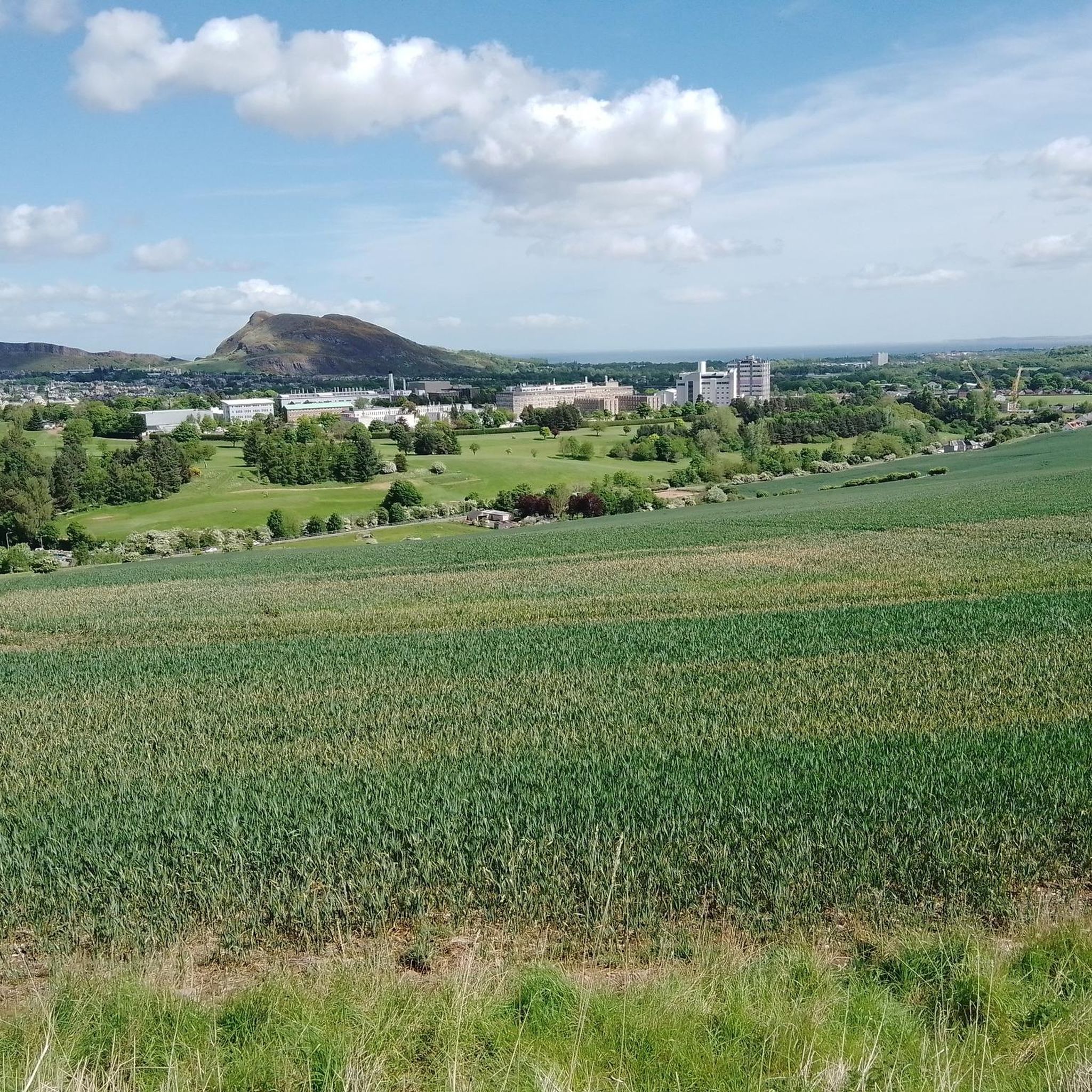
Hiking around Gilmerton/Inch offers diverse landscapes, from ancient volcanic formations to rolling hills and accessible woodlands. The area features prominent natural landmarks such as Arthur's Seat and the Pentland Hills, providing varied terrain for hikers. Trails range from gentle paths through nature reserves and woodlands to more challenging ascents on hills like Blackford Hill. The region's geology includes historical limestone quarries, contributing to its unique topography.
Best hiking trails around Gilmerton/Inch
- The most popular hiking route is Victoria Street – Scott Monument loop from Historic Environment Scotland, a 11.7 miles (18.8 km) trail that takes 5 hours 3 minutes to complete. This difficult route offers extensive urban and natural exploration, connecting city landmarks with scenic paths.
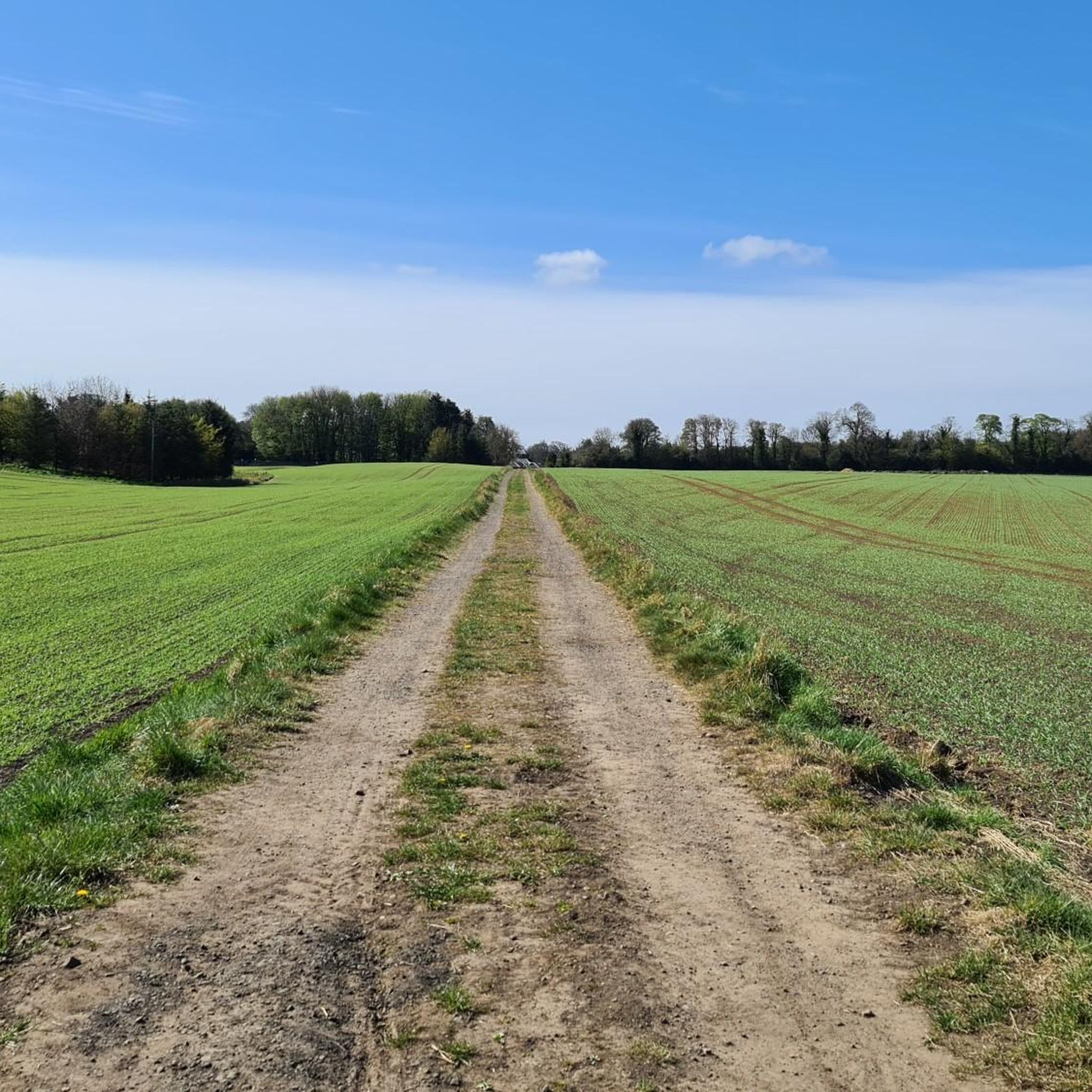
- Another top favourite among local hikers is Gravel Path Through Fields – Mortonhall Woodland Trail loop from Burdiehouse, an easy 3.6 miles (5.8 km) path. This path traverses open fields and woodland, providing a gentle walking experience.
- Local hikers also love the Seven Acre Park – Stables Bar Courtyard loop from Burdiehouse, a 2.8 miles (4.5 km) trail leading through green spaces and local parkland, often completed in about 1 hour 11 minutes.
- Hiking around Gilmerton/Inch is defined by ancient volcanic hills, extensive woodlands, and accessible nature reserves. The network offers options for different ability levels, from easy strolls to more challenging ascents.
- The routes in Gilmerton/Inch are highly rated by the komoot community with an average score of 4.6 stars from over 650 reviews. More than 7000 hikers have used komoot to explore Gilmerton/Inch's varied terrain.
Last updated: June 22, 2026
36
hikers
19.0km
05:07
240m
240m
Hard hike. Very good fitness required. Easily-accessible paths. Suitable for all skill levels.
5.0
(2)
12
hikers
Easy hike. Great for any fitness level. Easily-accessible paths. Suitable for all skill levels.

Sign up for free
4.9
(79)
14
hikers
4.53km
01:11
30m
30m
Easy hike. Great for any fitness level. Easily-accessible paths. Suitable for all skill levels.
5.0
(2)
11
hikers
Easy hike. Great for any fitness level. Easily-accessible paths. Suitable for all skill levels.
15
hikers
Easy hike. Great for any fitness level. Easily-accessible paths. Suitable for all skill levels.
Get access to more routes and recommendations from other explorers.
Sign up for free
Already have an account?
Our route recommendations are based on thousands of hikes, rides, and runs completed by other people on komoot.
Start today with a free account
Your next adventure awaits.
Login or Signup
Tips from the Community

Recommendation
1
1


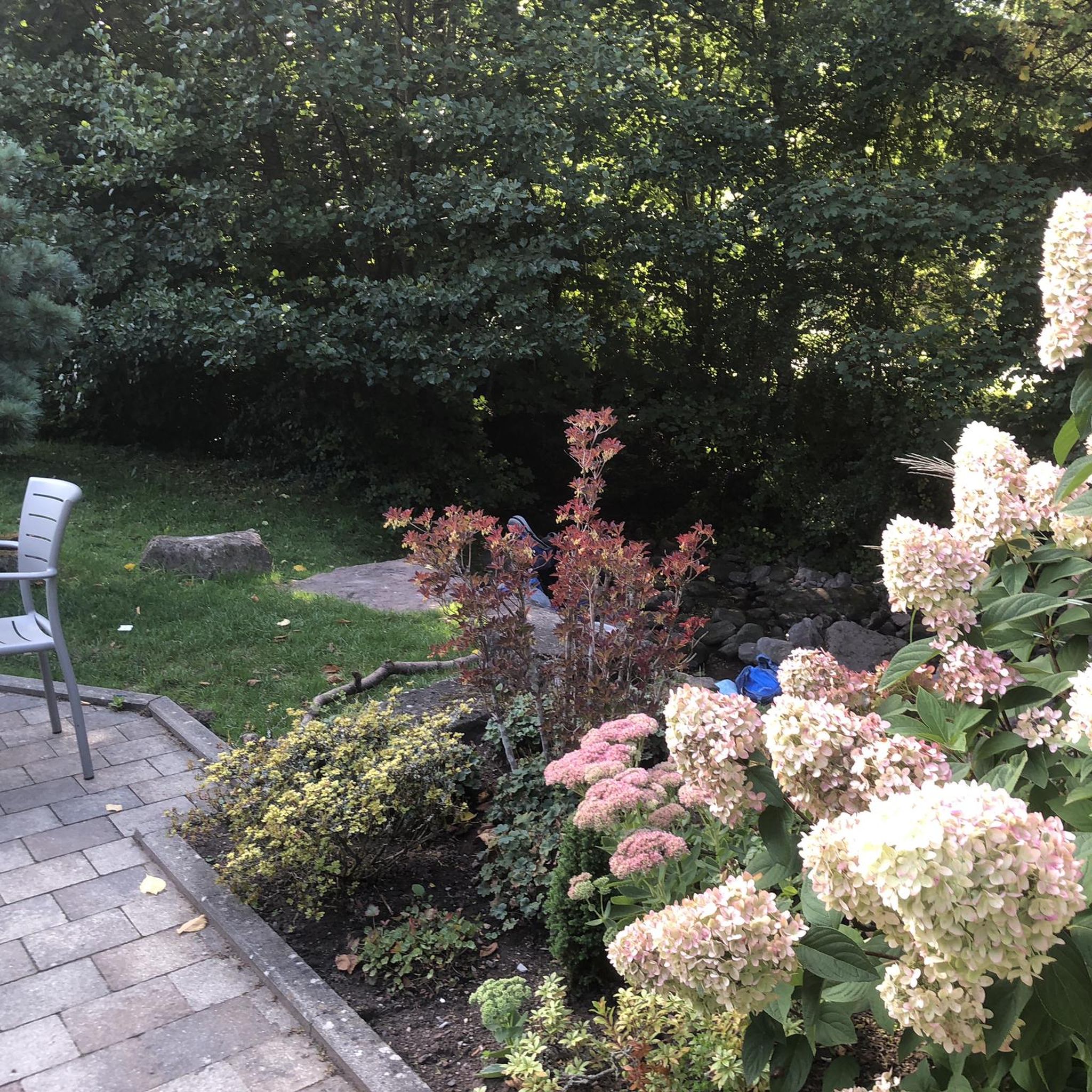
Admission is free, but donations are requested at the exit. Now in August, not much is in bloom, but we enjoyed the tranquility, the overall scenery, the many shady benches, and the connection between nature and art – a definite recommendation.
0
0
In the Stockbridge district, you'll find this photogenic cobblestone alley. The former stables of the New Town's stately homes have been converted into charming cottages. Ivy and roses climb, and flower boxes are everywhere—the whole thing creates a delightful, very romantic scene.
1
0

Part of the axis from Edinburgh Castle to Holyrood Palace. It's worth walking the entire route.
2
0

just a quiet place, memory off Susannah Alice Stephen
1
1

When you are in Edinburgh, you automatically come to the High Street. :)
2
1

The gallery is open daily from 10.00 to 17.00 with a few exceptions, but you can check it on the website https://www.nationalgalleries.org/visit The visit is free, you can choose from several galleries: national, modern 1 and 2 or portrait.
3
1
Frequently Asked Questions
How many hiking trails are available in Gilmerton/Inch?
Gilmerton/Inch offers a diverse network of over 30 hiking trails. These include 17 easy routes, 11 moderate options, and 2 more challenging trails, catering to various fitness levels and preferences.
Are there any easy, family-friendly walks in Gilmerton/Inch?
Yes, Gilmerton/Inch has several easy walks suitable for families. The Gravel Path Through Fields – Mortonhall Woodland Trail loop from Burdiehouse is an easy 3.6-mile (5.8 km) path that traverses open fields and woodlands, offering a gentle experience. Another great option is the Seven Acre Park – Stables Bar Courtyard loop from Burdiehouse, a 2.8-mile (4.5 km) trail through green spaces and local parkland.
What are some notable natural features or viewpoints to explore while hiking?
The region is rich in natural features and offers stunning viewpoints. You can hike to Arthur's Seat, an iconic ancient volcano with commanding views, or explore the Pentland Hills, where Carnethy Hill provides expansive vistas. Blackford Hill also offers breathtaking panoramic views of the Edinburgh skyline. For a different perspective, Corstorphine Hill Tower provides incredible city views when open.
Are there any circular walks in the Gilmerton/Inch area?
Yes, many of the trails in Gilmerton/Inch are designed as loops, offering convenient circular walks. Examples include the Gravel Path Through Fields – Mortonhall Woodland Trail loop and the Seven Acre Park – Stables Bar Courtyard loop. These allow you to start and finish at the same point without retracing your steps.
Can I bring my dog on the hiking trails in Gilmerton/Inch?
Many trails in Gilmerton/Inch are dog-friendly, especially those through woodlands and open fields like the Mortonhall Woodland Trail. However, it's always recommended to keep dogs on a leash, particularly in nature reserves or areas with livestock, and to check local signage for any specific restrictions.
What is Gilmerton Cove, and can I visit it?
Gilmerton Cove is a unique historical site featuring a series of hand-carved underground passageways and chambers. While it represents a fascinating historical and geological feature of the area, it was closed as of 2023. For more information, you can refer to its Wikipedia page: Gilmerton Cove on Wikipedia.
Are there any challenging hikes for experienced hikers?
For those seeking a more challenging experience, the Victoria Street – Scott Monument loop from Historic Environment Scotland is a difficult 11.7-mile (18.8 km) trail. This route offers extensive urban and natural exploration, connecting city landmarks with scenic paths and significant elevation changes. Additionally, the Pentland Hills, accessible from the area, provide opportunities for more strenuous climbs like Carnethy Hill.
What do other hikers say about the trails in Gilmerton/Inch?
The trails in Gilmerton/Inch are highly regarded by the komoot community, with an average rating of 4.6 stars from over 650 reviews. Hikers often praise the diverse landscapes, from ancient volcanic hills to accessible woodlands, and the variety of options for different ability levels.
How can I get to the hiking trails using public transport?
Gilmerton/Inch is well-served by Edinburgh's public transport network. Many trailheads, including those for Mortonhall Woodland Trail and Inch Park, are accessible via local bus routes. It's advisable to check Lothian Buses' website for the most current routes and timetables to plan your journey to specific starting points.
Are there places to park near the trailheads?
Yes, parking is generally available near popular hiking areas in Gilmerton/Inch. For instance, there are parking facilities close to Mortonhall Woodland Trail, Inch Park, and Craigmillar Castle Park. Specific parking availability can vary, so it's recommended to check local information for your chosen trailhead.
What kind of terrain can I expect on the hikes?
The terrain in Gilmerton/Inch is quite varied. You can expect gentle paths through open fields and woodlands, such as on the Frogstone Road Downhill – Stables Bar Courtyard loop, as well as more uneven ground, particularly in areas with historical limestone quarries. Hikes up Arthur's Seat or in the Pentland Hills will involve steeper, rockier ascents.
Are there any historical sites or landmarks along the trails?
Beyond natural features, you can encounter historical sites. While not directly on a trail, Holyrood Palace is nearby, and the Victoria Street – Scott Monument loop connects to city landmarks like the Scott Monument. The area's history is also subtly present in the landscape, with hints of former limestone quarries.
Most popular routes around Gilmerton/Inch
Most popular attractions around Gilmerton/Inch

Get inspired with the komoot mobile app


Explore more
Browse the best Hikes in other regions.
