The best running trails around New Pitsligo
3.0
(2)
52
runners
7
runs
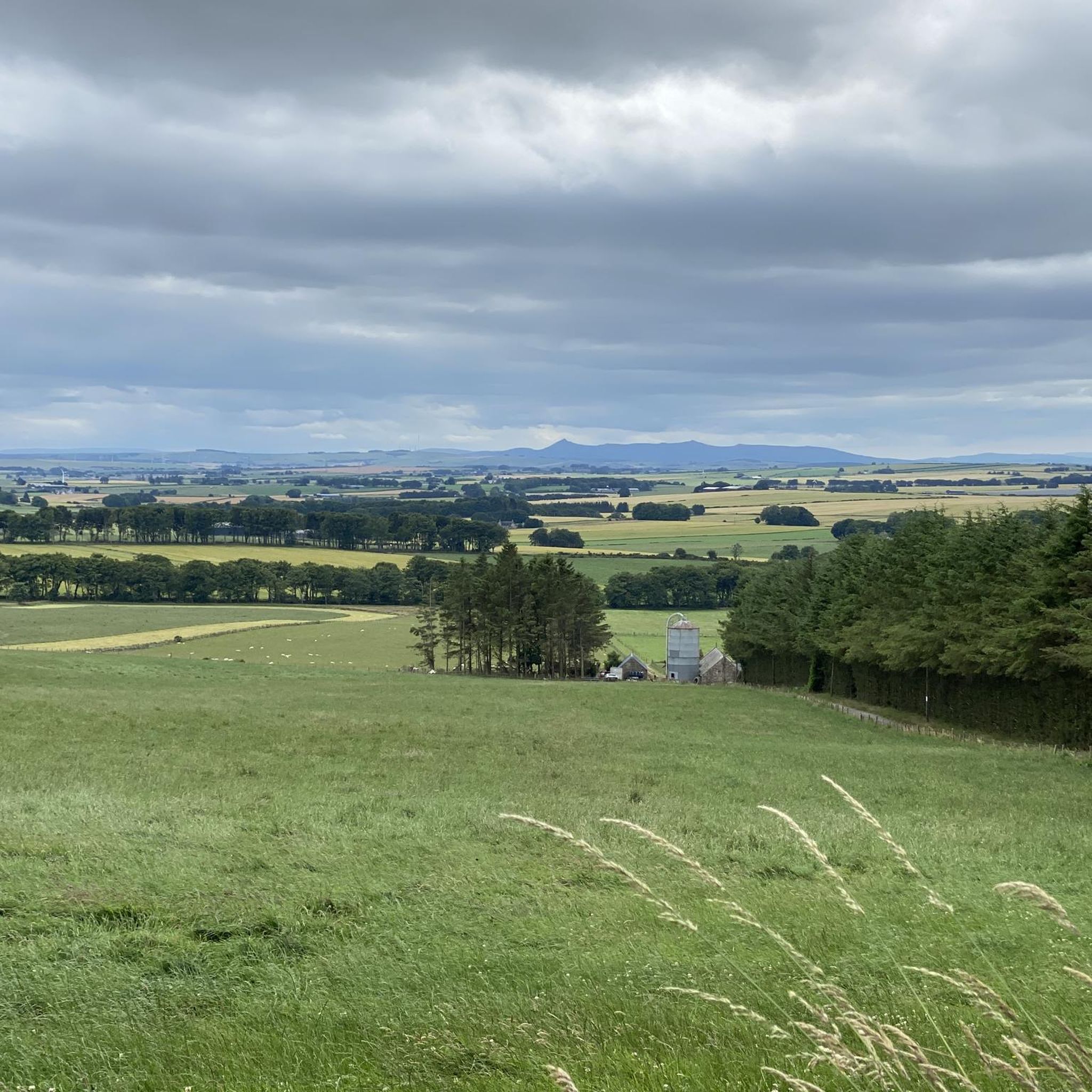
Jogging routes around New Pitsligo are set within the tranquil green countryside of Aberdeenshire, Scotland. The region is characterized by rolling farmlands and accessible trails, offering a peaceful backdrop for running. Joggers can find routes that explore the village's winding lanes and ascend Turlundie Hill, providing elevated views of the surrounding landscape. Proximity to the Formartine and Buchan Way also offers relatively flat, well-surfaced sections suitable for running.
Best jogging routes around New Pitsligo
- The most popular jogging route is…
Last updated: June 28, 2026
3.0
(2)
8
runners
4.87km
00:31
40m
40m
Easy run. Great for any fitness level. Mostly paved surfaces. Suitable for all skill levels.
5
runners
8.97km
00:58
70m
70m
Moderate run. Good fitness required. Mostly paved surfaces. Suitable for all skill levels.

Sign up for free
7
runners
15.1km
01:47
70m
70m
Hard run. Very good fitness required. Mostly paved surfaces. Suitable for all skill levels.
3
runners
6km
00:40
30m
30m
Moderate run. Good fitness required. Mostly paved surfaces. Suitable for all skill levels.
2
runners
Moderate run. Good fitness required. Mostly paved surfaces. Suitable for all skill levels.
Get access to more routes and recommendations from other explorers.
Sign up for free
Already have an account?
Our route recommendations are based on thousands of hikes, rides, and runs completed by other people on komoot.
Start today with a free account
Your next adventure awaits.
Login or Signup
Popular around New Pitsligo
Tips from the Community

The trees have been harvested. There is a path just outside the deer fence which leads to the stone circle.
0
0
Drinne Tower can be accessed May to September. The forest to the east has been harvested, opening the view towards Mintlaw, Peterhead and Fraserburgh.
0
0

Maud, formerly known as Brucklay is a quaint village that once served as a crucial junction for the Fraserburgh and Peterhead railway lines. The station, a lasting testament to its historical significance, now houses the Formartine & Buchan Railway Museum. Note that the museum operates seasonally during the summer, so it's advisable to check the opening times before planning your visit.
0
0
The South Ugie Water is a tributary of the Ugie Water. This section of the Buchan and Formartine Way closely follows the watercourse between Maud and Old Deer. The Ugie drainage basin, particularly in the South Ugie Water catchment area, boasts significant traces of prehistoric settlement. One notable example is the Catto Long Barrow, situated to the south of the mainstem.
0
0

Deer Abbey is just of the Formartine and Buchan way and well worth stopping by. Maintained by Historic Scotland and free entry, the ruins are interesting to explore. Is it said this was once the home of the book of deer, the oldest know Gaelic writing.
0
0
The lake makes a great loop to run, and is often filled with wildlife. A whole loop is about 1km. There is plenty of parking in Mintlaw. The bridge here makes a good picture.
0
0

The café, while it doesn’t have any vegan aid in the menu, they will adapt the panini for you and they do soya lattes.
0
1

Platform 5 Cafe is a large and friendly family run cafe. Open Tue to Sun 10:00 - 17:00
0
0
Frequently Asked Questions
How many running routes are available in the New Pitsligo area?
There are 7 dedicated running routes around New Pitsligo listed on komoot, offering a variety of distances and difficulty levels to suit different preferences.
What kind of terrain can I expect on jogging trails around New Pitsligo?
The jogging trails in New Pitsligo primarily feature tranquil green countryside and rolling farmlands. You'll find a mix of accessible trails, including sections of the well-surfaced Formartine and Buchan Way, which follows an old railway line. Some routes may include winding village lanes and ascents like Turlundie Hill, offering varied surfaces.
Are there any easy running routes suitable for beginners or families in New Pitsligo?
Yes, there is one easy running route available. While the popular "White Cow Wood loop from North Auchmachar" is often chosen for its gentle elevation, you might also consider the moderate Platform 5 Café & Sweet Shop loop from Maud, which is 6.0 km long and offers open countryside views.
Can I find longer, more challenging running trails in New Pitsligo?
Absolutely. For those seeking a greater challenge, there are 3 difficult running routes. A notable option is the Deer Abbey – Drinnie Woods Picnic Area loop from Maud, which spans 31.8 km and features significant elevation changes.
What scenic views or natural features can I enjoy while running near New Pitsligo?
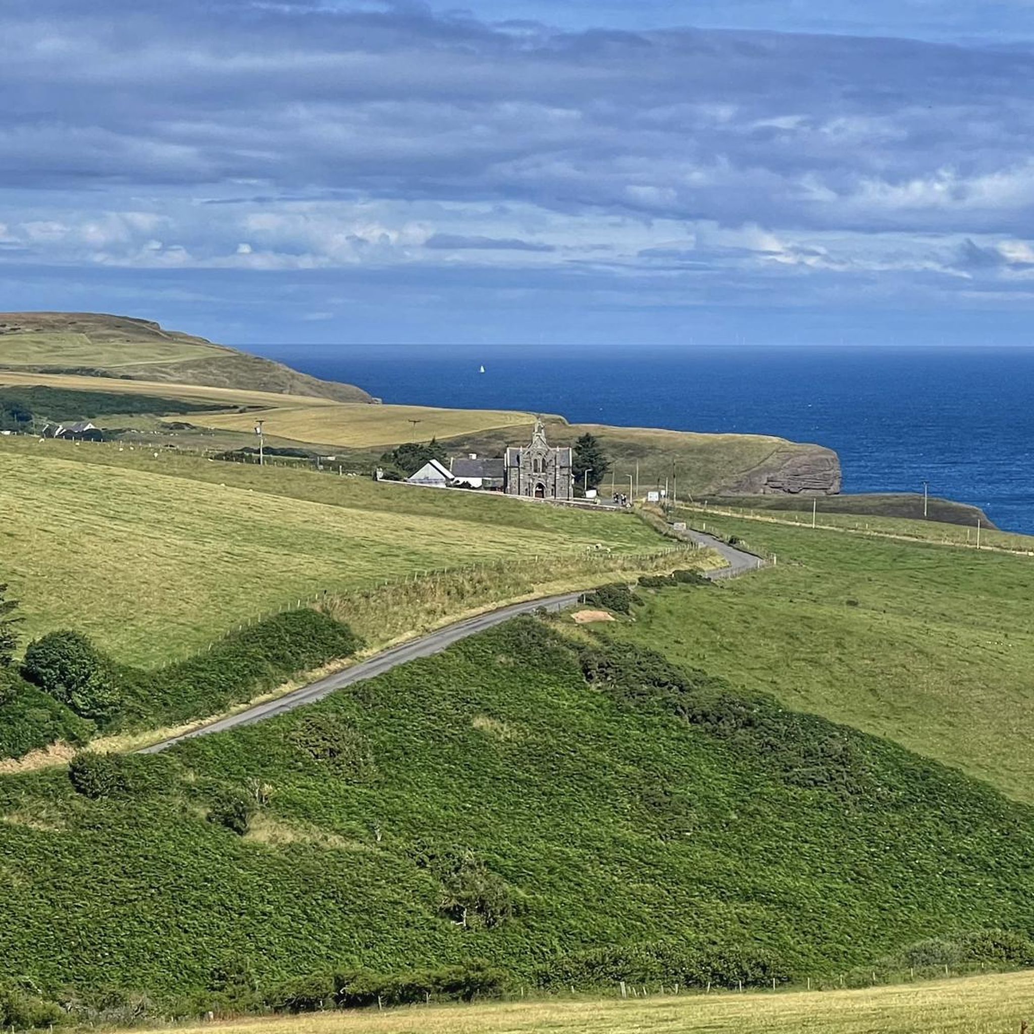
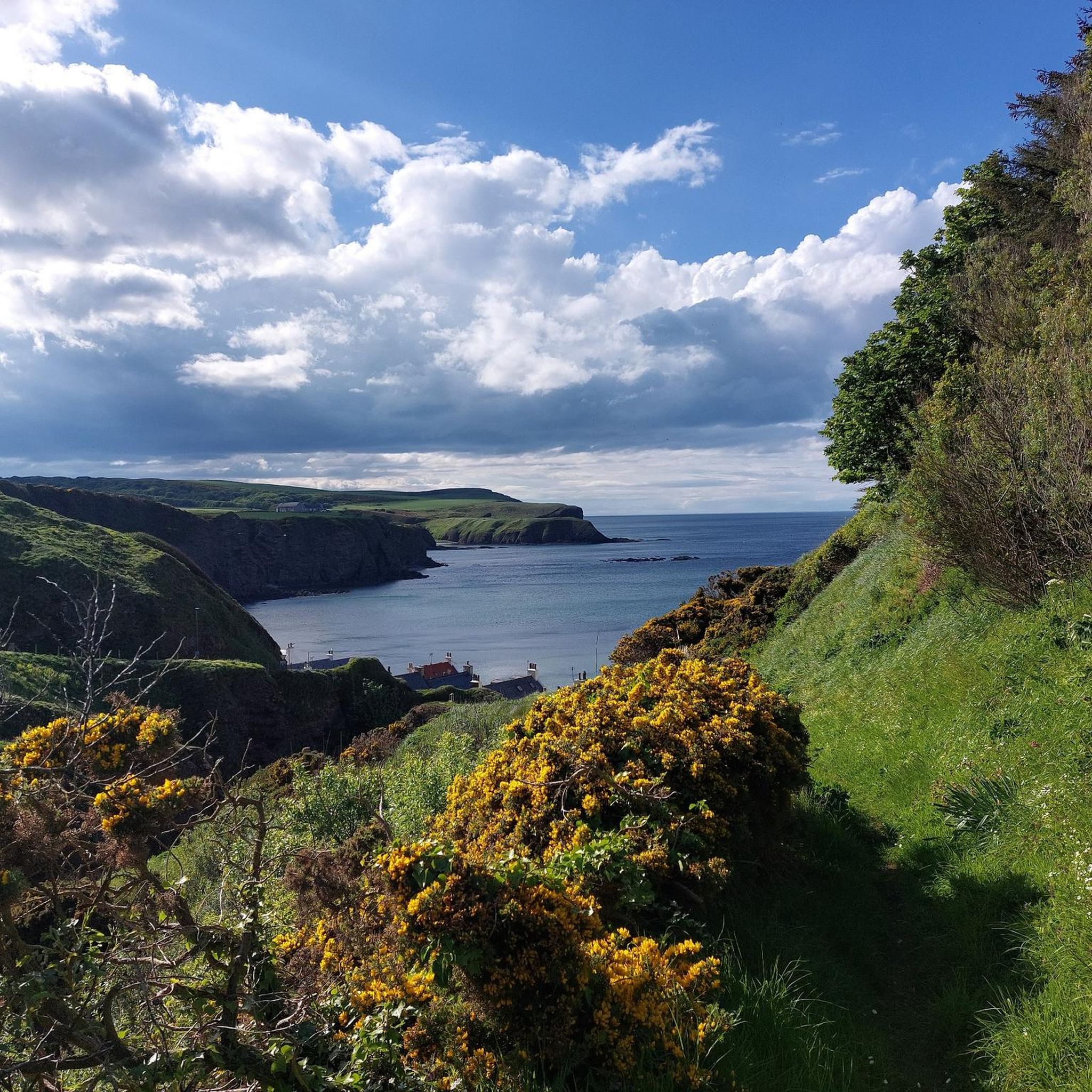
Jogging in New Pitsligo offers beautiful views of tranquil green countryside and rolling farmlands. Ascending Turlundie Hill provides breathtaking vistas of the surrounding landscape, and on clear days, you might even catch a glimpse of the ocean. The nearby coast, just five miles away, features dramatic red sandstone cliffs and bays, particularly around New Aberdour.
Are there any historical landmarks or interesting places to see along the running routes?
While the routes themselves focus on natural beauty, the wider area around New Pitsligo offers several points of interest. You could explore the picturesque Pennan Village and Cliffs, famous for its dramatic coastal scenery, or visit the historic Loudon Wood Stone Circle.
Are the running trails around New Pitsligo dog-friendly?
Many trails in rural Aberdeenshire are suitable for dogs, especially those that follow old railway lines like sections of the Formartine and Buchan Way. However, as much of the countryside is farmed, it's always advisable to keep dogs on a lead, especially near livestock, and to follow the Scottish Outdoor Access Code.
What do other runners enjoy the most about jogging in New Pitsligo?
The area is highly rated by the komoot community, with an average score of 3.0 stars. Runners often praise the tranquil green countryside, the peaceful atmosphere, and the variety of accessible trails that cater to different fitness levels.
Are there any cafes or pubs near the running routes in New Pitsligo?
Yes, for a post-run refreshment, you can find options like Eli's Coffee, Cakes & Crafts in the vicinity. The Platform 5 Café & Sweet Shop loop from Maud even suggests a route that passes by a local establishment.
Are there any circular running routes available?
Yes, many of the routes around New Pitsligo are designed as loops. For instance, the Running loop from Tyrie is a popular moderate circular option, and the Platform 5 Café & Sweet Shop – Deer Abbey loop from Maud offers a longer, more challenging circular experience.
What is the best time of year to go running in New Pitsligo?
New Pitsligo's tranquil green countryside is beautiful year-round. Spring and summer offer pleasant temperatures and lush scenery, while autumn brings vibrant colors. Some sections of trails, particularly the Formartine and Buchan Way, can be exposed to wind and become muddy in wetter conditions, so checking local weather forecasts is always recommended.
Most popular routes around New Pitsligo
Most popular attractions around New Pitsligo

Get inspired with the komoot mobile app


Explore more
Browse the best Running Trails & Routes in other regions.
