The best walks and hikes in Pinares
4.6
(468)
2,554
hikers
156
hikes
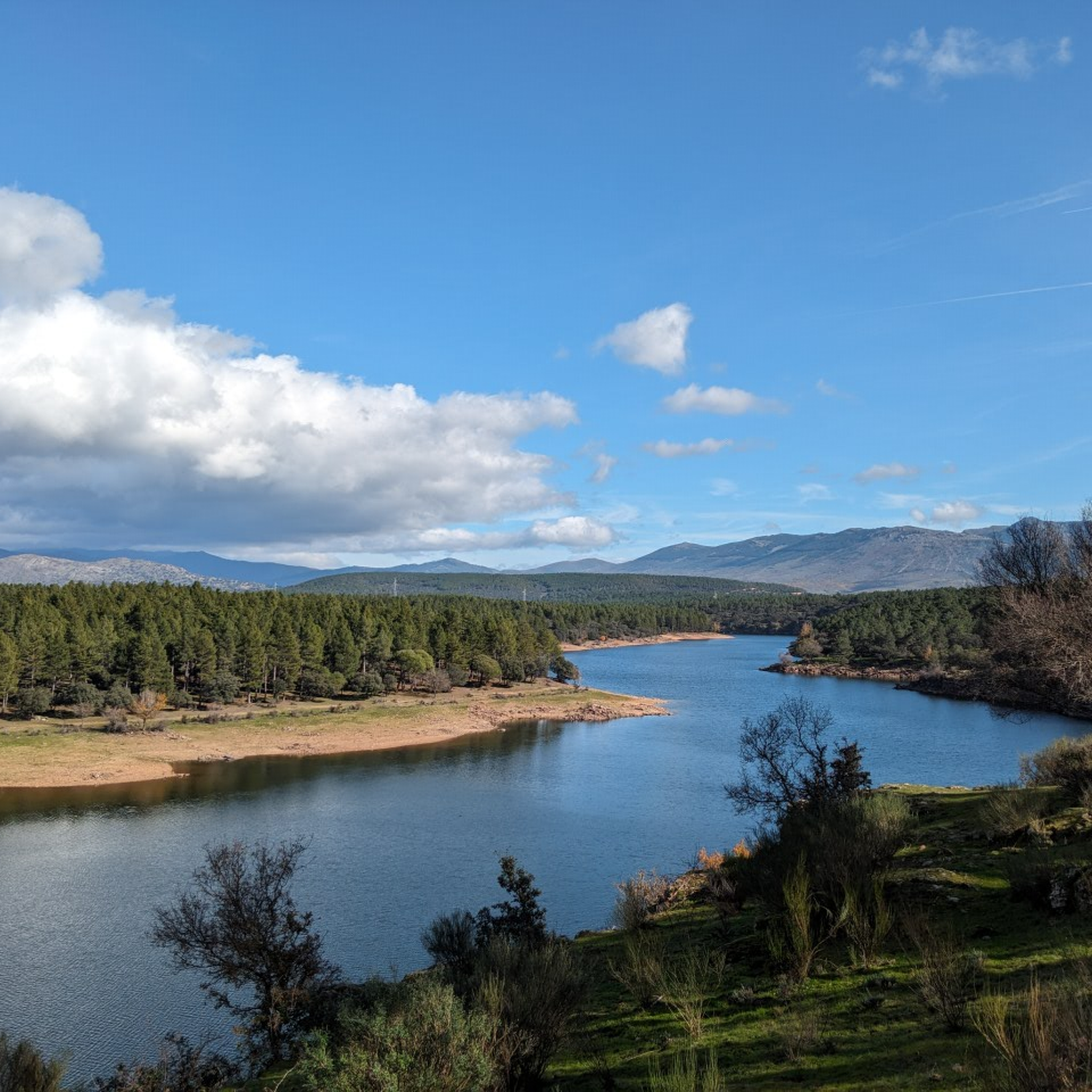
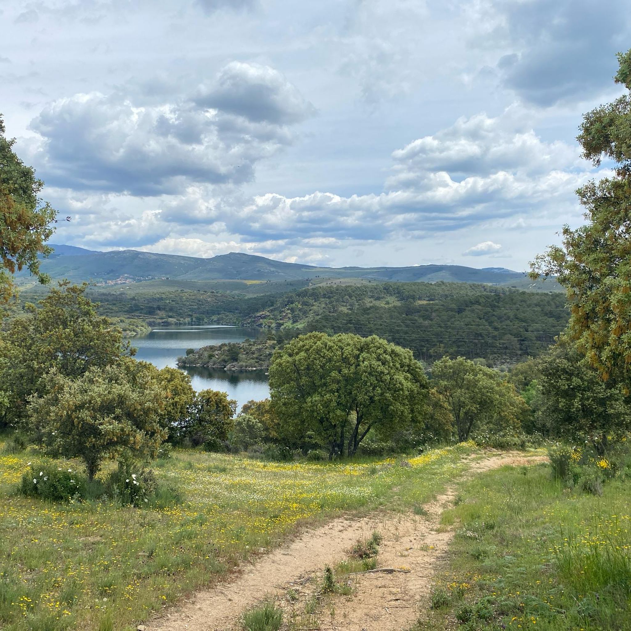
Hiking in Pinares offers diverse landscapes, primarily characterized by extensive pine forests and river valleys. The region features the Lozoya River, which carves through the terrain, and includes areas like the Embalse de El Villar reservoir. Hikers can explore varied elevations, from gentle riverside paths to more challenging ascents through wooded areas.
Best hiking trails in Pinares
- The most popular hiking route is Embalse de El Villar via the Río Lozoya – circular from Buitrago de Lozoya, a 18.0…
Last updated: August 25, 2026
2
hikers
Hard hike. Very good fitness required. Easily-accessible paths. Suitable for all skill levels.
4.8
(14)
77
hikers
8.11km
02:53
250m
250m
Moderate hike. Good fitness required. Mostly accessible paths. Sure-footedness required.

Sign up for free
4.2
(5)
26
hikers
13.4km
03:43
250m
240m
Moderate hike. Good fitness required. Easily-accessible paths. Suitable for all skill levels.
5.0
(1)
23
hikers
10.1km
02:50
200m
200m
Moderate hike. Good fitness required. Easily-accessible paths. Suitable for all skill levels.
3.0
(1)
5
hikers
15.9km
04:22
260m
260m
Moderate hike. Good fitness required. Easily-accessible paths. Suitable for all skill levels.
Get access to more routes and recommendations from other explorers.
Sign up for free
Already have an account?
Our route recommendations are based on thousands of hikes, rides, and runs completed by other people on komoot.
Start today with a free account
Your next adventure awaits.
Login or Signup
Tips from the Community

A very pleasant pass to climb up the Puebla de la Sierra side. To do this, you have to access it from Robledillo, with very steep ramps to warm up, and a few kilometers on a narrow and bumpy road. The views and the route are totally worth it. Avoid weekends, especially busy hours, as motorcycles, and especially cars, can spoil the party a bit, as I say, the road is very narrow. There is a fountain at the lowest point between Robledillo and Puebla, and another one when leaving Puebla de la Sierra. They are the only two points where you will be able to fill your bottles "for free".
0
0

Accessible peak and spectacular views
0
0

A privileged place to admire the surrounding landscape.
0
0

nice easy route, to repeat!
0
0

Wonderful views and surroundings
0
0


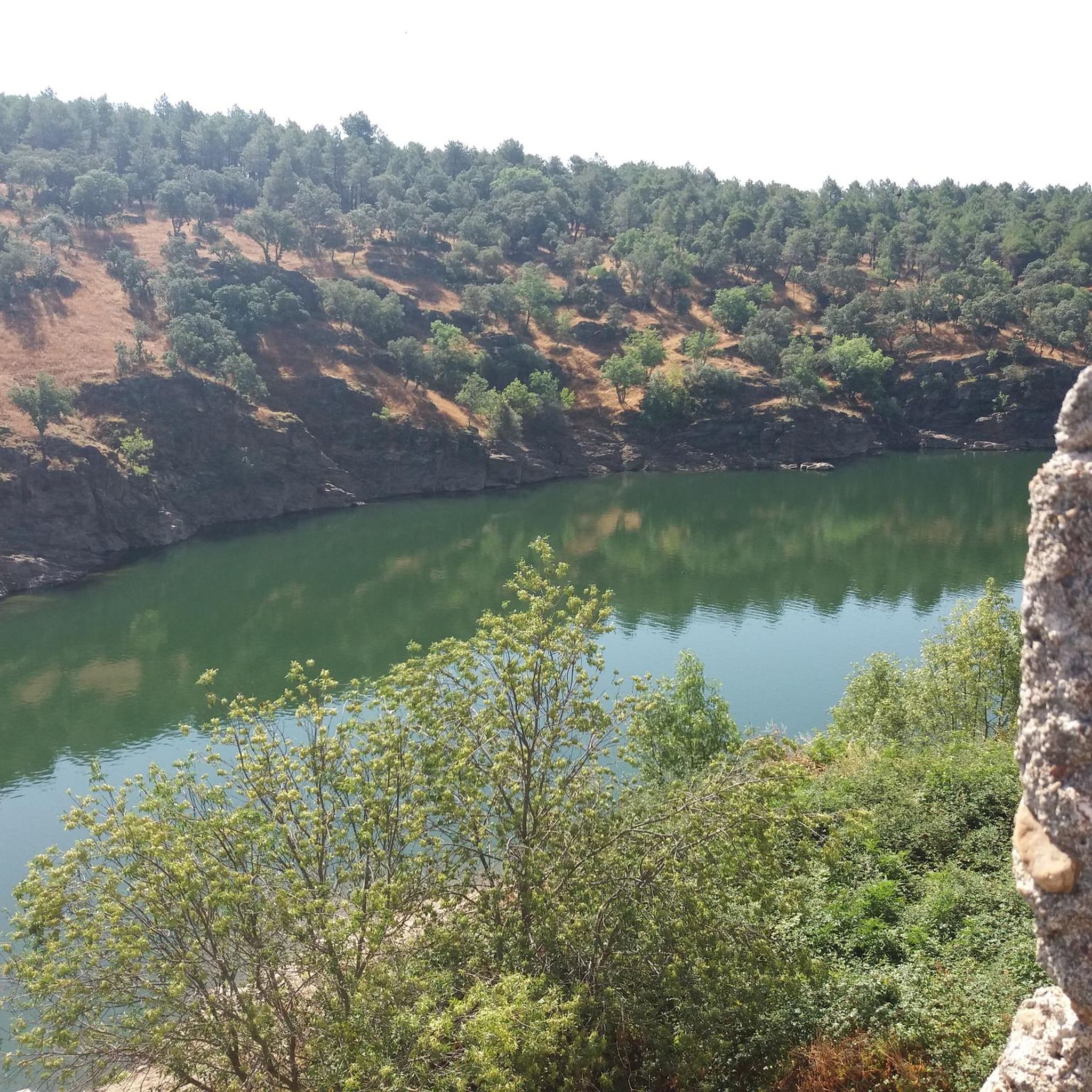
The Senda de las Gariñas is a circular path 6.5 km long. The route crosses part of the forest mass known as the Gariñas forest and reaches the Puentes Viejas reservoir, where we find the riverside landscape. The forest is made up mostly of resin pine, although as we approach the banks of the reservoir we also find ash trees and Montpellier maples.
0
0

Forest mass known as the Gariñas forest and reaches the Puentes Viejas reservoir, where we find the riverside landscape. The forest is made up mostly of resin pine, although as we approach the banks of the reservoir we also find ash trees and Montpellier maples.
0
0
Frequently Asked Questions
How many hiking trails are available in Pinares?
Pinares offers a wide variety of hiking opportunities, with over 140 trails recorded on komoot. These range from easy strolls to challenging full-day excursions, ensuring options for all fitness levels.
What kind of landscapes can I expect to see while hiking in Pinares?
The region is characterized by extensive pine forests, particularly around the Lozoya River valley. You'll find diverse scenery, including the tranquil waters of the Embalse de El Villar reservoir, and varied elevations from gentle riverside paths to more demanding ascents through wooded areas. The broader Pinares region in Soria, Spain, also features stunning glacial lagoons like Laguna Negra and unique rock formations such as those found in Castroviejo.
Are there easy hiking trails suitable for families or beginners in Pinares?
Yes, Pinares has over 20 easy hiking trails perfect for families or those new to hiking. These routes typically feature gentle gradients and shorter distances, allowing everyone to enjoy the natural beauty of the pine forests and riverbanks.
Are there any circular hiking routes in Pinares?
Many trails in Pinares are designed as circular routes, offering convenient starting and ending points. For example, the La Puebla Pass – Puerto de la Puebla loop from Puerto de la Puebla is a moderate 5-mile path that provides open views and varied terrain. Another option is the Buitrago del Lozoya Wall – Buitrago de Lozoya loop from Buitrago del Lozoya, which takes you through historical areas and along riverbanks.
What are some notable natural attractions or landmarks to see along the trails?
Hikers can explore several interesting natural features and landmarks. The Puerto de la Puebla offers scenic mountain pass views. You can also discover the serene Bosque de las Gariñas and Puentes Viejas Reservoir, or follow the picturesque Lozoya River. For those seeking higher elevations, the Pico Porrejón provides impressive vistas.
Are there any challenging hikes for experienced trekkers?
Absolutely. Pinares offers 27 difficult trails for experienced hikers seeking a challenge. These routes often involve significant elevation gains and longer distances, such as the Embalse de El Villar via the Río Lozoya – circular from Buitrago de Lozoya, a nearly 18-mile trail that takes almost 8 hours to complete.
Can I bring my dog on the hiking trails in Pinares?
Many trails in Pinares are dog-friendly, allowing you to enjoy the outdoors with your canine companion. However, it's always recommended to check specific trail regulations or local signage, especially in protected areas, and to keep your dog on a leash for their safety and to protect local wildlife.
What is the best time of year to go hiking in Pinares?
The extensive pine forests and varied terrain of Pinares make it suitable for hiking across multiple seasons. Spring and autumn offer pleasant temperatures and vibrant colors, while summer provides warm, sunny days ideal for exploring. Winter hiking is also possible, especially on lower elevation trails, though higher mountain areas may require appropriate gear for snow and ice.
What do other hikers enjoy most about hiking in Pinares?
The hiking experiences in Pinares are highly rated by the komoot community, with an average score of 4.6 stars from over 400 reviews. Hikers frequently praise the region's diverse landscapes, the tranquility of the pine forests, and the well-maintained paths along the river valleys and around the reservoir.
Are there any routes that feature waterfalls?
While the immediate area around the Embalse de El Villar and Lozoya River primarily features river and reservoir views, the broader Pinares region in Soria, Spain, is known for scenic waterfalls. Notable examples include the Cueva Serena Waterfall in Duruelo de la Sierra and the Cascada de la Fuentona, which can be destinations for dedicated hikes.
What kind of wildlife might I encounter on the trails?
The dense pine forests and river ecosystems of Pinares support a variety of wildlife. You might spot various bird species, small mammals, and insects. The region's natural environment provides habitats for diverse flora and fauna, making it an interesting area for nature observation.
Are there any longer, multi-hour hikes available?
Yes, Pinares offers several longer routes for those looking for extended hikes. For instance, the Gariñas Forest – Lozoya River loop from Buitrago del Lozoya is a moderate 8.7-mile trail that takes over 3.5 hours, while the Lozoya River – Gariñas Forest loop from Buitrago del Lozoya covers nearly 10 miles and typically takes over 4 hours.
Most popular routes in Pinares
Most popular attractions in Pinares

Get inspired with the komoot mobile app


Explore more
Browse the best Hikes in other regions.
