The best MTB trails in Rohrbrunner Forst
4.6
(1809)
5,101
riders
372
rides
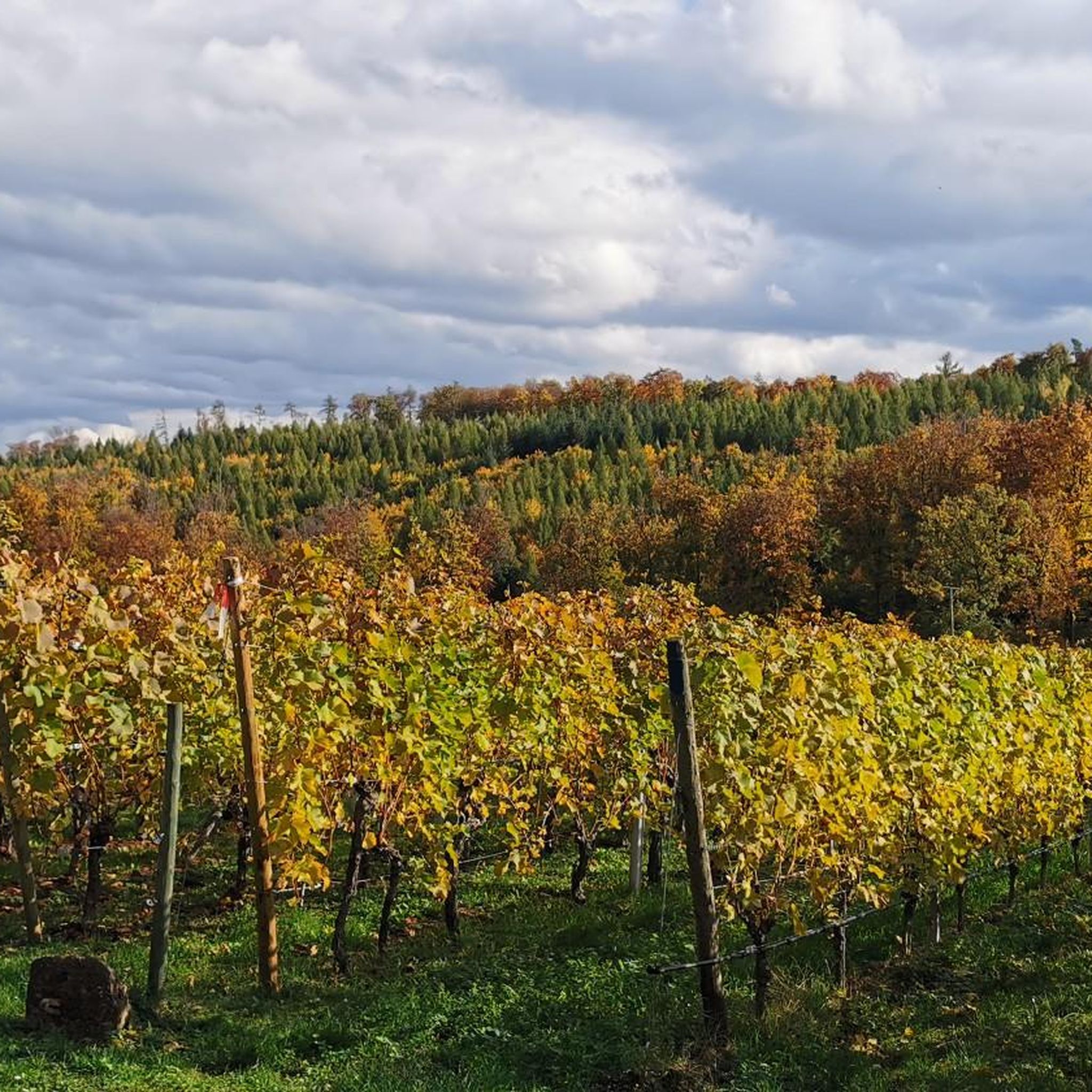
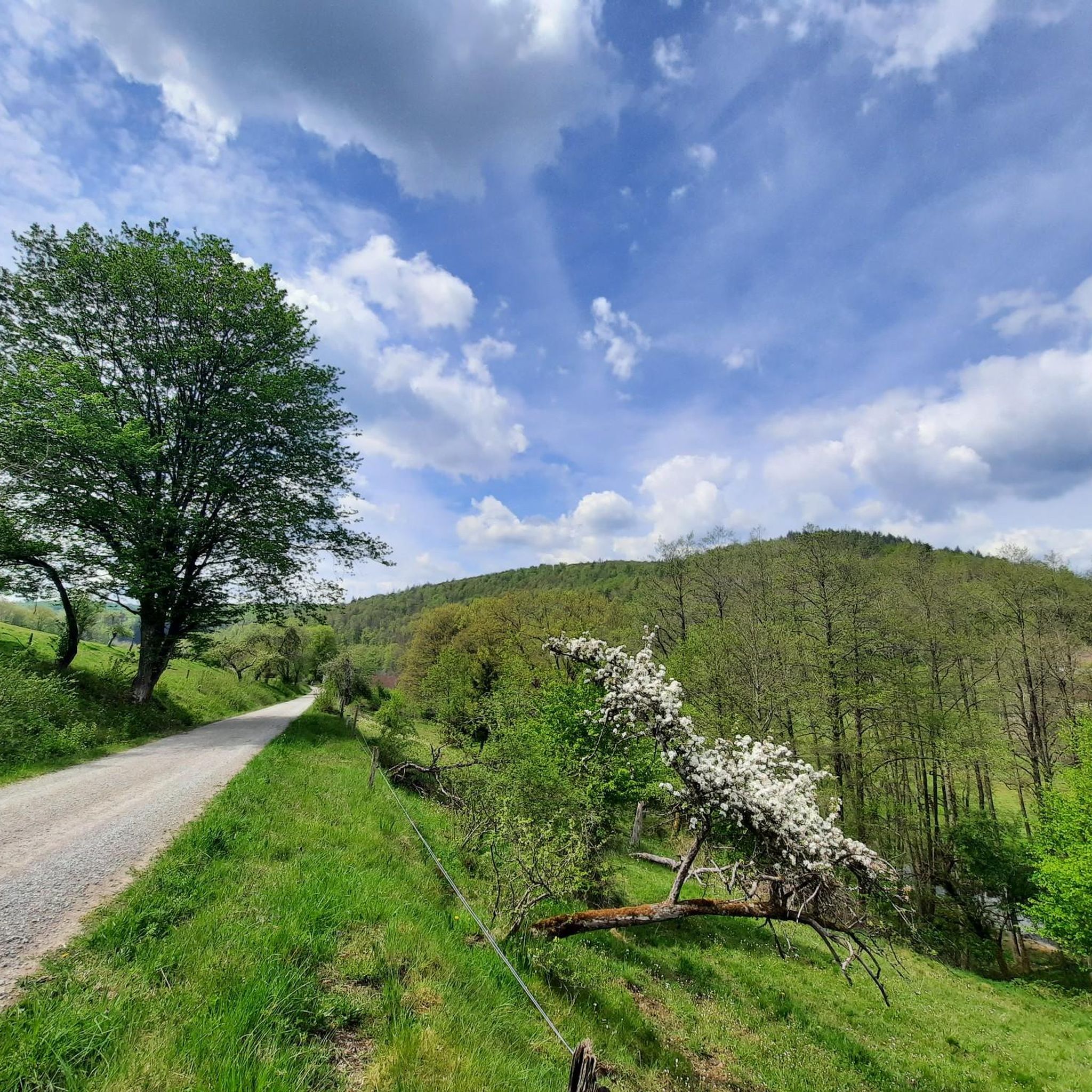
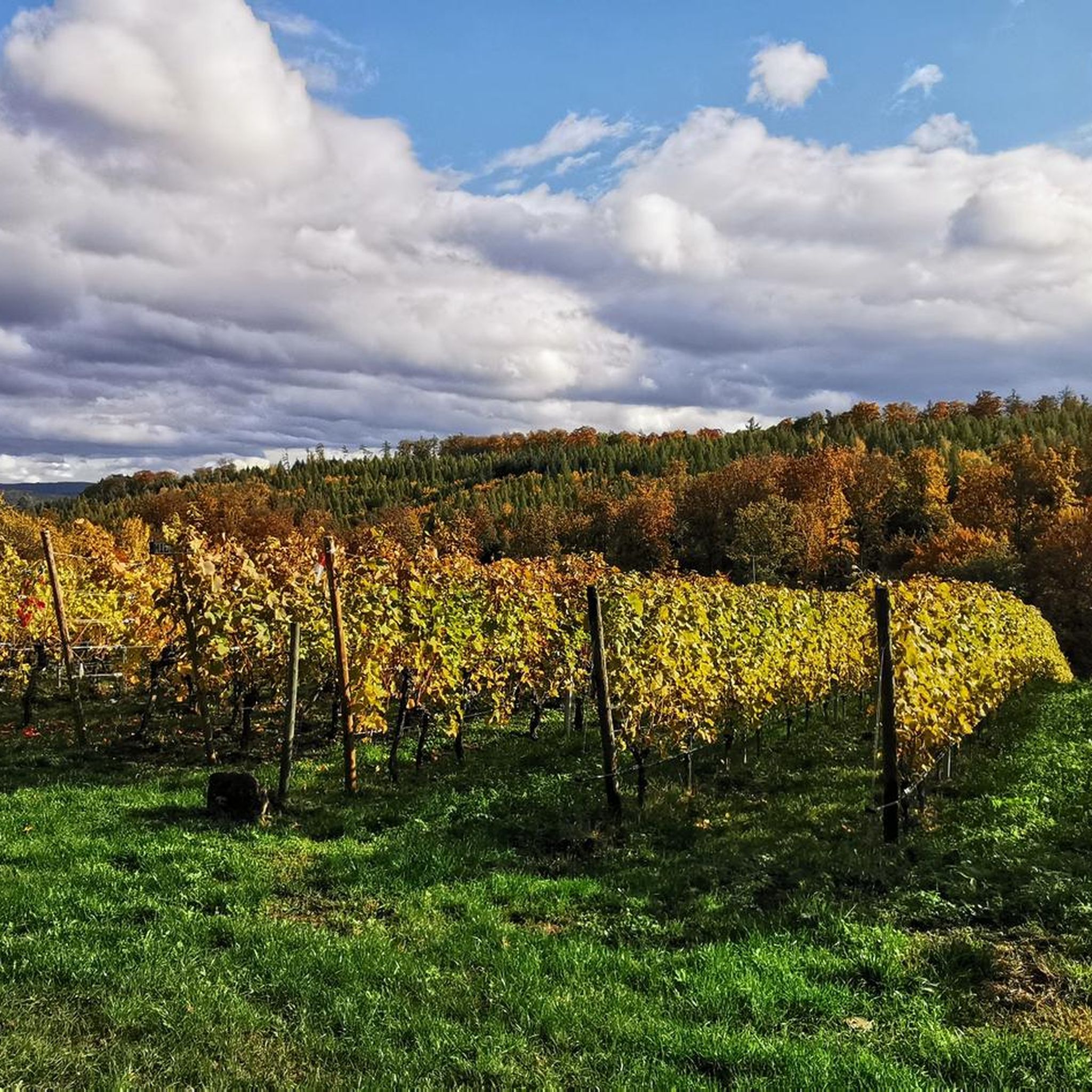
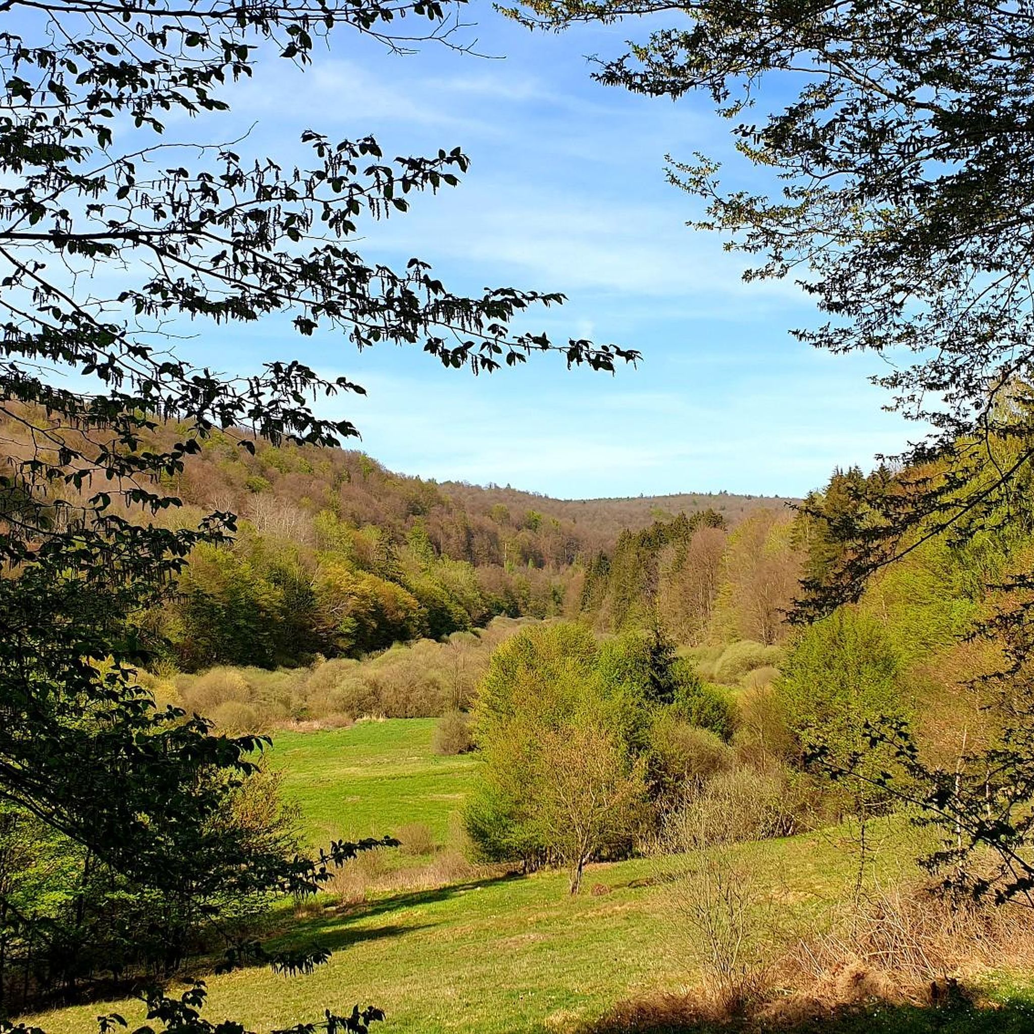
Mountain biking in Rohrbrunner Forst offers diverse landscapes within the Bavarian Spessart low-mountain range. This largely forested area, spanning 39.03 km², is characterized by rolling hills and dense woodlands. It features significant elevation changes, including the highest peaks in the Spessart, providing varied terrain for mountain bikers. The region also encompasses natural reserves and streams, contributing to its pristine natural environments.
Best mountain bike trails in Rohrbrunner Forst
- The most popular mountain bike trail is Karlshöhe – Trail to Karlshöhe…
Last updated: May 20, 2026
5.0
(13)
34
riders
21.6km
01:45
350m
350m
Moderate mountain bike ride. Good fitness required. Advanced riding skills necessary.
5.0
(4)
21
riders
31.1km
02:54
600m
600m
Moderate mountain bike ride. Good fitness required. Advanced riding skills necessary.

Sign up for free
4.7
(6)
21
riders
30.1km
02:40
560m
560m
Moderate mountain bike ride. Good fitness required. Advanced riding skills necessary.
4.7
(3)
17
riders
24.7km
02:10
390m
390m
Moderate mountain bike ride. Good fitness required. Advanced riding skills necessary.
4.8
(6)
18
riders
14.4km
01:08
280m
280m
Easy mountain bike ride. Great for any fitness level. Suitable for all skill levels.
Get access to more routes and recommendations from other explorers.
Sign up for free
Already have an account?
Our route recommendations are based on thousands of hikes, rides, and runs completed by other people on komoot.
Start today with a free account
Your next adventure awaits.
Login or Signup
Tips from the Community

Excellent German and Franconian cuisine, unfortunately only open Saturdays and Sundays. Very tasty and a great tip.
1
0

Beautiful facility in the recreational area
0
0

The pillars are not necessarily suitable for beginner climbers.
1
0

Very nice trail, feels completely flat.
0
0

The Federal Motorway 3 (ABC 3) – short form: Autobahn 3 (abbreviation: A 3) – is 769 kilometers long, making it Germany's second-longest motorway after the A 7. It runs from the Dutch border through the Ruhr region, the Cologne area, the Rhine-Main region, Franconia, and eastern Bavaria to the Austrian border near Schärding. It connects the Dutch and Belgian North Sea ports with southern and eastern Europe and, as part of the European routes 34, 35, 41, 42, 43, 44, 45, and 56, is one of Europe's most important transport routes. Source: Wikipedia
2
0

Super nice leisure facility.
2
0

The wayside cross on the Eselsweg is a historical landmark and a lovely place to stop for a moment. Not only does it mark an important point on the route, but it also invites you to enjoy the surroundings and appreciate the importance of such markings on old paths. An ideal rest point during the hike.
7
0

I think it is permanently closed
4
0
Frequently Asked Questions
How many mountain bike trails are there in Rohrbrunner Forst?
Rohrbrunner Forst offers a wide selection of mountain bike trails, with over 380 routes available. These include 64 easy, 261 moderate, and 55 difficult options, catering to various skill levels.
What kind of terrain can I expect on mountain bike trails in Rohrbrunner Forst?
The region is characterized by dense woodlands, rolling hills, and a low-mountain range, offering varied terrain. You'll encounter significant elevation changes, including the highest peaks in the Spessart like Geiersberg (586 m), Lärchhöhe (573 m), and Hohe Warte (573 m), providing both challenging climbs and rewarding descents.
Are there any family-friendly mountain bike trails in Rohrbrunner Forst?
Yes, Rohrbrunner Forst has routes suitable for families. While specific 'family-friendly' designations aren't always explicit, the presence of 64 easy trails suggests options for less experienced riders or those with children. Look for routes with lower elevation gain and shorter distances for a more relaxed family outing.
Can I bring my dog on the mountain bike trails in Rohrbrunner Forst?
Generally, dogs are welcome on trails in Rohrbrunner Forst, especially in the natural forest areas. However, it's always advisable to keep your dog on a leash, particularly in nature reserves like Weihersgrund or near wildlife, and to be mindful of other trail users. Always check local signage for specific restrictions.
What are some interesting natural features or landmarks to see along the trails?
You can explore several natural and historical points of interest. Consider visiting the Boardwalk on the Hafenlohrbach or the Boardwalk in the Hafenlohrtal Nature Reserve to experience the protected valley. The Geiersberg Summit offers rewarding views, and the Ancient Oaks of Rohrberg are a notable natural monument.
Are there any circular mountain bike routes in the area?
Many of the mountain bike trails in Rohrbrunner Forst are designed as loops. For example, the Zur Nickelsmühle Inn – Rohrberg Nature Reserve Trail loop from Rohrberg is a moderate 30.1 km route that takes you through varied terrain. Another option is the Eselsweg Trail Marker – Breitsee loop from Weibersbrunn, covering 24.7 km.
What do other mountain bikers say about the trails in Rohrbrunner Forst?
The mountain bike trails in Rohrbrunner Forst are highly regarded by the komoot community, holding an average rating of 4.7 stars from over 1,900 reviews. Users often praise the diverse landscapes, dense woodlands, and the variety of routes suitable for different skill levels.
Are there places to eat or stay near the mountain bike trails?
Yes, the region offers options for refreshments and accommodation. The Hohewart-Haus (Hohe Warte) near Hessenthal is a popular spot known for its food, including game dishes, and home-brewed beer. You can also find cafes and pubs in nearby towns like Lohr am Main, which also offers accommodation options.
What is the best time of year to go mountain biking in Rohrbrunner Forst?
The best time to mountain bike in Rohrbrunner Forst is typically from spring through autumn, when the weather is mild and the trails are dry. The dense forests provide good shade during warmer months, while autumn offers beautiful foliage. Winter riding is possible but may involve colder temperatures and potentially snowy or icy conditions.
Is public transport available to reach the mountain bike trails in Rohrbrunner Forst?
While Rohrbrunner Forst is primarily accessed by car, some regional bus services might connect to surrounding villages. However, direct public transport options specifically designed for mountain bikers with bikes are limited. It's recommended to check local bus schedules for routes serving towns like Weibersbrunn or Rohrberg, and verify if bikes can be transported.
Where can I park my car when visiting the mountain bike trails?
Parking is generally available at trailheads or in nearby villages such as Weibersbrunn, Rohrberg, or Metzgergraben. Look for designated parking areas, often near forest houses or public facilities, which serve as convenient starting points for many routes.
Are there any specific regulations or permits required for mountain biking in Rohrbrunner Forst?
Mountain biking in Rohrbrunner Forst generally follows standard regulations for forest use in Bavaria. This typically means staying on marked trails, respecting nature and wildlife, and avoiding disturbing other forest users. No specific permits are usually required for recreational mountain biking on public trails, but always observe local signage for any temporary or specific restrictions.
Most popular routes in Rohrbrunner Forst
Most popular attractions in Rohrbrunner Forst

Get inspired with the komoot mobile app


Explore more
Browse the best MTB trails in other regions.
