The best road cycling routes in Heiligenwald
4.6
(904)
7,266
riders
399
rides
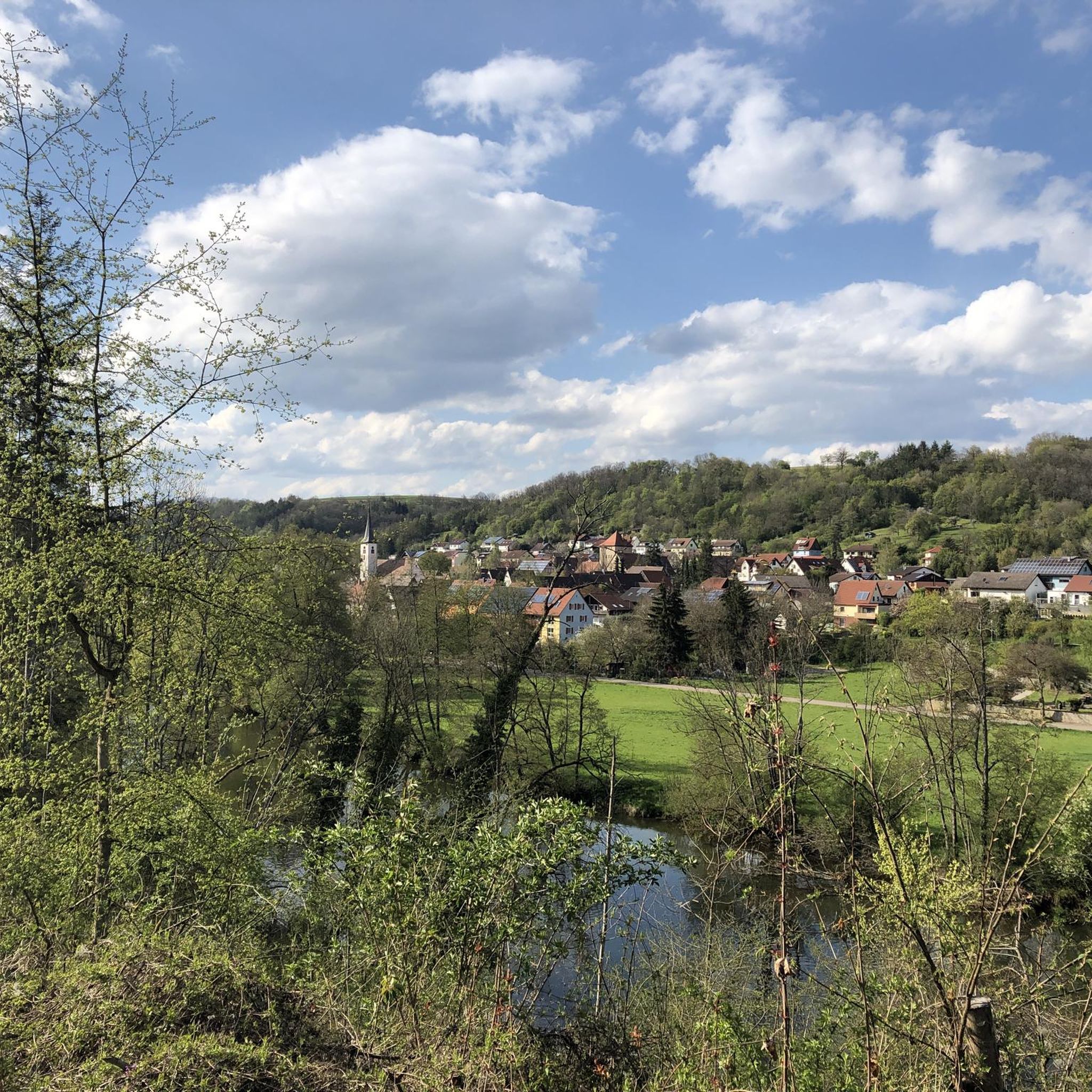
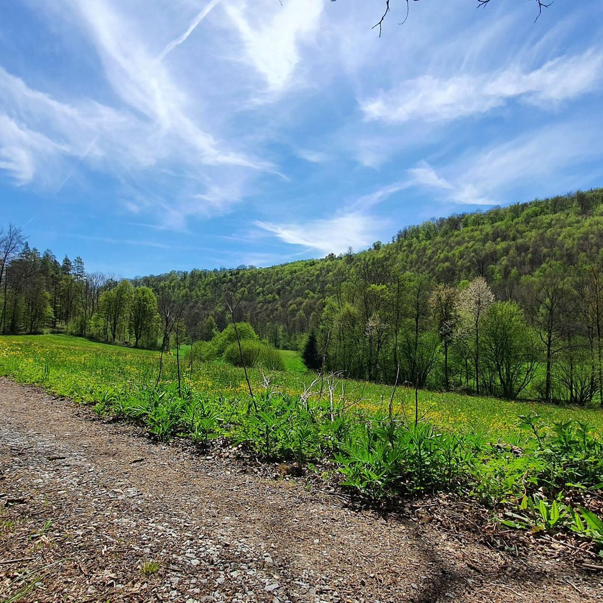
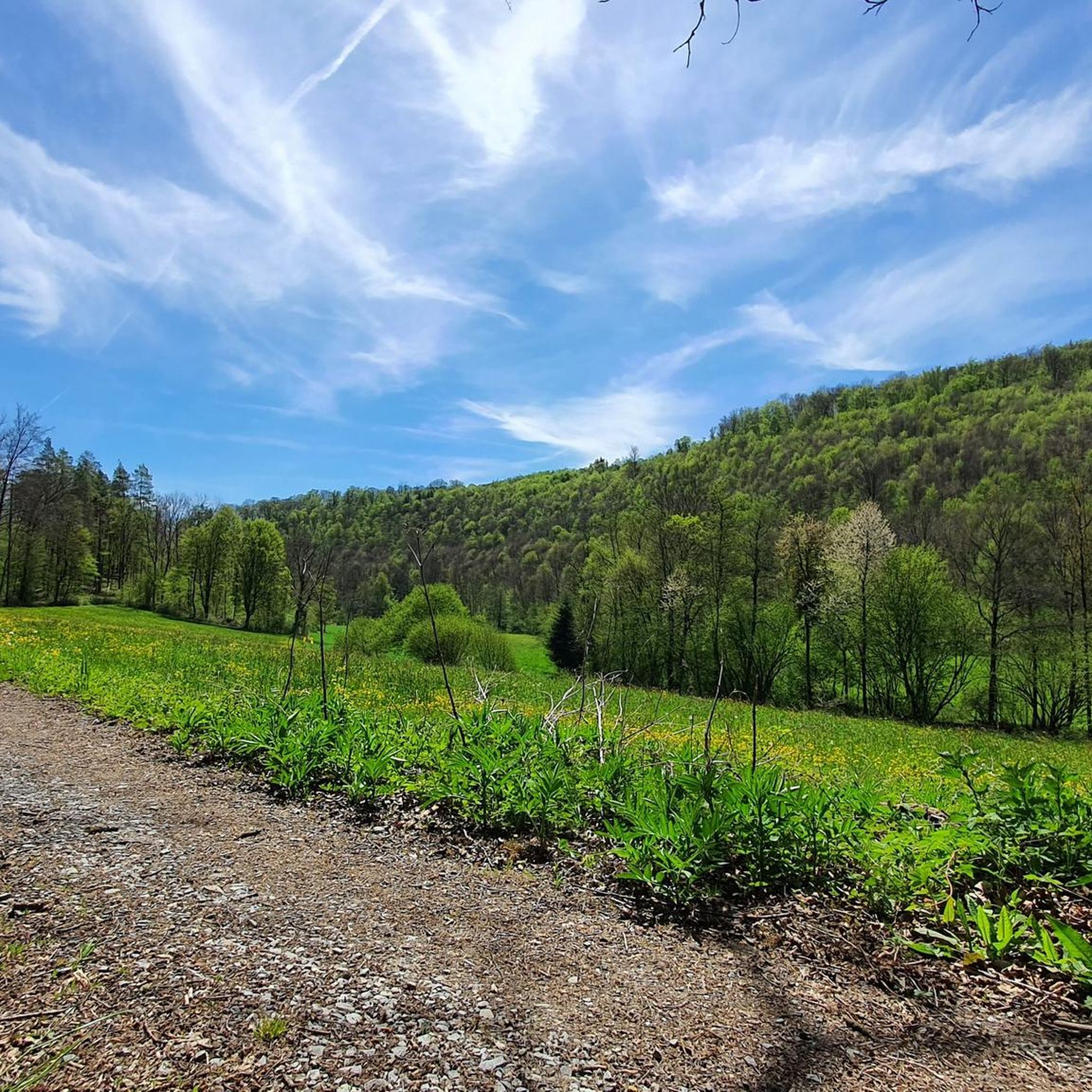
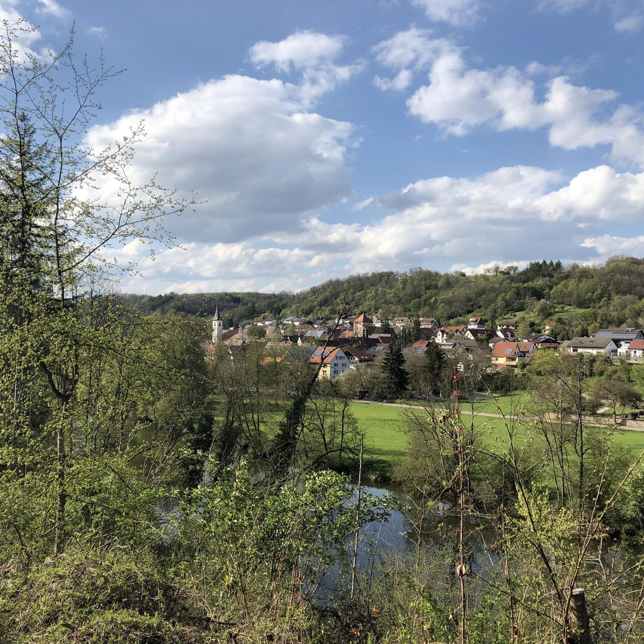
Road cycling routes in Heiligenwald, situated within the Hohenlohe region, traverse a landscape characterized by rolling hills, river valleys, and extensive forests. The area features a mix of terrain, including sections along river paths and more elevated areas, providing varied cycling experiences. Road cyclists can expect routes that wind through natural settings, often alongside waterways like the Kocher River, and past historical landmarks. This region offers a network of routes suitable for exploring its diverse natural and cultural features.
Best…
Last updated: July 5, 2026
4.7
(104)
412
riders
Moderate road ride. Good fitness required. Some segments of this route may be unpaved and difficult to ride.
5.0
(8)
214
riders
89.9km
03:43
480m
480m
Moderate road ride. Good fitness required. Mostly well-paved surfaces and easy to ride.

Sign up for free
4.5
(12)
112
riders
46.2km
02:08
430m
430m
Moderate road ride. Good fitness required. Mostly well-paved surfaces and easy to ride.
5.0
(9)
79
riders
Moderate road ride. Good fitness required. Mostly well-paved surfaces and easy to ride.
4.8
(12)
81
riders
91.2km
04:07
800m
800m
Moderate road ride. Good fitness required. Some segments of this route may be unpaved and difficult to ride.
Get access to more routes and recommendations from other explorers.
Sign up for free
Already have an account?
Our route recommendations are based on thousands of hikes, rides, and runs completed by other people on komoot.
Start today with a free account
Your next adventure awaits.
Login or Signup
Tips from the Community

Opposite the Schöntal Monastery
0
0

It leads directly over the calmly flowing Kocher and offers a beautiful view of the water and the surrounding landscape.
6
0

definitely worth a visit, the city gate is only a few meters off the bike path
0
0

Nice bike path through the Kocher valley
0
0

The former train station is located almost at the monastery and opposite the monastery garden.
8
0
The Würzburg Gate is one of Forchtenberg's historic city gates and an impressive example of medieval urban architecture. 🏰🚪 It is located at the eastern entrance to the old town and was once part of the city fortifications that protected Forchtenberg from attacks from Würzburg. With its massive masonry, characteristic round arch, and adjacent half-timbered houses, it still exudes strength and history.
6
0
The station was located near Schöntal Monastery and once served passenger and freight traffic—especially for agricultural products and visitors to the monastery. With the discontinuation of rail operations in the 1980s, it lost its function.
8
0
The castle dates back to the Middle Ages and was expanded into its current form in the 15th century. It is picturesquely situated on the banks of the Jagst River and impresses with its solid stonework and historic flair. Today, it is privately owned but houses, among other things, a hotel and serves as a venue for the Jagsthausen Castle Festival, where Goethe's "Götz von Berlichingen" is performed annually on the open-air stage.
6
0
Frequently Asked Questions
How many road cycling routes are available in Heiligenwald?
Heiligenwald offers a comprehensive network of over 400 road cycling routes. These routes cater to various skill levels, with 68 easy, 260 moderate, and 77 difficult options, ensuring there's a suitable ride for every cyclist.
What kind of terrain can I expect on road cycling routes in Heiligenwald?
Road cycling in Heiligenwald features a diverse topography, characterized by rolling hills, river valleys, and extensive forests. You'll find routes that wind along waterways like the Kocher River, as well as more elevated sections, providing a varied and engaging cycling experience. The broader Saarland region, where Heiligenwald is located, is known for its mix of flat river valley sections and more challenging hilly areas.
Are there any scenic viewpoints or natural features to look out for on the routes?
Yes, Heiligenwald's routes offer numerous scenic viewpoints and natural features. You can enjoy views of the Kocher River, traverse through the picturesque Bliesgau biosphere reserve, or explore the Saar-Hunsrück Nature Park with its deep valleys and wooded ridges. While a bit further afield, the iconic Saarschleife (Saar Loop) also offers breathtaking panoramic views from viewpoints like Cloef, often incorporated into longer tours in the region.
What are some notable landmarks or attractions I can see along the road cycling routes?
Many routes pass by interesting landmarks. For instance, the Bartenau Castle – Kocherwerk Café & Museum loop from Taläcker Bergstation takes you through historical sites. Other attractions in the vicinity include the Black Footbridge (Kupfertal) and the Kupfer Stream. The region also boasts historical towns and cultural sights, such as the UNESCO World Heritage Site Völklingen Ironworks, which can be explored on longer tours.
Are there family-friendly road cycling options in Heiligenwald?
While many routes offer varied elevation, the region provides options suitable for families. The broader Saarland region includes recreational paths like the 'Recreational and skater path' in the Reden adventure area, which is almost gradient-free and ideal for leisurely rides. When choosing a route in Heiligenwald, look for those marked as 'easy' in difficulty, which typically have less elevation gain and shorter distances.
What is the best time of year for road cycling in Heiligenwald?
The best time for road cycling in Heiligenwald is generally during the warmer months, from spring to early autumn. During this period, the weather is most favorable for enjoying the diverse landscapes, from river valleys to rolling hills and forests. The region's varied terrain is accessible and pleasant for cycling when conditions are dry and temperatures are moderate.
Are there any road cycling routes that are circular or loop trails?
Yes, many of the road cycling routes in Heiligenwald are designed as loops, allowing you to start and end at the same point. Examples include the popular Henkersbrücke Schwäbisch Hall – Kochertal Bridge loop from Taläcker Bergstation and the View of the Kocher River – Kocherrain Path loop from Talstation. These circular routes are convenient for exploration without needing to retrace your path.
What do other road cyclists enjoy most about road cycling in Heiligenwald?
The road cycling experience in Heiligenwald is highly rated by the komoot community, with an average score of 4.6 stars from over 800 reviews. Cyclists often praise the region's diverse terrain, which includes river valleys, rolling hills, and forested areas, offering a mix of challenges and scenic beauty. The well-maintained tarmac surfaces and the integration of routes into natural and cultural landscapes are also frequently highlighted.
Are there options for parking or public transport access to the cycling routes?
While specific parking details for every trailhead are not provided, Heiligenwald and the surrounding Saarland region generally offer good infrastructure. Many cycling routes pass through or near villages and towns, where parking facilities are often available. For public transport, it's advisable to check local bus or train schedules for connections to Heiligenwald and nearby starting points, especially if you plan to access routes further afield.
Can I find cafes or places to stop for refreshments along the road cycling routes?
Yes, many road cycling routes in Heiligenwald and the broader Saarland region pass through charming villages and towns, offering opportunities for refreshment stops. For example, the Bartenau Castle – Kocherwerk Café & Museum loop from Taläcker Bergstation specifically mentions a café and museum. You'll often find cafes, pubs, and restaurants in these settlements, perfect for a break during your ride.
What is the difficulty level of road cycling routes in Heiligenwald?
Heiligenwald offers a range of difficulty levels for road cycling. You can find routes classified as easy, moderate, and difficult. For instance, the Henkersbrücke Schwäbisch Hall – Kochertal Bridge loop from Taläcker Bergstation is a moderate route, as is the View of the Kocher River – Kocherrain Path loop from Talstation. The region's varied topography, with both flat river sections and hilly areas, allows cyclists to choose routes that match their fitness and experience.
Are there any long-distance road cycling routes accessible from Heiligenwald?
Heiligenwald is situated within the Saarland region, which is home to notable long-distance routes. The Saarland Cycle Route, spanning approximately 350 to 354 kilometers, is a prime example, offering a mix of terrain and diverse natural and cultural landscapes. While not starting directly in Heiligenwald, sections of this route or connections to it can be accessed, providing options for extended tours.
Most popular routes in Heiligenwald
Most popular attractions in Heiligenwald

Get inspired with the komoot mobile app


Explore more
Browse the best Road cycling routes in other regions.
