The best road cycling routes in Mount Toby State Forest
4.6
(9)
281
riders
47
rides
Road cycling routes in Mount Toby State Forest traverse a diverse landscape characterized by lush woodlands, rolling hills, and scenic views of the Connecticut River Valley. The region features a mix of paved and unpaved surfaces, winding through historic areas and past natural features like ponds and farmland. Mount Toby, the highest point in these wooded hills, contributes to the varied elevation profiles found on local routes.
Best road cycling routes in Mount Toby State Forest
- The most popular road…
Last updated: October 2, 2026
1
riders
32.3km
01:46
360m
360m
Moderate road ride. Good fitness required. Some segments of this route may be unpaved and difficult to ride.
3
riders
73.9km
03:27
720m
730m
Moderate road ride. Good fitness required. Mostly well-paved surfaces and easy to ride.

8
riders
46.7km
02:16
670m
670m
Moderate road ride. Good fitness required. Mostly well-paved surfaces and easy to ride.
5.0
(2)
35
riders
Easy road ride. Great for any fitness level. Mostly well-paved surfaces and easy to ride.
14
riders
48.3km
02:09
510m
510m
Moderate road ride. Good fitness required. Mostly well-paved surfaces and easy to ride.
Get access to more routes and recommendations from other explorers.
Already have an account?
Our route recommendations are based on thousands of hikes, rides, and runs completed by other people on komoot.
Start today with a free account
Your next adventure awaits.
Popular around Mount Toby State Forest

Tips from the Community


The Canalside Trail is a short, rail trail that runs next to the Turner Falls Canal. The trail is completely flat, so it is an easy ride and gives you great views of the canal.
0
0

On this side of Depot Road, you can enjoy a good view of Leverett Pond from its boat launch point. The bottom of this pond is completely covered by submerged vegetation.
0
0

From this spot on the Turner's Falls Bridge (or White Bridge) you get fantastic views over the Connecticut River and of Turner's Falls.
0
0
Barrett St. Marsh is a small protected wetland in Northhampton, Massachusetts. This is a great place to slow down as you ride and look for birds, turtles, frogs, and other animals that live in the marsh. Be aware in the spring of turtles crossing the road to lay eggs!
0
0

The Connecticut River starts just south of the Canadian border in New Hampshire and runs 406 miles to Long Island Sound. The Connecticut section of the river is 65.5 miles from the Massachusetts border to the headwaters at Old Saybrook Point.
0
0

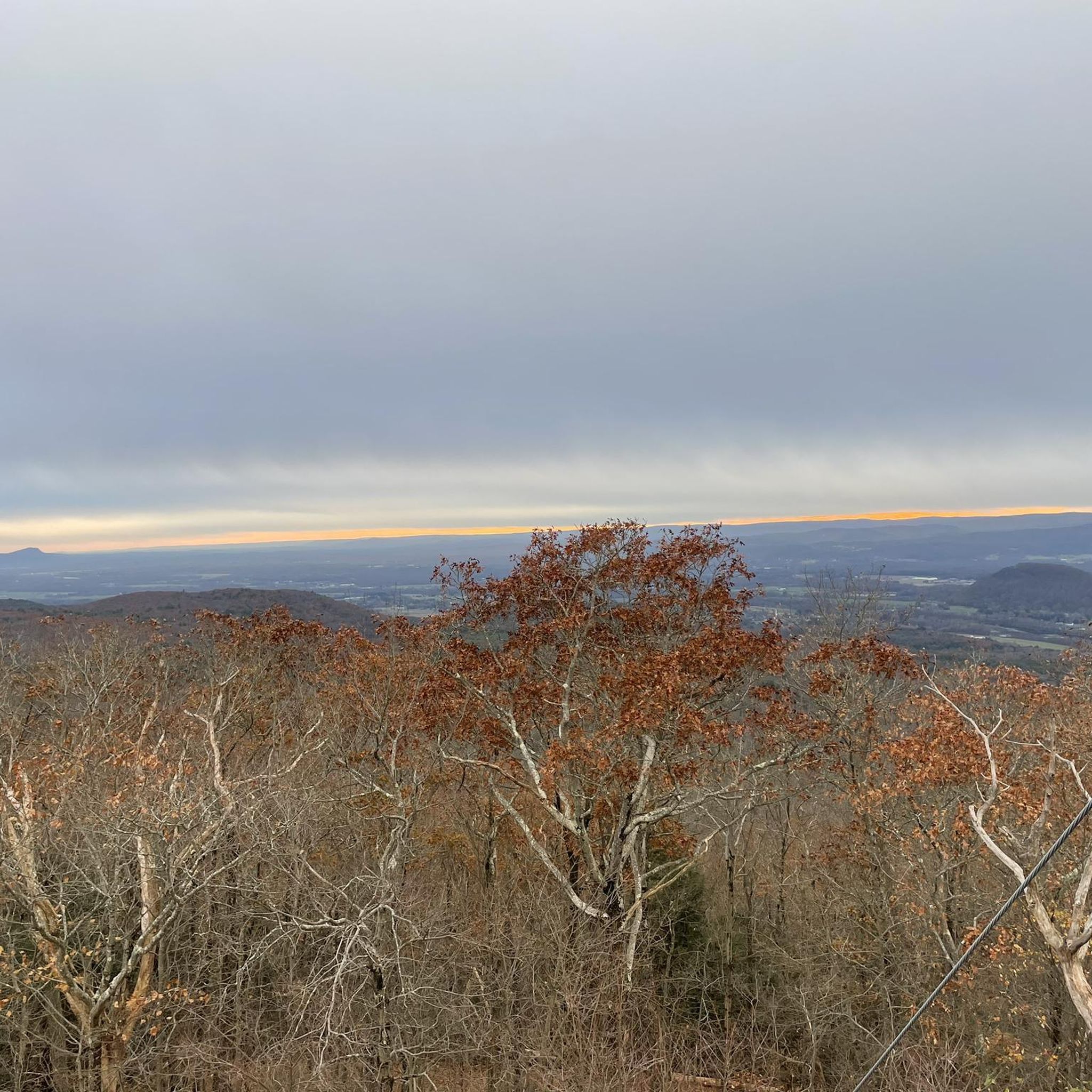
Enjoy a picnic lunch with family and friends under the shade of mature trees, admiring the scenic views of the lake and surrounding hills. Keep your eyes peeled for diverse bird species, including eagles, hawks, and songbirds, making the park a paradise for birdwatchers.
0
0

Better than those prefab tool kiosks👍🏼
0
0
Frequently Asked Questions
How many road cycling routes are available in Mount Toby State Forest?
Mount Toby State Forest offers a diverse network of over 40 road cycling routes. These routes cater to various skill levels, with options ranging from easy to difficult, traversing rolling hills, wooded forests, and scenic views of the Connecticut River Valley.
What kind of terrain and elevation can I expect on road cycling routes in Mount Toby State Forest?
Road cycling in Mount Toby State Forest features a diverse landscape with rolling hills and wooded forests. While many routes are paved, some may include unpaved sections. You can expect varied elevation profiles, with some routes involving significant climbs, offering a good challenge for cyclists.
Are there any family-friendly road cycling routes in Mount Toby State Forest?
Yes, Mount Toby State Forest offers routes suitable for families, particularly those looking for less strenuous options. While specific 'family-friendly' routes are not explicitly detailed, the forest has a range of easy and moderate trails. For instance, routes like the Norwottuck Rail Trail Bridge loop from Sunderland Fish Hatchery, with its lower elevation gain, could be a good starting point for families.
What natural landmarks or viewpoints can I see along the road cycling routes?
Many road cycling routes in Mount Toby State Forest offer stunning views and pass by notable natural features. You can enjoy scenic vistas of the Connecticut River Valley, especially on routes like the Whitmore Pond Waterfall – View of the Connecticut River loop from Mount Sugarloaf State Reservation. The area also features glacial kettle ponds like Cranberry Pond and Leverett Pond, which are often visible from nearby routes.
Are there any circular road cycling routes in Mount Toby State Forest?
Yes, many of the road cycling routes in Mount Toby State Forest are designed as loops, allowing you to start and end at the same point. Examples include the View of Leverett Pond – Lake Wyola Dam loop from Sawmill River Access and the Lake Wyola Dam – Lake Wyola loop from North Amherst, which offer comprehensive tours of their respective areas.
What is the best time of year to go road cycling in Mount Toby State Forest?
The best time for road cycling in Mount Toby State Forest is generally during the spring, summer, and fall months. Spring offers lush greenery and impressive waterfalls after rainfall, while autumn provides spectacular fall foliage. Summers are also pleasant, but it's always advisable to check local weather conditions before heading out.
Are there any waterfalls accessible or visible from road cycling routes?
While some waterfalls like Roaring Falls and Gunn Brook Falls are within Mount Toby State Forest, they are primarily accessed via hiking trails. However, routes such as the Whitmore Pond Waterfall – View of the Connecticut River loop from Mount Sugarloaf State Reservation may offer glimpses or proximity to water features, especially after heavy rainfall when they are most impressive.
What do other road cyclists enjoy most about the routes in Mount Toby State Forest?
The road cycling routes in Mount Toby State Forest are highly rated by the komoot community, with an average score of 4.3 stars from over 5 reviews. Cyclists often praise the diverse terrain, the scenic views of the Connecticut River Valley, and the opportunity to explore historic areas and natural features like ponds and woodlands.
Are there options for beginner road cyclists in Mount Toby State Forest?
Yes, Mount Toby State Forest offers routes suitable for beginner road cyclists. While some routes feature significant elevation, there are also easier options available. It's recommended to check the difficulty grade and elevation profile of specific routes on komoot to find one that matches your comfort level.
Where can I find parking for road cycling in Mount Toby State Forest?
Parking for road cycling in Mount Toby State Forest is available at various access points. While specific parking lots for each route are not listed here, common starting points for routes often have designated parking areas. For example, the Norwottuck Rail Trail Bridge loop starts near the Sunderland Fish Hatchery, which typically offers parking.
Can I find cafes or places to eat near the road cycling routes?
While the immediate forest area is primarily natural, the surrounding towns and villages near Mount Toby State Forest, such as Sunderland, Leverett, and North Amherst, offer various cafes, pubs, and dining options. Cyclists often plan their routes to pass through or near these communities for refreshment stops.
What kind of wildlife might I encounter while cycling?
Mount Toby State Forest is known for its biodiversity. While cycling, you might encounter various wildlife, including deer, turkey, and a wide array of bird species. The forest is also home to rare plants, reptiles, and amphibians, so keeping an eye out for these natural inhabitants adds to the experience.
Most popular routes in Mount Toby State Forest

Get inspired with the komoot mobile app


Explore more
Browse the best Road cycling routes in other regions.
