The best road cycling routes in Belknap Mountain State Forest
4.0
(4)
108
riders
32
rides
Road cycling in Belknap Mountain State Forest offers varied terrain across rolling hills and forested slopes within the picturesque Belknap Mountains. The region is characterized by diverse forests and features like Belknap Mountain, providing panoramic views. Proximity to Lake Winnipesaukee means many routes incorporate scenic lake vistas, contributing to a landscape ideal for road cycling. The area presents an undulating topography with options for different elevation profiles.
Best road cycling routes in Belknap Mountain State Forest
- The most popular road…
Last updated: May 28, 2026
6
riders
73.1km
03:55
1,200m
1,200m
Hard road ride. Very good fitness required. Some segments of this route may be unpaved and difficult to ride.
3
riders
20.3km
00:57
140m
140m
Cycle the easy 12.6-mile Governor’s Island loop in Gilford, New Hampshire, a quiet road ride with 466 feet of elevation gain.

Sign up for free
4
riders
38.8km
02:10
480m
480m
Moderate road ride. Good fitness required. Mostly well-paved surfaces and easy to ride.
3
riders
56.4km
02:51
700m
700m
Moderate road ride. Good fitness required. Some segments of this route may be unpaved and difficult to ride.
2
riders
62.2km
03:00
820m
810m
Moderate road ride. Good fitness required. Some segments of this route may be unpaved and difficult to ride.
Get access to more routes and recommendations from other explorers.
Sign up for free
Already have an account?
Our route recommendations are based on thousands of hikes, rides, and runs completed by other people on komoot.
Start today with a free account
Your next adventure awaits.
Login or Signup
Popular around Belknap Mountain State Forest
Tips from the Community

It is recommended to hike the trail clockwise. This way, you can enjoy some panoramic views in the direction you are walking on the descent.
1
0

This is a great trailhead that fills up very quickly during the high season. From here you can hike Mount Major via trails of varying difficulty levels, and the trail system extends all the way to Gilford over the mountains should you choose to go farther. There are portable restrooms at the trailhead.
1
0

This part of Upper City Road is a scenic stretch, where you'll find hardly any traffic and lots of trees lining the road. It's a perfect spot for a relaxing bike cruise through New Hampshire's countryside, passing by many farms along the way.
0
0

You can park here in the Wood Road Parking Lot or at the gravel parking lot and trailhead at the end of the road. The trail from here follows Poorfarm Brook a short ways through the woods before merging with the other trailhead.
0
0
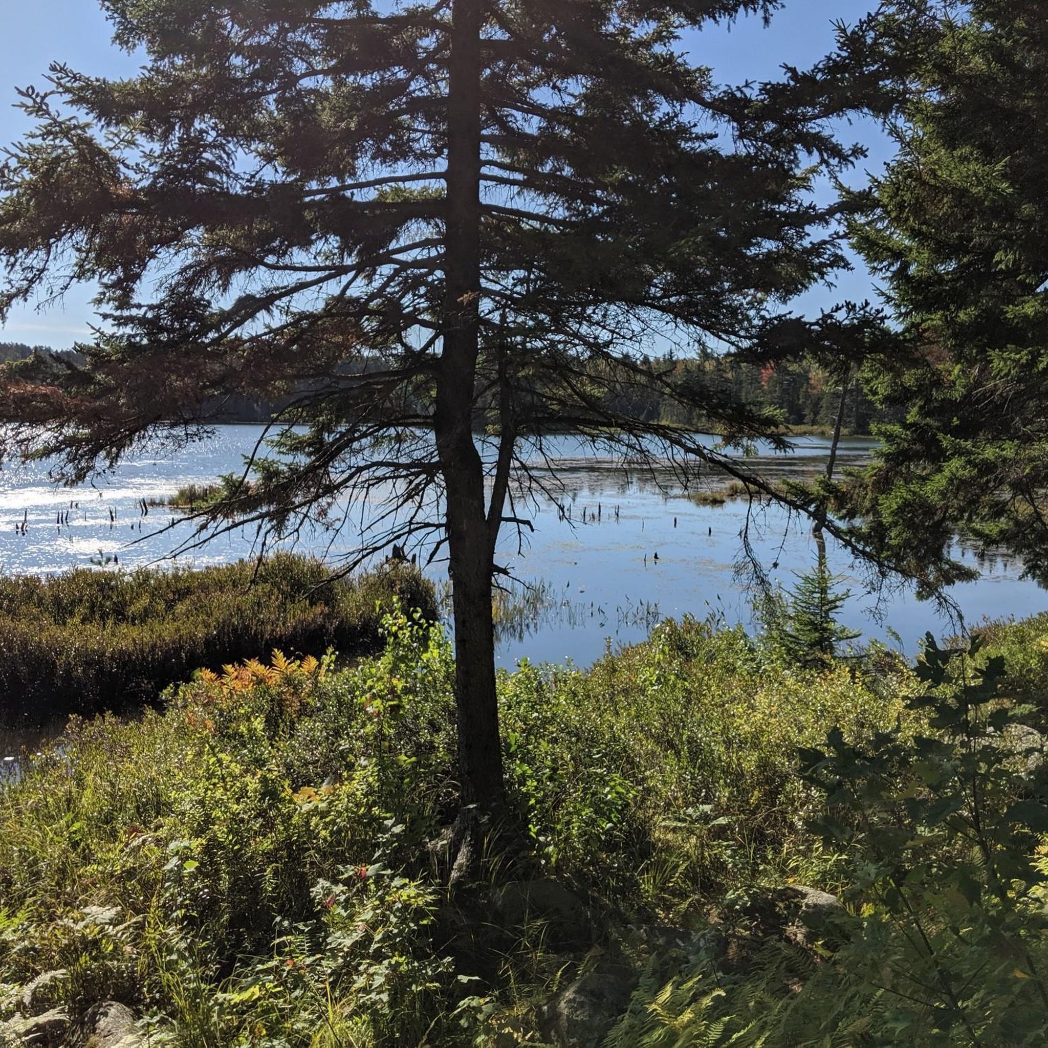
You can park in the main parking lot off Panorama Drive just south of the lake. If you hike back north along Panorama Drive for 300 ft or so you can avoid the road and follow the lakeside trail to the trails. The Brook trail is also near the parking area by the ski lift.
0
0

Small beach town on Lake Winnipesaukee with a boardwalk, restrooms, food options, etc. Nice views riding through here over Meredith Bay.
0
0
Small island in Lake Winnipesaukee — most of the land (and therefore, the views) are private, but it's quiet and pleasant and mostly wooded, with a lovely loop of approximately 4 miles. The island is connected to Route 118 / Endicott Street but a simple bridge.
0
0
Frequently Asked Questions
What kind of terrain can I expect when road cycling in Belknap Mountain State Forest?
Road cycling in the Belknap Mountain State Forest area features a diverse landscape of rolling hills and forested slopes. You'll encounter varied elevation profiles, from gentle sections to significant climbs, offering a good mix for different fitness levels. The region is characterized by northern hardwood-conifer forests, providing beautiful scenery throughout the seasons.
Are there routes suitable for beginners or families in Belknap Mountain State Forest?
Yes, there are options for all skill levels. For an easier ride with scenic views, often incorporating glimpses of Lake Winnipesaukee, consider the Governor’s Island loop. This route is 12.6 miles (20.3 km) long and is rated as easy, making it suitable for those looking for a less challenging experience.
What are the best times of year for road cycling in Belknap Mountain State Forest?
The diverse forests, featuring a mix of eastern hemlock, balsam fir, white pine, American beech, yellow birch, and sugar maple, offer beautiful scenery throughout the seasons. Spring and fall are particularly popular for their mild temperatures and vibrant foliage, while summer provides warmer weather for longer rides. Always check local conditions before heading out.
Can I find routes with significant elevation gain for a challenging ride?
Absolutely. The Belknap Mountains offer an undulating topography with challenging ascents. For a difficult route with significant elevation gain, consider the Belknap Mountain Trailhead loop from Mount Rowe. This 44.8-mile (72.0 km) route features over 1,100 meters of elevation gain, catering to experienced cyclists seeking a demanding ride.
Are there any scenic viewpoints or natural attractions along the road cycling routes?
Many routes in the broader Belknap County offer stunning views, especially of Lake Winnipesaukee. The region is known for its panoramic vistas. While specific road cycling routes may not go directly through the state forest's hiking trails, you can often find scenic overlooks and natural features like Round Pond in the vicinity, which lies at the foot of Mount Klem.
How many road cycling routes are available in the Belknap Mountain State Forest area?
There are over 25 road cycling routes available in the Belknap Mountain State Forest area, offering a wide range of distances and difficulty levels. These routes have been explored by more than 70 road cyclists using komoot, showcasing the region's varied terrain.
Are there any loop routes for road cycling in the area?
Yes, many of the road cycling routes in the Belknap Mountain State Forest area are designed as loops, allowing you to start and end at the same point. Examples include the Governor’s Island loop and the Lake Winnisquam Scenic Trail – WOW Trail (Winnisquam segment) loop from Lakeport, which provide circular journeys through diverse landscapes.
What do other road cyclists enjoy most about cycling in Belknap Mountain State Forest?
Road cyclists frequently praise the diverse terrain, which includes rolling hills and forested slopes, and the stunning scenic views, particularly those overlooking Lake Winnipesaukee. The variety of routes, from easy to very challenging, is also a highlight, allowing cyclists of all abilities to find suitable rides.
Are there any moderate difficulty road cycling routes?
Yes, the majority of routes in the area are of moderate difficulty. For example, the Lake Winnisquam Scenic Trail – WOW Trail (Winnisquam segment) loop from Lakeport is a 24.9-mile (40.0 km) route that offers varied landscapes and is typically completed in under two hours, making it a great moderate option.
What kind of road surfaces can I expect on these routes?
The road cycling routes primarily utilize well-paved surfaces, especially those offering scenic views around Lake Winnipesaukee and connecting various towns. While the State Forest itself has some unpaved sections more suited for hiking or mountain biking, the designated road cycling routes focus on suitable paved roads for a smooth experience.
Is parking available near the road cycling routes?
While specific parking details vary by route, many popular road cycling routes in the Belknap Mountain State Forest area and surrounding Belknap County have designated parking areas at trailheads or nearby public spaces. It's advisable to check the starting point of your chosen route for specific parking information.
Are there any other notable routes besides the most popular ones?
Beyond the most popular choices, you can explore routes like the Mount Major Trailhead loop from Carye Family Woods, a moderate 45.9-mile route with over 500 meters of elevation gain. Another option is the Governor’s Island – Weir’s Beach loop from Avis P. Smart Woods, a 38.7-mile moderate ride.
Most popular routes in Belknap Mountain State Forest
Most popular attractions in Belknap Mountain State Forest

Get inspired with the komoot mobile app


Explore more
Browse the best Road cycling routes in other regions.
