Mattatuck State Forest
Mattatuck State Forest
The best road cycling routes in Mattatuck State Forest
4.7
(3)
114
riders
37
rides
Road cycling in Mattatuck State Forest offers routes through a diverse landscape of rolling hills, dense woodlands, and tranquil meadows. The area is characterized by varied elevation gains, providing engaging rides across its mostly paved roads. Cyclists can expect routes that navigate through the forest's parcels and surrounding towns, integrating natural beauty with accessible paths. The terrain includes moderate climbs and some more challenging ascents, suitable for different fitness levels.
Best road cycling routes in Mattatuck State Forest
- The most…
Last updated: June 29, 2026
3
riders
39.5km
02:00
540m
540m
Moderate road ride. Good fitness required. Mostly well-paved surfaces and easy to ride.
3
riders
46.4km
02:17
620m
620m
Moderate road ride. Good fitness required. Mostly well-paved surfaces and easy to ride.

Sign up for free
4
riders
Moderate road ride. Good fitness required. Mostly well-paved surfaces and easy to ride.
3
riders
47.8km
02:20
570m
570m
Moderate road ride. Good fitness required. Some segments of this route may be unpaved and difficult to ride.
2
riders
42.4km
02:08
560m
560m
Moderate road ride. Good fitness required. Mostly well-paved surfaces and easy to ride.
Get access to more routes and recommendations from other explorers.
Sign up for free
Already have an account?
Our route recommendations are based on thousands of hikes, rides, and runs completed by other people on komoot.
Start today with a free account
Your next adventure awaits.
Login or Signup
Popular around Mattatuck State Forest



Tips from the Community

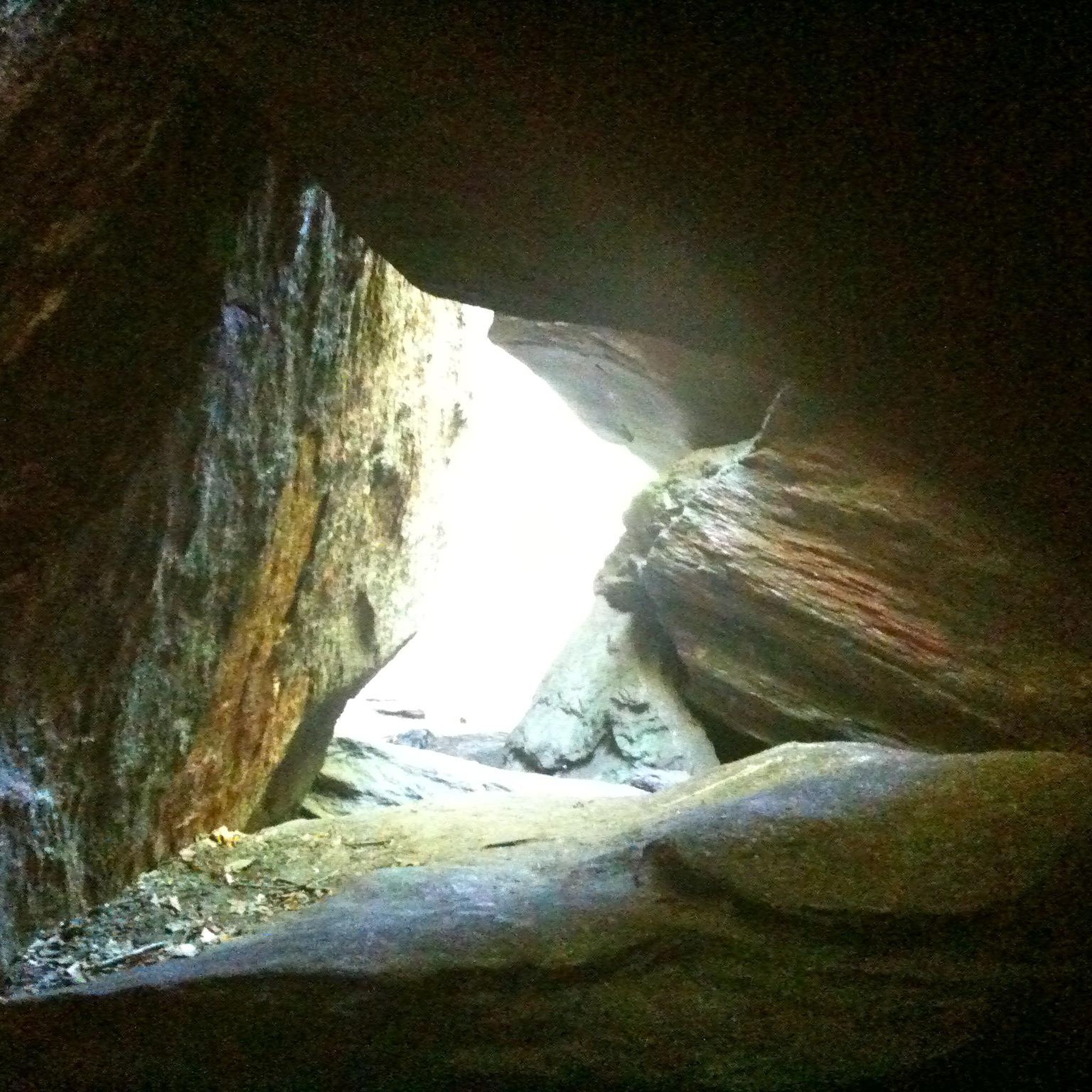
This section of the Middlebury Greenway near Chase Road is an especially scenic bit of riding on this popular, paved multi-use path. You ride on the raised trail above a pretty stream, then pass through an interesting rock notch east of Chase Road. This is a great bit of riding that is also away from cars.
1
0
Sherman Hill is a 604-foot hill on Old Sherman Hill Road in Woodbury. This is a nice little climb in a quiet residential area surrounded by forest and old stone walls.
0
0
Jones Pond is a small pond just off of Lakeside Road. This is a pretty place to slow down a little and look out over the water.
1
0

The Wigwam Brook Audubon Wildlife Sanctuary follows along Connecticut's picturesque Route 254. The landscape was made with both human help and natural forces. Former farmlands are now open fields. An old Christmas tree farm became was reclaimed by nature and is now a bird haven.
0
0

Schermerhorn Hill is a 1,035 foot hill nestled in the trees of the White Memorial forest. In summertime it can be hard to see the hill from the road due to the lush foliage of the roadside trees. During the fall the road is great for those who love the colors of the changing leaves.
0
0

Engleke Pond is a small pond surrounded by reeds that can be seen from Rowley Road and Middle Road Turnpike. This pond is located on private property.
0
0

From 1903 to 1942, the site served as the rural campus of Columbia University's Engineering Department. Imagine students learning surveying, mining, and other practical skills amidst the serene Connecticut countryside.
0
0
Frequently Asked Questions
How many road cycling routes are available in the Mattatuck State Forest area?
There are over 35 road cycling routes available in and around Mattatuck State Forest. These routes offer a diverse range of experiences, from moderate climbs to more challenging ascents, catering to various fitness levels.
What is the typical difficulty level and elevation gain for road cycling routes in Mattatuck State Forest?
The road cycling routes in Mattatuck State Forest are predominantly moderate, with 29 out of 35 routes falling into this category. There are also 6 difficult routes for more experienced cyclists. Elevation gains vary, with moderate routes like the French Mountain – Bald Hill loop from Mattatuck State Forest featuring around 540 meters of ascent over 40 km, while others can exceed 600 meters.
Are there any notable landmarks or scenic viewpoints to see while road cycling in the Mattatuck State Forest area?
Yes, the Mattatuck State Forest area offers several scenic points. You might encounter views of the spectacular terraced Buttermilk Falls, or enjoy breathtaking vistas ascending along the western ridges of the Waterbury Reservoirs. Other popular spots like "Whiterock" and "Greystone" offer expansive views, and the routes often provide a woodland aesthetic along the Naugatuck River.
Where can I find parking for road cycling routes near Mattatuck State Forest?
Parking is generally available in the towns encompassing the forest, such as Watertown, Thomaston, and Wolcott, which serve as starting points for many routes. For example, the Black Rock State Park loop from Watertown suggests parking in or near Watertown, and Black Rock State Park itself can be a convenient access point for some routes.
What is the best time of year to go road cycling in Mattatuck State Forest?
The diverse landscape of Mattatuck State Forest, with its rolling hills, dense woodlands, and tranquil meadows, makes it picturesque throughout much of the year. Spring and fall generally offer the most comfortable temperatures and vibrant scenery, with autumn foliage being particularly stunning. Summer can also be enjoyable, though it's advisable to ride earlier in the day to avoid peak heat.
Are there family-friendly road cycling routes in the Mattatuck State Forest area?
While many routes are moderate, the region does offer easier options suitable for various fitness levels. For instance, the Black Rock State Park loop from Watertown is a moderate route that is shorter at just under 20 km, making it a good option for families looking for a less strenuous ride. Always check the route details for specific distance and elevation to ensure it matches your family's capabilities.
What do other road cyclists enjoy most about road cycling in Mattatuck State Forest?
The Mattatuck State Forest area is highly rated by the komoot community, with an average score of 4.0 stars from over 3 reviews. Cyclists often praise the varied terrain, which includes a mix of rolling hills and wooded sections, providing scenic views and engaging rides across its mostly paved roads. The integration of natural beauty with accessible paths is a recurring highlight.
Are there any long-distance road cycling routes for experienced riders?
Yes, for experienced riders seeking longer distances, routes like the East Chestnut Hill – Milton Hill loop from Boyd Woods Audubon Sanctuary cover approximately 50 km with over 600 meters of elevation gain, leading through dense woodlands and open areas. Another option is the Camp Hill – Schermerhorn Hill loop from Mattatuck State Forest, which is nearly 46.4 km with similar elevation.
Are dogs allowed on road cycling routes in Mattatuck State Forest?
While Mattatuck State Forest is generally welcoming to visitors, specific regulations regarding dogs on road cycling routes are not explicitly detailed. It's always best to keep dogs on a leash and ensure they are well-behaved, especially on public roads shared with vehicles and other users. For detailed rules, it's recommended to check the official Connecticut DEEP website for Mattatuck State Forest: ct.gov/DEEP.
Are the road cycling routes entirely paved, or do they include unpaved sections?
The road cycling routes in the Mattatuck State Forest area are described as "mostly paved." While they primarily utilize public roads, it's important to note that some segments on these routes might be unpaved and could present a challenge, especially for road bikes with narrow tires. Always review route details and be prepared for varied surfaces.
Can I find cafes or places to stop for refreshments near the road cycling routes?
The road cycling routes often pass through or near towns such as Watertown, Thomaston, and Wolcott. These towns typically offer local cafes, diners, or small shops where you can stop for refreshments, grab a snack, or refill water bottles. Planning your route with these towns in mind can help ensure convenient stops.
Are there any permits or fees required to road cycle in Mattatuck State Forest?
Based on available information, there are no specific permits or fees required for road cycling on the public roads that traverse the Mattatuck State Forest area. However, it's always a good practice to respect local regulations and private property. For any specific concerns, you can consult the official state forest information.
Most popular routes in Mattatuck State Forest

Get inspired with the komoot mobile app


Explore more
Browse the best Road cycling routes in other regions.
