The best running trails in Tunxis State Forest
46
runners
4
runs
Jogging in Tunxis State Forest offers a diverse range of trails across more than 5,000 acres of woodlands, river floodplains, and significant rock formations. The region is characterized by its extensive Blue-Blazed Tunxis Trail system, which spans 79 miles (127 km) and includes varied terrain from gentle paths to more challenging sections with doubletrack and singletrack. Runners can explore dense woodlands, tranquil water features like ponds and streams, and notable rock formations. The varied landscape provides options for different fitness…
Last updated: May 15, 2026
12
runners
22.1km
02:19
170m
180m
Hard run. Very good fitness required. Mostly paved surfaces. Suitable for all skill levels.
7
runners
14.7km
01:50
200m
200m
Moderate run. Good fitness required. Mostly paved surfaces. Suitable for all skill levels.

Sign up for free
11
runners
24.0km
02:39
290m
290m
Hard run. Very good fitness required. Mostly paved surfaces. Suitable for all skill levels.
4
runners
10.6km
01:24
290m
290m
Moderate run. Good fitness required. Mostly paved surfaces. Suitable for all skill levels.
5
runners
16.6km
01:43
50m
50m
Jog the Farmington Canal Heritage Trail, a difficult 10.3-mile route with 178 feet of elevation gain, offering varied scenery and history.
Our route recommendations are based on thousands of hikes, rides, and runs completed by other people on komoot.
Start today with a free account
Your next adventure awaits.
Login or Signup
Popular around Tunxis State Forest

Tips from the Community

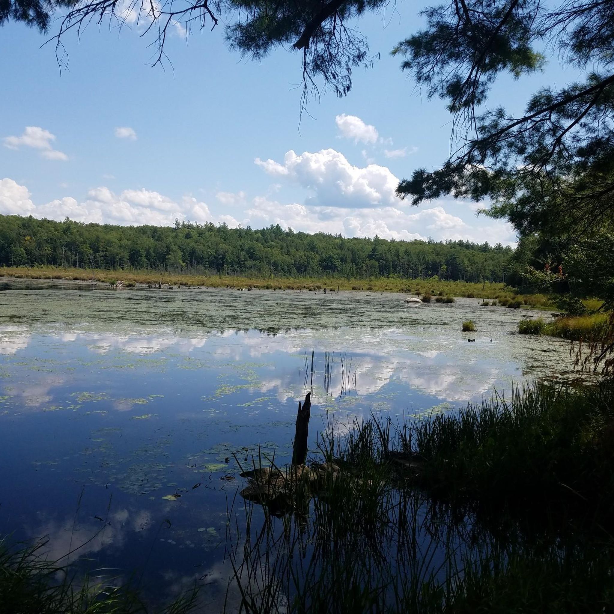
The McLean Game Refuge is home to hundreds of animal species, including mammals like white-tailed deer, foxes, and bobcats. Birdwatchers flock to the refuge to spot over 150 species of birds, including bald eagles, pileated woodpeckers, and blue herons.
0
0

Dedicated in October 1924, this 3,059-acre forested area is a very popular destination for various outdoor activities including canoeing, kayaking, cross-country skiing, field sports, fishing, biking, and hiking.
1
0

New Haven and Northampton Canal Greenway is an 84-mile trail from New Haven, CT to Northampton, MA. The trail is completely paved and mostly on off-road paths. There are some points where the trail briefly joins up with quiet roads.
0
0
Frequently Asked Questions
What kind of terrain can I expect on the running routes in Tunxis State Forest?
Tunxis State Forest offers a diverse range of terrain, from gentle, easily accessible paths to more challenging, technical sections. You'll find a mix of doubletrack, singletrack, and woodland paths, as well as sections that follow old wood and fire roads. The Blue-Blazed Tunxis Trail system, which spans 79 miles, provides varied options for all fitness levels.
Are there running routes suitable for beginners or those looking for an easier jog?
While some parts of the Tunxis Trail are rugged, the system also offers less strenuous sections, making it accessible for casual jogs. The relative ease of elevation change in certain areas makes it a good 'starter trail' for those new to trail running. For example, the McLean Game Refuge – Stony Hill loop from West Granby Historic District is a moderate 9.1-mile path that offers a mix of woodland scenery.
What natural features or landmarks can I see while running in Tunxis State Forest?
The forest is rich in natural beauty. You can enjoy tranquil water features like ponds, streams, and the impressive Barkhamsted and Nepaug Reservoirs. There are also significant rock formations and overlooks such as Julian's Rock and Norton Outlook, offering panoramic vistas. Pine Mountain provides 180-degree views, ideal for hawk-watching.
Are there any historical sites to discover along the running trails?
Yes, runners can encounter historical elements scattered throughout the forest. These include the historic Tory Den and remnants of 19th-century charcoal production, adding an intriguing layer to your outdoor adventure.
When is the best time of year to run in Tunxis State Forest?
Tunxis State Forest is beautiful year-round. The dense woodlands provide shade during warmer months, which is welcome for summer runs. In autumn, the oak, maple, and birch trees transform the landscape into a vibrant tapestry of reds, oranges, and yellows, making it a particularly scenic time for a jog.
Can I run with my dog in Tunxis State Forest?
Tunxis State Forest is generally dog-friendly, allowing you to enjoy the trails with your canine companion. Always ensure your dog is under control, and be mindful of other trail users and local regulations regarding leashes and waste disposal.
Are there any loop running routes in the forest?
Yes, the extensive trail system in Tunxis State Forest provides many opportunities for various loop runs. A popular option is the Bunnells Pond – Miller Pond loop from American Legion State Forest, a challenging 14.9-mile route that takes you through diverse woodland terrain.
How many running routes are available in Tunxis State Forest?
Komoot features several highly-rated running routes in Tunxis State Forest, showcasing the best of the region's landscape. These include options for various distances and difficulty levels, from moderate to difficult.
What should I be aware of regarding safety while running in Tunxis State Forest?
While enjoying the trails, it's important to be aware that hunting is permitted in state forests intersected by the Tunxis Trail. During hunting season, it is advised to use caution and wear bright orange clothing for visibility.
Are there any longer, more challenging running routes for experienced trail runners?
Absolutely. For those seeking a more intense trail run, Tunxis State Forest offers challenging sections and longer routes. The Bunnells Pond – Miller Pond loop from Charlie Arnold Property is a difficult 13.7-mile trail that traverses varied woodland terrain and passes by water features, perfect for experienced runners.
Can I connect to other trail systems from Tunxis State Forest?
Yes, the Tunxis Trail system offers the ability to connect to other trail networks, such as those in Sessions Woods Wildlife Management Area and Nassahegon State Forest. This expands your options for longer runs and exploring adjacent natural areas.
Most popular routes in Tunxis State Forest

Get inspired with the komoot mobile app


Explore more
Browse the best Running Trails & Routes in other regions.
