The best road cycling routes in Cerro De Los Ciervos
4.8
(8)
211
riders
8
rides
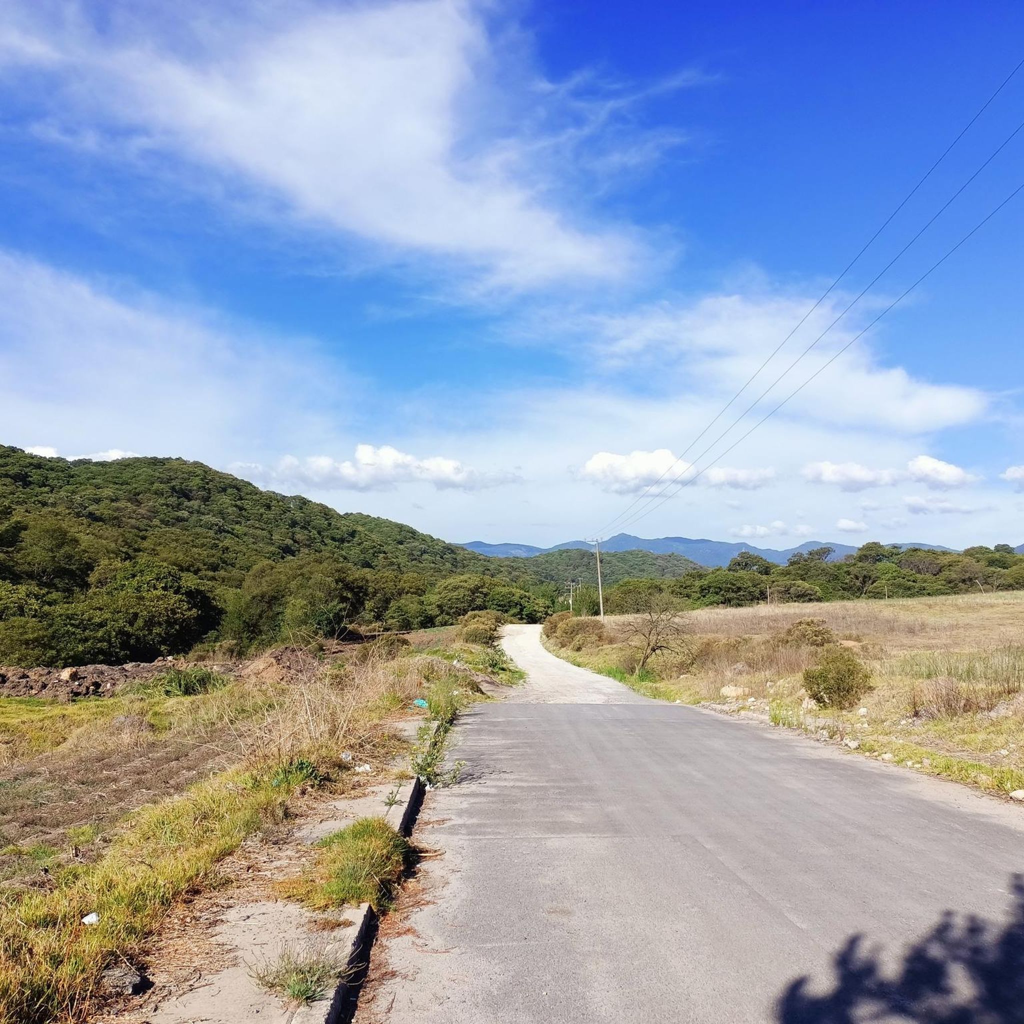
Road cycling routes in Cerro De Los Ciervos traverse a landscape characterized by forested areas and varied terrain, offering routes with significant elevation gains. The region, located near Atizapán De Zaragoza, features a mix of challenging climbs and scenic loops around natural landmarks. Road cyclists can expect routes that navigate through hills and provide opportunities for long-distance rides.
Best road cycling routes in Cerro De Los Ciervos
- The most popular road cycling route is Iturbide Dam – Valle de las…
Last updated: July 3, 2026
177
riders
61.4km
03:28
1,360m
1,360m
Hard road ride. Very good fitness required. Mostly well-paved surfaces and easy to ride.
4
riders
62.1km
03:19
1,160m
1,160m
Hard road ride. Very good fitness required. Mostly well-paved surfaces and easy to ride.

Sign up for free
4.8
(8)
10
riders
Moderate road ride. Good fitness required. Mostly well-paved surfaces and easy to ride.
5
riders
Hard road ride. Very good fitness required. Mostly well-paved surfaces and easy to ride.
9
riders
55.8km
03:11
1,310m
1,310m
Hard road ride. Very good fitness required. Mostly well-paved surfaces and easy to ride.
Get access to more routes and recommendations from other explorers.
Sign up for free
Already have an account?
Our route recommendations are based on thousands of hikes, rides, and runs completed by other people on komoot.
Start today with a free account
Your next adventure awaits.
Login or Signup
Popular around Cerro De Los Ciervos

Tips from the Community

There's a of people running so be careful and don't go too fast if there are many pedestrians.
0
0

Careful, there are many people running/walking on the bike path.
0
0
Bike path on linear park from Satelite (circuito Juristas), crossing under the highway (periferico), all the way to Gustavo Baz (about 2 km). It also connects to a bikepath along Paseo de Echegaray that goes back almost to parque Naucalli. There are many people running/walking on the bike path.
1
0

Going up towards the CCO or Jiquipilco you will find this accumulation of water of dark blue color and greenish tones that can be seen among the trees of the wooded road full of green mountains, cold wind and the sounds of nature, of course cars pass by on the road but it is the least of it if you look at how beautiful the place is. Enjoy the trip!
2
0
The Valley of the Pigeons where there are no pigeons, only Cows! Obliged to reach the Otomí Ceremonial Center (CCO) or Jiquipilco. Be prepared for the wind either head or cross. There are almost always puddles of water and it is usually cold. Surrounded by green mountains, an area to eat and rest to continue with the descent or the return. Enjoy your way.
1
0

After a strenuous effort going up to this place, you will find a beautiful and wide valley with cows and horses grazing on both sides of the road. During the weekend, and depending on the time you arrive here, you will see people doing different activities, from enjoying a picnic, tasting delicious quesadillas, groups of cyclists recovering energy and sometimes (unfortunately) fans to cars and motorcycles breaking the peace with their noisy engines. When they are not there, all is peace and the air is quite fresh and pure. One thing that surprises me every time I come to this place is to approach the ponds that are on both sides of the road and hear millions of frogs croaking in chorus. Sound simply grabs you and invites you to enjoy it.
0
0
Places to enjoy the local gastronomic delights you will find many along the way. However, in my opinion, this post is the best I've had on this tour. My recommendation: some huitlacoche quesadillas with a natural pulque. You will surely regain strength to continue on your way.
0
0
After a strenuous effort going up to this place, you will find a beautiful and wide valley with cows and horses grazing on both sides of the road. During the weekend, and depending on the time you arrive here, you will see people doing different activities, from enjoying a picnic, tasting delicious quesadillas, groups of cyclists recovering energy and sometimes (unfortunately) fans to cars and motorcycles breaking the peace with their noisy engines. When they are not there, all is peace and the air is quite fresh and pure. One thing that surprises me every time I come to this place is to approach the ponds that are on both sides of the road and hear millions of frogs croaking in chorus. Sound simply grabs you and invites you to enjoy it.
0
0
Frequently Asked Questions
What types of terrain can I expect on road cycling routes in Cerro De Los Ciervos?
Road cycling routes in Cerro De Los Ciervos are characterized by forested areas and varied terrain, including significant elevation gains. You'll find a mix of challenging climbs and scenic loops around natural landmarks, often navigating through hills.
Are there road cycling routes suitable for beginners in Cerro De Los Ciervos?
Yes, while many routes feature substantial elevation, there is at least one easy route available. For a moderate option that transitions between urban and natural settings, consider the Paseo de las Marinas Bike Path – Good slope for training loop from Ciudad Satélite, which is 19.9 miles (32.0 km) long.
Where can I find challenging long-distance road cycling routes in Cerro De Los Ciervos?
For advanced cyclists seeking long-distance challenges, Cerro De Los Ciervos offers several options. The Iturbide Dam – Valle de las Palomas loop from Camellón is a difficult 38.1 miles (61.4 km) route with substantial elevation. Another challenging option is the Laguna El Gavillero loop from Atizapán de Zaragoza, a 38.6 miles (62.1 km) path known for its climbs and descents.
Are there any loop road cycling routes in Cerro De Los Ciervos?
Many of the road cycling routes in Cerro De Los Ciervos are designed as loops, offering a convenient way to start and end your ride at the same point. Examples include the Iturbide Dam – Valle de las Palomas loop from Sociedad de autoransportistas de San Pedro Villa Nicolas Romero Ruta 10 YR and the Iturbide Dam loop from Nopala.
What is the best season for road cycling in Cerro De Los Ciervos?
Given the region's varied terrain and forested areas, spring and autumn generally offer the most pleasant conditions for road cycling, with milder temperatures and vibrant scenery. Summer can be warm, and winter might bring cooler temperatures, especially at higher elevations.
What do other road cyclists enjoy most about the routes in Cerro De Los Ciervos?
The road cycling routes in Cerro De Los Ciervos are highly rated by the komoot community, with an average score of 4.7 stars. Reviewers often praise the challenging climbs, scenic dam loops, and the diverse elevation profiles that cater to different ability levels.
Are there any family-friendly road cycling options in Cerro De Los Ciervos?
While many routes feature significant elevation, the region does offer options for varying ability levels. For families, it's best to look for the easier routes or those with less elevation gain, focusing on shorter distances. Always check the route's difficulty and elevation profile before heading out.
What are the typical road bike trail conditions in Cerro De Los Ciervos?
The routes generally consist of paved roads suitable for road bikes. However, as the region features varied terrain and forested areas, some sections might have older pavement or be exposed to natural elements. It's always advisable to check recent reviews or local conditions before your ride.
Are there any less crowded road cycling routes in Cerro De Los Ciervos?
While popular routes like the Iturbide Dam loops attract many cyclists, exploring some of the lesser-known or moderate trails might offer a more tranquil experience. Komoot's route planner can help you discover routes that align with your preference for solitude.
How many road cycling routes are available in Cerro De Los Ciervos?
There are approximately 8 road cycling routes available in Cerro De Los Ciervos, offering a range of difficulties from easy to difficult, ensuring options for various skill levels.
Are there any cafes or rest stops along the road cycling routes in Cerro De Los Ciervos?
While specific cafes are not detailed for every route, many routes start or pass through towns like Atizapán de Zaragoza or Ciudad Satélite, where you can typically find amenities, including cafes and shops for refreshments and rest stops. Planning your route with komoot allows you to identify potential stops.
Most popular routes in Cerro De Los Ciervos

Get inspired with the komoot mobile app


