The best road cycling routes around Gößweinstein
4.7
(455)
3,859
riders
40
rides
Road cycling around Gößweinstein offers diverse landscapes within Franconian Switzerland, characterized by rolling hills, deep gorges, and lush valleys such as the Wiesenttal and Pegnitz River valleys. The terrain includes varied gradients, with some routes featuring significant elevation gains and others providing more gentle ascents. This region provides a network of road cycling routes suitable for different fitness levels, set against a backdrop of natural formations and historical sites.
Best road cycling routes around Gößweinstein
- The most popular road cycling route is View of Rabenstein Castle – View of Rabeneck Castle loop from Gößweinstein, a 33.2 miles (53.4 km) moderate trail that takes 2 hours 24 minutes to complete. This route offers scenic views of the surrounding castles.
- Another top favourite among local road cyclists is View of Neideck Castle Ruins – Riese Fountain on the Neubürg loop from Gößweinstein, a difficult 69.1 miles (111.1 km) path. This route features historical sights and challenging terrain with substantial elevation gain.
- Local road cyclists also love the Arnstein Ramp – View of Rabeneck Castle loop from Gößweinstein, a 63.4 miles (102.1 km) trail leading through varied terrain, often completed in about 4 hours 47 minutes.
- Road cycling around Gößweinstein is defined by rolling hills, deep gorges, and lush valleys. The network offers options for different ability levels, from moderate paths to difficult routes with significant climbs.
- The routes in Gößweinstein are highly rated by the komoot community with an average score of 4.9 stars from over 50 reviews. More than 500 road cyclists have used komoot to explore Gößweinstein's varied terrain.
Last updated: September 3, 2026
4.6
(21)
168
riders
Moderate road ride. Good fitness required. Some segments of this route may be unpaved and difficult to ride.
4.4
(5)
66
riders
Hard road ride. Very good fitness required. Mostly well-paved surfaces and easy to ride.

Sign up for free
5.0
(2)
33
riders
Moderate road ride. Good fitness required. Some segments of this route may be unpaved and difficult to ride.
5.0
(1)
27
riders
64.4km
03:05
790m
790m
Moderate road ride. Good fitness required. Mostly well-paved surfaces and easy to ride.
5.0
(3)
16
riders
Moderate road ride. Good fitness required. Mostly well-paved surfaces and easy to ride.
Get access to more routes and recommendations from other explorers.
Sign up for free
Already have an account?
Our route recommendations are based on thousands of hikes, rides, and runs completed by other people on komoot.
Start today with a free account
Your next adventure awaits.
Login or Signup
Popular around Gößweinstein
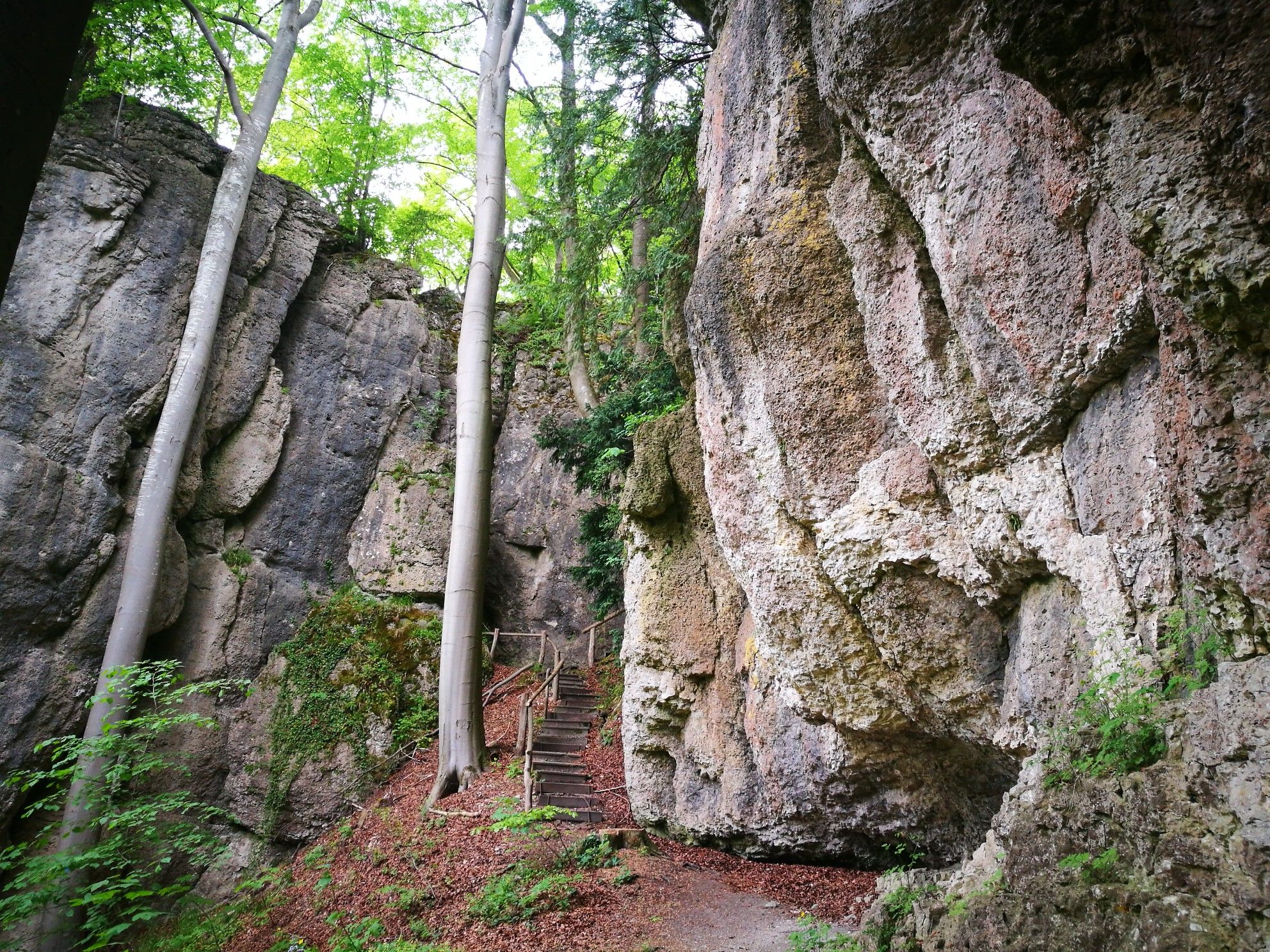
Forests, rocks and castles – 5-day circular through Franconian Switzerland
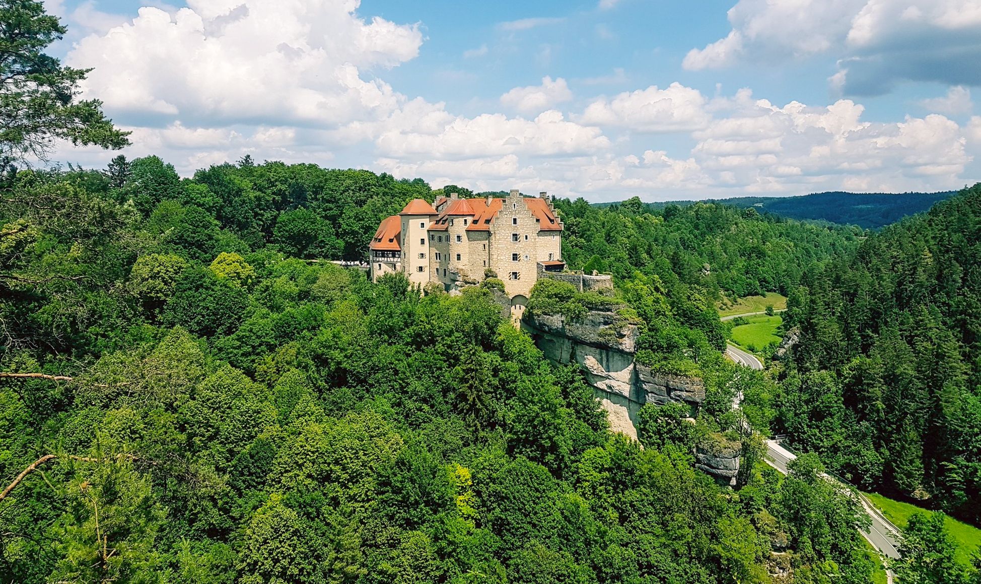
Hikes for tiny boots – VGN recreational activities for families
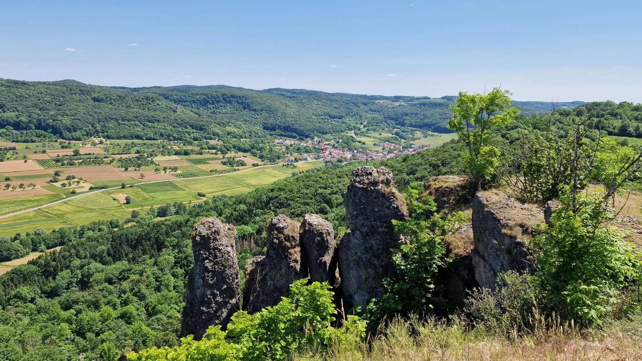
Delightful hiking in Franconian Switzerland
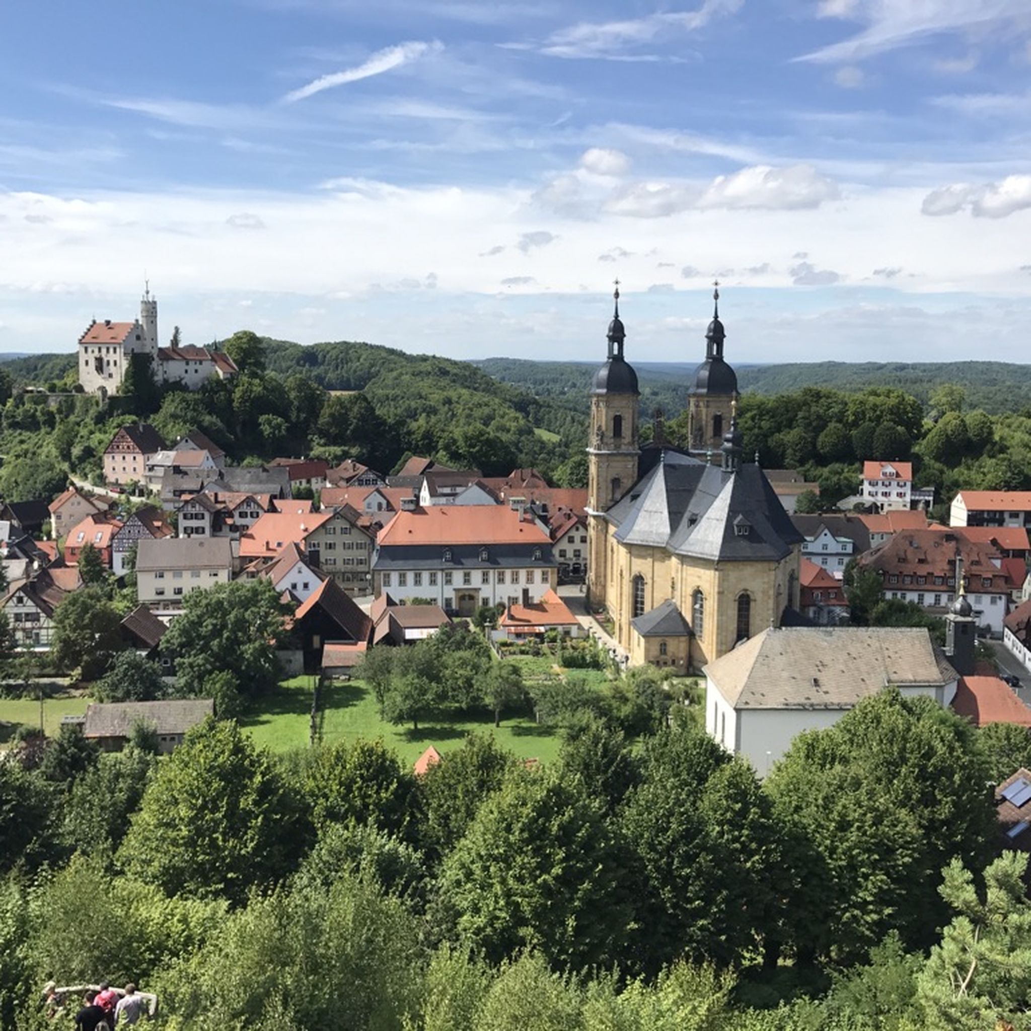
Hiking around Gößweinstein
Cycling around Gößweinstein
MTB Trails around Gößweinstein
Running Trails around Gößweinstein
Gravel biking around Gößweinstein
Mountain Hikes around Gößweinstein
Other adventures around Gößweinstein


Tips from the Community


The marketplace of Waischenfeld, officially named Bischof-Nausea-Platz today, forms the historical and social heart of the state-recognized climatic health resort in the Wiesenttal valley. Characterized by well-preserved Franconian half-timbered houses, the area reflects over 700 years of town history. The square extends across the valley floor directly below the striking Jura cliffs and the medieval Waischenfeld Castle with its famous round tower, the "Steinerner Beutel". As a central hub, it houses important municipal facilities such as the town hall and the tourist information office in the historic Baderhaus, and also serves as a backdrop for traditional markets and town festivals. Furthermore, the square functions as an ideal starting point for the historical city tour and the short panorama trail.
3
0

The cycle path is largely unpaved and difficult to ride. The road is a viable alternative if you want to cover distance. Car traffic is low (Saturday morning).
1
0

Super pleasant ascent from Wiesenttal to Gößweinstein with a road bike
0
0
The Neideck always goes.
0
0

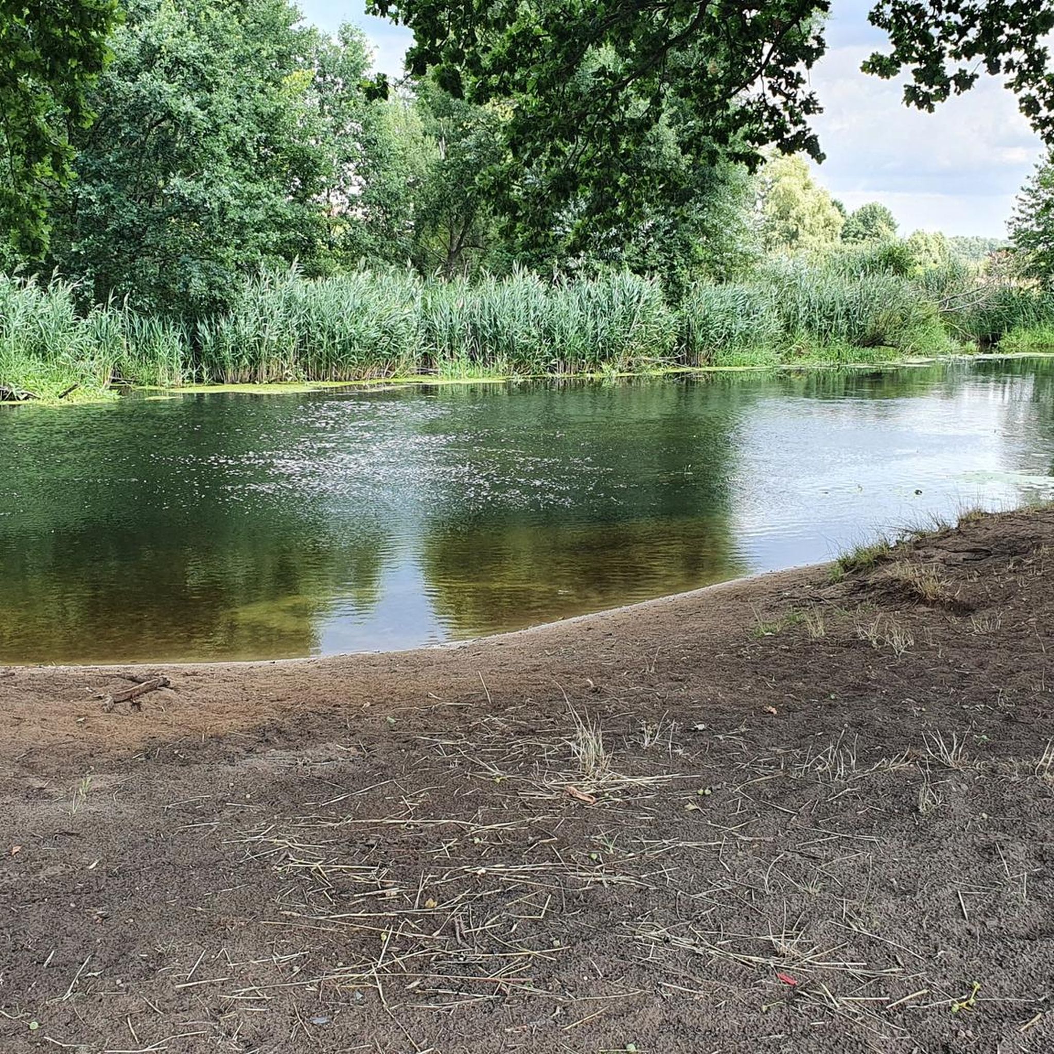
View of the Pegnitz River near Velden
0
0

Great view and beautiful photos. I passed by there on the heritage railway twenty years ago.
1
0
A small romantic town on the Pegnitz
0
0
Frequently Asked Questions
How many road cycling routes are available around Gößweinstein?
The region around Gößweinstein offers a comprehensive network of over 40 road cycling routes. These routes cater to a wide range of fitness levels, from moderate paths to challenging rides with significant elevation gains.
What kind of terrain and difficulty can I expect on road cycling routes in Gößweinstein?
Road cycling around Gößweinstein features diverse terrain, characterized by rolling hills, deep gorges, and lush valleys like the Wiesenttal and Pegnitz River valleys. You'll find routes with varied gradients; some are moderate with gentle ascents, while others are quite demanding, featuring significant elevation gains. For example, the difficult route View of Neideck Castle Ruins – Riese Fountain on the Neubürg loop from Gößweinstein includes over 2,000 meters of ascent.
Are there any easy or beginner-friendly road cycling routes?
Yes, while many routes offer a challenge, there are options suitable for beginners or those seeking a more relaxed ride. Out of the 44 available routes, 5 are classified as easy, and 26 are moderate, providing a good selection for various skill levels. A moderate option is the View of Rabenstein Castle – View of Rabeneck Castle loop from Gößweinstein, which covers 53.4 km with around 500 meters of elevation.
What historical sites or natural landmarks can I see while road cycling?
Many road cycling routes in Gößweinstein pass by significant historical and natural attractions. You can cycle past impressive castles such as Ruins of Neideck Castle, Rabenstein Castle, and Pottenstein Castle. Natural wonders like the Oswald Cave and the Quackenschloss are also accessible near some routes, offering unique sights.
Are there loop routes available for road cyclists?
Yes, many of the road cycling routes around Gößweinstein are designed as loops, allowing you to start and end at the same point. Examples include the challenging Arnstein Ramp – View of Rabeneck Castle loop from Gößweinstein, which is over 100 km long, or the moderate View of Neideck Castle Ruins – View of Neideck Castle Ruins loop from Wichsenstein, a shorter 38.8 km option.
What do other road cyclists enjoy most about road cycling in Gößweinstein?
The road cycling routes in Gößweinstein are highly rated by the komoot community, with an average score of 4.9 stars from over 50 reviews. Cyclists frequently praise the varied terrain, the scenic views of castles and valleys, and the well-maintained network of paths that cater to different ability levels.
Is it possible to access road cycling routes using public transport?
While specific public transport connections directly to every trailhead can vary, Gößweinstein itself is a central point in Franconian Switzerland. Regional buses connect the town to larger transport hubs. It's advisable to check local bus schedules for routes that might align with your chosen starting points for a cycling tour.
Are there places to stop for refreshments or food along the routes?
Franconian Switzerland is known for its charming villages and hospitality. Many routes pass through or near towns like Pottenstein and Pegnitz, where you can find traditional Franconian inns, cafes, and restaurants perfect for a break. The region's historic rock cellars also offer unique opportunities for refreshments.
What is the best time of year for road cycling in Gößweinstein?
The spring, summer, and early autumn months generally offer the best conditions for road cycling in Gößweinstein. During these seasons, the weather is typically mild, and the landscapes are at their most vibrant, making for pleasant rides through the valleys and hills of Franconian Switzerland.
Are there any particularly challenging climbs for experienced road cyclists?
Absolutely. For experienced riders seeking a challenge, routes like the Arnstein Ramp – View of Rabeneck Castle loop from Gößweinstein offer significant elevation gains, with over 1,200 meters of ascent over 102 km. Another demanding option is the Velden an der Pegnitz – View of the Pegnitz River loop from Gößweinstein, which also features nearly 1,000 meters of climbing.
Can I find parking easily near the road cycling routes?
Gößweinstein and the surrounding towns typically offer various parking options, including designated parking lots for visitors. Many routes can be started directly from Gößweinstein, where parking is available. For routes starting in smaller villages, street parking might be an option, but it's always good to check local signage.
Most popular routes around Gößweinstein
Most popular attractions around Gößweinstein

Get inspired with the komoot mobile app


Explore more
Browse the best Road cycling routes in other regions.
