The best walks and hikes around Bad Buchau
4.5
(1640)
8,092
hikers
127
hikes
Hiking around Bad Buchau offers diverse natural landscapes centered on the Federsee lake and its extensive moorland. The region features a unique mosaic of reed beds, sedge meadows, and moor forests. Hikers can also explore the distinctive Wackelwald, where trees grow on boggy ground, creating a "shaking" effect. Beyond the lake, the terrain includes forests, fields, and rolling hills, providing varied scenery for outdoor activities.
Best hiking trails around Bad Buchau
- The most popular hiking route is Federsee Bog –…
Last updated: August 25, 2026
4.4
(410)
1,305
hikers
16.5km
04:12
50m
50m
Moderate hike. Good fitness required. Easily-accessible paths. Suitable for all skill levels.
4.7
(422)
2,192
hikers
5.50km
01:24
10m
10m
Easy hike. Great for any fitness level. Easily-accessible paths. Suitable for all skill levels.

Sign up for free
4.3
(44)
147
hikers
Moderate hike. Good fitness required. Easily-accessible paths. Suitable for all skill levels.
4.8
(23)
134
hikers
Easy hike. Great for any fitness level. Easily-accessible paths. Suitable for all skill levels.
4.7
(27)
137
hikers
Easy hike. Great for any fitness level. Easily-accessible paths. Suitable for all skill levels.
Get access to more routes and recommendations from other explorers.
Sign up for free
Already have an account?
Our route recommendations are based on thousands of hikes, rides, and runs completed by other people on komoot.
Start today with a free account
Your next adventure awaits.
Login or Signup
Popular around Bad Buchau
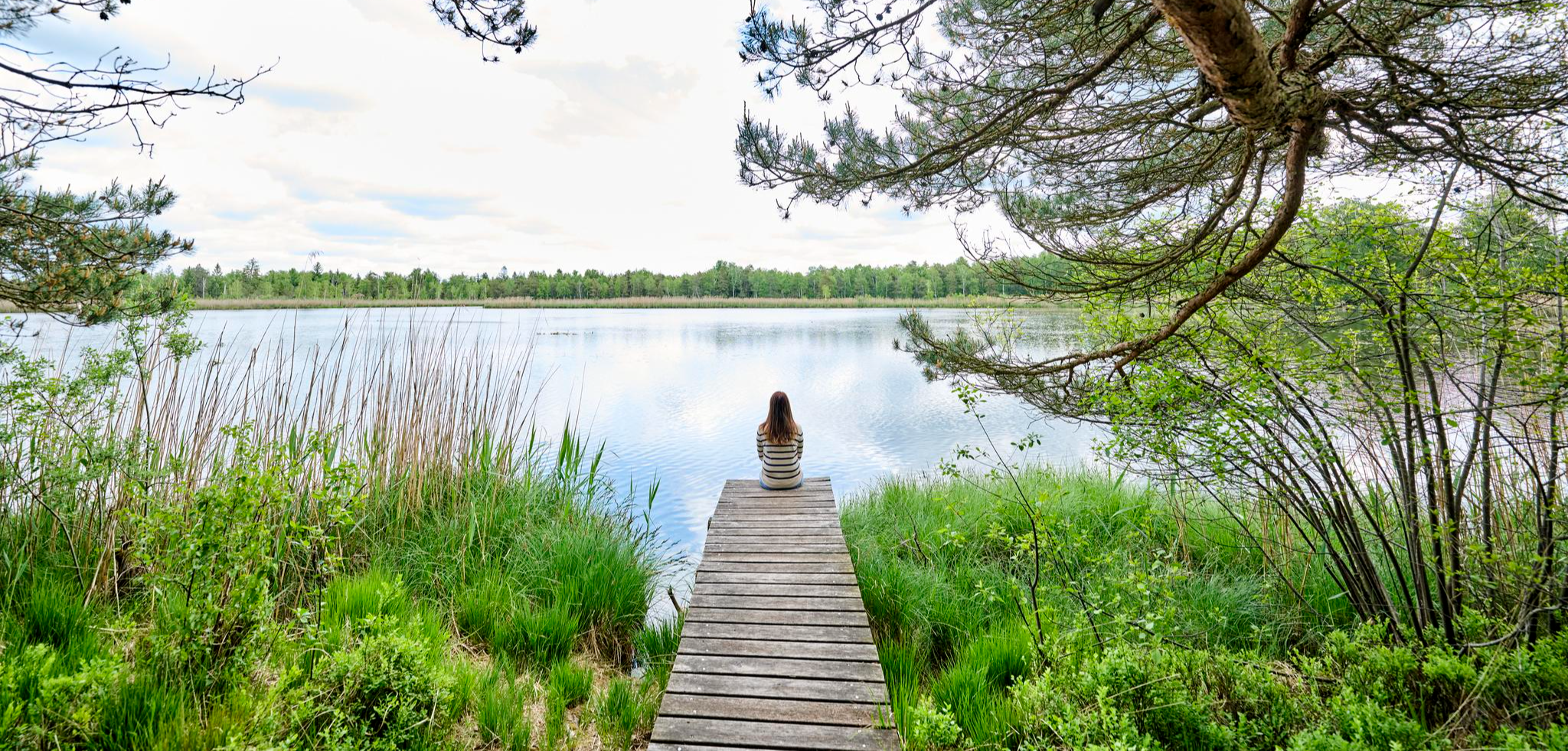
Nature, city, Baroque – short breaks in Upper Swabia-Allgäu
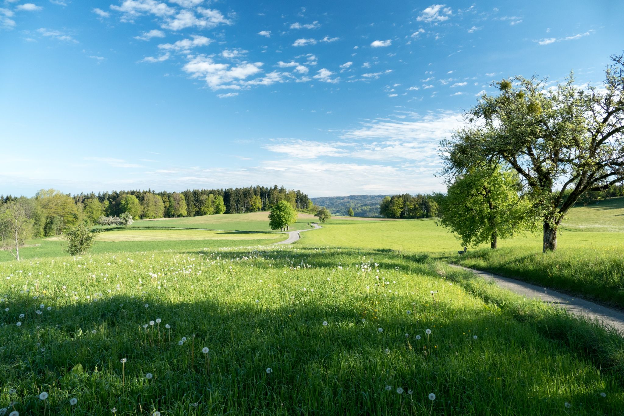
Hills, RAISED BOGS and HIGH BAROQUE - the Oberschwaben-Allgäu-Radweg
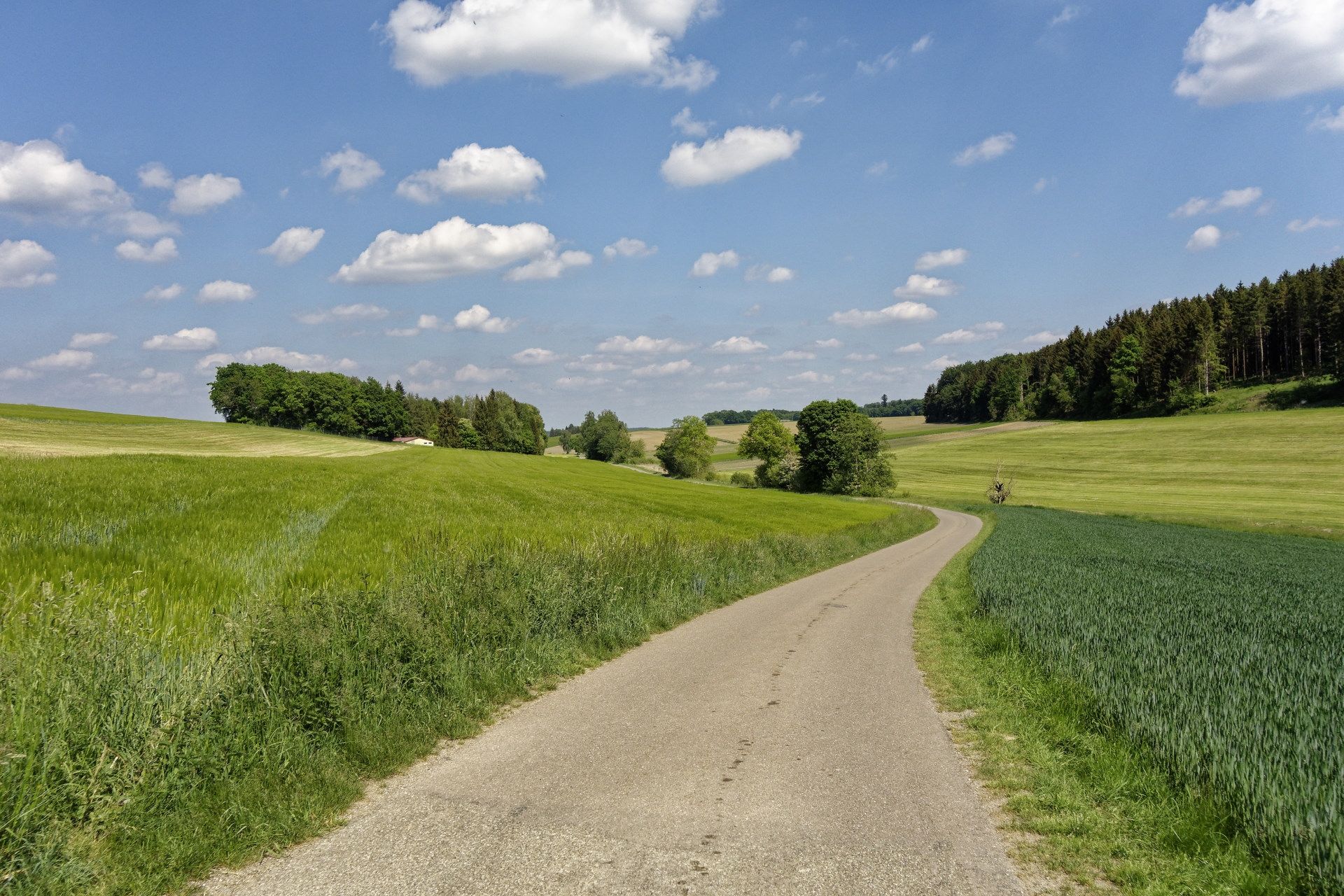
Discover the Oberschwaben-Allgäu Cycle Path in Germany
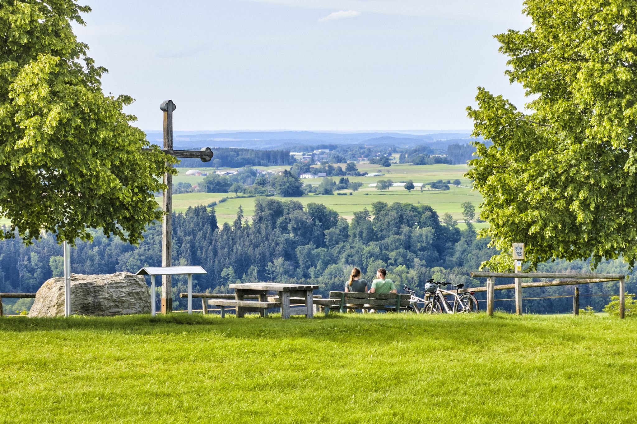
Cycling through Upper Swabia in Germany – beautiful paths & landscapes
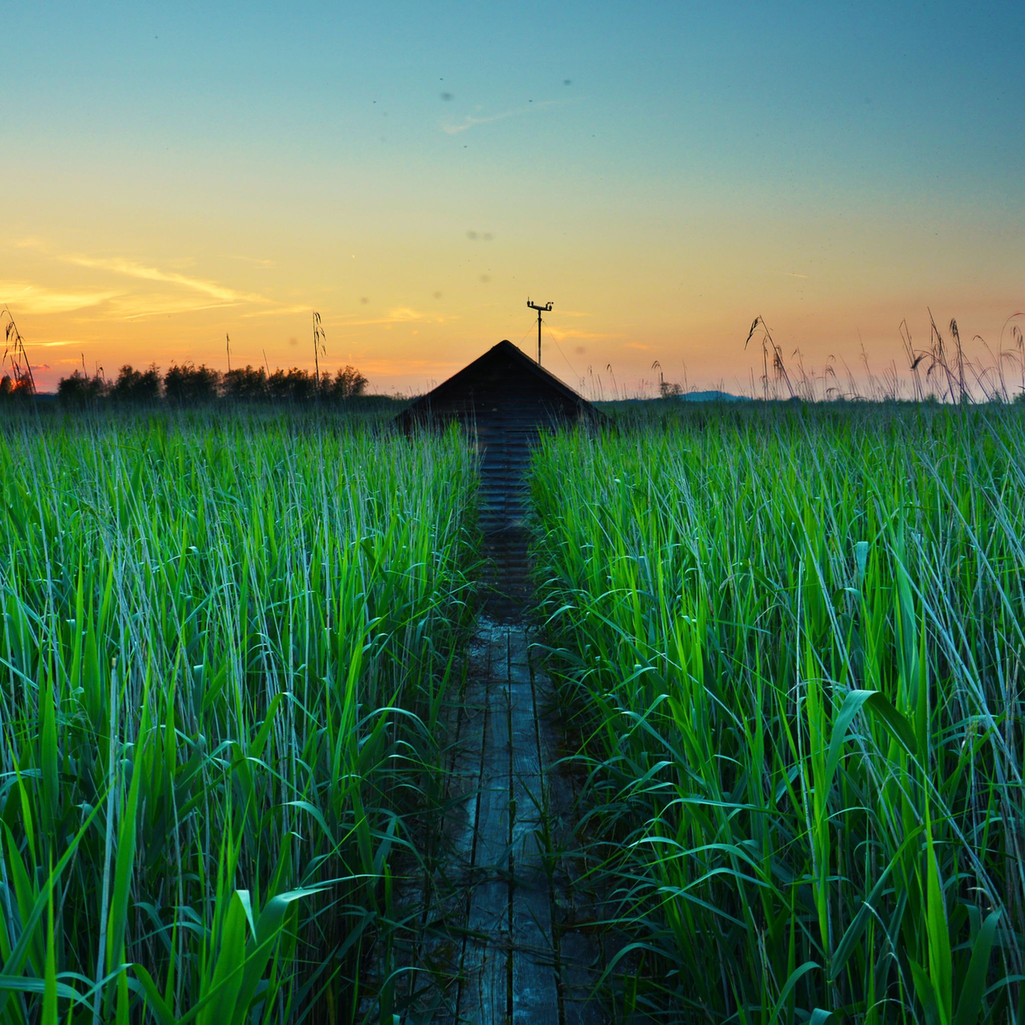
Cycling around Bad Buchau
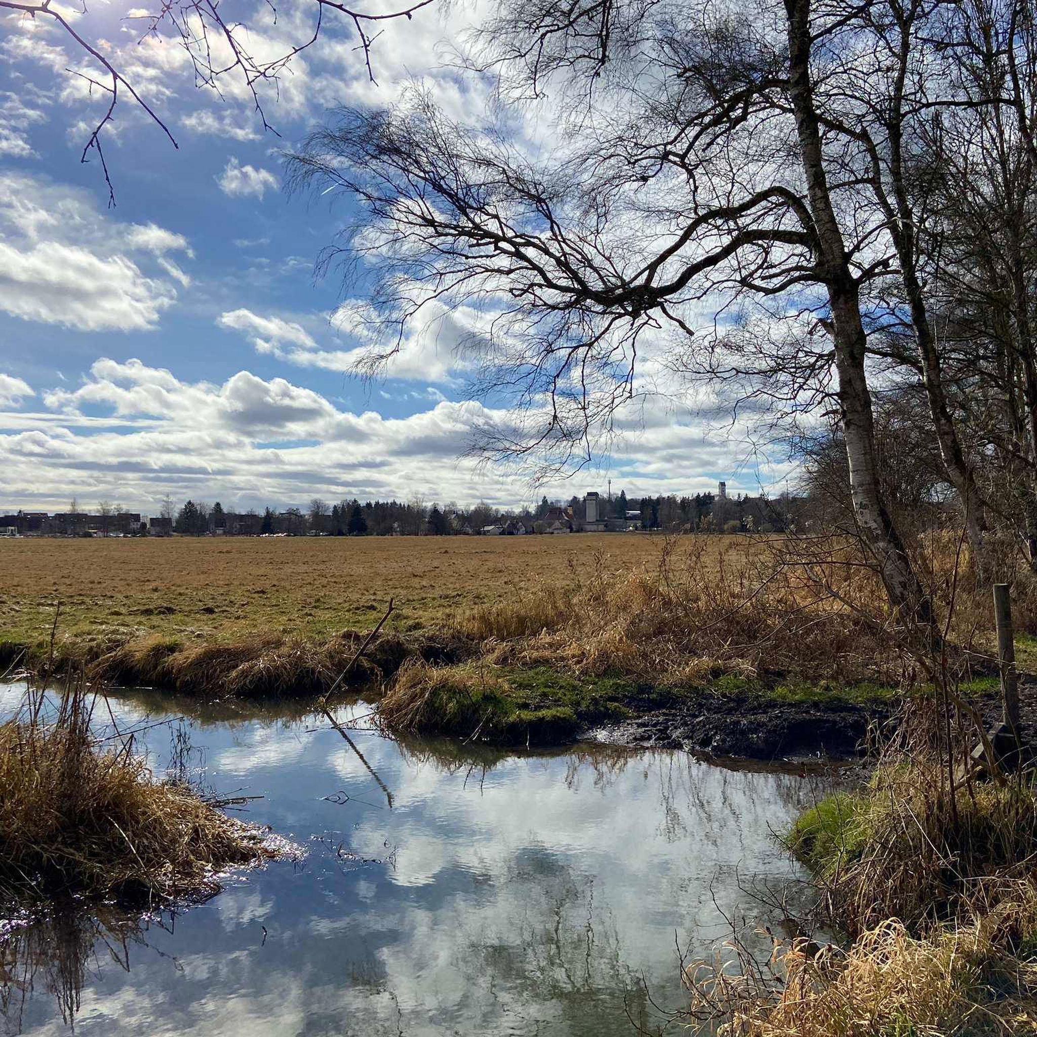
Running Trails around Bad Buchau
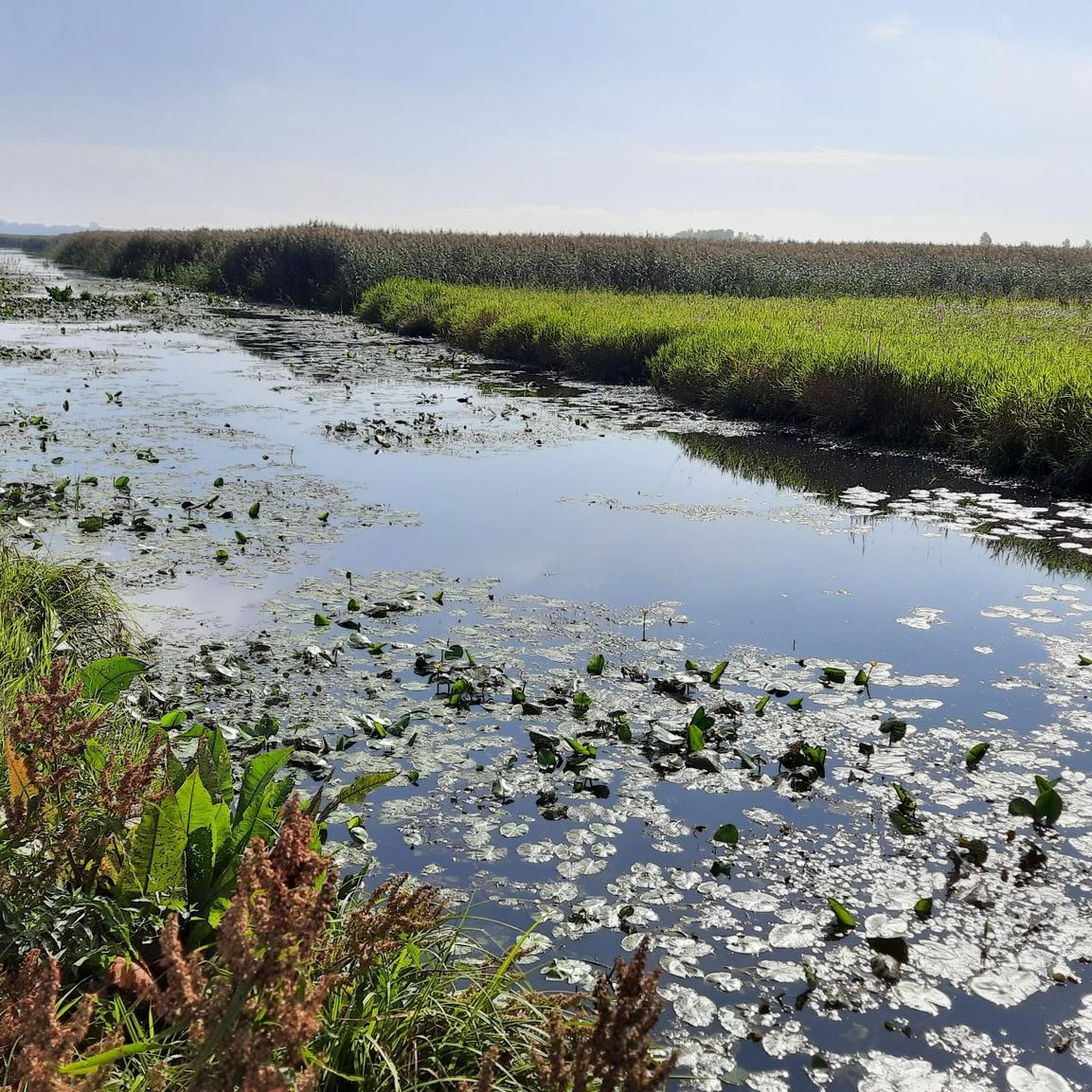
Road Cycling Routes around Bad Buchau
MTB Trails around Bad Buchau
Gravel biking around Bad Buchau
Other adventures around Bad Buchau


Tips from the Community

Quiet nature reserve with many animals
0
0

If you want to cross the flood bridge on the left side of Lake Federsee, first check how the rain was before. It wasn't long enough for us 🤣 but we still had to wade through the water. Tip: always carry two plastic bags 🛍️ in your backpack, then you can get through the water with almost dry feet 😂
0
0
Entrance fee: €2.50 The bridge is open 24 hours a day. As long as someone is at the ticket counter, you have to pay. If no one is there, admission is free. Definitely a highlight, especially for birdwatchers. You'll see lots of them with their cameras and large lenses.
0
0

Easy to do with running shoes, all flat. Mostly road.
0
0

Always beautiful at the Federsee
0
0

A beautiful lake with beautiful views.
6
0

The Federsee near Bad Buchau in the Upper Swabian district of Biberach is the second-largest lake in Baden-Württemberg, with an area of 1.4 km². It lies in the middle of the largest contiguous moorland in southwest Germany, covering 33 km², and is the remnant of a once much larger post-glacial lake covering approximately 50 km². This complex of lake and moor now forms the core of the geological Federsee Basin, which, following renaturation measures, now possesses outstanding natural and cultural-historical significance with its former shores and islands. Source: Wikipedia
0
0
The Federsee near Bad Buchau in the Upper Swabian district of Biberach is the second-largest lake in Baden-Württemberg, with an area of 1.4 km². It lies in the middle of the largest contiguous moorland in southwest Germany, covering 33 km², and is the remnant of a once much larger post-glacial lake covering approximately 50 km². This complex of lake and moor now forms the core of the geological Federsee Basin, which, following renaturation measures, now possesses outstanding natural and cultural-historical significance with its former shores and islands. Source: Wikipedia
1
0
Frequently Asked Questions
How many hiking trails are available in Bad Buchau?
Bad Buchau offers a wide variety of hiking experiences, with over 120 trails available. These range from easy strolls around the Federsee to more moderate excursions through the surrounding moorland and forests.
What kind of terrain can I expect on hikes around Bad Buchau?
The terrain around Bad Buchau is quite diverse. You'll find flat paths around the Federsee lake and its extensive moorland, including boardwalks through reed beds. Beyond the lake, trails lead through forests, fields, and gentle rolling hills, offering varied scenery for different preferences.
What is the best time of year to go hiking in Bad Buchau?
Spring and autumn are generally considered the best seasons for hiking in Bad Buchau. During these times, you can enjoy mild climates, vibrant flower meadows in spring, or the beautiful colors of autumn leaves. The unique ecosystem of the Federsee is particularly active and picturesque during these periods.
Are there family-friendly hiking options in Bad Buchau?
Yes, Bad Buchau has several excellent options for families. The Federseesteg Boardwalk Through Federsee Moor is suitable for strollers and offers an immersive experience into the unique ecosystem. Additionally, the "In the Footsteps of the Celts" themed trail provides a playful way for children to explore nature and learn about local history.
Are there any unique natural features to explore while hiking?
Absolutely. A standout feature is the 'Wackelwald' (Shaking Forest), where trees grow on boggy ground, causing the ground to literally 'wobble' with every step. You can experience this phenomenon on the Wobbling Forest, Federsee – Federsee Nature Reserve loop from Bad Buchau. The Federsee lake and its vast moorland are also significant natural reserves, perfect for birdwatching and experiencing a unique wetland landscape.
What landmarks or viewpoints can I see along the trails?
Many trails offer scenic views and access to interesting landmarks. The Federsee Boardwalk and Federsee Observation Platform provide excellent vantage points over the lake and moor. For impressive panoramic views over Bad Buchau and the entire Federsee Moor, consider trails like the Alpenblick-Weg. You can also explore ancient pile dwelling sites, such as on the Pile Dwellings at the Federsee – Federsee Nature Reserve loop from Bad Buchau.
Are there any circular hiking routes around Bad Buchau?
Yes, many of the hiking routes around Bad Buchau are designed as circular paths, allowing you to start and end at the same point. Examples include the Federsee Bog – Federsee Boardwalk loop from Bad Buchau, which offers extensive views, and the Federsee Bog – Federsee Canal loop from Bad Buchau.
Are dogs allowed on the hiking trails in Bad Buchau?
Many trails in Bad Buchau are dog-friendly, especially those through forests and fields. However, as the Federsee area is a significant nature reserve, it's important to keep dogs on a leash, particularly in sensitive areas like the moorland and near bird breeding grounds, to protect wildlife. Always check local signage for specific restrictions.
Are there any challenging hikes in Bad Buchau?
While Bad Buchau is known for its accessible and moderate trails, there are a few more challenging options for experienced hikers. These typically involve longer distances or slightly more varied terrain, though significant elevation changes are rare due to the region's flat nature. Komoot lists 5 difficult routes in the area for those seeking a greater challenge.
What do other hikers enjoy most about the trails in Bad Buchau?
The trails in Bad Buchau are highly rated by the komoot community, with an average score of 4.5 stars from over 1700 reviews. Hikers frequently praise the unique natural beauty of the Federsee and its moorland, the well-maintained boardwalks, and the peaceful atmosphere. The opportunity for birdwatching and the distinctive 'Wackelwald' are also often highlighted as favorite aspects.
Are there any waterfalls near Bad Buchau?
The landscape around Bad Buchau is characterized by the Federsee lake and its extensive moorland, rather than mountainous terrain with waterfalls. While there are no prominent waterfalls directly in Bad Buchau, the region offers unique water features like the Federsee itself and various canals and streams within the moor.
Is Bad Buchau well-connected by public transport for hikers?
Bad Buchau has some public transport connections, which can be useful for reaching trailheads or returning from longer point-to-point hikes. However, for maximum flexibility, especially when exploring the more remote parts of the Federsee region, traveling by car is often more convenient. It's advisable to check local bus schedules in advance if you plan to rely on public transport.
Most popular routes around Bad Buchau
Most popular attractions around Bad Buchau

Get inspired with the komoot mobile app


Explore more
Browse the best Hikes in other regions.
