The best road cycling routes in Carp Hills
4.5
(2)
135
riders
7
rides
Road cycling routes in Carp Hills traverse a unique Canadian Shield landscape, characterized by a rocky ridge with ancient Precambrian bedrock and granite outcrops. The terrain features a mosaic of rock barrens, rocky woodlands, and dense mixed forests, offering varied scenery for cyclists. Routes often provide views of agricultural landscapes in the Carp River valley. This geological makeup contributes to routes with moderate elevation gains suitable for different fitness levels.
Best road cycling routes in Carp Hills
- The most popular road cycling route is Richcraft Recreation Complex loop from Morgan's Grant, a 17.6 miles (28.3 km) trail that takes 1 hour 10 minutes to complete, offering an easy ride through the area.
- Another top favourite among local road cyclists is Lac Deschênes Beach – Andrew Haydon Park loop from Kanata Lakes, an easy 19.3 miles (31.1 km) path that connects to scenic waterfront areas.
- Local road cyclists also love the Britannia Cafe – Lac Deschênes Beach loop from Kanata Lakes, a 23.1 miles (37.3 km) trail leading through varied landscapes, often completed in about 1 hour 33 minutes.
- Road cycling in Carp Hills is defined by Canadian Shield geology, mixed forests, and agricultural landscapes. The network offers options for different ability levels, from easy loops to routes with moderate elevation gains.
- The routes in Carp Hills are highly rated by the komoot community with an average score of 4.5 stars from a few reviews. More than 100 road cyclists have used komoot to explore Carp Hills's varied terrain.
Last updated: July 2, 2026
11
riders
Easy road ride. Great for any fitness level. Mostly well-paved surfaces and easy to ride.
5.0
(1)
67
riders
31.0km
01:13
90m
90m
Easy road ride. Great for any fitness level. Mostly well-paved surfaces and easy to ride.

Sign up for free
4.0
(1)
11
riders
Easy road ride. Great for any fitness level. Mostly well-paved surfaces and easy to ride.
5
riders
15.6km
00:39
80m
90m
Easy road ride. Great for any fitness level. Mostly well-paved surfaces and easy to ride.
33
riders
37.3km
01:33
120m
120m
Moderate road ride. Great for any fitness level. Some segments of this route may be unpaved and difficult to ride.
Get access to more routes and recommendations from other explorers.
Sign up for free
Already have an account?
Our route recommendations are based on thousands of hikes, rides, and runs completed by other people on komoot.
Start today with a free account
Your next adventure awaits.
Login or Signup
Popular around Carp Hills
Tips from the Community

Watt's Creek Pathway follows Watt's Creek and is open to hiking, running, and biking. It's fully paved and easy to access with a stroller or wheelchair, as there is only a 0-5% grade, except for a roughly 10% grade near Carling Avenue. This trail passes over Watt's Creek a few times, through forests and into open grassy areas.
0
0
This small bridge crosses Watt's Creek and gives hikers and bikers a good look down onto the dark, slow-moving waters. This creek flows for about 10 kilometres through urban Kanata.
0
0
Wesley Clover Parks spans an impressive 200 hectares and is home to an equestrian centre, sport fields, a campground, and an education centre. The park has both public restrooms and water fountains.
0
0

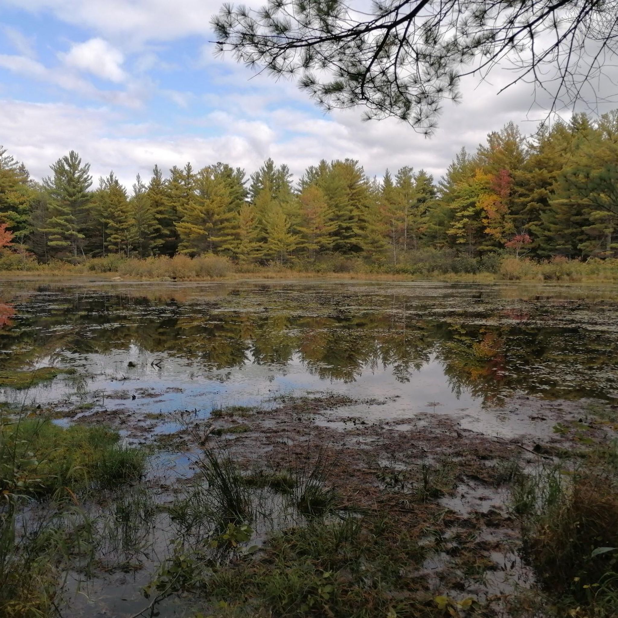
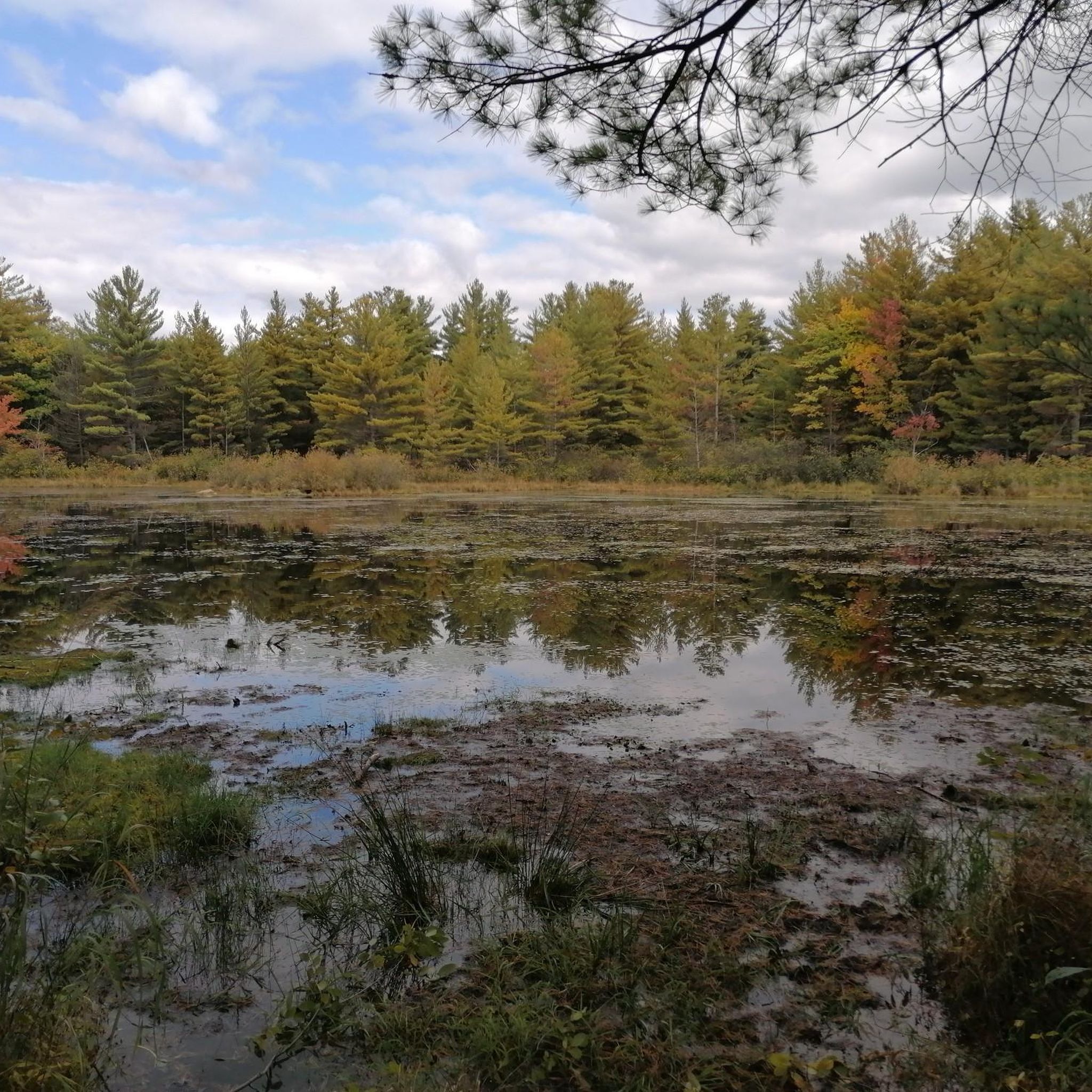
Attention as it is always flooded in places on this trail.
0
0
Carp River Conservation Area stands as a very important protected green space along the Carp River. Follow the Carp River Wetland Trail to see all the area has to offer. The trail is mostly flat and easy to navigate. It's common to see schools on field trips to learn about local ecology. There are no restrooms or parking areas in the conservation area, so plan ahead.
0
0

Britannia Park is a spacious waterfront area where the Ottawa River broadens into a sweeping expanse. The park includes a sandy beach, open green space, and paved pathways that meander along the riverbank. With its open, breezy setting, the park offers breathtaking views of the river and plenty of space for a variety of recreational activities along the river.
0
0
South March Highlands Conservation Forest is a large, ecologically diverse forested area known for its network of multi-use trails through wetlands, rock outcrops, and mature forest. The trails vary from easy, family-friendly paths to more rugged singletrack used by hikers, trail runners, and mountain bikers, with wildlife and birdwatching opportunities along the way. The forest’s natural setting feels surprisingly wild despite its proximity to suburbia, ideal for an outdoor escape year-round.
0
0

This park along the Ottawa River is perfect for anyone looking to get out for a nice walk. In addition to the trails you'll also find picnic tables, play structures, and benches. You can use the trails at the park to connect to other riverside parks and neighbourhoods as well.
0
0
Frequently Asked Questions
What kind of terrain can I expect when road cycling in Carp Hills?
The Carp Hills offer a unique Canadian Shield landscape, featuring a rocky ridge with ancient Precambrian bedrock and granite outcrops. You'll encounter a mosaic of rock barrens, rocky woodlands, and dense mixed forests. The routes often provide picturesque views of agricultural landscapes in the Carp River valley. This geological makeup contributes to routes with moderate elevation gains.
Are there routes suitable for beginners or families in Carp Hills?
Yes, Carp Hills has several routes suitable for different fitness levels, including easy road rides. For instance, the Richcraft Recreation Complex loop from Morgan's Grant is an easy 28.3 km ride, and the Lac Deschênes Beach – Andrew Haydon Park loop from Kanata Lakes is another easy 31.1 km option that connects to scenic waterfront areas.
What is the typical elevation gain on road cycling routes in Carp Hills?
Road cycling routes in Carp Hills generally feature moderate elevation gains. For example, the Richcraft Recreation Complex loop has an elevation gain of about 153 meters, while the Lac Deschênes Beach – Andrew Haydon Park loop has around 102 meters of ascent. Some routes may include 'little bumps' that are good for hill repeats if you're looking for a bit more challenge.
What are the road surface conditions like for cycling in Carp Hills?
Many of the road cycling routes in Carp Hills are described as having mostly well-paved surfaces, making them suitable for road bikes. The area's rural roads generally offer good quality for cycling.
What natural features or landmarks can I see while cycling in Carp Hills?
While cycling, you can enjoy the unique Canadian Shield landscape with its granite outcrops, rock barrens, and mixed forests. The routes often provide views of the agricultural landscapes of the Carp River valley. You might also spot numerous shallow beaver ponds and provincially significant wetlands. The nearby Village of Carp offers attractions like the Farmer's Market and the Diefenbunker: Canada's Cold War Museum.
Are there any circular road cycling routes in Carp Hills?
Yes, many of the routes in Carp Hills are designed as loops, offering a convenient way to start and end your ride at the same point. Examples include the Richcraft Recreation Complex loop from Morgan's Grant and the Lac Deschênes Beach – Andrew Haydon Park loop from Kanata Lakes.
What do other road cyclists enjoy most about cycling in Carp Hills?
The road cycling routes in Carp Hills are highly rated by the komoot community, with an average score of 4.5 stars. Cyclists often praise the varied scenery, which includes Canadian Shield geology, mixed forests, and agricultural landscapes, as well as the options available for different ability levels.
Where can I find parking for road cycling in Carp Hills?
Parking is available at various starting points for routes in the Carp Hills area. Popular options include starting points near the Richcraft Recreation Complex and in areas like Kanata Lakes, which serve as trailheads for many local loops.
What is the best season for road cycling in Carp Hills?
The Carp Hills area is generally best for road cycling during the warmer months, from spring through fall, when the weather is pleasant and roads are clear of snow and ice. This allows you to fully appreciate the natural beauty and diverse landscapes.
Are there any cafes or places to eat near the cycling routes in Carp Hills?
Yes, the nearby Village of Carp offers local amenities including restaurants and shops. Additionally, some routes, like the Britannia Cafe – Lac Deschênes Beach loop from Kanata Lakes, are named after or pass by establishments where you can stop for refreshments.
How long are the road cycling routes in Carp Hills typically?
The road cycling routes in Carp Hills vary in length to suit different preferences. You can find shorter loops, such as the Richcraft Recreation Complex loop from Kanata Lakes at about 15.5 km, to longer rides like the Britannia Cafe – Lac Deschênes Beach loop, which is approximately 37.3 km.
Can I reach Carp Hills cycling routes using public transport?
While specific public transport options directly to all trailheads might be limited, the Carp Hills area is accessible, and some routes start from locations like the Richcraft Recreation Complex or Kanata Lakes, which may have public transport connections or be reachable via a short ride from transit hubs.

Get inspired with the komoot mobile app


Explore more
Browse the best Road cycling routes in other regions.
