The best walks and hikes in Tolland State Forest
5.0
(1)
8
hikers
4
hikes
Hiking in Tolland State Forest offers diverse landscapes centered around the Otis Reservoir in the southern Berkshire Hills of Massachusetts. The forest spans over 4,400 acres, featuring lush forests of oak and pine, rolling hills, and significant natural attractions like the 40-foot Otis Falls. Trails traverse woodlands, lakeside areas, and marshlands, providing varied terrain for outdoor enthusiasts.
Best hiking trails in Tolland State Forest
- The most popular hiking route is Tolland State Forest loop, an easy 3.4 miles (5.5…
Last updated: May 10, 2026
5.0
(1)
2
hikers
5.50km
01:31
90m
90m
Embark on the Tolland State Forest loop, an easy hiking route that guides you through a lush forest setting. You will encounter diverse terrain, including some rocky sections and potentially…
1
hikers
4.06km
01:08
80m
80m
Easy hike. Great for any fitness level. Easily-accessible paths. Suitable for all skill levels.

Sign up for free
1
hikers
8.59km
02:20
120m
120m
Embark on a moderate hike along the Clam River Trail, a 5.3-mile (8.6 km) route that winds through a romantic stream valley. You will gain about 408 feet (124 metres)…
2.66km
00:46
90m
30m
The Clam River Trail offers an easy hiking experience through diverse forests of hardwood, white pine, and hemlock, where you can spot impressive cathedral pines. As you hike, the path…
4
hikers
3.44km
00:59
70m
70m
Embark on the Bob's Way Loop, an easy hike that spans 2.1 miles (3.4 km) with a modest elevation gain of 244 feet (74 metres). You can comfortably complete this…
Our route recommendations are based on thousands of hikes, rides, and runs completed by other people on komoot.
Start today with a free account
Your next adventure awaits.
Login or Signup
Popular around Tolland State Forest
Tips from the Community

Royal Pond is one of the main attractions at Bob's Way. The pond used to be a heron rockery, and it is still full of wildlife and a popular birdwatching site.
0
0
Two Rivers Loop is a popular trail in Clam River Preserve. The trail is not difficult and gives you good views of the river.
0
0
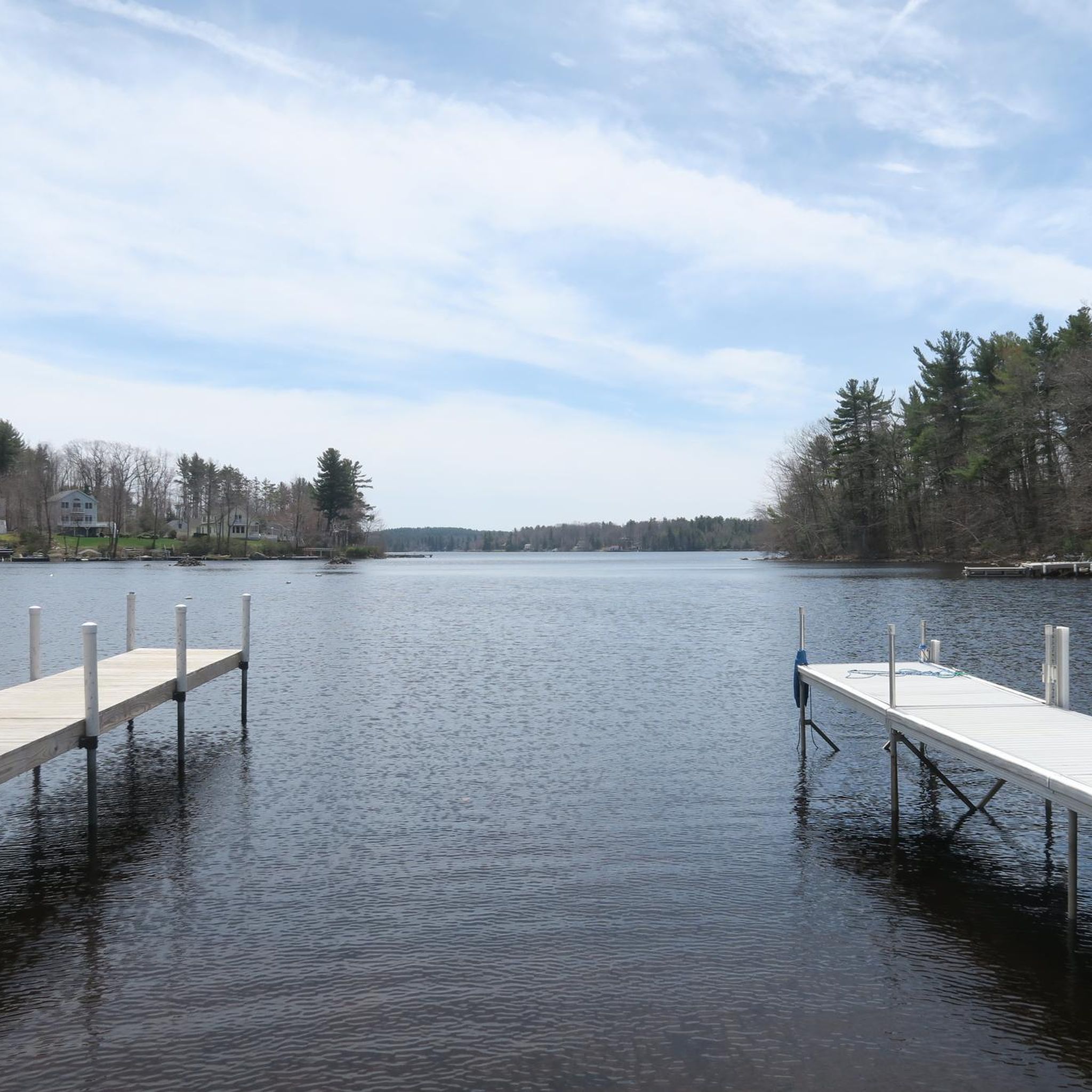
Otis Reservoir is a 1,085-acre reservoir in Otis. It is popular for boating and fishing. There are good views of the water from the trails in Tolland State Forest.
0
0

This forest is situated on a peninsula that juts out into the Otis Reservoir. Easy access to boating, fishing and swimming as well as mountain biking and hiking trails make this location an outdoor paradise.
0
0
Frequently Asked Questions
Are there any waterfalls in Tolland State Forest?
Yes, Tolland State Forest is home to the impressive Otis Falls and Otis Tributary Falls. The Otis Falls Trail, a 0.2-mile moderate hike, leads to these two stunning 40-foot waterfalls. Be aware that the descent to the base can be steep and rocky.
What kind of wildlife can I expect to see while hiking?
Tolland State Forest offers excellent opportunities for wildlife viewing. Keep an eye out for beaver, bobcat, black bear, otter, and fox on trails like Gilmore, Sawmill, and Farmington River. The forest and Otis Reservoir are also home to diverse bird species, including waterfowl, owls, cardinals, and migratory falcons and hawks.
Are there family-friendly hiking options in Tolland State Forest?
Yes, many trails in Tolland State Forest are considered easy to moderate, making them accessible for families. An easy option is the Bob's Way Loop, which is about 2.1 miles long and takes around 58 minutes to complete.
Are dogs allowed on the hiking trails in Tolland State Forest?
Tolland State Forest is generally dog-friendly. Dogs are permitted on the hiking trails, but they must be kept on a leash at all times. Please remember to clean up after your pet to help keep the trails enjoyable for everyone.
What are the best times of year to visit Tolland State Forest for hiking?
The forest is beautiful year-round, but spring (May-July) is particularly special due to the abundance of beautiful, pink-flowered mountain laurels. Autumn offers vibrant fall foliage. Summer is popular for combining hiking with water activities on Otis Reservoir, while winter provides opportunities for cross-country skiing and snowmobiling on designated trails.
Are there any circular hiking routes available?
Yes, Tolland State Forest features several loop trails that allow you to start and end at the same point. The Tolland State Forest loop is an easy 3.4-mile option, and the Otis Reservoir loop from Tolland State Forest is another popular 2.5-mile circular path.
What do other hikers enjoy most about Tolland State Forest?
The area is highly rated by the komoot community, with an average score of 5.0 stars. Hikers often praise the diverse landscapes, the scenic views of the Otis Reservoir, and the variety of trails that cater to different skill levels. The presence of natural features like Otis Falls and the lush forests are frequently highlighted.
How many hiking trails are there in Tolland State Forest?
Tolland State Forest offers a network of over 11 trails, providing approximately 25 miles of hiking experiences. These trails range from easy strolls to more challenging ascents, ensuring options for various preferences.
What are the main natural features or landmarks to look out for?
The centerpiece of the forest is the 1,065-acre Otis Reservoir, the largest recreational body of water in Western Massachusetts, offering scenic views. Other notable features include the 40-foot Otis Falls, lush forests of oak and pine, and rolling hills. During late spring and early summer, you'll also find an abundance of beautiful mountain laurels.
Are there any trails that offer views of the Otis Reservoir?
Yes, many trails provide scenic views of the Otis Reservoir. The Gilmore Trail, an easy 0.8-mile loop, offers reservoir views and interpretive stops. The Lake Trail, a moderate 4-mile route, also provides excellent vistas of the reservoir.
What is the terrain like on the trails?
The terrain in Tolland State Forest is diverse, featuring richly forested paths with dense thickets of oak and pine, and gentle to rolling hills. While most trails are considered easy to moderate, some sections, particularly leading to Otis Falls, can be steep and rocky, requiring appropriate footwear.
Is there a longer, more challenging trail for experienced hikers?
For those seeking a longer and more challenging experience, the Clam River Trail is a moderate 5.3-mile path that leads through diverse woodland. The Mountain Loop Trail, mentioned in regional research, is also described as a hard 5-mile route with steep ascents and rewarding views.
Most popular routes in Tolland State Forest

Get inspired with the komoot mobile app


Explore more
Browse the best Hikes in other regions.
