The best walks and hikes in Grassfield Forest
4.5
(328)
2,760
hikers
111
hikes
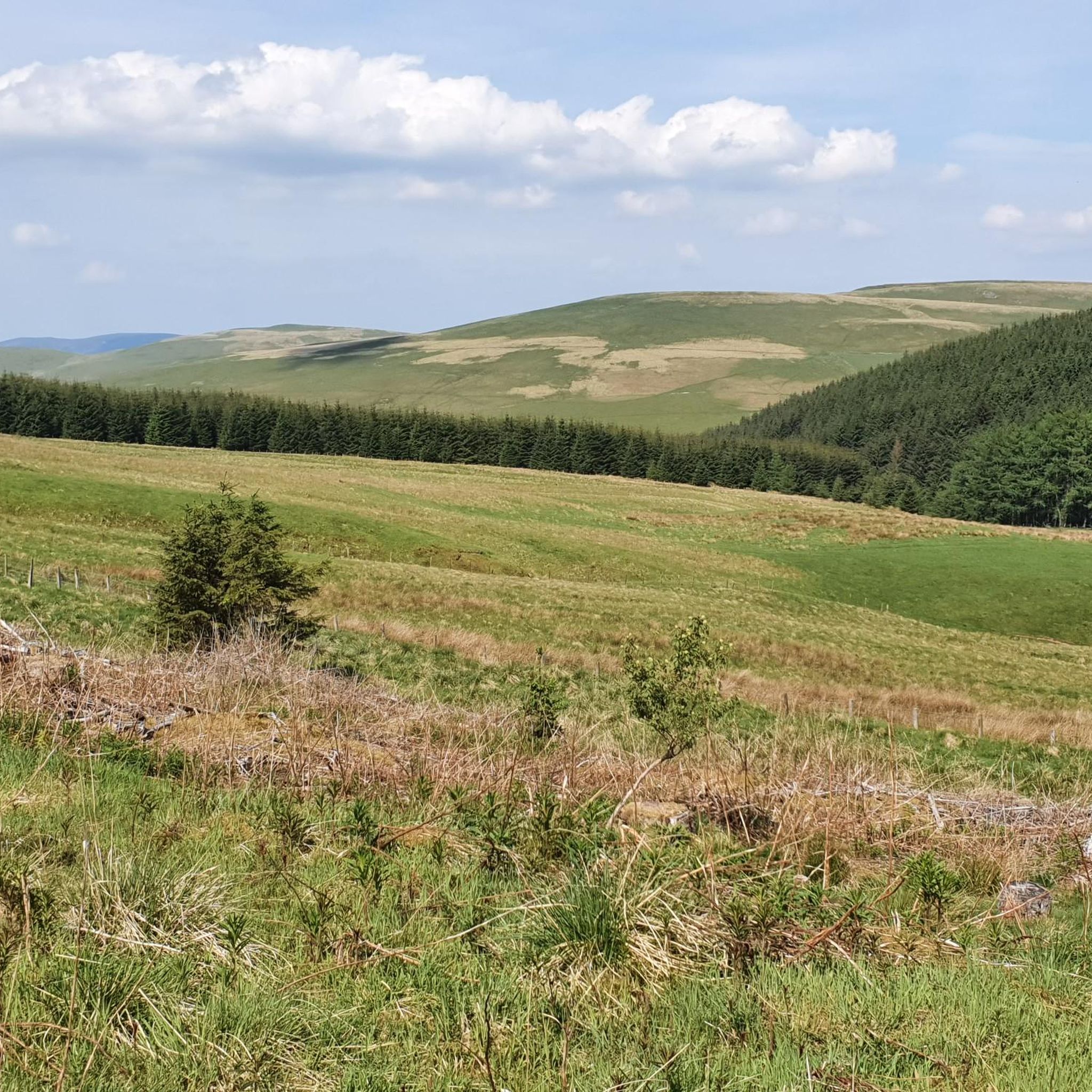
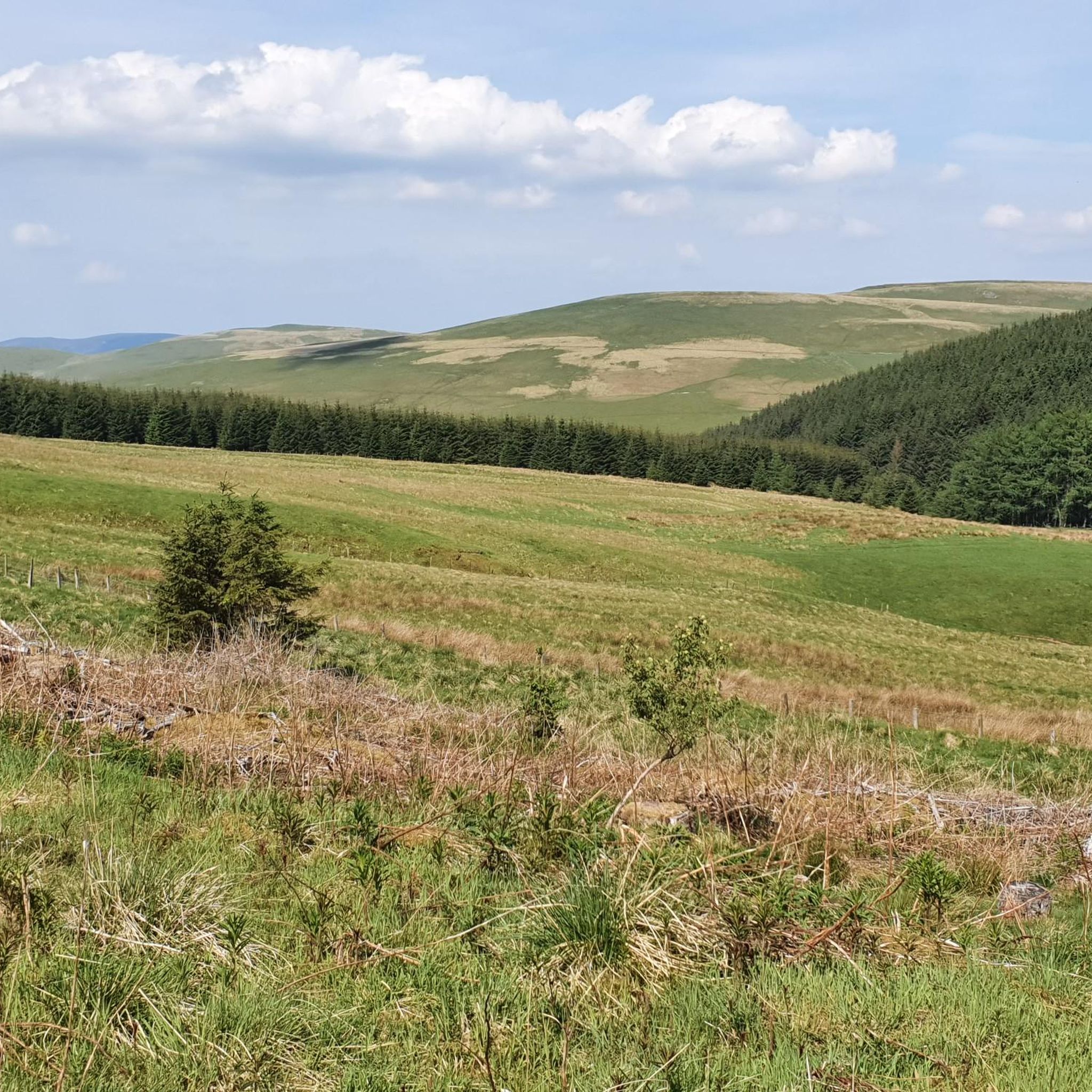
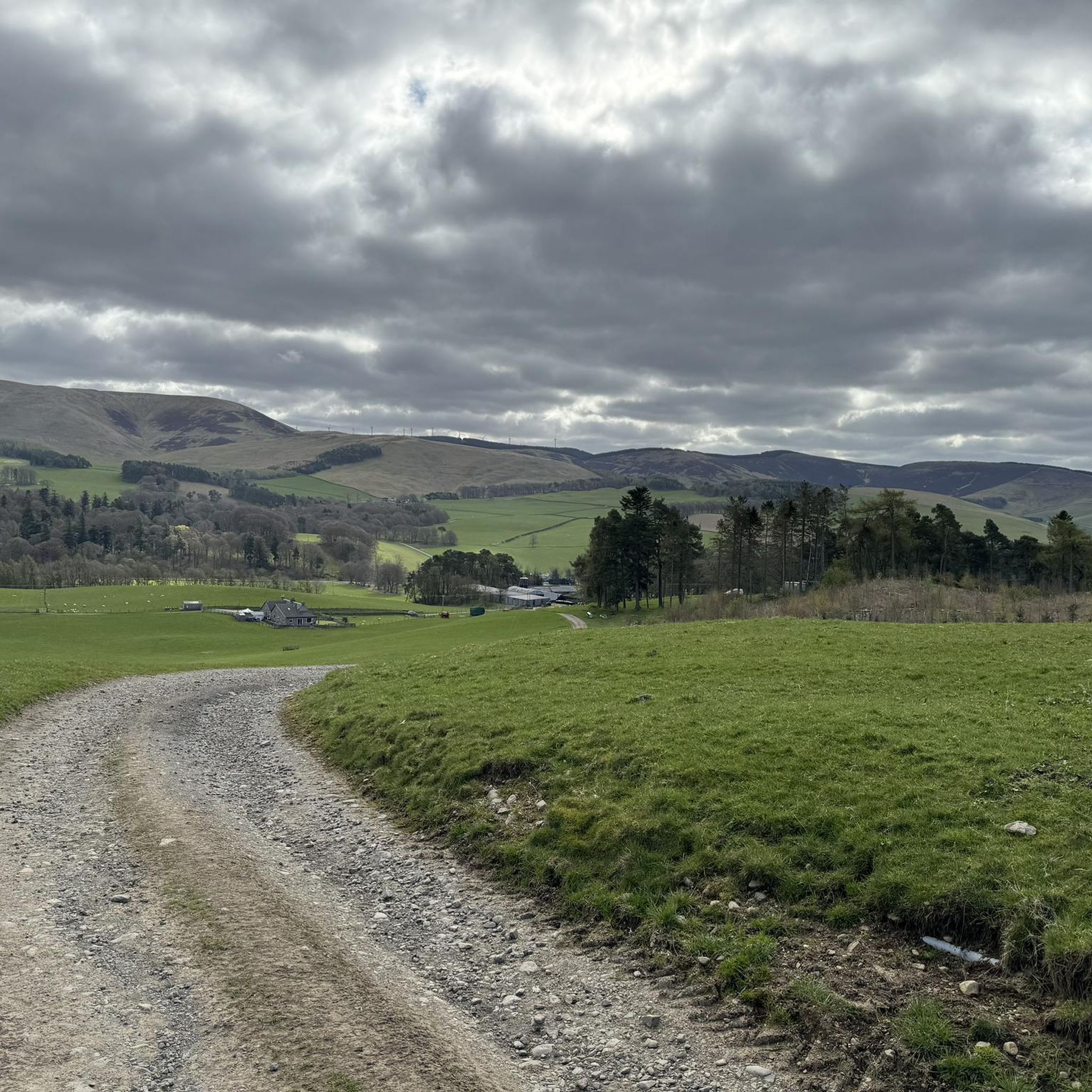
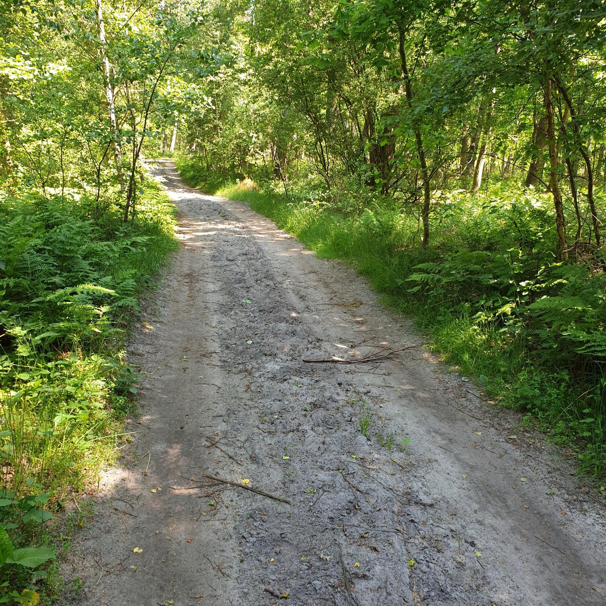
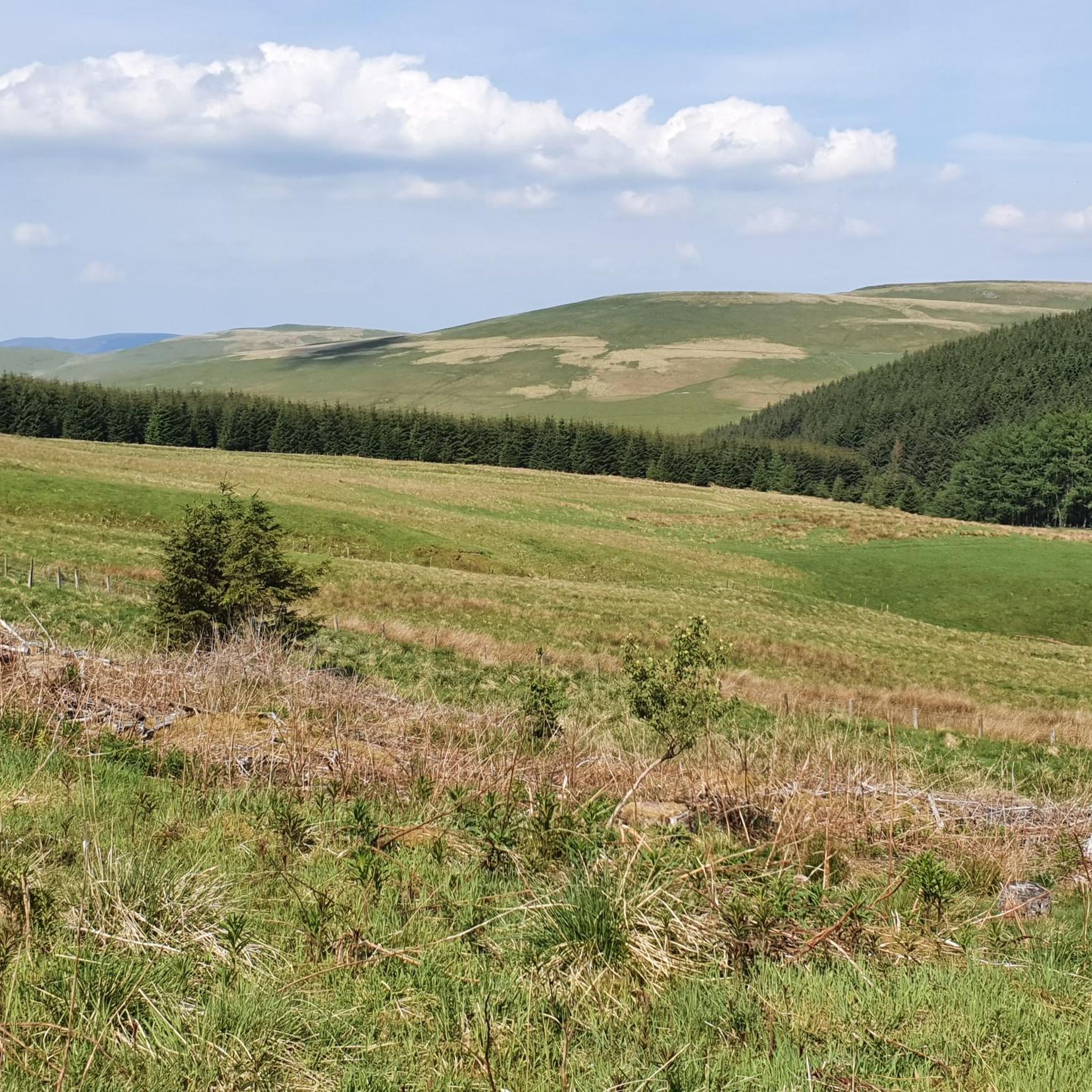
Hiking in Grassfield Forest, located in the Scottish Borders, offers a diverse environment for outdoor activities. The region features varied terrain with numerous loops, ranging from gentle paths through farmland and woodlands to more challenging routes with notable elevation gains. This forest provides a network of trails suitable for different fitness levels, characterized by its natural landscapes and scenic views.
Best hiking trails in Grassfield Forest
- The most popular hiking route is The Cloich loop, a 7.8 miles (12.5 km) trail that takes 3 hours 30 minutes to complete. This moderate route features varied terrain and a significant elevation gain.
- Another top favourite among local hikers is The Barony Castle loop, an easy 4.3 miles (7.0 km) path. This trail leads through Scottish Borders farmland and woodlands, featuring the Great Polish Map of Scotland.
- Local hikers also love the View of Black Mount – Cross Borders Drove Road loop from Romanno Bridge, a 6.3 miles (10.1 km) trail leading through scenic landscapes with views of Black Mount, often completed in about 2 hours 53 minutes.
- Hiking in Grassfield Forest is defined by varied terrain, dense woodlands, and open farmland, with picturesque views. The network offers options for different ability levels, from easy walks to moderate ascents.
- The routes in Grassfield Forest are highly rated by the komoot community with an average score of 4.5 stars from over 200 reviews. More than 2000 hikers have used komoot to explore Grassfield Forest's varied terrain.
Last updated: October 11, 2026
3.0
(2)
21
hikers
12.5km
03:31
250m
250m
Moderate hike. Good fitness required. Easily-accessible paths. Suitable for all skill levels.
5.0
(3)
12
hikers
6.95km
01:56
130m
130m
Hike the easy 4.3-mile Barony Castle loop through Scottish Borders farmland and woodlands, featuring the Great Polish Map of Scotland.

4.7
(11)
51
hikers
8.32km
02:19
160m
160m
Moderate hike. Good fitness required. Easily-accessible paths. Suitable for all skill levels.
3.7
(3)
25
hikers
4.96km
01:23
90m
90m
Easy hike. Great for any fitness level. Easily-accessible paths. Suitable for all skill levels.
5.0
(2)
11
hikers
10.1km
02:53
230m
230m
Moderate hike. Good fitness required. Easily-accessible paths. Suitable for all skill levels.
Get access to more routes and recommendations from other explorers.
Already have an account?
Our route recommendations are based on thousands of hikes, rides, and runs completed by other people on komoot.
Start today with a free account
Your next adventure awaits.
Tips from the Community

Just next to Barony Castle. Great historic heritage
0
0


Here an isolated, grassy footpath leads you along the foothills of Drum Maw, a 1,459 feet (445 m) hilltop in the Scottish Borders. Up ahead is a glorious view of a number of shapely hills, including Hag Law and Green Knowle.
1
0

There's a decent spread of exertion, several difficult sections seemed to be followed by a decent surface, where less exertion was required
0
0

Don't do this trip after heavy rain unless your happy to get muddy.
1
0

The path leading up to Darnhall mains, passes through Swiss cabin wood and Gallows law. Part of the Barony Castle grounds dating back to the early 15th century. The stone walls you see along this route were built in the late 16th century after the last Reiver raid in 1581.
2
0
The Great Polish Map of Scotland is a large (50 m x 40 m) three-dimensional, outdoor concrete scale model of Scotland. It is also known as the Mapa Scotland (derived from Polish mapa Szkocji) or the Barony Map. The brainchild of Polish war veteran Jan Tomasik, it was built between 1974 and 1979 and is claimed to be the world’s largest terrain relief model. The sculpture is a category B listed building and is being restored by Mapa Scotland.
2
0

Interesting stop. Although you'd really need a drone to appreciate the map fully (:
0
0
Frequently Asked Questions
How many hiking trails are available in Grassfield Forest?
Grassfield Forest offers a wide selection of hiking opportunities, with over 100 routes to explore. These trails cater to various fitness levels, from easy walks to more challenging ascents.
Are there easy hiking trails suitable for beginners or families in Grassfield Forest?
Yes, Grassfield Forest has numerous easy trails perfect for beginners or family outings. For instance, The Barony Castle loop is an easy 4.3-mile path through farmland and woodlands. Another gentle option is the Darnhall Mains – The Horseshoe Inn loop, which is just under 5 km with a modest elevation gain.
What kind of terrain can I expect on the hiking trails in Grassfield Forest?
Hikers in Grassfield Forest can expect a diverse range of terrain. Trails often feature a mix of dense woodlands, open farmland, and varied paths. Some routes include significant elevation gains, while others offer more gentle, accessible paths.
Are there any notable landmarks or points of interest to see while hiking in Grassfield Forest?
Yes, one unique attraction is the Great Polish Map of Scotland, which can be seen along The Barony Castle loop. Additionally, many trails offer picturesque views, such as those of Black Mount from the Cross Borders Drove Road loop.
Are there any challenging hikes for experienced hikers in Grassfield Forest?
Grassfield Forest does offer more challenging routes for those seeking a greater test. While specific routes exceeding 5 hours or 3000 ft. of elevation require very good fitness and sure-footedness, trails like The Cloich loop provide a moderate challenge with varied terrain and a notable elevation gain over 12.5 km.
What do other hikers enjoy most about Grassfield Forest?
The area is highly rated by the komoot community, with an average score of 4.5 stars from over 200 reviews. Hikers frequently praise the varied terrain, the scenic views, and the network of trails that cater to different ability levels, from easy walks to moderate ascents.
Are there circular walking routes available in Grassfield Forest?
Yes, many of the trails in Grassfield Forest are designed as loops, offering convenient circular walking routes. Examples include The Cloich loop, Portmore Reservoir – Portmore Loch Woods loop, and View of Black Mount – Cross Borders Drove Road loop.
Is there parking available for hikers in Grassfield Forest?
While the guide does not specify exact parking locations, Grassfield Forest is a popular hiking destination in the Scottish Borders, and trailheads typically have designated parking areas. It is advisable to check specific route details on komoot for parking information related to your chosen starting point.
Can I reach Grassfield Forest trails using public transport?
Grassfield Forest is located in the Scottish Borders. While some routes may be accessible via public transport to nearby towns like Eddleston or Romanno Bridge, direct access to all trailheads might be limited. We recommend checking local bus routes to these towns and planning your hike accordingly.
What is the best time of year to go hiking in Grassfield Forest?
Grassfield Forest offers hiking opportunities throughout the year. The varied terrain and woodlands provide different experiences across seasons. Spring and autumn offer pleasant temperatures and vibrant scenery, while summer is ideal for longer days. Winter hikes are also possible, but conditions may require appropriate gear and caution.
Are dogs allowed on the hiking trails in Grassfield Forest?
Generally, dogs are welcome on trails in Scottish forests, but it's always best to keep them under control, especially around livestock and wildlife. Please follow the Scottish Outdoor Access Code, which advises keeping dogs on a lead or under close control to protect farm animals and ground-nesting birds.
Most popular routes in Grassfield Forest

Get inspired with the komoot mobile app


Explore more
Browse the best Hikes in other regions.
