The best road cycling routes in Banagher Forest
4.0
(1)
76
riders
12
rides
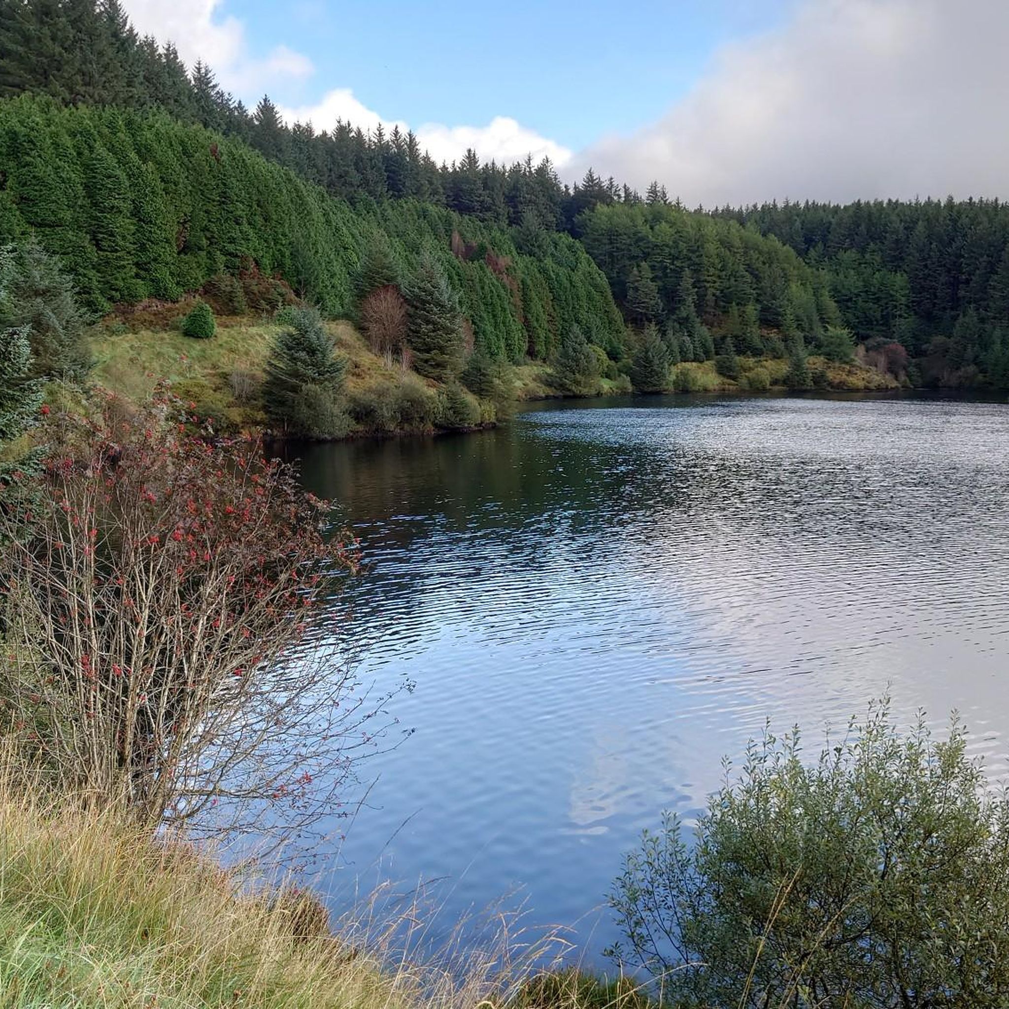
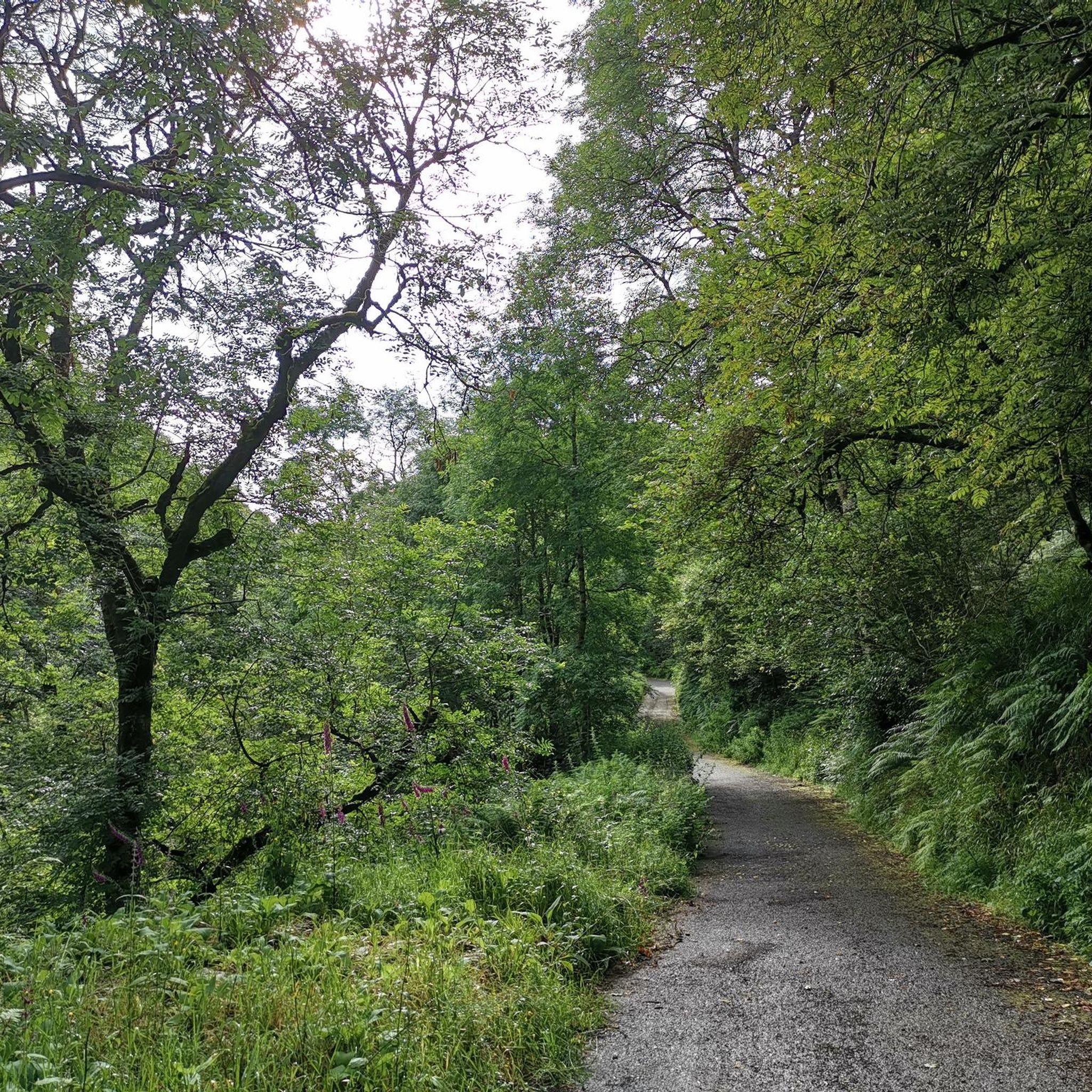
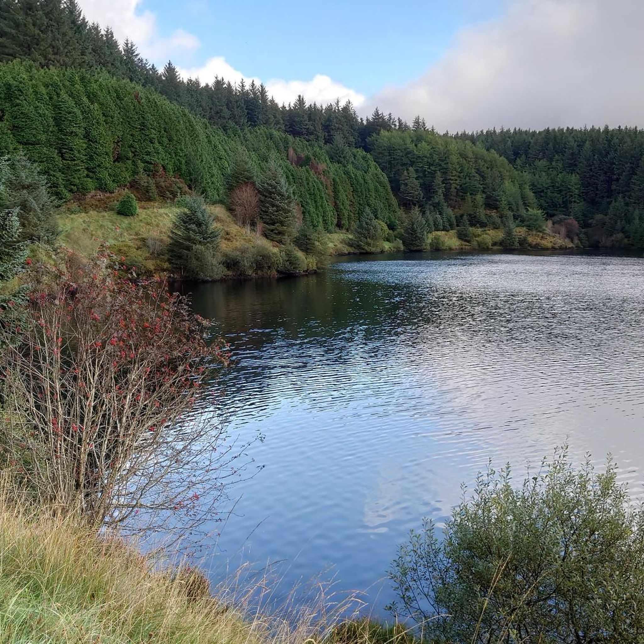
Road cycling routes in Banagher Forest traverse diverse landscapes within the Sperrin Mountains, featuring ancient oak woodlands, steep glens, and peat-covered slopes. The area includes coniferous forests and the meandering Owenrigh River, often followed by routes. Cyclists encounter mostly paved surfaces, with steady inclines and ascents into the Sperrin Mountains. The terrain offers a mix of challenges, from quiet forest roads to routes with significant elevation gains.
Best road cycling routes in Banagher Forest
- The most popular road cycling route…
Last updated: June 28, 2026
33
riders
109km
05:46
1,720m
1,720m
Hard road ride. Very good fitness required. Mostly well-paved surfaces and easy to ride.
1
riders
96.5km
04:29
1,110m
1,110m
Hard road ride. Very good fitness required. Some segments of this route may be unpaved and difficult to ride.

Sign up for free
3
riders
48.2km
02:21
530m
530m
Moderate road ride. Good fitness required. Mostly well-paved surfaces and easy to ride.
4.0
(1)
1
riders
102km
05:08
1,350m
1,340m
Hard road ride. Very good fitness required. Mostly well-paved surfaces and easy to ride.
3
riders
86.7km
04:09
1,020m
1,020m
Hard road ride. Very good fitness required. Mostly well-paved surfaces and easy to ride.
Get access to more routes and recommendations from other explorers.
Sign up for free
Already have an account?
Our route recommendations are based on thousands of hikes, rides, and runs completed by other people on komoot.
Start today with a free account
Your next adventure awaits.
Login or Signup
Popular around Banagher Forest
Tips from the Community

Altinaghree Castle is also known as Liscloon House and it thought to have been built in 1860 by William Ogilby
1
0

With Barnes Top and Knockanbane Mountain to the east and Sawel Mountain to the south east, Sperrins Road carves through the landscape with cracking views all around. There is some descent climbing to get here but it's worth it.
0
0

The beautiful winding road of Tamnagh takes you through the heart of Sperrins AONB. You can enjoy views toward the Sperrins ridge including mountains Sawel, Dart, and Mullaghdoo. It's a tough climb up in this section, but the views at the top will make it all worthwhile.
1
0
The beautiful winding road of Tamnagh takes you through the heart of Sperrins AONB. You can enjoy views toward the Sperrins ridge including mountains Sawel, Dart, and Mullaghdoo.
2
0

If there's a good bench out in the wild then it's always a good idea to take a rest. You never know when you'll fund another bench.
1
0
Lough Neagh is the largest freshwater lake in all of the Ireland and the UK. Watch out for the famous eels if you go for a swm ;)
2
0

A great place to stop and refuel. Take a few moments to enjoy the peace
1
0
Frequently Asked Questions
How many road cycling routes are available in Banagher Forest?
Banagher Forest offers a selection of 12 road cycling routes, catering to various preferences. Most of these routes are considered challenging, providing a good workout for experienced cyclists.
What is the typical difficulty level for road cycling in Banagher Forest?
Road cycling in Banagher Forest is generally challenging, with 10 out of 12 routes rated as difficult. These routes often feature significant elevation gains through the Sperrin Mountains. There are also 2 moderate routes available for those seeking a slightly less strenuous ride.
Are there any family-friendly road cycling options in Banagher Forest?
While many routes in Banagher Forest are challenging, the area does offer some quieter forest roads that might be suitable for families with older children or those comfortable with moderate inclines. However, there are no routes specifically categorized as easy, so cyclists should be prepared for some elevation.
Can I bring my dog on road cycling routes in Banagher Forest?
Banagher Forest is a natural area with diverse wildlife, including red squirrels and various bird species. While specific rules for dogs on cycling routes are not detailed, it's generally advisable to keep dogs on a lead to protect wildlife and ensure a safe experience for all users, especially in areas like the Banagher Glen Nature Reserve.
What are the best times of year to go road cycling in Banagher Forest?
Spring is particularly scenic in Banagher Forest, as the forest floor comes alive with bluebells, primroses, and wood anemones. The weather is generally milder from spring through autumn, offering pleasant conditions for cycling. Winter cycling might be possible but could involve colder temperatures and potentially wet conditions.
Are there any notable landmarks or scenic viewpoints along the road cycling routes?
Yes, road cycling routes in Banagher Forest often incorporate significant natural features. You can expect to see the serene Altnaheglish Reservoir and the impressive Banagher Dam, Northern Ireland's highest dam. The routes also traverse ancient oak woodlands and offer distant views of peaks like Sawel, Dart, and Mullaghclogha, and even Donegal on clear days.
Where can I find parking for road cycling in Banagher Forest?
Specific parking areas are available around Banagher Forest, often near trailheads or popular access points. For instance, routes like the Lough Lark – Goles Stone Row loop from Feeny Road Bus Stop suggest starting points that typically have nearby parking facilities.
Is public transport available to reach Banagher Forest for cycling?
Public transport options to Banagher Forest are limited. While some routes, like the Lough Lark – Goles Stone Row loop from Feeny Road Bus Stop, mention bus stops as starting points, it's recommended to check local bus schedules for current services and accessibility, as direct routes might be infrequent.
Are there any circular road cycling routes in Banagher Forest?
Yes, many of the road cycling routes in Banagher Forest are designed as loops, allowing you to start and finish at the same point. Examples include the challenging Lough Lark – Goles Stone Row loop from Feeny Road Bus Stop and the Draperstown, Gortin and Plumbridge loop — Sperrins.
Do I need a permit to cycle in Banagher Forest?
Generally, no specific cycling permits are required for road cycling on public roads and designated forest roads within Banagher Forest. However, it's always good practice to respect local regulations and signage, especially within protected areas like the Banagher Glen Nature Reserve. More information can be found on the nidirect.gov.uk website.
What do other cyclists say about road cycling in Banagher Forest?
The road cycling routes in Banagher Forest are highly rated by the komoot community, with an average score of 4.0 stars. Cyclists often praise the diverse landscapes, the challenge of the climbs into the Sperrin Mountains, and the peaceful experience on quiet forest roads.
Are there places to eat or stay near the road cycling routes?
While Banagher Forest itself is a natural area, nearby towns and villages in County Londonderry offer various options for cafes, pubs, and accommodation. It's advisable to plan your stops in advance, especially for longer rides, as amenities might not be directly on the routes.
What kind of landscapes can I expect to see while cycling in Banagher Forest?
You'll experience a rich tapestry of landscapes, from one of Ireland's largest ancient oak woodlands in Banagher Glen to steep, wooded glens and peat-covered slopes. Routes often follow the meandering Owenrigh River, and you'll pass through areas of coniferous forest, with ascents offering panoramic views of the Sperrin Mountains.
Are there any routes that offer a significant challenge for experienced road cyclists?
Absolutely. For experienced road cyclists seeking a significant challenge, routes like the Lough Lark – Goles Stone Row loop from Feeny Road Bus Stop stand out. This difficult 67.8-mile (109.1 km) trail features over 1,700 meters of elevation gain, providing a demanding ride through the Sperrin Mountains.

Get inspired with the komoot mobile app


Explore more
Browse the best Road cycling routes in other regions.
