The best walks and hikes around Dyfi Forest
4.5
(1446)
11,578
hikers
167
hikes
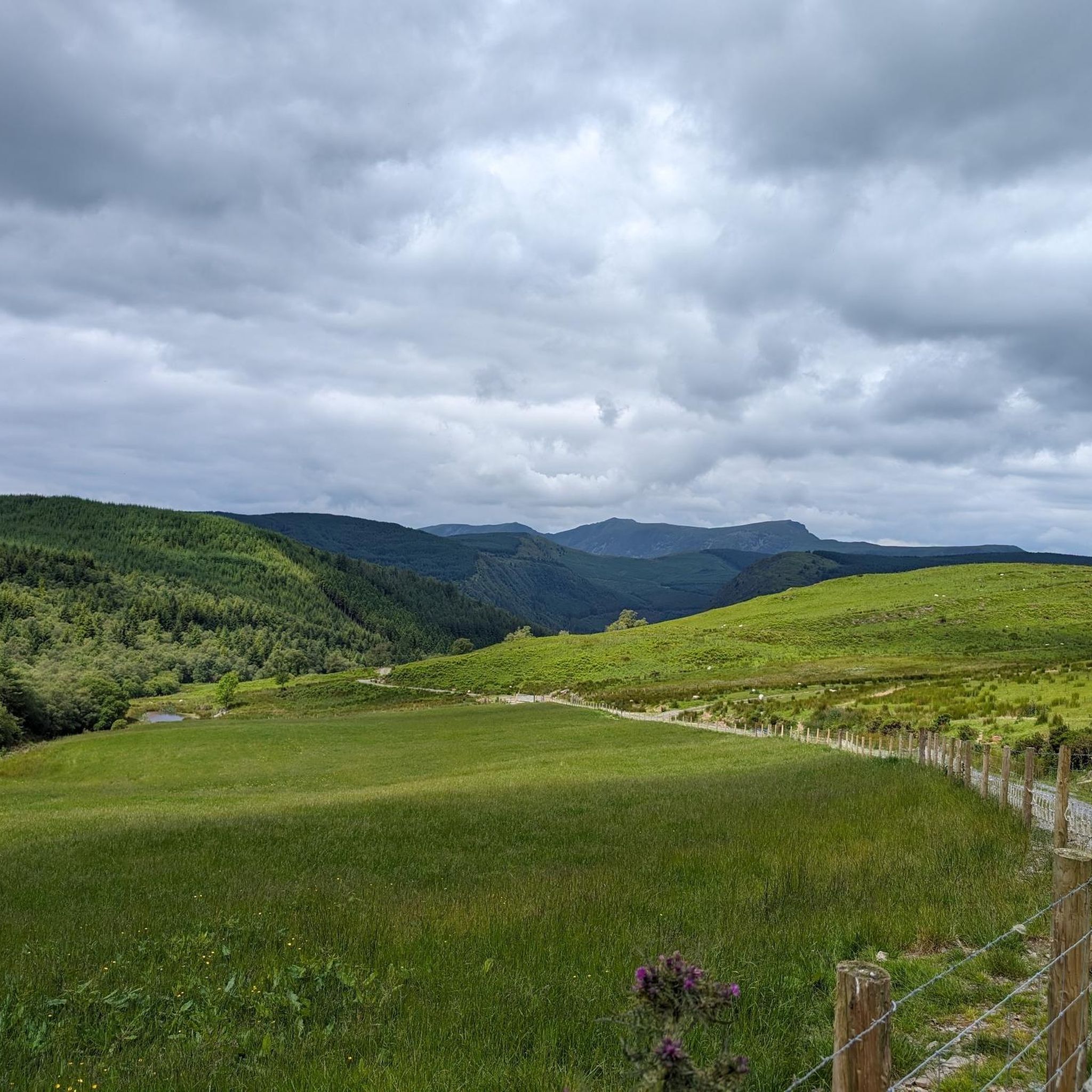
Hiking around Dyfi Forest explores a landscape characterized by steep, forested hillsides and rugged peaks, offering varied terrain for outdoor activities. The region features fast-flowing mountain streams, river valleys, and cascading waterfalls. Remnants of a historic slate quarrying industry are integrated into many trails, adding a historical dimension to the natural scenery. Situated largely within Eryri (Snowdonia) National Park, the forest provides a network of paths through diverse woodlands.
Best hiking trails around Dyfi Forest
- The most popular hiking route is Foel Dinas loop from Aberangell, an 8.9 miles (14.3 km) trail that takes around 4 hours 20 minutes to complete. This moderate hike involves a significant climb that rewards with expansive views across the region.
- Another top favourite among local hikers is Aberllefenni Slate Mines loop from Aberllefenni, a moderate 8.0 miles (12.9 km) path. The route passes through areas marked by the region's industrial heritage, including old slate quarries.
- Local hikers also love the Mynydd Llwyn-Gwern loop from Esgairgeiliog Ceinws, a 5.3 miles (8.5 km) trail leading through woodlands and offering views of the surrounding hills, often completed in about 2 hours 37 minutes.
- Hiking around Dyfi Forest is defined by its mix of woodland paths, riverside sections, and trails exploring former slate quarries. The network of routes provides options for different ability levels, from short, family-friendly walks to more strenuous circuits.
- The routes in Dyfi Forest are highly rated by the komoot community with an average score of 4.5 stars from over 1,300 reviews. More than 10,000 hikers have used komoot to explore Dyfi Forest's varied terrain.
Last updated: July 9, 2026
7
hikers
14.3km
04:21
440m
440m
Moderate hike. Good fitness required. Easily-accessible paths. Suitable for all skill levels.
3.3
(3)
11
hikers
8.11km
02:15
150m
150m
Moderate hike. Good fitness required. Easily-accessible paths. Suitable for all skill levels.

Sign up for free
5.0
(2)
7
hikers
8.54km
02:37
290m
290m
Moderate hike. Good fitness required. Easily-accessible paths. Suitable for all skill levels.
2
hikers
10.8km
03:26
430m
430m
Moderate hike. Good fitness required. Easily-accessible paths. Suitable for all skill levels.
3.3
(3)
5
hikers
12.9km
03:59
460m
460m
Moderate hike. Good fitness required. Easily-accessible paths. Suitable for all skill levels.
Get access to more routes and recommendations from other explorers.
Sign up for free
Already have an account?
Our route recommendations are based on thousands of hikes, rides, and runs completed by other people on komoot.
Start today with a free account
Your next adventure awaits.
Login or Signup

Other adventures around Dyfi Forest

Tips from the Community


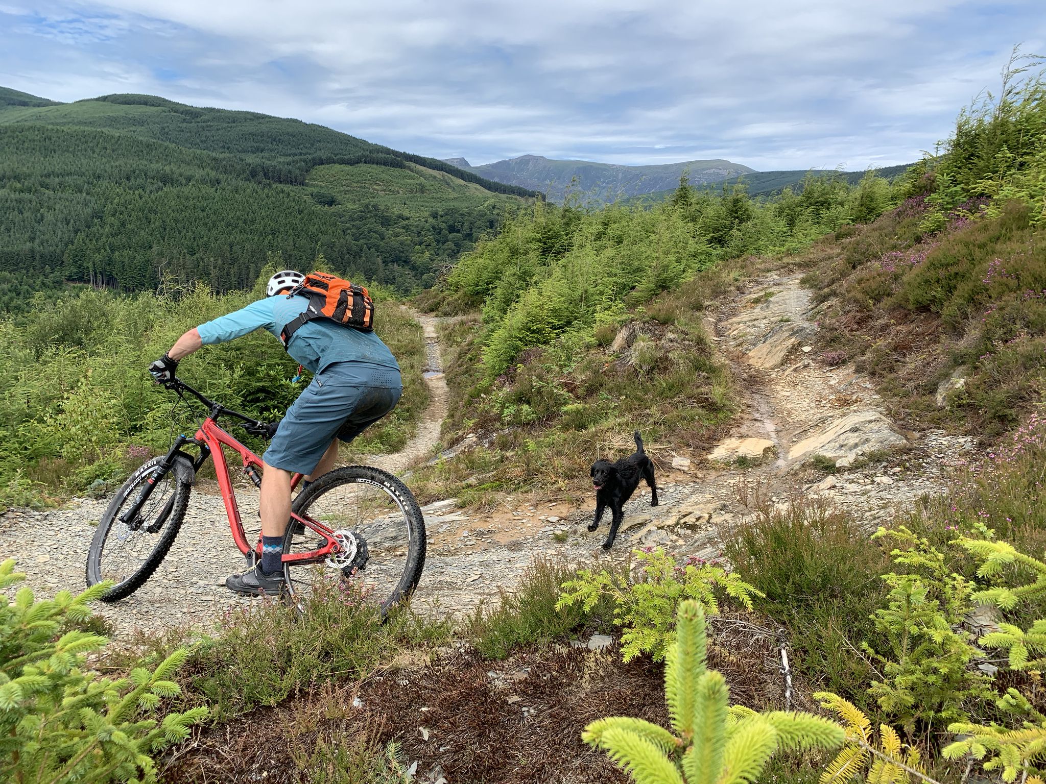
Heading south, this is a great, usually traffic-free descent. Heading north it's a hard climb with some 15%+ ramps especially towards the top.
0
0

On the banks of the Afon Dualas, below the hills just outside the southeastern border of Eryri (Snowdonia) National Park, is the small village of Aberllefenni. Built around the nearby slate mines, Aberllefenni's industry reached its peak in the 1890s, when around 190 men were employed here. When operations ceased in 2003, the mines enjoyed the title of the most continuously operated slate workings on the planet.
0
0


The minor road to Mallwyd, where there is a small cafe in the service station, historic church (St. Tydecho's) and an inn.
1
0
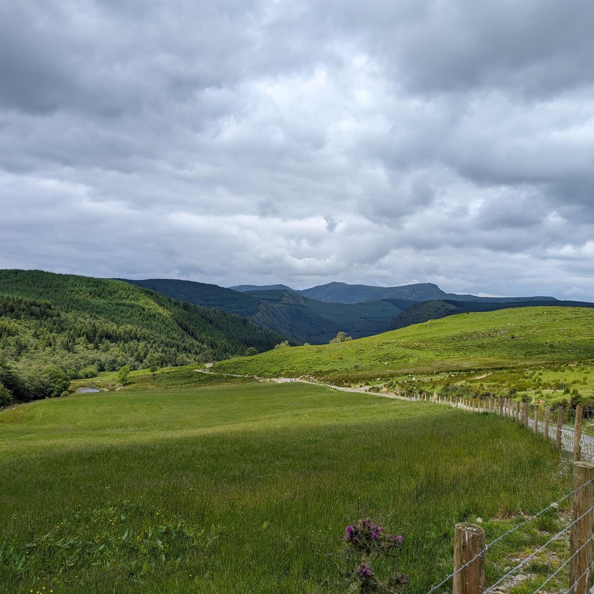
A fine hill in the Dyfi range, Foel Dinas rewards with sumptuous views across this quiet part of southern Snowdonia, particularly towards the rocky escarpment of Craig Maesglase. Its summit is crossed as part of the Cambrian Way long-distance trail, so you may not have it to yourself, despite its separation from the national park's honeypots. The ridge continues to Maesglase, one of the region's most captivating mountains.
0
0

It's a long slog of a climb from the south - but don't despair the scenery is amazing, and well worthy of every pedal stroke.
1
0
Frequently Asked Questions
Are there many walking trails in Dyfi Forest?
Yes, there are over 170 hiking routes to explore throughout Dyfi Forest. These range from short, accessible paths to more demanding all-day treks, with nearly half of the trails rated as moderate.
What do other hikers enjoy about Dyfi Forest?
The area is highly regarded by the komoot community, with thousands of visitors sharing their experiences. Hikers often praise the region's dramatic landscapes, which blend steep, forested hillsides with the atmospheric ruins of the old slate quarrying industry.
Are there any easy, family-friendly walks in the forest?
Absolutely. The Tan y Coed area is perfect for families, offering an Animal Discovery Trail which is a moderate 1.1-mile loop. It's a great spot with a picnic site among tall Douglas fir trees.
Can I bring my dog on hikes in Dyfi Forest?
Yes, Dyfi Forest is generally a great place to walk with dogs. The numerous trails through woodlands and along rivers offer plenty of space. However, always be mindful of local signage, especially concerning livestock in adjacent fields and wildlife conservation areas.
Are there any circular walks available?
Most of the popular trails in Dyfi Forest are circular routes, designed to bring you back to your starting point. A good example of a moderate circular walk is the Mynydd Llwyn-Gwern loop from Esgairgeiliog Ceinws, which offers a varied experience over about 5.3 miles (8.5 km).
Where can I find hikes with waterfalls?
The forest is known for its cascading rivers. For a shorter walk focused on a waterfall, consider a trail in the Coed Nant Gwernol area, which follows a rocky river gorge. The 'Cascade Trail' here is a popular 1-mile route.
Are there trails that explore the old slate quarries?
Yes, the region's industrial heritage is a key feature. The Corris Institute – Abercwmeiddaw Quarry Pool loop from Abercorris is a moderate 4.2-mile (6.8 km) hike that takes you past remnants of the area's slate mining past.
What is the best time of year to hike in Dyfi Forest?
Dyfi Forest is beautiful year-round, but spring is particularly special when the woodlands are carpeted with bluebells. Summer offers lush green scenery and the chance to see breeding ospreys at the nearby Dyfi Wildlife Centre. Autumn brings spectacular colours to the forest.
Are there any long-distance trails that pass through the area?
Yes, the 135-mile Glyndŵr's Way National Trail runs through parts of Dyfi Forest. You can hike sections of this trail, which crosses rolling farmland, open moorland, and forests, reaching its highest point at Foel Fadian for panoramic views.
How can I get to Dyfi Forest using public transport?
The main transport hub for the region is the town of Machynlleth, which has a train station with connections to the rest of the UK. From there, local bus services can take you closer to various trailheads within the forest, though services can be infrequent. It's best to plan your journey in advance.
Where are the best viewpoints in the Dyfi Valley?
For some of the most rewarding views, you'll need to tackle a bit of a climb. Hikes that ascend the Tarren and Dyfi mountain ranges offer stunning panoramas over the valleys. The strenuous 'Quarryman's Trail' from Coed Nant Gwernol provides expansive views towards the majestic peak of Cadair Idris.
Is there parking available at the trailheads?
Yes, there are several car parks that serve as convenient starting points for hikes. Popular, well-maintained car parks with picnic facilities can be found at Tan y Coed and Foel Friog. Arrive early on weekends and holidays as they can fill up.
Most popular routes around Dyfi Forest
Most popular attractions around Dyfi Forest

Get inspired with the komoot mobile app


Explore more
Browse the best Hikes in other regions.
