The best walks and hikes around St Gwynno Forest
4.4
(393)
3,468
hikers
12
hikes
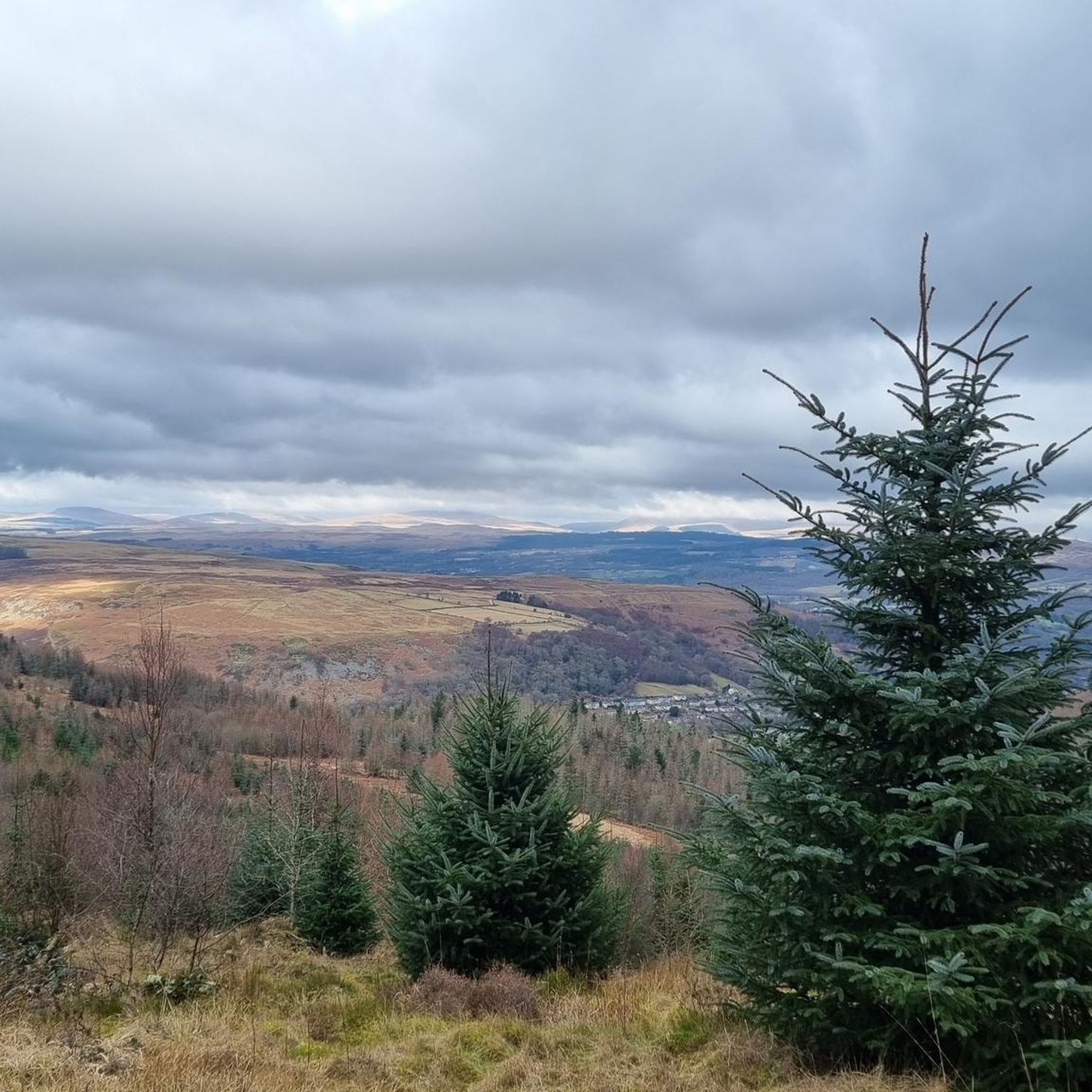
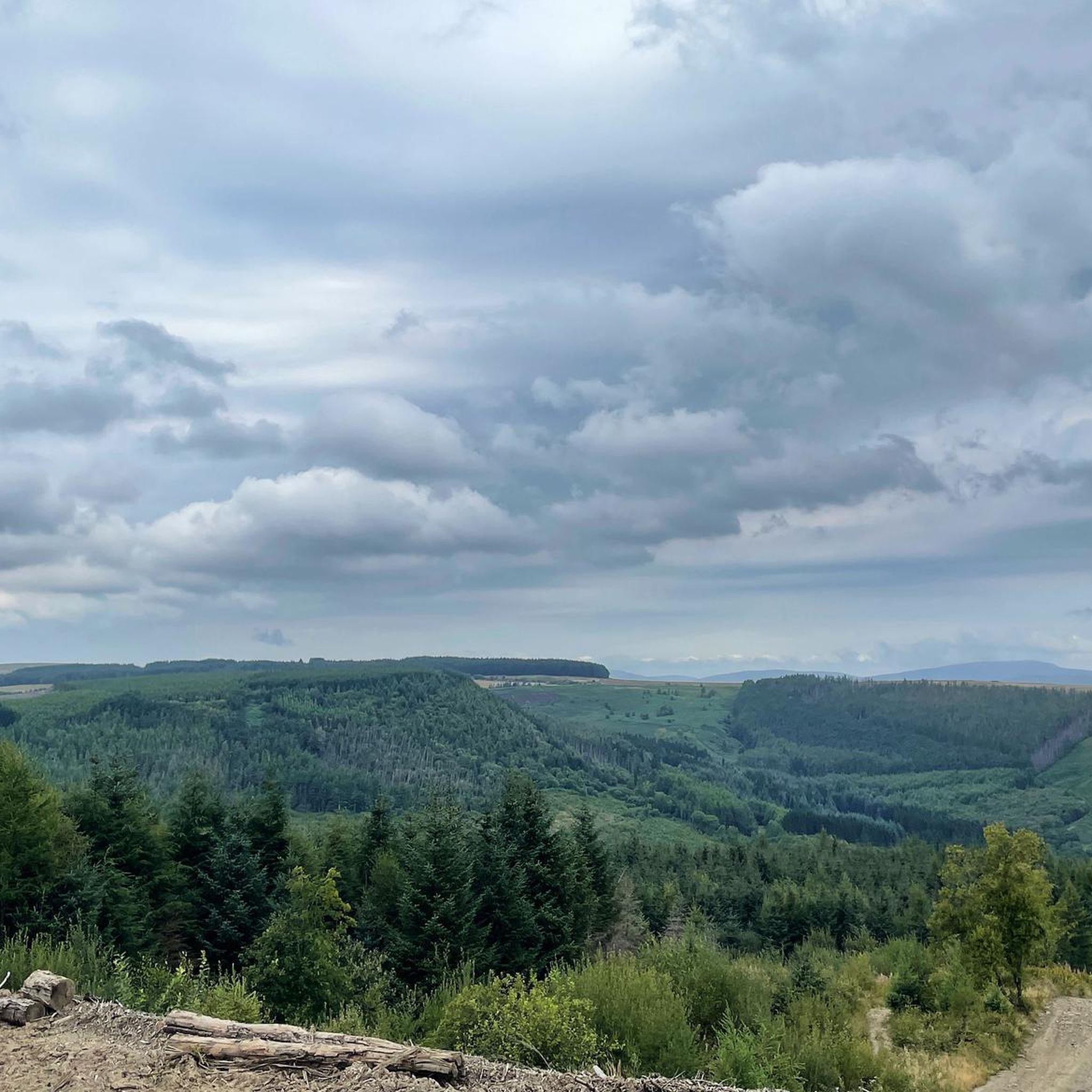
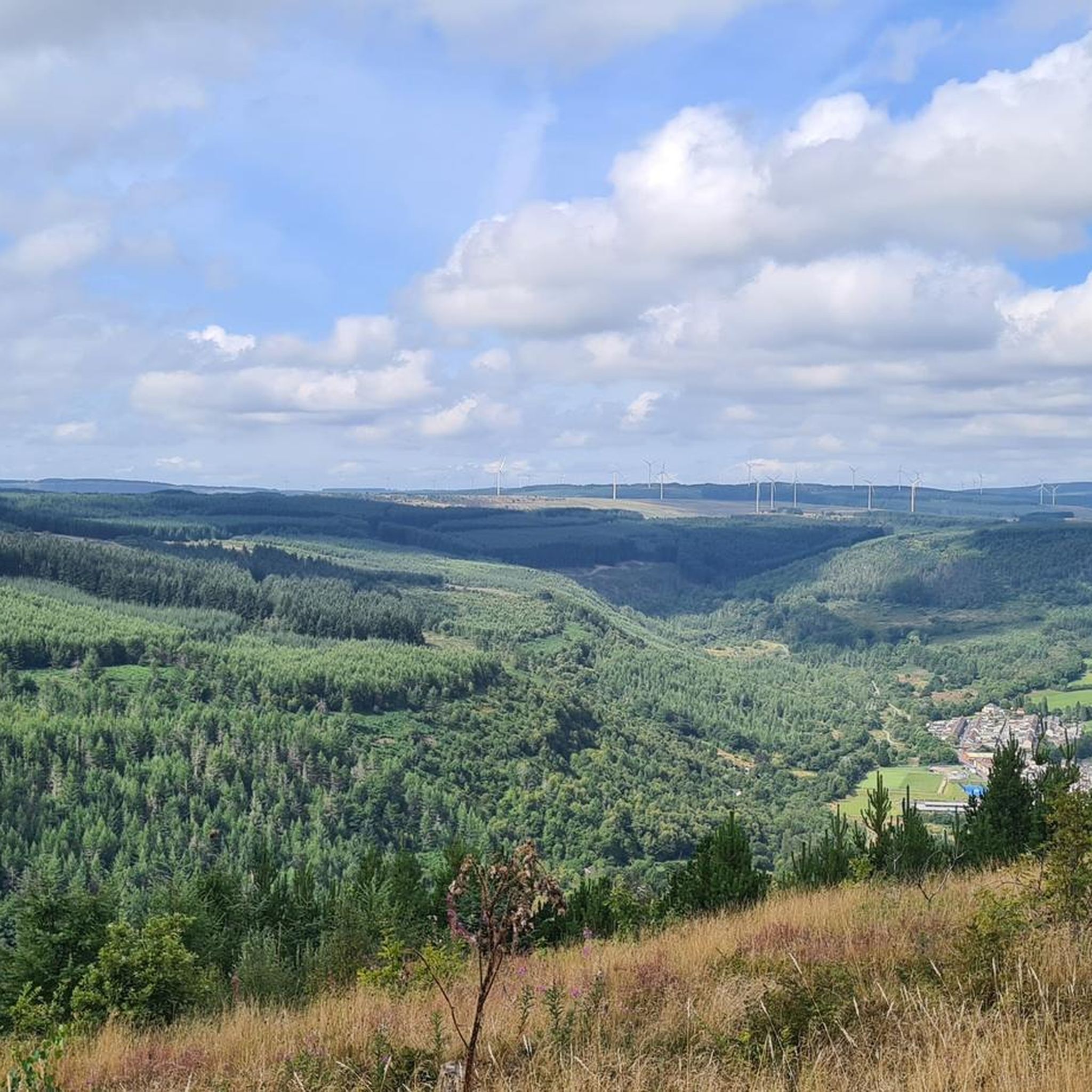
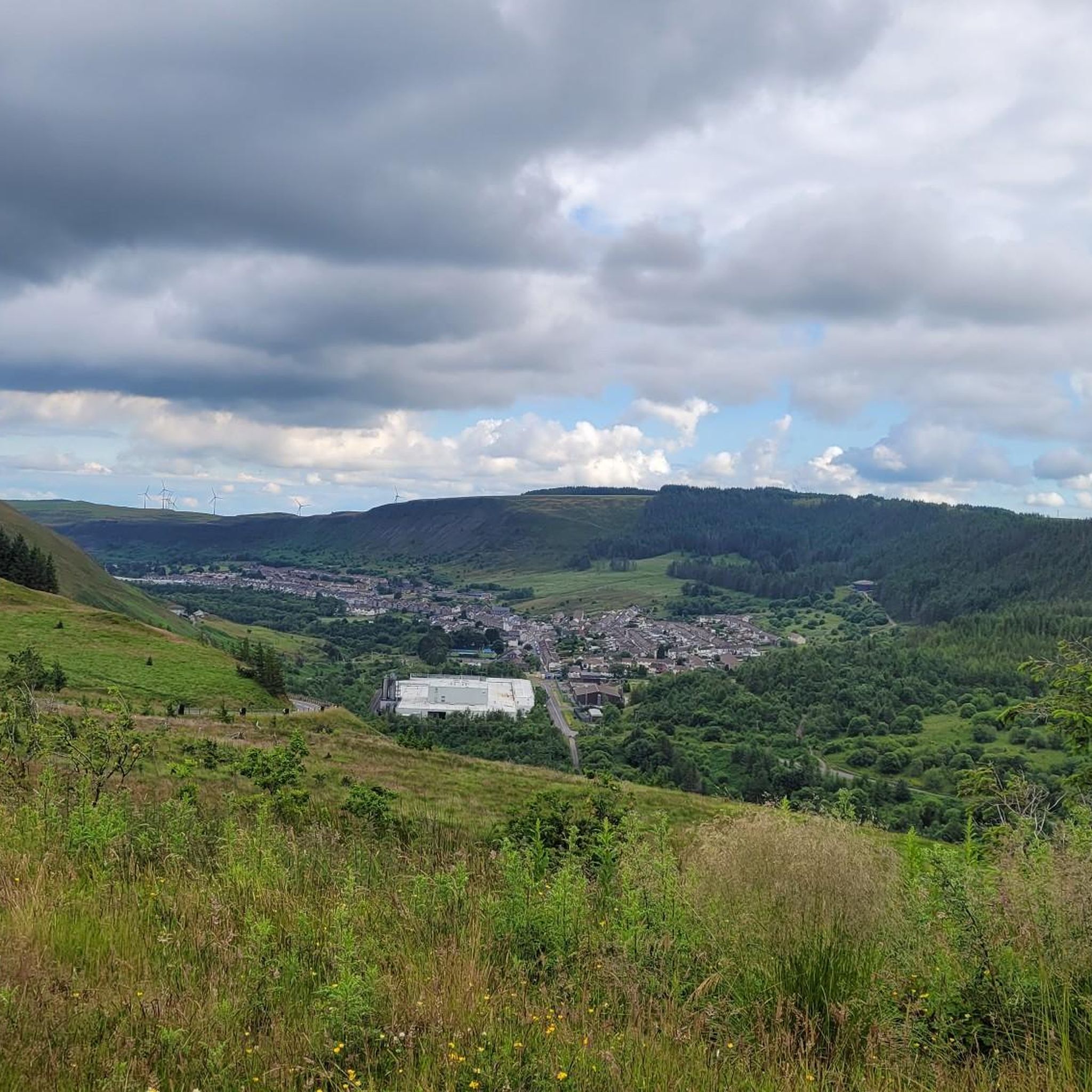
Hiking around St Gwynno Forest explores the woodland terrain of Rhondda Cynon Taf. The region is characterized by its mix of wooded areas, meandering streams, and several reservoirs, including the Lluest-wen Reservoir. The St Gwynno Forest walking trails navigate this landscape, with some routes leading to features like waterfalls and offering views from low hills such as Carn y Pigwn.
Best hiking trails around St Gwynno Forest
- The most popular hiking route is Carn Eiddil to Lluest-wen Reservoir loop, a 8.4 mile (13.5 km) trail that takes about 3 hours 45 minutes to complete. This moderate hike features ascents to viewpoints and paths around the reservoir.
- Another top favourite among local hiking enthusiasts is Lluest-wen Reservoir Dam Wall – Lluest-Wen Reservoir loop from Maerdy, a moderate 5.5 mile (8.8 km) path. The route follows trails around the water, including a section across the dam wall.
- Local hiking enthusiasts also love the Waterfall loop from Stanleytown, a 4.0 mile (6.4 km) trail leading through wooded areas, often completed in about 1 hour 45 minutes.
- Hiking around St Gwynno Forest is defined by its woodland paths, reservoir circuits, and riverside trails. The network of routes offers options for different ability levels, from easy loops to more moderate hikes.
- The routes in St Gwynno Forest are highly rated by the komoot community with an average score of 4.4 stars from over 300 reviews. More than 3,000 hikers have used komoot to explore St Gwynno Forest's varied terrain.
Last updated: July 7, 2026
4.5
(2)
17
hikers
13.5km
03:44
240m
240m
Hike the moderate 8.4-mile Rhondda Fach and Lluest-wen Reservoir Loop, featuring diverse terrain and historical landmarks.
5.0
(1)
32
hikers
6.53km
01:48
110m
110m
Easy hike. Great for any fitness level. Easily-accessible paths. Suitable for all skill levels.

Sign up for free
5.0
(2)
6
hikers
7.67km
02:06
120m
120m
Moderate hike. Good fitness required. Easily-accessible paths. Suitable for all skill levels.
9
hikers
3.76km
01:02
60m
70m
Easy hike. Great for any fitness level. Easily-accessible paths. Suitable for all skill levels.
8
hikers
7.16km
02:00
140m
140m
Easy hike. Great for any fitness level. Easily-accessible paths. Suitable for all skill levels.
Get access to more routes and recommendations from other explorers.
Sign up for free
Already have an account?
Our route recommendations are based on thousands of hikes, rides, and runs completed by other people on komoot.
Start today with a free account
Your next adventure awaits.
Login or Signup

Tips from the Community

Cracking Cafe open, Sat Sun and Wed year round.
0
0

The water here is stunning in the sunlight. A good place to take a few moments to rest the legs.
0
0

cabin gito top cake and coffee open Wednesday and sunday
1
0
New "gravel" been laid along part of this - tennis ball size gravel. Tough to ride on an MTB, might struggle on a gravel bike!
1
0

Climb well worth it for the views over Aberdare / Dare Valley Country Park
0
0

The climb towards Bryn Llechwenddiddos and Bryn Gelli rewards you with great views of the reservoir.
1
0
Lluest-wen Reservoir was constructed in 1898, but came to national attention in 1969 when a major leak caused an evacuation of residents down-valley while emergency repair work was carried out. Back in 1929 the place set a maximum daily rainfall record for Wales, with 211mm of rain recorded. You have been warned!
2
0
Frequently Asked Questions
Where is the best place to park for hiking in St Gwynno Forest?
The main car park for St Gwynno Forest is located off the Llanwonno to Ferndale road and serves as the starting point for many trails. It's a good base for exploring the central part of the forest, including routes that lead to St Gwynno's Church. Arriving early is recommended, especially on weekends, as it can get busy.
Are the walking trails in St Gwynno Forest suitable for dogs?
Yes, St Gwynno Forest is a great place for dog walking. The wide forest tracks and numerous paths offer plenty of space for dogs to explore. Please keep your dog under control, especially near any livestock or wildlife, and be mindful of other forest users such as cyclists and runners.
Can you recommend an easy, family-friendly walk?
For a shorter, more accessible hike, consider the Waterfall loop from Stanleytown. It's a relatively gentle 4-mile (6.4 km) walk through the woods, making it a good option for families or those looking for a less strenuous outing.
Is there a good circular walk that takes in the reservoirs?
Yes, the Lluest-Wen Reservoir – Lluest-wen Reservoir Dam Wall loop from Blaenllechau is an excellent circular route. This moderate 8.4-mile (13.5 km) hike provides a comprehensive tour of the reservoir area, including a walk across the impressive dam wall.
What is the terrain like on the trails?
The terrain is varied. You'll find a mix of well-maintained forest tracks, narrower woodland paths, and open moorland trails. Some routes involve moderate ascents and descents, and paths can become muddy and uneven after rain, so sturdy, waterproof footwear is recommended.
Are there any walks that include historical points of interest?
Many trails pass near St Gwynno's Church in Llanwonno, a medieval church known for its early stone crosses and as the burial place of the legendary 18th-century runner, Guto Nyth Brân. Incorporating a visit to the church adds a fascinating historical element to your hike.
Which hike offers the best viewpoints?
For panoramic views, the Stone Bridge Over Stream – Tarren y Bwllfa loop from Cwmaman is a great choice. The route includes ascents that reward you with expansive views over the surrounding woodland and valleys. On a clear day, you might even see as far as the Bristol Channel.
How many hiking trails are available in St Gwynno Forest?
There are over 200 hiking routes to explore in and around St Gwynno Forest. These range from short, easy loops perfect for a quick walk to longer, more challenging treks, with 129 moderate and 100 easy trails available.
What do other hikers enjoy most about St Gwynno Forest?
The area is highly regarded by the komoot community, with over 3000 hikers having explored the trails. Reviewers often praise the tranquility of the forest, the variety of the routes, and the mix of natural beauty and local history, such as the serene reservoirs and the legendary Guto Nyth Brân's grave.
Is it possible to reach the trailheads by public transport?
Reaching the heart of the forest directly via public transport can be challenging due to its rural location. The most practical approach is to take a bus to one of the nearby towns like Pontypridd, Aberdare, or Ferndale, and then use a taxi for the final leg to a trailhead. Some routes also start from the edge of these communities.
Are there any pubs or cafes near the trails?
The nearby village of Llanwonno has a historic pub that is popular with walkers for a post-hike refreshment. For a wider selection of cafes, pubs, and restaurants, you would need to travel to the larger surrounding towns such as Pontypridd or Aberdare.
Most popular routes around St Gwynno Forest
Most popular attractions around St Gwynno Forest

Get inspired with the komoot mobile app


Explore more
Browse the best Hikes in other regions.
