The best cycling routes in Forêt De Bourgouët
4.6
(216)
1,347
riders
128
rides
Touring cycling routes in Forêt De Bourgouët traverse a natural setting characterized by dense woodlands and a generally low average altitude of around 75 meters. The forest provides a green environment with paths suitable for relaxed cycling. The surrounding region of Ille-et-Vilaine, Brittany, features varied terrain, including flat towpaths along the Canal d'Ille et Rance and more challenging routes that connect to regional landmarks. This area offers a mix of paved and unpaved surfaces, catering to different touring cycling preferences.
…Last updated: July 4, 2026
4.8
(10)
35
riders
128km
07:45
880m
880m
Hard bike ride. Very good fitness required. Mostly paved surfaces. Suitable for all skill levels.
4.5
(2)
10
riders
28.1km
01:51
120m
120m
Easy bike ride. Great for any fitness level. Mostly paved surfaces. Suitable for all skill levels.

Sign up for free
23
riders
40.7km
03:06
320m
320m
Hard bike ride. Good fitness required. You may need to push your bike for some segments of this route.
3.8
(4)
18
riders
55.7km
03:57
330m
330m
Moderate bike ride. Good fitness required. Mostly paved surfaces. Suitable for all skill levels.
10
riders
43.2km
03:20
210m
210m
Hard bike ride. Good fitness required. You may need to push your bike for some segments of this route.
Get access to more routes and recommendations from other explorers.
Sign up for free
Already have an account?
Our route recommendations are based on thousands of hikes, rides, and runs completed by other people on komoot.
Start today with a free account
Your next adventure awaits.
Login or Signup


Tips from the Community

Hello, your Point of Interest • 10 km cycle path from Rougé to Châteaubriant (48°16'19.6"N 1°39'50.1"W) is not located correctly on the map. Here are the correct coordinates: 47°46'48.7"N 1°27'11.3"W. Sincerely
0
0

one of the tide mills on the Rance, worth the detour
0
0

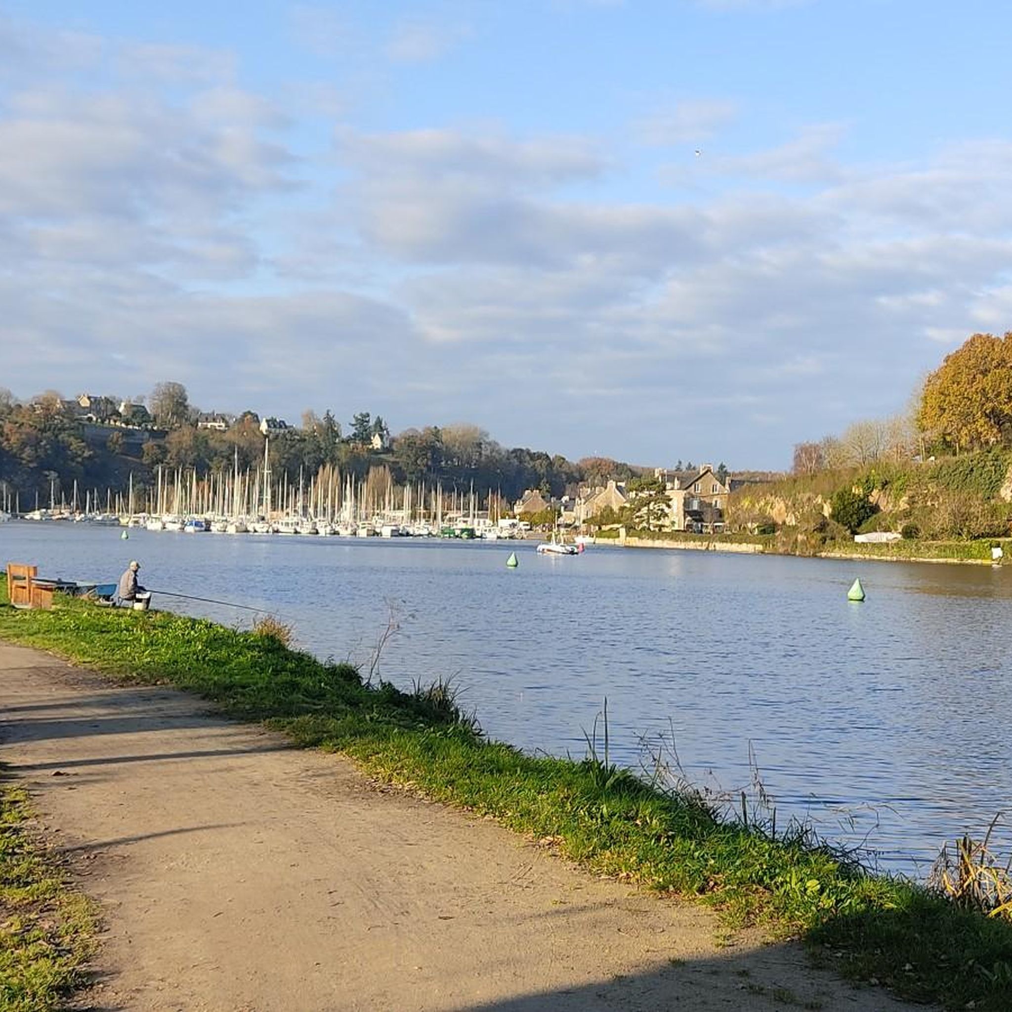
Going back up towards St-Malo, a pretty path to the left (Rance valley) allows you to partly avoid the D117.
0
0

There are toilets and electrical outlets here, which saved me on my bike trip.
0
0

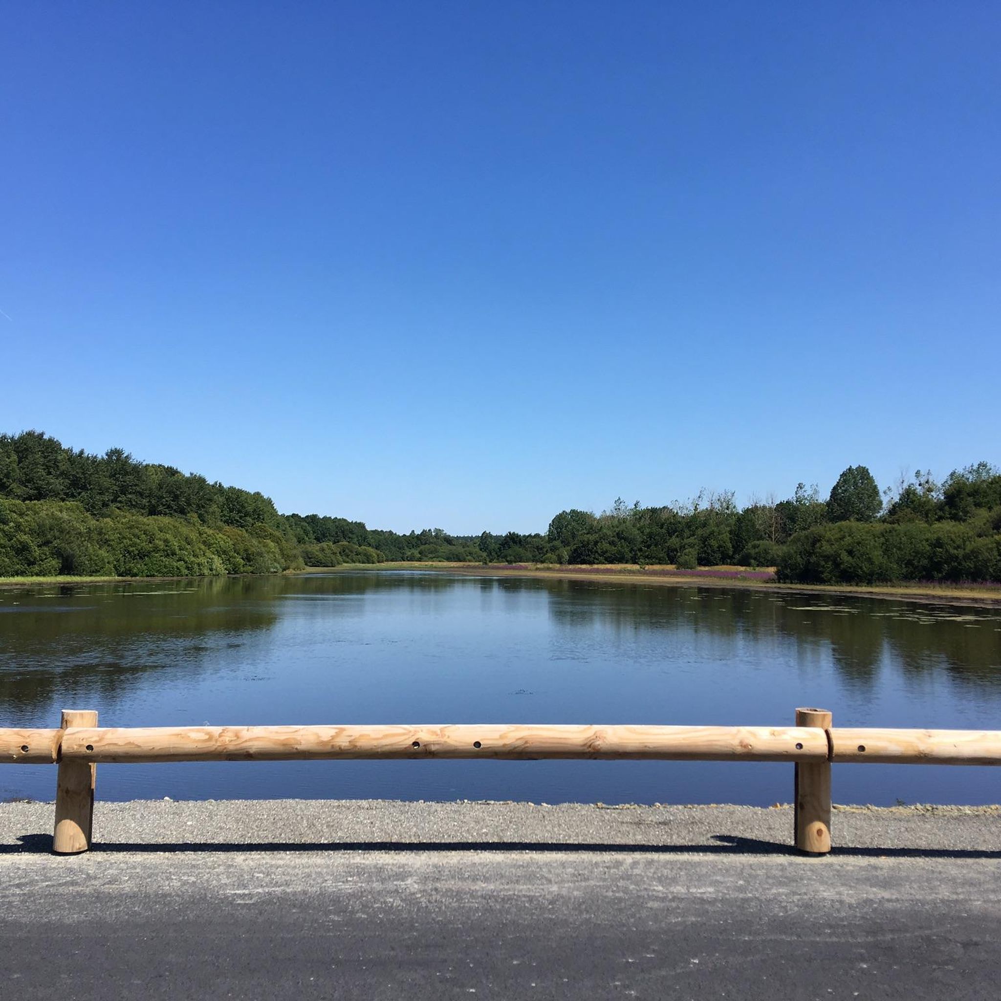
Lots of roots, but it's worth shaking as it's so beautiful, surrounded by water.
0
0


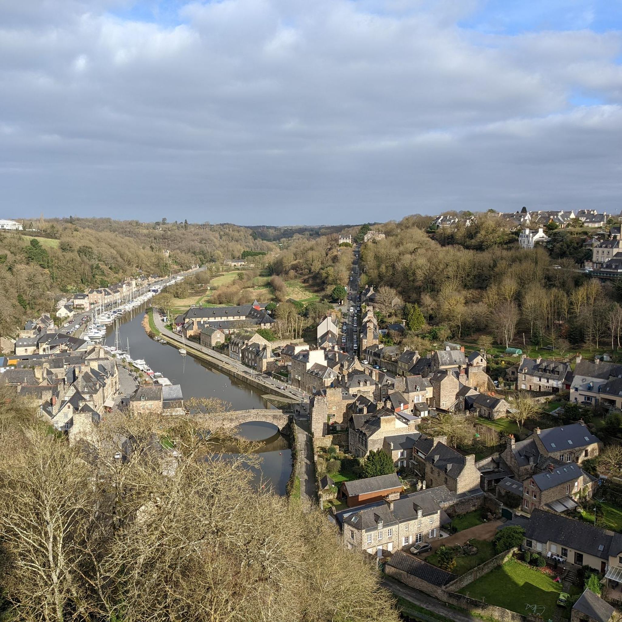
Good spot to take a break with a very nice view!
0
0
Good spot to take a break with a very nice view!
0
0
Frequently Asked Questions
How many touring cycling routes are available in Forêt De Bourgouët?
There are nearly 140 touring cycling routes in Forêt De Bourgouët, offering a wide range of options for different skill levels and preferences. This includes 44 easy routes, 49 moderate routes, and 44 difficult routes.
What kind of terrain can I expect on touring cycling routes in Forêt De Bourgouët?
The terrain in Forêt De Bourgouët is diverse, featuring dense woodlands and a generally low average altitude. You'll find a mix of paved and unpaved surfaces. Many routes follow tranquil canal paths, disused railway lines, or quiet country lanes, characteristic of the broader Brittany region.
Are there any easy touring cycling routes suitable for beginners or families?
Yes, Forêt De Bourgouët offers 44 easy touring cycling routes. A great option for a gentler ride is the Lock No. 30 La Guéhardière – Site des Onze écluses loop from Dingé, which is 28.1 km long and often follows the scenic Canal d'Ille et Rance.
What do other touring cyclists enjoy most about cycling in Forêt De Bourgouët?
The area is highly rated by the komoot community, with an average score of 4.6 stars from over 170 reviews. Touring cyclists often praise the serene natural environment, the variety of routes, and the tranquil canal paths that make for a pleasant cycling experience.
Are there any circular touring cycling routes in Forêt De Bourgouët?
Many routes in Forêt De Bourgouët are designed as loops, allowing you to start and finish in the same location. For example, the Ville Morin Lock – Site des Onze écluses loop from Dingé is a moderate 55.7 km circular route that takes you through varied countryside.
What are some notable landmarks or natural features to see along the routes?
While cycling through Forêt De Bourgouët, you'll experience lush green landscapes and dense woodlands. Many routes connect to significant regional landmarks and waterways, such as the Canal d'Ille et Rance and the Site des Onze écluses (Eleven Locks), offering scenic views and points of interest.
When is the best time of year to go touring cycling in Forêt De Bourgouët?
The region of Brittany generally offers invigorating sea air and natural beauty, making it pleasant for cycling during spring, summer, and early autumn. These seasons provide the most favorable weather conditions for exploring the diverse routes.
Is it possible to access the cycling routes using public transport?
Forêt De Bourgouët is located near Dingé. While specific public transport options directly to trailheads may vary, the broader Brittany region is well-connected. It's advisable to check local public transport schedules and bike carriage policies for services to Dingé or nearby towns.
Are there options for more challenging touring cycling routes?
Yes, Forêt De Bourgouët has 44 difficult touring cycling routes. An example is the Le Cube – Ville Morin Lock loop from Feins, a 43.2 km route with over 200 meters of elevation gain, offering a more demanding ride.
Where can I find more information about cycling in Brittany?
For broader information on cycling destinations within the region, you can visit the official France Vélo Tourisme website for Brittany by bike. This can provide additional context on the extensive network of cycling paths in the area.
Are there any specific rules or permits required for cycling in Forêt De Bourgouët?
Generally, no specific permits are required for cycling on public paths and designated routes within Forêt De Bourgouët. However, always respect local signage, private property, and environmental regulations to ensure a pleasant experience for everyone.
Most popular routes in Forêt De Bourgouët

Get inspired with the komoot mobile app


Explore more
Browse the best Cycling routes in other regions.
