The best road cycling routes in Forêt De Vioreau
4.0
(2)
120
riders
31
rides
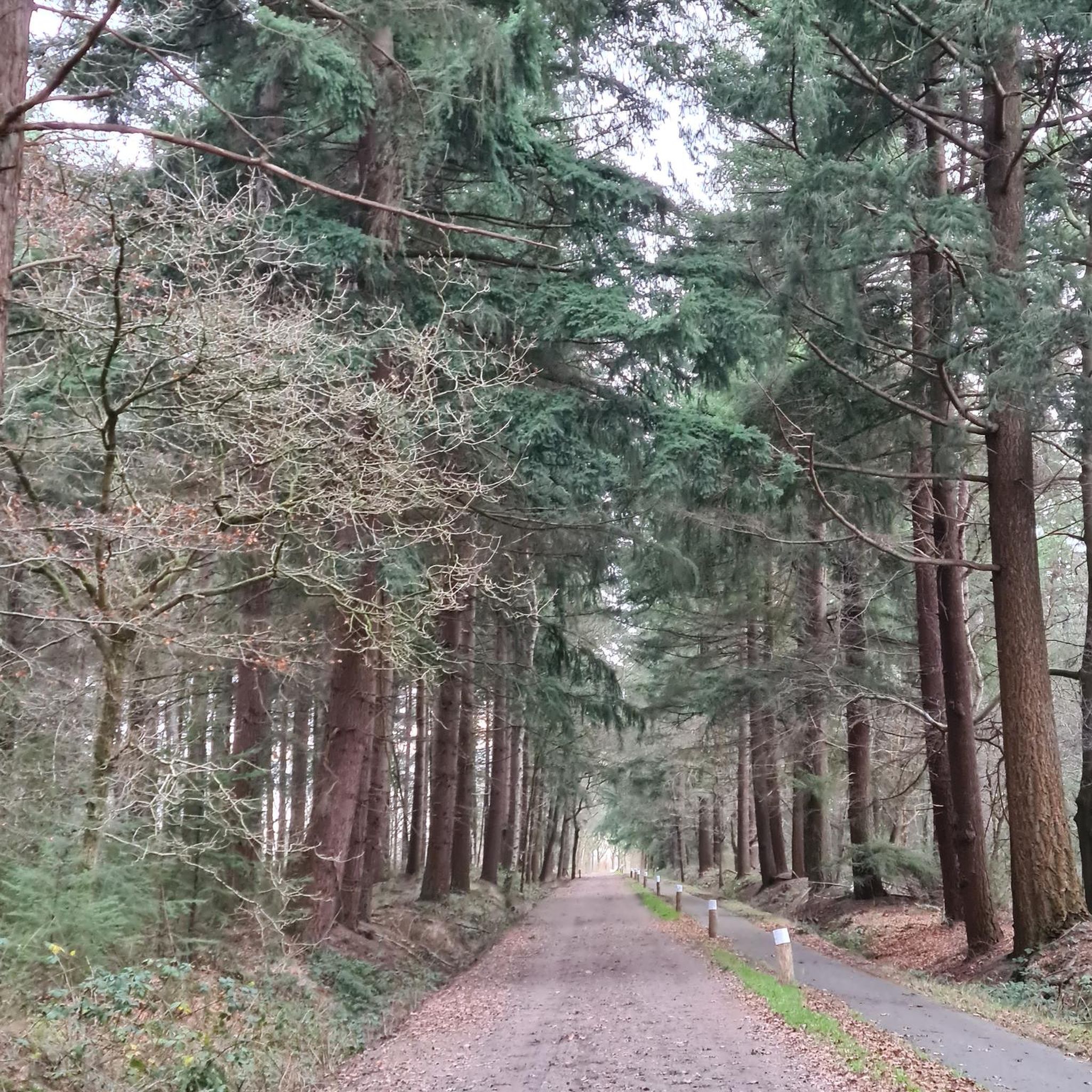
Road cycling in Forêt De Vioreau is characterized by a diverse landscape encompassing a 750-hectare forest and the expansive Lac de Vioreau. The forest features acidophilous species like oak and beech, with sections of coniferous plantations. Adjacent to the forest, Lac de Vioreau is the largest navigable inland body of water in Loire-Atlantique, providing scenic lakeside paths. This interplay of dense woodland and open water creates varied terrain suitable for road cyclists.
Best road cycling routes in Forêt De Vioreau
…Last updated: May 24, 2026
9
riders
Moderate road ride. Good fitness required. Mostly well-paved surfaces and easy to ride.
9
riders
19.3km
00:57
140m
140m
Easy road ride. Great for any fitness level. Mostly well-paved surfaces and easy to ride.

Sign up for free
6
riders
34.6km
01:31
250m
250m
Moderate road ride. Great for any fitness level. Some segments of this route may be unpaved and difficult to ride.
2
riders
Moderate road ride. Good fitness required. Some segments of this route may be unpaved and difficult to ride.
4
riders
35.6km
01:26
200m
200m
Easy road ride. Great for any fitness level. Mostly well-paved surfaces and easy to ride.
Get access to more routes and recommendations from other explorers.
Sign up for free
Already have an account?
Our route recommendations are based on thousands of hikes, rides, and runs completed by other people on komoot.
Start today with a free account
Your next adventure awaits.
Login or Signup
Popular around Forêt De Vioreau

Tips from the Community


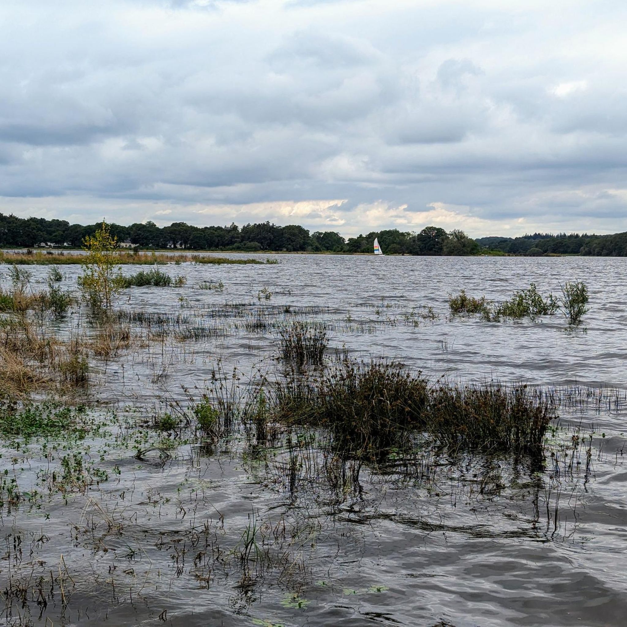
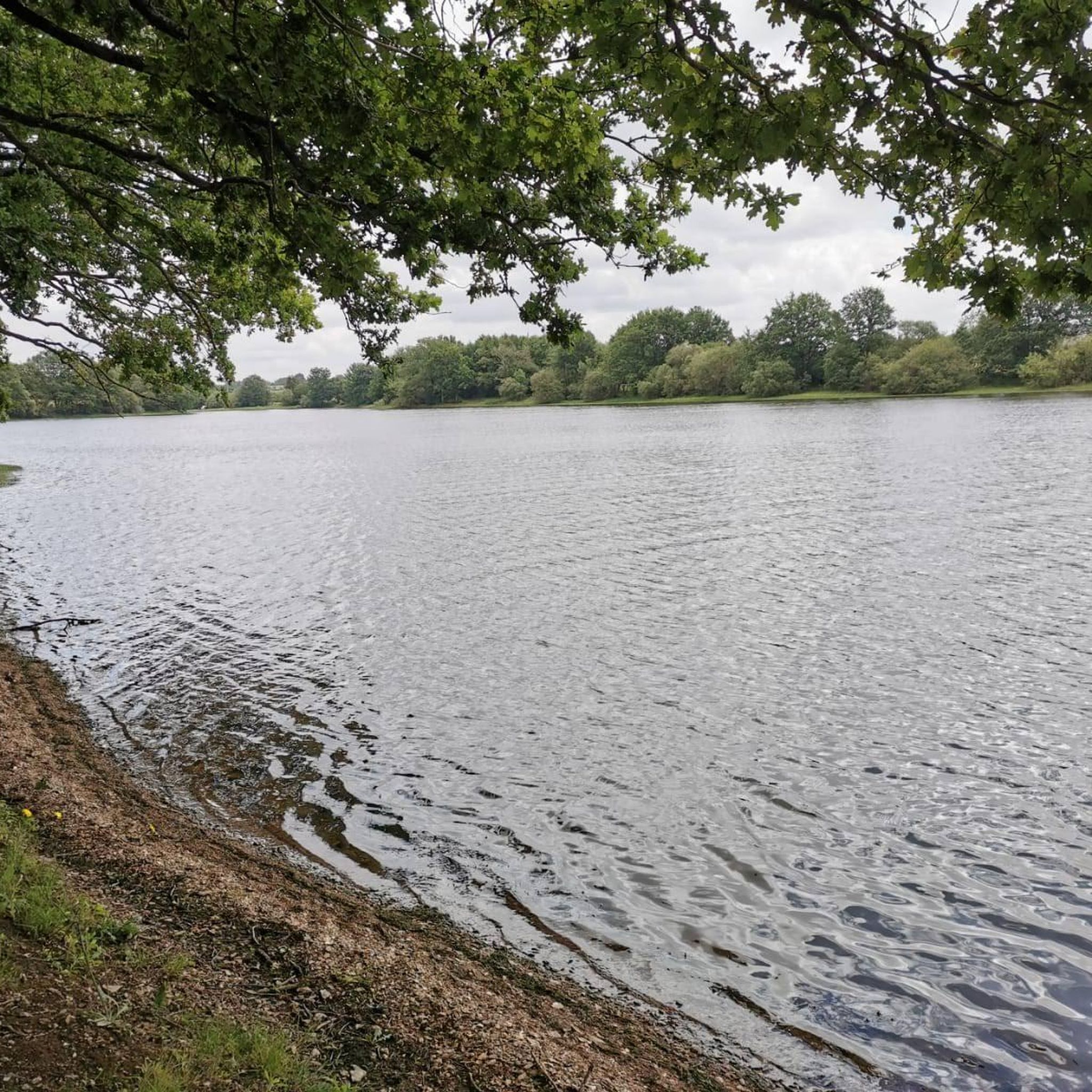
The west bridge of Lake Voireau offers a beautiful, unobstructed view of the reservoir. The largest body of water in Loire-Atlantique, this lake stretches through the heart of the forest. Its wooded banks and landscaped beaches make it a pleasant stopover for a nature break or a swim.
0
0


The church, which consists of a large nave and two six-bay aisles, a transept, and a three-bay choir without an ambulatory, is 65 meters long. The transept is 26.50 m long, and the naves are 17.5 m wide. The bell tower is 65 meters high without the cross. It has a set of five bells made in 1895 by the Bollée foundry in Le Mans: Saint-Nicolas (the bourdon), weighing 4027 kg, playing the A of octave 2 Anne, weighing 1552 kg, playing the D of octave 3 Marie, weighing 1067 kg, playing the M of octave 3 Joséphine-Jeanne, weighing 726 kg, playing the F sharp of octave 3 Henriette-Victorienne, weighing 450 kg, playing the A of octave 3
0
0
The original chapel, initially dedicated to Notre-Dame, was built by Geoffroy IV, Baron of Châteaubriant, on the site where the cattle market was held from May to October until 1763. A text attests to its existence in 1263. [Threatening to fall into ruin, it was demolished in 1518, leaving only the choir of the old chapel standing. The place of worship was immediately rebuilt in a more spacious form using Châteaubriant schist (Nozay stone), based on the plans of Jean Delorme, brother of Philibert Delorme, thanks to the demolition of a neighboring house and the financial support of Jean de Laval. However, the latter's poor financial situation meant that by 1530, only the nave of the building had been built. At the death of Françoise de Foix in 1537 and Jean de Laval in 1543, the Notre-Dame chapel still lacked a framework. It was not until 1551 that the final work was undertaken by Baron Anne de Montmorency. The dedication of the new place of worship took place ten years later, on November 5, 1561, in the presence of the coadjutor of the Bishop of Nantes, and the name of Notre-Dame was changed to Saint-Nicolas, for an unknown reason. On the same day, the body of Jean de Laval, then encased in a lead reliquary, was transported from the castle chapel to the new building. Jean de Laval had wished to see the chapel erected as a collegiate church, but this wish was not granted. However, the building, as vast as a church, shared the honors of worship with the Church of Saint-Jean de Béré, which was then the parish church of the town, until the Revolution. Indeed, the Saint-Nicolas chapel, although of undeniable architectural value, was not suitable for worship in a parish as large as that of Châteaubriant. Nevertheless, in the 15th and 16th centuries, masses, vespers, and many ceremonies were held in the chapel for reasons of convenience, as it was closer to the town of Châteaubriant, while baptisms were all celebrated at Saint-Jean de Béré. At the end of the 19th century, the church, which became the parish seat in 1801, was completely rebuilt. The architect Eugène Boismen drew up the plans, inspired by those of the Saint-Nicolas basilica in Nantes, one of the first neo-Gothic projects in France, which was beginning to inspire architects throughout the west of the country. The foundation stone was blessed on April 25, 1875, by Bishop Fournier of Nantes. The choir, sacristies, transept, and five bays were only completed at the time of the consecration, which was performed by his successor, Bishop Le Coq, on February 1, 1881. The foundations of the bell tower and the remaining bay began in June 1892, based on plans by architect François Bougoüin. The tower and spire were completed in August 1894.
0
0
nighttime. A medieval fortress and Renaissance building, Châteaubriant Castle recounts ten centuries of history. In the Middle Ages, Châteaubriant Castle was at the heart of the Marches of Brittany. It served as a stronghold defending the duchy against the Kingdom of France. The keep, ramparts, seigneurial chapel, and the medieval courtyard lodgings still bear witness to the power of this fortress. In the 16th century, the bailey became a residence opening onto the gardens. The castle gardens are open to the public from February to December. Visit maps are available at the reception-shop for a better understanding of the site. A 3D space allows you to discover, with free access, the architectural evolution of the castle, from the 11th century to the present day. From February to December, heritage mediators will accompany you on an in-depth tour of the castle, its keep, and its gardens. During school holidays, family workshops allow parents and children to develop their creativity or spark their curiosity! Opening days: Gardens are open to the public, Wednesday to Sunday: 9am-6pm (February-March and October-December) or 9am-7:30pm (April-September). Prices: - Free entry for those over €0.00 (Free access to the château gardens) - Individual adult rate from €3.00 to €6.00 (Guided tours, free for those on minimum income and special cards) - Individual child rate from €0.00 (Guided tours free for those under 26) - Individual child rate from €0.00 (Guided tours free for those under 26) Child from €4.00 to €8.00 (Family activity) - Adult group rate from €5.00 (From 15 people) Payment methods: Credit cards - Bank and postal checks - Cash Tours Self-guided tours (individual): Yes Guided tours (individual): Yes Average visit duration (individual): 1 hour Self-guided tours (groups): Yes Guided tours on request (groups): Yes Guided tours (groups): Yes Average visit duration (groups): 1 hour Languages: Tour: French, English - Signs: French, English Services: Interactive kiosk - Shop - WiFi Additional information: Groups of 15 people or more are welcome - Pets allowed (Dogs on leashes are allowed in the park.) - Points of interest visible without a tour Access Location: SNCF train station: 0.5 km
0
0
Also known as the "basin," the port of Nort-sur-Erdre is a lively, historic neighborhood that's a great place to stop off. At the foot of the Saint-Georges Bridge, which separates the wild Erdre from the navigable Erdre, the marina is now a popular place for walking and fishing. Free Wi-Fi access near the Tourist Office Contact the harbor master's office for an extended stay; the first two nights are free. Open year-round Type of facility: Slipway - River stopover - Pontoon - Marina Payment methods: Bank and postal checks Access location: Nort-sur-Erdre train station: 1 km Languages spoken: French Facilities: Picnic area - Restrooms - Services - Playground
0
1

This recently built church (end of the 19th century) is visible from afar with its 65 meters in height.
0
0
Frequently Asked Questions
What kind of terrain can I expect on road cycling routes in Forêt De Vioreau?
Road cycling in Forêt De Vioreau offers a diverse landscape. You'll find routes winding through the dense 750-hectare forest, characterized by oak and beech trees, and sections with coniferous plantations. Many routes also feature scenic lakeside paths along the expansive Lac de Vioreau, the largest navigable inland body of water in Loire-Atlantique. The surfaces are mostly paved, making them suitable for road bikes.
Are there road cycling routes suitable for beginners in Forêt De Vioreau?
Yes, Forêt De Vioreau offers several easy road cycling routes. For instance, the Lake Vioreau – West bridge at Lac de Vioreau loop from La Bolinière is an easy 19.2 km trail with minimal elevation gain, perfect for a relaxed ride. Overall, 12 of the 30 available routes are classified as easy.
What are the difficulty levels for road cycling routes in Forêt De Vioreau?
The road cycling routes in Forêt De Vioreau cater to various skill levels. You'll find a good mix of options: 12 routes are classified as easy, 17 as moderate, and there is 1 more challenging route for experienced cyclists. This variety ensures there's something for everyone, from leisurely rides to more demanding tours.
Are there any notable landmarks or natural features to see while cycling in Forêt De Vioreau?
Absolutely. The region is rich in natural beauty and points of interest. You can cycle past the vast Lac de Vioreau, which is a significant natural site, and through the ancient acidophilous forest with its diverse tree species like oak and beech. Some routes might also take you near historical sites or charming villages. For example, the Château de Châteaubriant – Châteaubriant Castle loop from La Meilleraye-de-Bretagne offers a chance to see the historic Château de Châteaubriant.
What do other road cyclists say about the routes in Forêt De Vioreau?
The road cycling routes in Forêt De Vioreau are highly regarded by the komoot community, holding an average rating of 4.0 stars from over 2 reviews. More than 130 road cyclists have explored the area using komoot, often praising the varied terrain that combines dense forest with scenic lakeside paths.
Are there any loop routes available for road cycling in Forêt De Vioreau?
Yes, many of the road cycling routes in Forêt De Vioreau are designed as loops, offering convenient starting and ending points. Examples include the Lake Vioreau – West bridge at Lac de Vioreau loop from La Bolinière and the West bridge at Lac de Vioreau – Mount Juillet loop from Notre-Dame-des-Langueurs, which allow you to return to your starting point without retracing your steps.
Can I find family-friendly road cycling routes in Forêt De Vioreau?
Yes, with 12 easy routes available, Forêt De Vioreau offers several options suitable for families. These routes typically feature less elevation gain and shorter distances, making them enjoyable for cyclists of all ages. The scenic lakeside paths around Lac de Vioreau are particularly pleasant for family outings.
When is the best time of year to go road cycling in Forêt De Vioreau?
The spring and autumn months generally offer the most pleasant conditions for road cycling in Forêt De Vioreau, with milder temperatures and beautiful natural scenery. Summer can also be enjoyable, especially around the lake, but it's advisable to cycle earlier in the morning or later in the afternoon to avoid the midday heat. The area's diverse forest and lake environment provide picturesque views throughout these seasons.
Are there places to eat or drink near the road cycling routes in Forêt De Vioreau?
While specific cafes and pubs are not detailed in the route data, the region around Forêt De Vioreau and Lac de Vioreau is popular for outdoor activities. You can expect to find amenities in nearby towns like Joué-sur-Erdre and La Meilleraye-de-Bretagne, which are often starting points or pass-throughs for cycling routes. The developed beaches at Lac de Vioreau also offer pleasant spots for relaxation and picnics.
What are the options for parking when road cycling in Forêt De Vioreau?
Given the popularity of outdoor activities in Forêt De Vioreau and around Lac de Vioreau, there are typically designated parking areas available. Many routes start from villages or specific points around the lake, such as La Bolinière or La Meilleraye-de-Bretagne, where you can usually find suitable parking for your vehicle before starting your ride.
How many road cycling routes are available in Forêt De Vioreau?
There are over 30 road cycling routes available for exploration in Forêt De Vioreau, offering a wide range of distances and difficulty levels to suit different preferences and fitness levels.
Are there any longer, more challenging road cycling routes in the area?
Yes, for those seeking a longer ride, the Port of Nort-sur-Erdre – West bridge at Lac de Vioreau loop from La Meilleraye-de-Bretagne is a moderate 42.6 km route that connects different points and provides varied scenery. There is also one route classified as difficult for advanced cyclists looking for a significant challenge.
Most popular routes in Forêt De Vioreau

Get inspired with the komoot mobile app


Explore more
Browse the best Road cycling routes in other regions.
